
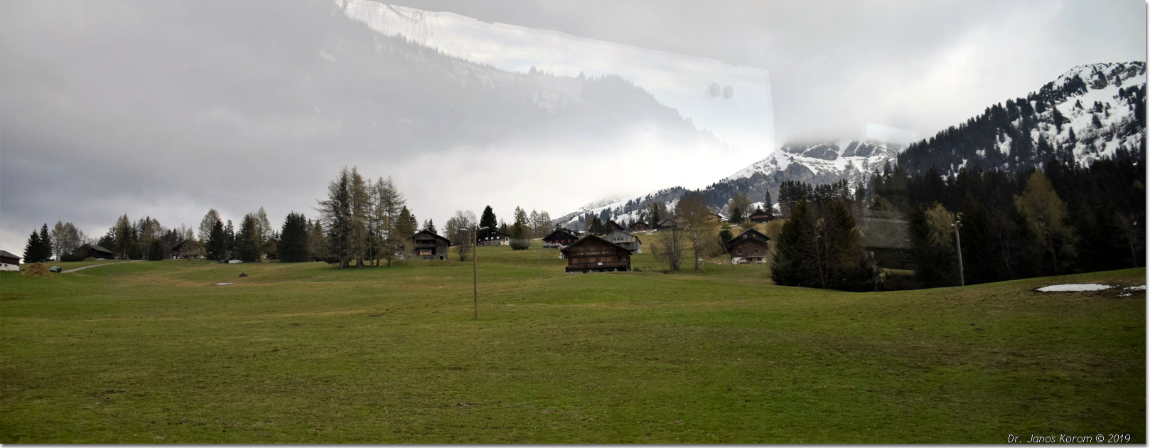
Pic Chaussy oberhalb von Les Mosses
The Pic Chaussy hike from Col des Mosses via Lac Lioson is a moderate (SAC T2) 7.9 km round-trip trail taking around 3.5 to 4 hours. It climbs approximately 770 meters from Lioson d'en Bas up to the 2,351m summit, offering spectacular views across the Vaud Alps and Lake Geneva. Standing proudly at 2,351 meters above the Col des Mosses, Pic Chaussy is one of the most treasured and recognizable summits in the Vaudois Alps. Passing by the crystal-clear alpine waters of Lac Lioson, the route scales alpine pastures and a dramatic ridge leading to an unforgettable 360-degree panorama encompassing the Mont Blanc range and distant Lake Geneva.
- Distanz
- 7.9 km
- Dauer
- 4 h
- Aufstieg
- 770 m
- Schwierigkeit
- Mittel
Auf einen Blick
3/5
5/5
4/5
Jul – Okt
Route
Die Route, Schritt für Schritt
- 1
Lioson d'en Bas Car Park
Start from the parking area above Col des Mosses and follow the marked track uphill toward Lac Lioson.
- 2
Lac Lioson Shoreline
Pass the mountain restaurant and skirting the right bank of the lake, follow signs pointing toward 'Pic Chaussy'.
- 3
Steep Alpine Pastures
Climb steadily through zigzagging switchbacks up the open grassy slopes towards the col below the peak.
- 4
Summit Ridge Push
Tackle the short, final rocky ridge section leading directly to the summit cross at 2,351m.
Höhenprofil
Wähle deine Variante
Short
Hike only up to Lac Lioson and back, skipping the peak (3.2 km, ~1h 30m).
Classic
Full round trip from Lioson d'en Bas car park to Lac Lioson and Pic Chaussy summit (7.9 km, ~4h).
Extended
Continue across the ridge descending down toward Les Diablerets village (12.5 km, ~5h 30m).
Tag planen
Anreise & Logistik
- Start
- Take the train to Aigle, then board the scenic TPC PostBus up to Col des Mosses village (approx. 40 minutes), followed by a short walk or local connection to Chemin du Lioson.
- Ziel
- Fahrt von Aigle zum Col des Mosses, etwa 35 Minuten.
- Parkplatz
- Drive from Aigle or Château-d'Œx to Col des Mosses, turn onto Chemin du Lioson, and drive up to the Lioson d'en Bas parking lot. Limited parking at Lioson d'en Bas (~15 spaces; arrive early on weekends or park in lower meadows if full).
Vor dem Aufbruch prüfen
- Arrive early during summer weekends; the small Lioson d'en Bas parking area fills up rapidly.
- Check weather conditions via MeteoSwiss—clear skies are essential to fully enjoy the 360-degree summit views.
- Pack windproof layers for the exposed summit ridge where mountain breezes can be chilly.
- Verify PostBus timetables back toward Aigle if traveling by public transport.
Was dieser Tag kostet
- PostBus Fare (Aigle to Col des Mosses): ~CHF 12.00–18.00 return (half-price with Swiss Travel Pass).
- Parking: Small coin fee or free spots in lower meadow overflows.
- Food/Lunch: CHF 25–40 for meals at Restaurant du Lac Lioson.
Plan B bei Wetterumschwung
If clouds or rain obscure the high peaks, stop your hike at Lac Lioson, enjoy lunch at the restaurant, and skip the upper summit push.
Gut zu wissen
- Regentag
- Visit the Tobogganing Park in nearby Leysin or explore the medieval castle and wine museum in Aigle.
- Mit Kindern
- The walk to Lac Lioson is excellent for families; however, the steep upper climb to Pic Chaussy is best suited for older, experienced children.
- Hunde
- Allowed on leash; grazing cattle and sheep frequent the pastures around Lac Lioson.
Übernachten
Rastmöglichkeiten & Berghütten
Les Mosses restaurants
Ein paar Plätze am Pass.
Summit rocks
Flache Felsen für ein Picknick.
Aigle cafes
Eine Auswahl an Orten im Tal.
Unterkünfte
Budget – Youth Hostel Montreux
Eine Jugendherberge mit Seeblick.
Mid-range – Hotel Masson
Ein traditionelles Hotel in der Nähe des Schlosses Chillon.
Upscale – Fairmont Le Montreux Palace
Ein Grand Hotel am See.
Über Buchungen durch diesen Link erhalten wir möglicherweise eine Provision.
Ausrüstung
Wichtige Ausrüstung
Für diese Wanderung
- Sturdy boots
- Warm layers
- Sun cream
- Poles
- Water and snacks
Immer dabei
- Sturdy hiking shoes with real tread (trainers only on the flattest routes)
- Water, at least 1 to 1.5 litres per person, more in summer
- Rain shell and one warm layer, even on a sunny morning
- Sun cream, hat and sunglasses (UV rises about 10% per 1,000 m)
- Snacks or a picnic and some cash in coins and small notes
- Phone with offline map (SwissTopo or Komoot), power bank, ID
- Small first-aid kit: plasters, blister tape, painkillers
Hintergrund
Die Geschichte
Pic Chaussy commands a strategic panoramic position between the Ormont valley and the Pays-d'Enhaut. Historically grazed by local Vaudois herds, the alpine basin surrounding Lac Lioson ('the pearl of the alpine lakes') is renowned for its crystalline mountain waters and traditional summer cheese-making chalets.
Zum Geniessen
Stop at the Restaurant du Lac Lioson right on the lake's shore for a plate of traditional Swiss fondue or local alpine tart after conquering the summit ridge.
Routenhinweise
Der Pic Chaussy ist ein spitzer Gipfel oberhalb des Col des Mosses, zu dem ein langer Grat hinaufführt. Vom Gipfel aus hat man einen Blick auf die Waadtländer Alpen, das Mont-Blanc-Massiv und an klaren Tagen weit unten auf den Genfer See. Der Weg führt vom Pass aus durch Weideland und dann entlang eines steilen Grats zum Gipfel. Der Aufstieg ist gleichmäßig, am Gipfel jedoch anstrengend. Ein klarer Tag ist unerlässlich. SAC T2: T2 Bergwandern: stellenweise steil, trittsicher sein erforderlich
Wanderungen in der Nähe
- Lac Lioson von Les Mosses aus – Les Mosses, VD
- Chasseron aus Les Rasses – Sainte-Croix, VD
- Chaumont und der Waldweg von Neuenburg – Neuchâtel, NE
Erlebnisse in der Nähe dieser Wanderung
Über Buchungen durch diesen Link erhalten wir möglicherweise eine Provision.
 Gesponsertab CHF 129Gesponsertab CHF 109
Weitere Aktivitäten in der Nähe
Über Buchungen durch diesen Link erhalten wir möglicherweise eine Provision.
Erlebnisse auf GetYourGuide entdeckenWusstest du schon?
Charlie Chaplin's body was stolen from his grave in Corsier-sur-Vevey in 1978 by two mechanics who demanded a ransom.
Wissenschaft & ErfindungenVelcro was invented by Swiss engineer George de Mestral after he noticed burrs sticking to his dog's fur.
Geografie & NaturThe Alps cover ~60% of the country.
Das könnte dir auch gefallen
 Gesponsert
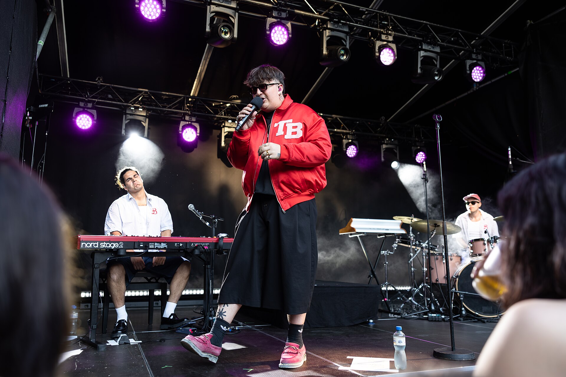
Montreux Jazz Festival
Ein legendäres Musikfestival am Genfersee.
Über Buchungen durch diesen Link erhalten wir möglicherweise eine Provision.
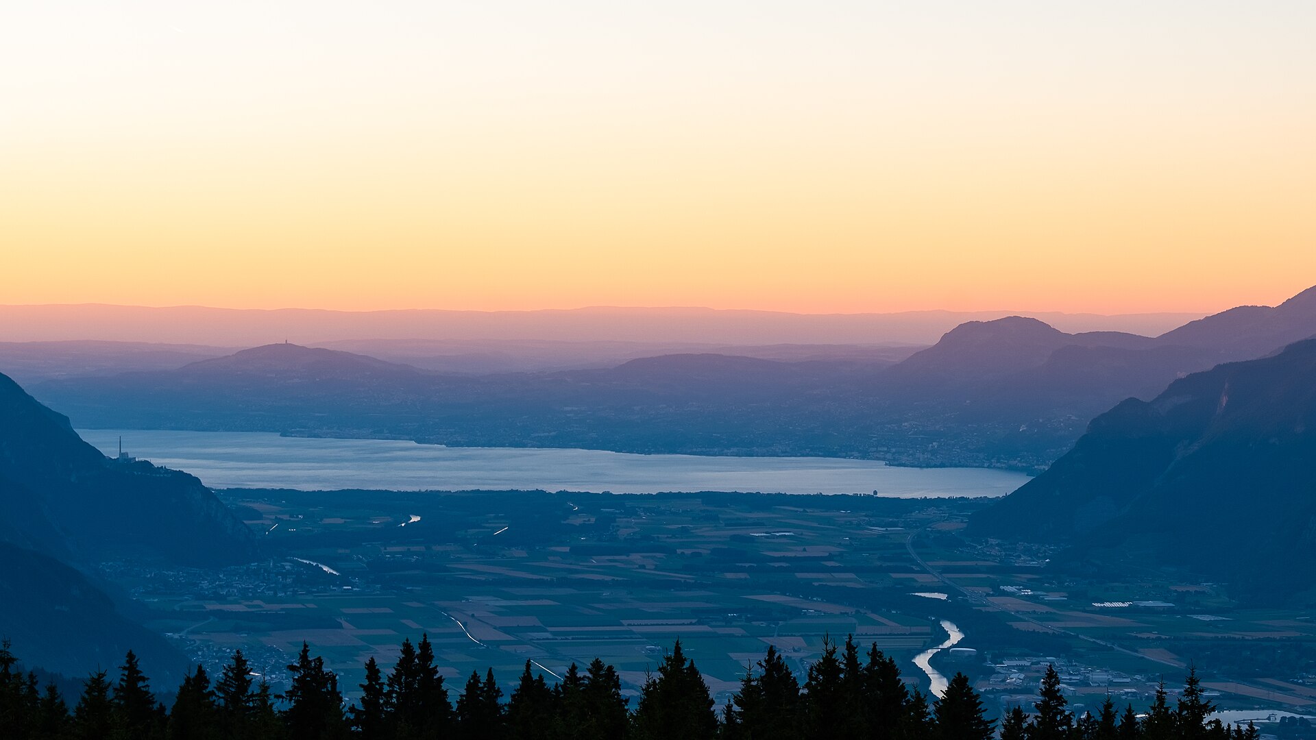
Wanderweg vom Schloss Aigle zu den Weinbergen
Ein malerischer, kulturreicher Spaziergang, der sich durch die historischen Terrassenweinberge des Chablais schlängelt, die das mittelalterliche Schloss von Aigle (Château d’Aigle) umgeben. Das im 12. Jahrhundert erbaute Schloss thront über weitläufigen Chasselas-Weinbergen, im Hintergrund erheben sich die imposanten Kalksteingipfel der Waadtländer Alpen und das Rhonetal. Der Weg führt über gepflasterte Dorfwege, ruhige Weinbergpfade und leicht ansteigende Feldwege und ist somit ideal für Liebhaber von gutem Essen, Wein und Geschichte, die einen entspannten Tagesausflug suchen.
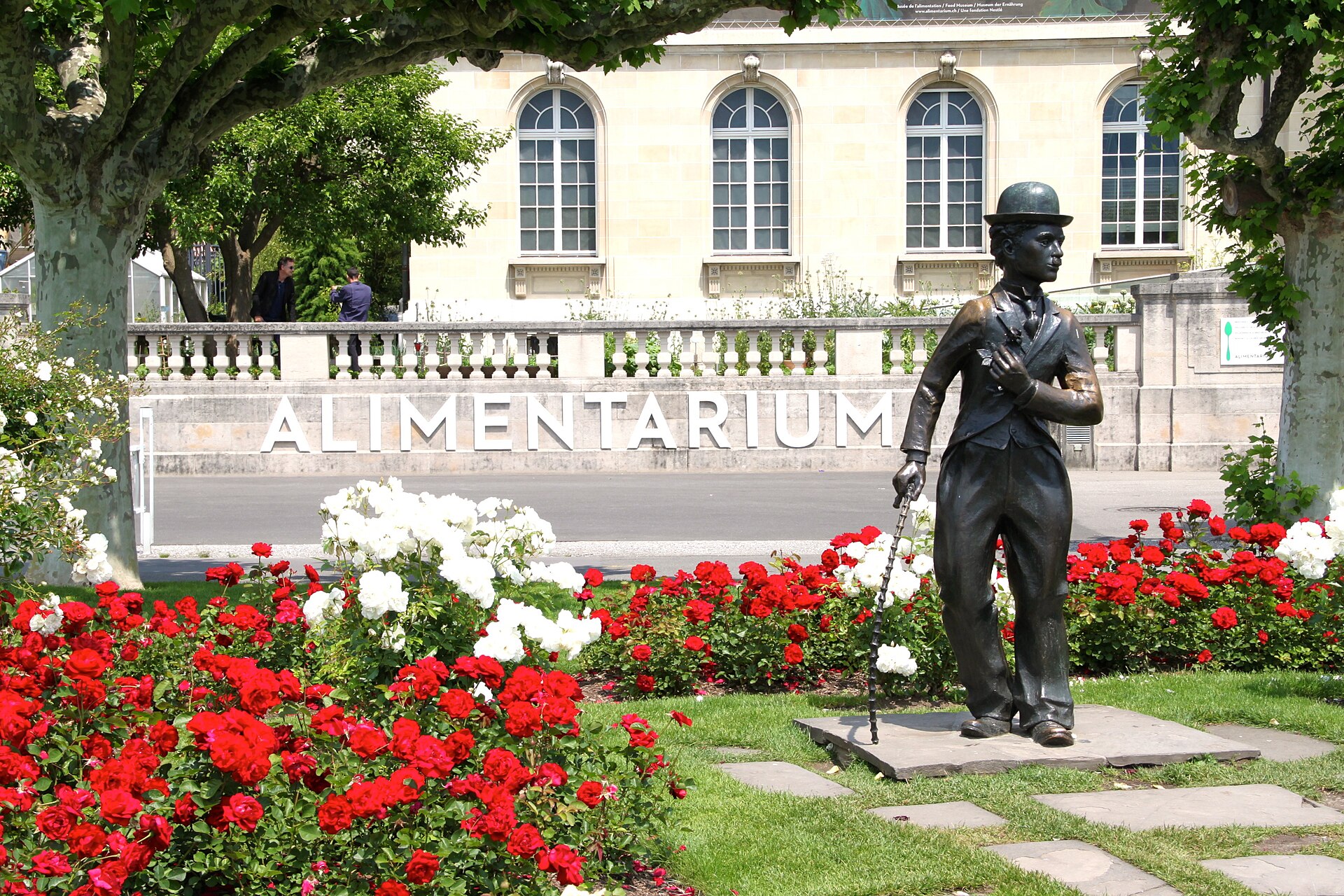
Internationales Strassenkünstler-Festival Vevey 2027
Farbenfrohes Strassenfestival in der Altstadt von Vevey mit Akrobaten, Mimen und Jongleuren am Genfersee.
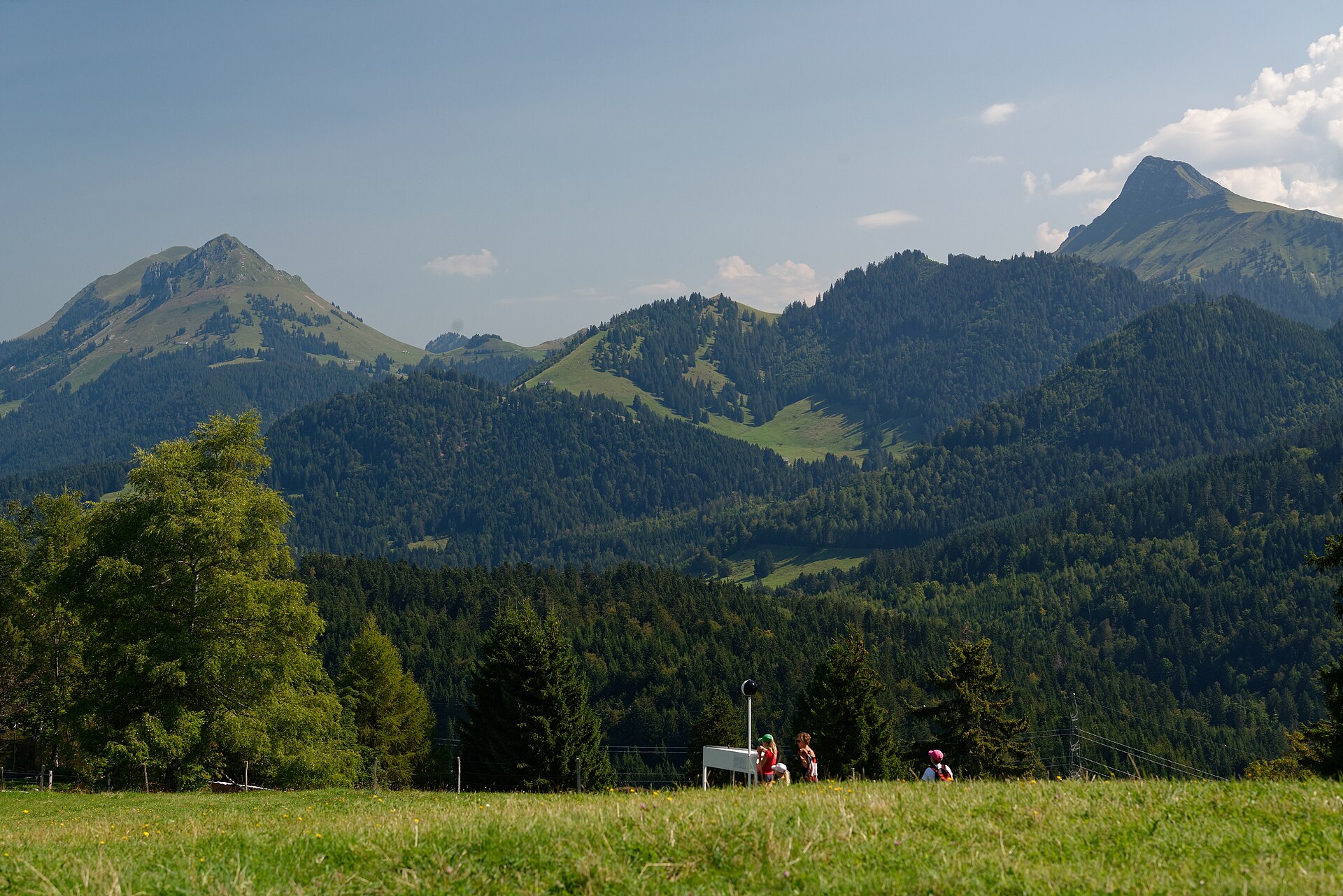
Panorama-Wanderweg von Brenta nach Les Pléiades
Ein herrlicher, sonnenverwöhnter Voralpen-Kammweg, der das malerische Bergdorf Brent (oberhalb von Montreux) mit dem aussichtsreichen Gipfelplateau von Les Pléiades verbindet. Der Weg schlängelt sich durch blühende Narzissenwiesen, duftende Kiefernwälder und sanfte Weiden und bietet atemberaubende, weite Ausblicke über den Genfer See (Lac Léman) hinweg auf die französischen Alpen und die hoch aufragenden Gipfel des Wallis.
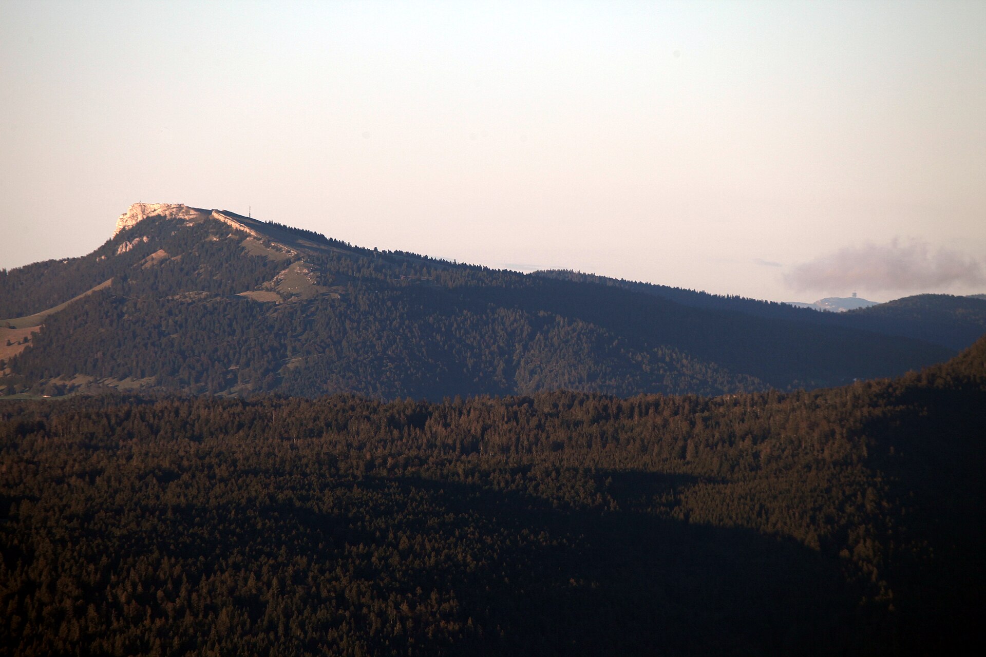
Chasseron aus Les Rasses
Ein Gipfel im Jura mit herrlicher Aussicht und ein Dorf, in dem Spieluhren hergestellt werden.
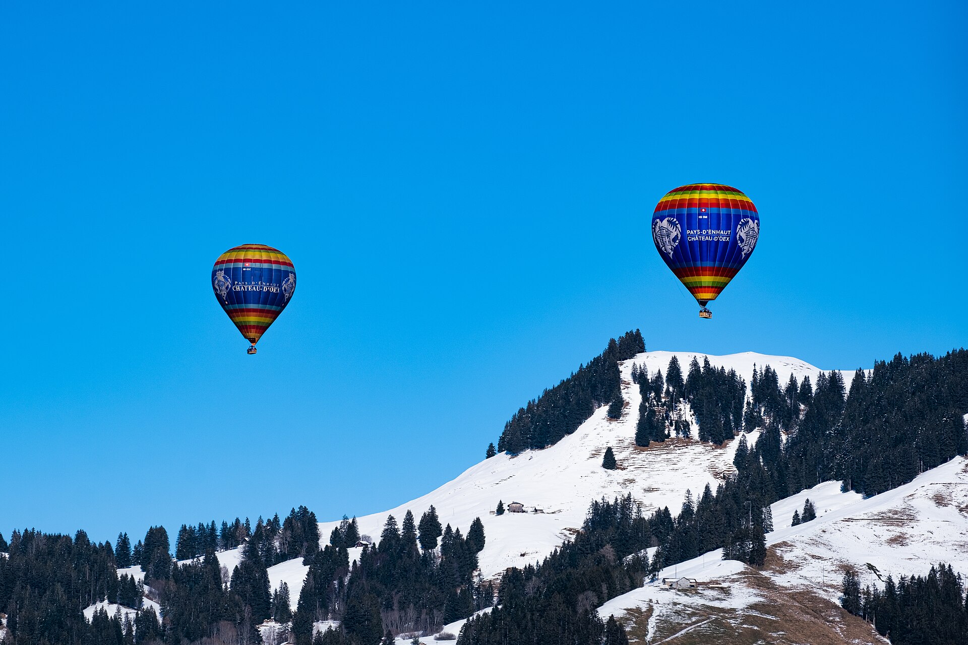
Internationales Ballonfestival Château-d'Œx 2027
Neuntägiges alpines Heißluftballon-Treffen mit spektakulärem Night Glow und internationalen Piloten in den Waadtländer Alpen.