
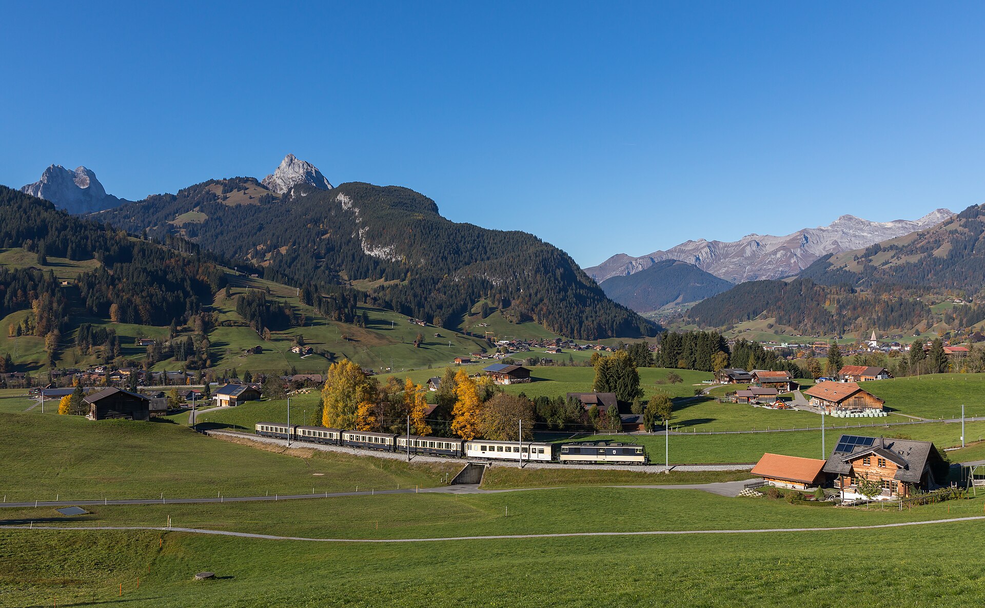
Ascensione alpina del Barrhorn
The Üssers Barrhorn ascent is a challenging (SAC T3) 18.5 km round-trip high-altitude hike starting from Vorder Sänntum in the Turtmann Valley. It climbs ~1,710 meters to reach 3,610m—the highest marked hiking summit in the Alps. Plan for 7 to 8 hours of total moving time. Rising majestically to 3,610 meters, the Üssers Barrhorn holds the prestigious title of the highest officially marked hiking peak in the Alps that requires no technical mountaineering gear. Starting from the remote Turtmann Valley, the trail passes the Swiss Alpine Club Turtmann hut before ascending through high-altitude scree fields to a breathtaking panorama of forty-thousand-meter Valais giants.
- Distanza
- 18.5 km
- Durata
- 8.5 h
- Dislivello
- 1710 m
- Difficoltà
- Difficile
In sintesi
5/5
5/5
1/5
lug – set
Avviso di sicurezza
Pericolo da carenza di ossigeno in alta quota. A 3610 metri l'ipossia e il mal acuto di montagna (AMS) sono pericoli concreti: acclimatati e pernotta in quota alla capanna prima dell'attacco finale. Pur essendo un percorso privo di ghiacciai, il couloir del Gässi richiede passo sicuro su gradini di roccia assicurati con cavi d'acciaio fissi.
Percorso
Il percorso, passo dopo passo
- 1
Vorder Sänntum to Stausee
Start at the Sänntum parking lot (1,903m) and follow the flat valley floor past the Turtmann artificial reservoir lake.
- 2
Turtmann Hut (Turtmannhütte)
Climb up to the SAC Turtmann Hut at 2,519m via either the gorge path or the scenic Holustei route.
- 3
Gässi Pass & High Valley
Scramble up the short secured rocky step of Gässi Pass using fixed cables, then ascend the broad high-altitude stone valley.
- 4
Barrhorn Summit Push
Tackle the final steep scree ridge to reach the summit cross at 3,610m, taking in 360-degree views of Mont Blanc, Monte Rosa, and the Weisshorn.
Profilo altimetrico
Scegli la tua versione
Short
Break the climb into two days by staying overnight at Turtmann Hut (Day 1: 2h, Day 2: 5-6h round trip to summit).
Classic
Full single-day alpine push from Vorder Sänntum parking up to the 3,610m summit and back (18.5 km, ~8h).
Extended
Add a quick 2 km ridge detour to the neighboring Schöllihorn peak (3,499m) for enhanced glacier backdrops.
Pianifica la giornata
Come arrivare e logistica
- Partenza
- Extremely limited public transport up the Turtmann valley; private car or taxi from Turtmann village to Vorder Sänntum is strongly recommended.
- Arrivo
- Torna per lo stesso itinerario fino a Gruben, oppure scegli la variante in traversata che scende nel Mattertal e termina alla stazione ferroviaria di St. Niklaus per il rientro in treno.
- Parcheggio
- Drive past Turtmann town up into the Turtmanntal dead-end road to the designated parking lot at Vorder Sänntum. Paid parking at Vorder Sänntum (~CHF 4.00–5.00 for 12 hours; bring coins/cash as mobile signal is absent).
Prima di partire, controlla
- Start before sunrise (05:00–06:00) to ensure you reach the summit and descend safely before afternoon thunderstorms build.
- Bring physical Swiss francs (cash) for parking and hut purchases; mobile network coverage is dead throughout most of the valley.
- Monitor high-altitude acclimatization—thin air above 3,000m noticeably impacts physical stamina.
- Pack a windproof jacket, gloves, and a beanie, as summit temperatures often hover near freezing even in mid-summer.
Quanto costa la giornata
- Vorder Sänntum Parking: ~CHF 5.00 flat rate.
- Turtmann Hut Overnight (Half-board approx. CHF 83.00 if staying overnight).
- Food/Hydration: Self-cater energy snacks or purchase meals at the Turtmann Hut.
Piano B se il tempo peggiora
If weather deteriorates or altitude sickness sets in near the hut, turn around early or abort the summit push at the Gässi Pass and enjoy lunch at Turtmann Hut.
Buono a sapersi
- Giornata di pioggia
- Do not attempt; high-altitude snow, lightning risk, and slippery scree make bad weather extremely hazardous.
- Con i bambini
- Strictly restricted to very experienced, high-altitude-conditioned teenagers due to extreme physical demands.
- Cani
- Allowed on leash, though sharp shale scree near the summit can damage paw pads.
Dormire e riposare
Punti di sosta e rifugi
Turtmannhütte SAC (2519 m)
Campo base strategico per l'attacco alla vetta, con cucina eccellente, strutture pulite e vista sul ghiacciaio del Turtmann. Prenotazione obbligatoria.
Anunciahütte (2350 m)
Una tranquilla capanna alternativa sull'altro versante della valle, utile per le varianti ad anello della salita.
Dove alloggiare
Economico – Turtmannhütte SAC (da CHF 82)
Capanna d'alta montagna e campo base strategico per l'attacco alla vetta, con letti in camerata e mezza pensione da circa CHF 82 a notte. Prenotazione obbligatoria.
Fascia media – Hotel Schwarzhorn Gruben (da CHF 130)
Un'autentica locanda alpina del XIX secolo a fondovalle a Gruben, da circa CHF 130 a notte.
Fascia alta – Relais & Châteaux Le Grand Chalet (da CHF 380)
Un indirizzo Relais & Châteaux nella vicina valle di Sierre per un soggiorno di recupero di lusso, da circa CHF 380 a notte.
Potremmo ricevere una commissione sulle prenotazioni effettuate tramite questo link.
Attrezzatura
Attrezzatura essenziale
- Microspikes o ramponi leggeri: a inizio estate i nevai persistono nel catino detritico superiore.
- Piumino termico e guanti: a 3600 metri le temperature scendono regolarmente sotto zero anche a luglio e agosto.
- Occhiali da sole UV 4 e crema solare: sopra il limite degli alberi l'indice di radiazione è molto alto.
Approfondimenti
La storia
The Turtmanntal is one of the wildest, least commercialized dead-end valleys in the Valais Alps, contrasting sharply with the neighboring busy Mattertal. Conquering the Barrhorn places you on a sweeping limestone and shale pyramid surrounded by the Bishorn, Weisshorn, and Brunegghorn, offering a true high-mountain expedition feel without glacial crevasse risks.
Da assaggiare
Stop at the SAC Turtmannhütte (2,519m) on your descent for a bowl of steaming homemade goulash soup or a legendary slice of Black Forest cake.
Note sul percorso
Affronta il Barrhorn come un'alta via di due giorni, non come una gita giornaliera. Sali leggero lungo la Turtmanntal da Gruben, sistemati il primo giorno alla Turtmannhütte SAC a 2519 metri e parti per la vetta il mattino seguente verso le 05:30 per cogliere l'alba sui quattromila vallesani. Sopra la capanna il percorso attraversa catini detritici che spesso trattengono neve vecchia, poi affronta i gradini rocciosi attrezzati del couloir del Gässi prima della camminata finale verso la cima. Un classico della community è collegare l'Üssers Barrhorn (3610 m) con l'Inneres Barrhorn (3583 m) per una giornata a doppia vetta. Dosa le forze contro la quota, bevi e mangia con regolarità e impegnati solo con una previsione stabile, perché a 3600 metri il tempo e l'aria rarefatta lasciano poco margine d'errore.
Escursioni nelle vicinanze
- Sentiero per la vetta dell'Allalinhorn (Saas-Fee) – Saas Valley, VS
- Sentiero panoramico sulla cresta del Bettmerhorn e sul ghiacciaio dell'Aletsch – Aletsch Arena, VS
- Sentiero di crinale da Mürren allo Schilthorn – Lauterbrunnen Valley / Jungfrau Region, BE
Dove dormire nelle vicinanze
- Rifugio Alpino, Zermatt – Zermatt, VS
Esperienze vicino a questa escursione
Potremmo ricevere una commissione sulle prenotazioni effettuate tramite questo link.
 Sponsorizzatoda CHF 99Sponsorizzatoda CHF 120
Matterhorn Glacier Paradise Cable Car Experience
Sponsorizzatoda CHF 95Altre attività nei dintorni
Potremmo ricevere una commissione sulle prenotazioni effettuate tramite questo link.
Scopri le esperienze su GetYourGuideLo sapevi?
Jungfraujoch is Europe's highest railway station (3,454 m).
Politica e storiaJ.R.R. Tolkien's 1911 walking tour of Switzerland heavily influenced the landscapes of The Lord of the Rings.
Geografia e naturaGrande Dixence is the world's tallest gravity dam (285 m) and holds 400 million m³.
Potrebbe interessarti anche
 Sponsorizzato
Rifugio Alpino, Zermatt
Un lodge di montagna di design con vista sul Cervino.
Potremmo ricevere una commissione sulle prenotazioni effettuate tramite questo link.
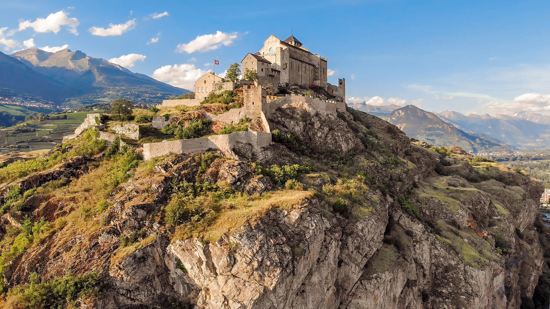
Percorso storico del bisse da Agettes a Veysonnaz
Un percorso pianeggiante e agevole che segue le curve di livello dello storico Bisse de Vex lungo i pendii soleggiati della Valle del Rodano. Costruito nel XV secolo per convogliare l’acqua di disgelo delle montagne verso i vigneti, il sentiero lungo il canale del bisse si snoda attraverso profumati boschi di larici e pini, attraversa ponticelli di legno e si snoda tra radure aperte che offrono viste panoramiche sui castelli storici di Sion e sulle Alpi bernesi. Il percorso presenta una pendenza praticamente nulla, rendendolo adatto a tutte le età e a tutti i livelli di forma fisica.
Caprices Festival, Crans-Montana
Festival electro e pop d'alta quota nelle Alpi vallesane.
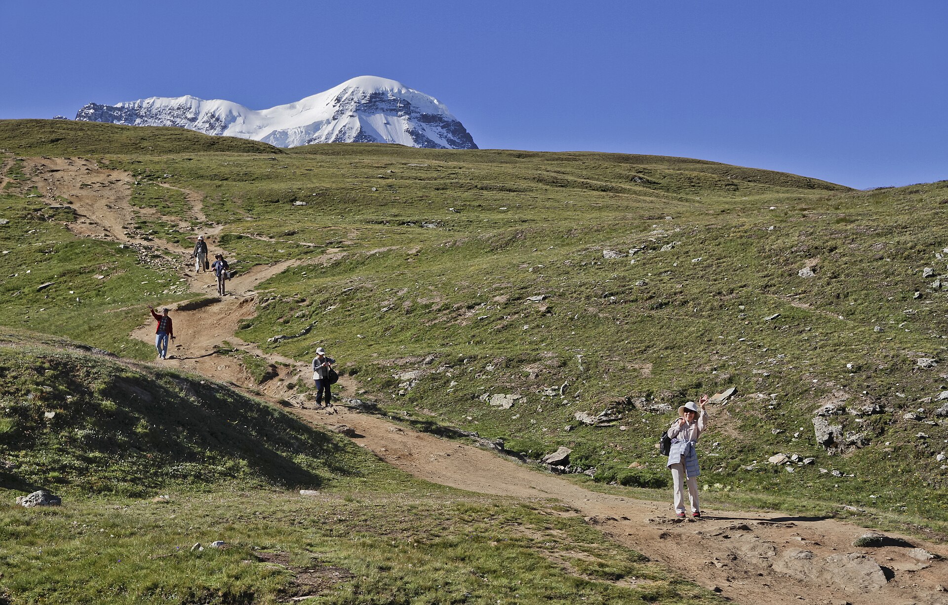
Sentiero dei Cinque Laghi, Zermatt
Una discesa di 10 km adatta alle famiglie tra cinque laghi sopra Zermatt, con il Cervino riflesso nello Stellisee.
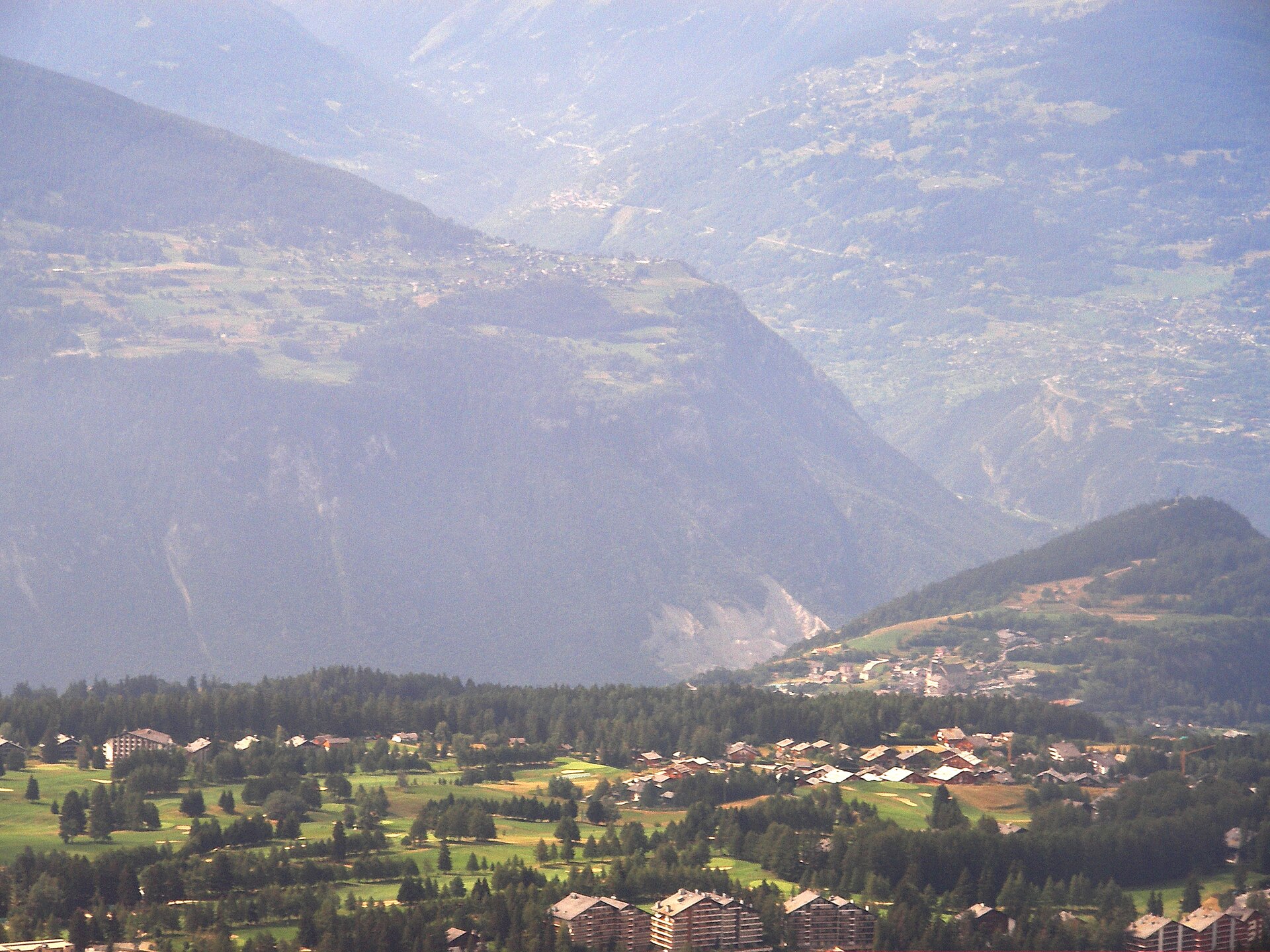
Omega European Masters, Crans-Montana
Golf del DP World Tour sul percorso alpino di Crans-sur-Sierre.
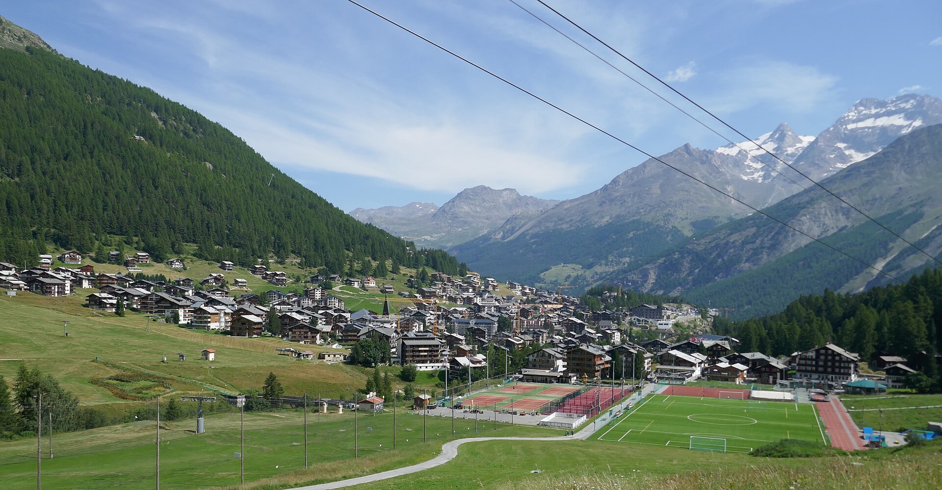 In evidenza
Avvicinamento alle capanne del Mischabel
Un'impegnativa via SAC T6 sopra Saas-Fee, su scale verticali e pioli di ferro fino alla Mischabelhütte a 3340 m.