
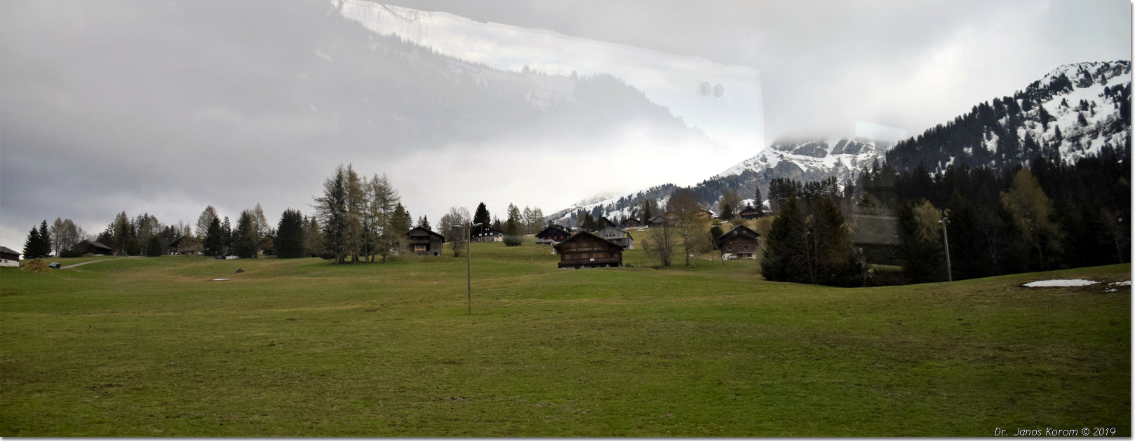
Foto di Chaussy sopra Les Mosses
The Pic Chaussy hike from Col des Mosses via Lac Lioson is a moderate (SAC T2) 7.9 km round-trip trail taking around 3.5 to 4 hours. It climbs approximately 770 meters from Lioson d'en Bas up to the 2,351m summit, offering spectacular views across the Vaud Alps and Lake Geneva. Standing proudly at 2,351 meters above the Col des Mosses, Pic Chaussy is one of the most treasured and recognizable summits in the Vaudois Alps. Passing by the crystal-clear alpine waters of Lac Lioson, the route scales alpine pastures and a dramatic ridge leading to an unforgettable 360-degree panorama encompassing the Mont Blanc range and distant Lake Geneva.
- Distanza
- 7.9 km
- Durata
- 4 h
- Dislivello
- 770 m
- Difficoltà
- Moderata
In sintesi
3/5
5/5
4/5
lug – ott
Percorso
Il percorso, passo dopo passo
- 1
Lioson d'en Bas Car Park
Start from the parking area above Col des Mosses and follow the marked track uphill toward Lac Lioson.
- 2
Lac Lioson Shoreline
Pass the mountain restaurant and skirting the right bank of the lake, follow signs pointing toward 'Pic Chaussy'.
- 3
Steep Alpine Pastures
Climb steadily through zigzagging switchbacks up the open grassy slopes towards the col below the peak.
- 4
Summit Ridge Push
Tackle the short, final rocky ridge section leading directly to the summit cross at 2,351m.
Profilo altimetrico
Scegli la tua versione
Short
Hike only up to Lac Lioson and back, skipping the peak (3.2 km, ~1h 30m).
Classic
Full round trip from Lioson d'en Bas car park to Lac Lioson and Pic Chaussy summit (7.9 km, ~4h).
Extended
Continue across the ridge descending down toward Les Diablerets village (12.5 km, ~5h 30m).
Pianifica la giornata
Come arrivare e logistica
- Partenza
- Take the train to Aigle, then board the scenic TPC PostBus up to Col des Mosses village (approx. 40 minutes), followed by a short walk or local connection to Chemin du Lioson.
- Arrivo
- In auto da Aigle al Col des Mosses, circa 35 minuti.
- Parcheggio
- Drive from Aigle or Château-d'Œx to Col des Mosses, turn onto Chemin du Lioson, and drive up to the Lioson d'en Bas parking lot. Limited parking at Lioson d'en Bas (~15 spaces; arrive early on weekends or park in lower meadows if full).
Prima di partire, controlla
- Arrive early during summer weekends; the small Lioson d'en Bas parking area fills up rapidly.
- Check weather conditions via MeteoSwiss—clear skies are essential to fully enjoy the 360-degree summit views.
- Pack windproof layers for the exposed summit ridge where mountain breezes can be chilly.
- Verify PostBus timetables back toward Aigle if traveling by public transport.
Quanto costa la giornata
- PostBus Fare (Aigle to Col des Mosses): ~CHF 12.00–18.00 return (half-price with Swiss Travel Pass).
- Parking: Small coin fee or free spots in lower meadow overflows.
- Food/Lunch: CHF 25–40 for meals at Restaurant du Lac Lioson.
Piano B se il tempo peggiora
If clouds or rain obscure the high peaks, stop your hike at Lac Lioson, enjoy lunch at the restaurant, and skip the upper summit push.
Buono a sapersi
- Giornata di pioggia
- Visit the Tobogganing Park in nearby Leysin or explore the medieval castle and wine museum in Aigle.
- Con i bambini
- The walk to Lac Lioson is excellent for families; however, the steep upper climb to Pic Chaussy is best suited for older, experienced children.
- Cani
- Allowed on leash; grazing cattle and sheep frequent the pastures around Lac Lioson.
Dormire e riposare
Punti di sosta e rifugi
Les Mosses restaurants
Ci sono ancora alcuni posti liberi al valico.
Summit rocks
Rocce piatte per un picnic.
Aigle cafes
Una selezione di luoghi nella valle.
Dove alloggiare
Budget – Youth Hostel Montreux
Un ostello con vista sul lago.
Mid-range – Hotel Masson
Un hotel tradizionale vicino al castello di Chillon.
Upscale – Fairmont Le Montreux Palace
Un grand hotel sul lago.
Potremmo ricevere una commissione sulle prenotazioni effettuate tramite questo link.
Attrezzatura
Attrezzatura essenziale
Per questa escursione
- Sturdy boots
- Warm layers
- Sun cream
- Poles
- Water and snacks
Sempre
- Sturdy hiking shoes with real tread (trainers only on the flattest routes)
- Water, at least 1 to 1.5 litres per person, more in summer
- Rain shell and one warm layer, even on a sunny morning
- Sun cream, hat and sunglasses (UV rises about 10% per 1,000 m)
- Snacks or a picnic and some cash in coins and small notes
- Phone with offline map (SwissTopo or Komoot), power bank, ID
- Small first-aid kit: plasters, blister tape, painkillers
Approfondimenti
La storia
Pic Chaussy commands a strategic panoramic position between the Ormont valley and the Pays-d'Enhaut. Historically grazed by local Vaudois herds, the alpine basin surrounding Lac Lioson ('the pearl of the alpine lakes') is renowned for its crystalline mountain waters and traditional summer cheese-making chalets.
Da assaggiare
Stop at the Restaurant du Lac Lioson right on the lake's shore for a plate of traditional Swiss fondue or local alpine tart after conquering the summit ridge.
Note sul percorso
Il Pic Chaussy è una vetta appuntita che sovrasta il Col des Mosses, con una lunga cresta che conduce alla cima. Dalla cima si possono ammirare le Alpi vodesi, la catena del Monte Bianco e, nelle giornate limpide, il Lago di Ginevra in lontananza. Il sentiero sale dal passo attraverso i pascoli e poi lungo una cresta ripida fino alla vetta. Il percorso è costante ma faticoso nella parte finale. È indispensabile che la giornata sia serena. SAC T2: T2 Escursionismo in montagna: a tratti ripido, è necessario avere passo sicuro
Escursioni nelle vicinanze
- Il lago Lioson da Les Mosses – Les Mosses, VD
- Chasseron da Les Rasses – Sainte-Croix, VD
- Chaumont e il sentiero della foresta di Neuchâtel – Neuchâtel, NE
Esperienze vicino a questa escursione
Potremmo ricevere una commissione sulle prenotazioni effettuate tramite questo link.
 Sponsorizzatoda CHF 129Sponsorizzatoda CHF 109
Altre attività nei dintorni
Potremmo ricevere una commissione sulle prenotazioni effettuate tramite questo link.
Scopri le esperienze su GetYourGuideLo sapevi?
Charlie Chaplin's body was stolen from his grave in Corsier-sur-Vevey in 1978 by two mechanics who demanded a ransom.
Scienza e invenzioniVelcro was invented by Swiss engineer George de Mestral after he noticed burrs sticking to his dog's fur.
Geografia e naturaThe Alps cover ~60% of the country.
Potrebbe interessarti anche
 Sponsorizzato
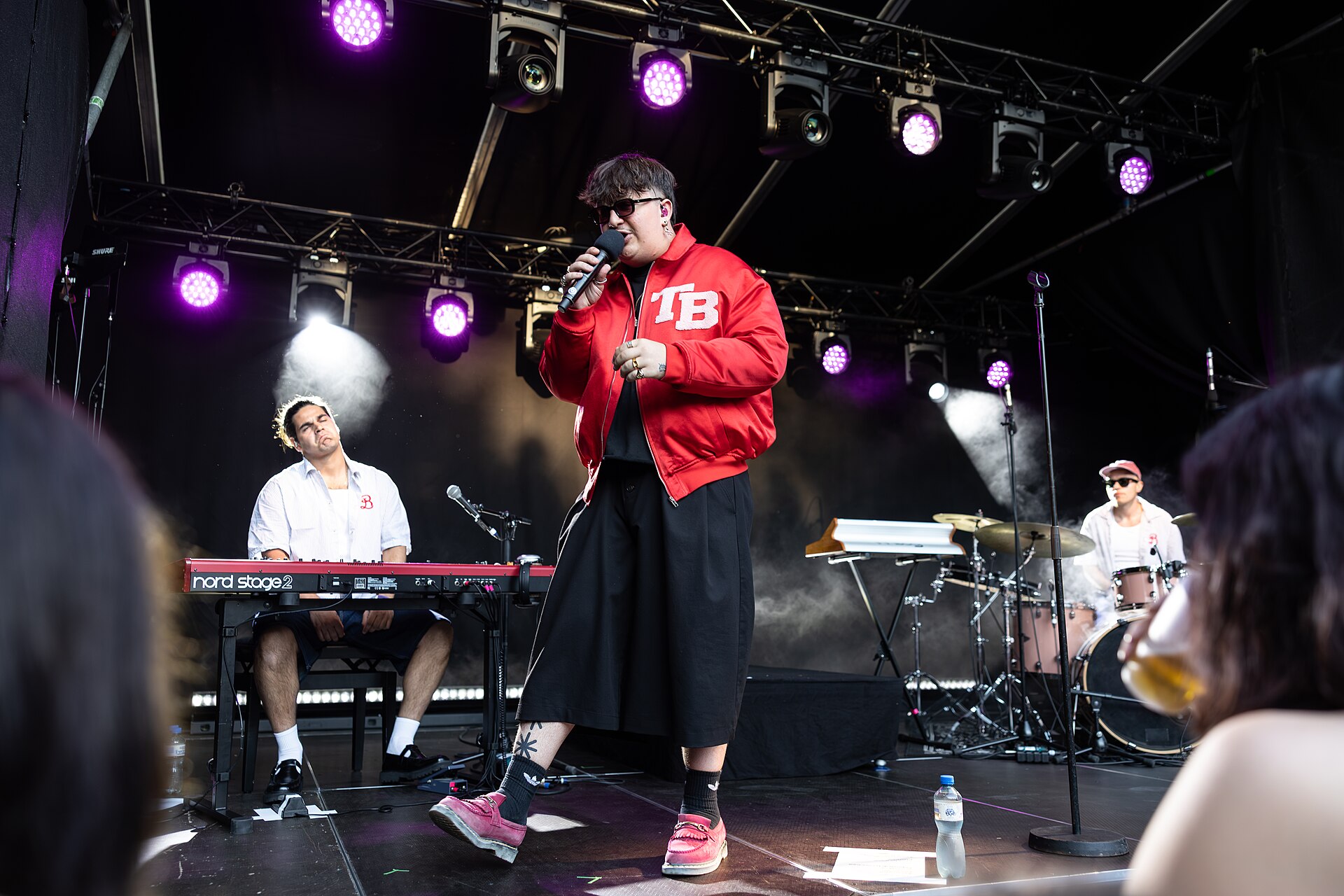
Montreux Jazz Festival
Un leggendario festival musicale sul Lago Lemano.
Potremmo ricevere una commissione sulle prenotazioni effettuate tramite questo link.
Sentiero dal Castello di Aigle ai vigneti
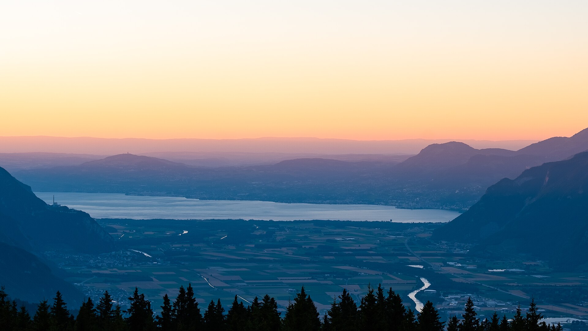
Una passeggiata panoramica e ricca di cultura che si snoda tra gli storici vigneti terrazzati dello Chablais, che circondano il castello medievale di Aigle (Château d'Aigle). Risalente al XII secolo, il castello domina ettari di vigneti di Chasselas, con alle spalle le spettacolari cime calcaree delle Alpi vodesi e della Valle del Rodano. Il percorso si snoda lungo sentieri di paese lastricati, tranquilli viottoli tra i vigneti e sentieri sterrati in leggera pendenza, rendendolo ideale per gli appassionati di enogastronomia e storia alla ricerca di una rilassante gita di un giorno.
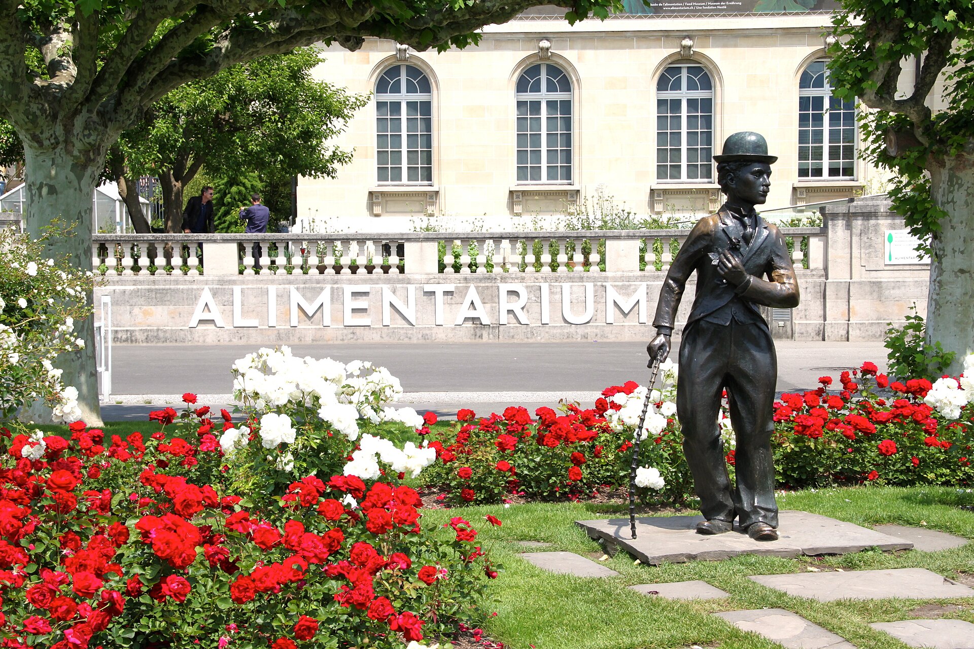
Festival Internazionale degli Artisti di Strada di Vevey 2027
Vivace festival di strada che anima il centro storico di Vevey con acrobati, mimi e giocolieri lungo il lago.
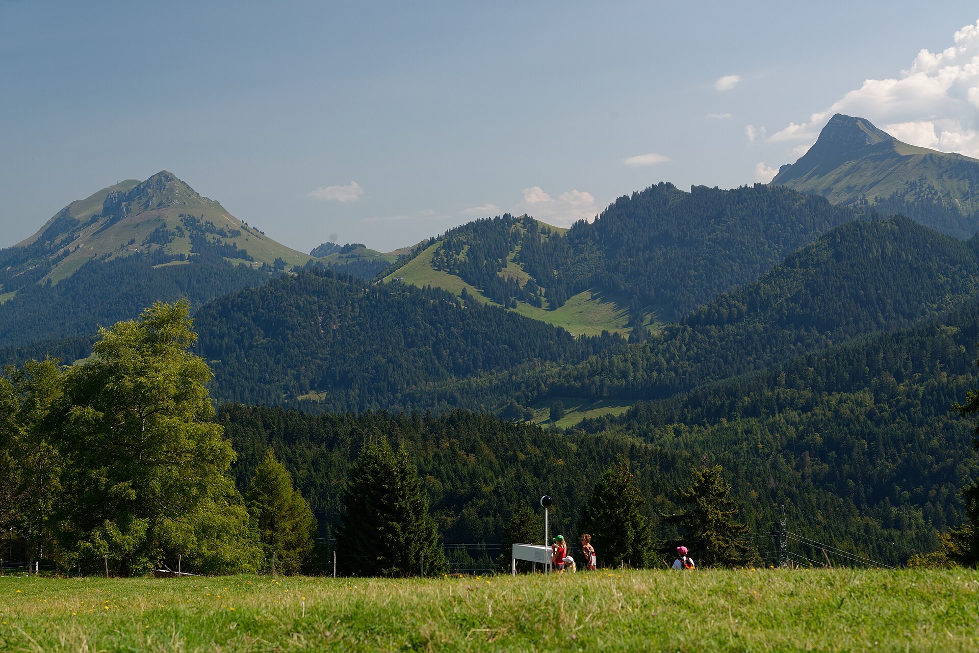
Sentiero panoramico da Brenta a Les Pléiades
Un magnifico sentiero di crinale prealpino, baciato dal sole, che collega il pittoresco villaggio collinare di Brent (sopra Montreux) con l’altopiano panoramico di Les Pléiades. Serpeggiando tra prati fioriti di narcisi, profumate pinete e ondulati pascoli da latte, il sentiero offre panorami mozzafiato e sconfinati che si affacciano sul Lago di Ginevra (Lac Léman) verso le Alpi francesi e le imponenti vette del Vallese.
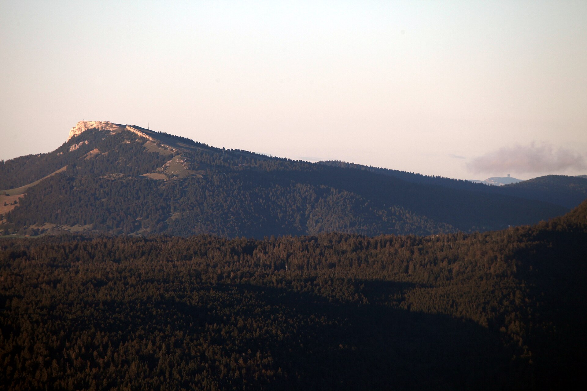
Chasseron da Les Rasses
Una vetta del Giura con un panorama mozzafiato e un paesino dove si producono carillon.
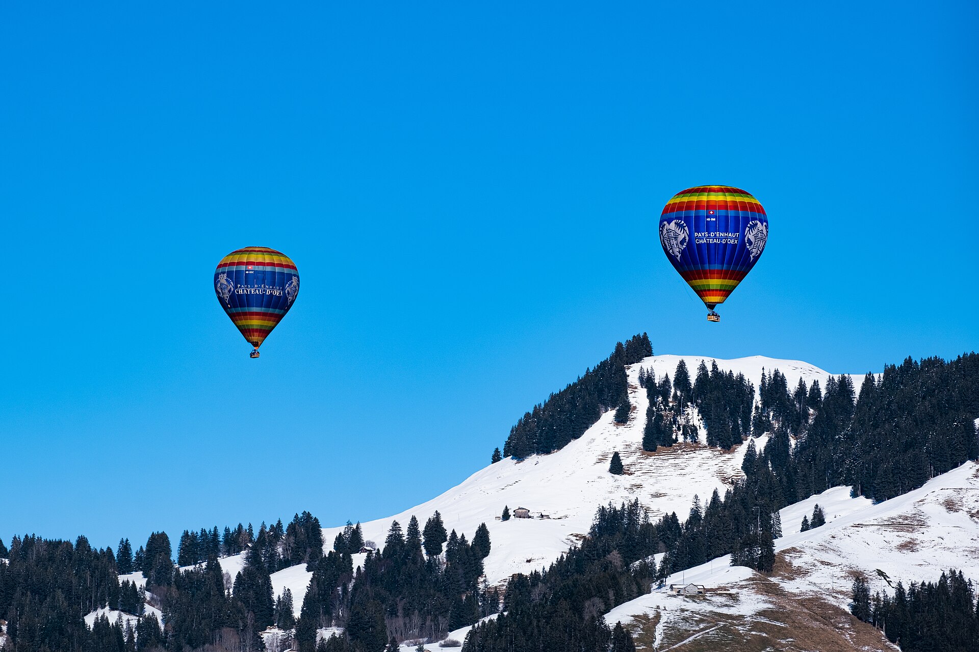
Festival Internazionale delle Mongolfiere di Château-d'Œx 2027
Raduno alpino di nove giorni di mongolfiere con spettacolo notturno e piloti internazionali nelle Alpi vaudoise.