
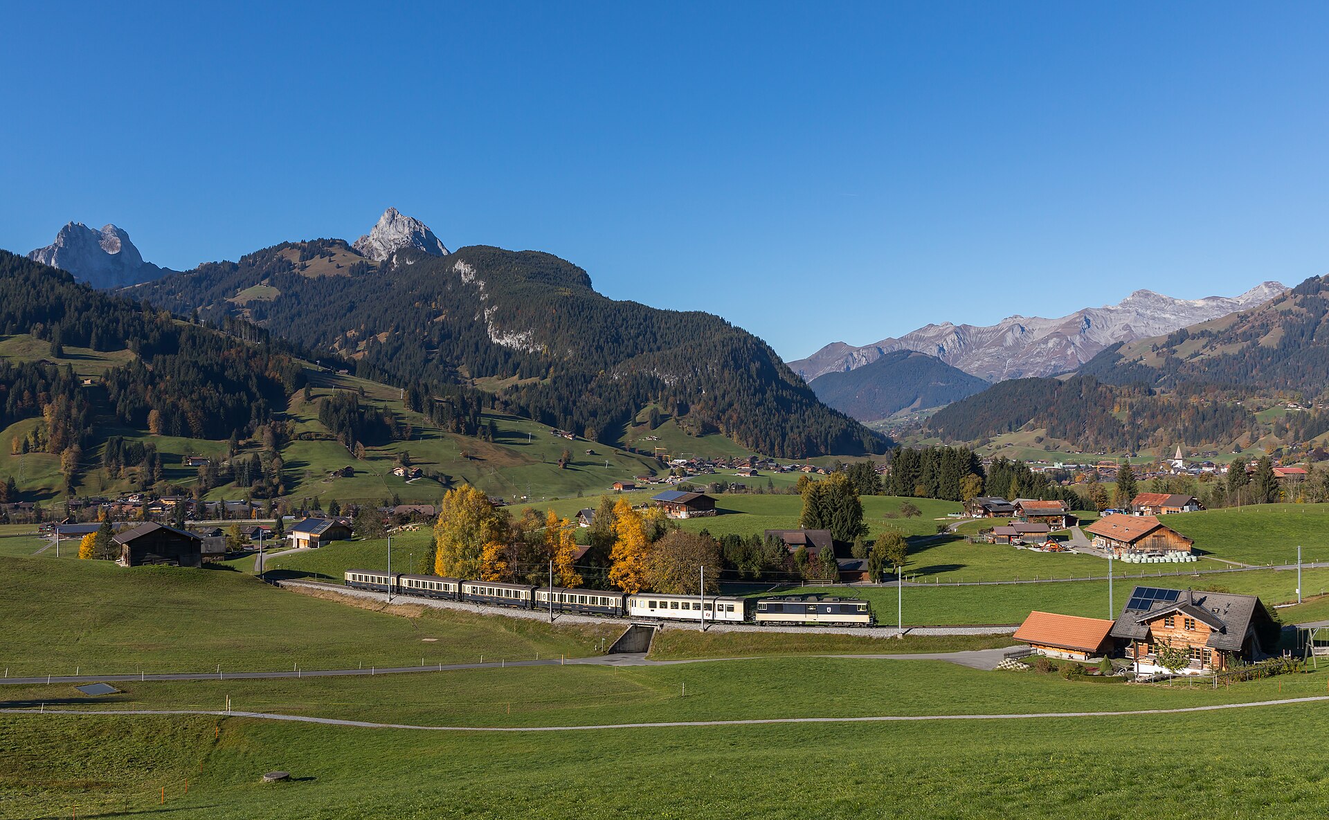
Barrhorn Alpine Ascent
The Üssers Barrhorn ascent is a challenging (SAC T3) 18.5 km round-trip high-altitude hike starting from Vorder Sänntum in the Turtmann Valley. It climbs ~1,710 meters to reach 3,610m—the highest marked hiking summit in the Alps. Plan for 7 to 8 hours of total moving time. Rising majestically to 3,610 meters, the Üssers Barrhorn holds the prestigious title of the highest officially marked hiking peak in the Alps that requires no technical mountaineering gear. Starting from the remote Turtmann Valley, the trail passes the Swiss Alpine Club Turtmann hut before ascending through high-altitude scree fields to a breathtaking panorama of forty-thousand-meter Valais giants.
- Distance
- 18.5 km
- Duration
- 8.5 h
- Ascent
- 1'710 m
- Difficulty
- Hard
At a glance
5/5
5/5
1/5
Jul – Sep
Safety warning
High-altitude oxygen hazard. At 3,610 metres, hypoxia and Acute Mountain Sickness (AMS) are realistic dangers, so acclimatise and sleep high at the hut before the summit push. Though the route is non-glacial, the Gässi couloir requires sure footing over rock steps secured by fixed steel cables.
Route
The route, step by step
- 1
Vorder Sänntum to Stausee
Start at the Sänntum parking lot (1,903m) and follow the flat valley floor past the Turtmann artificial reservoir lake.
- 2
Turtmann Hut (Turtmannhütte)
Climb up to the SAC Turtmann Hut at 2,519m via either the gorge path or the scenic Holustei route.
- 3
Gässi Pass & High Valley
Scramble up the short secured rocky step of Gässi Pass using fixed cables, then ascend the broad high-altitude stone valley.
- 4
Barrhorn Summit Push
Tackle the final steep scree ridge to reach the summit cross at 3,610m, taking in 360-degree views of Mont Blanc, Monte Rosa, and the Weisshorn.
Elevation profile
Choose your version
Short
Break the climb into two days by staying overnight at Turtmann Hut (Day 1: 2h, Day 2: 5-6h round trip to summit).
Classic
Full single-day alpine push from Vorder Sänntum parking up to the 3,610m summit and back (18.5 km, ~8h).
Extended
Add a quick 2 km ridge detour to the neighboring Schöllihorn peak (3,499m) for enhanced glacier backdrops.
Plan your day
Getting there & logistics
- Start
- Extremely limited public transport up the Turtmann valley; private car or taxi from Turtmann village to Vorder Sänntum is strongly recommended.
- Finish
- Return the way you came to Gruben, or take the traverse option down into the Mattertal and finish at St. Niklaus railway station for the train home.
- Parking
- Drive past Turtmann town up into the Turtmanntal dead-end road to the designated parking lot at Vorder Sänntum. Paid parking at Vorder Sänntum (~CHF 4.00–5.00 for 12 hours; bring coins/cash as mobile signal is absent).
Before you leave, check
- Start before sunrise (05:00–06:00) to ensure you reach the summit and descend safely before afternoon thunderstorms build.
- Bring physical Swiss francs (cash) for parking and hut purchases; mobile network coverage is dead throughout most of the valley.
- Monitor high-altitude acclimatization—thin air above 3,000m noticeably impacts physical stamina.
- Pack a windproof jacket, gloves, and a beanie, as summit temperatures often hover near freezing even in mid-summer.
What this day costs
- Vorder Sänntum Parking: ~CHF 5.00 flat rate.
- Turtmann Hut Overnight (Half-board approx. CHF 83.00 if staying overnight).
- Food/Hydration: Self-cater energy snacks or purchase meals at the Turtmann Hut.
Plan B if the weather turns
If weather deteriorates or altitude sickness sets in near the hut, turn around early or abort the summit push at the Gässi Pass and enjoy lunch at Turtmann Hut.
Good to know
- Rainy day
- Do not attempt; high-altitude snow, lightning risk, and slippery scree make bad weather extremely hazardous.
- With kids
- Strictly restricted to very experienced, high-altitude-conditioned teenagers due to extreme physical demands.
- Dogs
- Allowed on leash, though sharp shale scree near the summit can damage paw pads.
Stay & rest
Rest options & mountain huts
Turtmannhütte SAC (2'519 m)
Strategic base camp for the summit push, with outstanding food, clean facilities and views over the Turtmann Glacier. Reservations are mandatory.
Anunciahütte (2'350 m)
A quiet alternative hut across the valley, useful for round-trip variants of the ascent.
Where to stay
Budget – Turtmannhütte SAC (from CHF 82)
High mountain hut and strategic base camp for the summit push, with half-board dormitory beds from around CHF 82 per night. Reservations are mandatory.
Mid-range – Hotel Schwarzhorn Gruben (from CHF 130)
An authentic 19th-century alpine inn down in the valley at Gruben, from around CHF 130 per night.
Upper tier – Relais & Châteaux Le Grand Chalet (from CHF 380)
A Relais & Châteaux address in the nearby Sierre valley for a luxury recovery stay, from around CHF 380 per night.
We may earn a commission from bookings made through this link.
Gear
Essential trail gear
- Microspikes or light crampons: early-summer snowfields linger in the upper scree basin.
- Thermal down jacket and gloves: temperatures at 3,600 metres regularly drop below freezing even in July and August.
- UV 4 sunglasses and sunblock: the radiation index is very high above the tree line.
Background
The story
The Turtmanntal is one of the wildest, least commercialized dead-end valleys in the Valais Alps, contrasting sharply with the neighboring busy Mattertal. Conquering the Barrhorn places you on a sweeping limestone and shale pyramid surrounded by the Bishorn, Weisshorn, and Brunegghorn, offering a true high-mountain expedition feel without glacial crevasse risks.
Taste it
Stop at the SAC Turtmannhütte (2,519m) on your descent for a bowl of steaming homemade goulash soup or a legendary slice of Black Forest cake.
Route notes
Treat the Barrhorn as a two-day high mountain tour rather than a day hike. Travel light up the Turtmanntal from Gruben, settle into the Turtmannhütte SAC at 2,519 metres on day one, and begin the summit push around 05:30 the next morning to catch the alpine sunrise over the Valais 4,000-metre giants. Above the hut the route crosses scree basins that often hold old snow, then tackles the cable-secured rock steps of the Gässi couloir before the final walk to the top. A community favourite is to link Üssers Barrhorn (3,610 m) with Inneres Barrhorn (3,583 m) for a double-summit day. Pace yourself against the altitude, drink and eat steadily, and only commit with a settled forecast, because at 3,600 metres the weather and the thin air leave little margin for error.
Nearby hikes
- Allalinhorn Summit Trail (Saas-Fee) – Saas Valley, VS
- Bettmerhorn Ridge & Aletsch Glacier View Trail – Aletsch Arena, VS
- Mürren to Schilthorn Ridge Trail – Lauterbrunnen Valley / Jungfrau Region, BE
Where to stay nearby
- Alpine Retreat, Zermatt – Zermatt, VS
Experiences near this hike
We may earn a commission from bookings made through this link.
 Sponsoredfrom CHF 99Sponsoredfrom CHF 120Sponsoredfrom CHF 95
More things to do nearby
We may earn a commission from bookings made through this link.
Browse experiences on GetYourGuideDid you know?
Jungfraujoch is Europe's highest railway station (3,454 m).
Politics & HistoryJ.R.R. Tolkien's 1911 walking tour of Switzerland heavily influenced the landscapes of The Lord of the Rings.
Geography & NatureGrande Dixence is the world's tallest gravity dam (285 m) and holds 400 million m³.
You might also like
 Sponsored
Alpine Retreat, Zermatt
A design mountain lodge with Matterhorn views.
We may earn a commission from bookings made through this link.
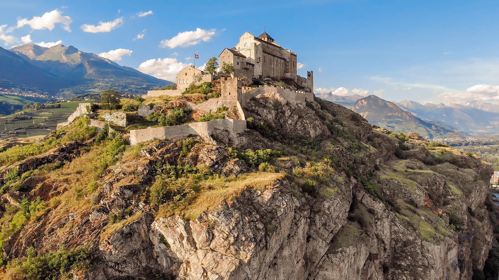
Agettes to Veysonnaz Historic Bisse Walk
A flat, gentle walking route following the contour lines of the historic Bisse de Vex along the sunny slopes of the Rhône Valley. Constructed in the 15th century to carry mountain meltwater to agricultural vineyards, the bisse canal path leads through fragrant larch and pine forests, across wooden footbridges, and past open clearings offering panoramic vistas toward Sion's historic castles and the Bernese Alps. The trail features practically zero incline, making it suitable for all ages and fitness levels.
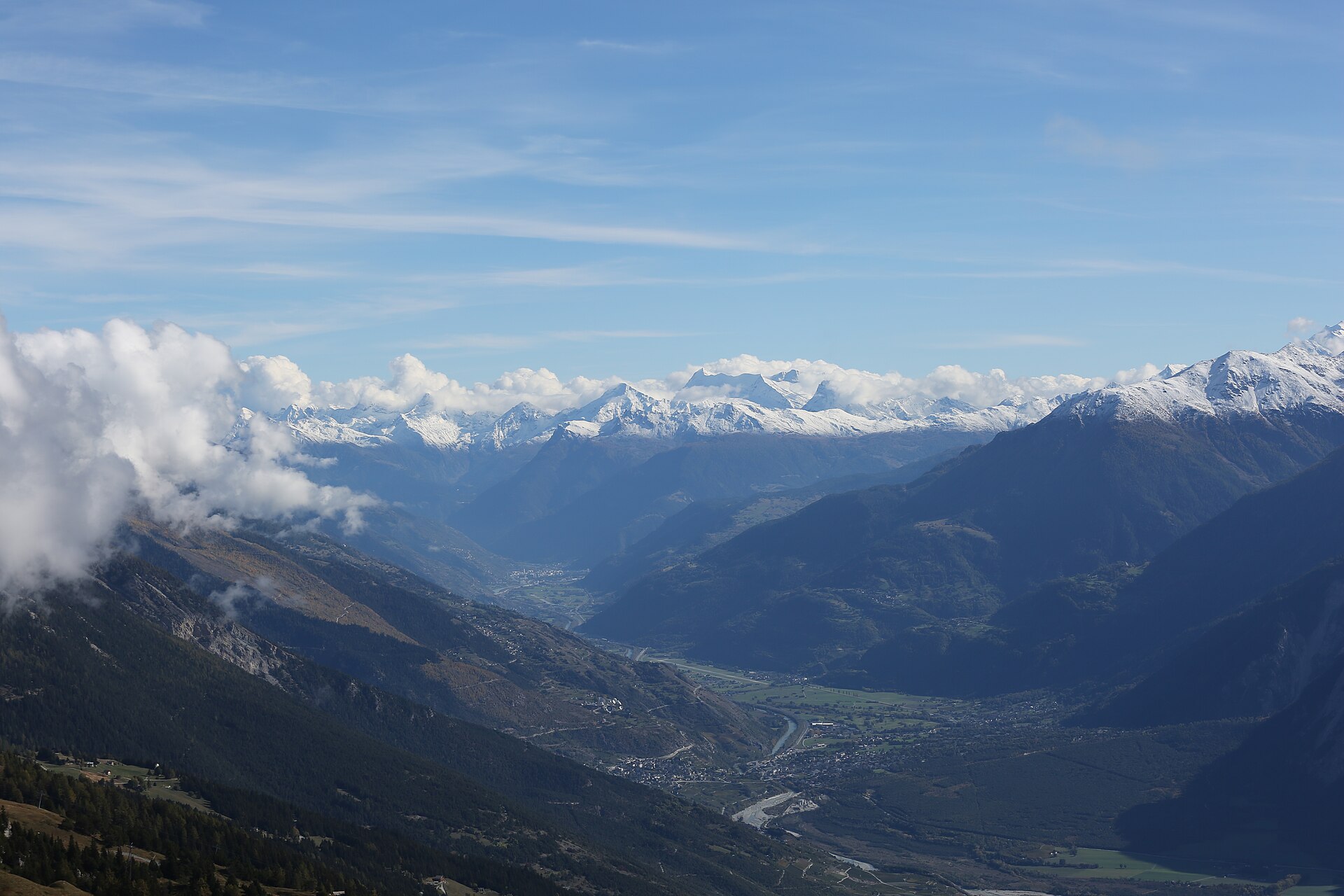
Caprices Festival, Crans-Montana
High-altitude electronic and pop festival in the Valais Alps.
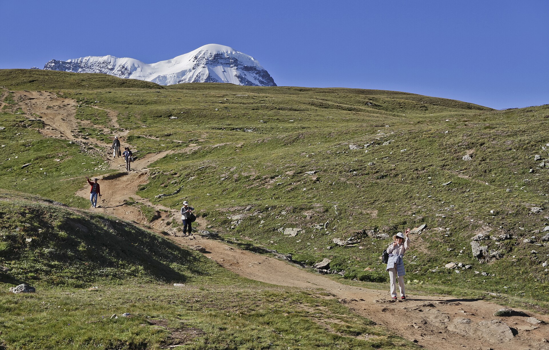
Five Lakes Walk, Zermatt
A 10 km family-friendly descent past five lakes above Zermatt, with the Matterhorn mirrored in the Stellisee.
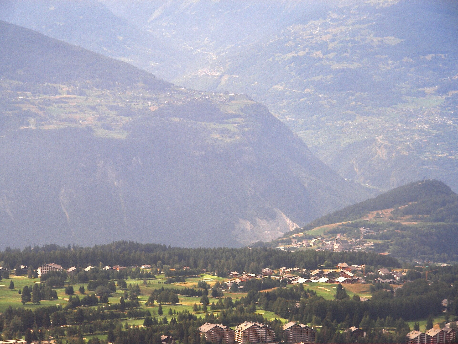
Omega European Masters, Crans-Montana
DP World Tour golf on the alpine Crans-sur-Sierre course.
 Featured
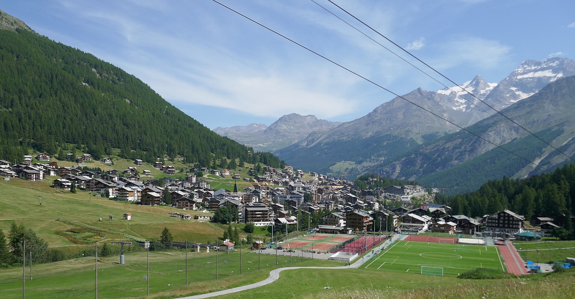
Mischabel Huts Approach
An extreme SAC T6 scramble above Saas-Fee up vertical ladders and iron rungs to the Mischabelhütte at 3,340 m.