
 Featured
Hike
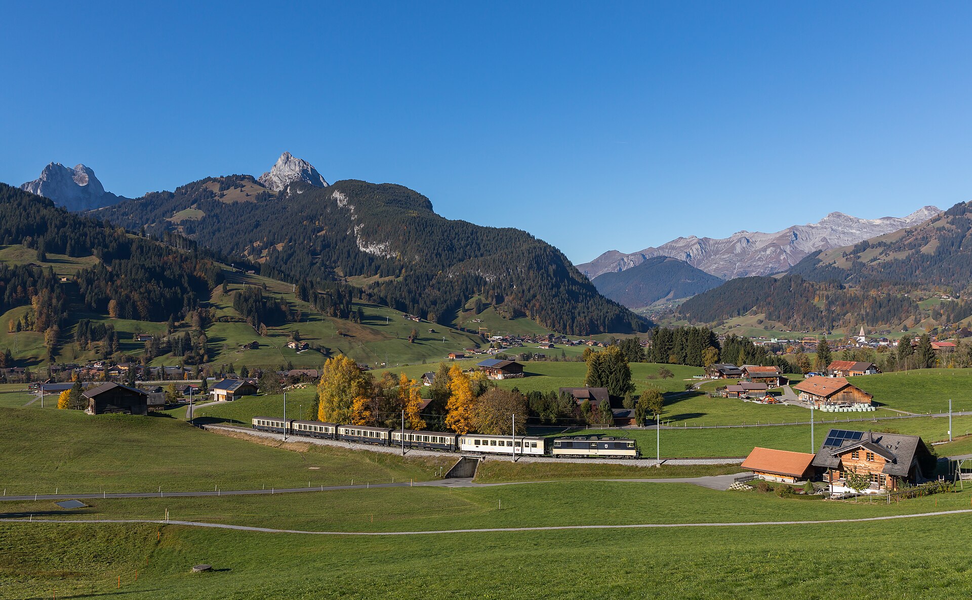
Barrhorn Alpine Ascent
Conquer Europe's highest officially marked hiking summit without ropes or glaciers.
Gruben, VS
View details Switzerland's finest trails and panoramas
Browse every curated hike on the map. Filter by difficulty or search by name and region, then open the full master guide.
FeaturedConquer Europe's highest officially marked hiking summit without ropes or glaciers.
 Featured
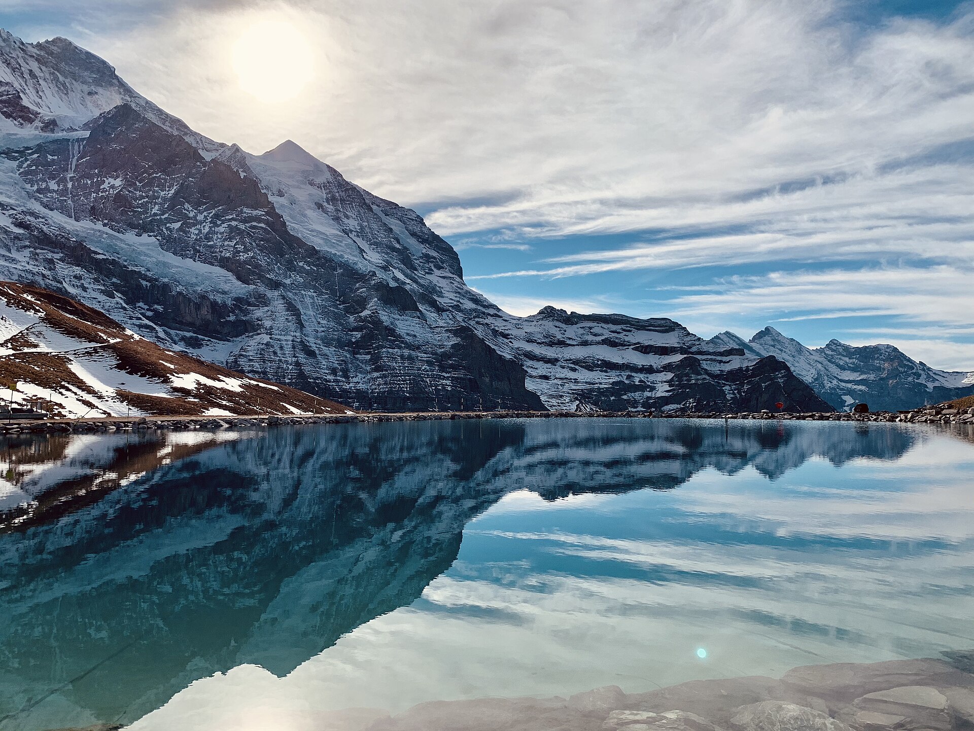
A world-famous alpine traverse running directly along the base of the iconic Eiger North Face (Nordwand). Starting at the Eigergletscher station (2,320 m), the downhill trail tracks beneath the staggering 1,800-meter sheer limestone wall where legendary mountaineering history was written. The route offers unobstructed views over the Grindelwald valley, the Grosse Scheidegg pass, and the jagged Wetterhorn and Schreckhorn peaks.
 Featured
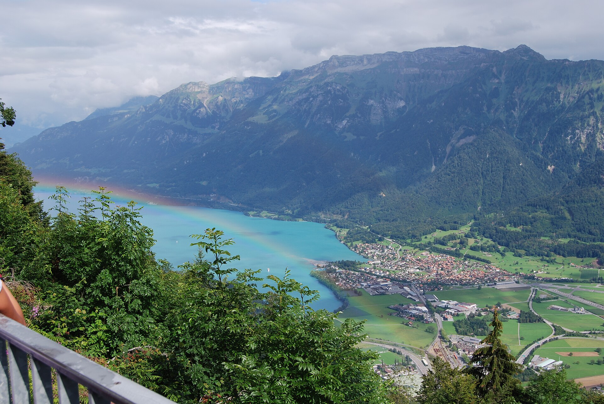
Switzerland's most famous and thrilling knife-edge alpine ridge traverse.
 Featured
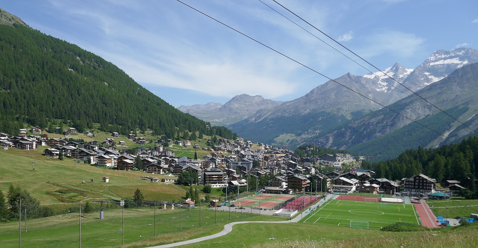
An extreme SAC T6 scramble above Saas-Fee up vertical ladders and iron rungs to the Mischabelhütte at 3,340 m.
 Featured
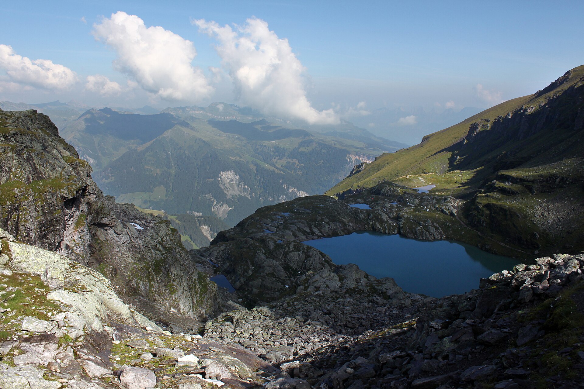
A classic 9.5 km high loop past five mountain lakes and the vanished Pizol glacier above Wangs.
 Featured
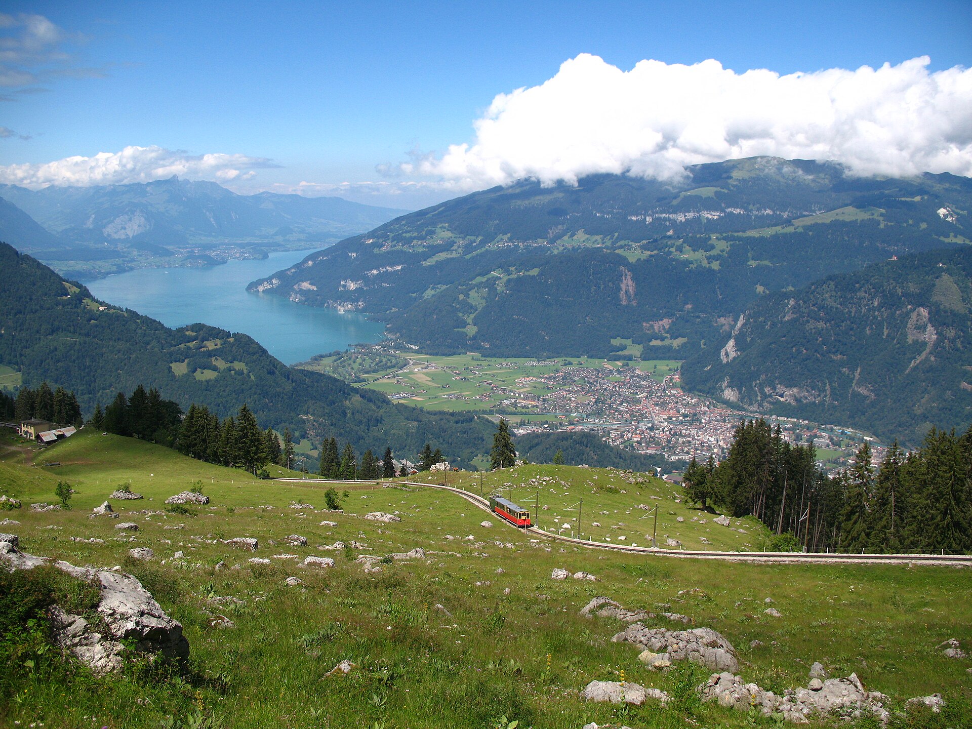
A short, easy 5 km ridge loop reached by a wooden cogwheel train, facing the Eiger, Mönch and Jungfrau.
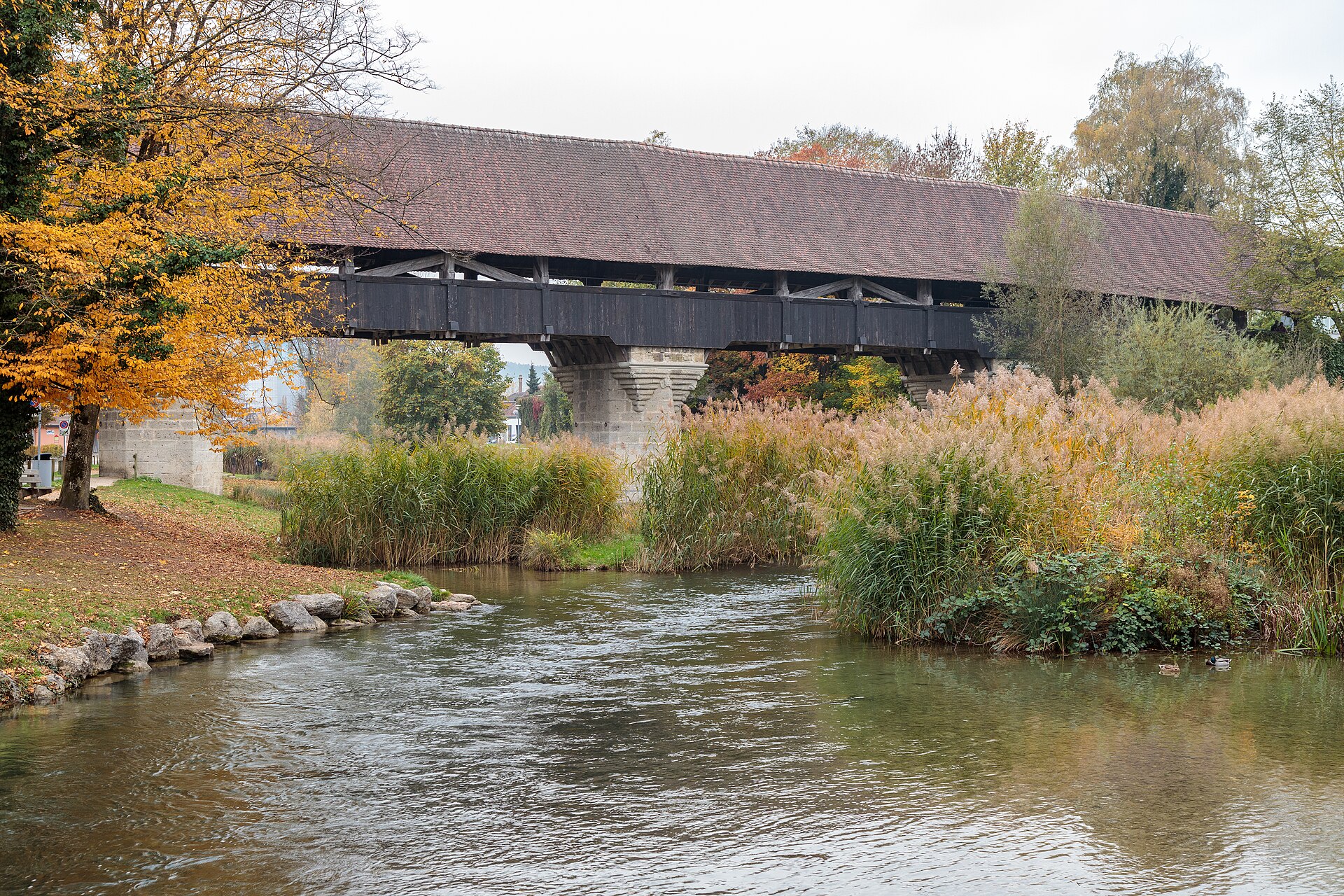
A town on an island with a covered wooden bridge, and a canal path through farmland.
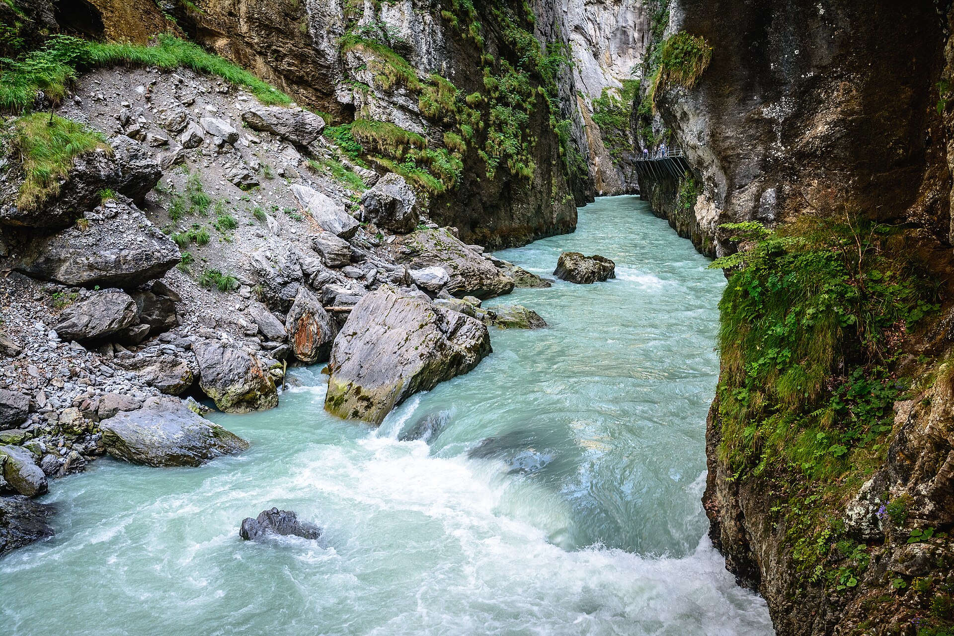
A narrow limestone gorge with a walkway cut into the cliff.
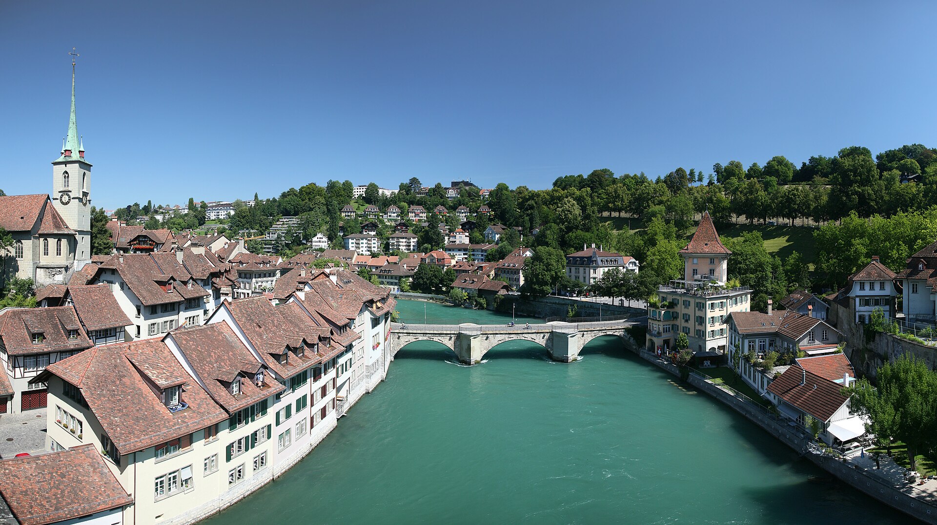
A river walk through the capital, with a swim stop if you dare.
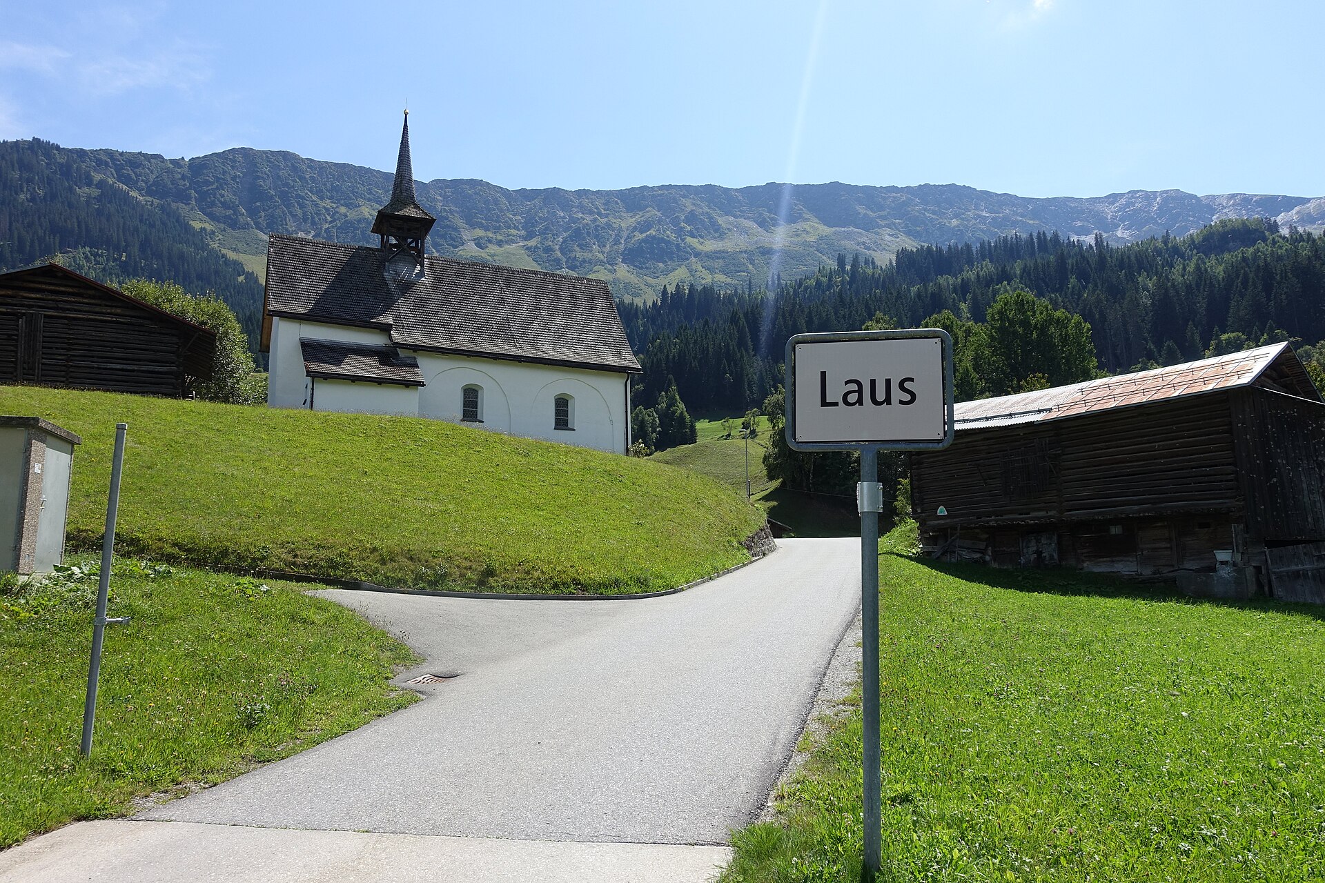
A serene and unspoiled mountain valley walk following the rushing waters of the Rein da Medel river through Val Medel. Starting near the quiet hamlet of Acla, the path leads past traditional Walser-style wooden barns, wild pine forests, and alpine pastures under the gaze of the Medel Glacier massif. The route combines historic mule-track sections with smooth gravel paths, providing an authentic Graubünden alpine experience far from big tourism crowds.
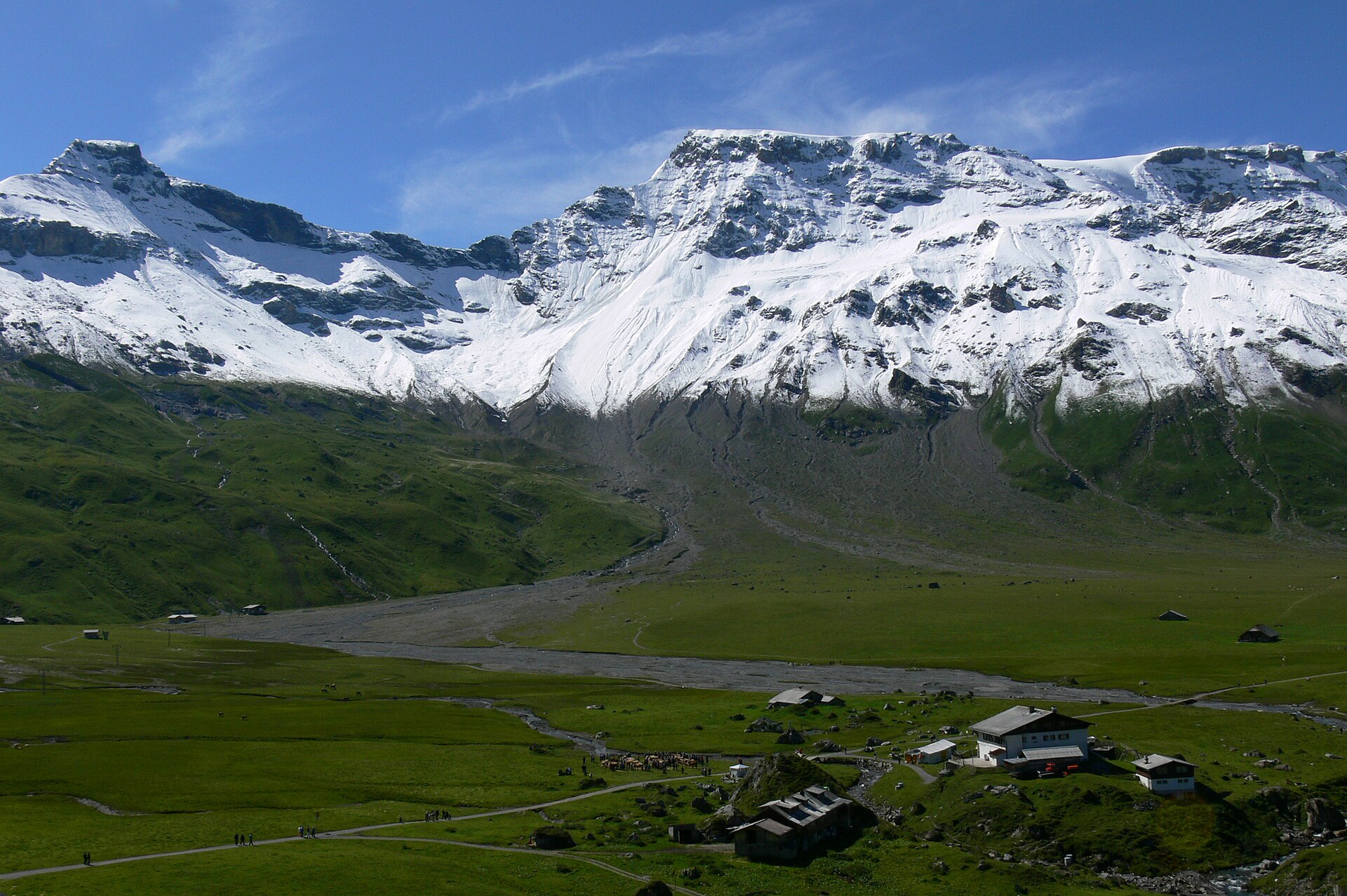
A vibrant, family-friendly high-altitude botanical walk running along the sunny ridges above Adelboden. The trail connects the mountain stations of Höchst and Sillerenbühl, winding through open alpine meadows renowned for having over 80 species of wild native flowers, including gentians, edelweiss, alpine roses, and mountain orchids. Interactive informational panels line the path, offering sweeping 360-degree views of the Wildstrubel massif and Engstligen Falls.
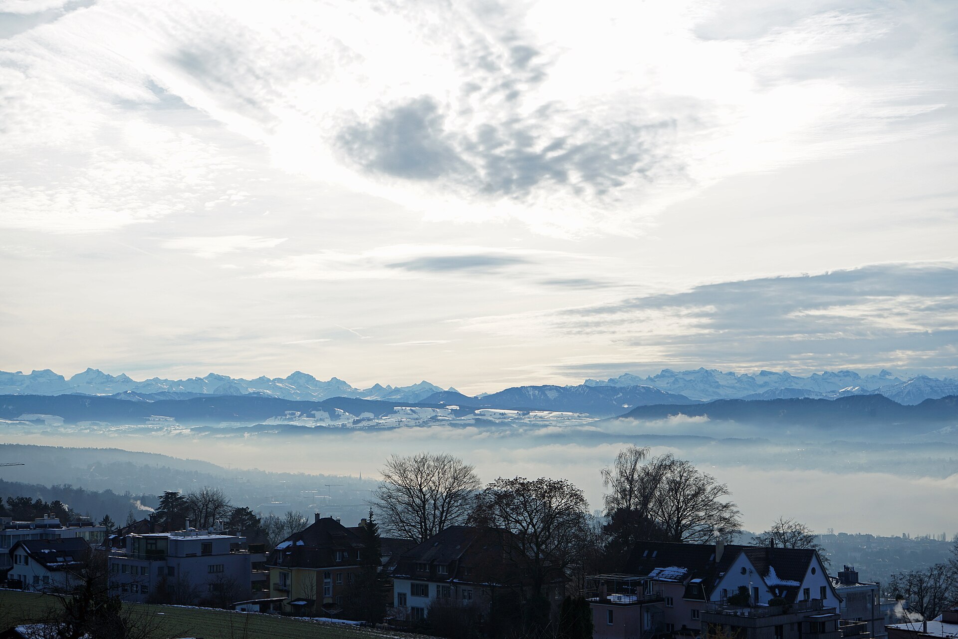
Forest paths above the city, with a zoo, a tower and a view over the lake.
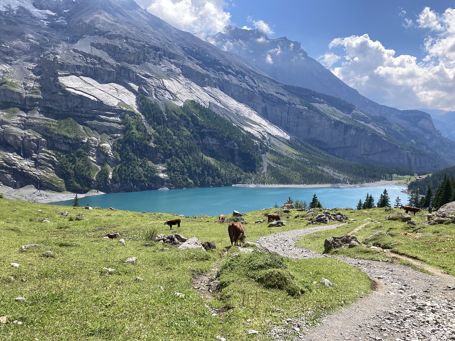
A spectacular alpine traverse offering an alternative, higher approach toward world-famous Lake Oeschinen (Oeschinensee). Starting from the quiet Aebi high valley, the trail winds through pine forests, across mountain streams, and along balcony paths before delivering breathtaking, elevated panoramas of the turquoise lake framed by the vertical rock walls of the Blüemlisalp massif. The path consists of well-maintained mountain trails with moderate inclines and secure footing throughout.
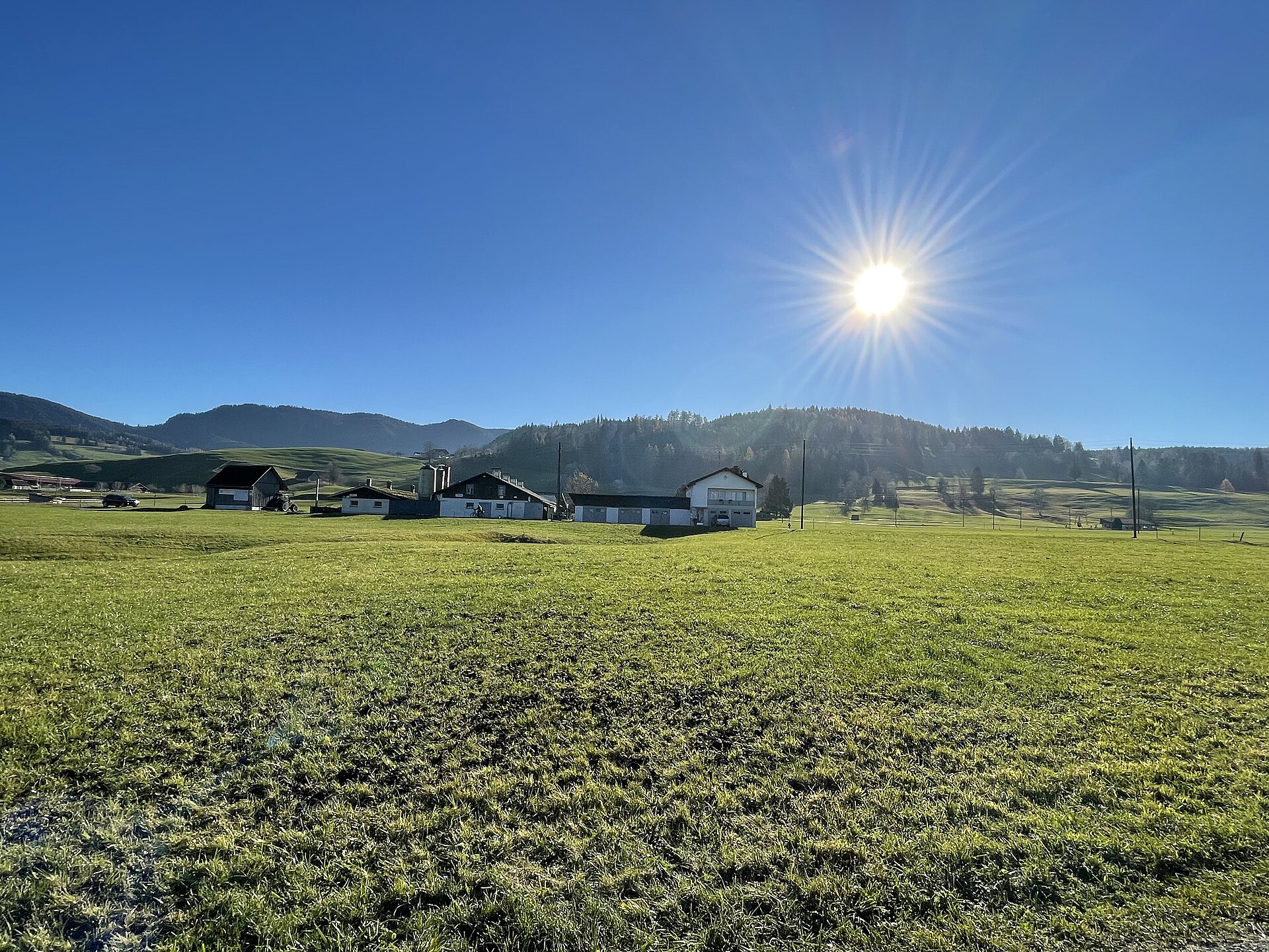
A calm lake in a high valley, with a flat shore path between two villages.
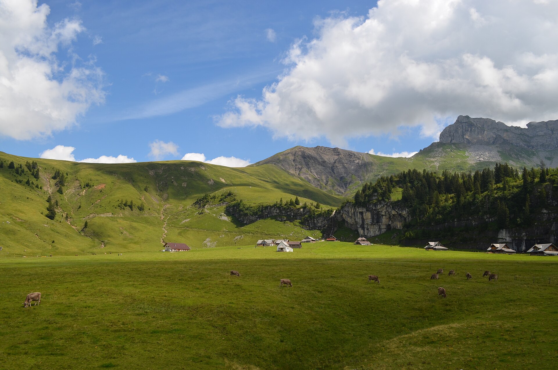
A fascinating pilgrimage hike leading to the official geographical center of Switzerland (Älggi Alp), marked by a monumental stone triangulation pillar. Starting from Chlisterli near Sachseln or Flüeli-Ranft, the trail climbs gently through shaded pine forests, flowering alpine meadows, and limestone karst terraces. Alongside the geographic marker, hikers are rewarded with sweeping 360-degree panoramas spanning from Lake Lucerne to the towering peaks of Titlis and the Bernese Alps.
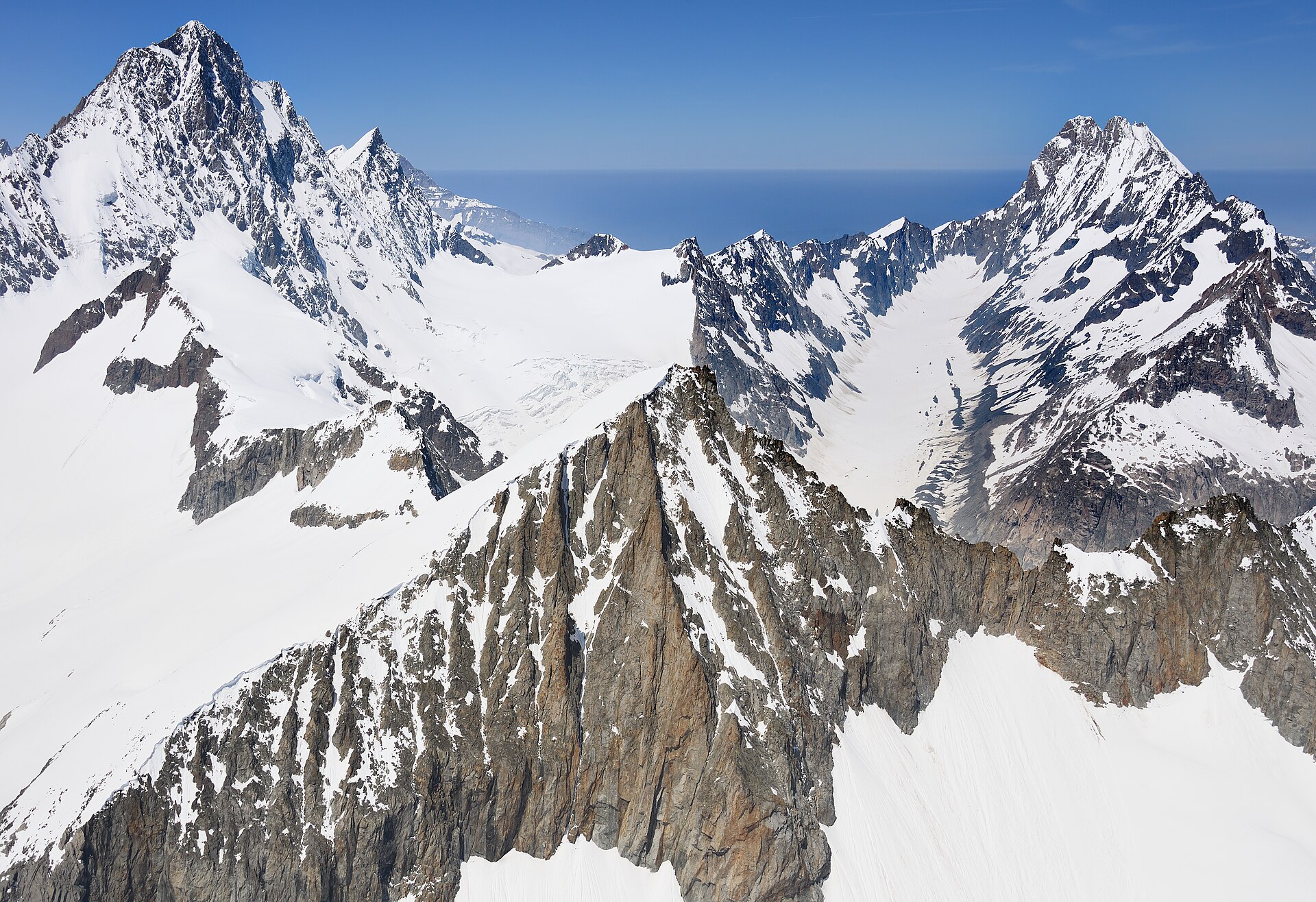
A dramatic high-alpine mountain traverse high above the Leukerbad thermal resort basin, linking Äugststafel with the historic Gemmipass hotel and cable car station. The trail tracks along high limestone cliffs and grassy slopes offering jaw-dropping panoramic views across the Valais Alps, including the towering peaks of the Weisshorn and Mischabel group. This classic route bridges Bernese and Valaisian alpine landscapes with secure, well-maintained paths.
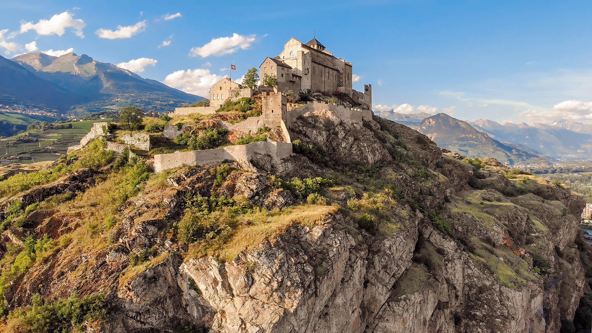
A flat, gentle walking route following the contour lines of the historic Bisse de Vex along the sunny slopes of the Rhône Valley. Constructed in the 15th century to carry mountain meltwater to agricultural vineyards, the bisse canal path leads through fragrant larch and pine forests, across wooden footbridges, and past open clearings offering panoramic vistas toward Sion's historic castles and the Bernese Alps. The trail features practically zero incline, making it suitable for all ages and fitness levels.
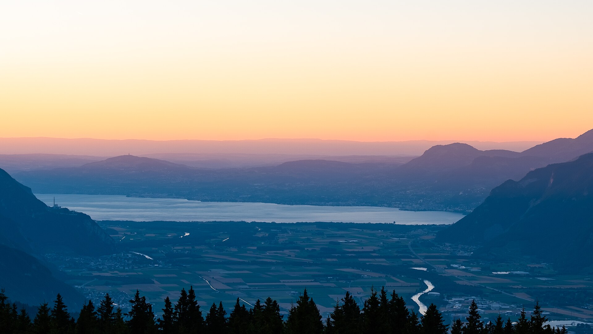
A scenic, culture-filled walk winding through the historic terraced vineyards of Chablais surrounding medieval Aigle Castle (Château d'Aigle). Originating in the 12th century, the castle towers over acres of Chasselas vines backed by the dramatic limestone peaks of the Vaud Alps and Rhone Valley. The trail uses cobblestone village paths, quiet vineyard lanes, and low-gradient earth tracks, making it ideal for food, wine, and history enthusiasts seeking a relaxed day outing.
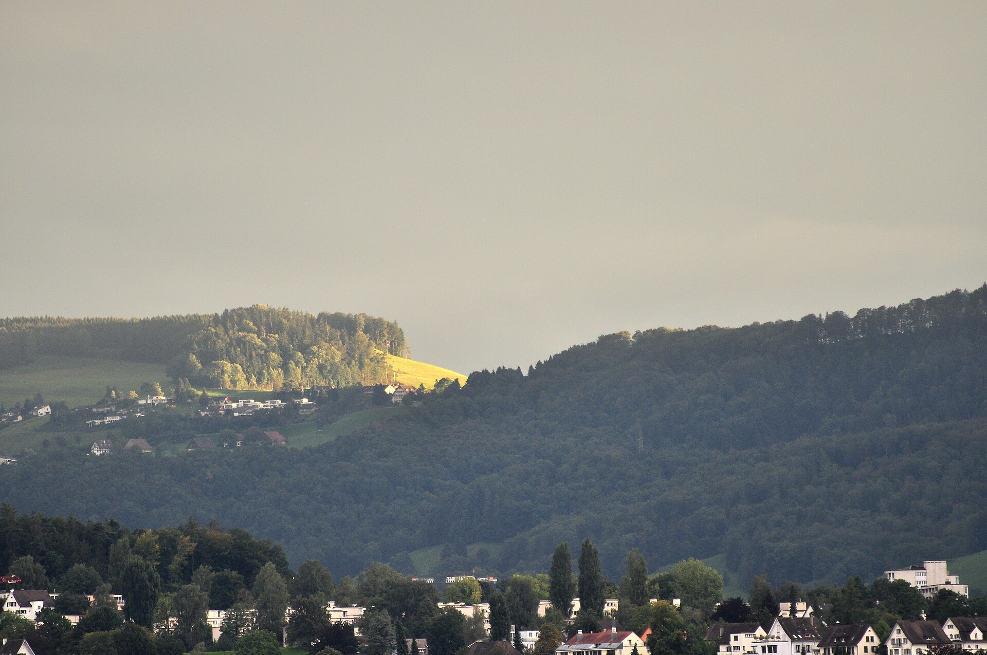
A quiet ridge south of Zurich, with the Alps on show and a restaurant at the top.
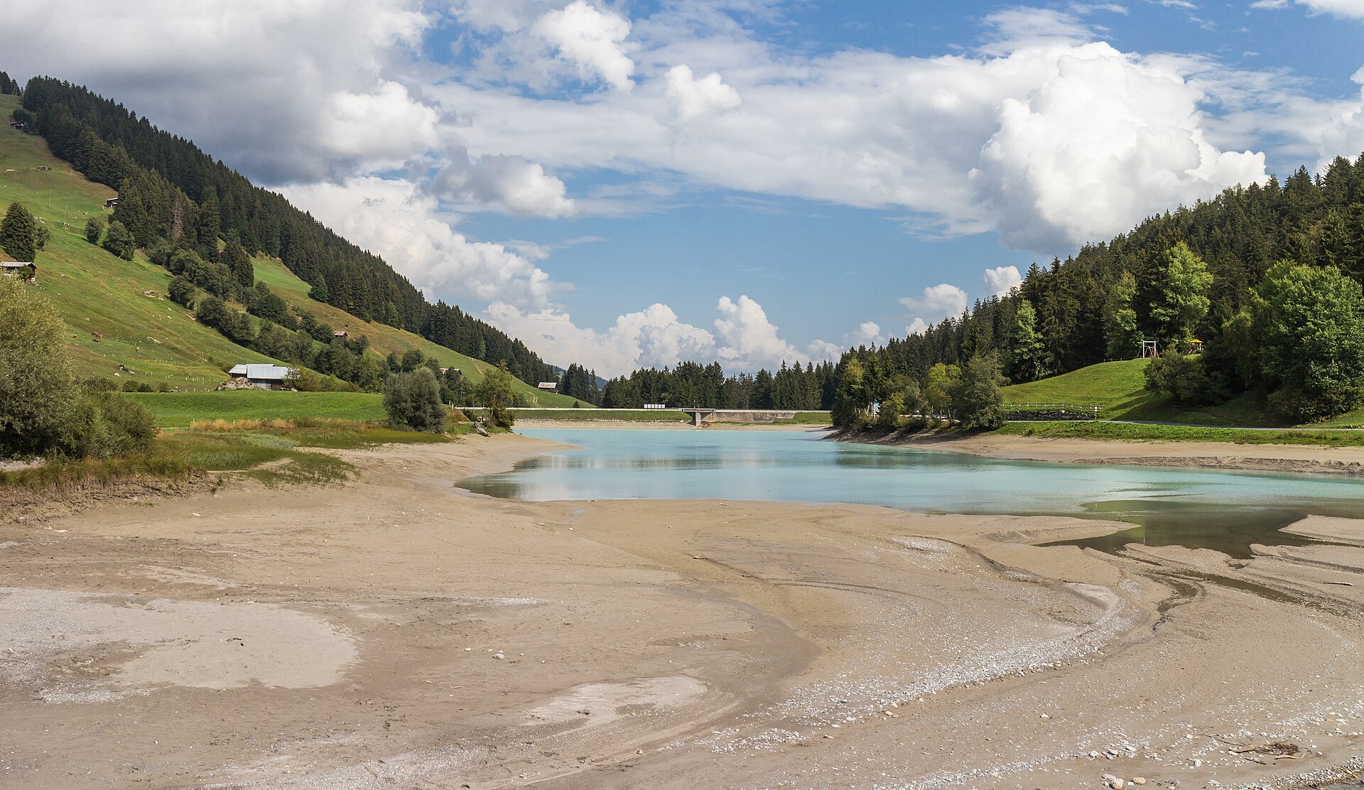
A 6 km valley walk beside the UNESCO Albula railway's loops and viaducts, with a 20-minute train ride home.
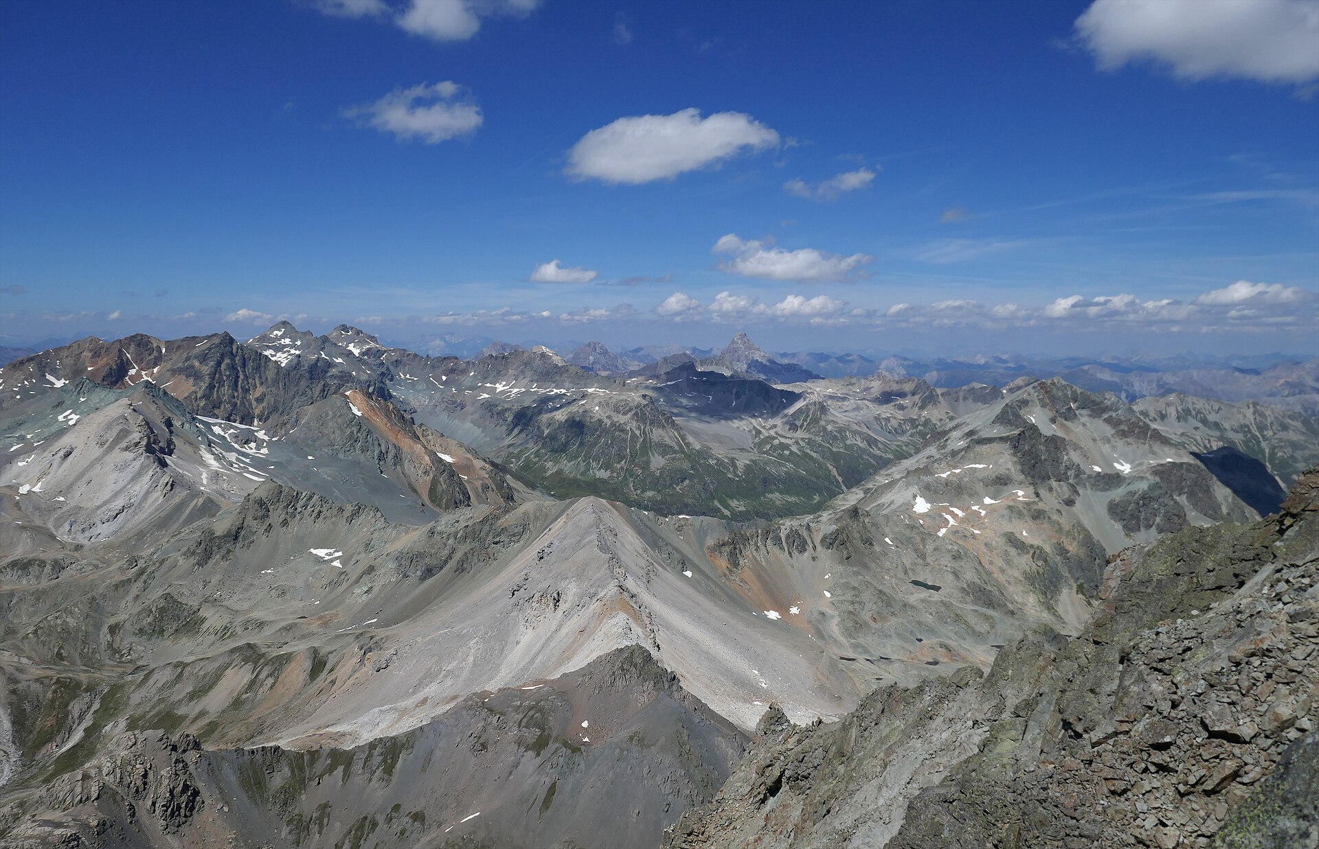
A majestic high-alpine trek bridging the historic Albulapass road with the remote Jenatsch Hut (SAC), nestled deep in the heart of the Albula Alps. The trail navigates rugged moraines, sparkling alpine tarns, and open stone-strewn plateaus surrounded by jagged 3,000-meter peaks like Piz Calderas and Piz d'Err. This route delivers a true wilderness experience in Graubünden, far from mechanized lifts and crowds.
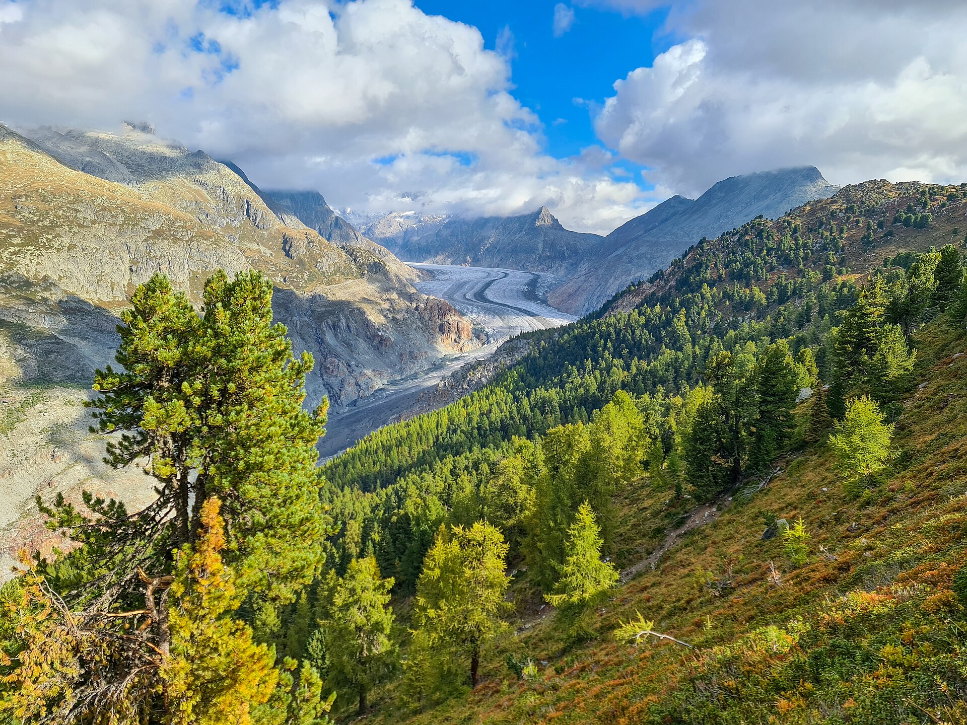
Ancient Swiss pines on a ridge beside the Aletsch glacier.
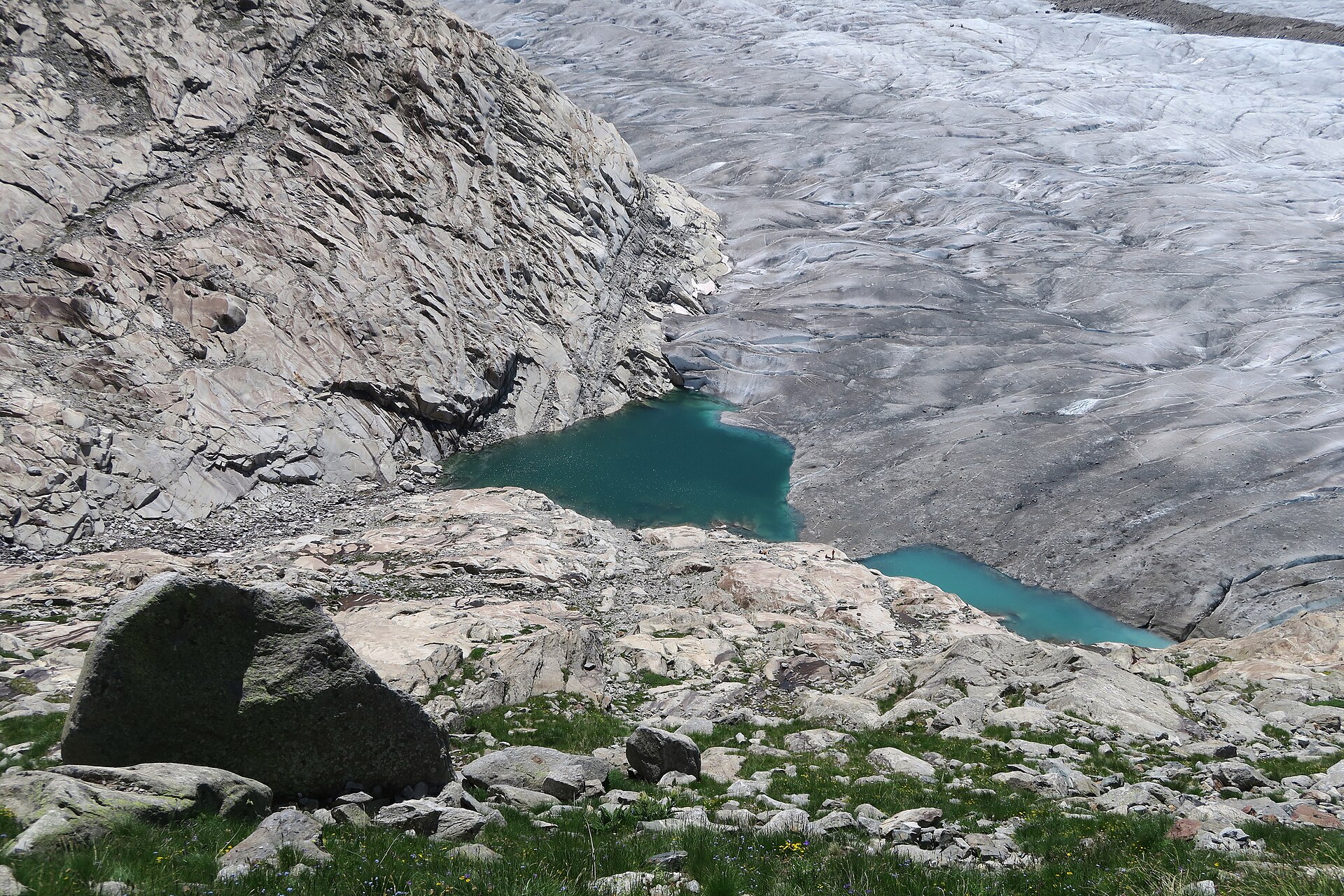
Walk beside the longest glacier in the Alps, a UNESCO World Heritage site.
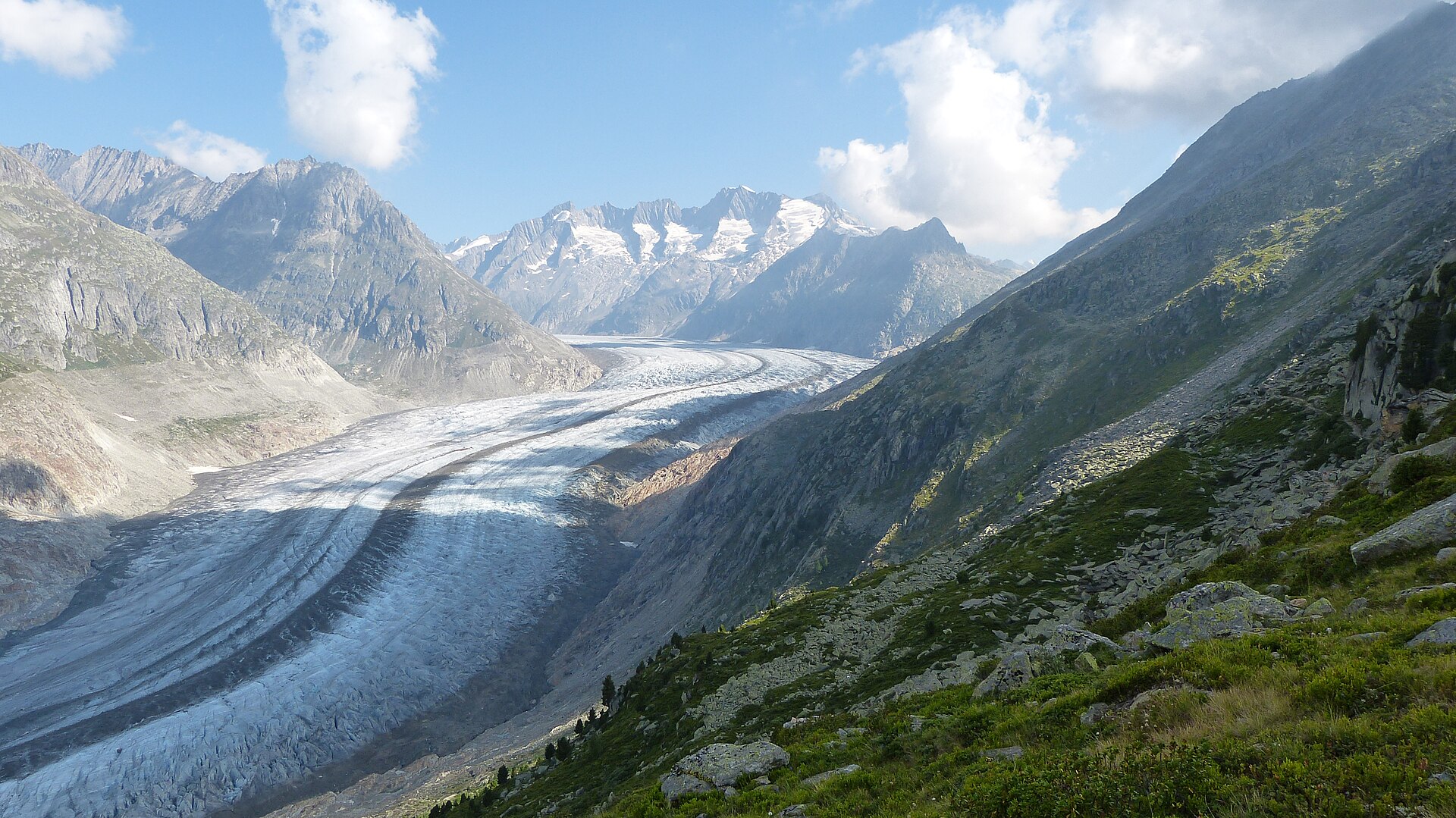
A world-class high-altitude balcony trail tracking the edge of the Great Aletsch Glacier—Europe's largest ice sheet and a UNESCO World Heritage site. Starting from the Bettmerhorn ridge station, the path winds past brilliant alpine tarns and ancient Swiss stone pine forests, offering continuous, jaw-dropping perspectives of the massive 23-kilometer ice river flanked by the towering Valais four-thousanders. The terrain is safe, wide, and exceptionally scenic, making it an essential alpine classic.
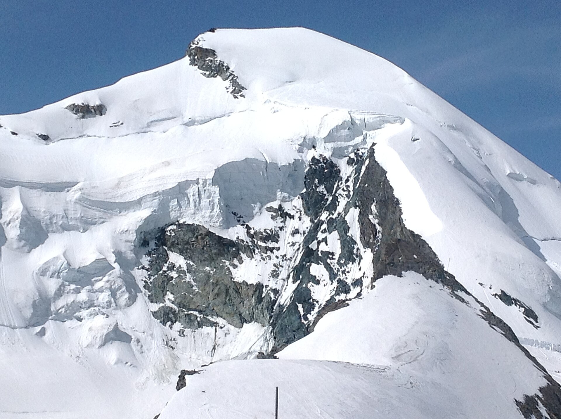
One of the most accessible 4,000-meter peaks in the Swiss Alps, the Allalinhorn offers an unforgettable introduction to high-altitude glacier mountaineering without requiring technical rock-climbing skills. Starting from the Mittelallalin underground metro station at 3,456 m, the route traverses the Fee Glacier across crevasses and snowfields before a final straightforward snow ridge leads to the summit cross at 4,027 m, surrounded by an endless sea of Valais giants.
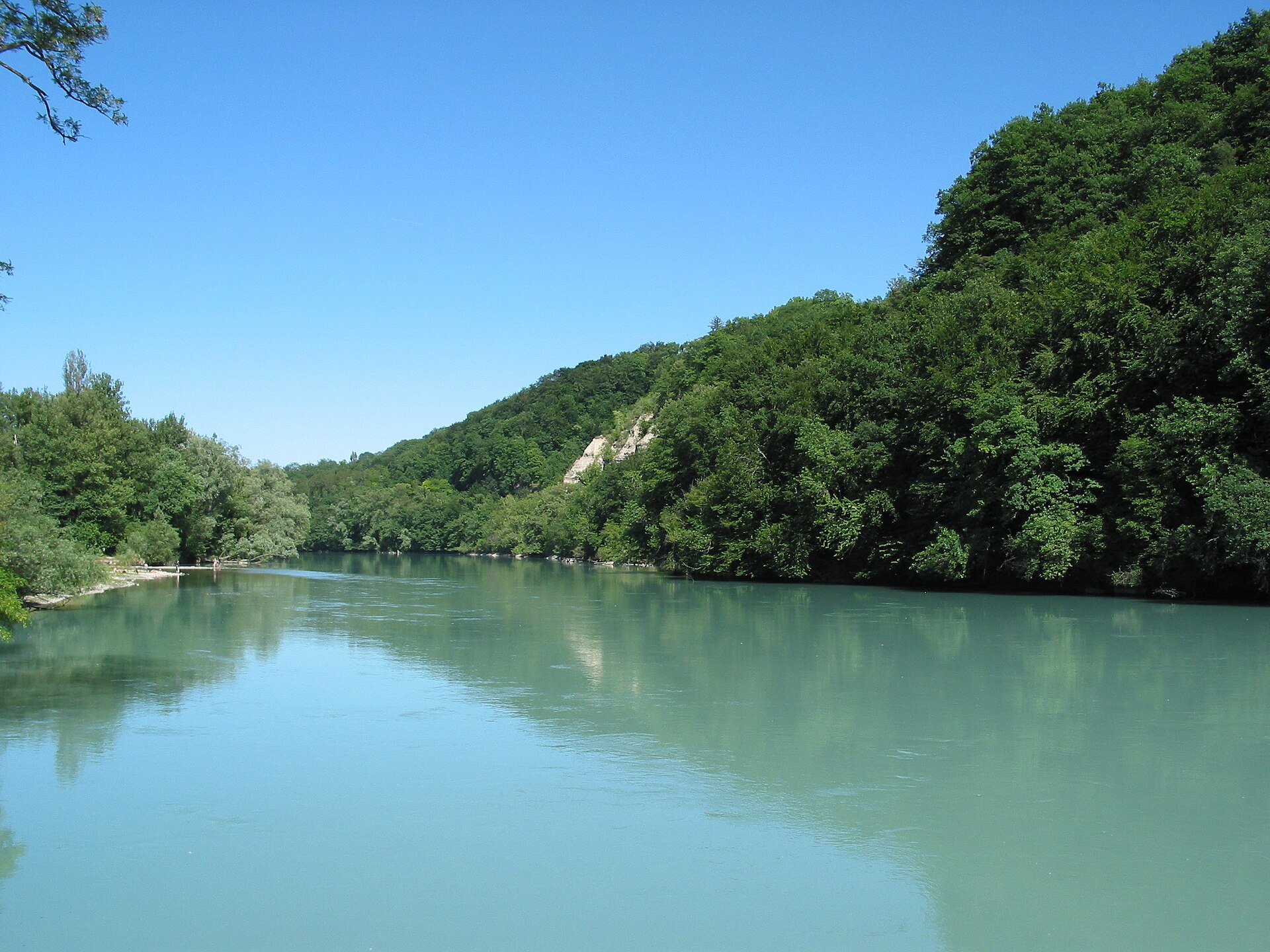
A wild river valley of beech woods and gravel banks at the edge of Geneva.
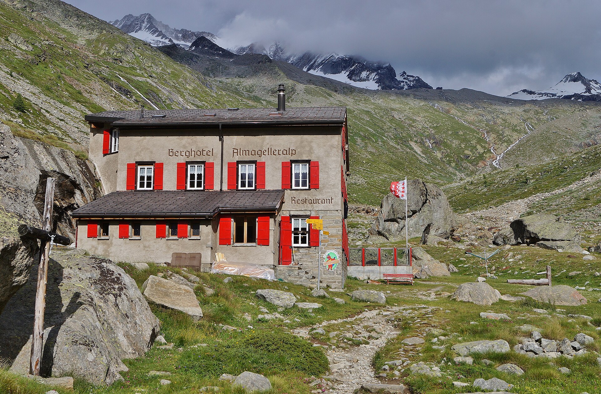
A long, steep climb from Saas-Almagell to a Swiss Alpine Club hut in a stony bowl below the Weissmies and the Almagellerhorn.
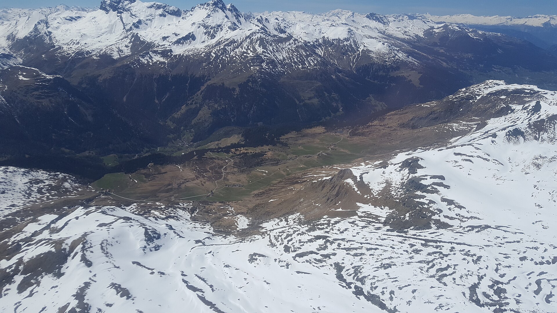
A high sunny terrace of moors and larch, protected as a landscape of national importance.
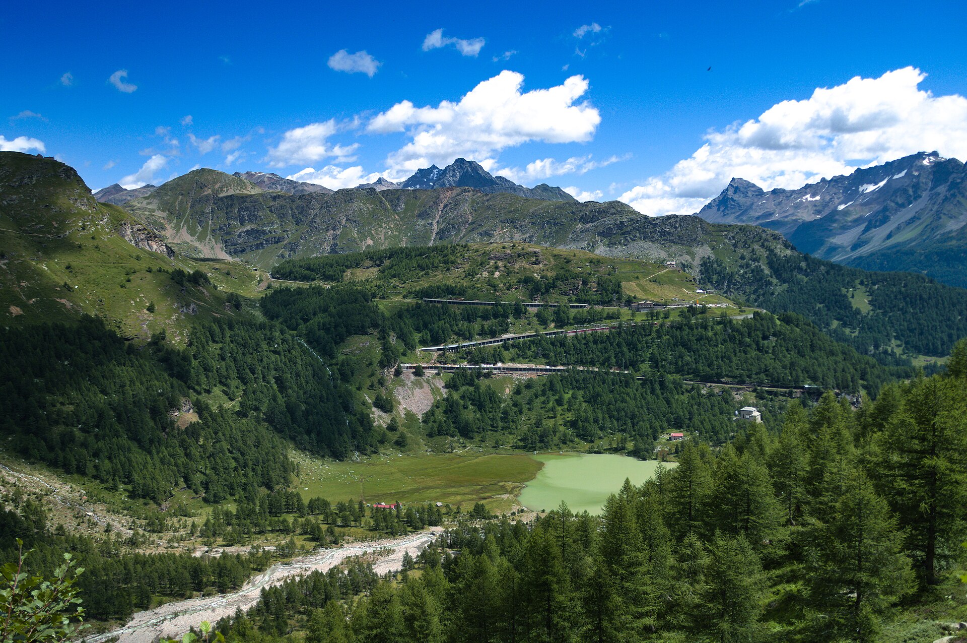
A railway halt above the clouds, a glacier lake and a train to ride home.
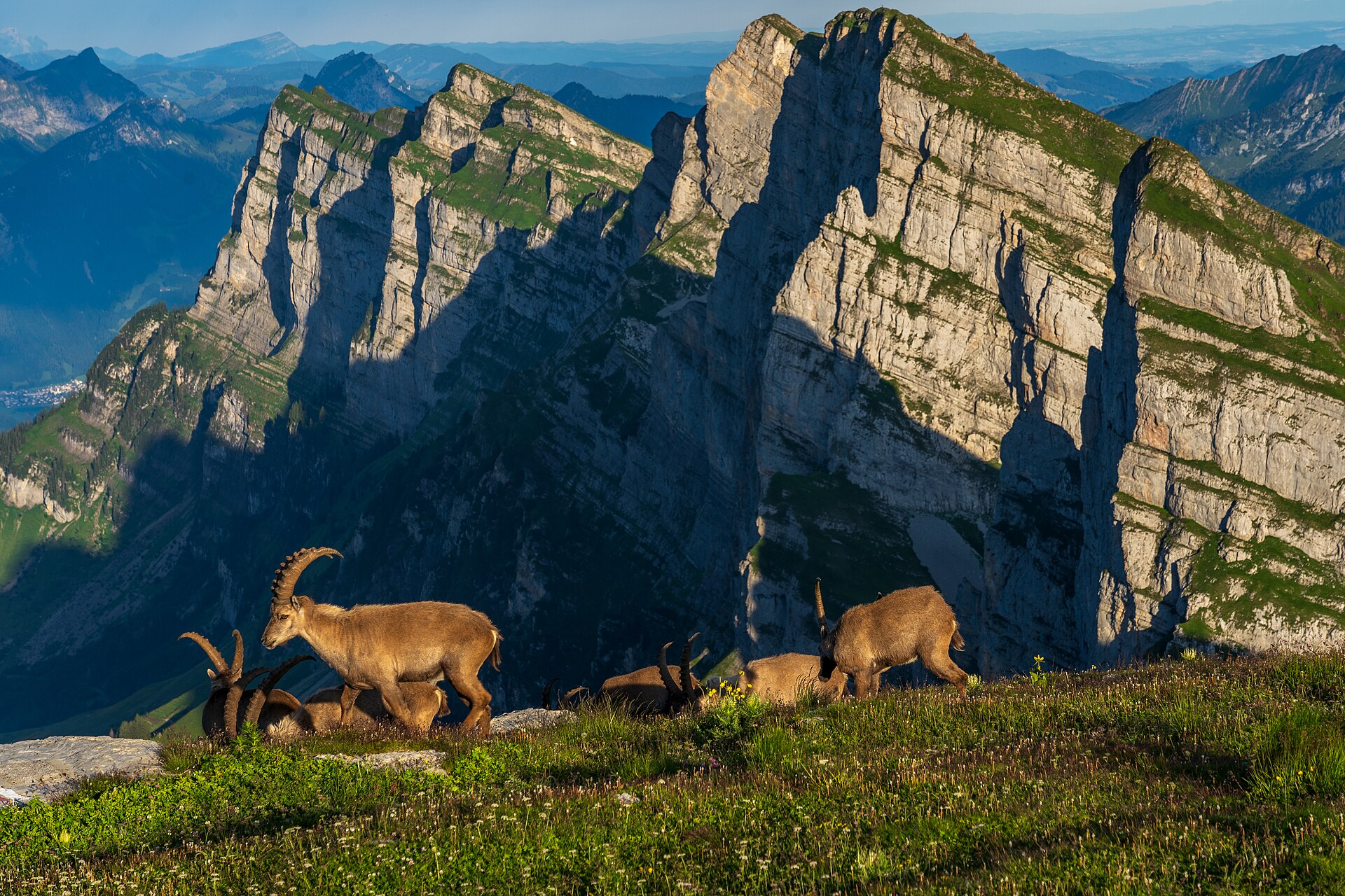
An enchanting, family-oriented musical theme walk set against the dramatic limestone backdrop of the Churfirsten mountain range in Toggenburg. Starting from the Alp Sellamatt high plateau, the trail combines gentle walking with giant outdoor acoustic sound sculptures—including giant singing bowls, melodic metal chimes, and wind-hープ instruments—allowing hikers to interact directly with the natural acoustics of the mountains. The wide, gravel-paved pathways make this ideal for families and relaxed nature lovers.
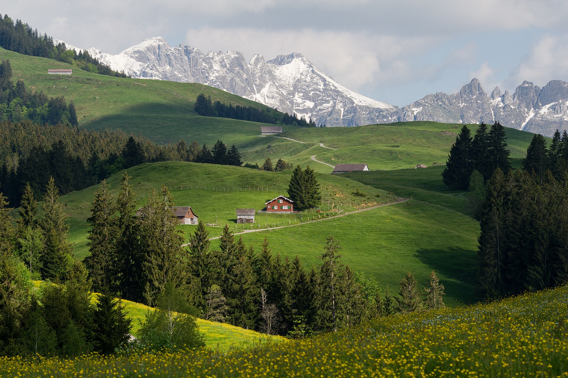
A legendary high-altitude traverse across the eastern backbone of the Alpstein massif. Starting from Wasserauen, the route climbs steeply past Meglisalp, traverses beneath the towering limestone walls of Altmann and Säntis, and crosses the breathtaking Ridge of Staubern before arriving at the revolving restaurant summit of Hoher Kasten. The trail demands sure-footedness and a head for heights, rewarding hikers with panoramic vistas stretching across Lake Constance into Germany and Austria.
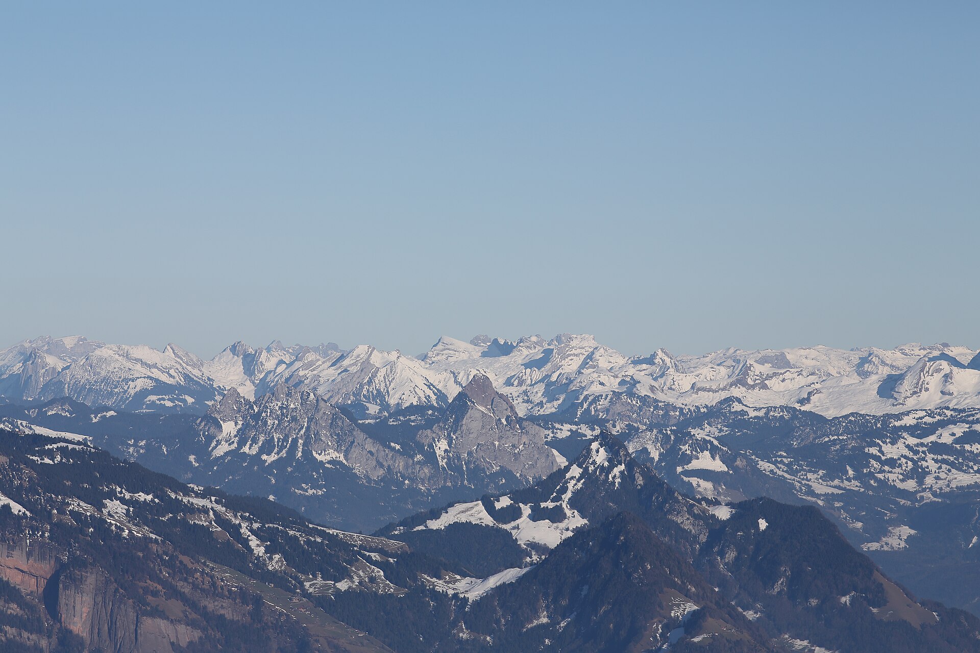
A classic Schwyz pre-Alps hike looping around the iconic twin peaks of Gross Mythen and Kleiner Mythen. Starting from the quiet mountain village of Alpthal, the route ascends through lush alpine pastures, spruce forests, and high ridges offering dramatic, steep-walled views of the Schwyz basin and Lake Lucerne. The terrain combines well-maintained dirt footpaths with smooth gravel farming tracks, making it a favorite for hikers seeking iconic Swiss heritage landscapes.
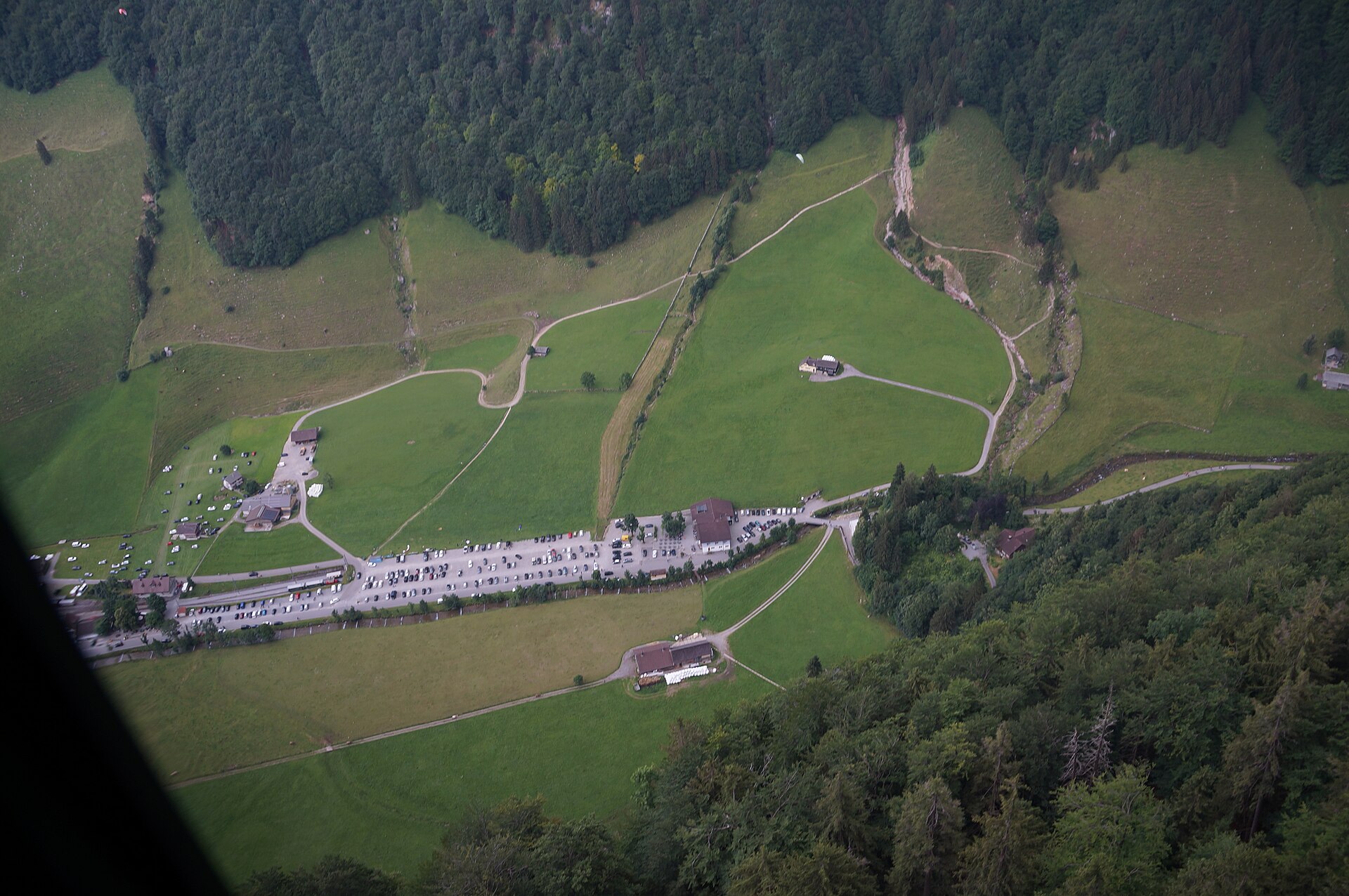
A long Alpstein day to a limestone summit, with a pass hut halfway.
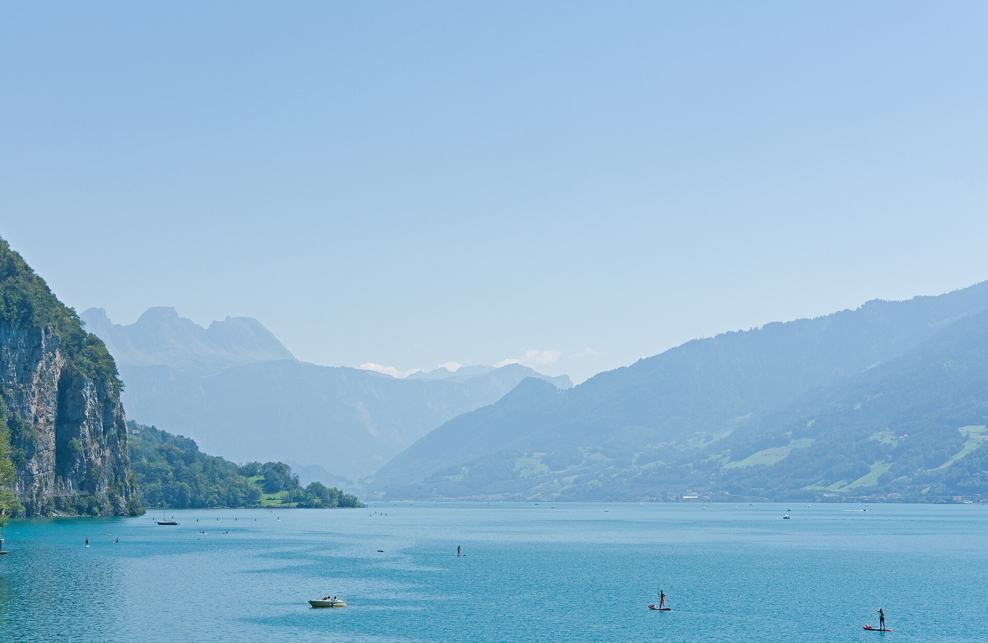
A magnificent balcony hike towering high above the deep blue waters of Lake Walen (Walensee) and facing the dramatic vertical rock walls of the Churfirsten range. Starting from the sun-drenched plateau of Amden, the trail ascends past rolling alpine pastures, fragrant pine groves, and rugged cliff edges toward Mattstock and Hinterrugg viewpoints. The route combines wide gravel paths with scenic mountain foottracks, delivering awe-inspiring vistas across eastern Switzerland.
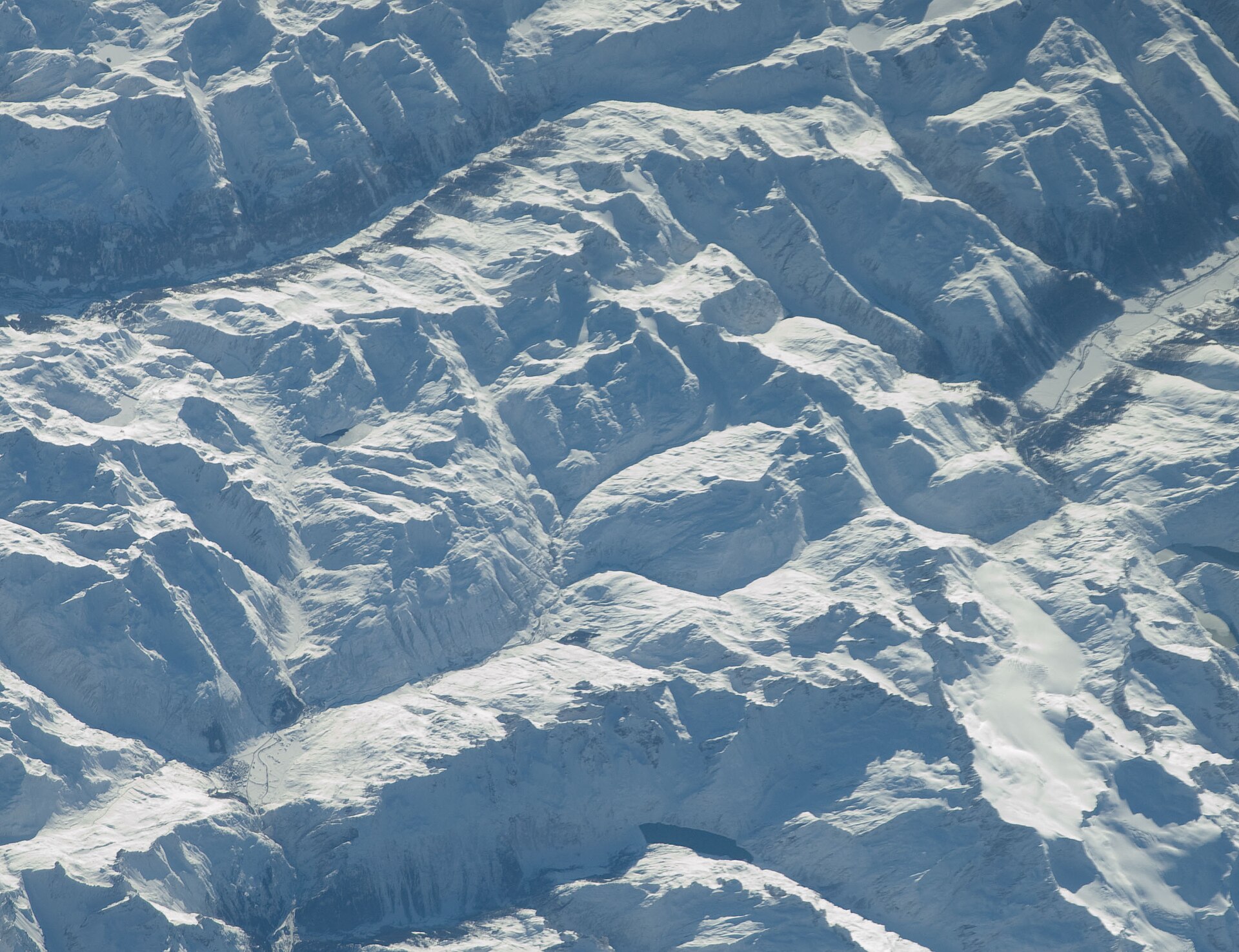
A historic alpine pass hike following ancient mule tracks along the infant Rhine river from the mountain crossroads of Andermatt up to the scenic summit of Oberalppass. The trail weaves past traditional Walser wooden barns, rushing torrents, and peat bogs under the shadow of towering Uri and Grisons peaks. Hikers can pause at the iconic red lighthouse marking the Rhine's source at Lake Toma (Lai da Tuma) just above the pass.
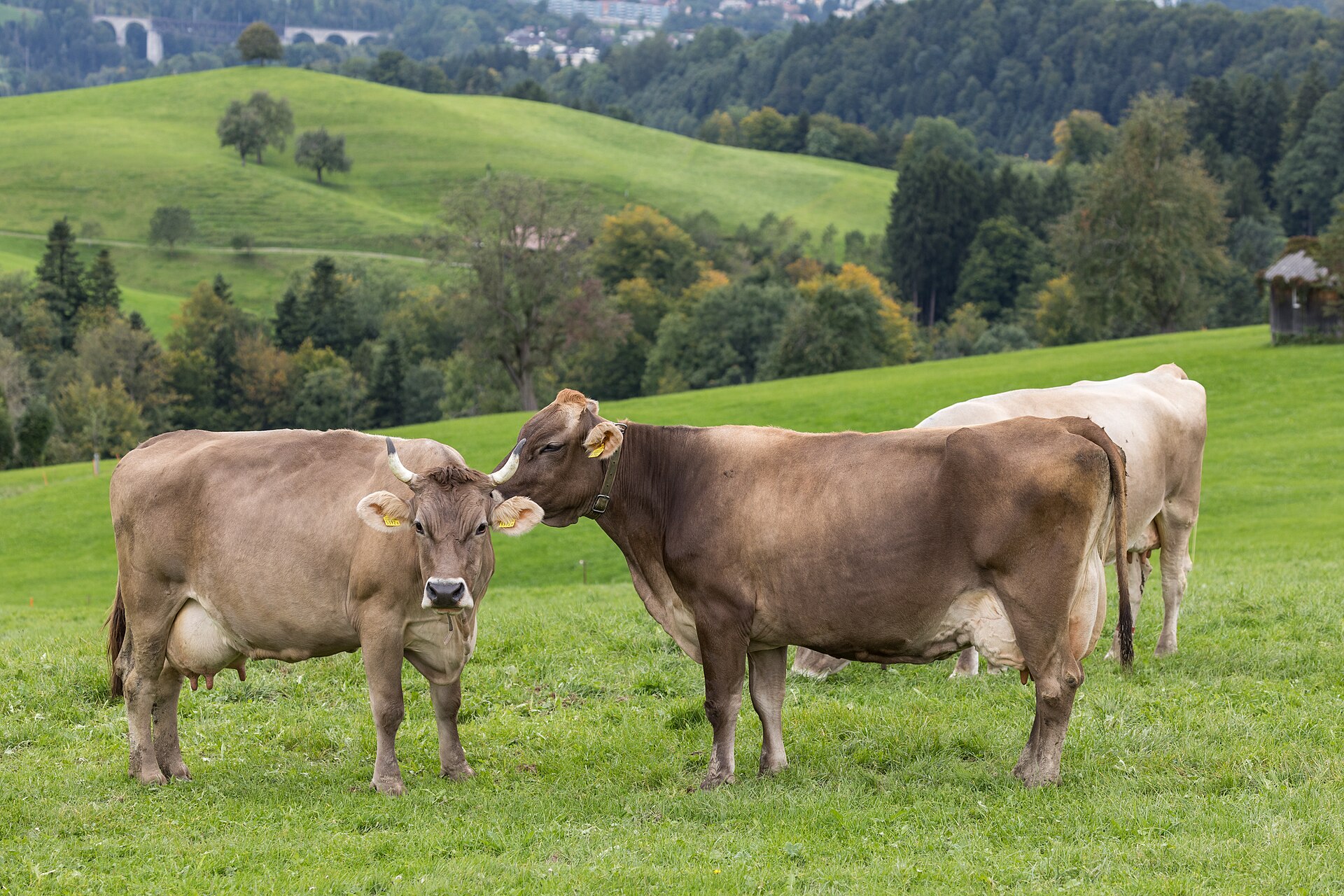
An idyllic and culturally rich valley walk weaving through the rolling green hills, traditional dairy farms, and painted timber hamlets surrounding the historic village of Appenzell. The trail follows quiet country lanes and farm tracks past open meadows famous for organic cheese production, historic pilgrimage chapels, and panoramic views of the dramatic Alpstein limestone mountains. This walk offers a deep immersion into authentic Swiss rural heritage.
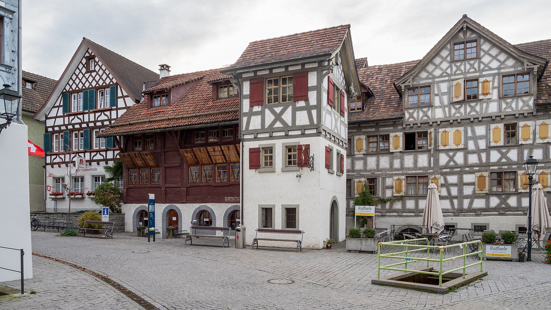
A Roman fort town on Lake Constance, with a castle and a long promenade.
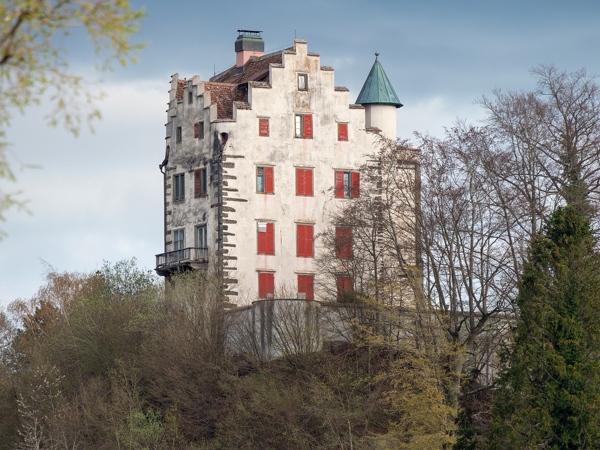
The castle where Napoleon III grew up, above a quiet arm of Lake Constance.
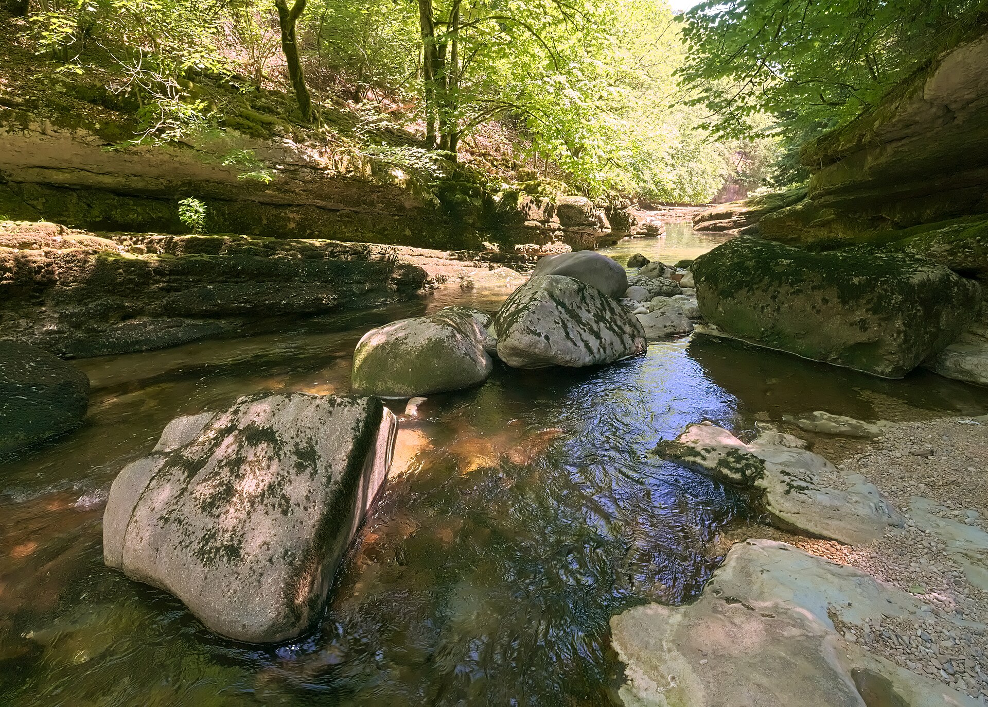
A river path through forest and rock, mostly on the level.
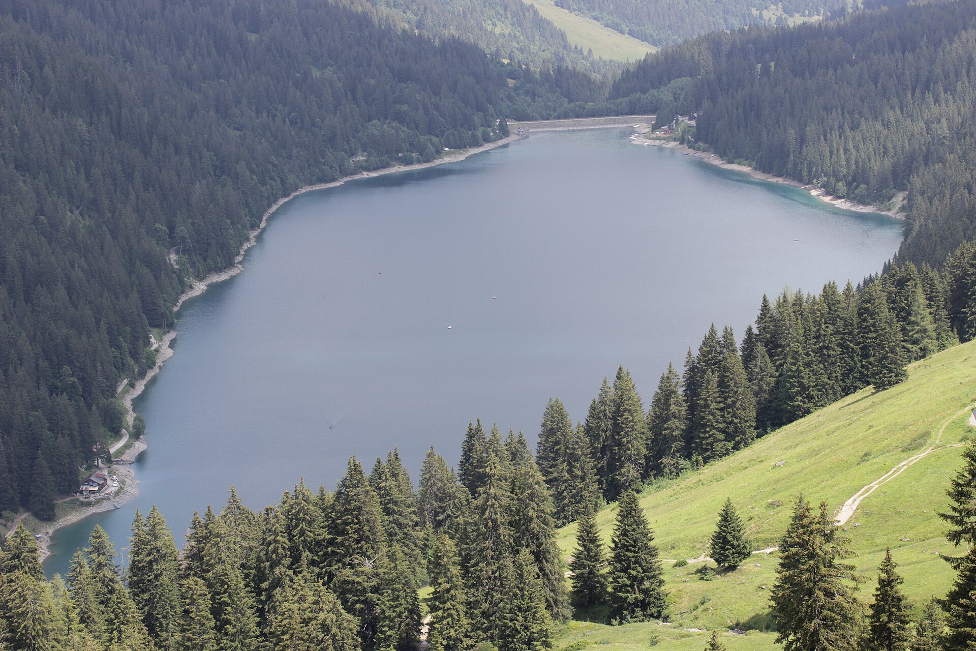
A quiet lake at the foot of the Diablerets, reached by a mountain road.
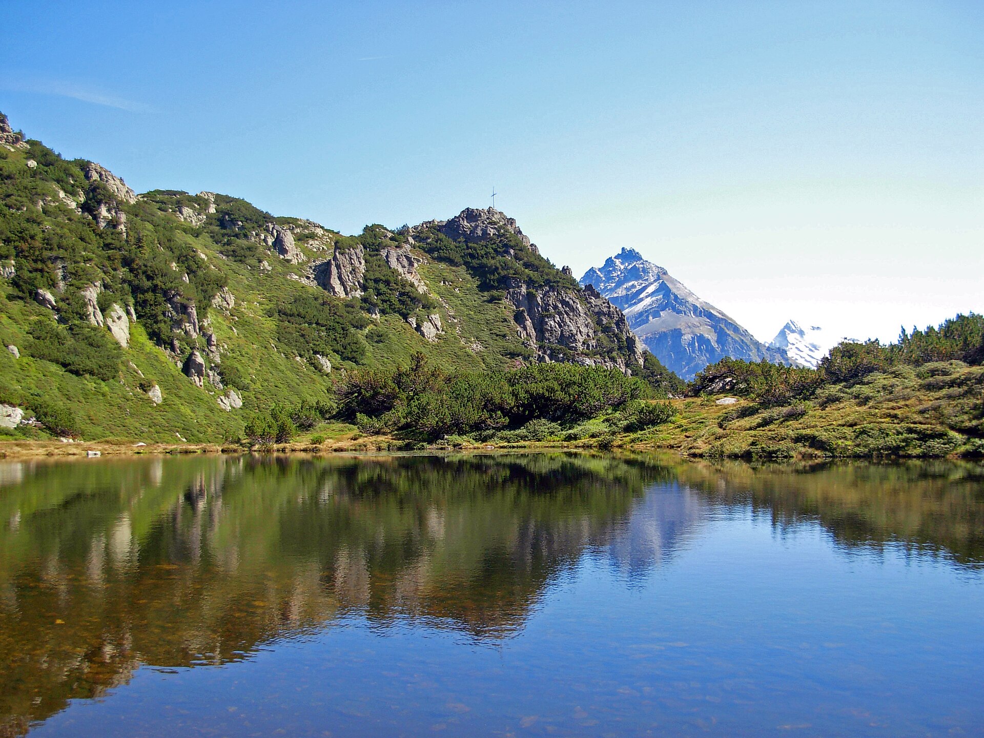
A peaceful and picturesque high-altitude lake loop centered around idyllic Lake Arnisee (Arnisee), perched on a sunny terrace high above the Reuss Valley. Accessible via charming small aerial cable cars from Intschi or Amsteg, the trail circles the sparkling, forest-fringed mountain lake before winding through mossy pine woods and grassy clearings. It is a favorite family-friendly destination offering stunning reflections of the Uri Alps.
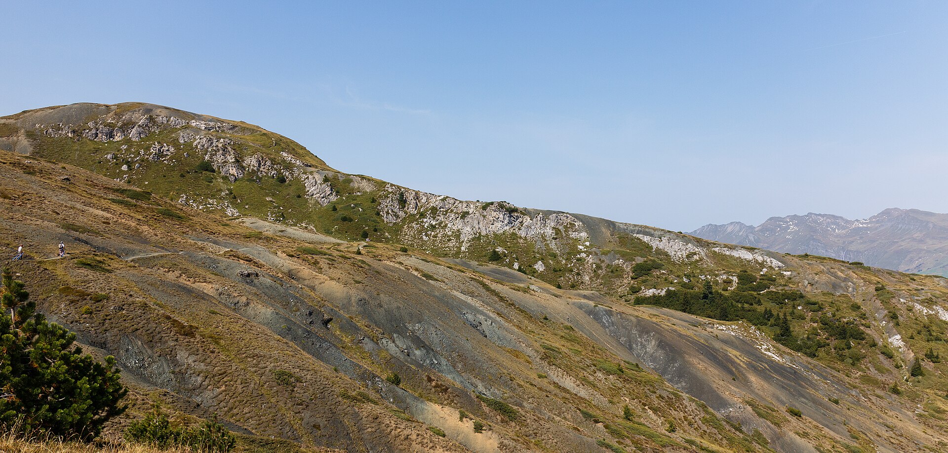
Two small lakes in a high resort, linked by an easy path through larch forest.
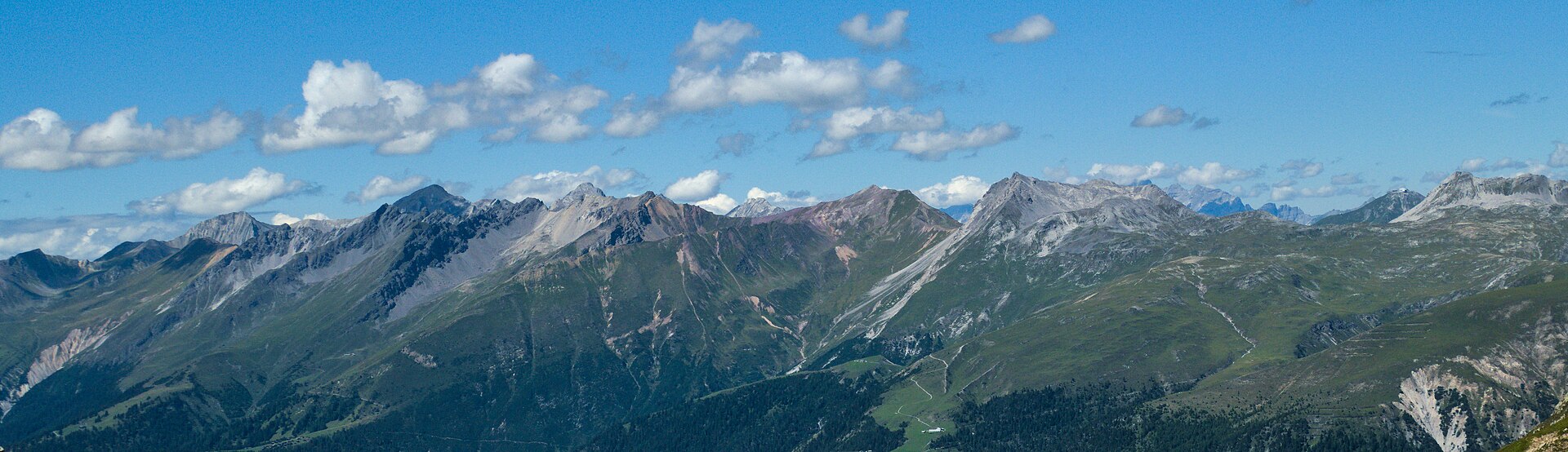
A premier high-altitude ridge traverse connecting two of Graubünden's top alpine resorts, Arosa and Lenzerheide. Starting from the Hörnli cable car station above Arosa, the trail crosses the Urdenwasserfall and ascends past the Rothorn summit area before offering sweeping panoramic vistas across the Plessur Alps and down into the Schanfigg valley. The terrain features wide, well-maintained mountain walking tracks and engineered suspension bridges over rushing alpine torrents.
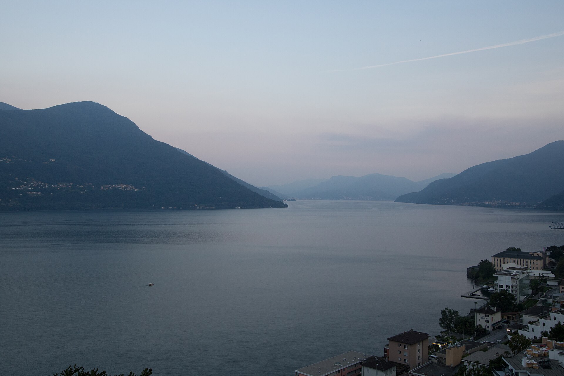
A sun-drenched, Mediterranean-flavored lakeside stroll linking the historic lakeside piazza of Ascona with the Swiss-Italian border town of Brissago along the sparkling shores of Lake Maggiore (Lago Maggiore). The route meanders past palm trees, subtropical gardens, pastel-colored villas, and serene pebble beaches backed by dramatic Ticino mountain slopes. Completely flat and paved throughout, this walk offers an effortless taste of the Swiss Southern dolce vita.
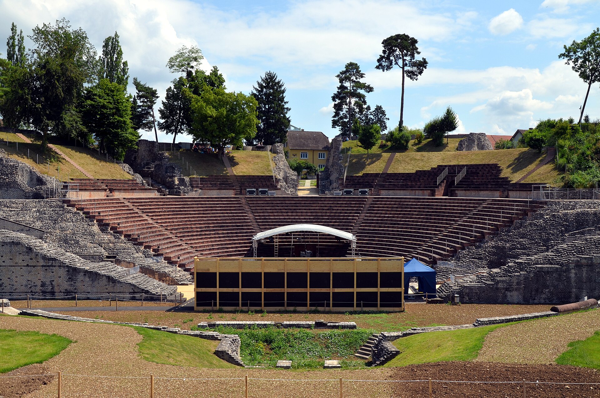
The ruins of the oldest Roman colony on the Rhine, with a theatre you can sit in.
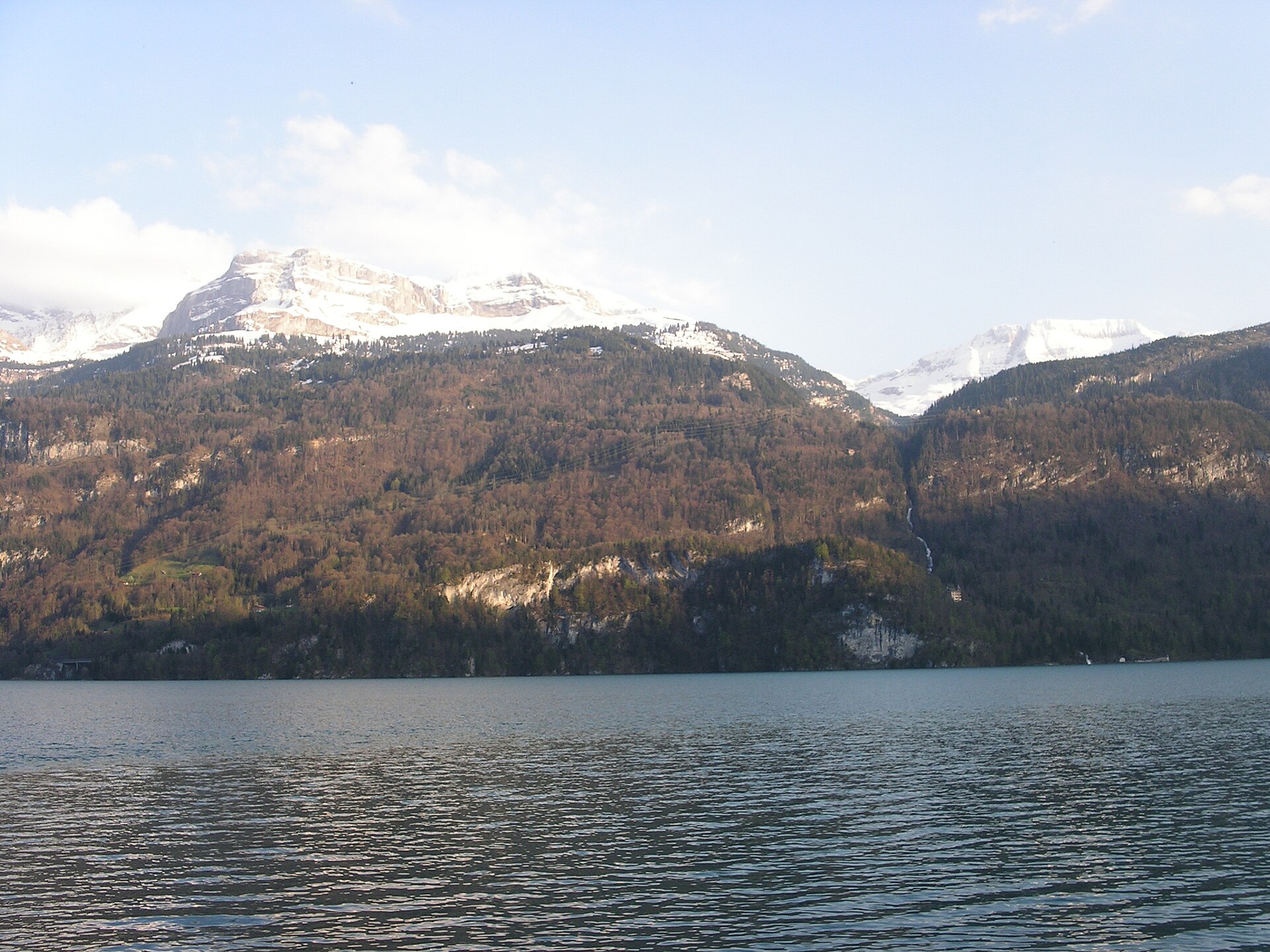
A high alp above Lake Brienz, with a view of the turquoise lake and the Brienzer Rothorn.
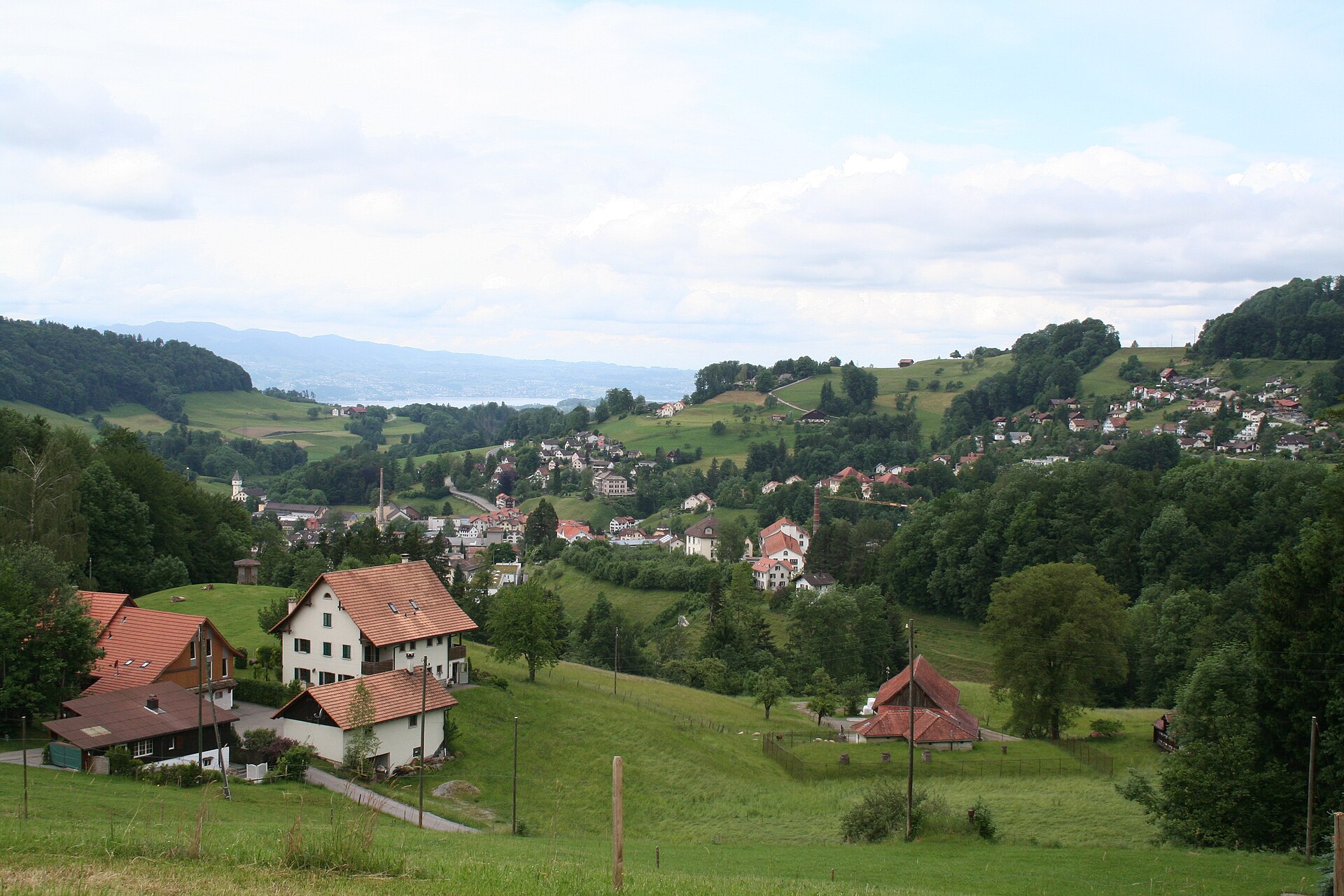
The highest point in the Zurich Oberland, with a tower and a Black Forest view.
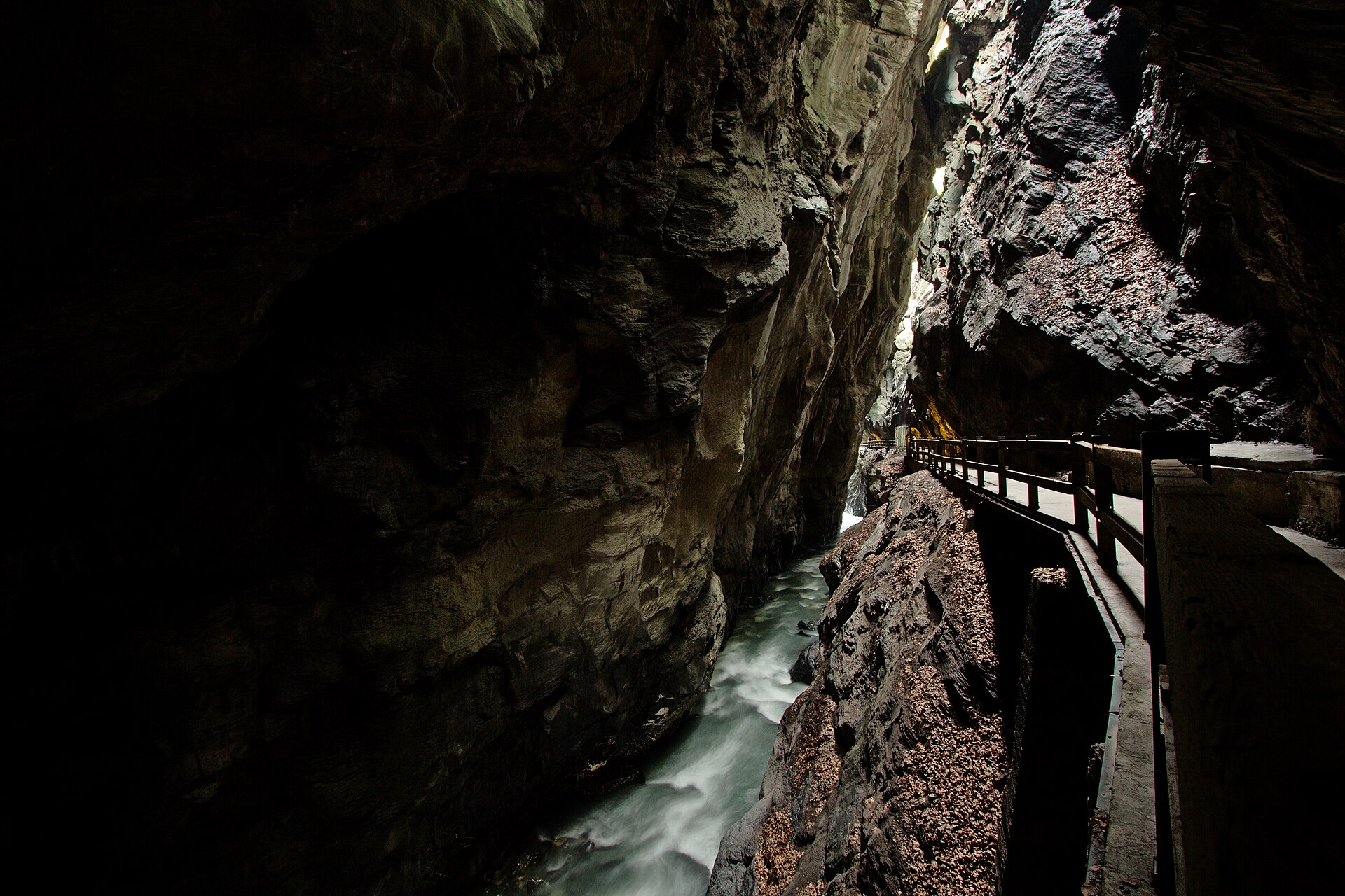
An awe-inspiring and historic valley walk following the roaring Tamina River from the luxury spa town of Bad Ragaz deep into the dramatic, sheer-walled Tamina Gorge (Taminaschlucht). This is the legendary birthplace of Bad Ragaz's healing thermal waters (36.5°C), discovered in the Middle Ages. The trail winds past grand Belle Époque spa architecture, lush parklands, and enters a secured pedestrian tunnel cutting straight through the towering rock faces to the mystical thermal spring grotto.
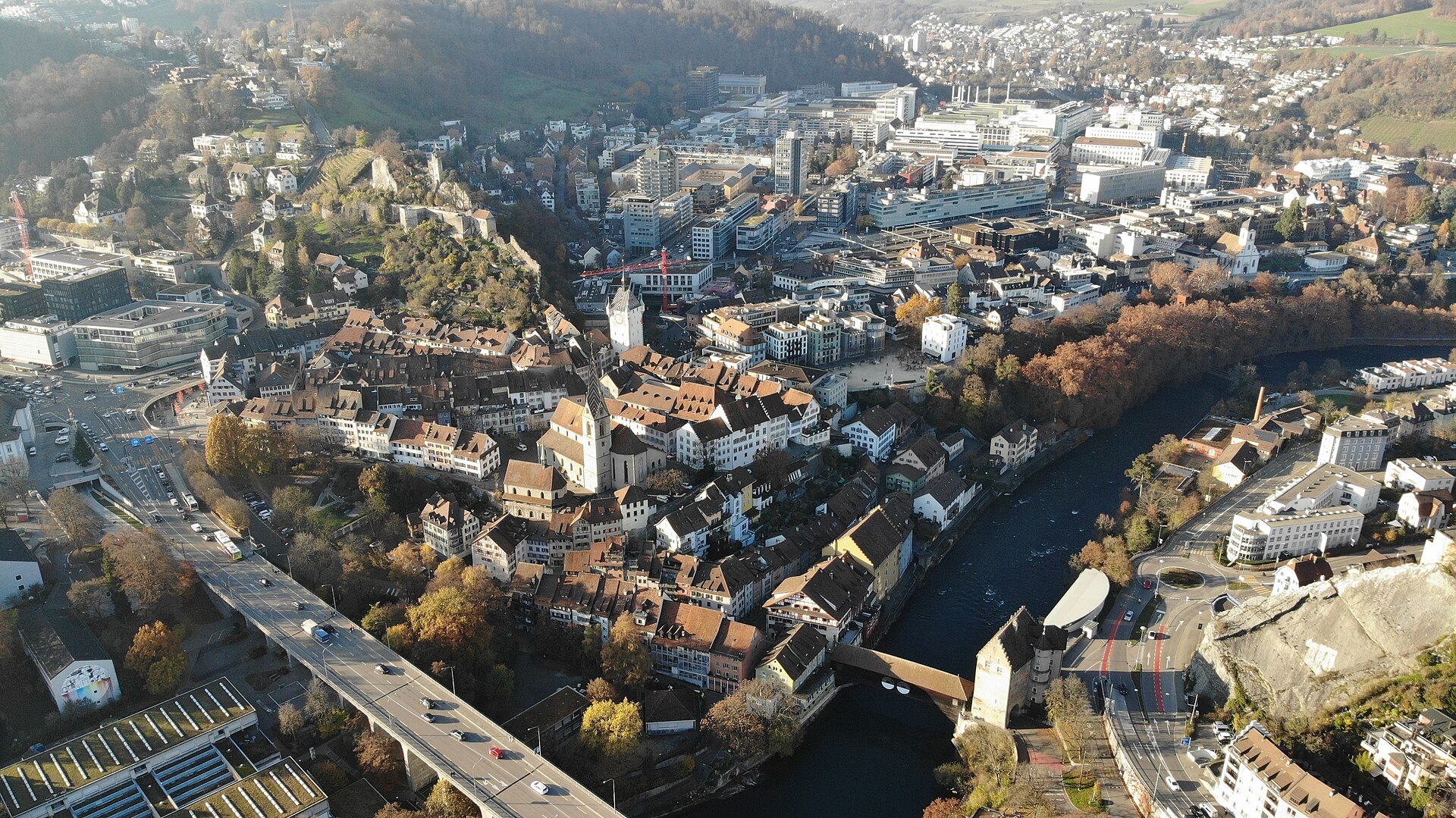
A thermal spa town on the Limmat with Roman roots and a river path.
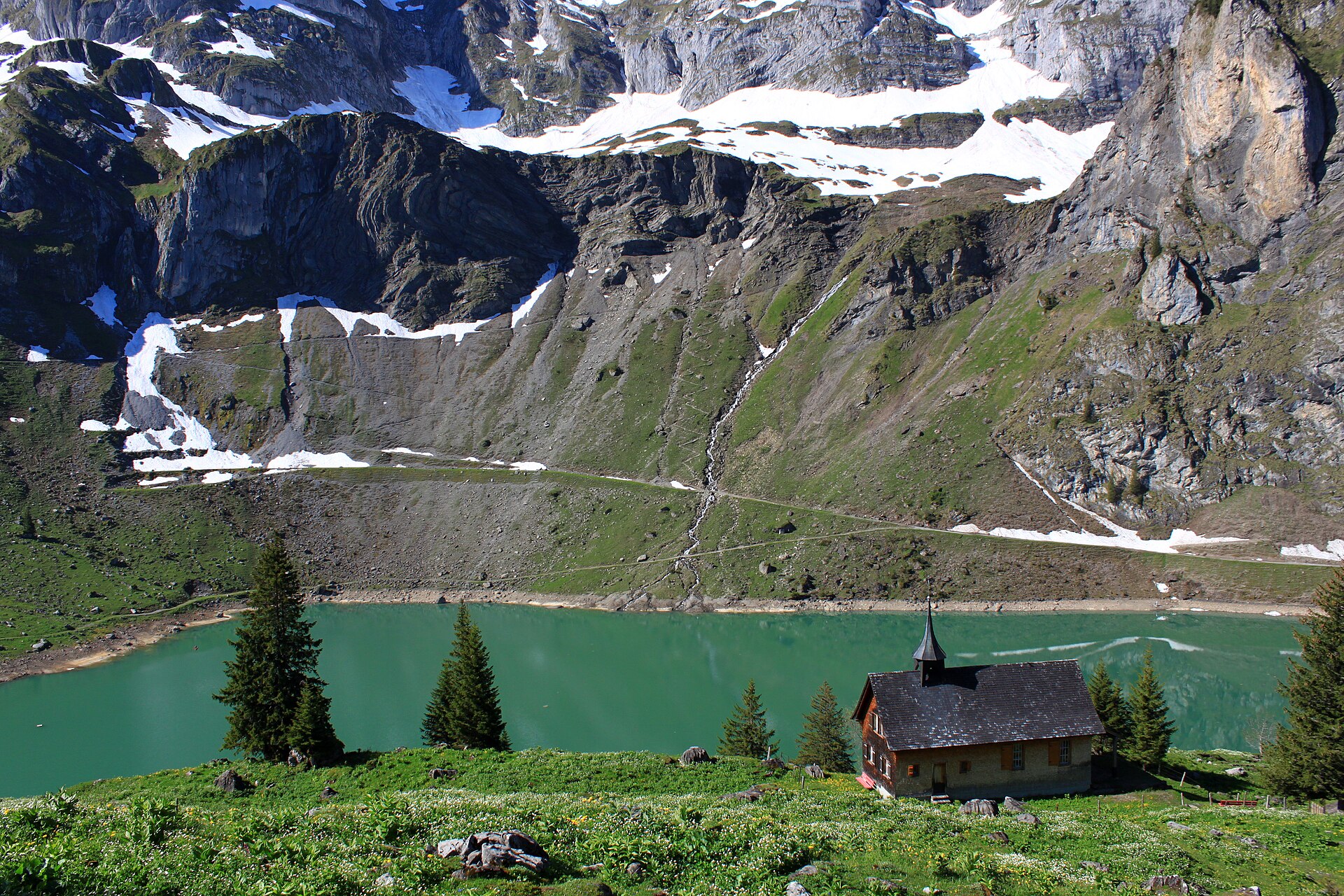
A breathtaking high-alpine reservoir circuit perched on a sun-drenched plateau high above the Wolfenschiessen valley in Nidwalden. Reached via a charming small aerial cable car from Oberrickenbach, Lake Bannalp (Bannalpsee) is surrounded by towering limestone peaks such as Chli Titlis and Ruchstock. The trail loops around the emerald-blue reservoir before climbing past traditional alpine cheese dairies and dramatic cliff balconies, offering pristine silence and spectacular Central Swiss panoramas.
A mountain lake reached by a cable car, with a loop path and a view of the Surenen peaks.
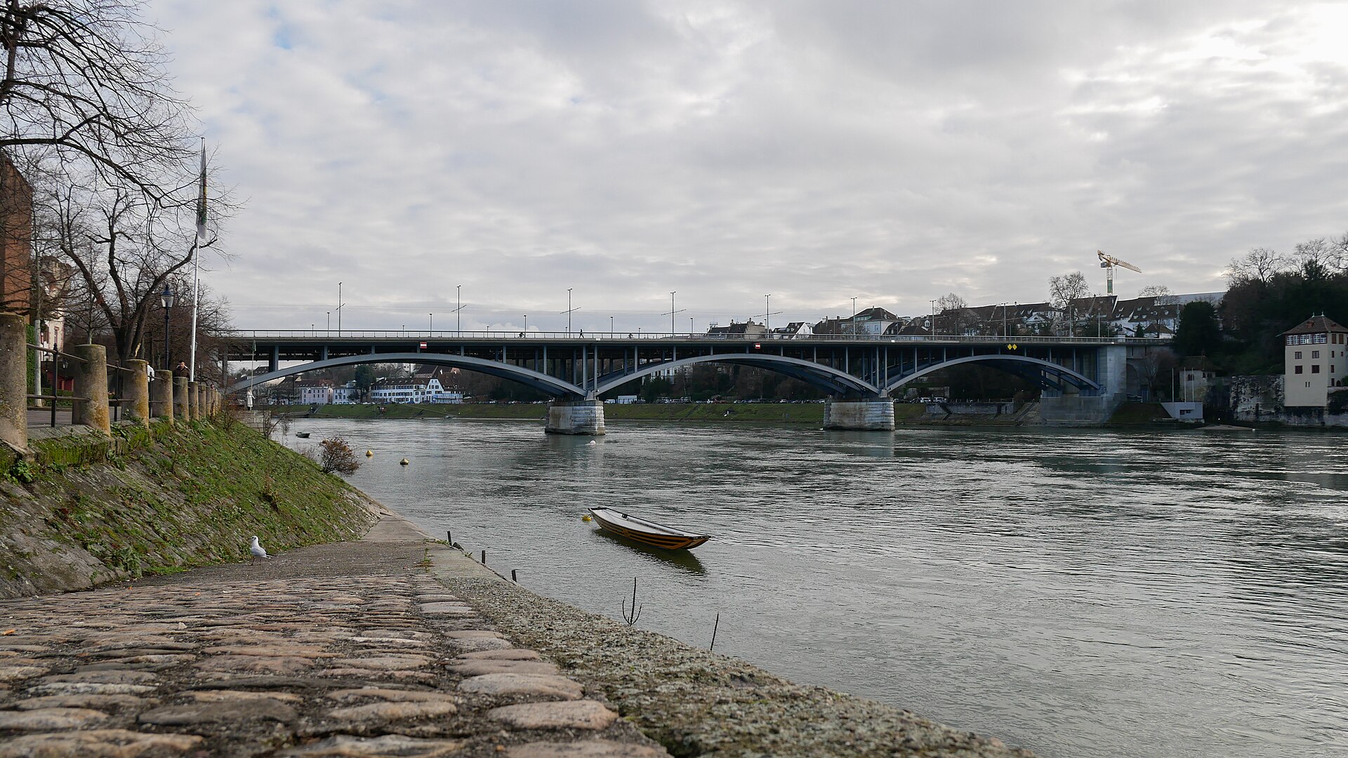
A city walk along the Rhine, with swimming in summer and three countries at the end.
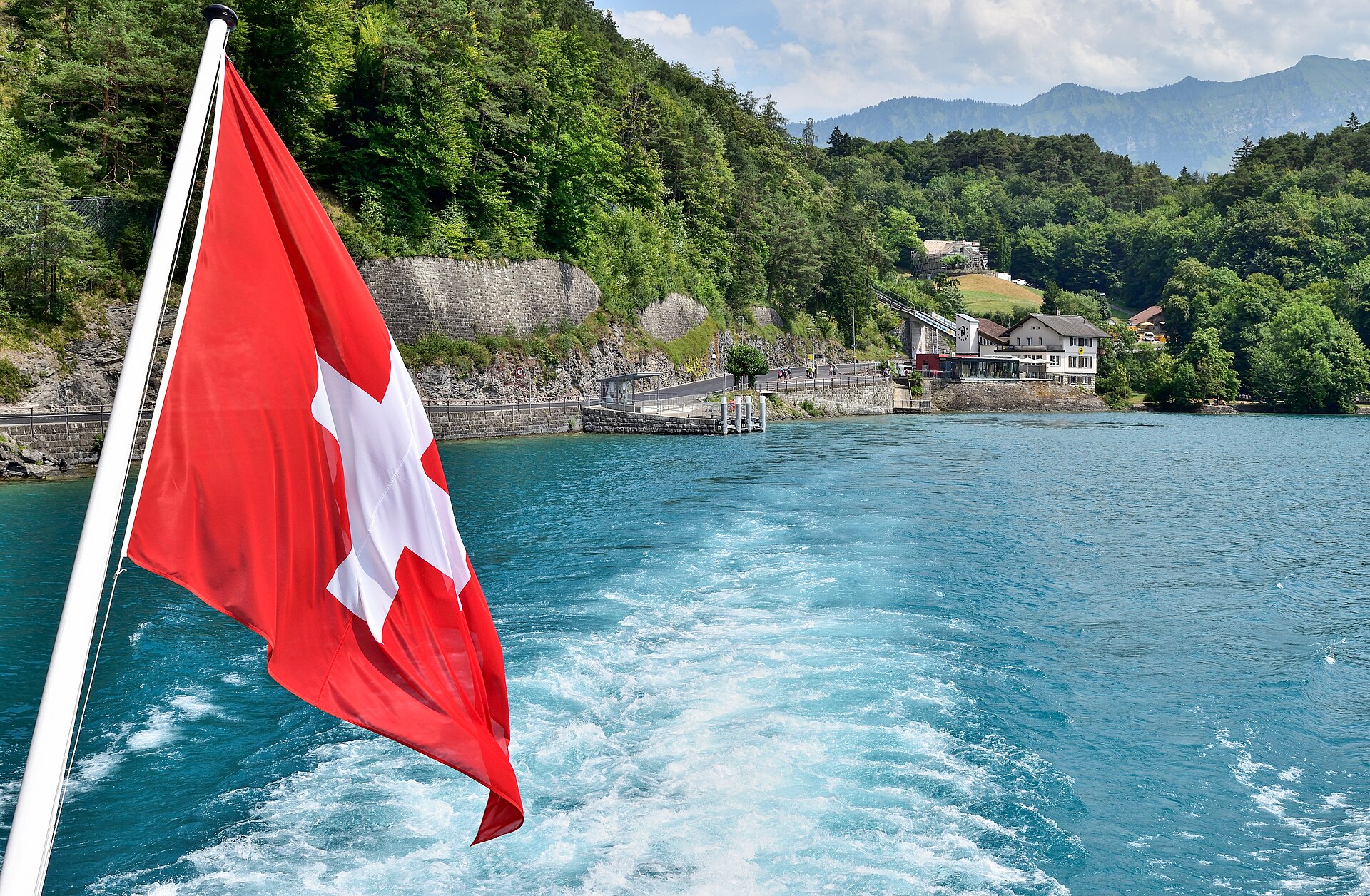
A cave with a dragon legend, a waterfall and a path along the lake.
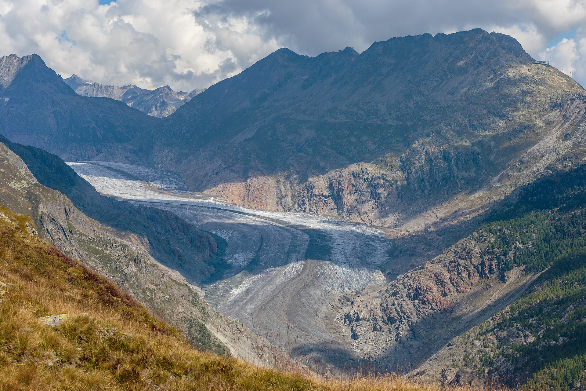
A historic mountain hotel, a glacier view and a suspension bridge over a gorge.
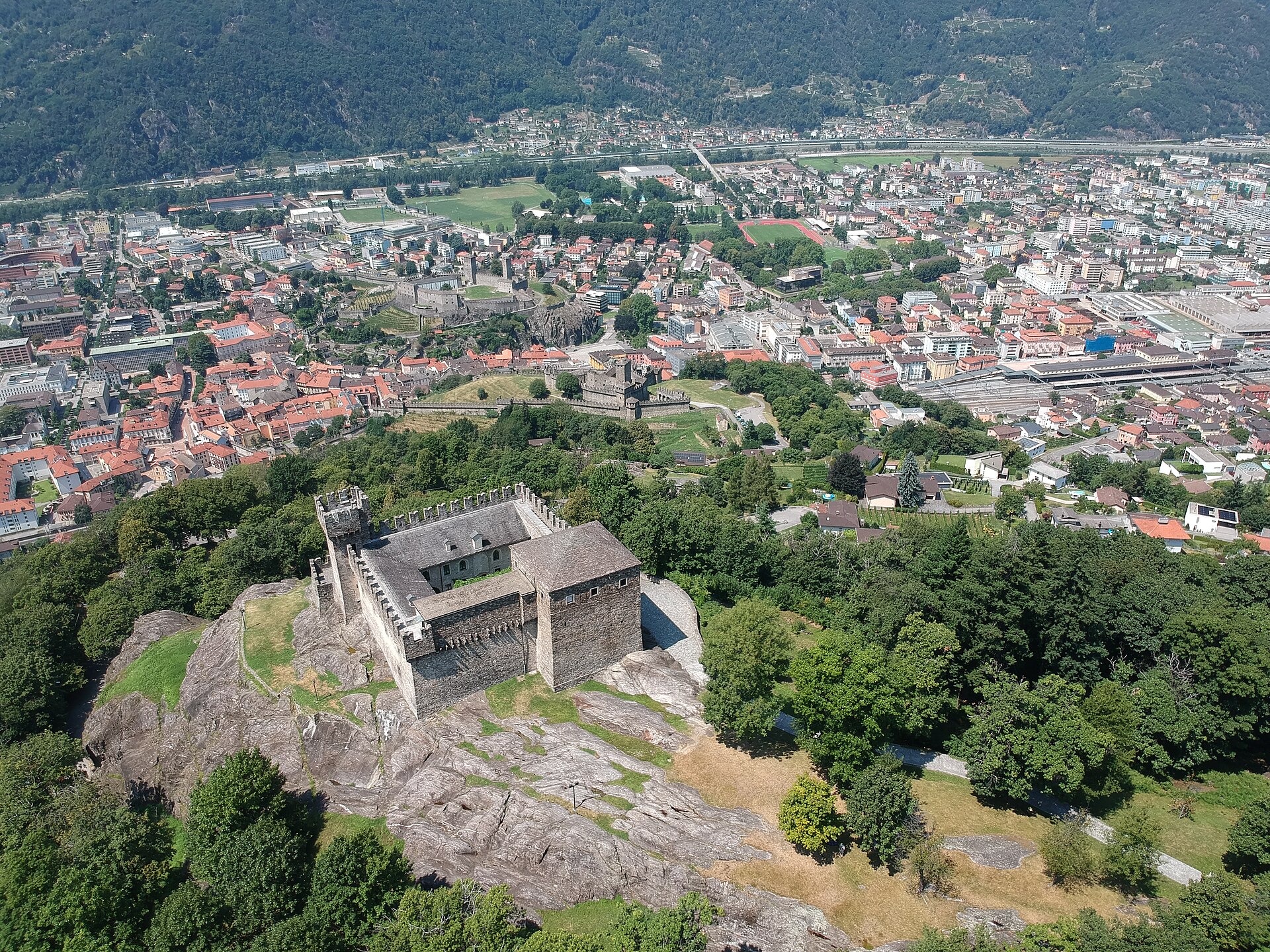
Three medieval castles on a rocky hill, a UNESCO site in a Ticino town.
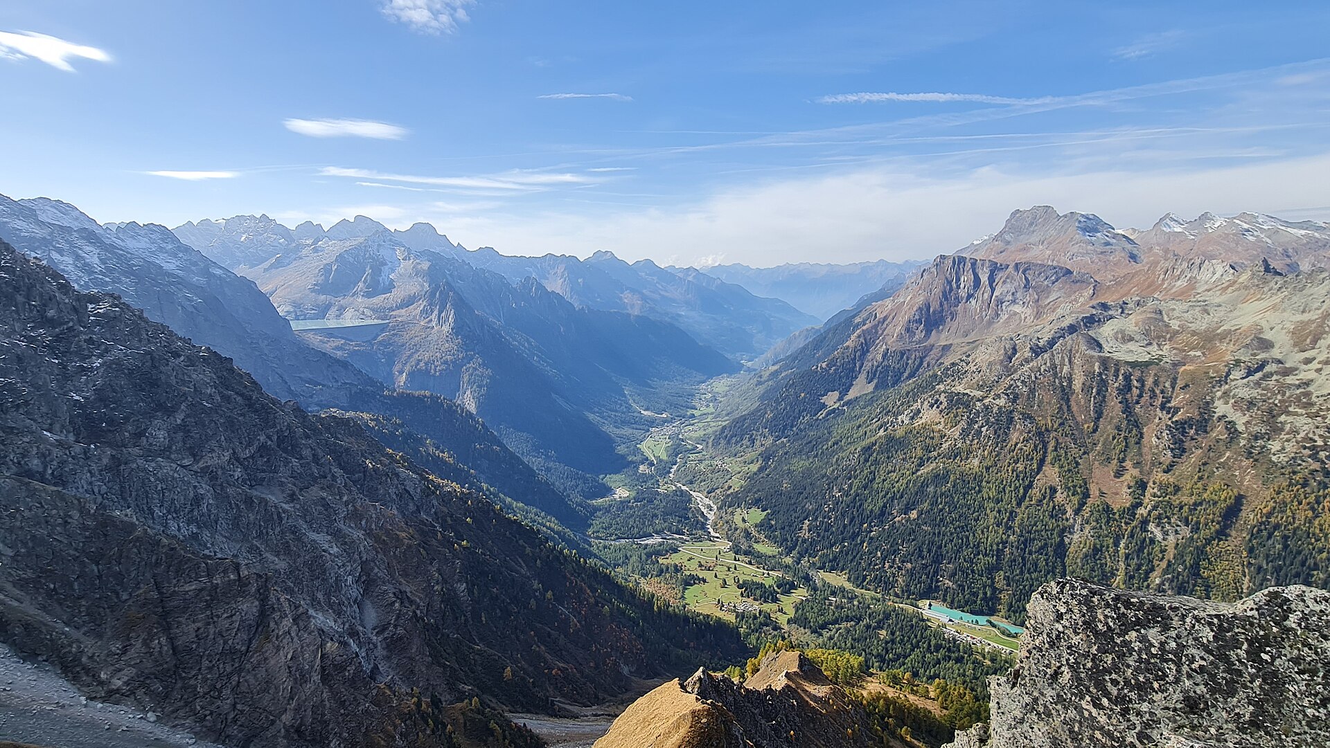
A legendary high-altitude balcony trail traversing the sunny northern slopes of Val Bregaglia (Bergell) between the historic art village of Soglio and the mountain hamlet of Casaccia. Known for its mesmerizing granite spires (Sciora group and Piz Badile), cascading waterfalls, and ancient chestnut groves, the Bergeller Höhenweg offers an exquisite blend of rugged alpine wilderness and gentle Mediterranean warmth in southern Graubünden.
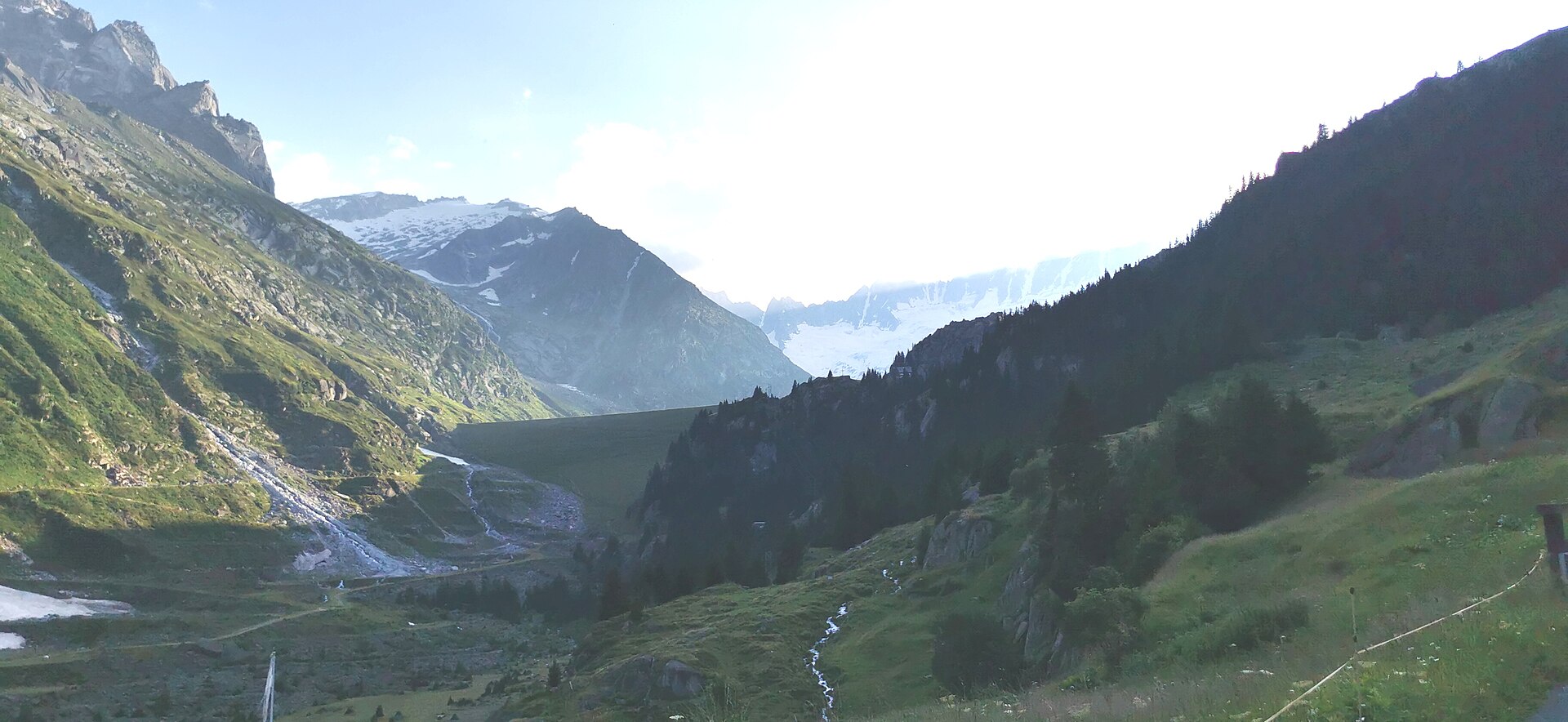
A steep rocky path up a granite gorge to a hut above a deep blue lake.
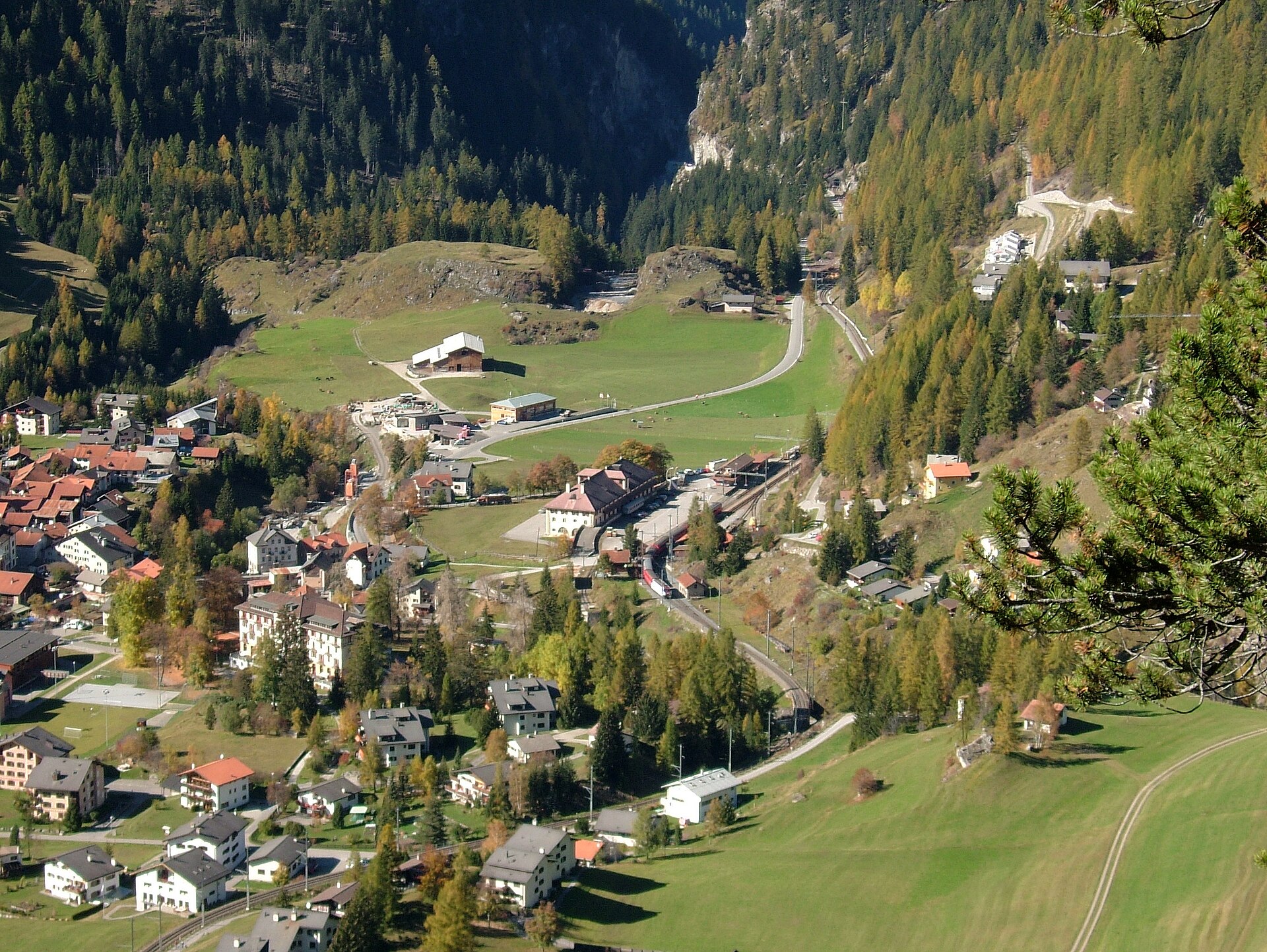
A world-renowned heritage trail following the famous UNESCO World Heritage Rhaetian Railway (RhB) Albula line from the picturesque village of Bergün up through pine forests, across dramatic stone viaducts, and along the winding Albulapass road. The route offers stunning perspectives of engineering masterpieces like the Landwasser Viaduct and helical tunnels, set against the breathtaking backdrop of the Graubünden limestone mountains.
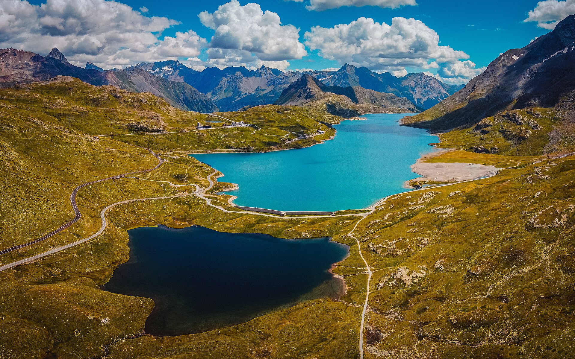
A legendary high-alpine descent following the UNESCO World Heritage Bernina railway line from the windswept summit of Bernina Pass down through wildflower meadows, ancient pine forests, and Italian-speaking Val Poschiavo toward Poschiavo village. The trail runs alongside shimmering glacial lakes like Lago Bianco and Lej Nair before plunging into the dramatic Val di Campo gorge, offering unparalleled views of the Palü Glacier and ice fields.
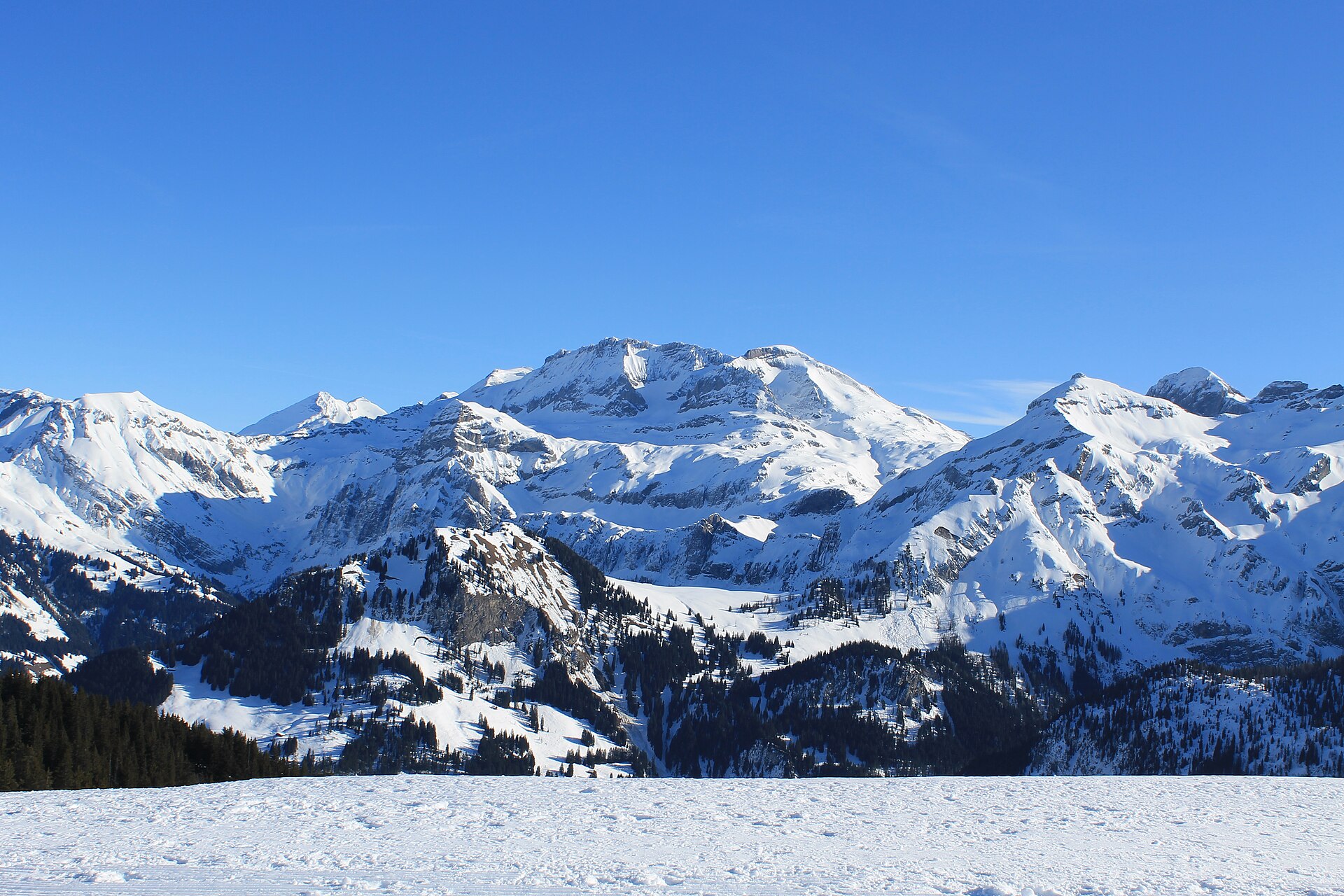
A gondola, a broad alp and a view of the Wildstrubel glaciers.
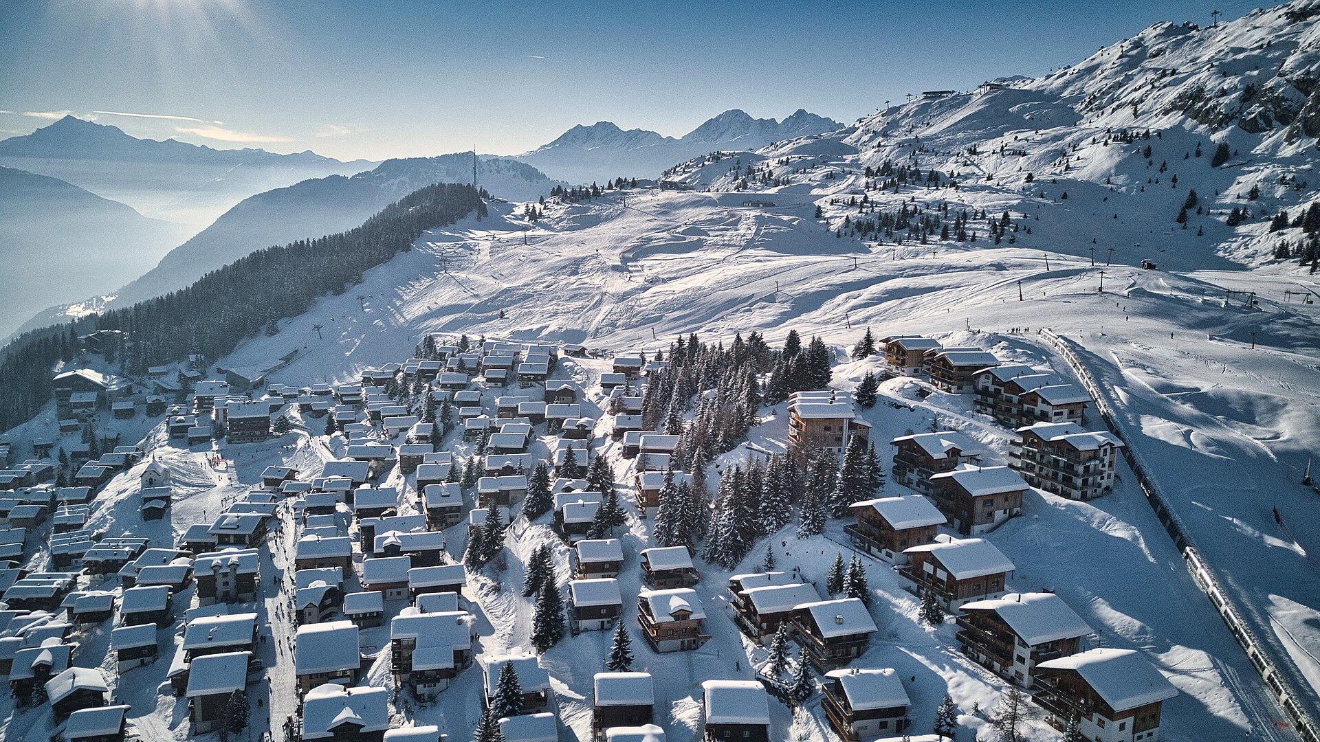
Two small lakes on a car-free terrace, with the Matterhorn and the Aletsch glacier in view.
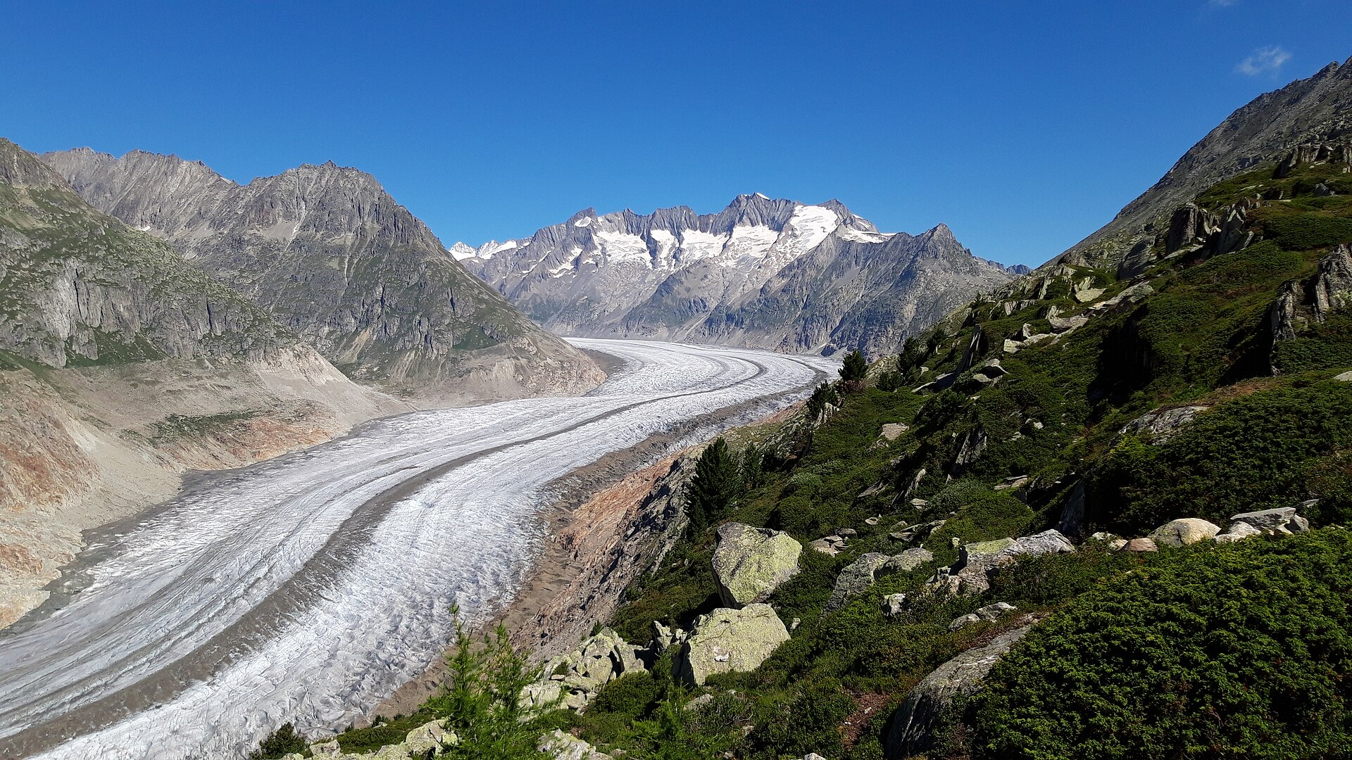
A breathtaking high-alpine ridge walk perched directly above the majestic Great Aletsch Glacier, Europe's longest ice river. Starting from the Bettmerhorn station at 2,647 m, the trail winds along engineered rocky paths and balcony trails offering close-up, dramatic perspectives of the ice serpent flanked by the Valais 4,000-meter peaks including the Matterhorn, Finsteraarhorn, and Weisshorn. This route combines supreme safety with world-class glacial panoramas.
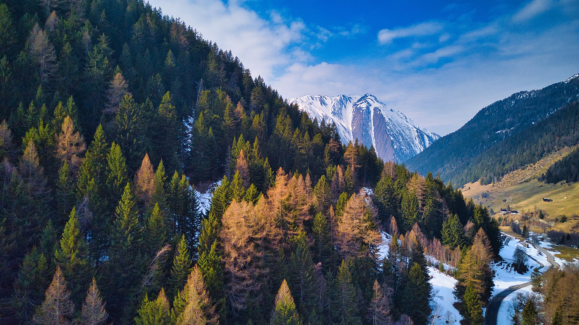
A hidden valley known for its crystals and its quiet.
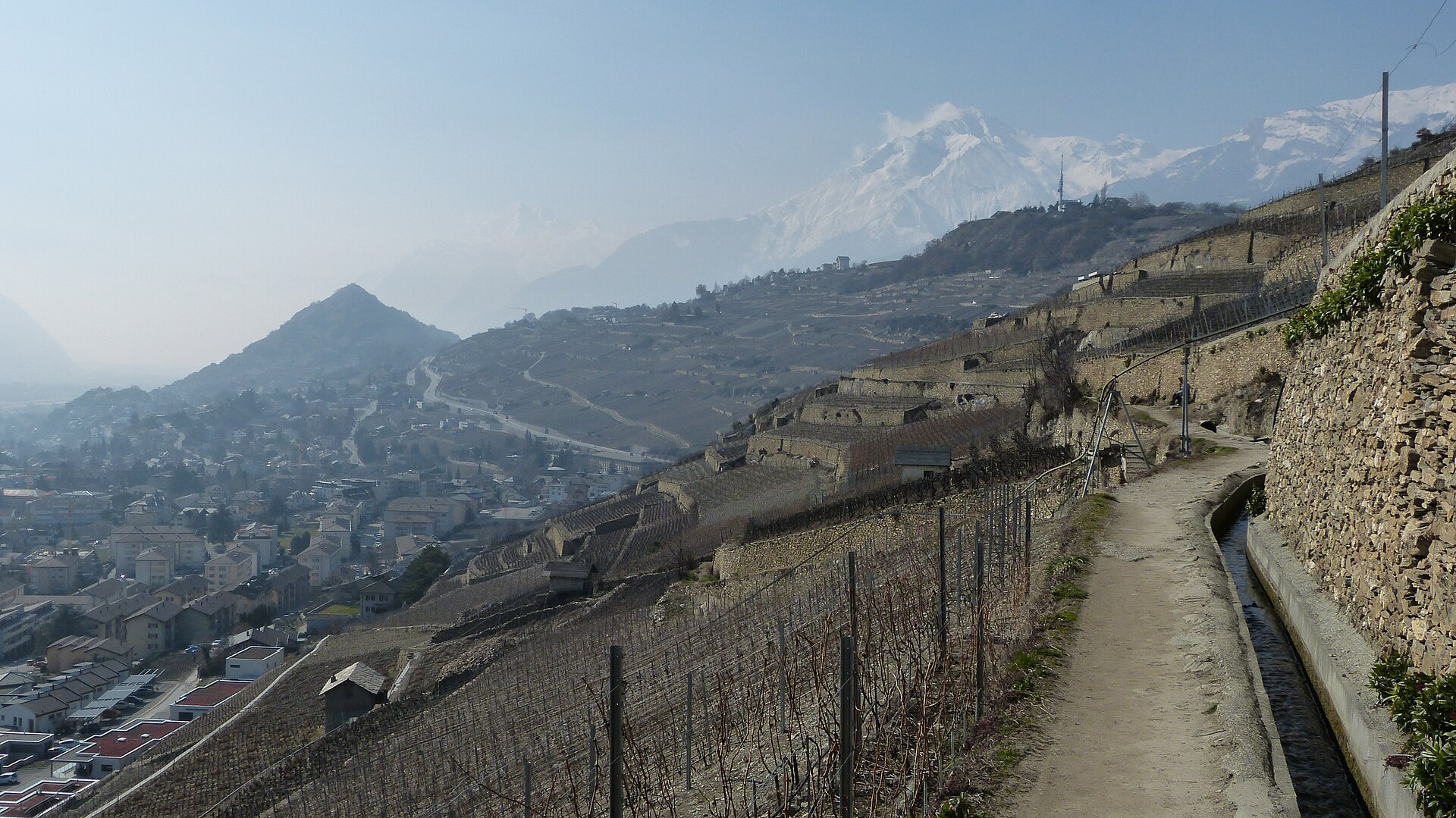
A level channel path through the vineyards, with two castles above.
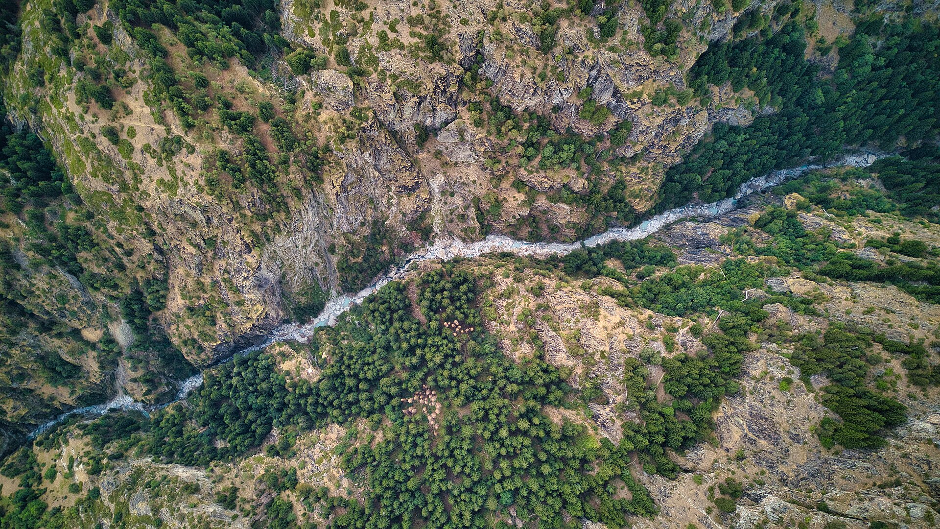
A scenic and historic valley-to-mountain ascent linking the sun-drenched village of Blatten bei Naters with the lower gorge approaches leading up toward Belalp. The trail winds through fragrant pine forests, historic Valais hamlets, and across rushing glacial meltwater streams along the Massa Gorge. It serves as a wonderful alternative or precursor to the high-alpine suspension bridge routes in the region.
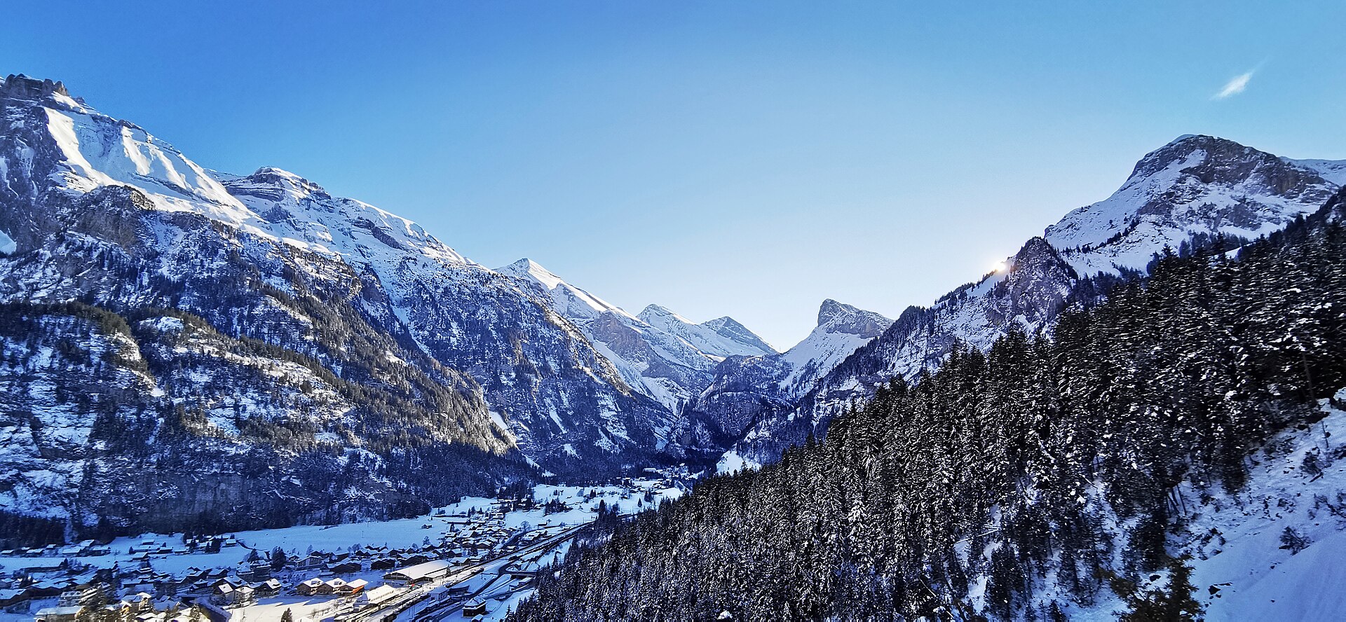
A small lake so clear that the fallen tree trunks look gilded.
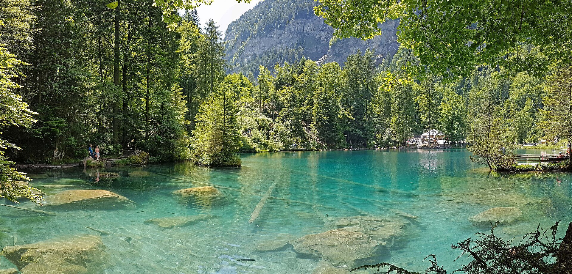
A peaceful and lesser-known hillside terrace trail linking the famous Blausee nature park area with the historic mountain settlement of Mitholz in the upper Kander Valley. Winding through quiet pine forests, high-altitude dairy pastures, and rocky outcroppings, the route offers gorgeous panoramic views across the Kander river gorge and up toward the snow-clad peaks of the Blüemlisalp massif.
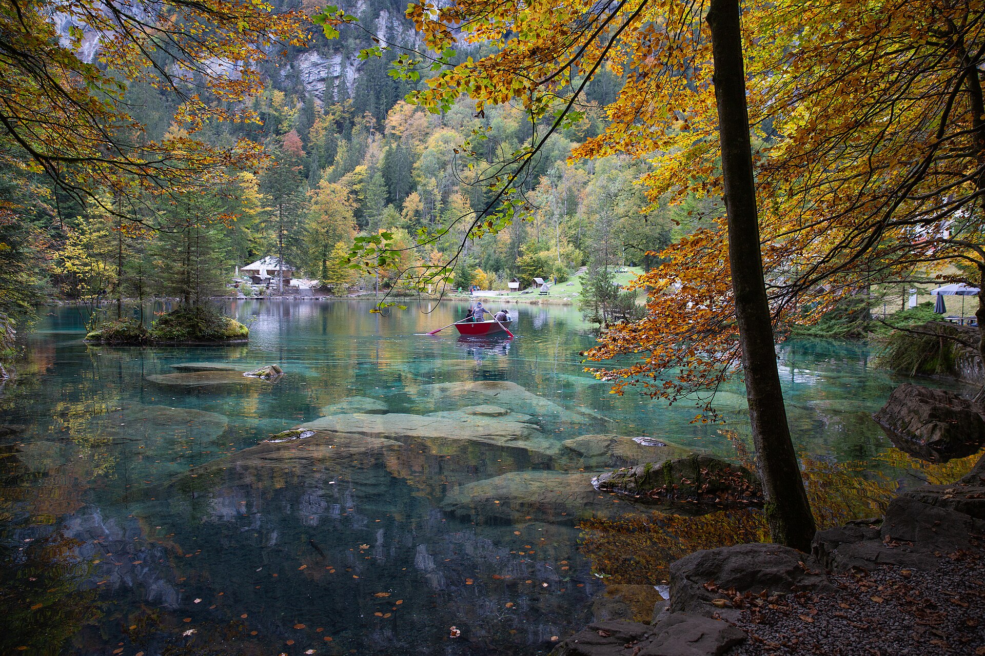
An enchanting, fairy-tale valley walk encircling the world-famous crystal-clear blue waters of Lake Blausee (Blausee), set inside a 20-hectare forested nature park in the Kander Valley. Fed by underground springs from the Bernese Alps, the lake is renowned for its mesmerizing turquoise purity, organic trout farming, moss-covered boulders, and winding walking paths shaded by ancient beech and fir trees.
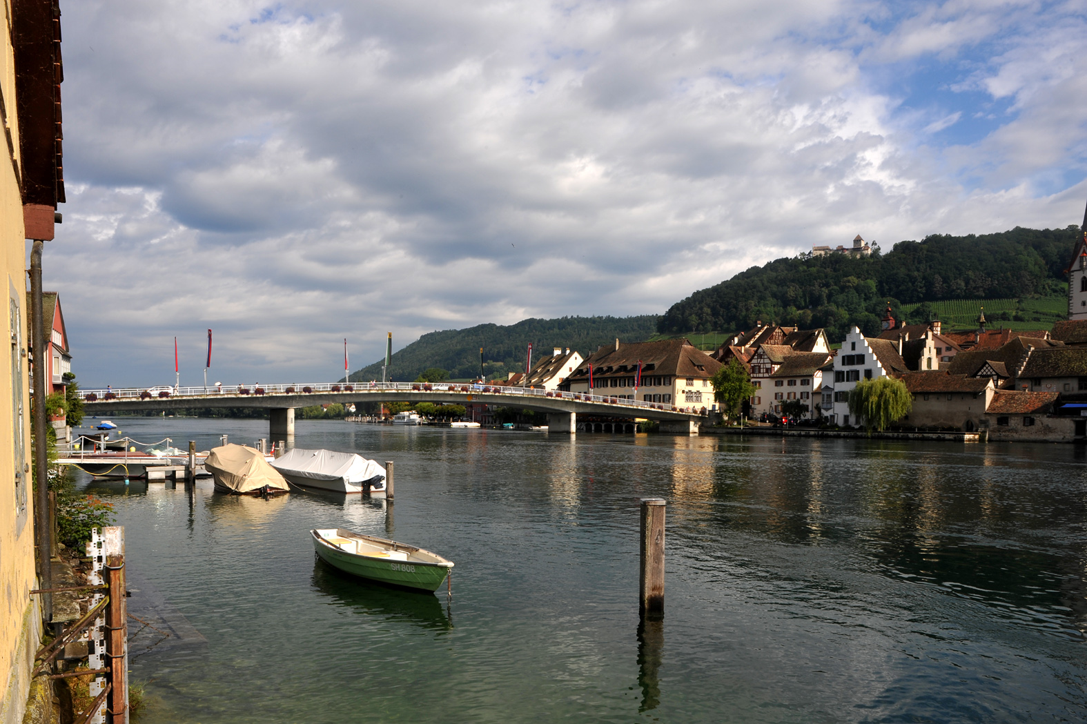
A magnificent and completely flat lakeside promenade walk following the southern shore of Lake Constance (Bodensee) from the bustling harbor town of Romanshorn to the historic lakeside resort of Rorschach. The trail meanders past picturesque marinas, apple orchards, pebble beaches, nature reserves, and elegant lakeside villas with uninterrupted views across the vast inland sea toward Germany and Austria.
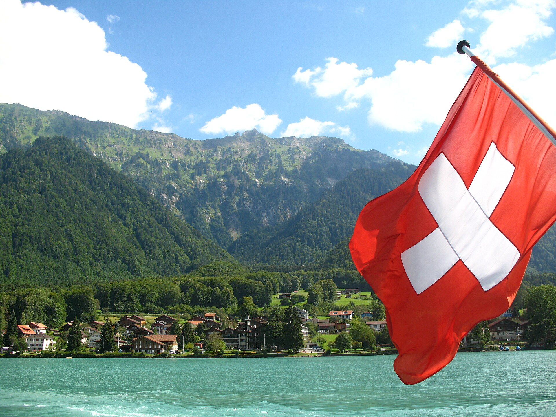
A turquoise lake path, small beaches and a village on a peninsula.
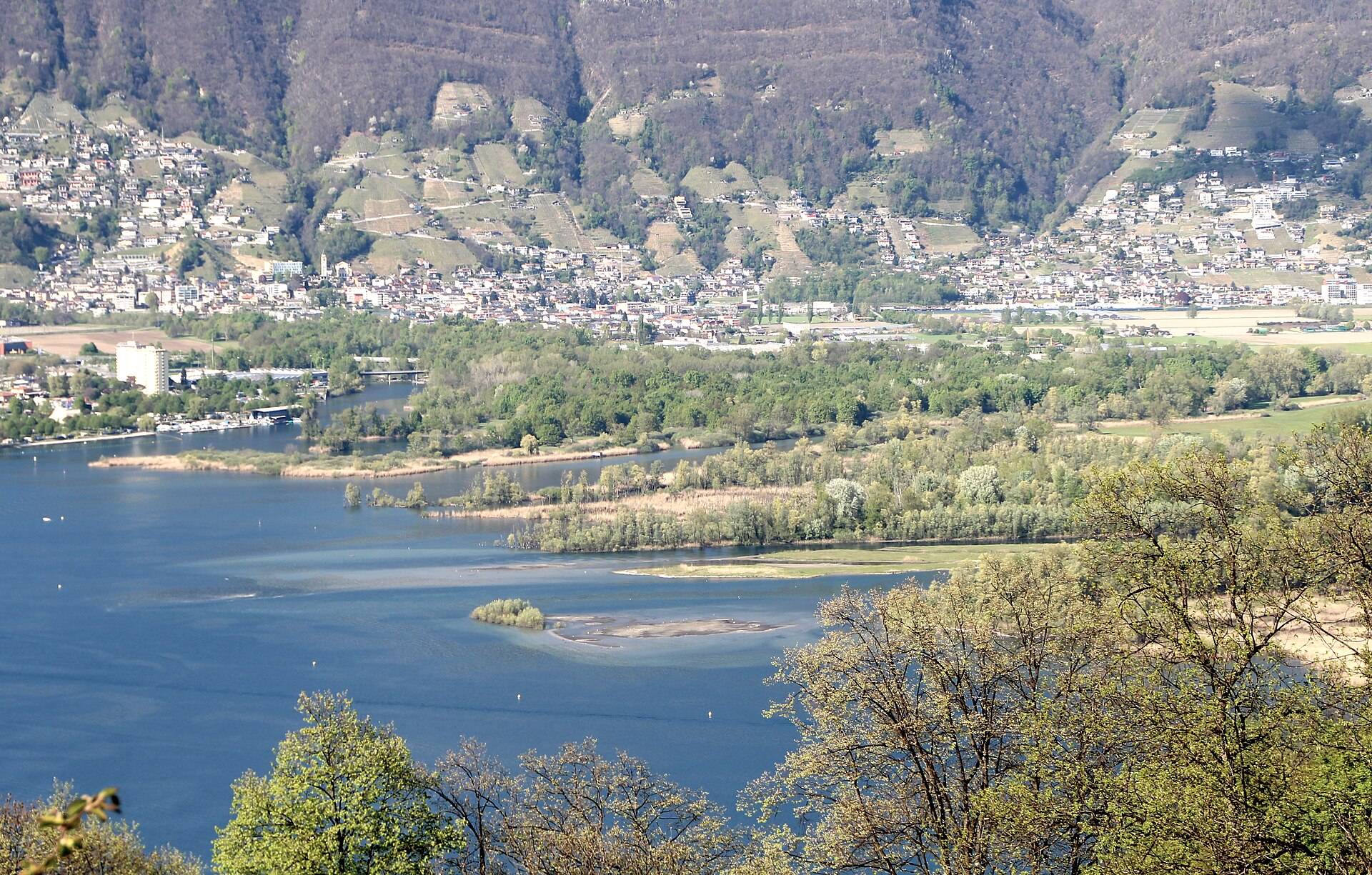
The largest wetland in Ticino, where the Ticino river meets Lake Maggiore.
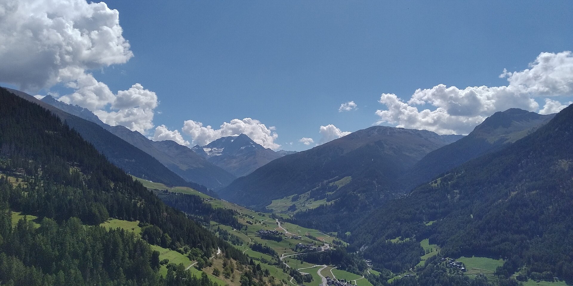
A legendary historic pilgrim and Roman mule track following the ancient Napoleonic route up the Val d'Entremont from the historic stone village of Bourg-St-Pierre to the legendary Great St. Bernard Pass (Col du Grand-Saint-Bernard) at the Italian border. The trail winds past rushing mountain torrents, high-alpine boulder fields, and alpine pastures where the world-famous Saint Bernard hospice dogs originated, culminating at the historic pass hospice situated beside a deep alpine lake.
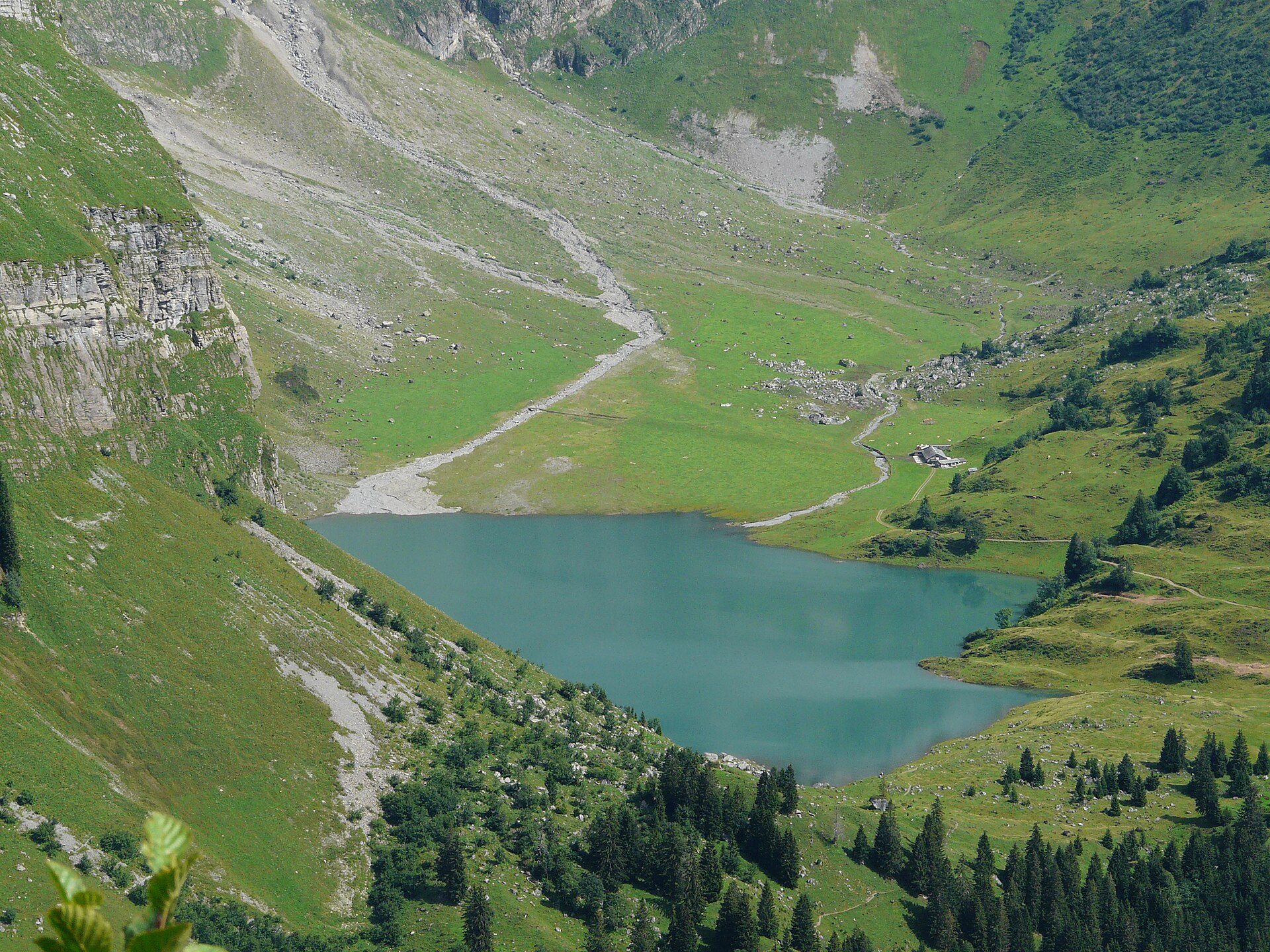
A car-free mountain terrace village and a high lake under limestone walls.
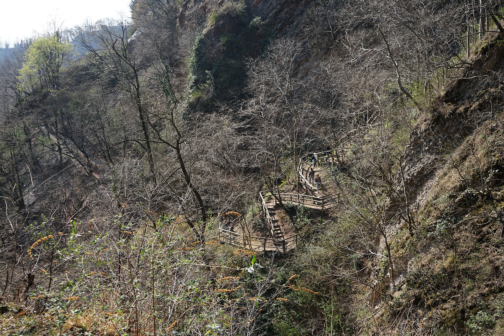
A gorge that shows 200 million years of rock, and the ruins of a cement works.
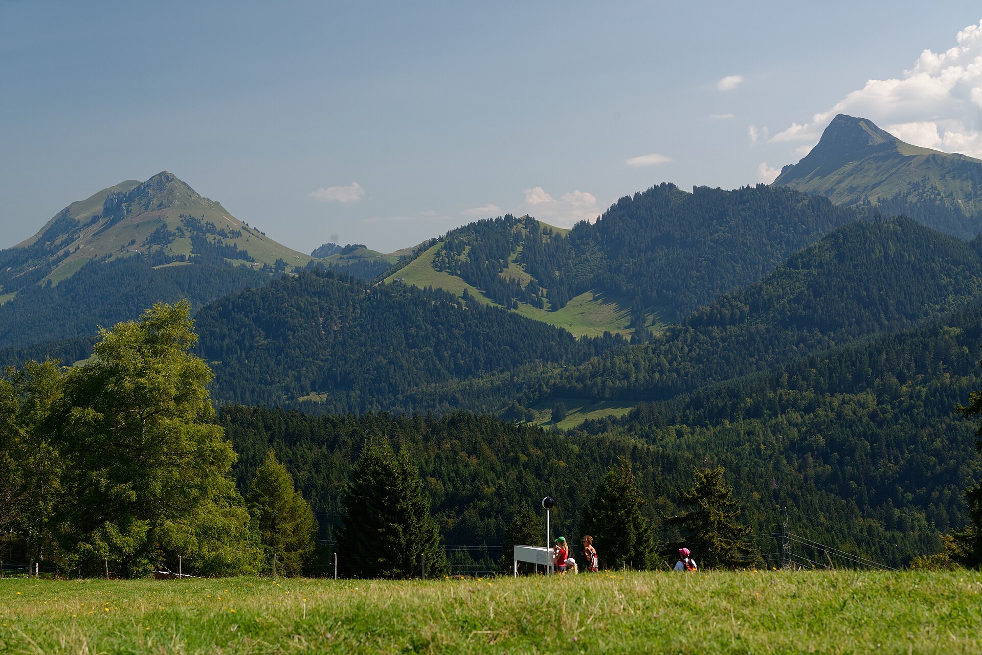
A magnificent sun-drenched pre-Alpine ridge trail linking the picturesque hillside village of Brent (above Montreux) with the panoramic summit plateau of Les Pléiades. Winding through blooming narcissus meadows, fragrant pine groves, and rolling dairy pastures, the trail offers breathtaking, wide-open vistas looking down across Lake Geneva (Lac Léman) toward the French Alps and the towering peaks of the Valais.
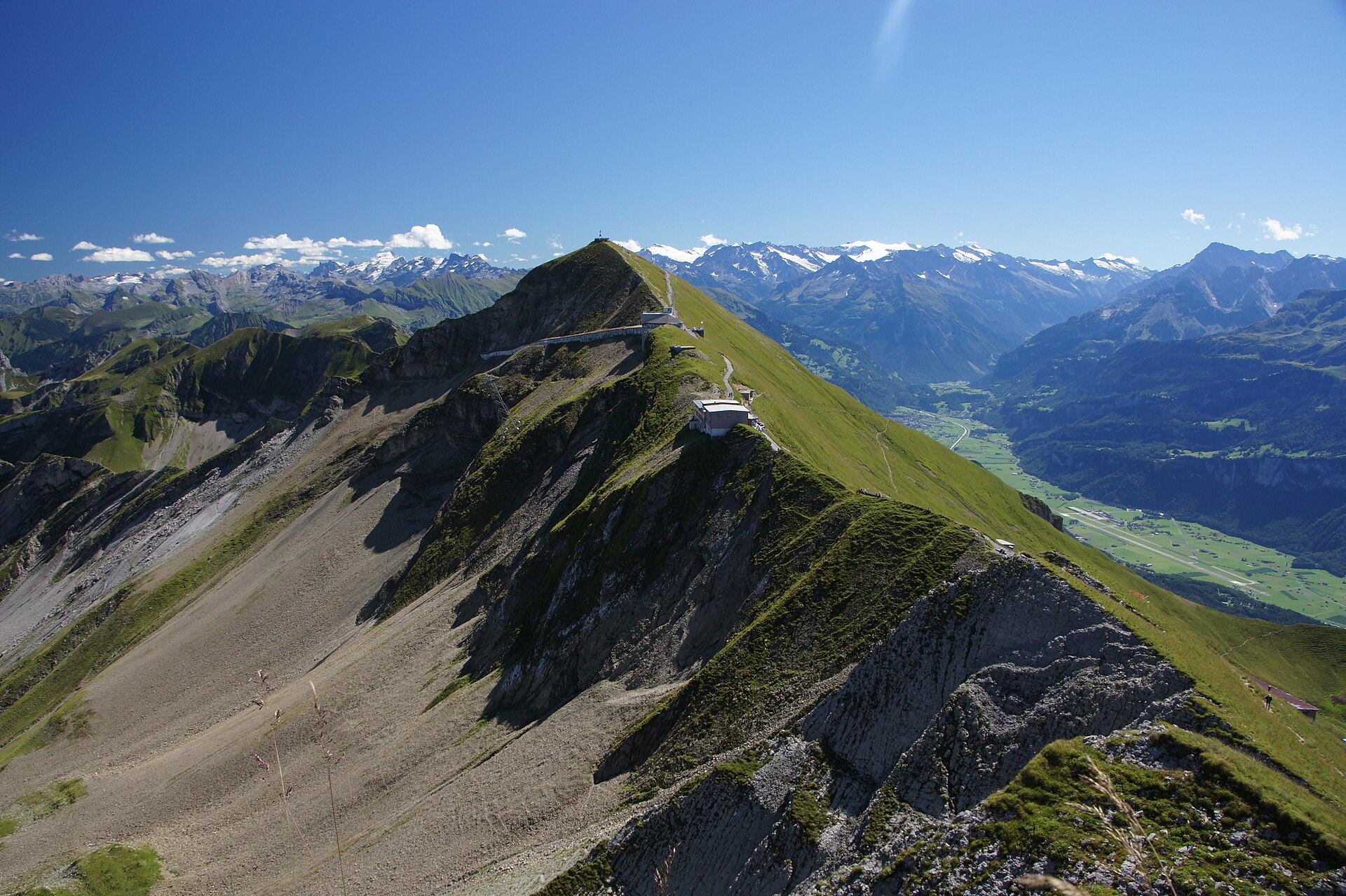
A legendary and breathtaking high-alpine ridge traverse leading to the summit of the Brienzer Rothorn (2,350 m), the highest peak in Canton Lucerne. Famous for its historic red steam cog railway chugging up from Brienz, the trail tracks along a dramatic limestone ridge offering panoramic 360-degree views stretching across Lake Brienz, the Emmental hills, and the titanic snow-capped summits of the Bernese Alps (Eiger, Mönch, Jungfrau).
Ride a steam railway to the top, then walk the ridge with Lake Brienz below.
A rocky summit above Lake Lucerne, reached through a pilgrimage village.
A stunning and historic cliffside balcony trail running high above the deep blue waters of Lake Uri (Urnersee, the southern arm of Lake Lucerne) between Brüggli and Sisikon. Walking along parts of the historic Swiss Path (Weg der Schweiz), the route hugs sheer limestone cliff walls and ancient chestnut groves, offering magnificent fjord-like views across the lake toward the Rütli meadow and Schillerstein monument.
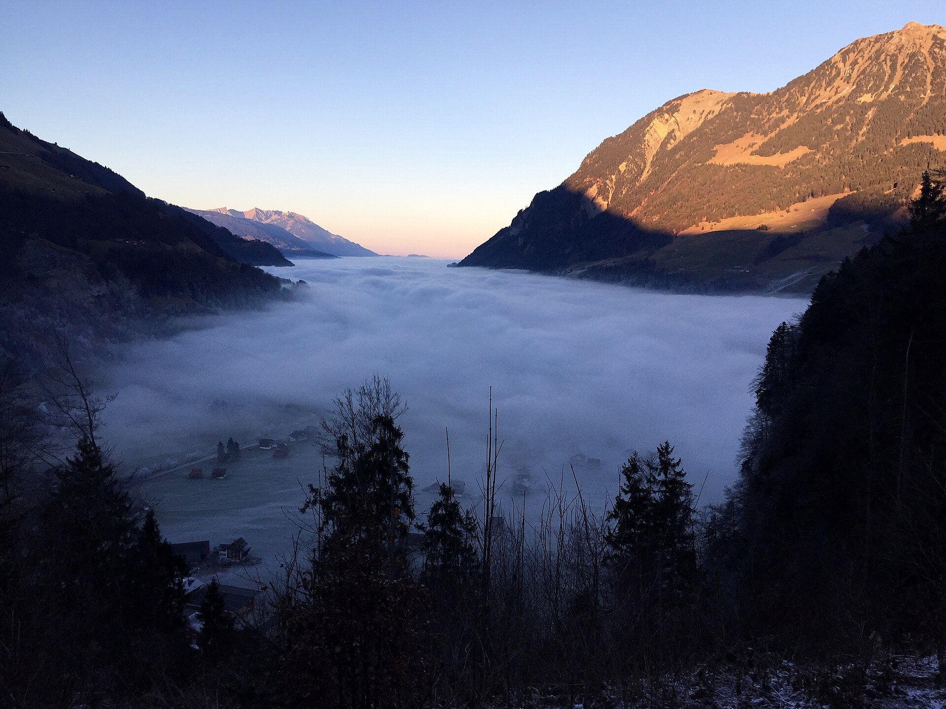
A delightful and scenic downhill hiking trail linking the historic Brünig Pass with the turquoise-blue shores of Lake Lungern (Lungerersee). Winding through fragrant pine forests, historic alpine hamlets, and sun-drenched dairy meadows, the route offers gorgeous downward vistas across the Lungern valley basin and the surrounding Central Swiss pre-Alps.
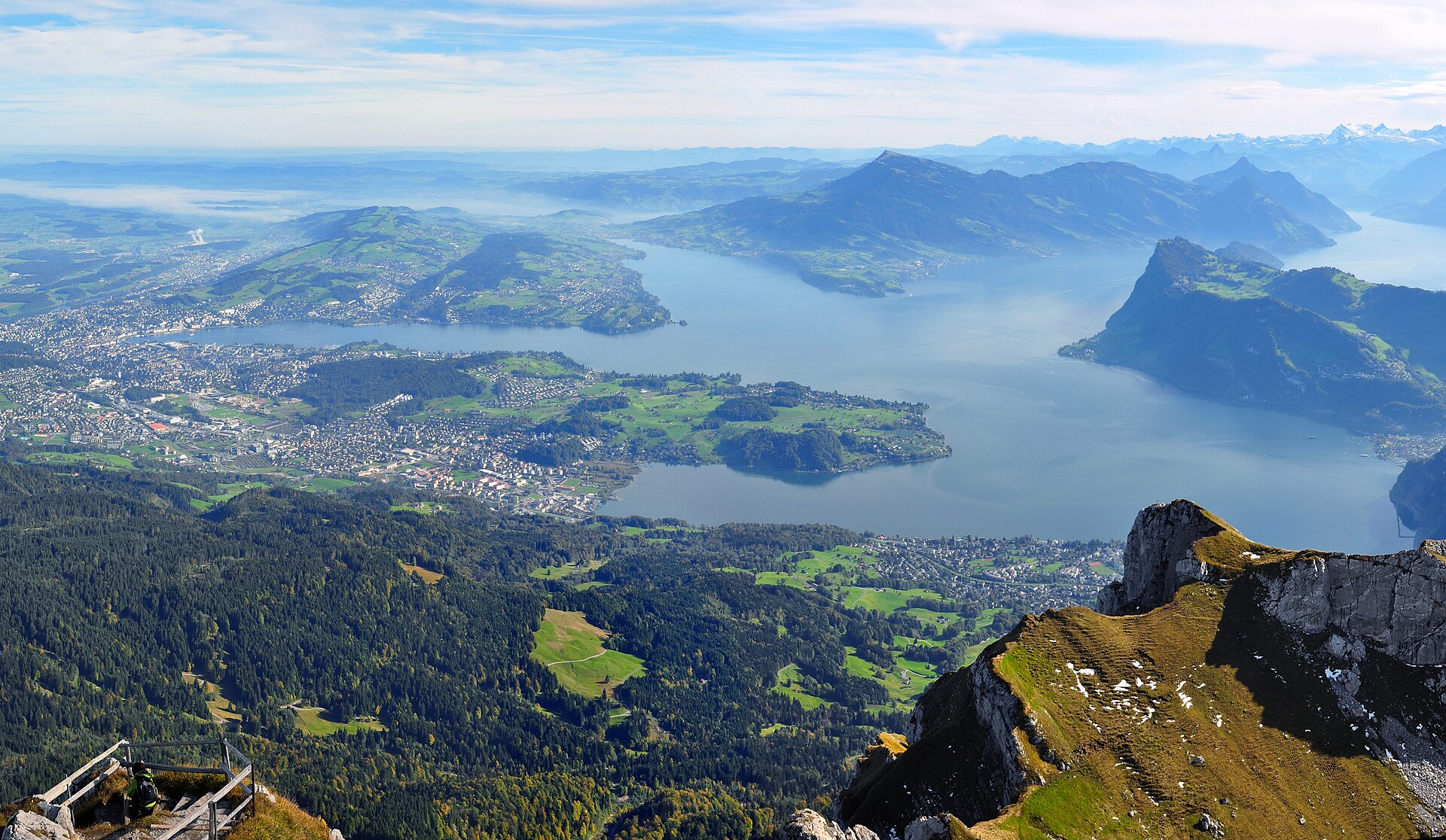
A magnificent classic Swiss trail combining a historic lakeside approach with a breathtaking mountain ascent from the lakeside town of Brunnen up to the iconic summit of Rigi Kulm (1,797 m). Winding past historic Swiss Confederation sites along Lake Lucerne, pastoral dairy farms, and steep grassy ridge balconies, the route offers unmatched panoramic views across the azure waters of Lake Lucerne and the snow-capped Central Swiss Alps.
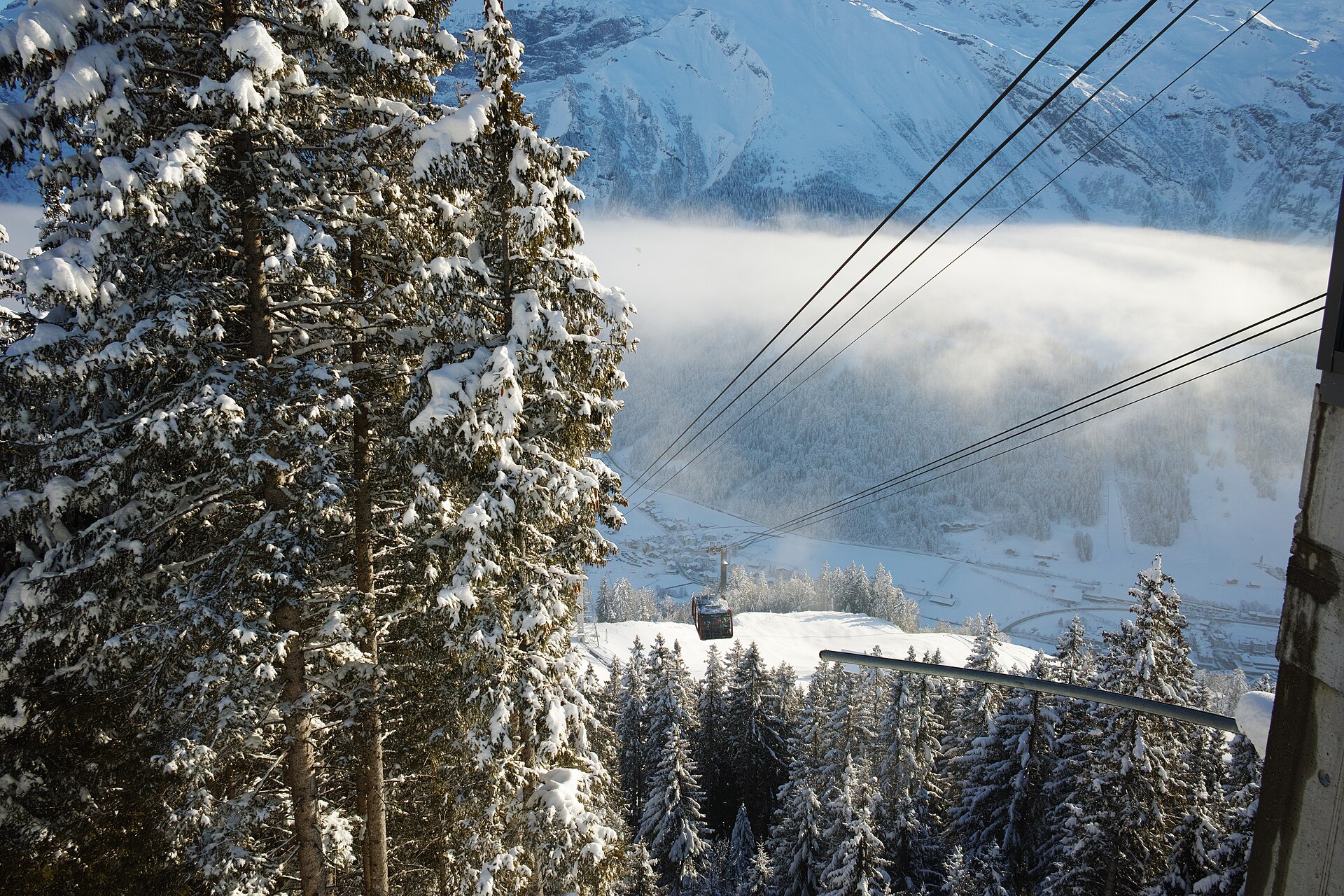
A sun-drenched, family-friendly panoramic trail perched on the south-facing sunny terrace of Engelberg (Brunni). Known as Engelberg's sunny side, the route connects the Brunni alpine station with Ristis, winding past fragrant pine forests, sparkling mountain tarns (Henniboden), and open dairy pastures with monumental, uninterrupted views of Titlis and the towering limestone rock faces of the Uri Alps.
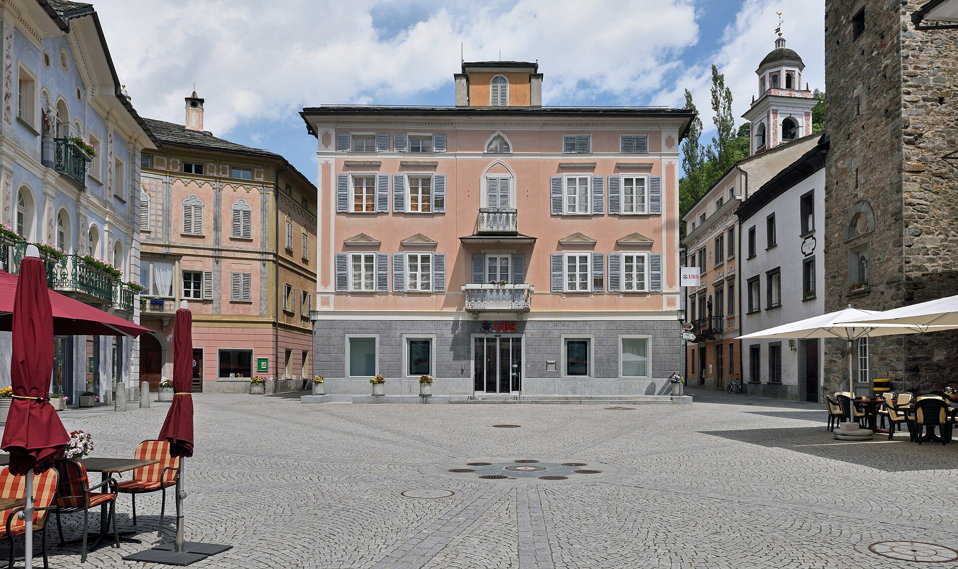
A railway viaduct in a perfect circle, and a lake with an Italian feel.
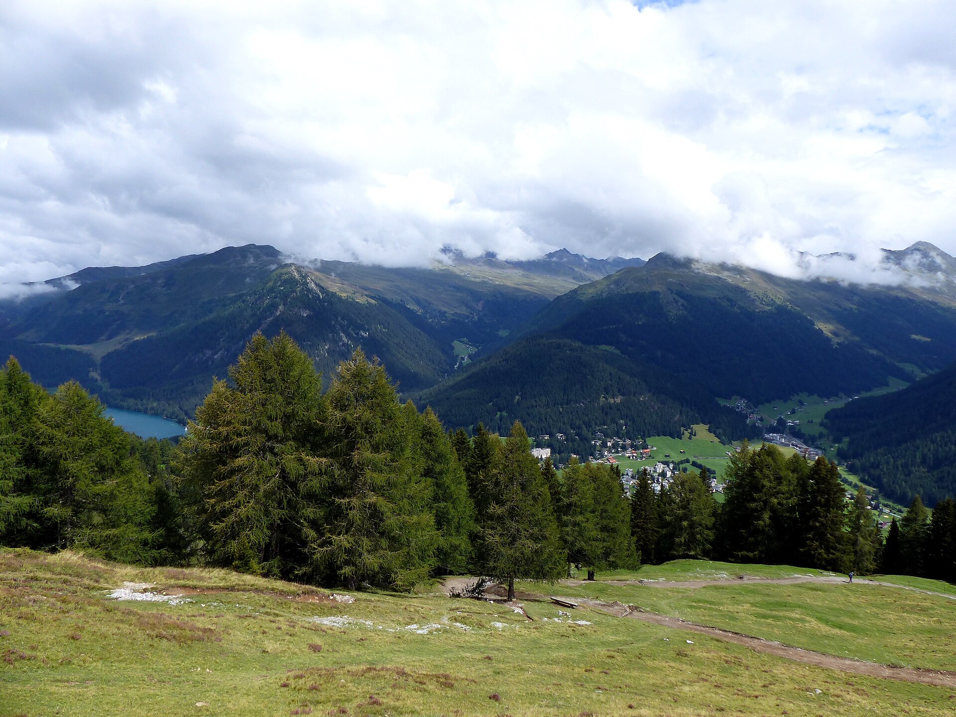
A magnificent and challenging high-alpine ridge traverse ascending toward the summit of Büelhorn (2,798 m) high above the Davos valley. Starting from the Sertig Valley or Parsenn regions, the route winds through ancient pine forests, high-altitude alpine scree fields, and wide ridge saddles offering staggering panoramic views across the Graubünden Alps, Silvretta group, and down into the lush Sertig stream valley.
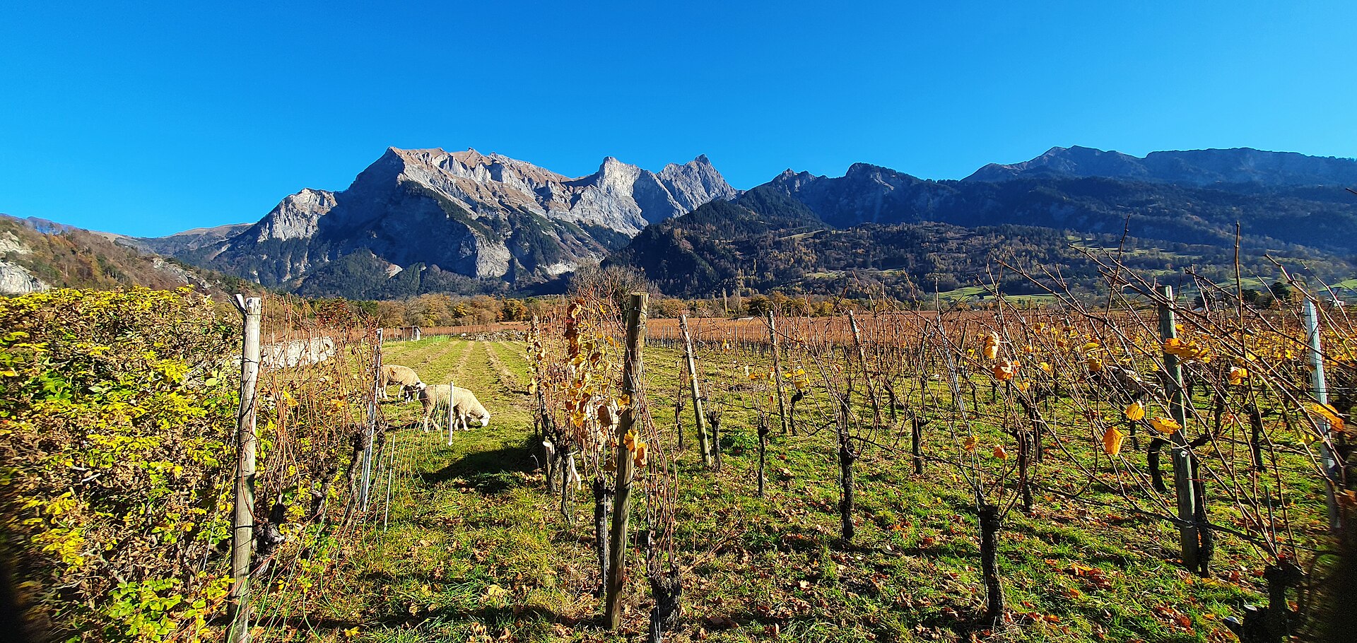
A world-class wine and heritage trail winding through the sun-drenched terraced vineyards of the Bündner Herrschaft, Switzerland's premier Pinot Noir region. Starting from the picturesque wine village of Fläsch and passing through Maienfeld (famed as the home of Johanna Spyri's Heidi), the route meanders past rows of heavily laden grapevines, historic wine cellars, orchards, and limestone rock faces set against the majestic Rhine Valley backdrop.
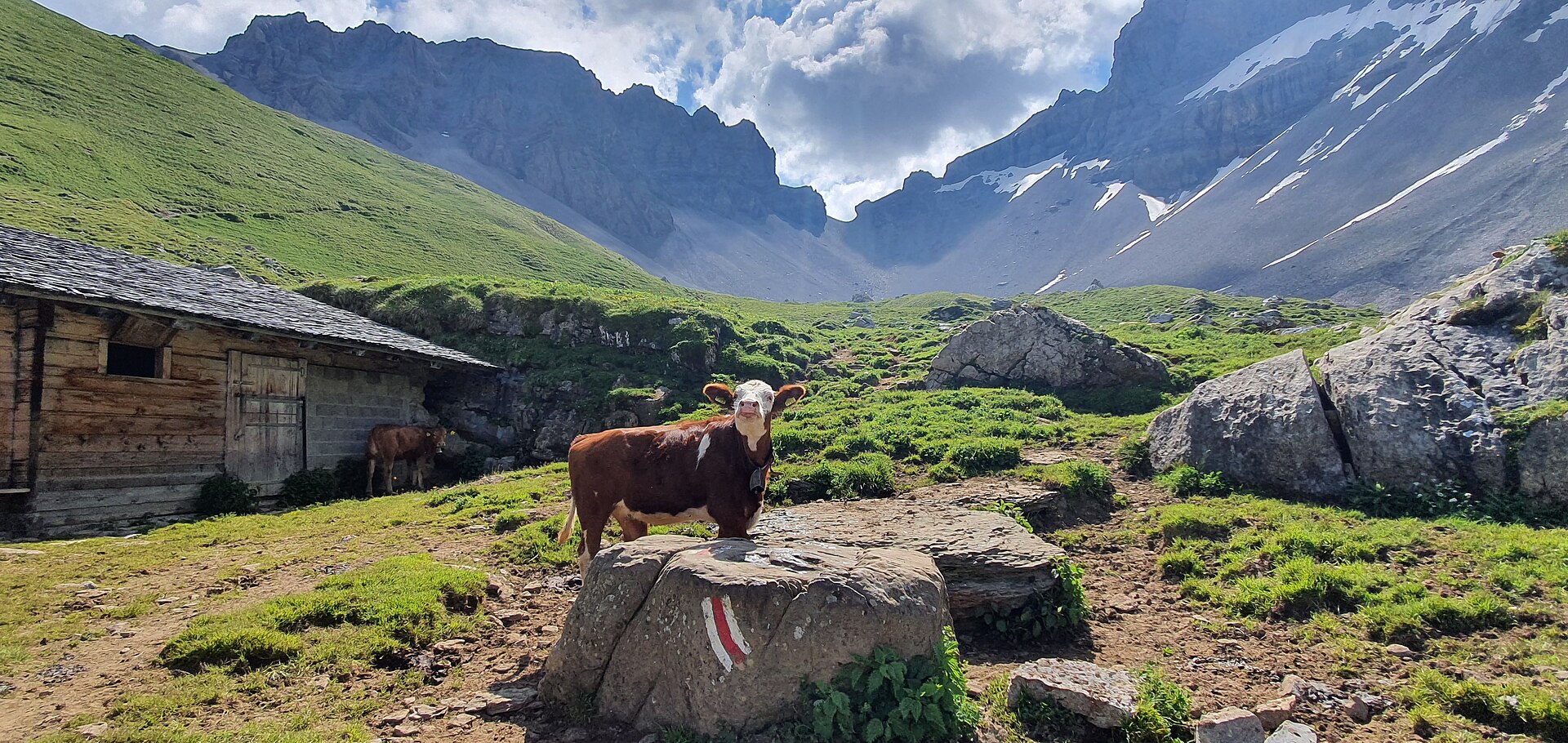
A high pass crossing with a rocky cleft, between two valleys.
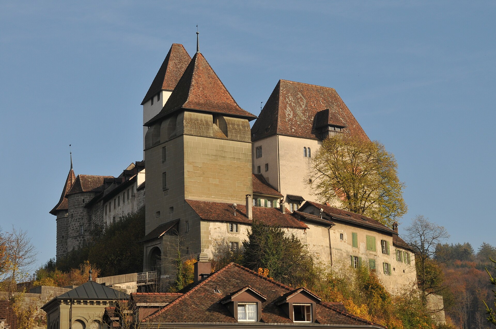
A town of stairs and arcades, with a castle above and a river path below.
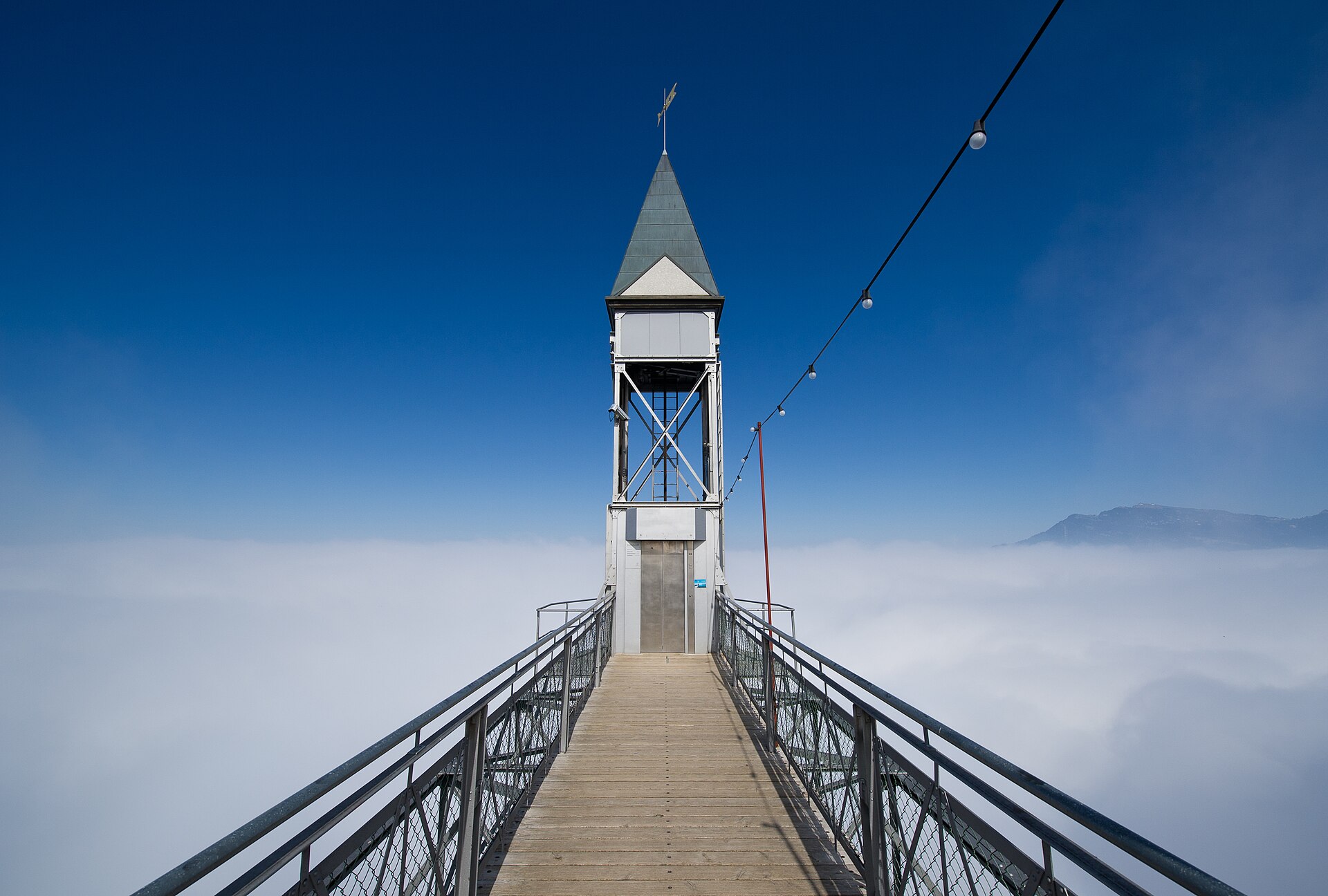
A path blasted into the cliff, a lift that climbs 150 metres and the best viewpoint over Lake Lucerne.
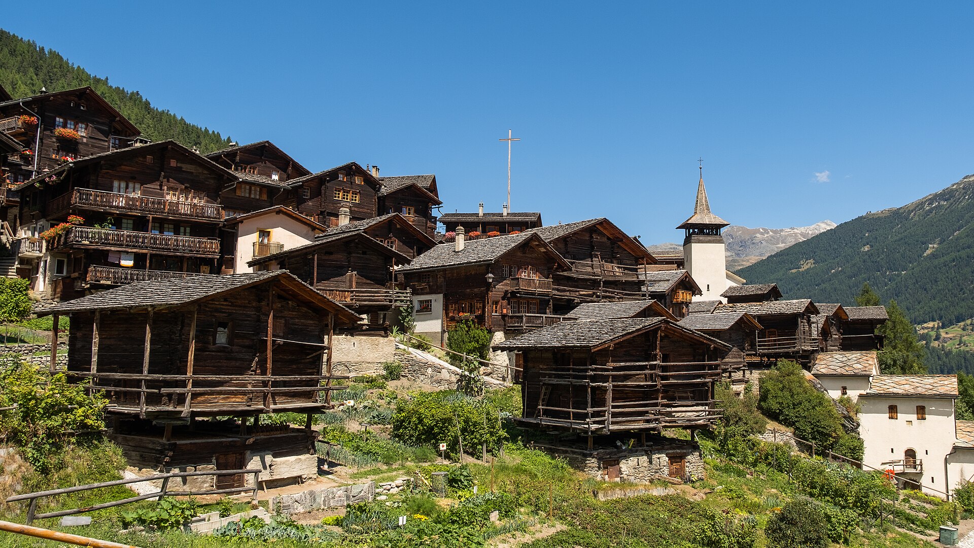
An 8 km return climb from the Lac de Moiry dam to a mountain hut at 2,825 m beside the glacier.
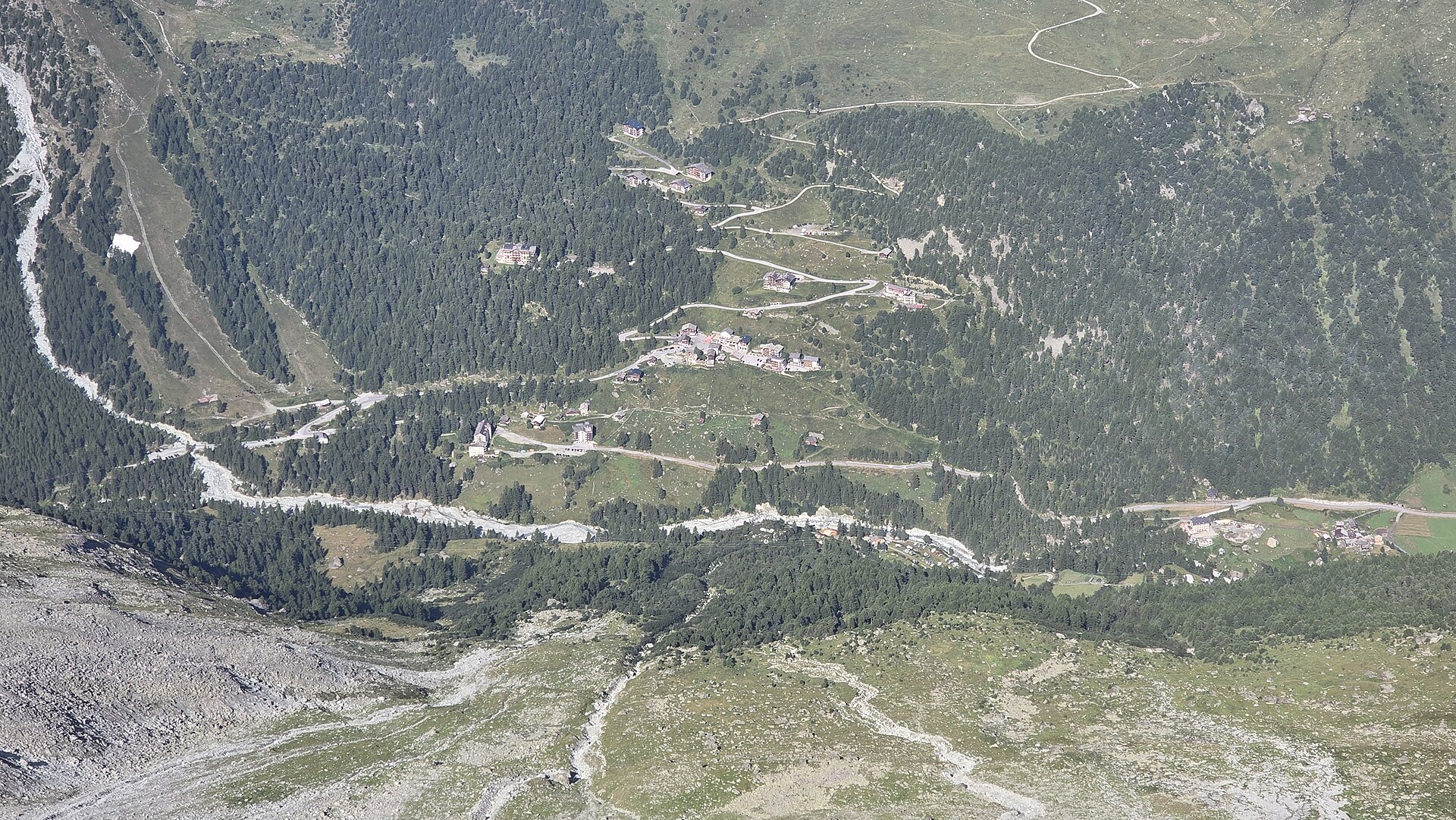
Two ladders on a rock wall, then a glacier hut under Mont Blanc de Cheilon.
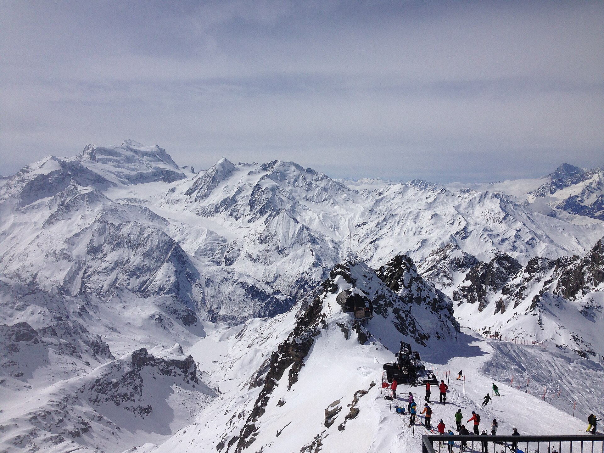
A premier high-altitude balcony hike traversing the sun-drenched upper terrace of Verbier and the 4 Vallées. Starting from Les Ruinettes cable car station, the route leads past the historic Cabane du Mont Fort SAC mountain refuge before contouring along dramatic limestone ridges and glacier-carved basins toward La Chaux. Walkers enjoy uninterrupted, front-row panoramas of the Grand Combin, Mont Blanc massif, and the deep Bagnes valley floor.
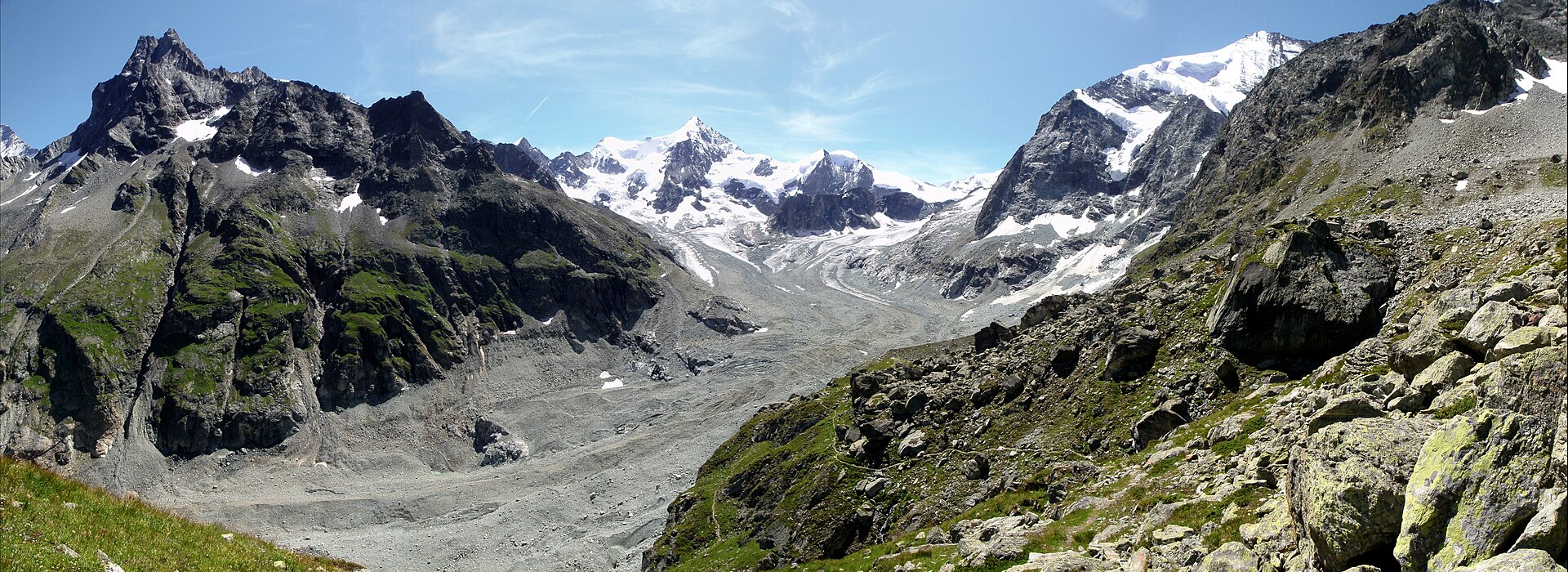
A hut at the edge of the Zinal glacier, reached in under two hours.
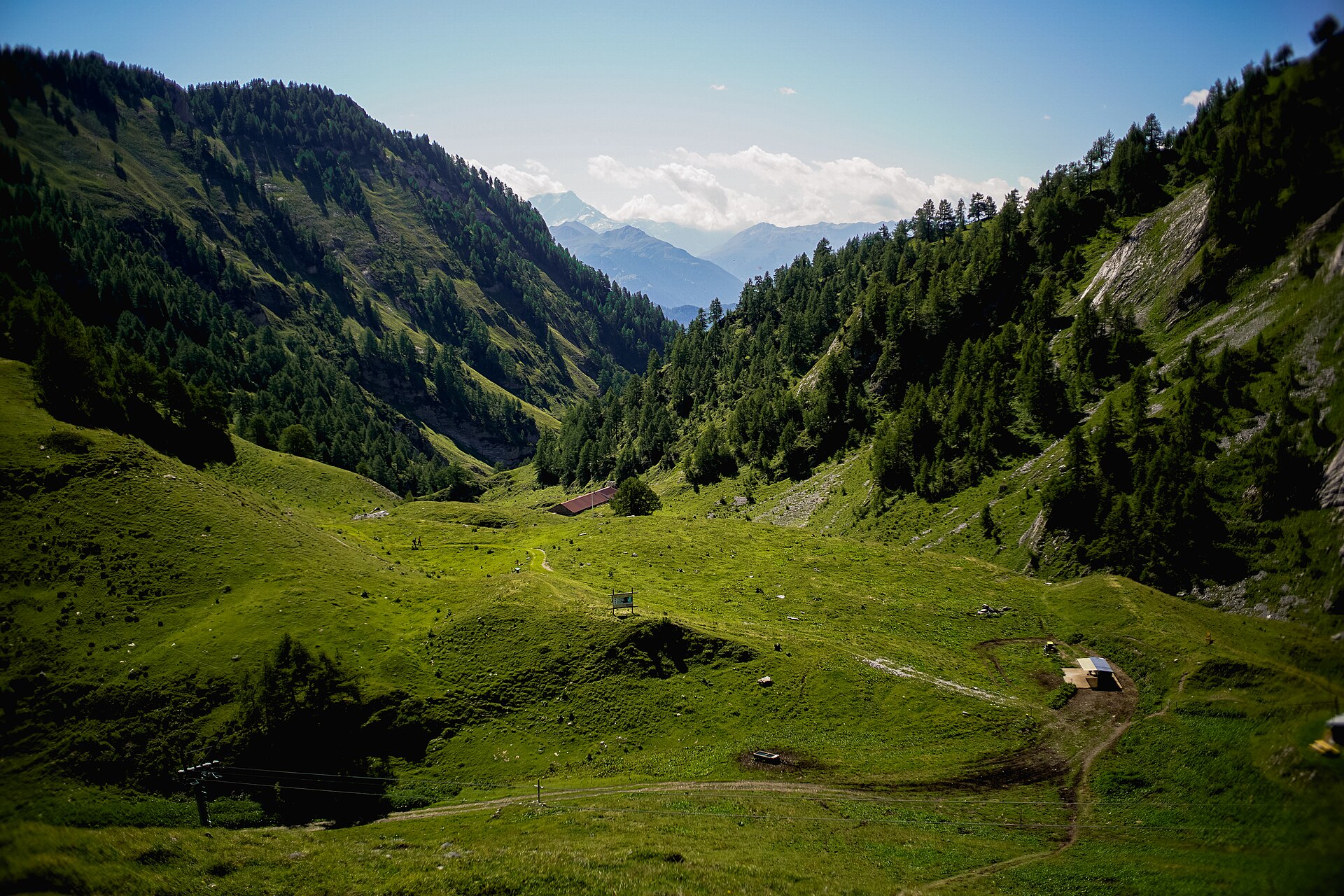
A hut under the Grand Muveran, with a thermal village at the foot of the mountain.
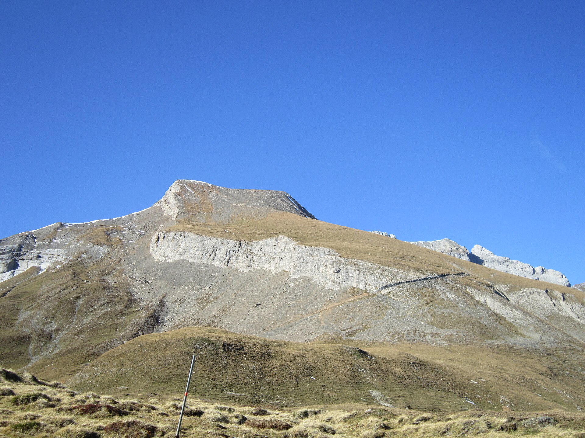
A legendary high-alpine ridge ascent traversing the iconic Calanda massif (Haldensteiner Calanda, 2,805 m) towering above the Rhine Valley and the historic city of Chur. Starting from Vättis in the Tamina Valley, the trail climbs steeply through pine forests, alpine scree, and limestone karst terraces to the Calandahütte SAC before reaching the summit cross. Hikers are rewarded with sweeping 360-degree vistas stretching across the Grisons Alps, Glarus Alps, and the Liechtenstein border mountains.
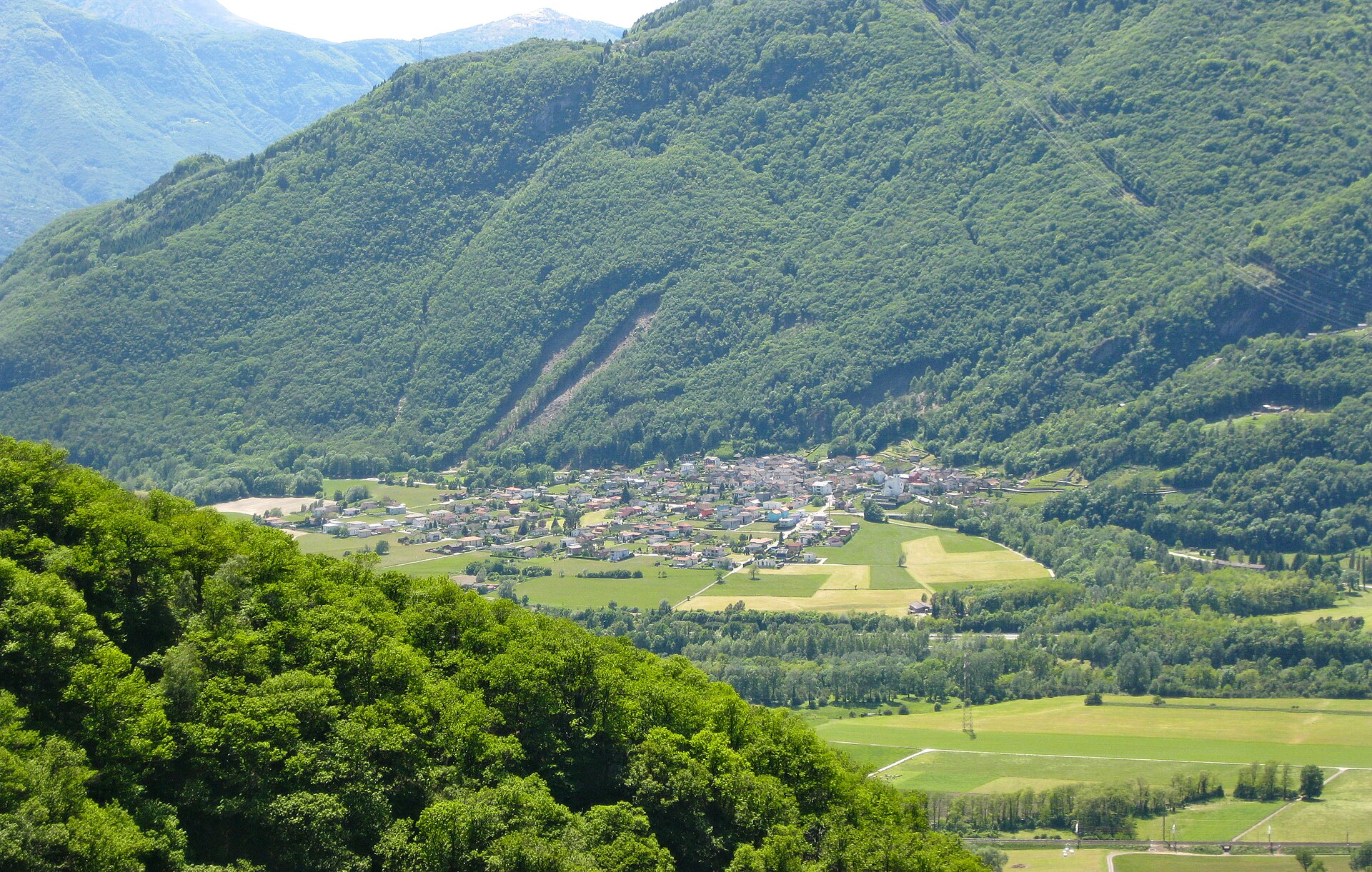
An easy 5 km ridge walk above Locarno, from Cardada to Cimetta at 1,671 m, with Lake Maggiore filling the view.
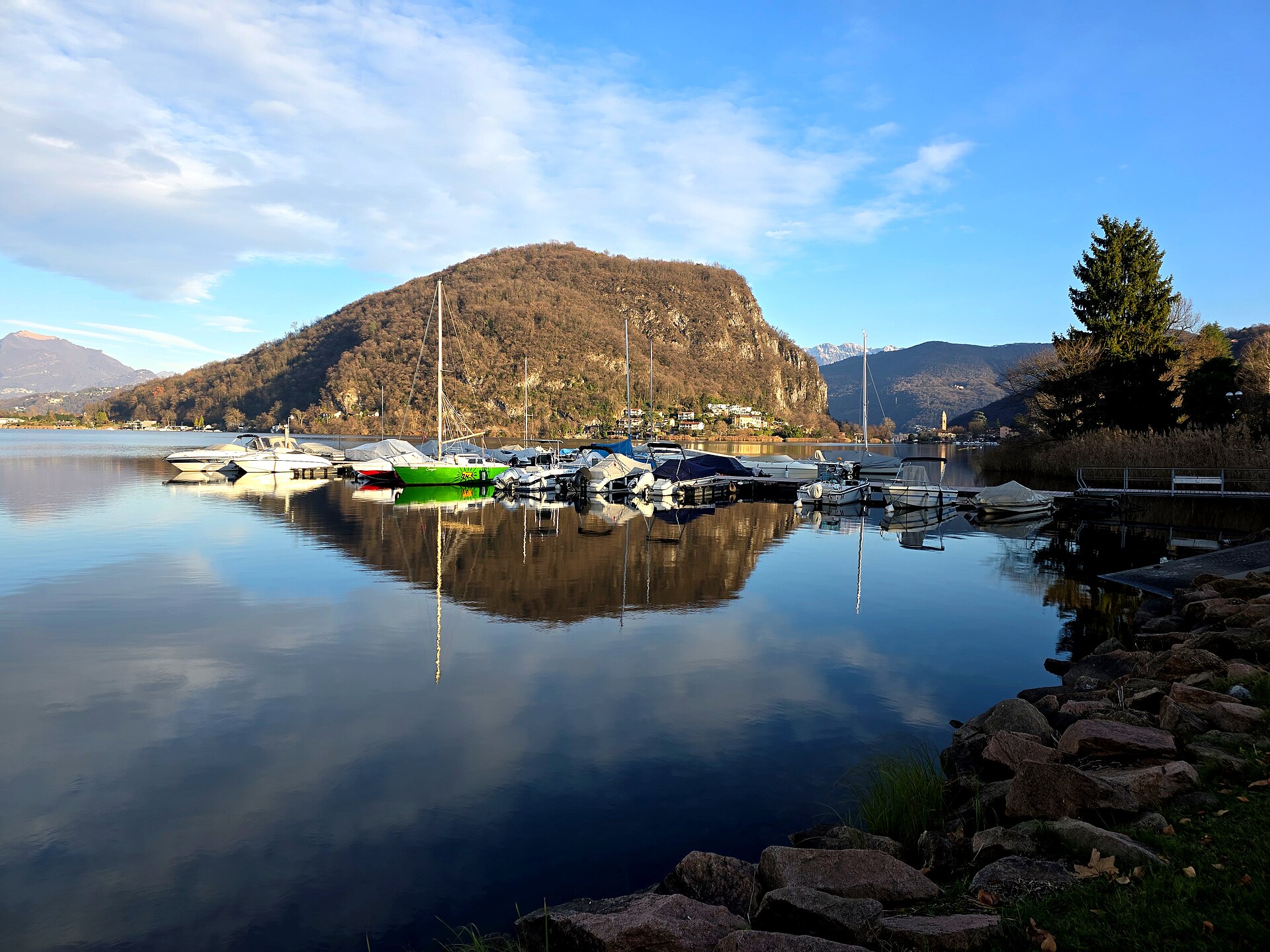
A quiet lake path in the Malcantone, ending at the Italian border.
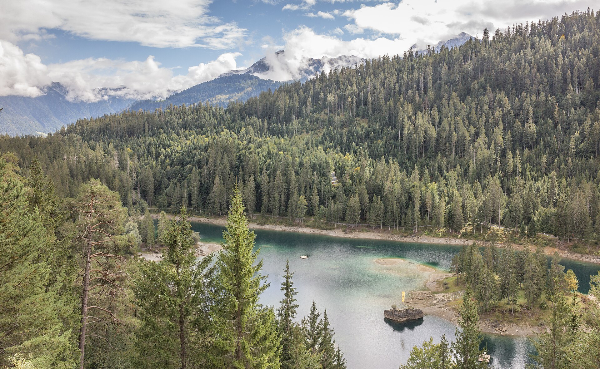
An easy 6 km forest walk between two turquoise lakes near Flims, formed by the largest known rockslide in the Alps.
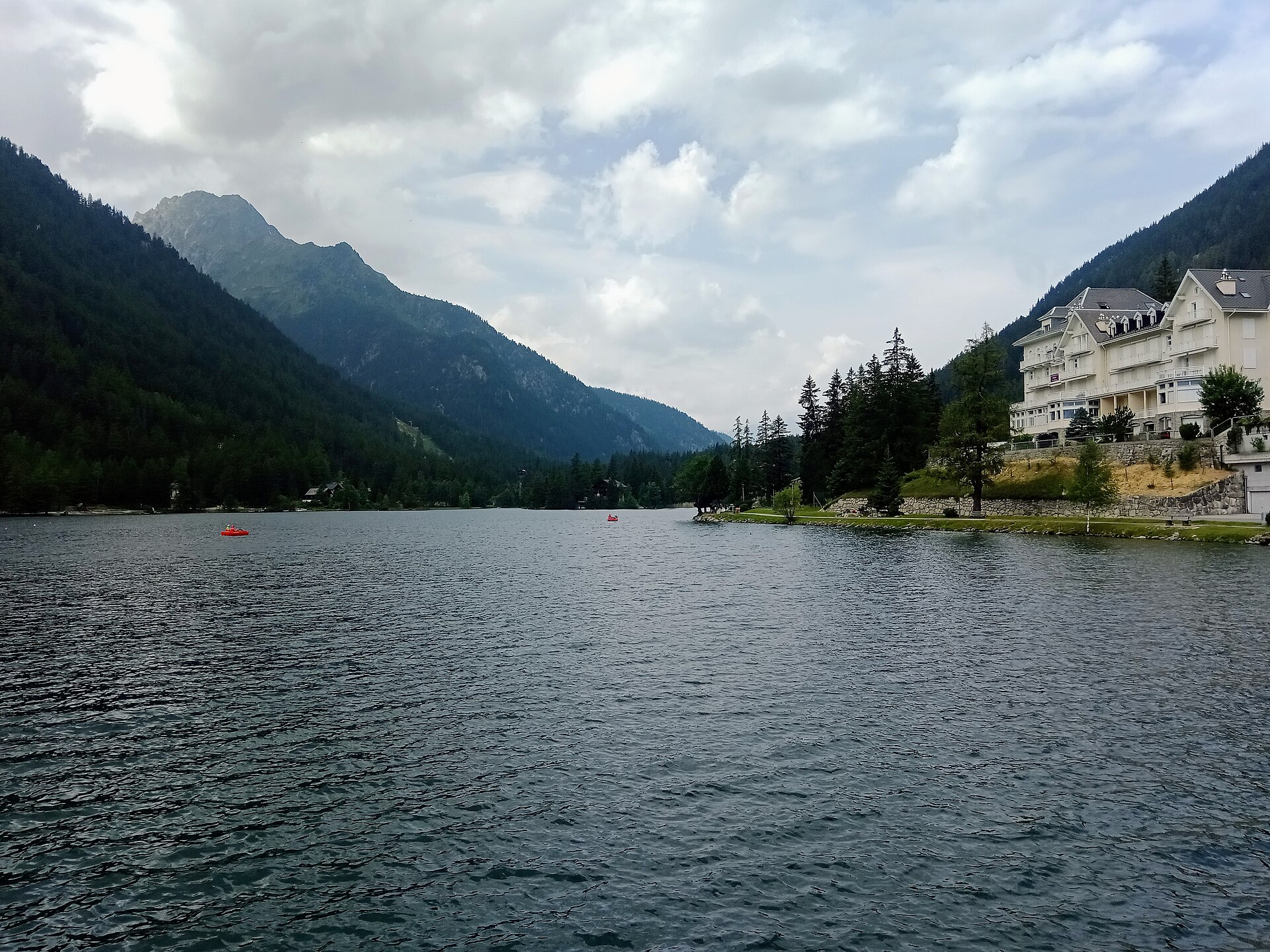
A lake in a fir forest, with an alpine garden above it.
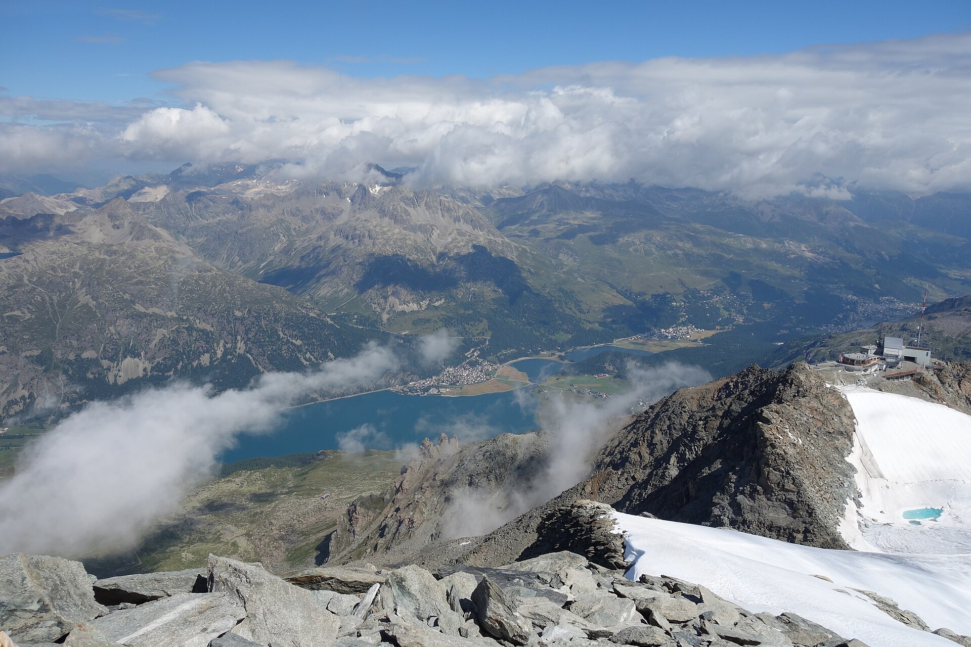
An exquisite, completely flat high-altitude lake walk connecting the peaceful Engadin village of Champfèr with the world-famous luxury resort of St. Moritz. Winding along the shores of Lake Champfèr (Lej da Champfèr) and Lake St. Moritz (St. Moritzersee), the route passes traditional stone Engadin architecture, larch forests, and historic luxury hotels, backed by the glistening glaciers of the Bernina Range.
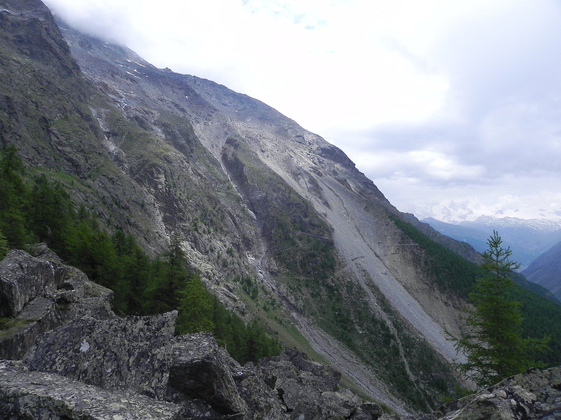
One of the longest pedestrian suspension bridges in the world, strung across a gorge.
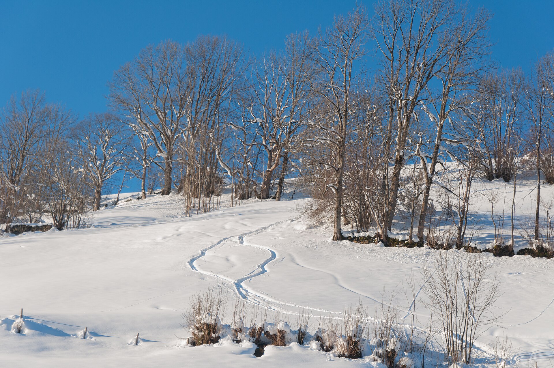
Seven limestone peaks above the Walensee, and a summit restaurant by Herzog & de Meuron.
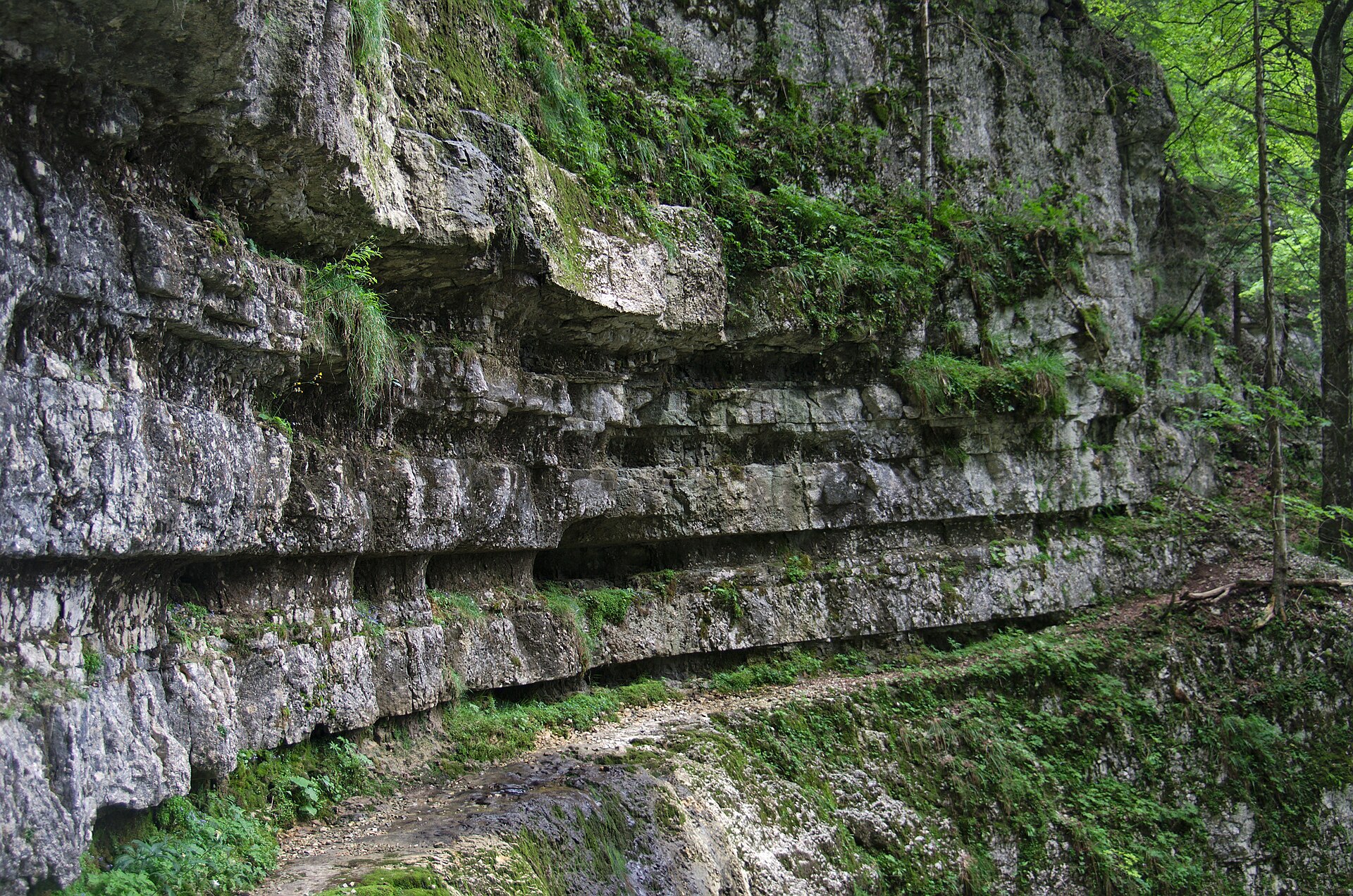
An 11 km climb through the wild Combe Grède gorge to the Bernese Jura's highest ridge, with views from the Alps to the Vosges.
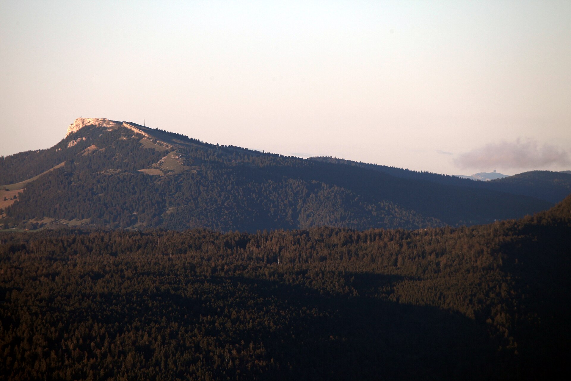
A Jura summit with a big view and a village that makes music boxes.
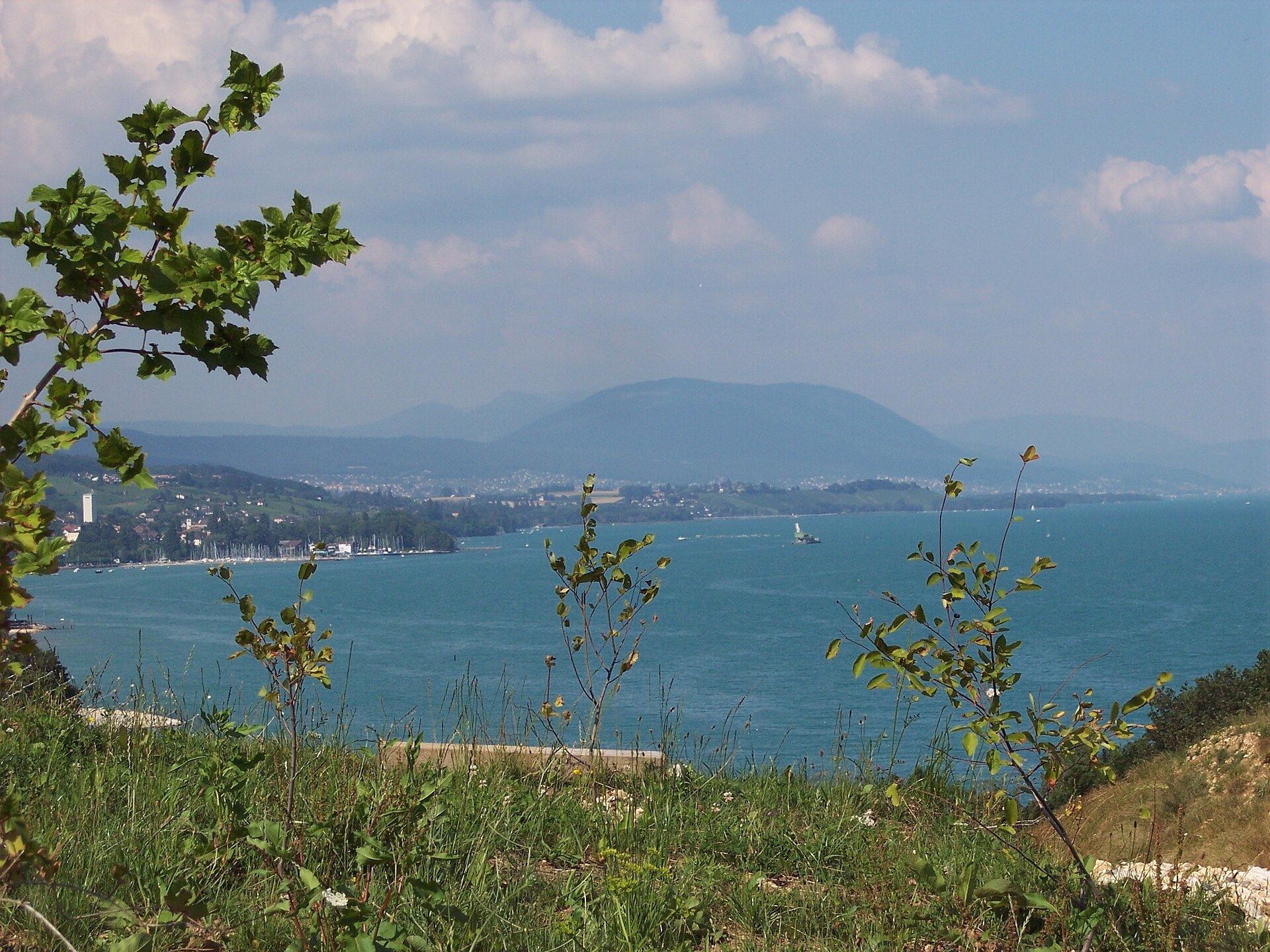
A funicular above the lake and a long gentle walk home through the forest.
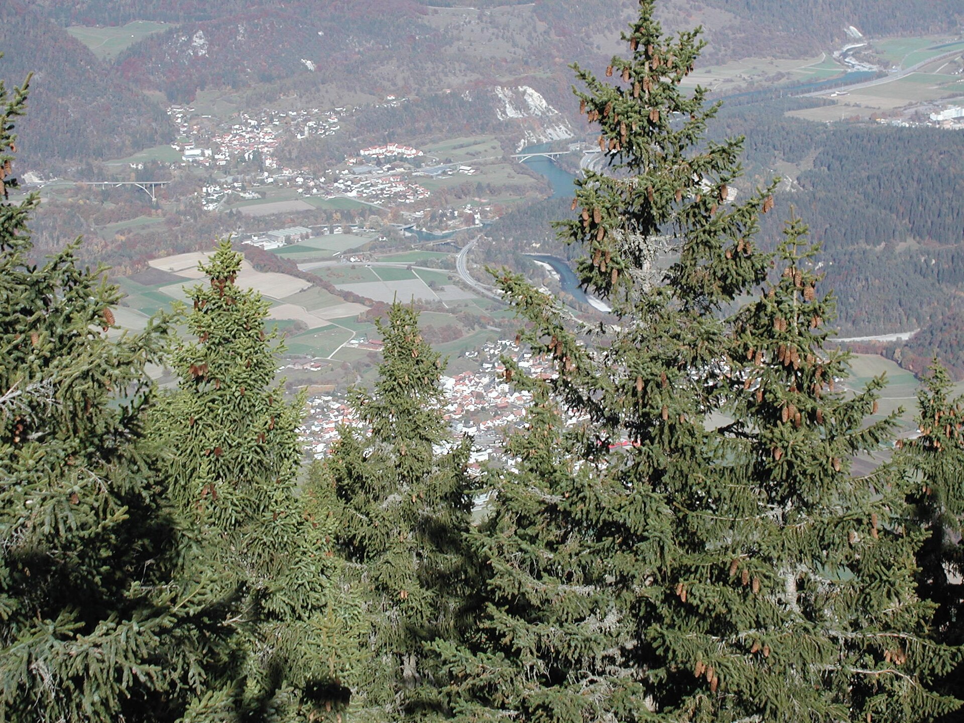
A flat river path from the oldest city in Switzerland to where the two Rhines meet.
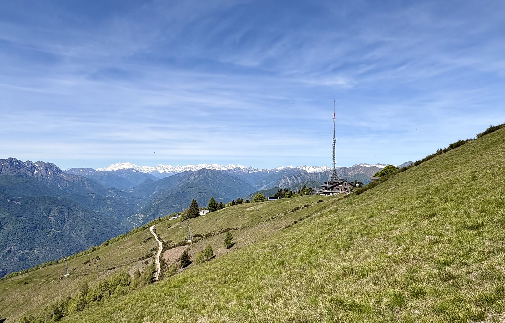
A sun-drenched, Mediterranean-flavored mountain ridge hike perched high above Locarno and Lake Maggiore (Lago Maggiore). Reached via the Mario Botta-designed cable car from Orselina to Cardada and chairlift to Cimetta (1,671 m), the trail loops along open grassy ridges and pine bowers. Walkers enjoy breathtaking 360-degree views contrasting the lowest point in Switzerland (Lake Maggiore, 193 m) with the highest point (Dufourspitze, 4,634 m).
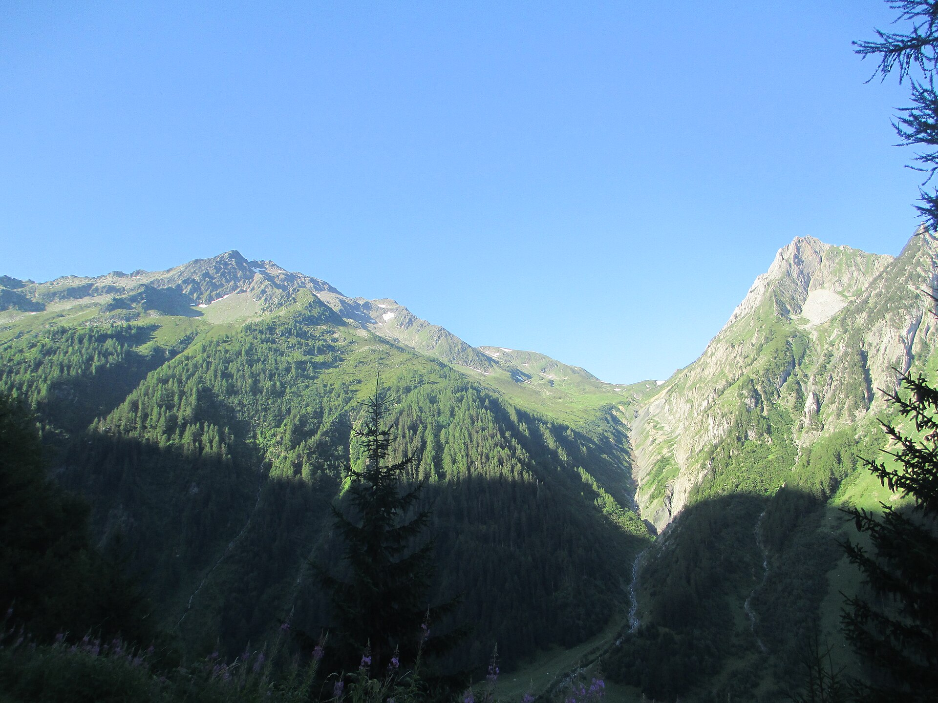
A Tour du Mont Blanc pass, with the Mont Blanc range spread out to the south.
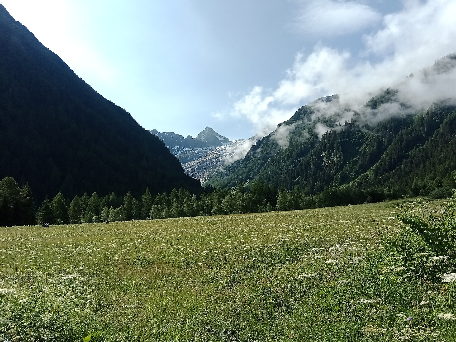
A short walk to a glacier view at a pass above Martigny.
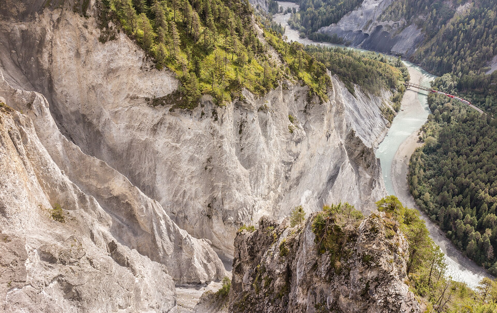
A balcony over the Swiss Grand Canyon, with the Rhine far below.
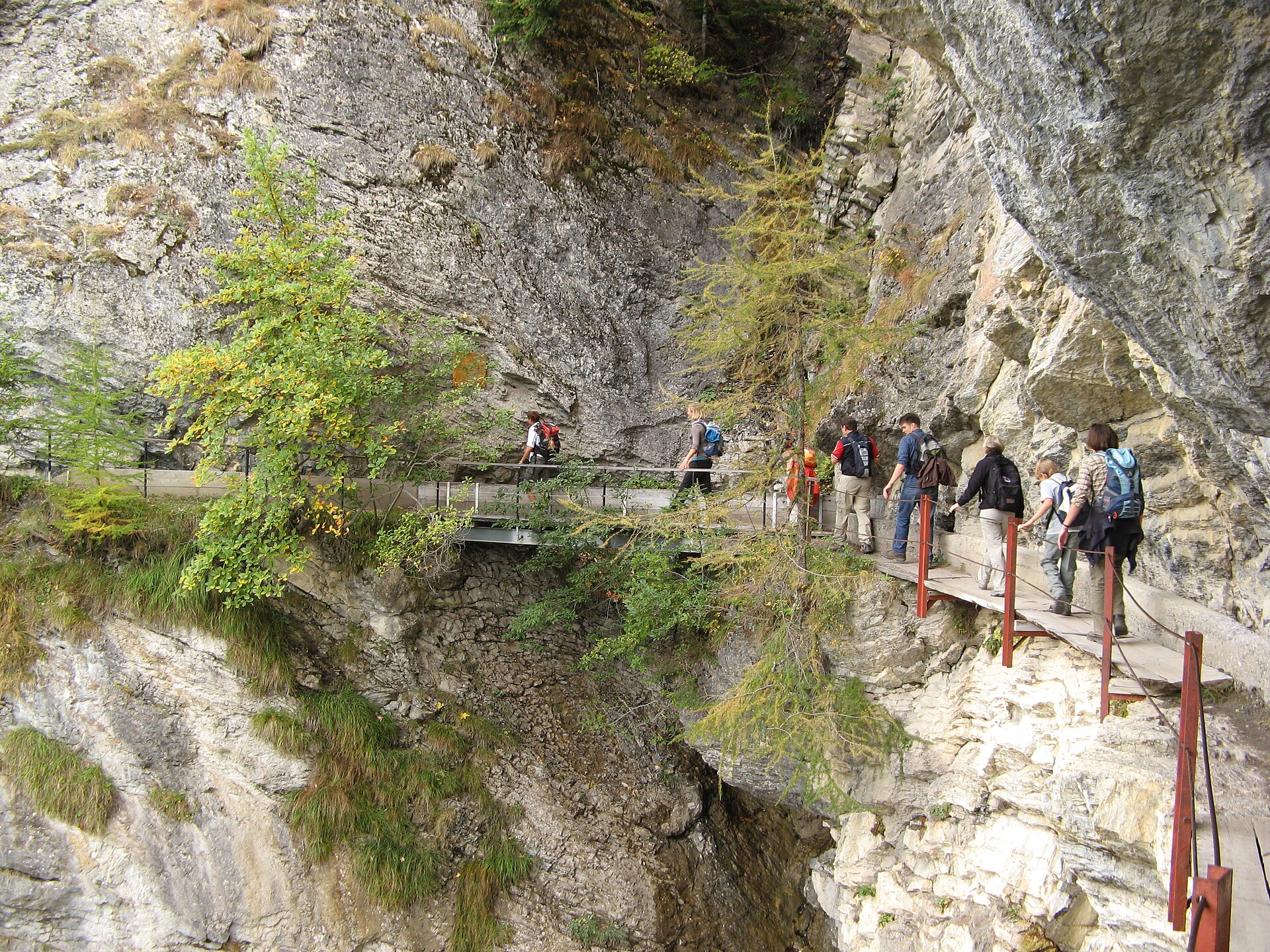
Cross a breathtaking 120m suspension bridge along a historic cliffside water channel.
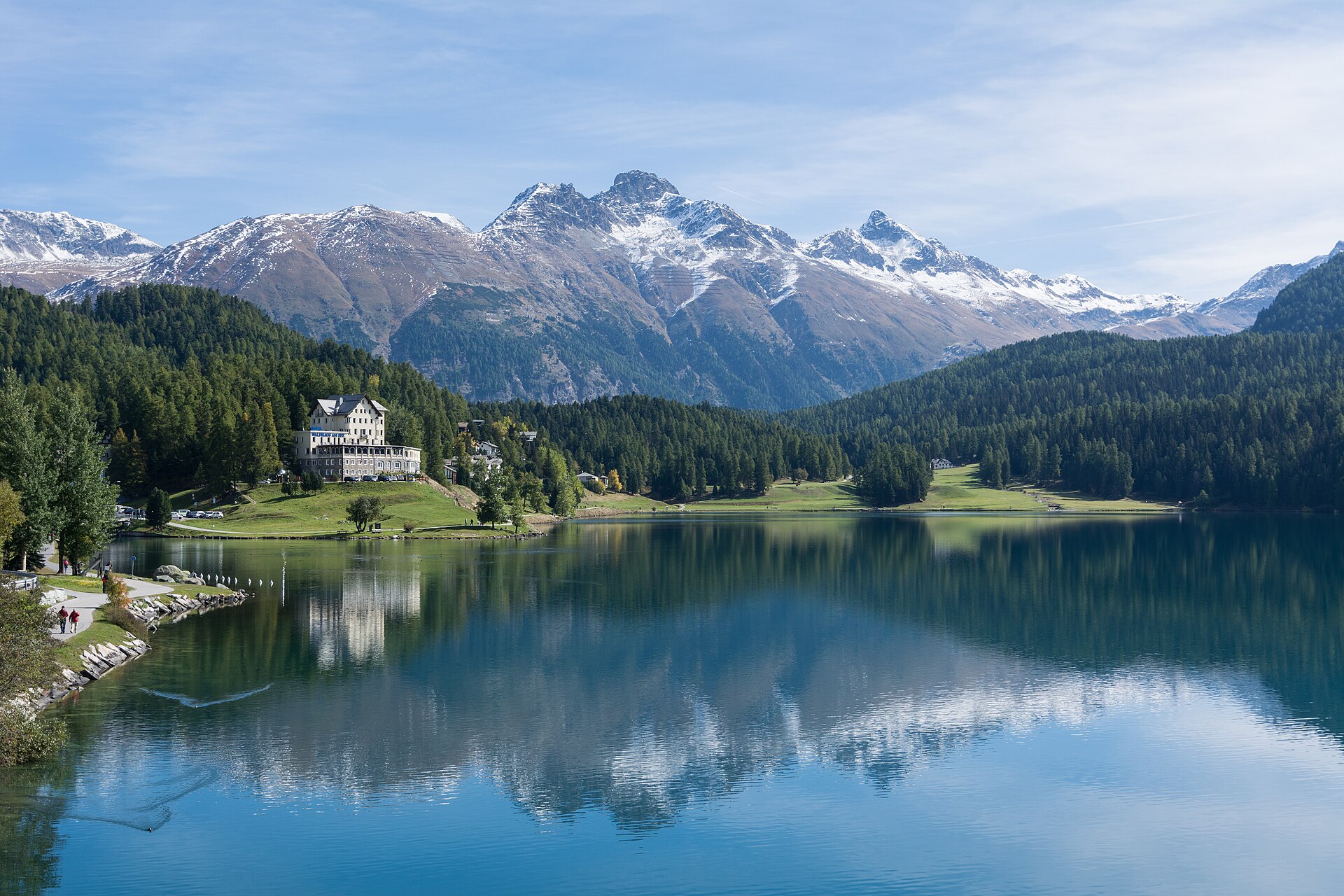
A fascinating heritage and forest walk exploring the legendary Cresta Run area—the world's most famous natural skeleton toboggan run—and the pristine pine and larch forests surrounding St. Moritz. The trail winds past the historic Cresta clubhouse, sparkling St. Moritz lake edges, and tranquil woodland clearings, offering a wonderful blend of elite sporting history and serene Engadin nature.
A world-class geological wonder often called the "Grand Canyon of Switzerland." The Creux du Van is a staggering natural rock amphitheater formed by erosion, featuring sheer vertical limestone cliffs dropping 160 meters into a vast bowl. Starting from Noiraigue or Le Soliat, the trail climbs through shaded beech forests and pastoral Jura pastures before tracing the exposed, fence-less rim of the giant horseshoe cliff, offering breathtaking views across Lake Neuchâtel toward the Alps.
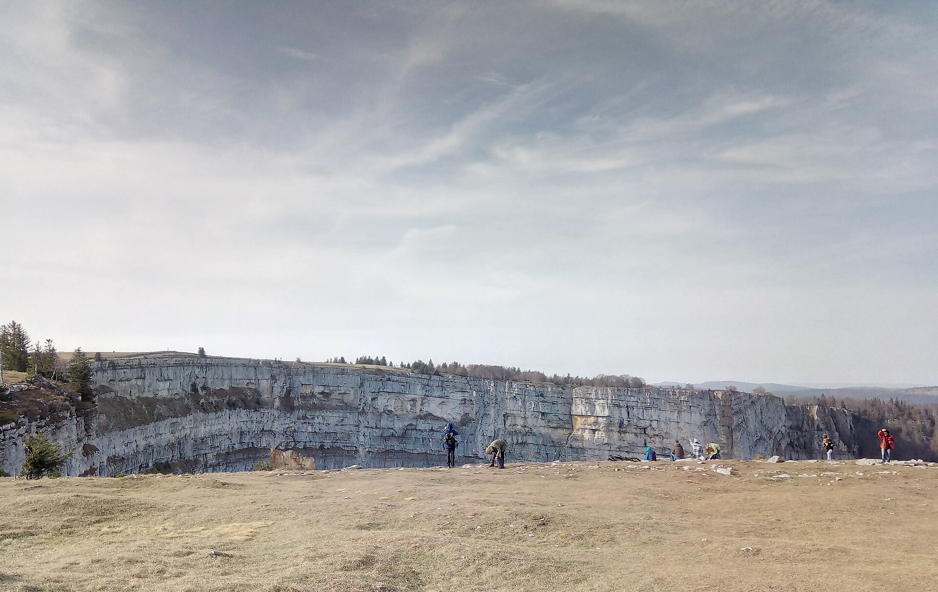
A rim circuit around a 500 m rock amphitheatre in the Jura, with ibex and chamois on the cliff edge and the Alps beyond.
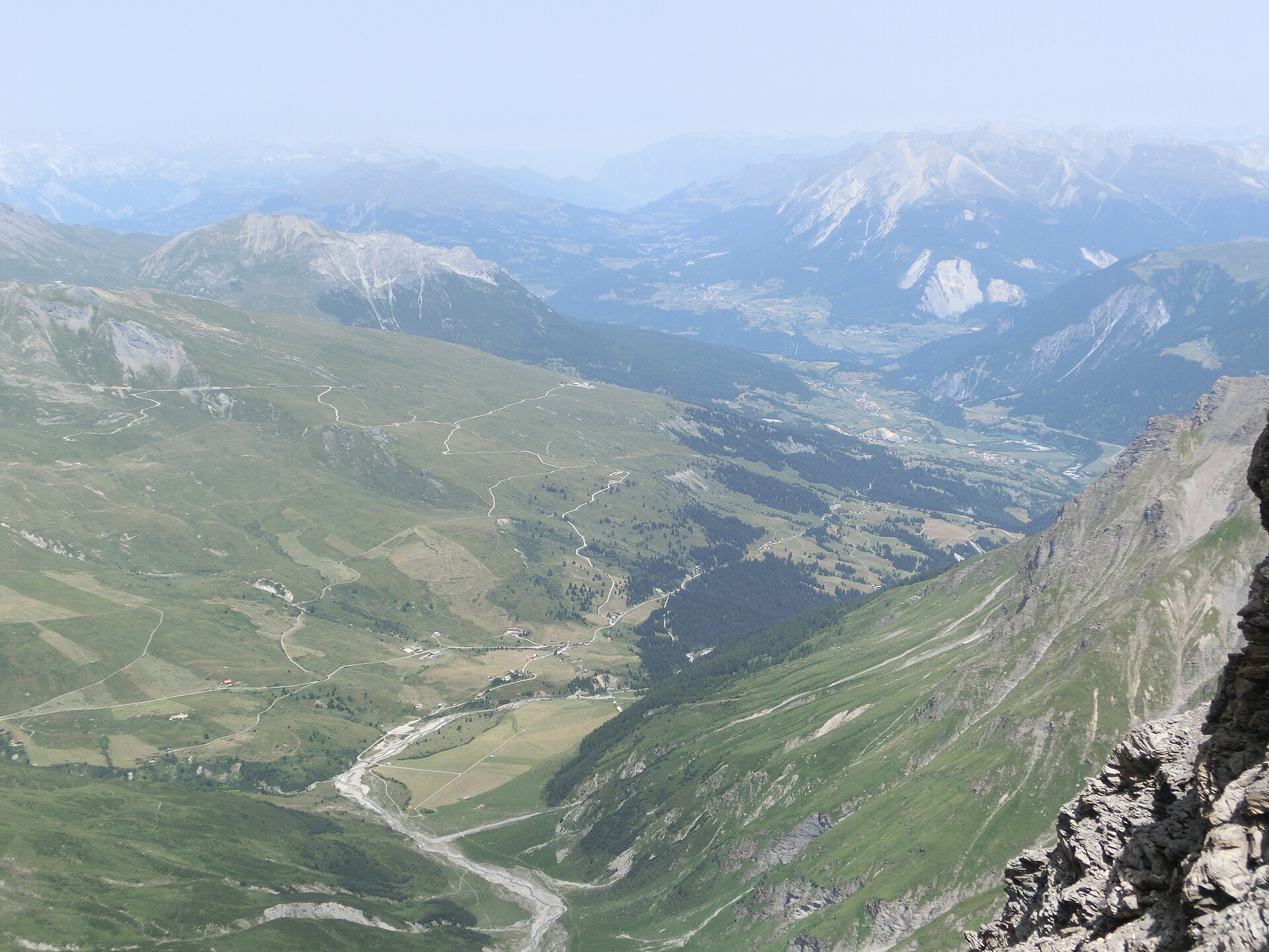
A charming and gentle historical valley walk following the Julia River (Gelgia) through the sun-drenched Surses valley from the picturesque village of Cunter down to Savognin. Winding past traditional Grisons stone houses, ancient wooden barns, and fragrant alpine meadows, the route offers gorgeous valley vistas framed by the dramatic limestone peaks of the Parc Ela nature park.
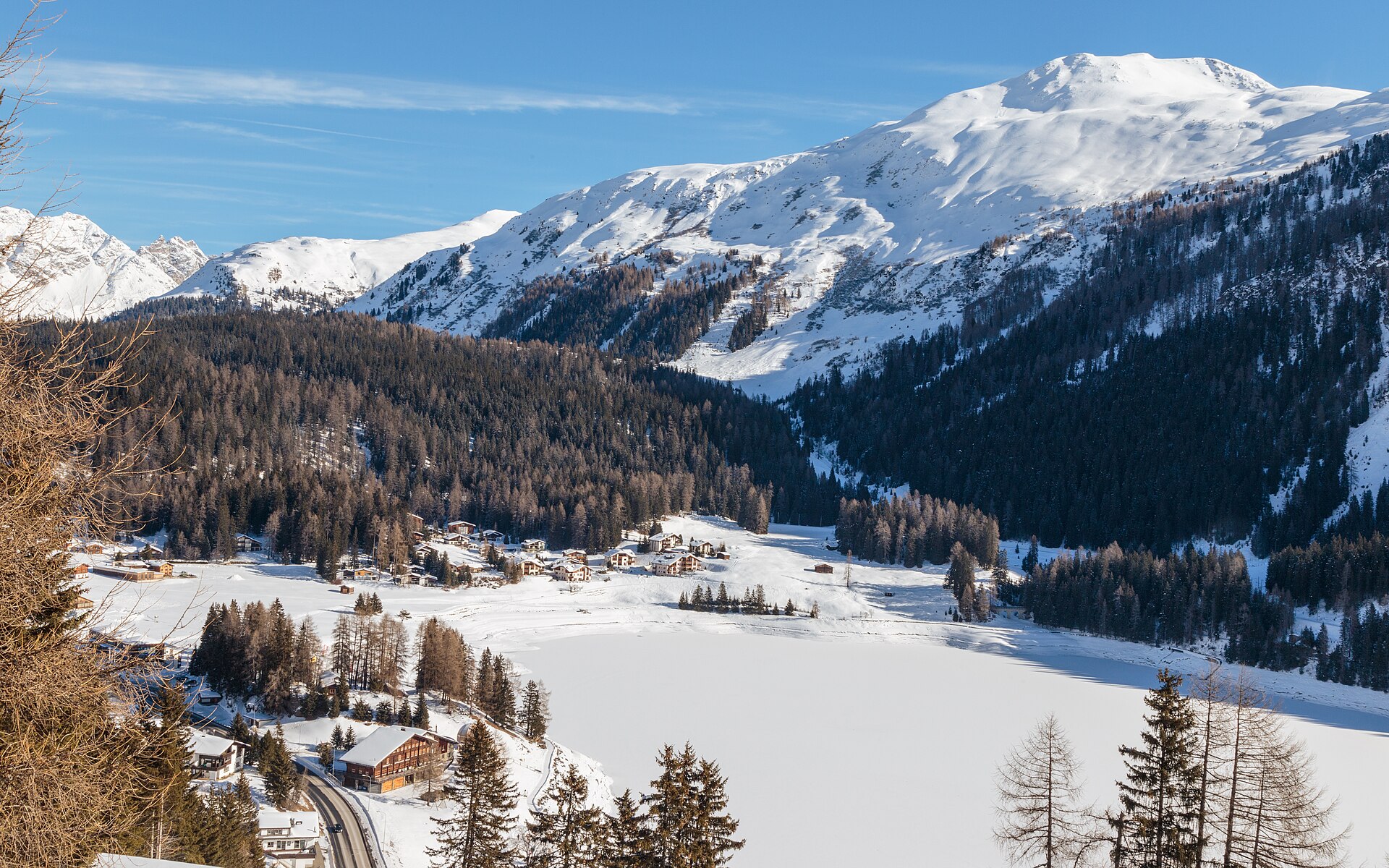
A flat lap of the Davosersee in Europe's highest town, with the Jakobshorn and Weissfluh peaks rising above meadow and forest.
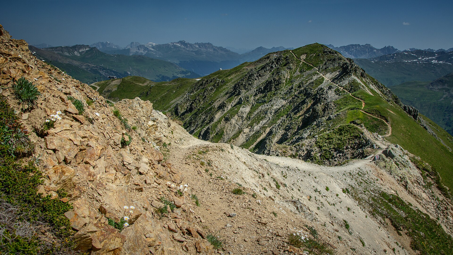
A legendary high-alpine balcony traverse linking the famous mountain resort of Davos with its sister alpine village Klosters. Starting from the Gotschnagrat station high above Davos, the trail tracks along the famous "Crest Trail" (Gotschnagrat–Casanna–Klosters), winding through fragrant pine forests, open alpine pastures, and dramatic rock balconies with breathtaking panoramic views of the Prättigau valley and the Silvretta Alps.
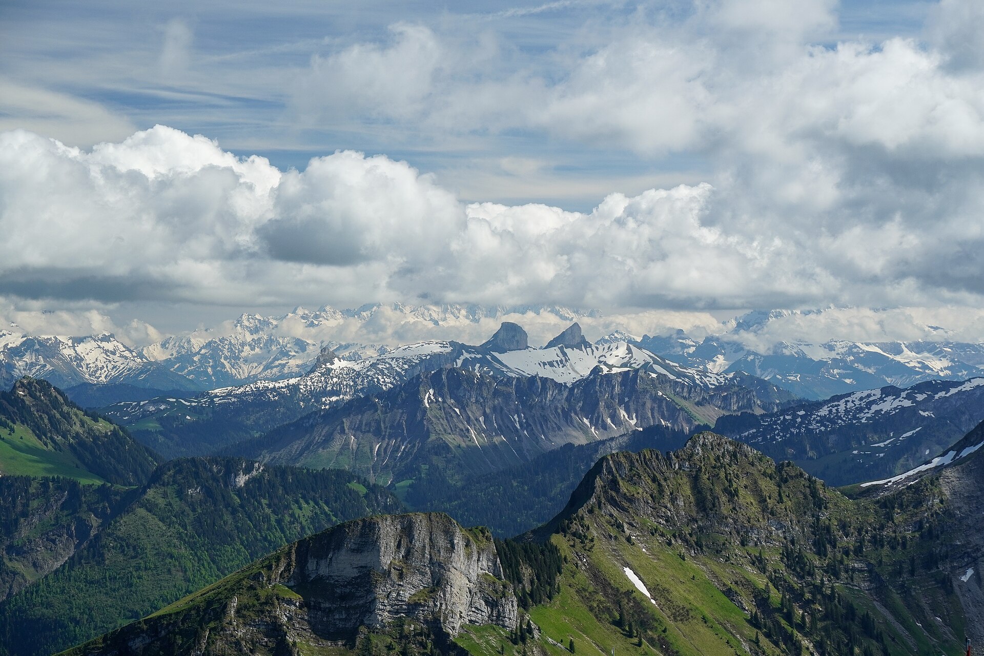
A legendary and thrilling limestone ridge traverse leading to the summit of Dent de Jaman (1,875 m) high above Montreux and the Swiss Riviera. Famous for its dramatic tooth-like limestone peak overlooking Lake Geneva (Lac Léman) and the Valais Alps, the trail features secure steel cables and rock steps along the upper ridge, offering a breathtaking blend of adrenaline and world-class panoramic vistas.
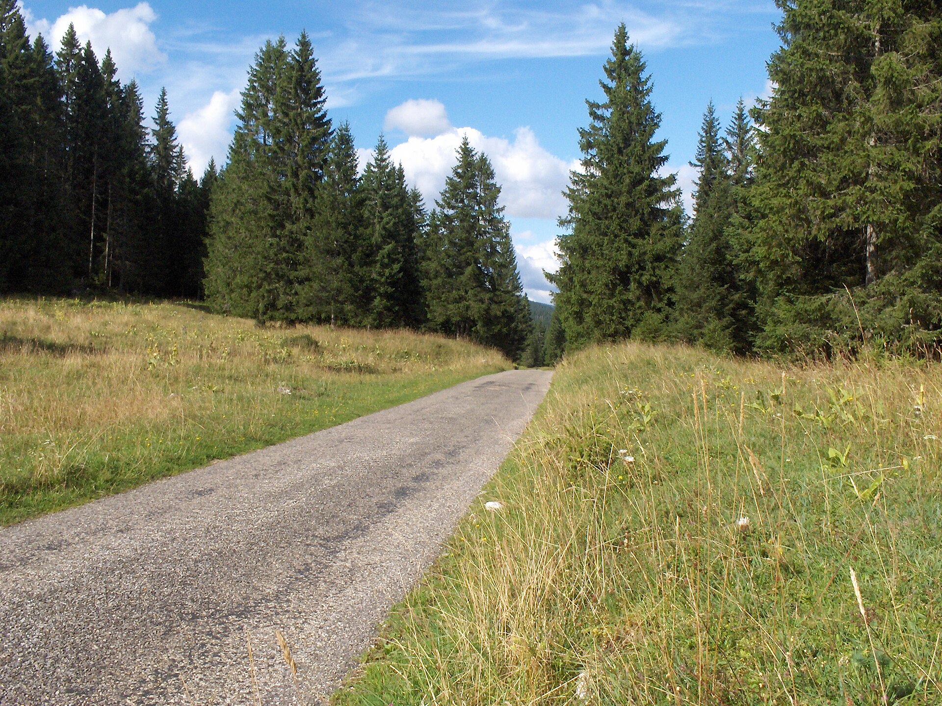
A premier Jura mountain loop climbing to the dramatic summit of Dent de Vaulion (1,482 m). Located at the tip of the Lac de Joux valley, the peak offers one of the most remarkable views in Western Switzerland—a 360-degree panorama encompassing eight distinct lakes (including Lac de Joux, Lac Brenet, and Lake Geneva), the entire Jura mountain chain, and the snow-capped Bernese and Valais Alps across the Swiss Plateau.
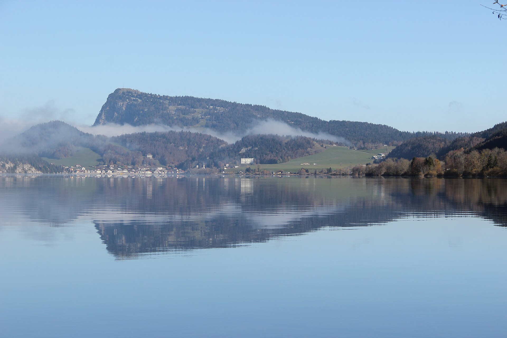
A steady climb through Jura pasture to a grassy summit with an old tower, looking over the Vallée de Joux to Lake Geneva and the Alps.
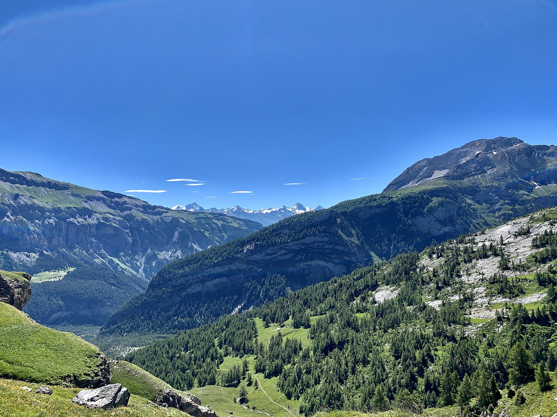
A legendary nature loop around Lac de Derborence, a natural mountain lake formed by massive 18th-century rockslides (immortalized in C.F. Ramuz's classic novel). Nestled in a wild amphitheater beneath the sheer rock walls of the Les Diablerets massif, the trail leads through the protected Derborence Virgin Forest (Derborence Primeval Pine & Fir Forest), past fallen boulder fields, roaring waterfalls, and serene turquoise tarns.
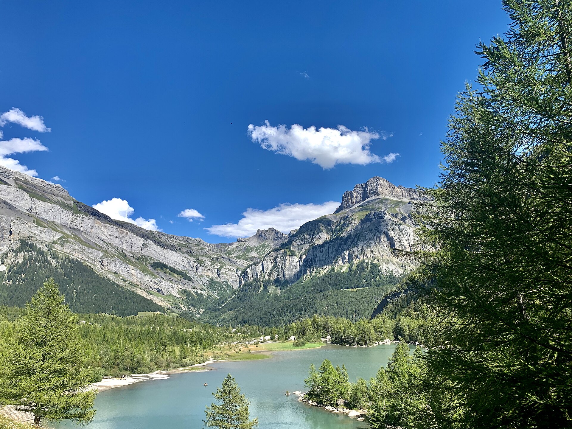
A lake and a forest made by two rockslides in the 18th century.
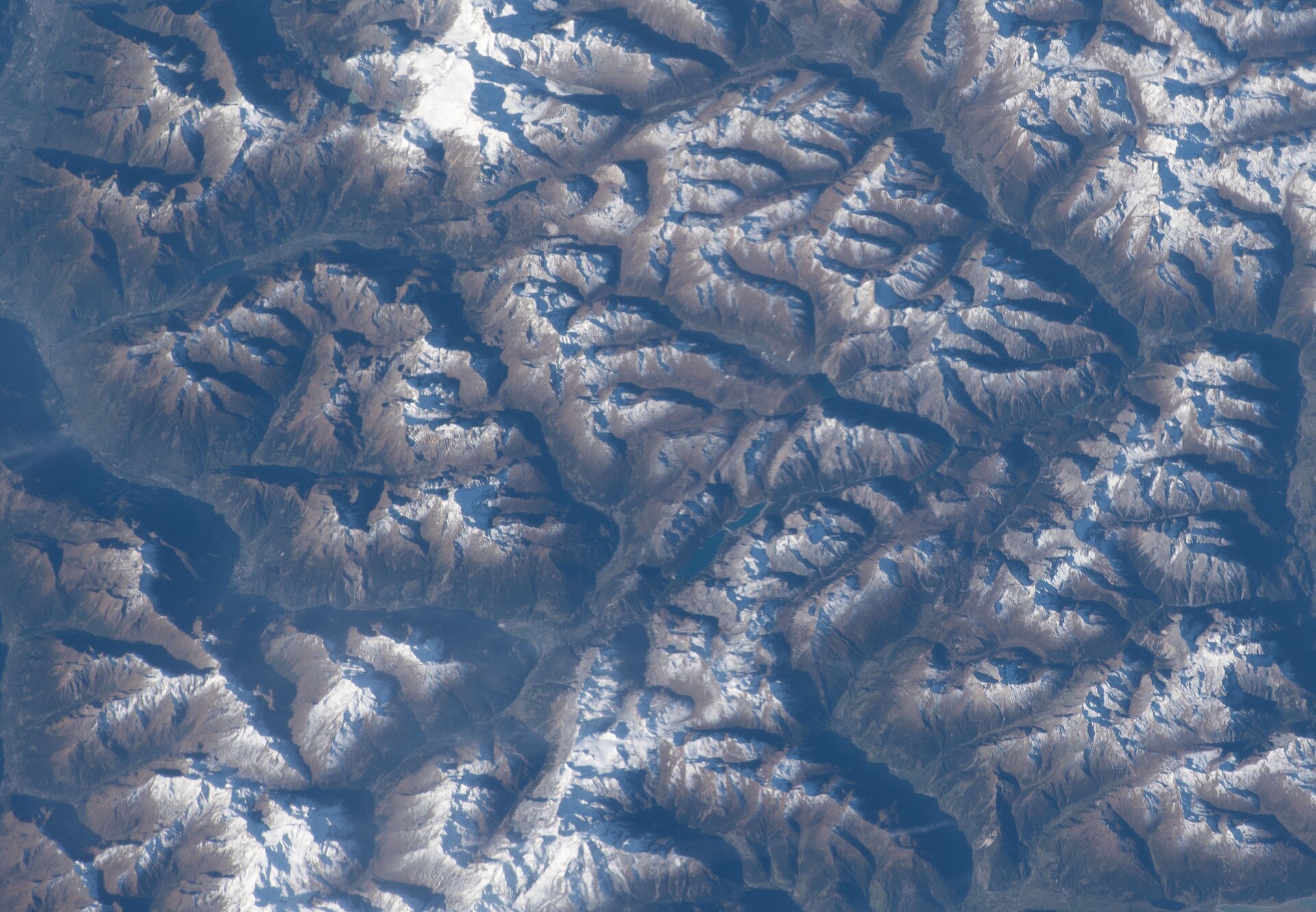
A legendary high-alpine glacier panorama hike starting from the Diavolezza summit station at an awe-inspiring 2,978 meters. Situated directly opposite the massive ice and snow arenas of Piz Palü, Piz Bernina (4,049 m), and the Pers Glacier, the trail descends along rocky moraines and panoramic balconies toward the lower valley, offering some of the most dramatic and accessible high-mountain scenery in the Swiss Alps.
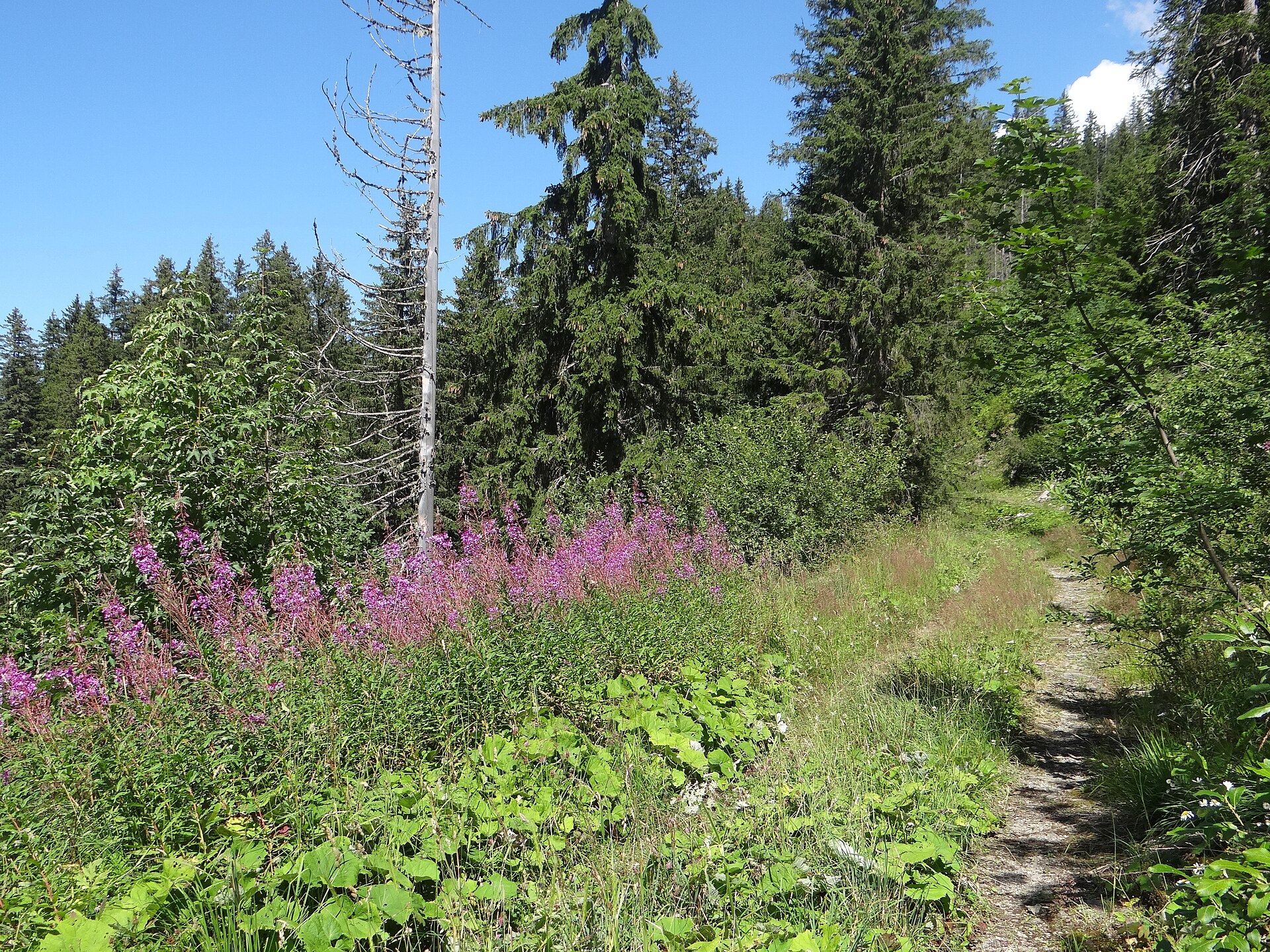
A magnificent and peaceful valley walk exploring the heart of the Diemtigtal Nature Park, a protected Swiss regional nature park renowned for its traditional timber architecture, pristine alpine streams, and rich floral meadows. Starting from Oey-Diemtigen, the trail follows the Chirel river upstream past historic Diemtigtal farmhouses, cheese dairies, and cascading waterfalls toward Zwischenflüh and Horboden.
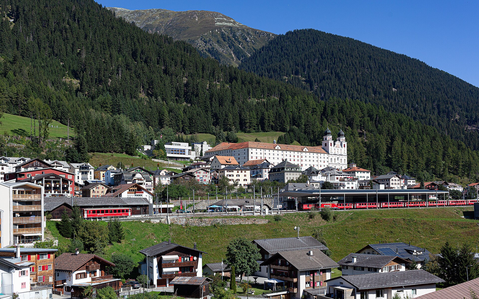
A breathtaking alpine valley trail following the rushing waters of the Rein da Medel (Medel Rhine) through the historic Medel Valley (Val Medel) from the iconic Benedictine monastery town of Disentis/Mustér southward toward Platta. Winding past ancient Walser wooden settlements, blooming alpine meadows, and sheer slate gorge walls, the route offers an authentic glimpse into Romansh culture and rugged Grisons wilderness.
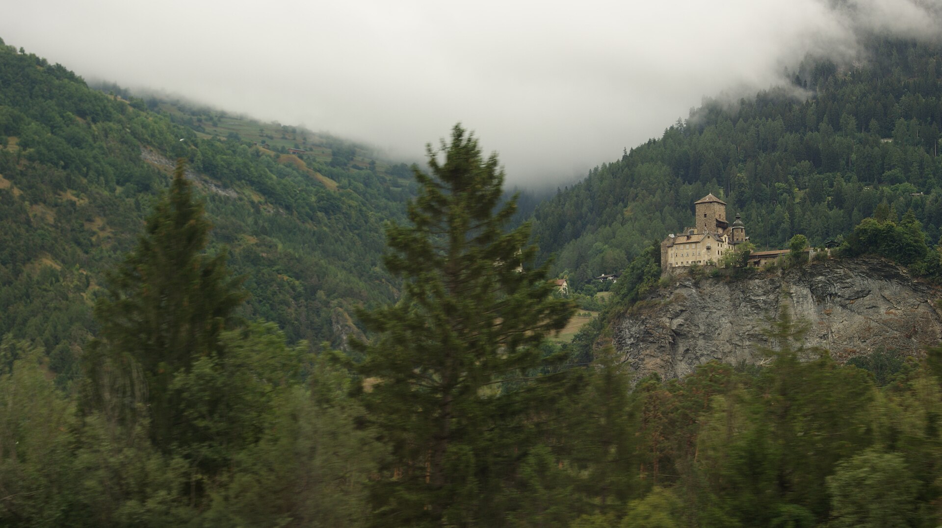
A valley with more castles per kilometre than almost anywhere in Switzerland.
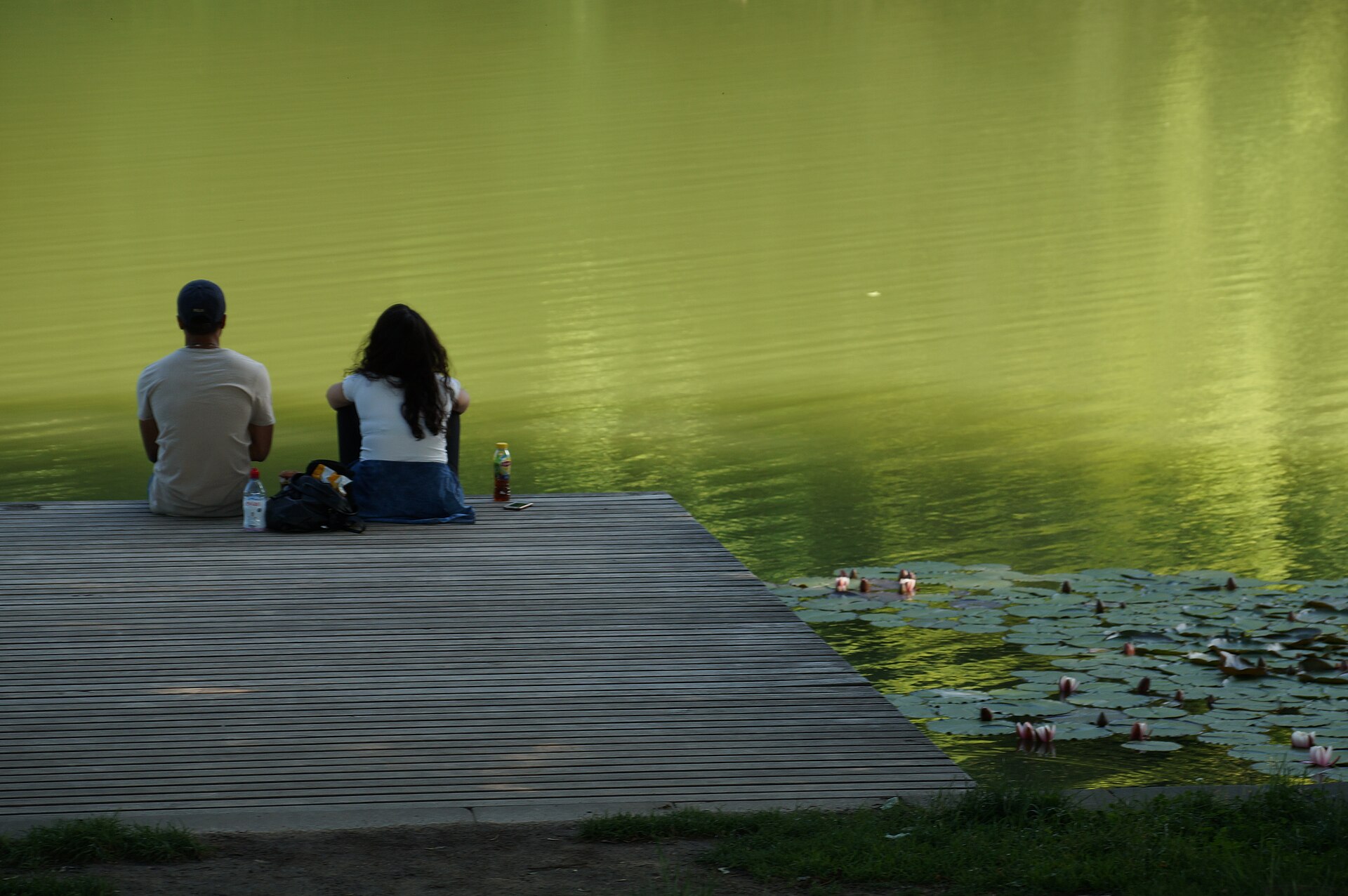
Three ponds above the city, with a historic wooden bathing house.
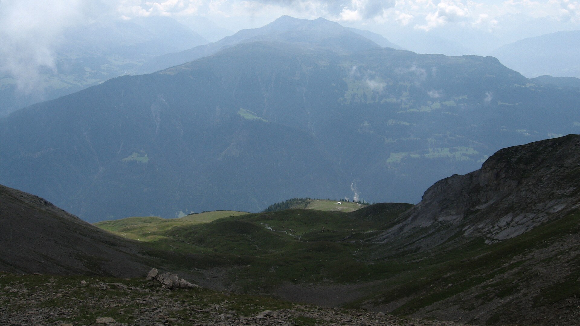
The peak where three leagues of old Graubünden met, with views of the Rhine valley.
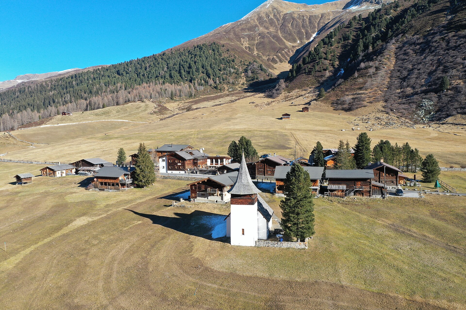
A legendary and dramatic high-alpine pass crossing linking the historic Walser valley of Sertig with the Dischma valley via the rugged Sertig Pass (2,739 m). Starting from Dürrenboden at the end of the Dischma valley, the trail climbs steadily through high-alpine moraines and slate scree fields beneath the towering Piz Grialetsch before descending into the pristine Sertig valley, offering breathtaking wilderness panoramas across Graubünden.
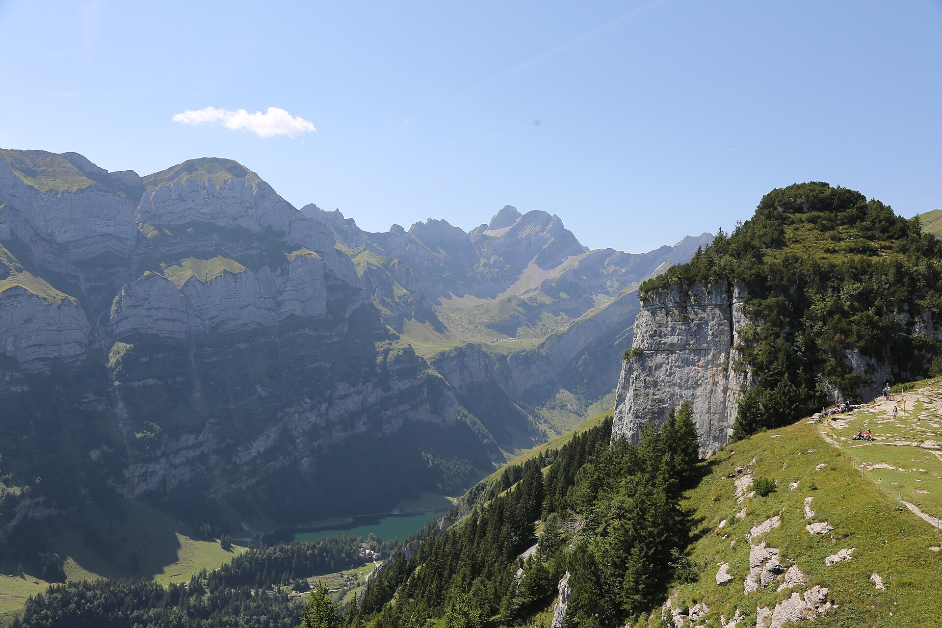
One of the most world-famous and iconic hiking routes in Switzerland. Starting from the Ebenalp high plateau (1,640 m), the trail descends through pre-historic limestone caves (Wildkirchli), past a 400-year-old wooden hermit chapel carved into the rock, and reaches the legendary Äscher Cliff Restaurant (Berggasthaus Äscher-Wildkirchli), clinging directly to a sheer 100-meter vertical limestone cliff. The route then continues down to the emerald waters of Lake Seealpsee.
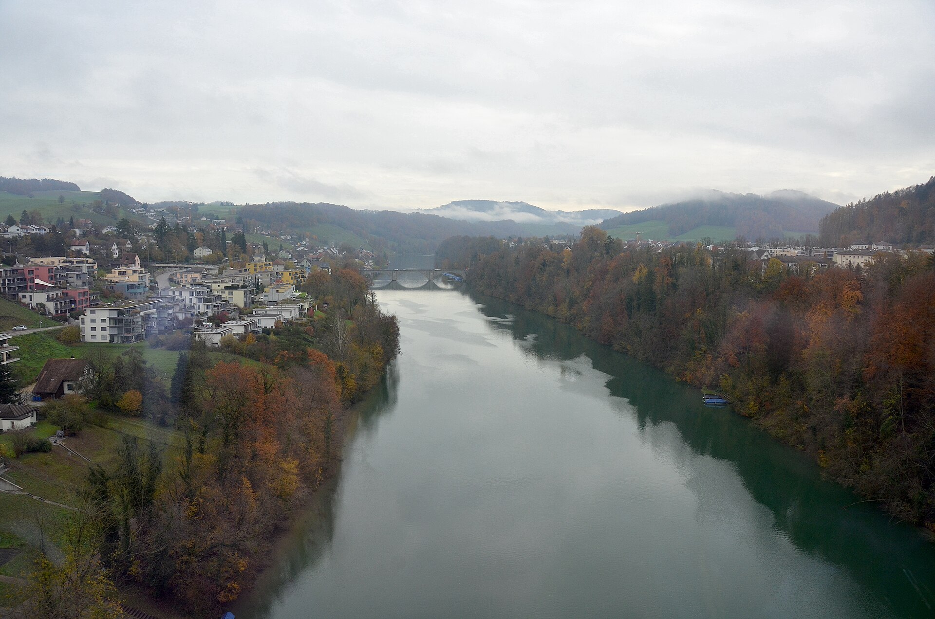
A riverside loop at the medieval Rhine town of Eglisau, past its stone bridge, hillside old town, vineyards and the dam reservoir.
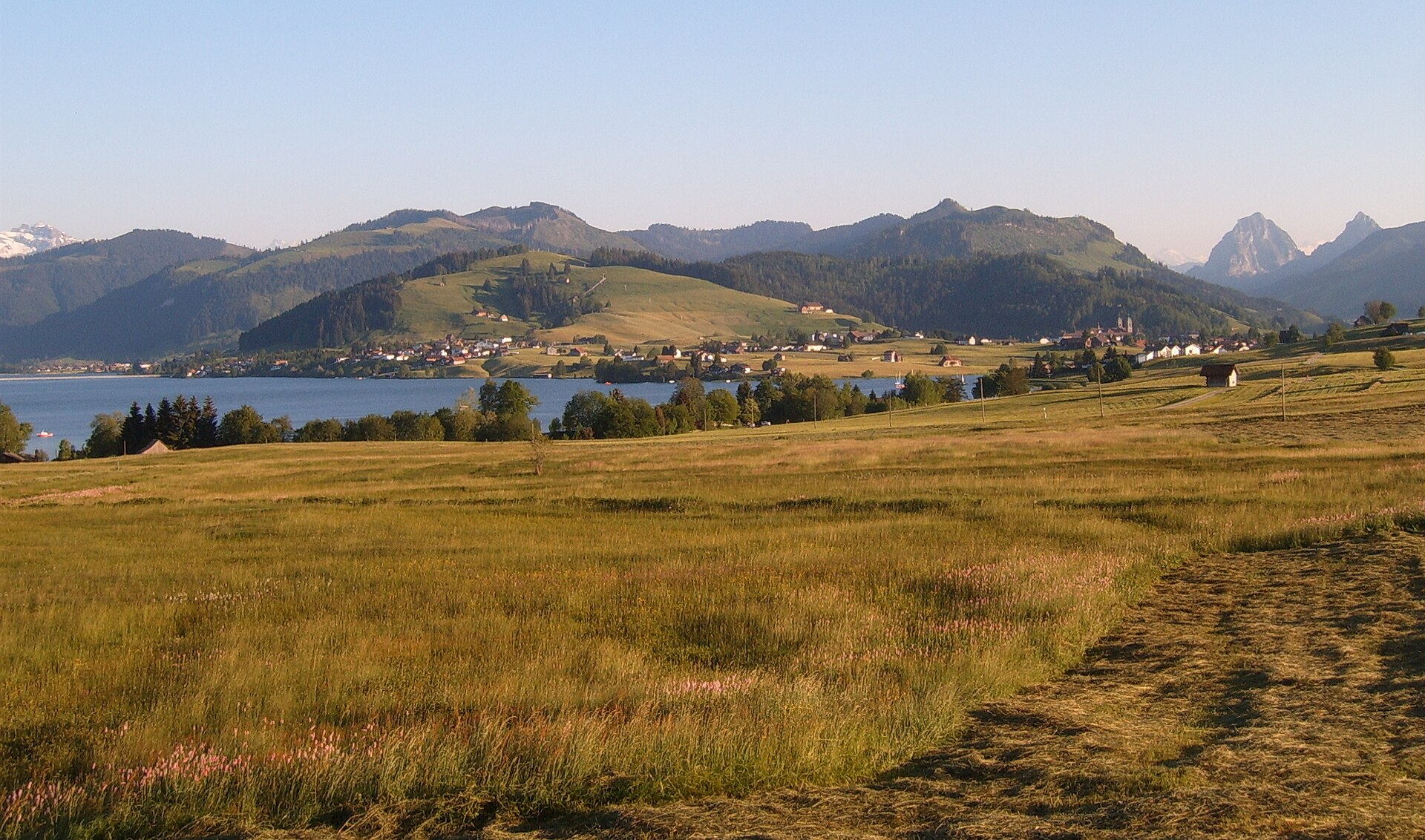
A great Baroque abbey and a long reservoir lake with a flat path around it.
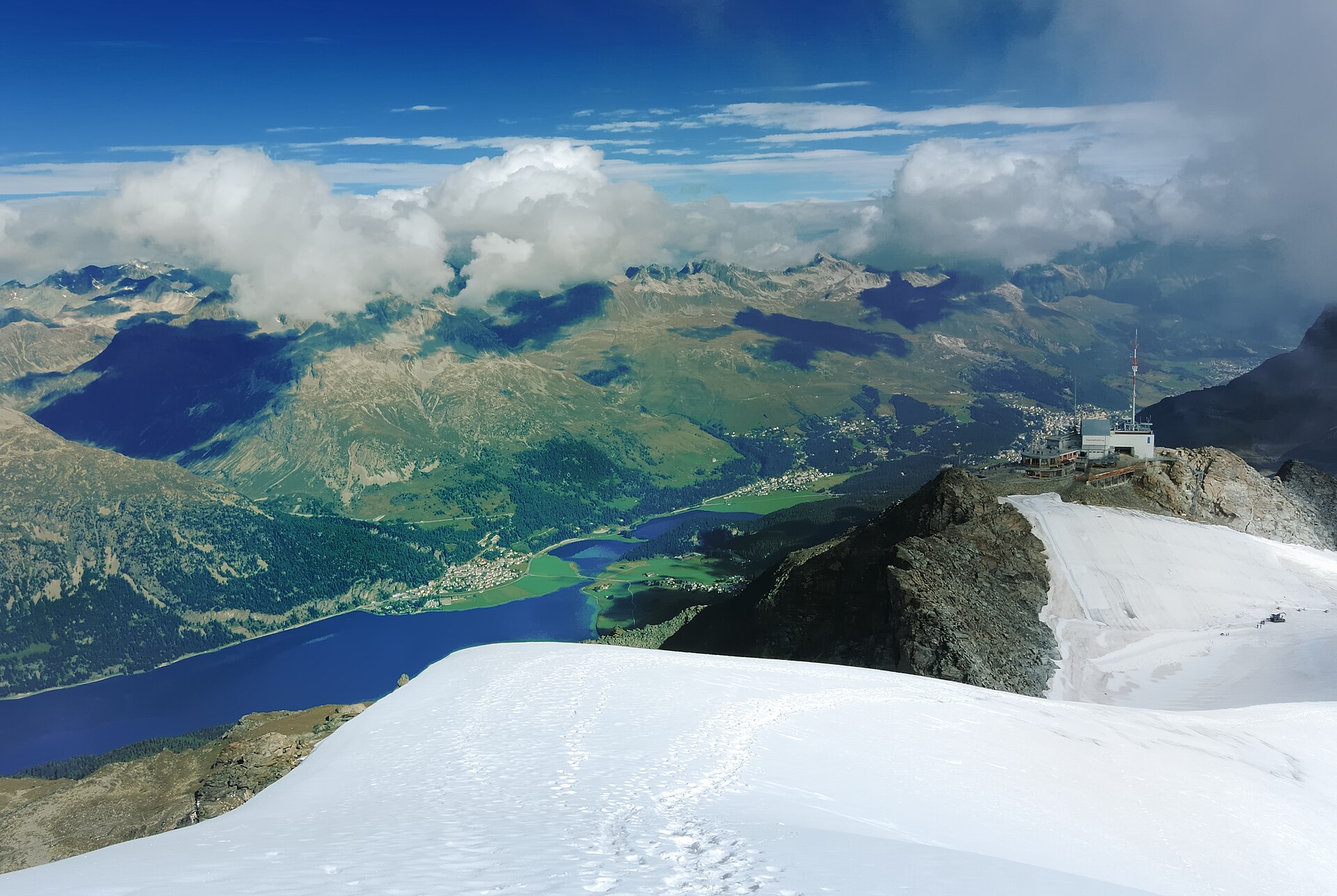
A magnificent and world-famous high-alpine lake walk traversing the shimmering waters of the Upper Engadin lake plateau from St. Moritz past Lake Champfèr, Lake Silvaplana (Lej da Silvaplana), and Lake Sils (Lej da Segl) to Maloja. Framed by ancient larch and pine forests, soaring granite peaks, and the legendary Maloja thermal winds that power windsurfers and kite-surfers, this trail offers quintessential Engadin beauty and ease of access.
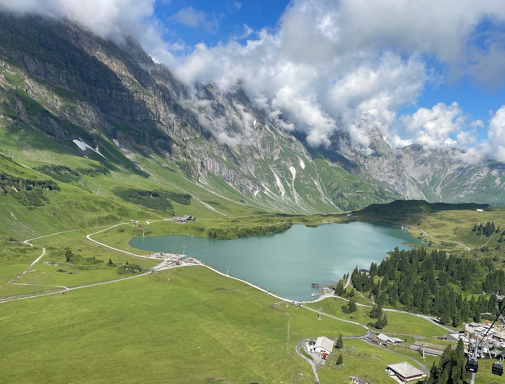
A classic and highly rewarding alpine ascent following rushing glacial streams and blooming dairy pastures from the mountain resort of Engelberg up to the shimmering alpine reservoir of Lake Trübsee. Flanked by the towering limestone walls of the Titlis massif and surrounding Uri Alps, the trail offers a magnificent blend of shaded forest tracks and open sun-drenched plateau paths.
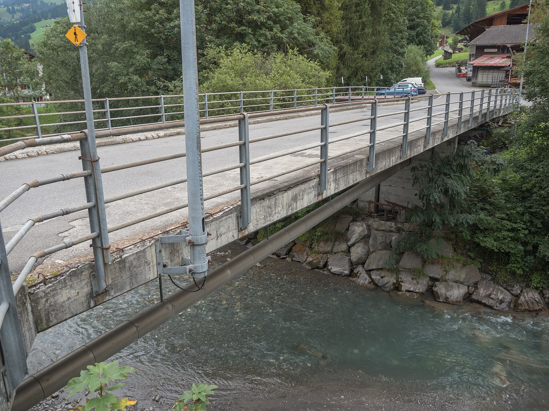
A flat alpine plateau with a waterfall dropping off one end.
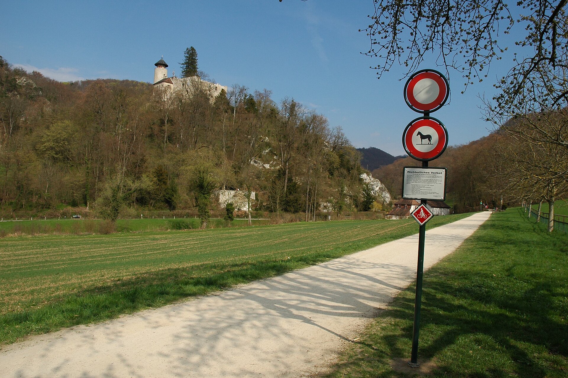
An 18th-century English-style garden with ponds, caves and a hermit's hut.
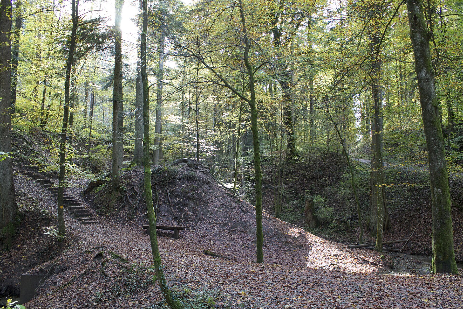
A forest right above a city, with a wildlife park and a tower with a view of the Alps.
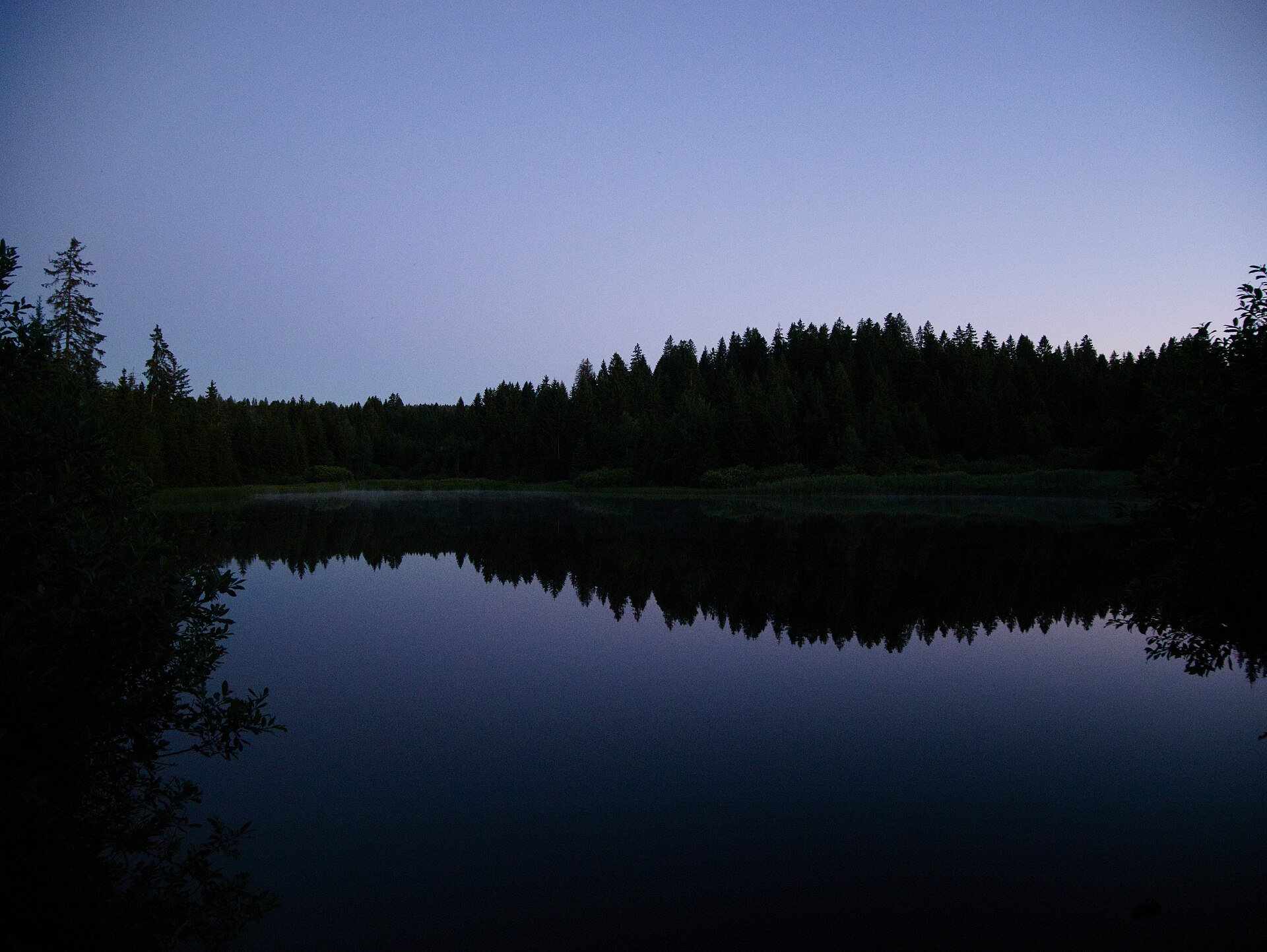
A quiet peat-bog lake on the Jura plateau, home of free-roaming horses.
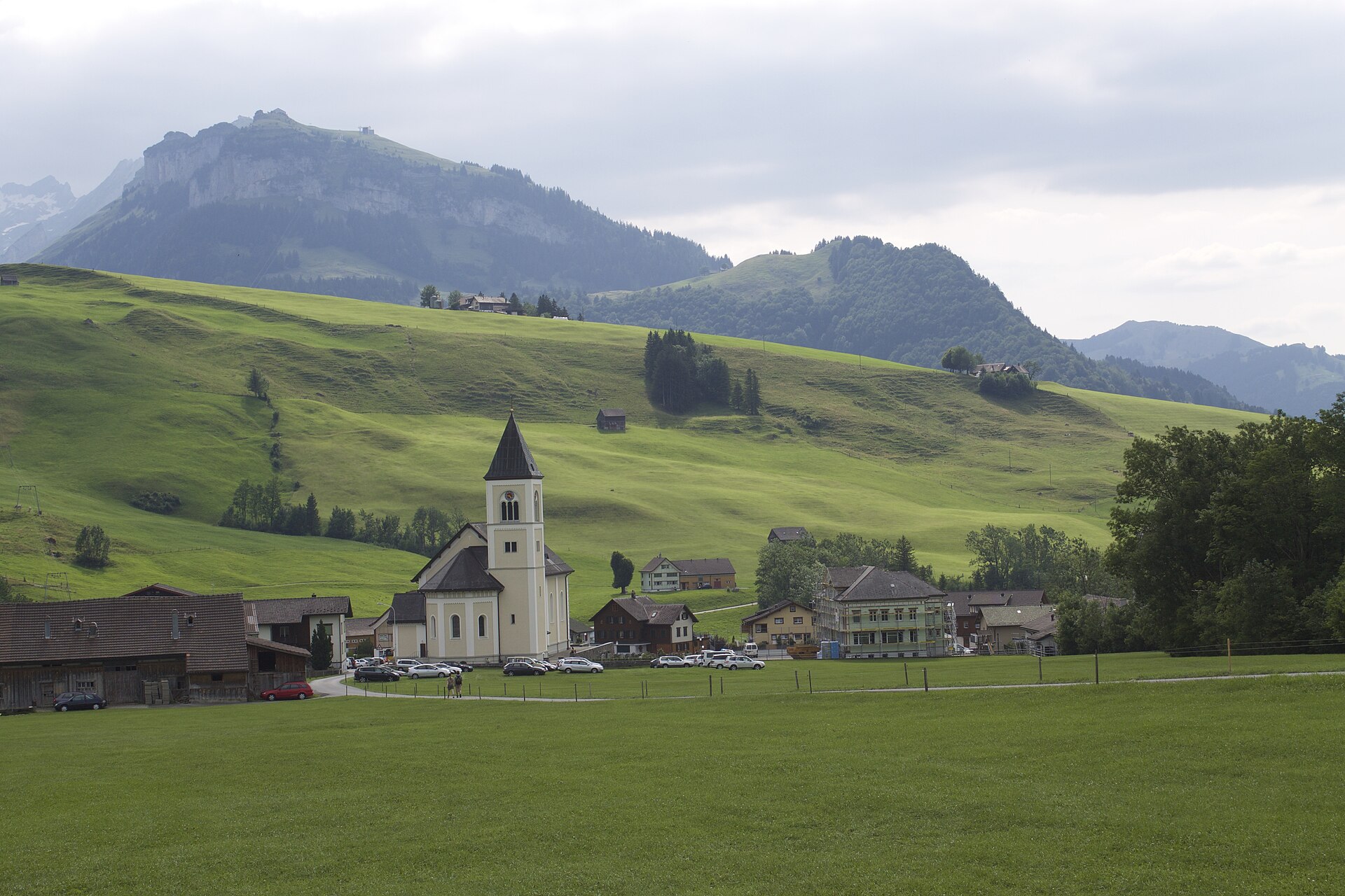
A deep green lake at the end of a quiet Alpstein valley, with a mountain inn on the shore.
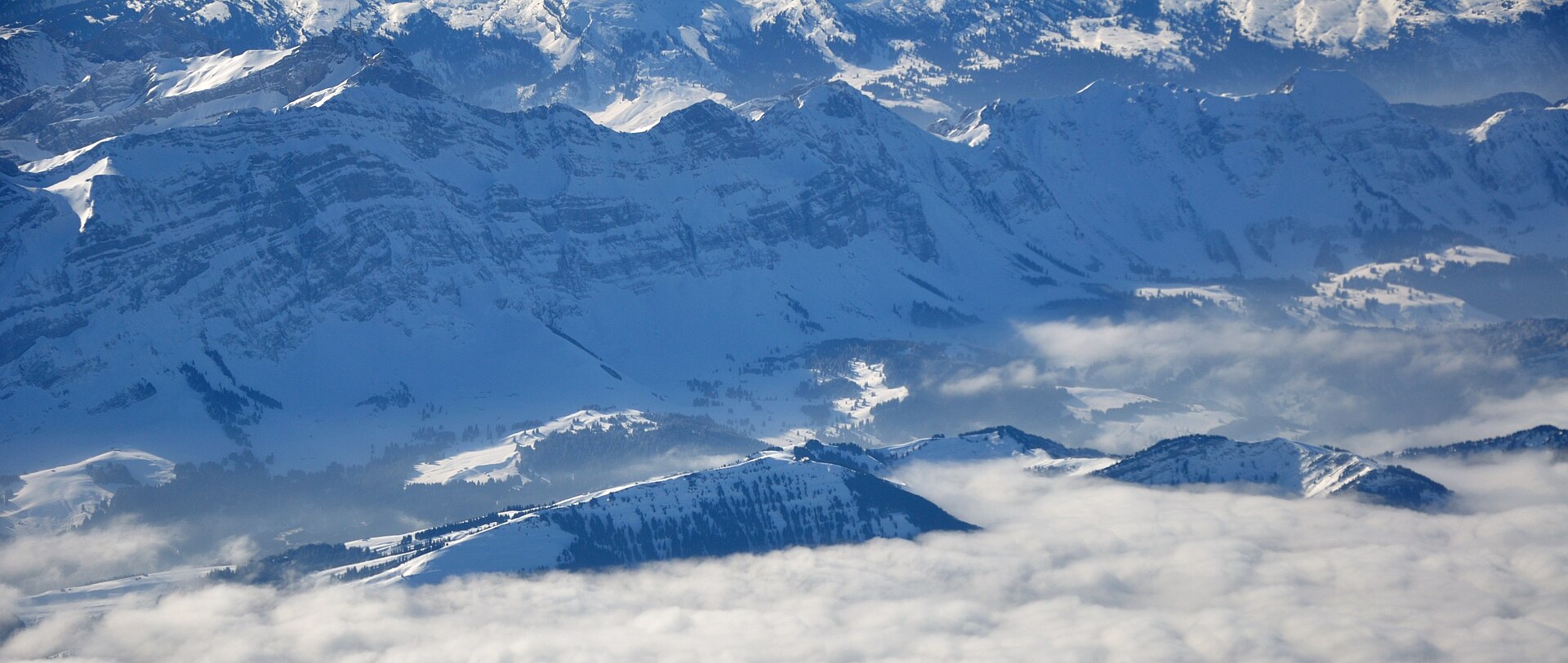
A magnificent and iconic high-alpine valley hike in the Alpstein massif leading to Fählensee, widely considered one of the most picturesque mountain lakes in Switzerland. Surrounded by sheer vertical limestone cliffs rising nearly 1,000 meters above the water, the trail winds from Brülisau via Staubern or Sämtisersee into the pristine Fählensee basin, passing traditional alpine dairy huts and dramatic geological formations.
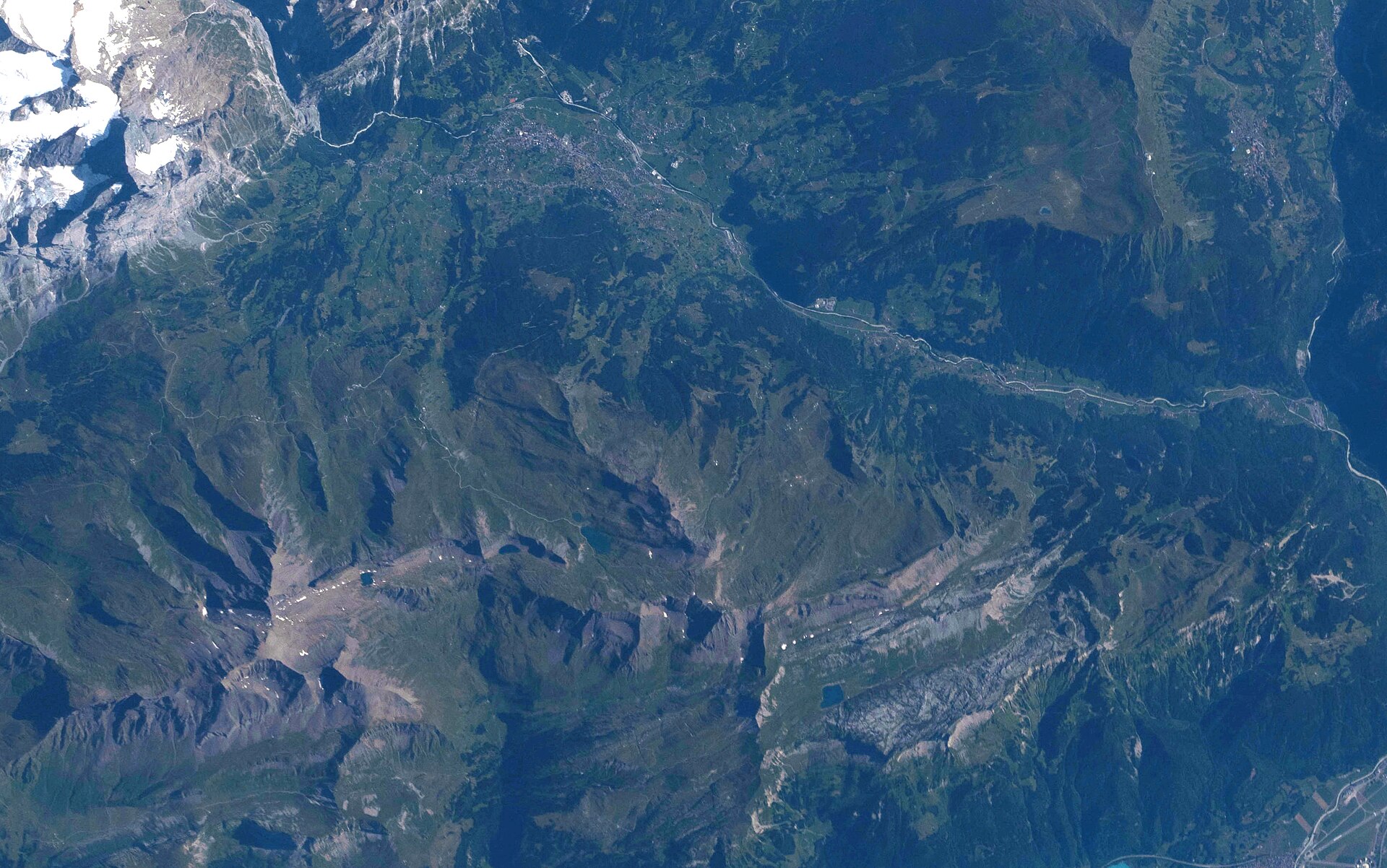
The Eiger on one side, the oldest mountain hotel in Switzerland on the other.
A gentle alpine walk to Switzerland's most iconic mountain lake reflection.
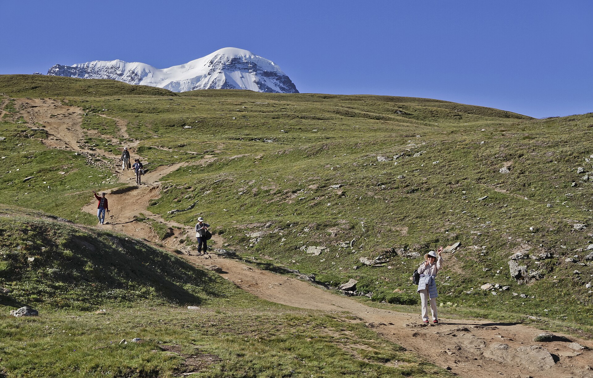
A 10 km family-friendly descent past five lakes above Zermatt, with the Matterhorn mirrored in the Stellisee.
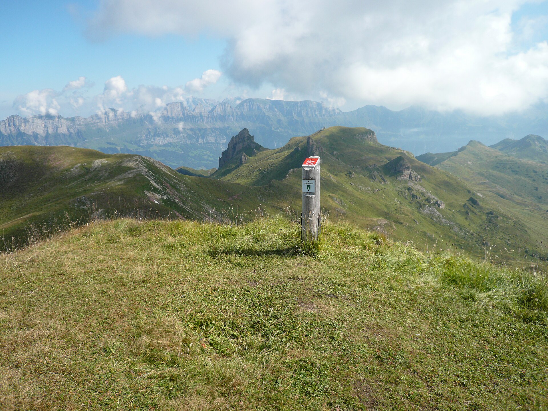
A premier ridge-line panorama trail starting from the Maschgenkamm summit station (2,020 m) high above the Walensee. Renowned for its sweeping 360-degree vistas encompassing over seven distinct alpine peaks (including Ziger, Leist, and Gulmen) [cite: 1.3.1, 1.3.2], the trail meanders along rolling upland ridges with dramatic drop-offs overlooking the deep sapphire waters of Lake Walen and the distant peaks of the Glarus and Grisons Alps [cite: 1.3.1, 1.3.2].
A magnificent and sweeping high-altitude ridge hike in the Flumserberg resort area, offering breathtaking panoramic views over the deep blue waters of Lake Walen (Walensee) and the jagged limestone peaks of the UNESCO World Heritage Tectonic Arena Sardona (including the iconic Churfirsten range). Starting from the Prodkamm summit station, the trail meanders along sun-drenched alpine ridges past blooming meadows and cozy mountain inns.
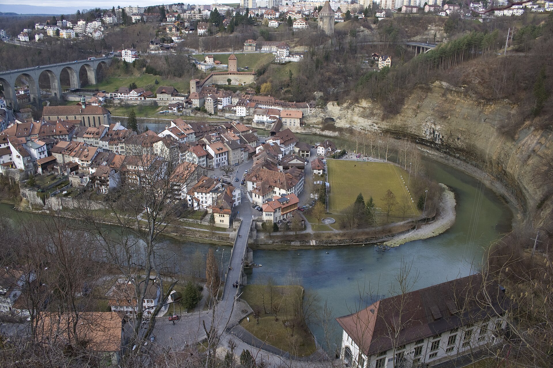
A medieval city in a river bend, with old bridges, ramparts and forest paths.
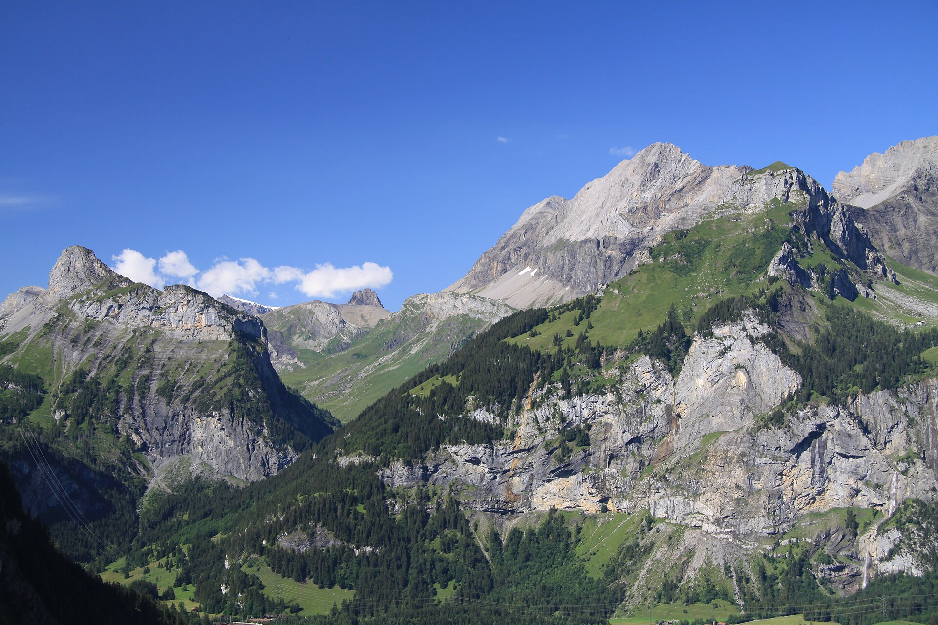
A steep climb above a turquoise lake to a hut under the Blüemlisalp ice.
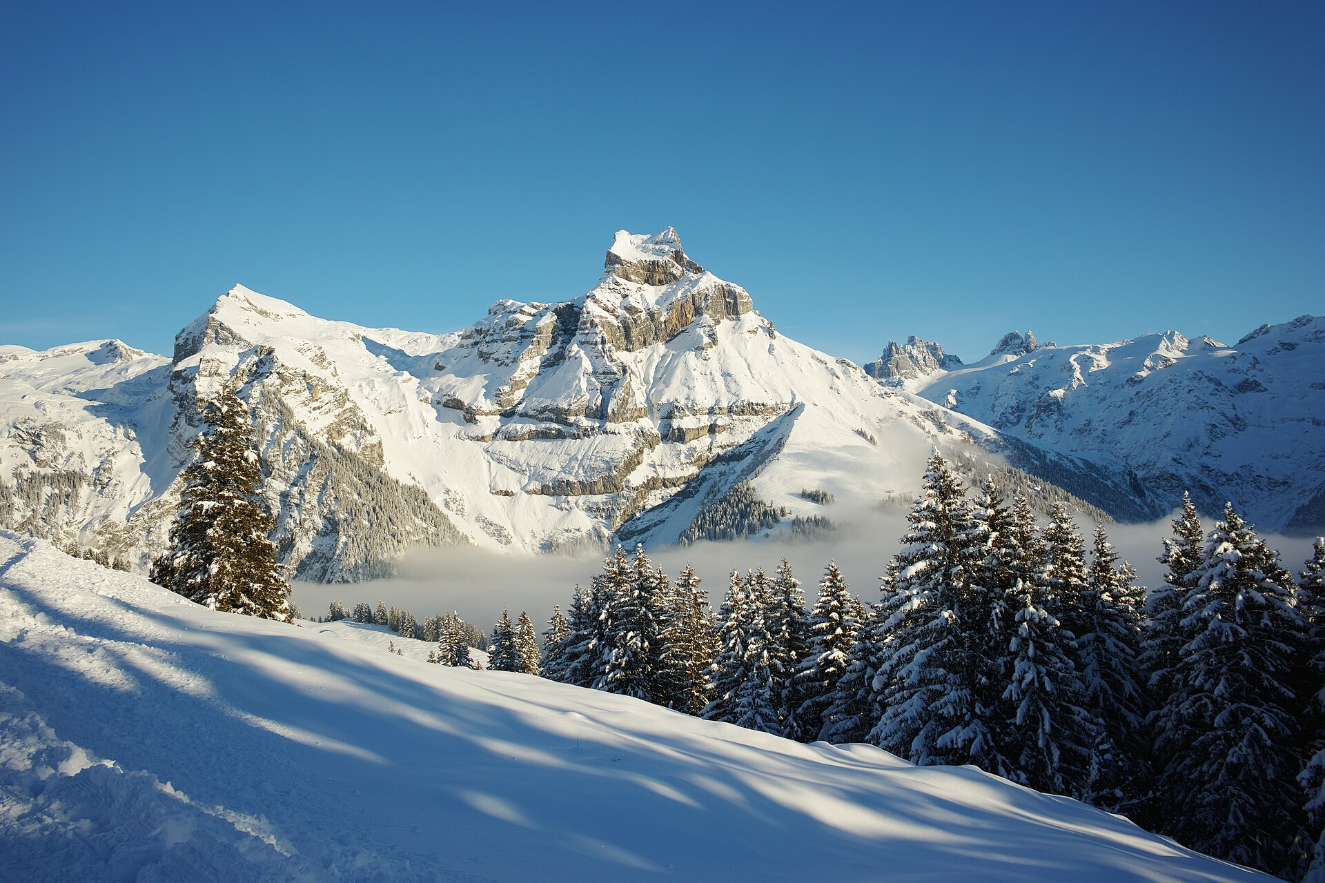
A high alp reached by a small cable car, with a waterfall and a view of the Titlis.
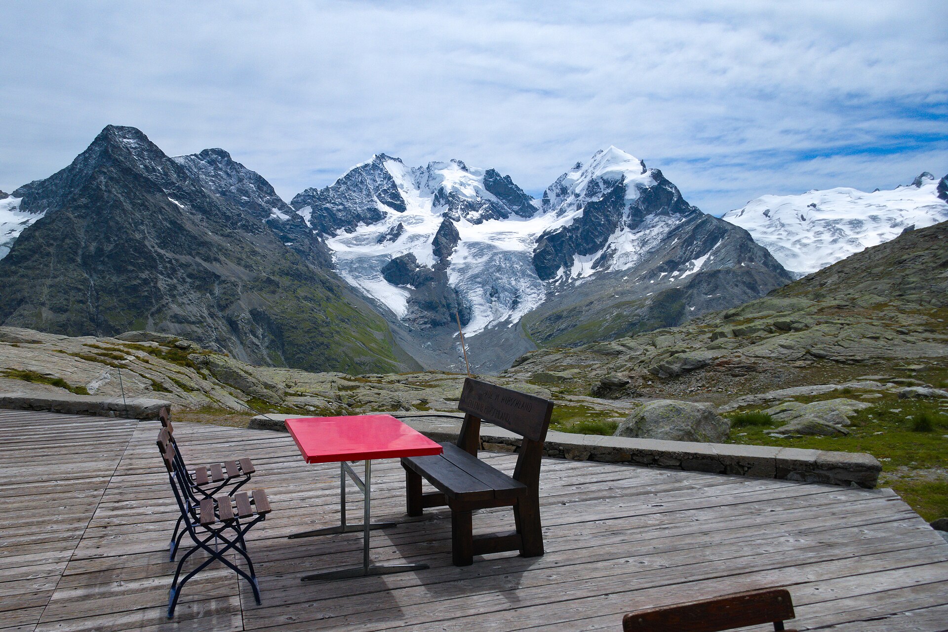
An 8 km walk from the Corvatsch Murtèl station to a 2,755 m saddle facing Piz Bernina and the Roseg glacier.
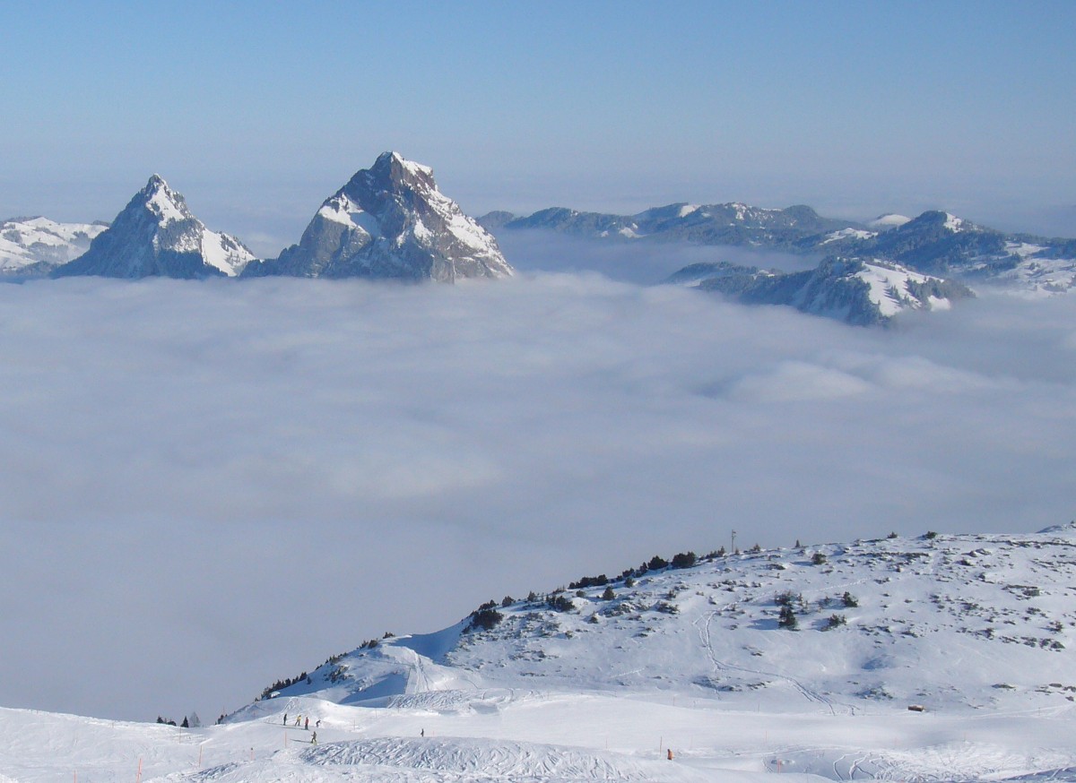
A stunning and lesser-known panoramic ridge trail in the heart of the Schwyz Pre-Alps, leading to the dramatic viewpoint of Furggelenfirst (1,907 m). Nestled directly beneath the iconic, razor-sharp limestone towers of the Great and Little Mythen, the trail offers sweeping vistas over Lake Lucerne (Vierwaldstättersee), Lake Zug, and the rolling green hills of central Switzerland.
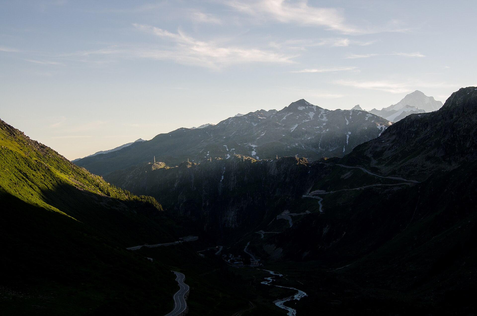
A legendary high-alpine heritage trail exploring the historic Furka Pass (2,429 m) and the birthplace of the River Rhône. Starting near Gletsch or the Furka pass summit, the trail winds past the tongue of the retreating Rhone Glacier, historical mule-track stone walls, and old steam railway viaducts of the Furka Oberalp Bahn, offering dramatic views across the high Goms valley and the Uri Alps.
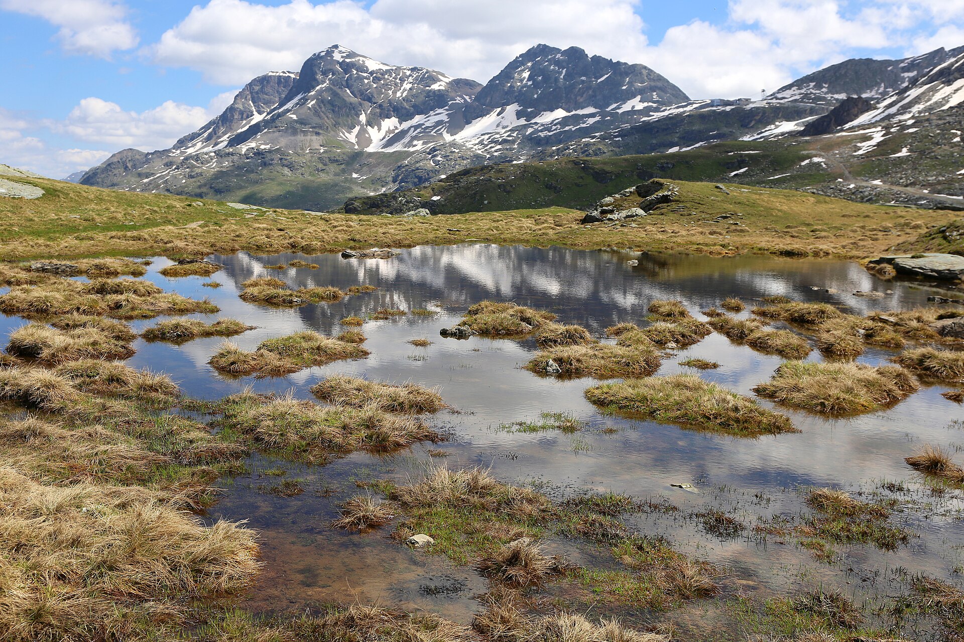
One of the most enchanting family-friendly water hikes in the Upper Engadin. Starting from the Furtschellas mid-station above Sils Maria, the "Wasser-Weg" (Water Trail) winds past four idyllic, crystal-clear mountain tarns—Lej Nair, Lej Zuppò, Lej Chamuera, and Lej Feur—reflecting the dramatic peaks of the Bernina and Albula ranges. The trail meanders through fragrant dwarf pine forests and rolling alpine meadows before descending toward Sils Maria.
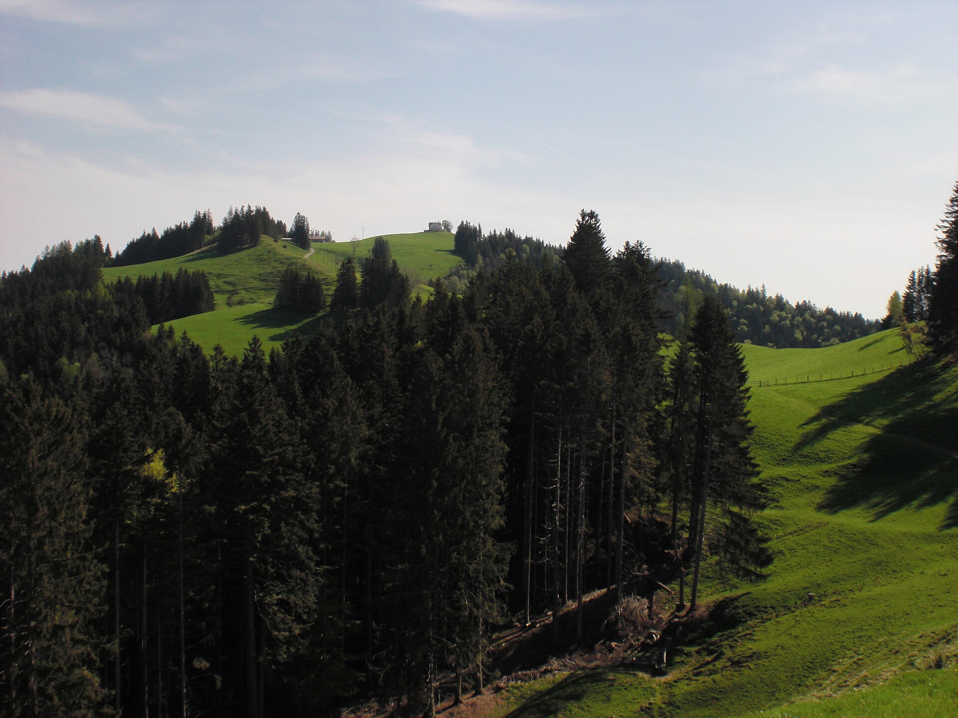
A rolling ridge in the Appenzell hills, with a view of Lake Constance.
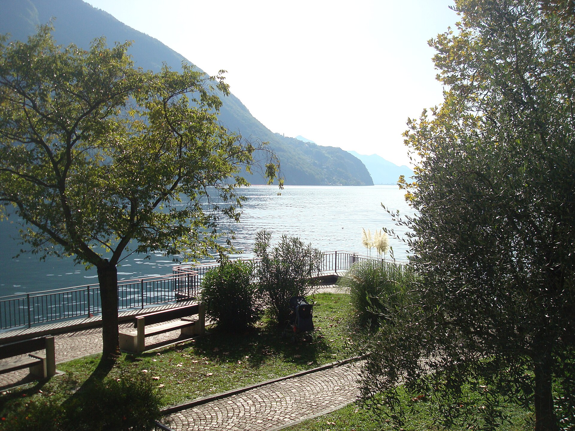
A lakeside walk with olive trees, palms, and a boat ride home.
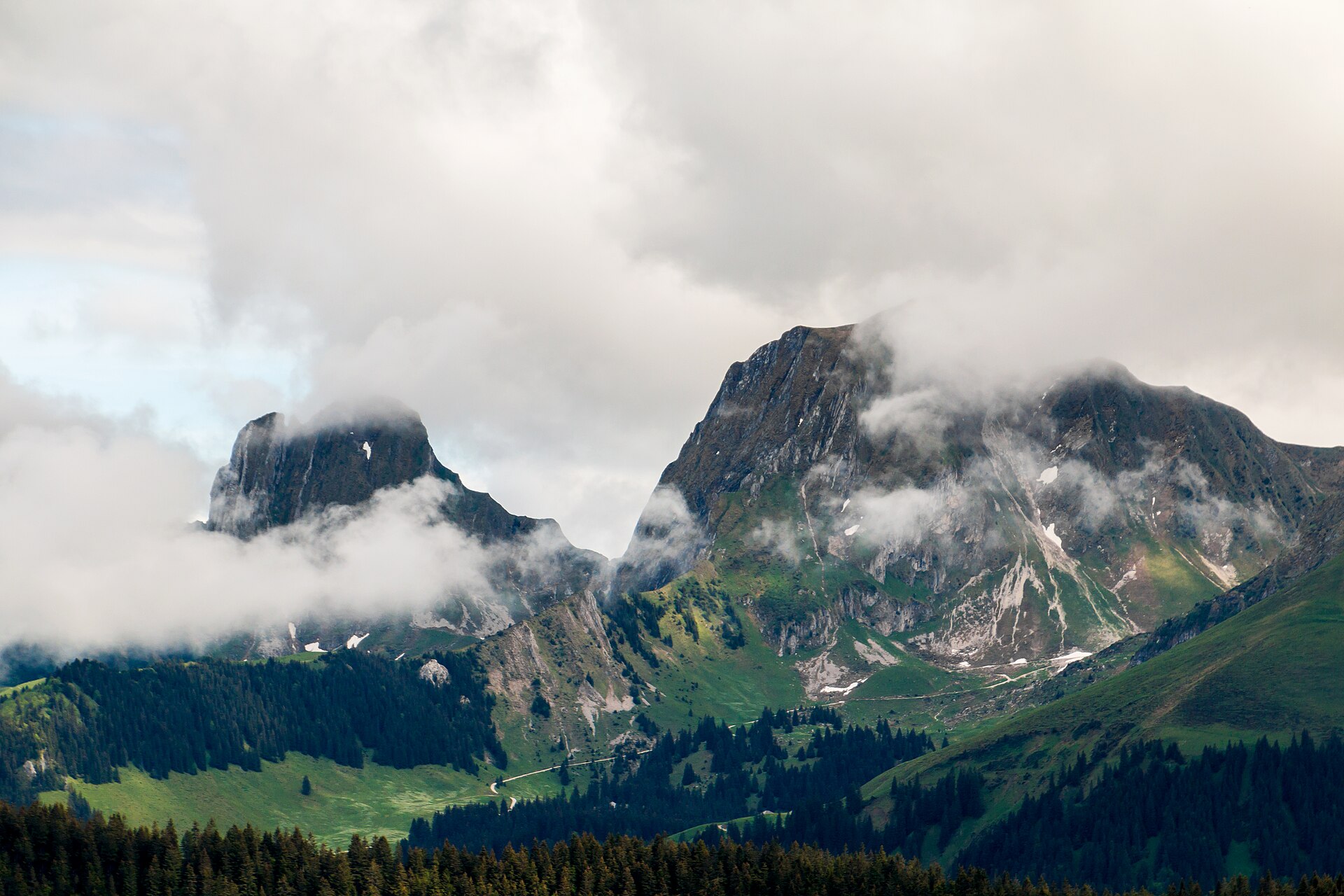
The highest summit of the Gantrisch Nature Park, with a wide view of the Plateau.
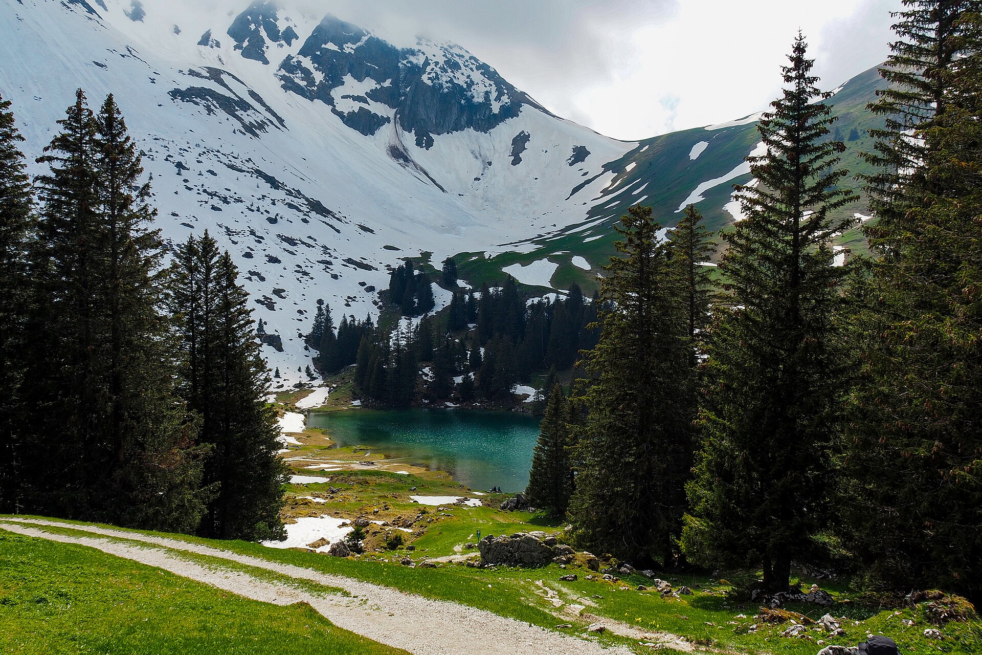
A small lake in a nature park of moors and pastures, below the Gantrisch peaks.
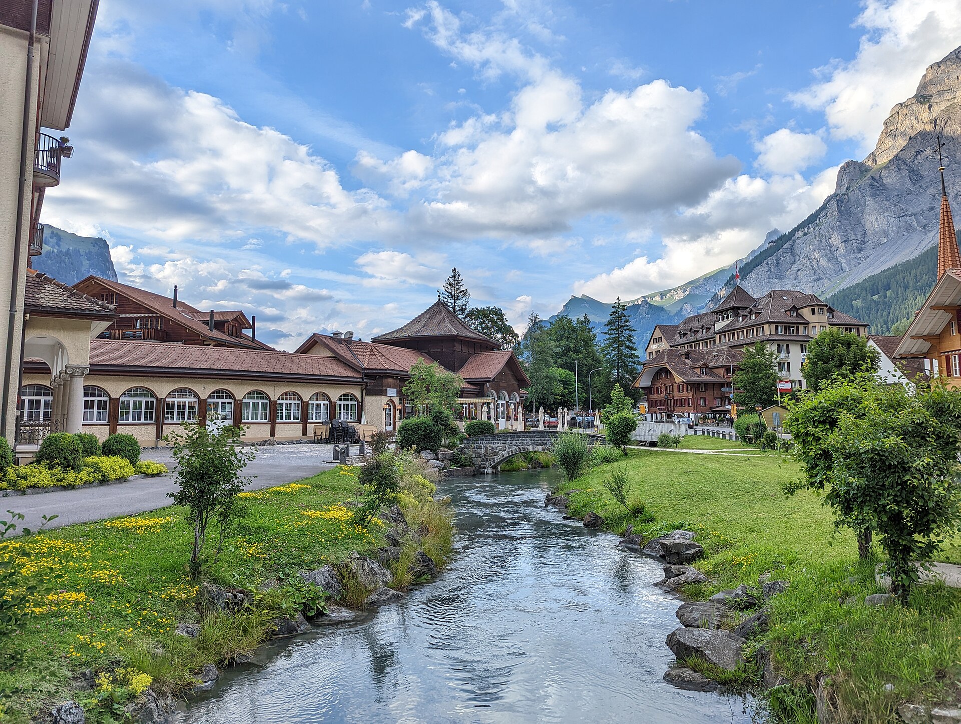
A wild glacial valley at the end of a narrow rock road.
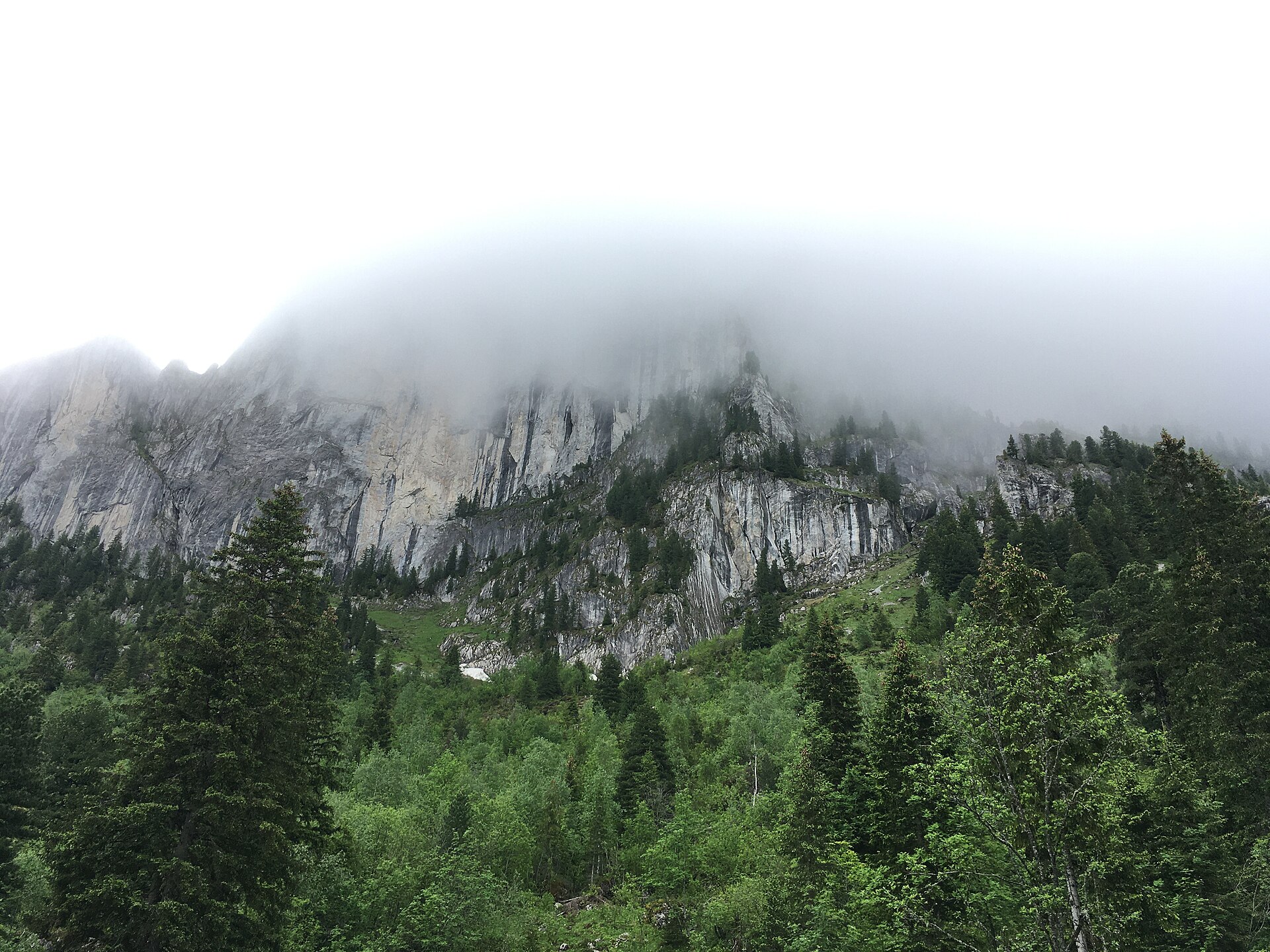
A wall of limestone teeth, the Dolomites of the Fribourg Alps.
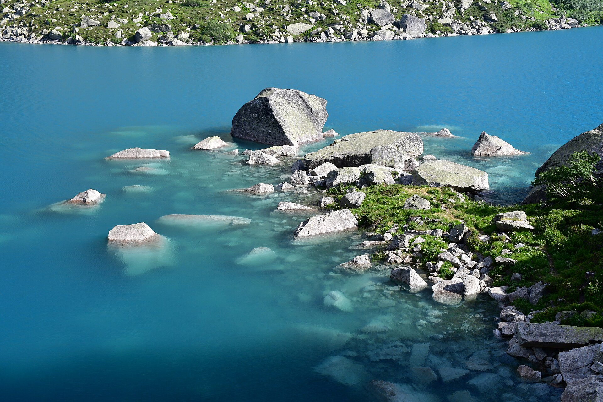
A steep granite approach to a hut above Europe's steepest funicular.
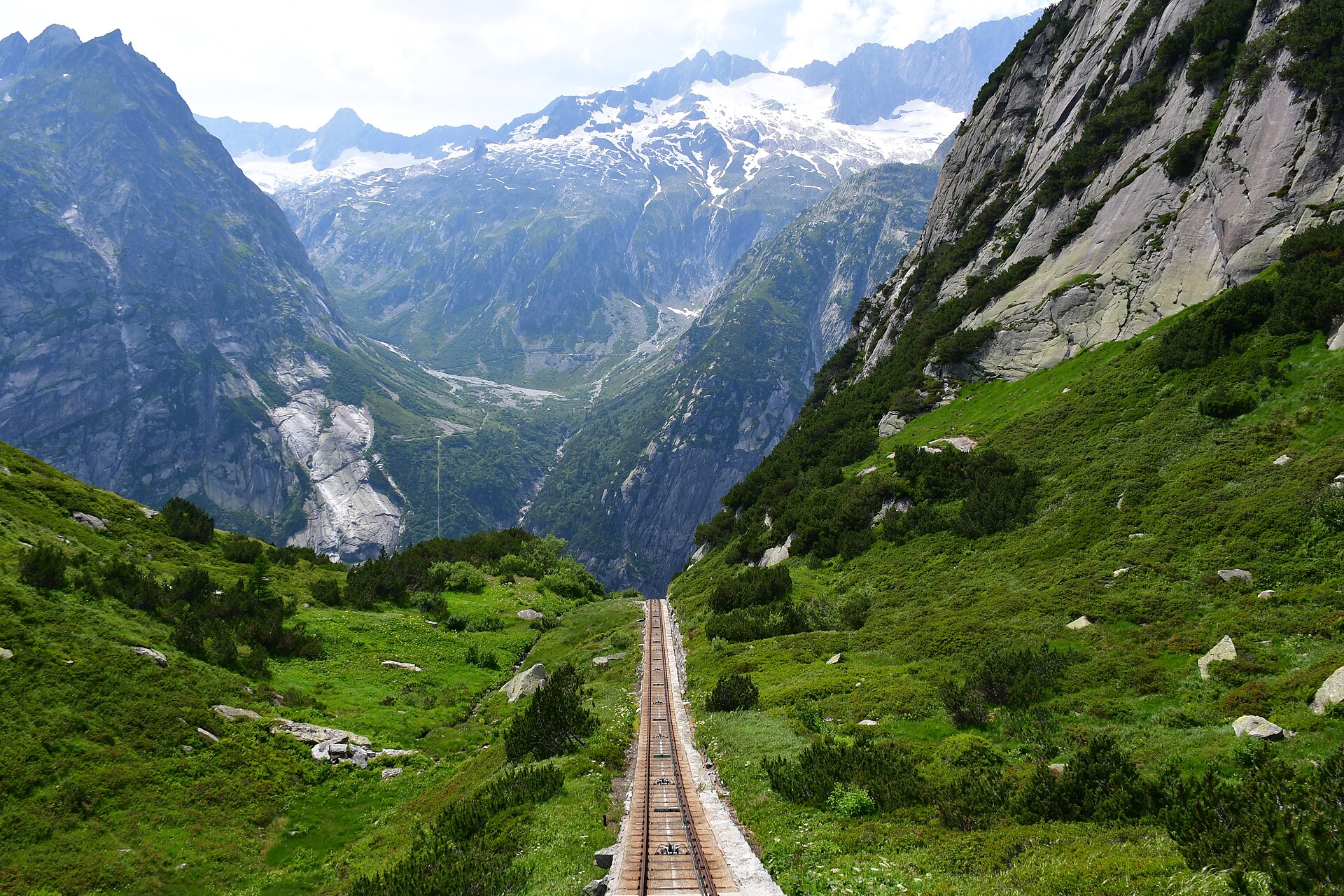
A 5 km easy loop around a turquoise reservoir reached by Europe's steepest funicular in the Grimsel region.
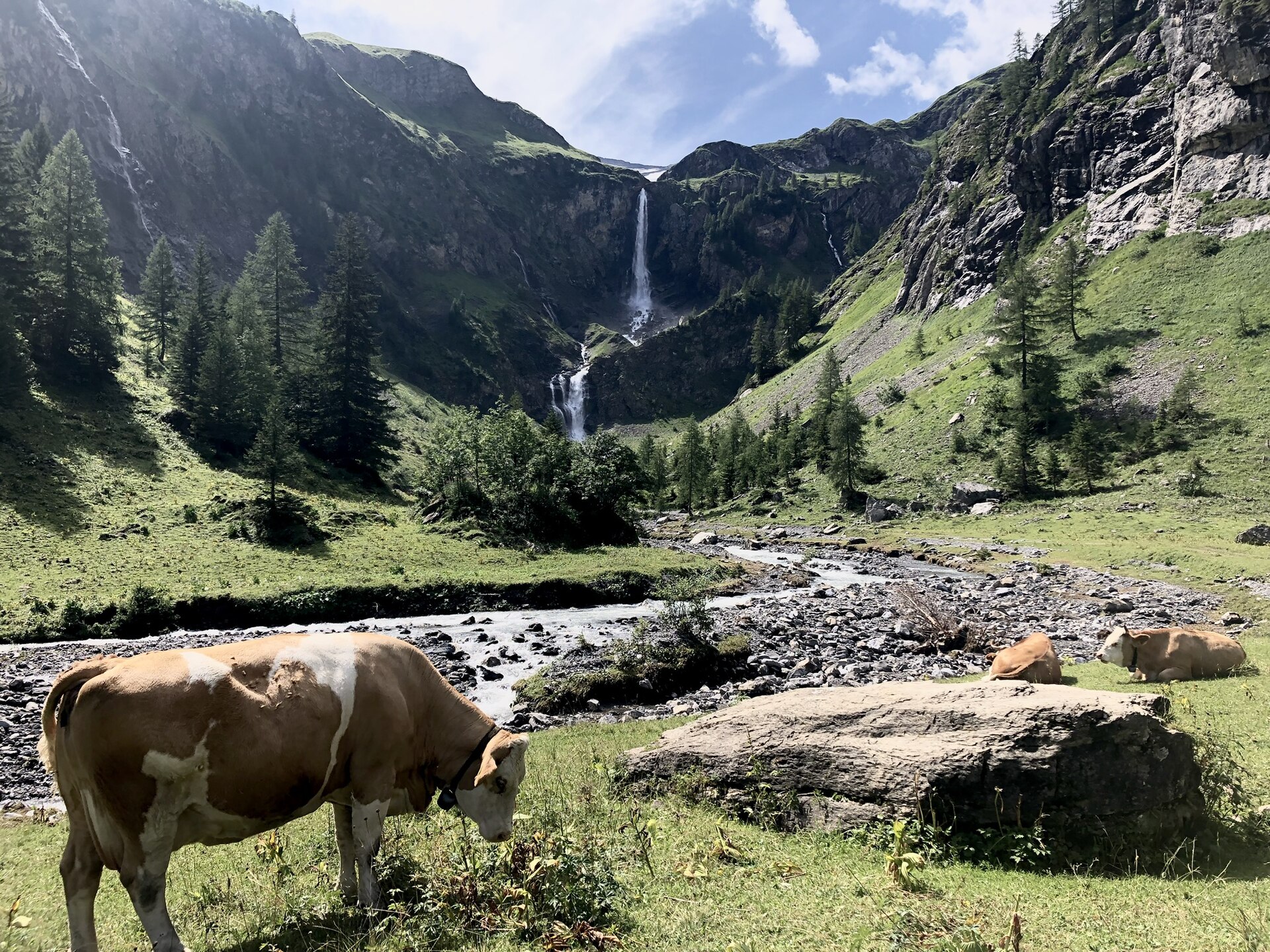
A waterfall in a bowl of cliffs, and a hut above it near the Geltenhorn glacier.
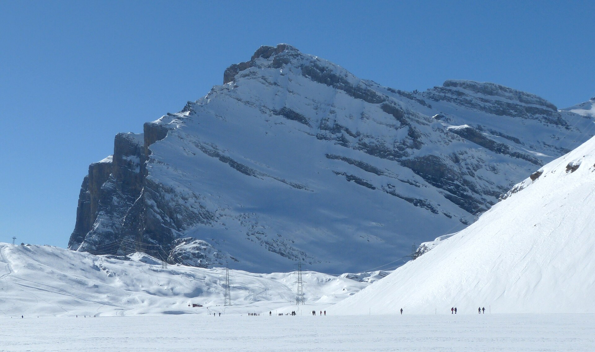
Cross a historic pass on foot, with a lake and a thermal town at either end.
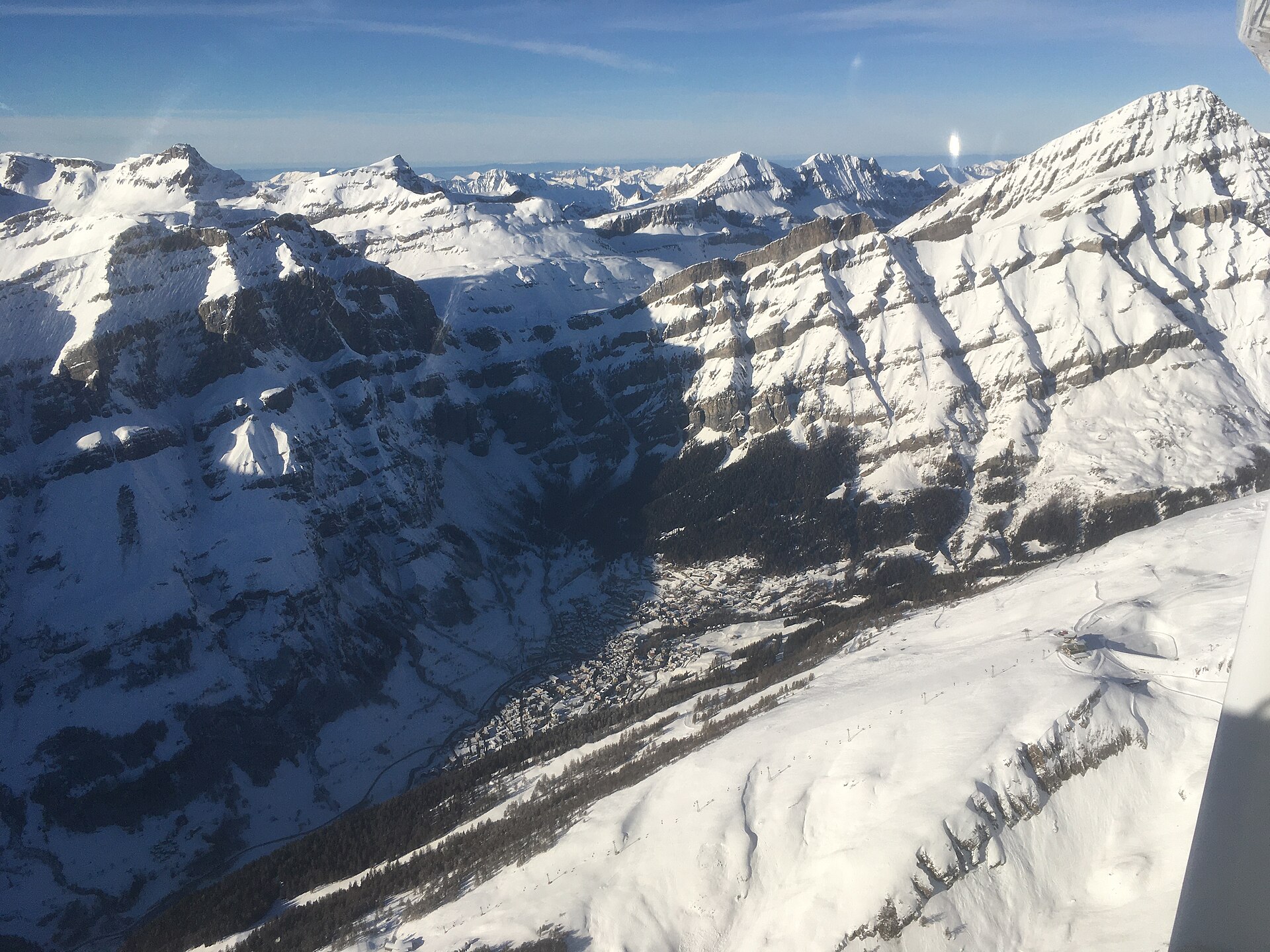
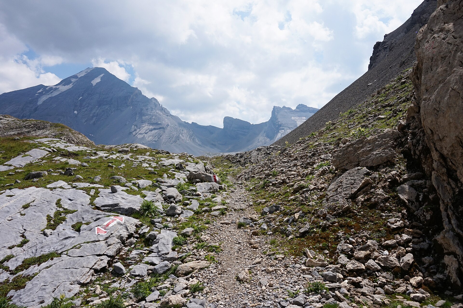
One of the most famous historical pass crossings in Switzerland, linking Leukerbad in Canton Valais with Sunnbüel above Kandersteg in Canton Bern. Walking in the footsteps of famous historical figures like Goethe, Mark Twain, and Picasso, the trail traverses a dramatic limestone high-alpine plateau beneath the towering Daubenhorn and Altels peaks, offering sweeping panoramic views over the Valais Alps and the deep blue waters of Daubensee.
The old steep cliff path up to the Gemmi Pass, above the thermal town.
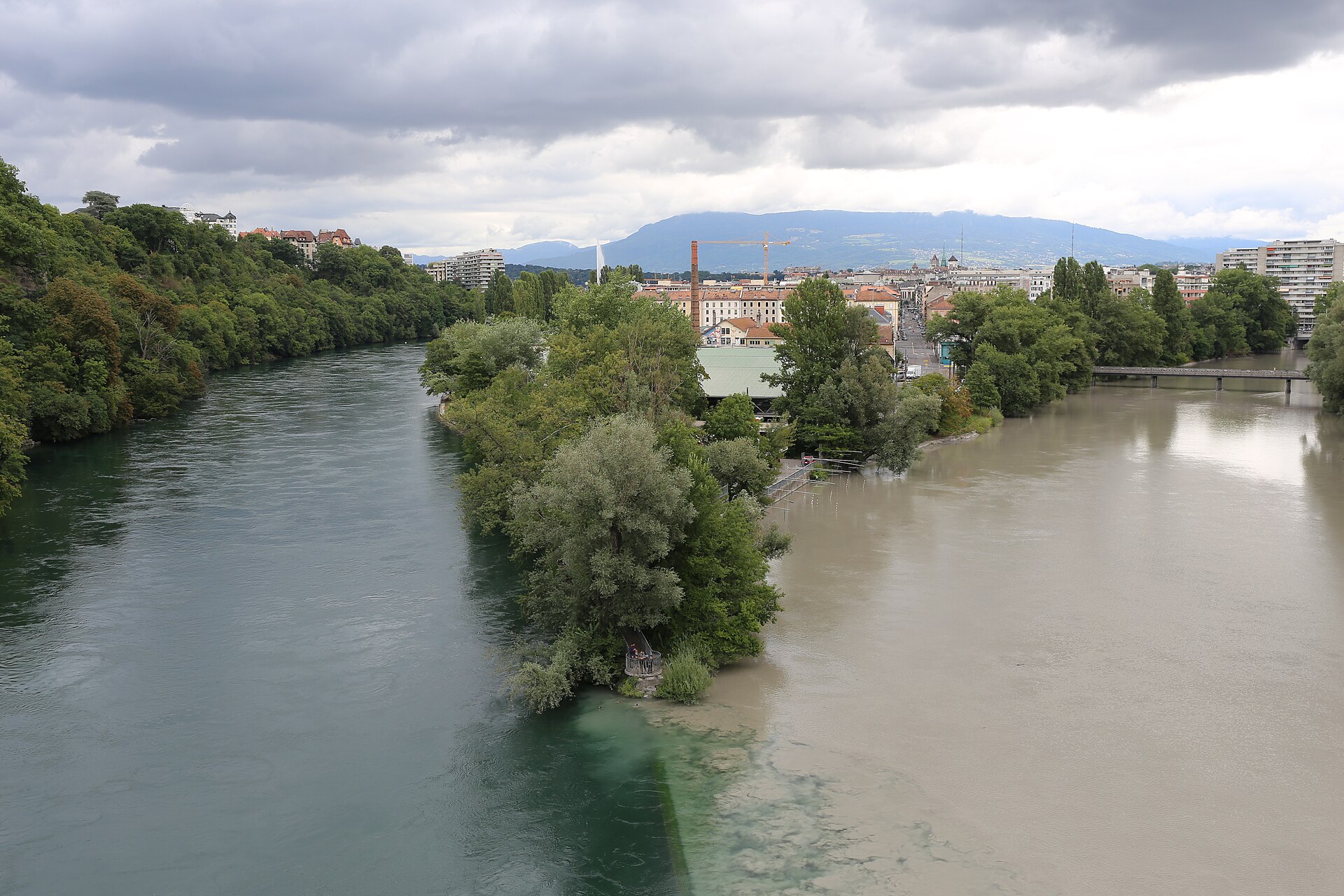
A flat city walk to the Jonction, where the clear blue Rhône and the grey, silty Arve meet and run side by side before mixing.
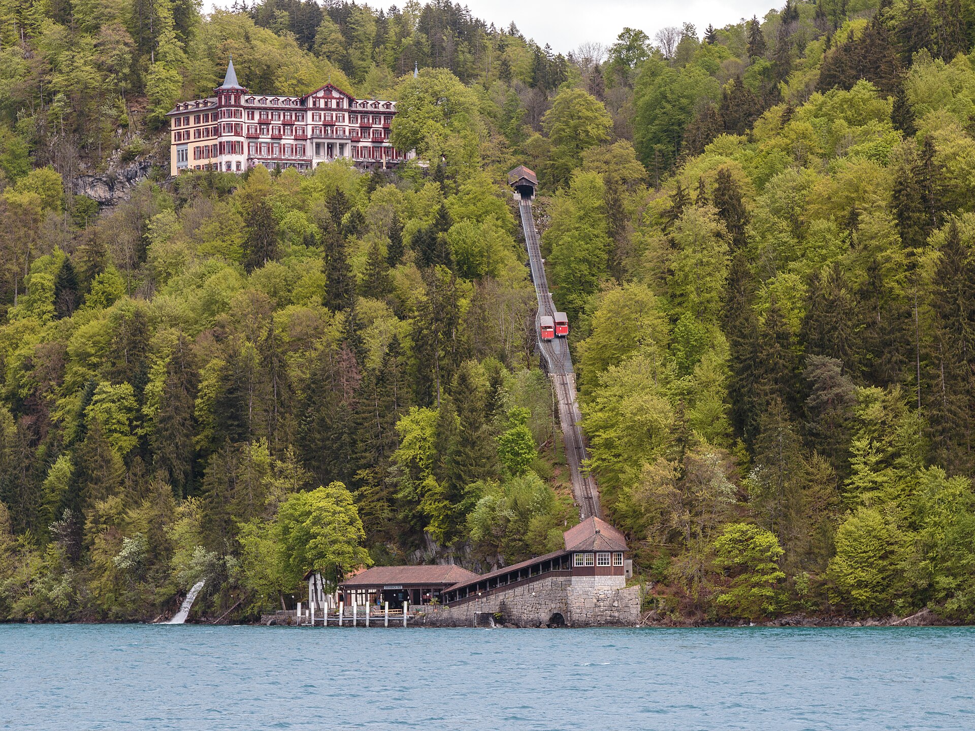
A forest path to a fourteen-step waterfall and a grand old hotel.
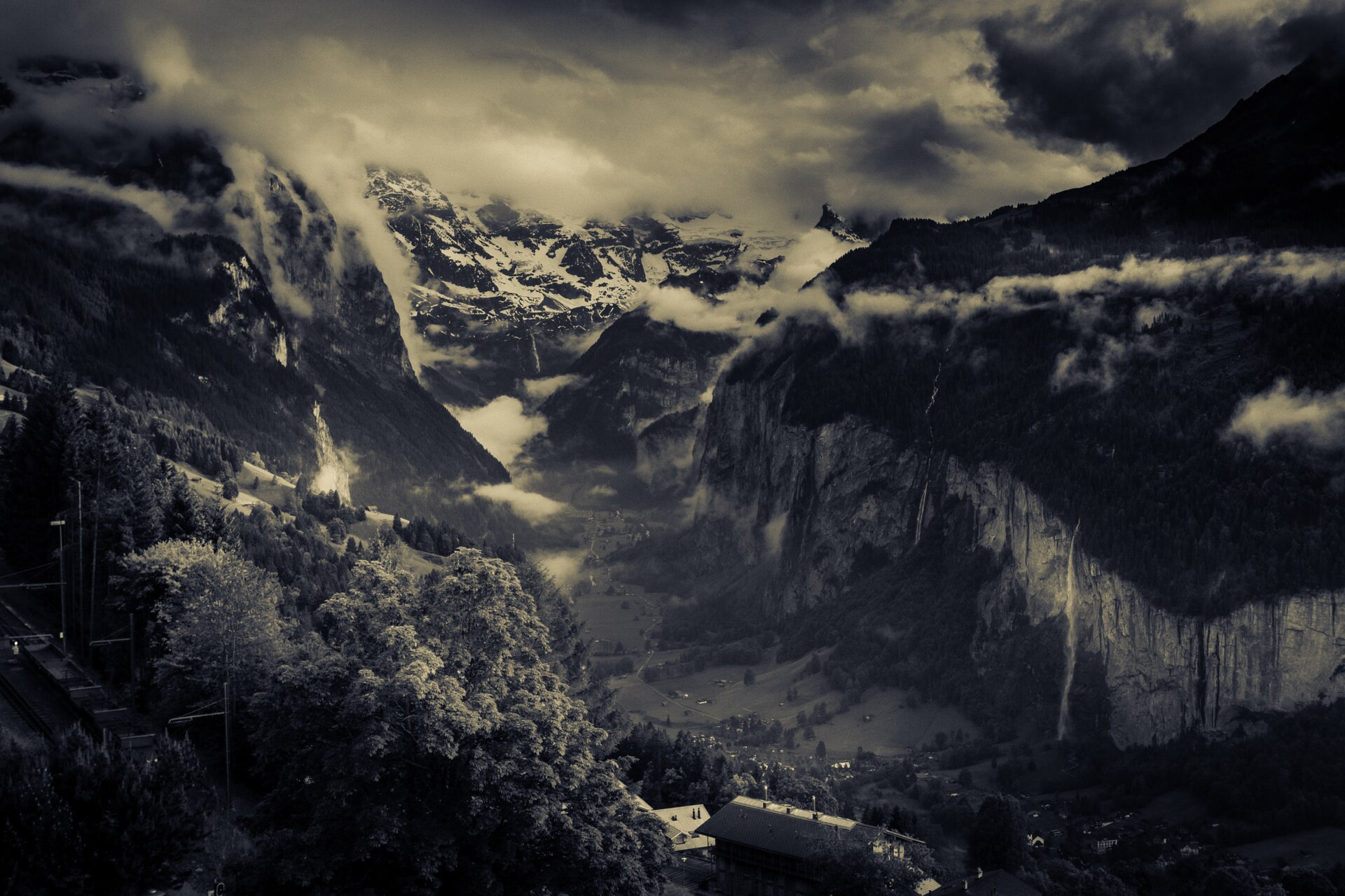
A quintessential and gentle alpine walking route linking two of the most picturesque car-free villages in the Swiss Alps: Gimmelwald and Mürren. Perched high on the cliff terraces above the deep Lauterbrunnen Valley, the trail meanders past traditional wooden chalets, blooming flower meadows, and grazing cows, offering uninterrupted, monumental front-row views of the Eiger, Mönch, and Jungfrau.
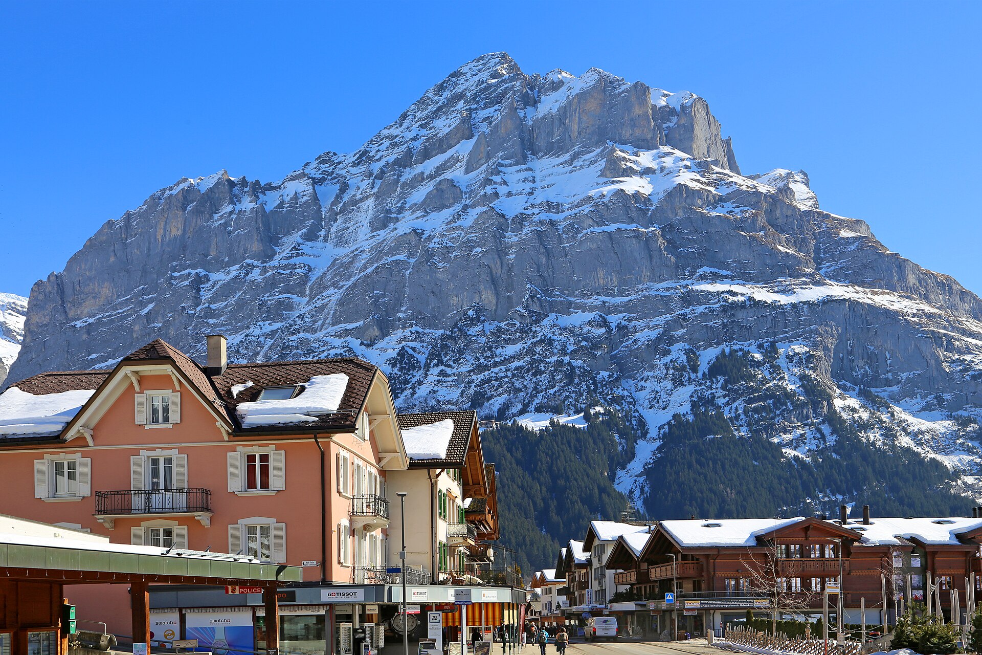
A hut under the Wetterhorn, reached by a steep path and cable sections.
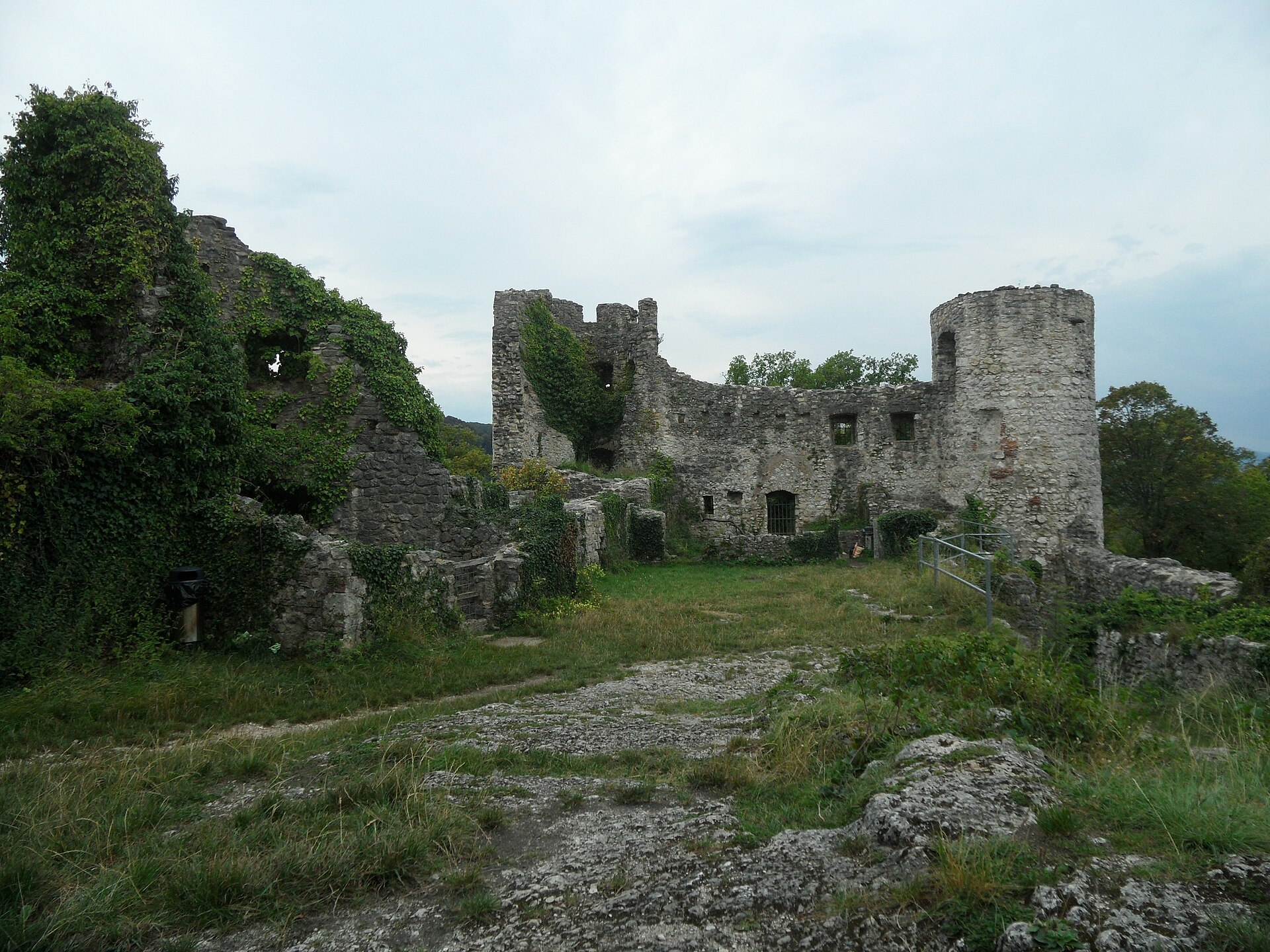
A concrete masterpiece of anthroposophy and a castle ruin on the hill behind it.
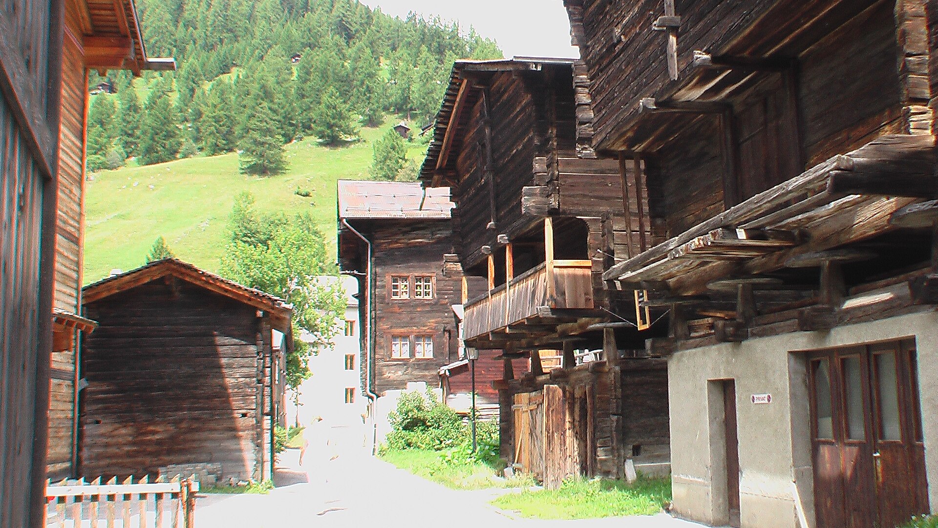
A flat valley path beside the Rhône, through villages of dark wooden houses.
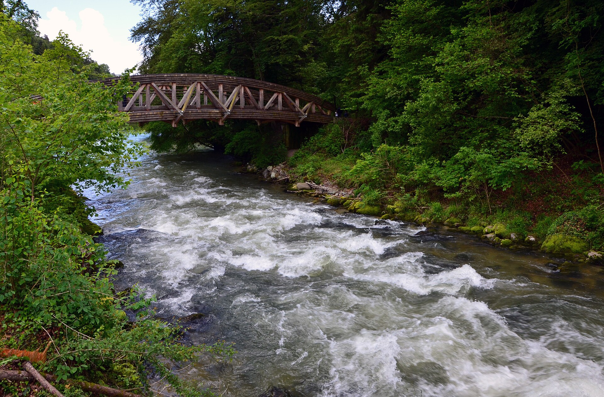
A wild little gorge ten minutes from the lake, with a medieval village at the start.
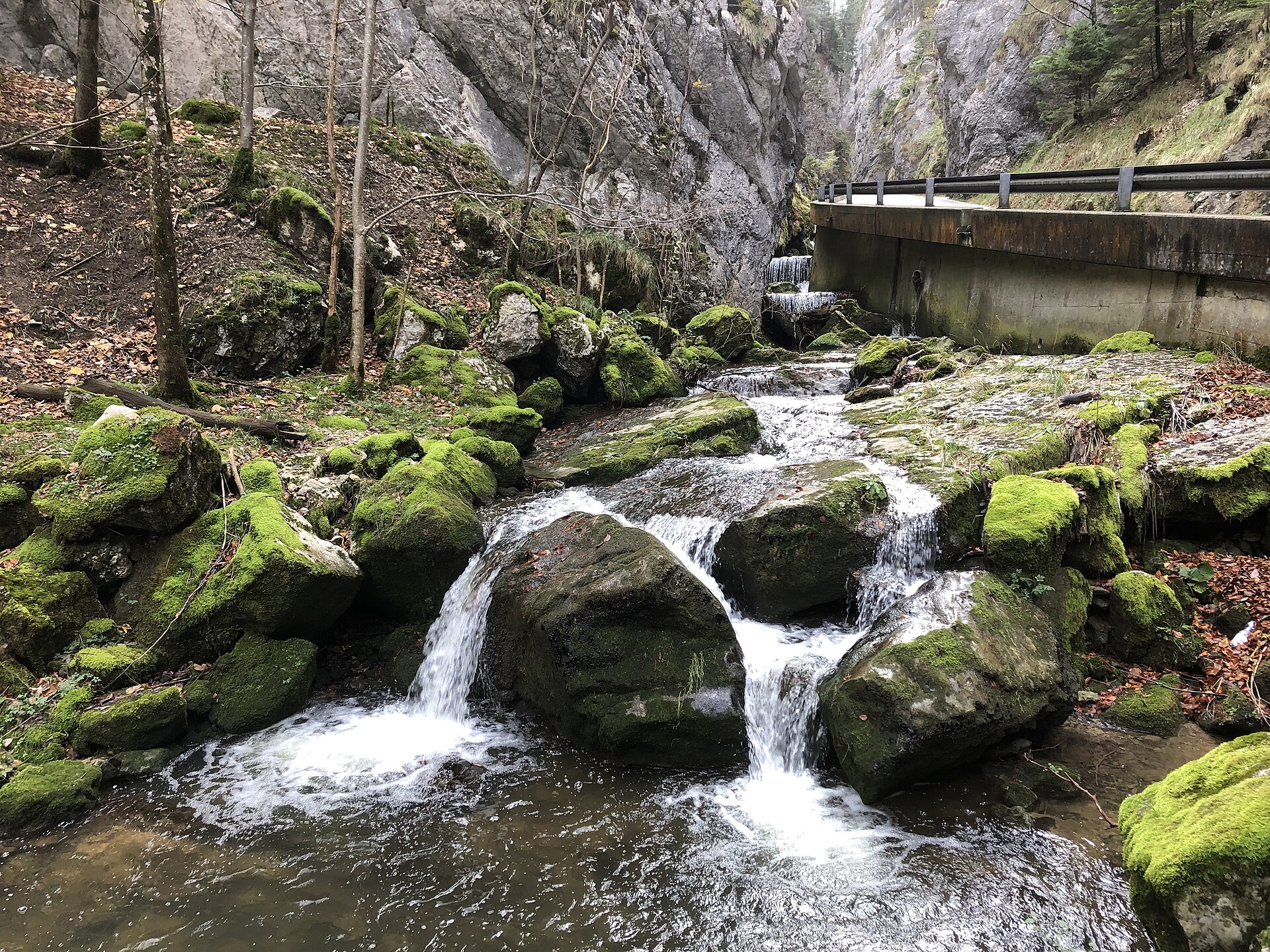
A shaded, near-level walk through a narrow limestone gorge of the Bernese Jura, following the Birse between steep rock walls.
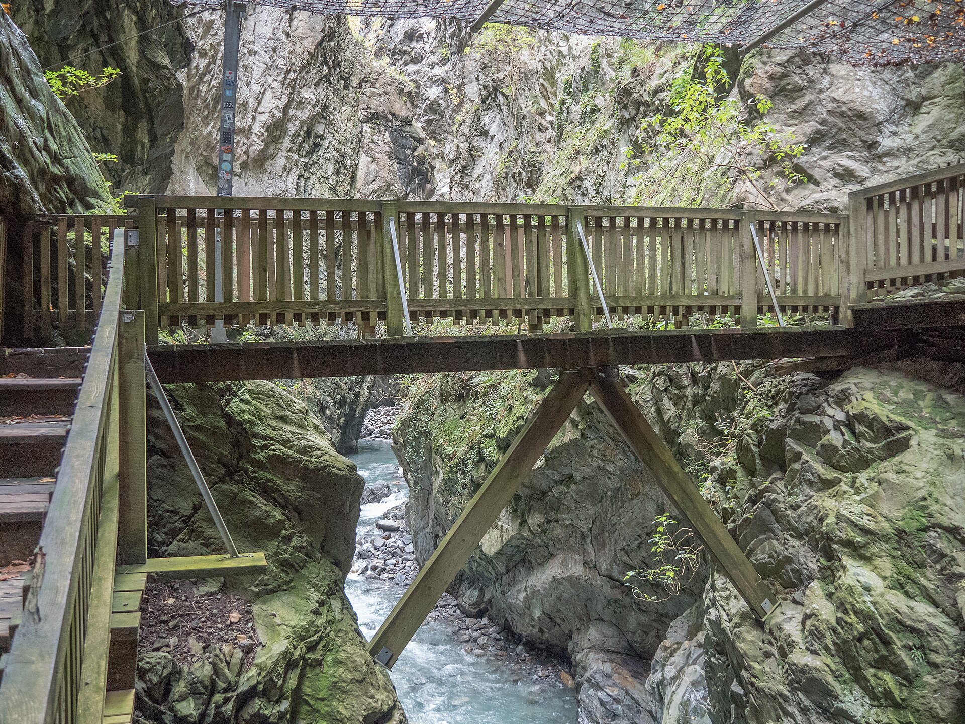
A walkway through a narrow gorge, with the Trient river thundering below.
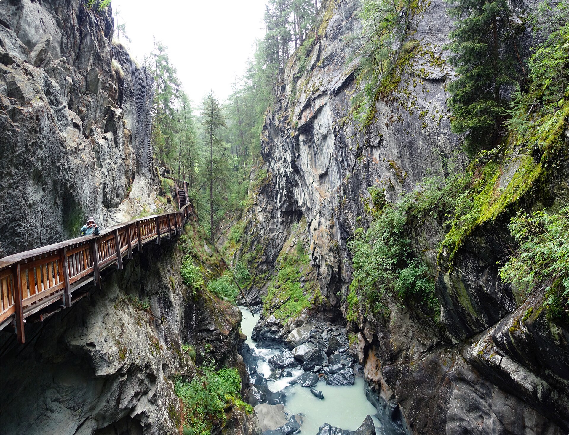
A short walk through a narrow gorge and up to the Matterhorn's favourite hamlet.
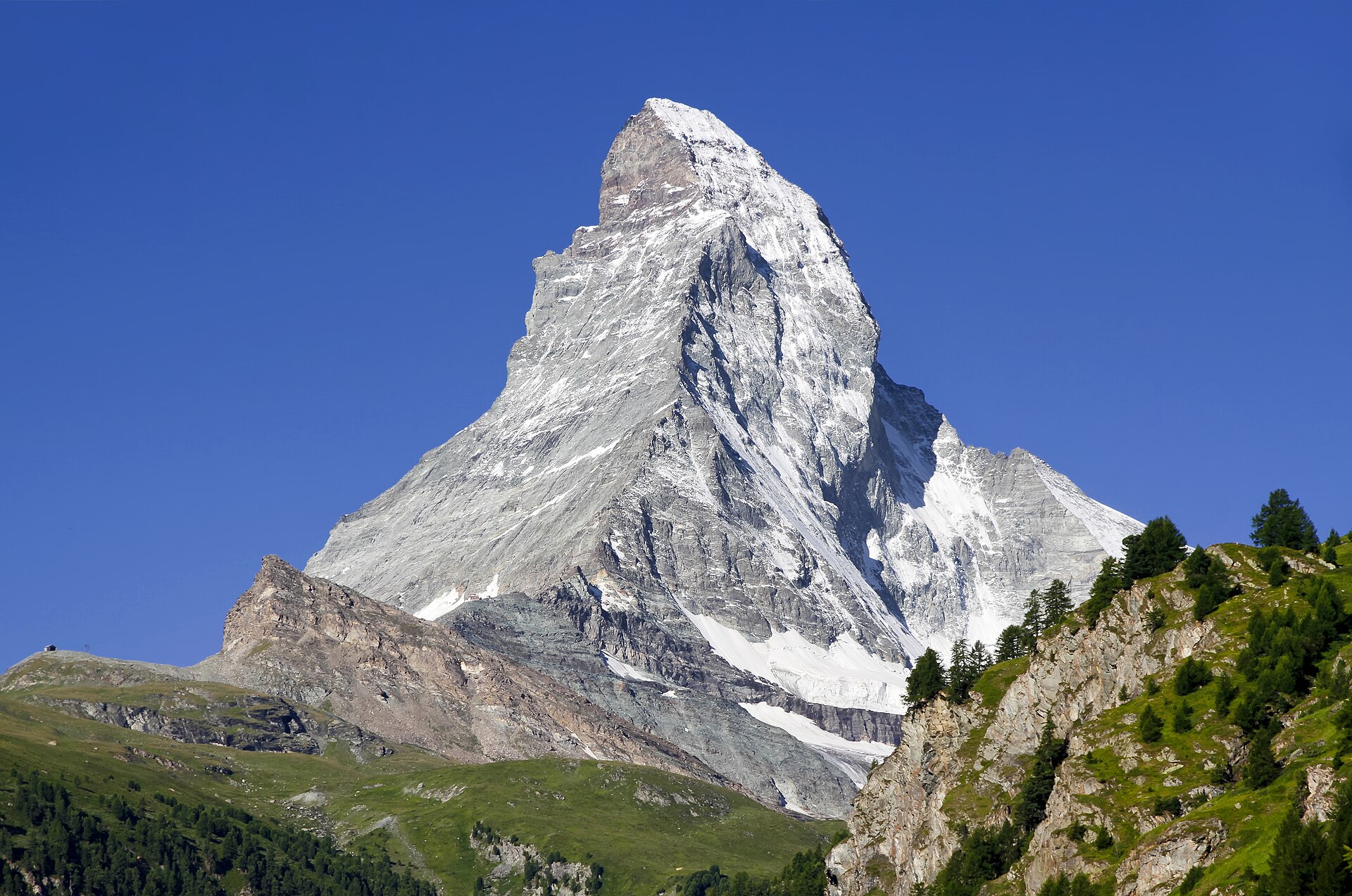
A 9 km downhill walk from 3,089 m past the Matterhorn-mirroring Riffelsee to Riffelalp above Zermatt.
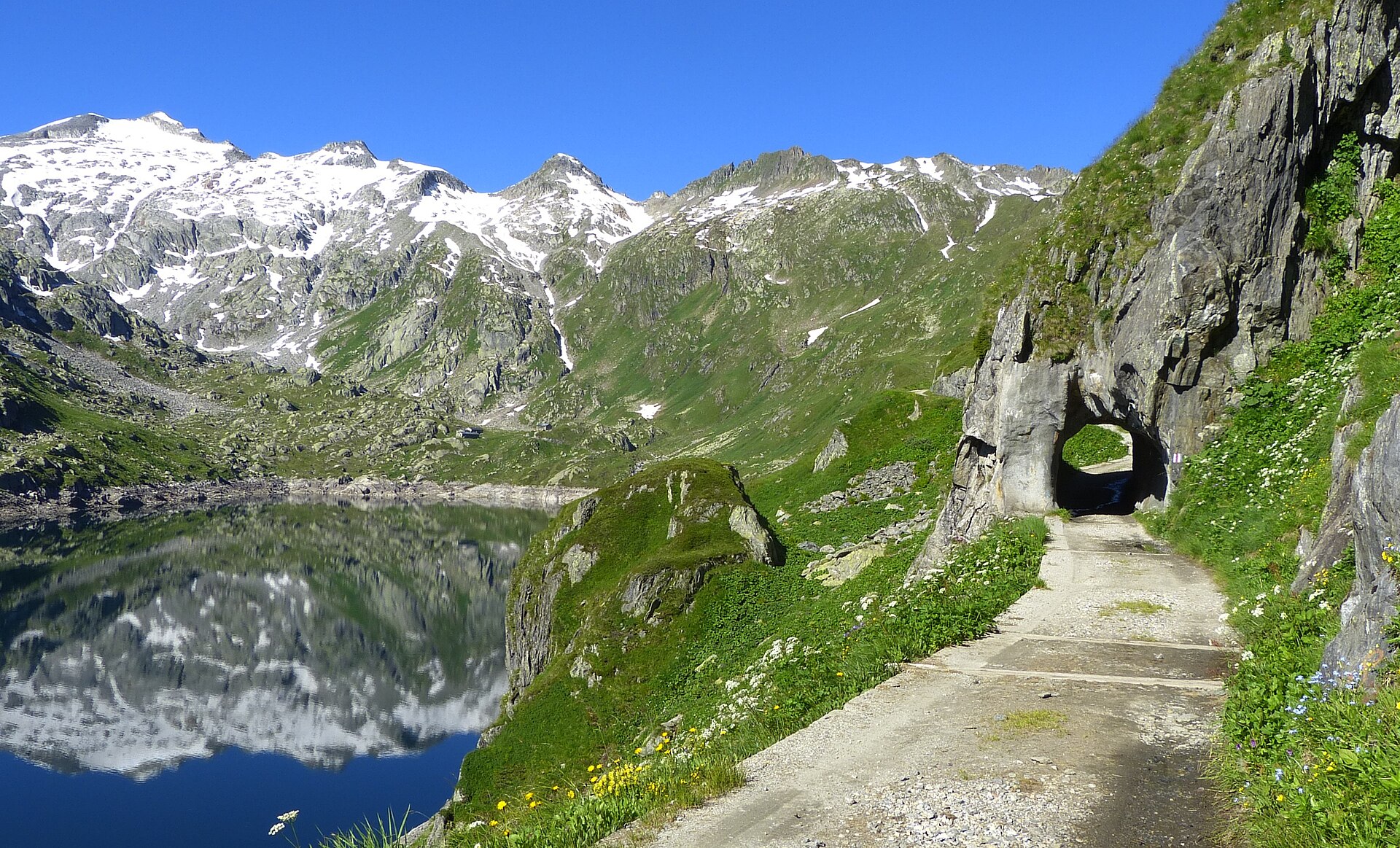
Two high lakes in the birthplace of four rivers, on the old route between north and south.
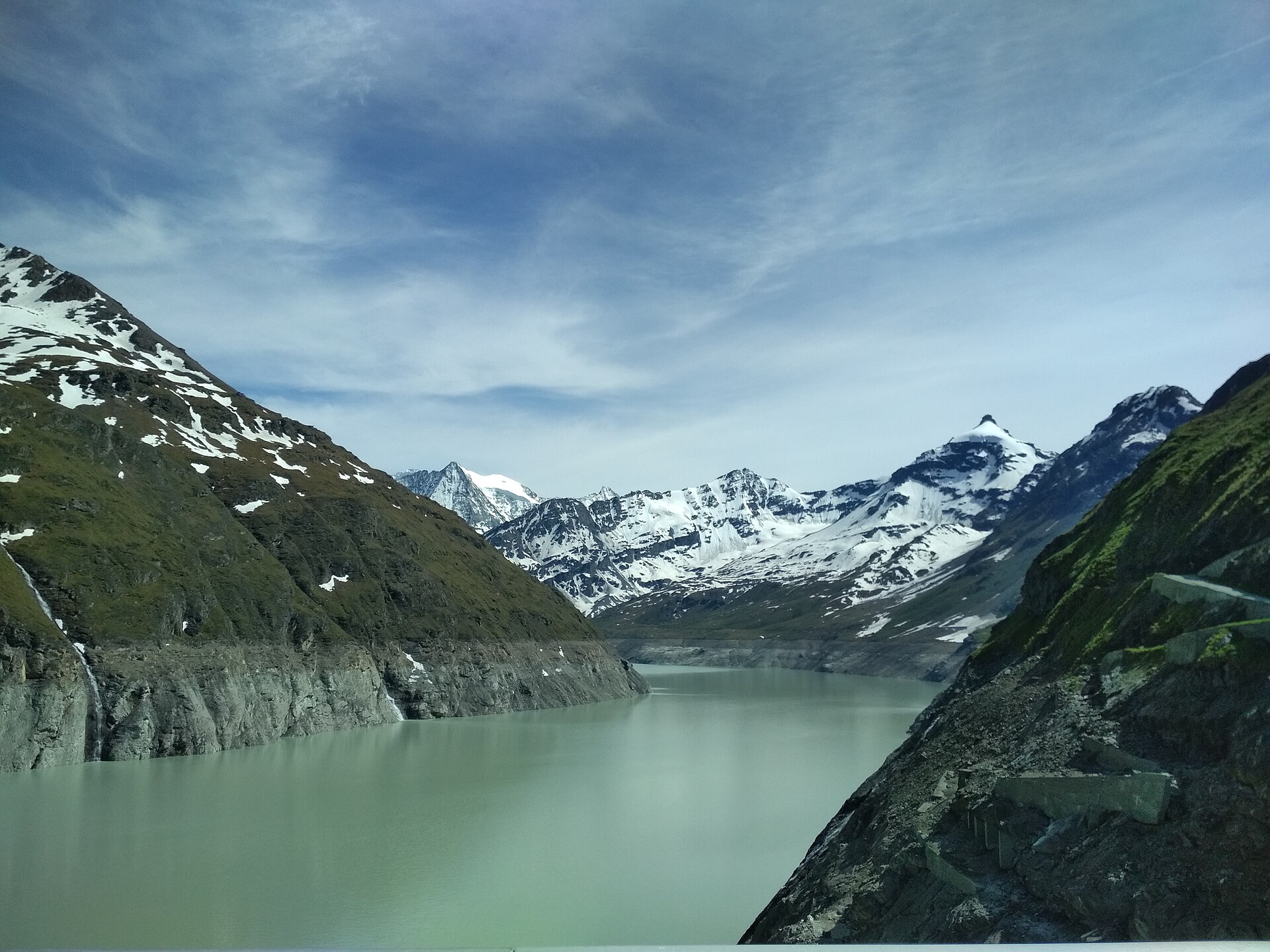
The tallest gravity dam in the world, and a long lake path at its foot.
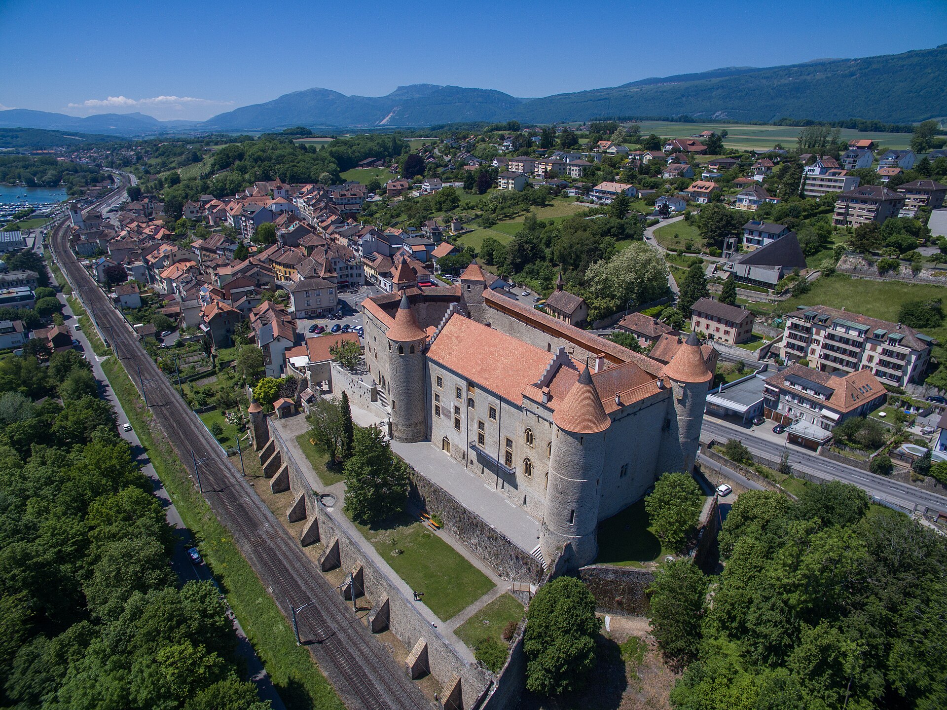
A lakeside walk to a castle where a famous medieval battle was fought.
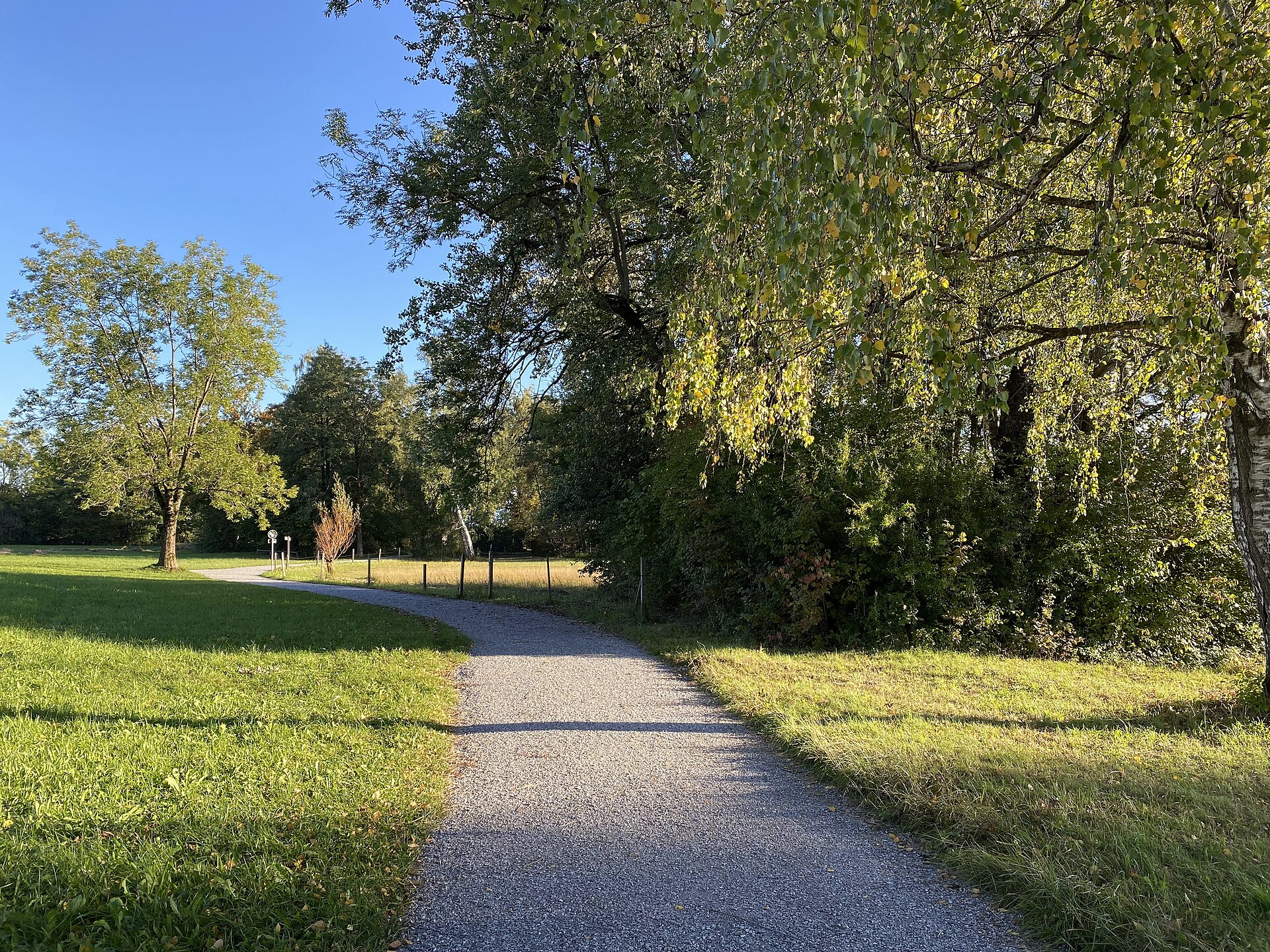
A flat lakeside walk through the Greifensee nature reserve from Maur to the little castle town of Greifensee, reed beds and beaches en route.
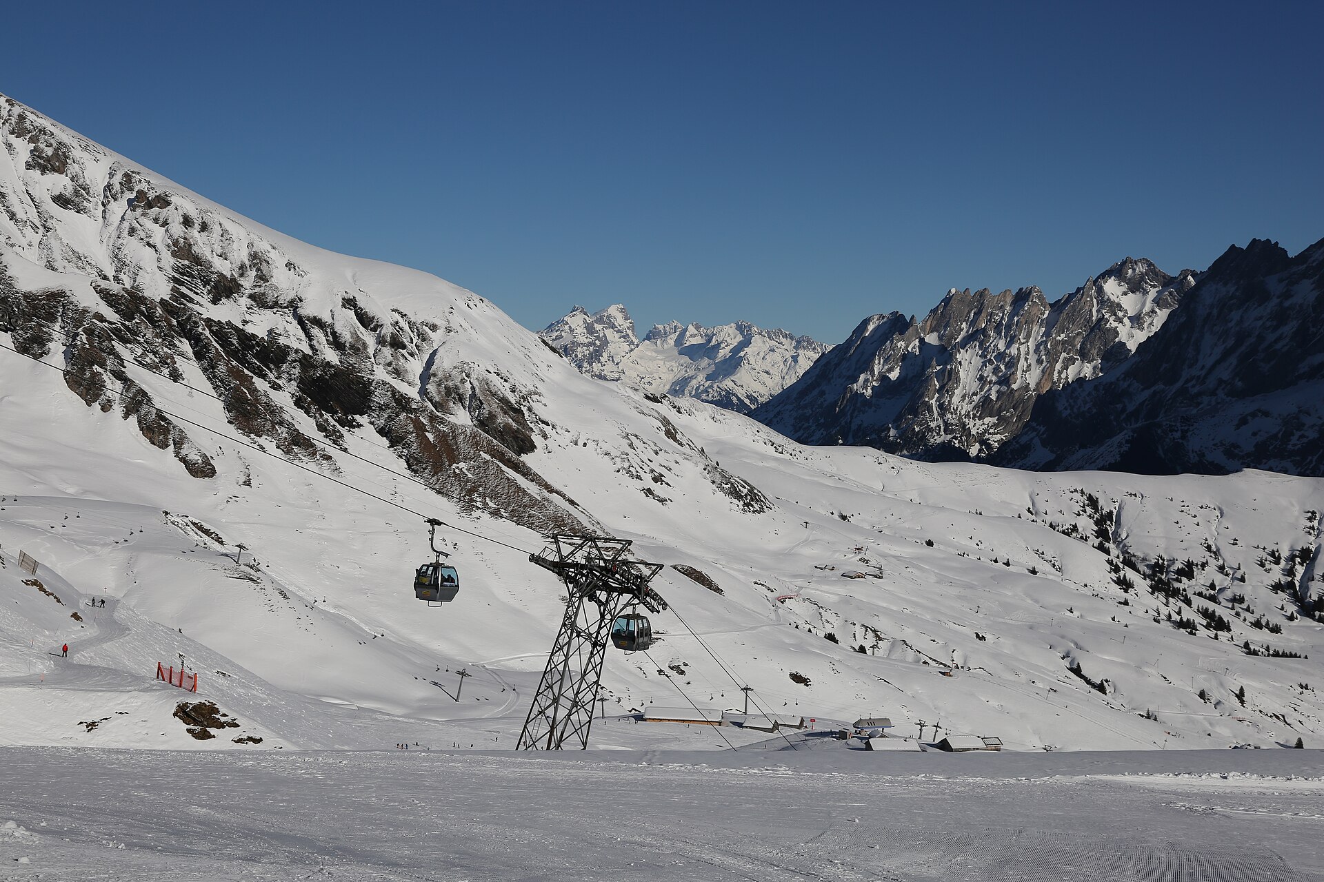
Widely regarded as one of the ultimate classic ridge walks in the Swiss Alps. Starting from the Grindelwald First summit station, the epic trail traverses the high-altitude ridge beneath the Faulhorn and Grosse Scheidegg summits before undulating along the breathtaking ridge high above Lake Brienz and Lake Thun toward Schynige Platte. The route offers continuous 360-degree views of the Eiger, Mönch, Jungfrau, and the shimmering turquoise lakes below.
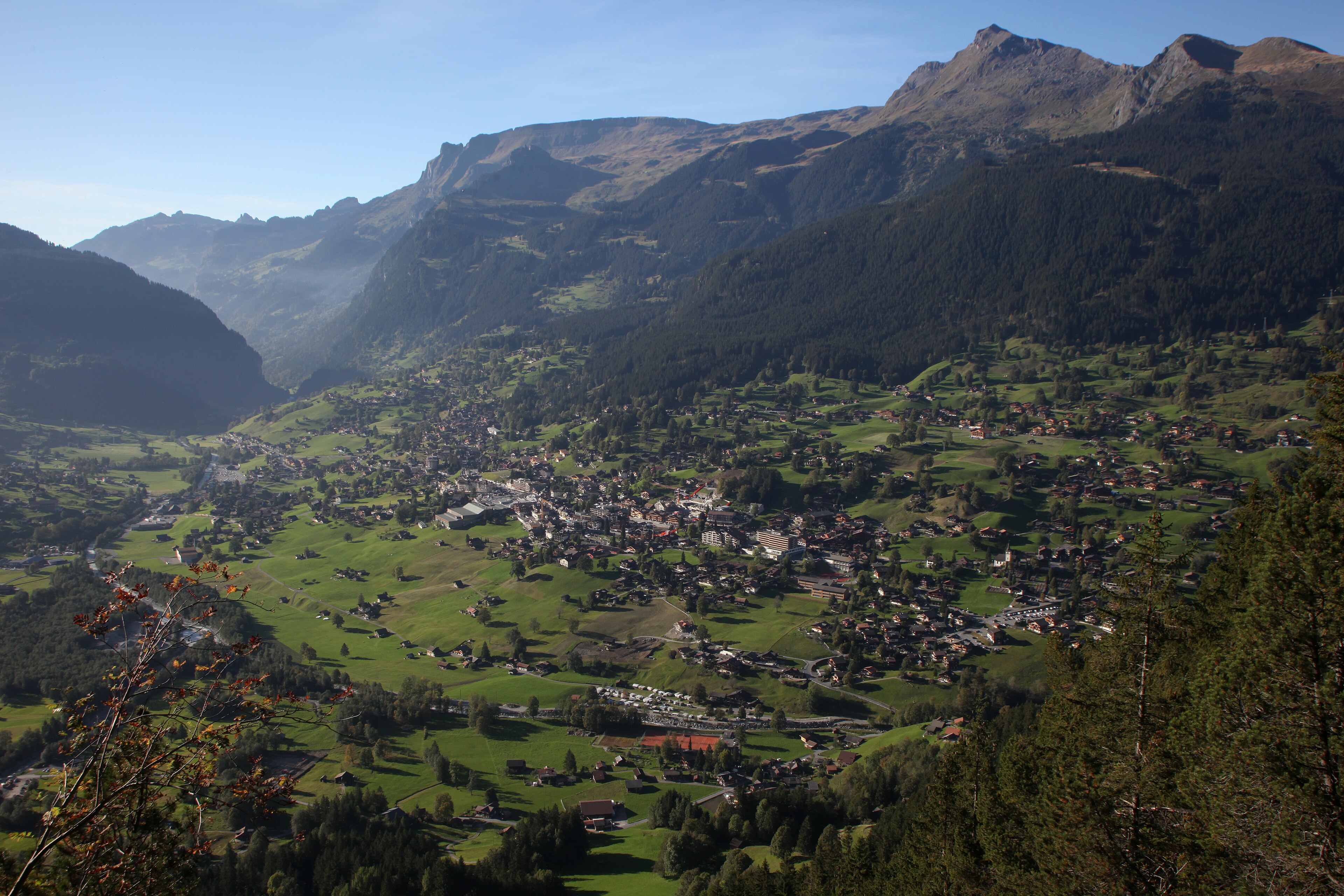
A walkway through a gorge cut by glacier water, and a cable car to a balcony view of the Eiger.
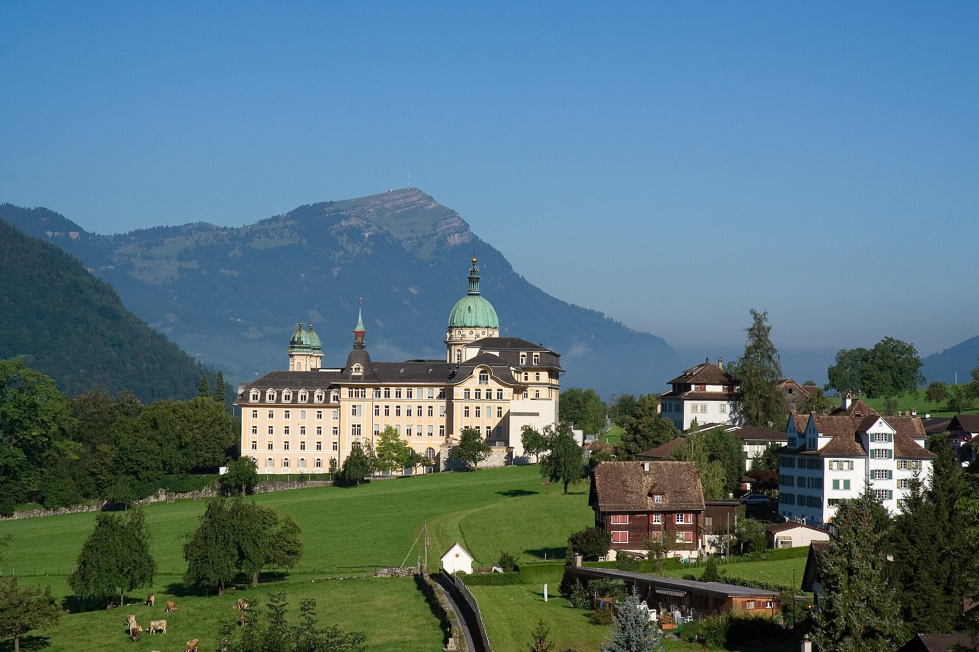
A steep direct climb up 47 blasted hairpins from Holzegg to the iconic 1,898 m limestone pyramid above Schwyz.
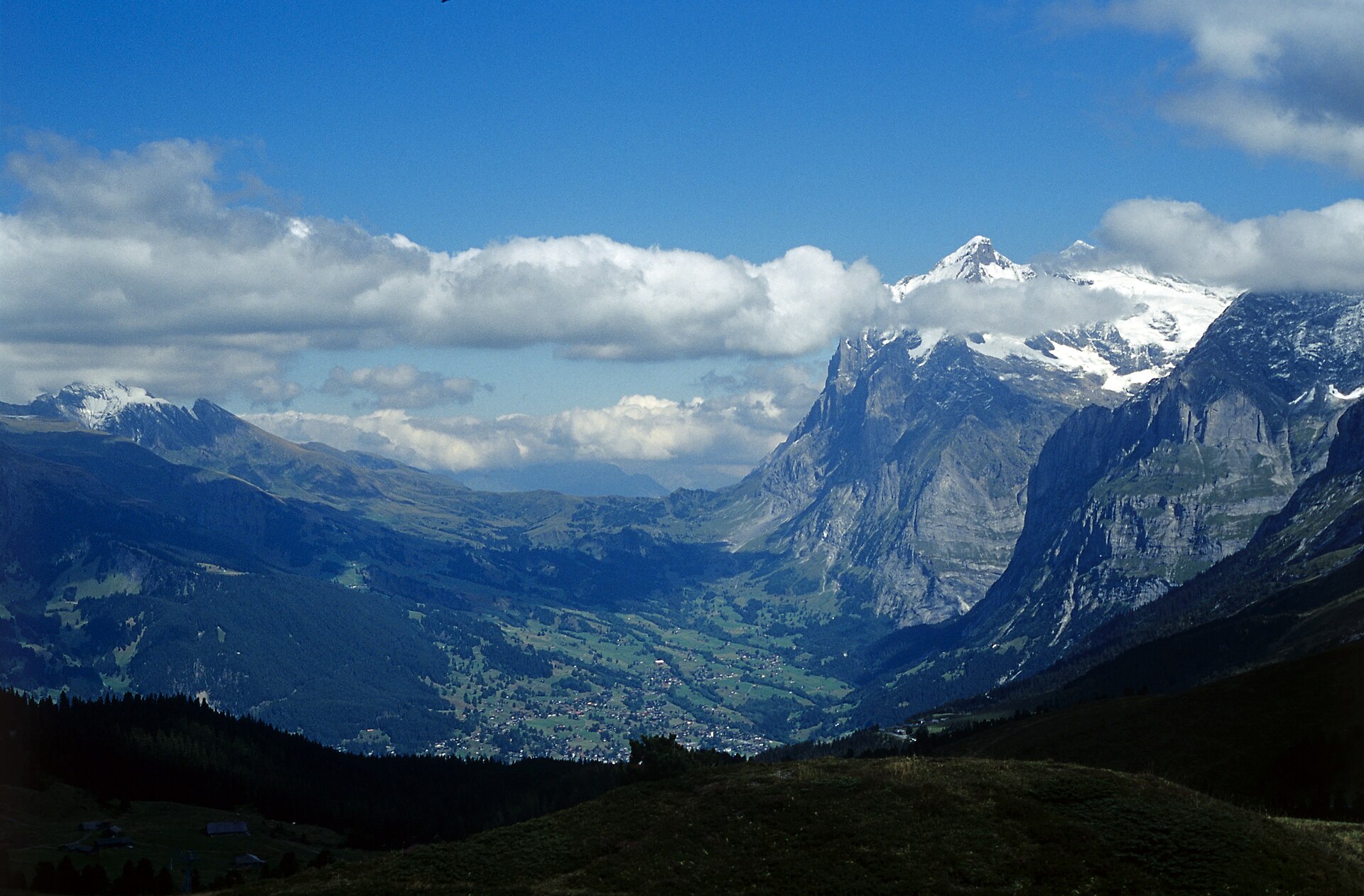
One of the most scenic and rewarding high-alpine ridge walks in the Bernese Oberland. Starting from the historic Grosse Scheidegg pass (1,962 m), the trail meanders along sun-drenched alpine pastures beneath the towering jagged rock pyramids of the Wetterhorn and Schreckhorn, offering expansive panoramic views over the Grindelwald valley and the surrounding glaciers before descending to the Bort middle station.
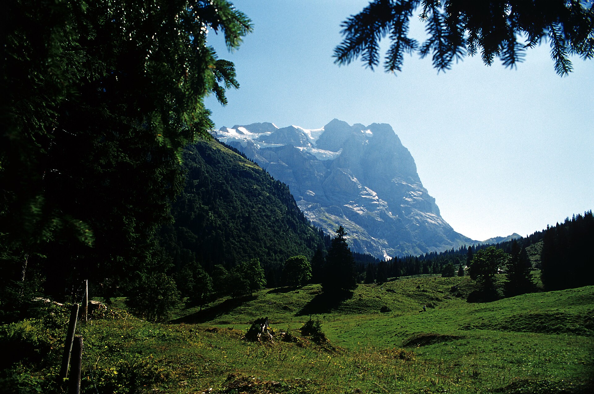
A historic pass road, with the Wetterhorn overhead, walked downhill.
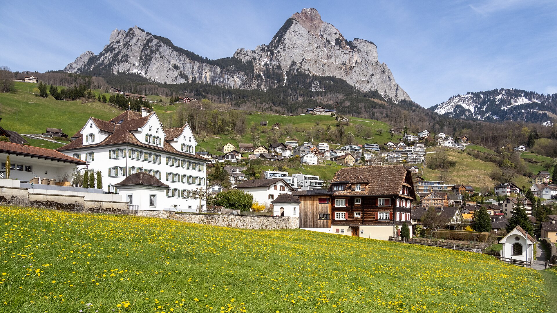
A steep zigzag path to a limestone summit with a lake view in every direction.
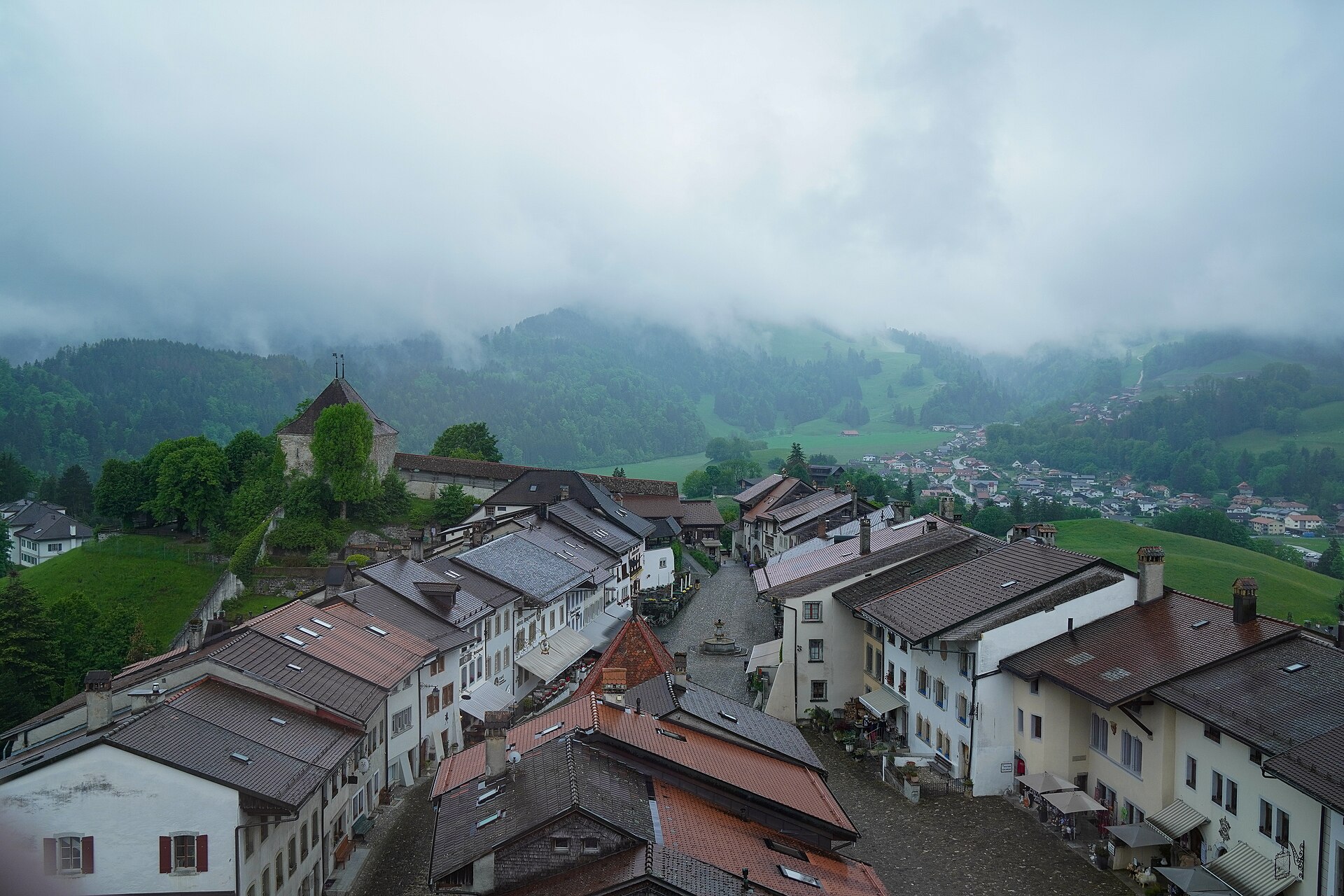
A medieval hill town, a cheese dairy and a chocolate factory, all on one gentle walk.
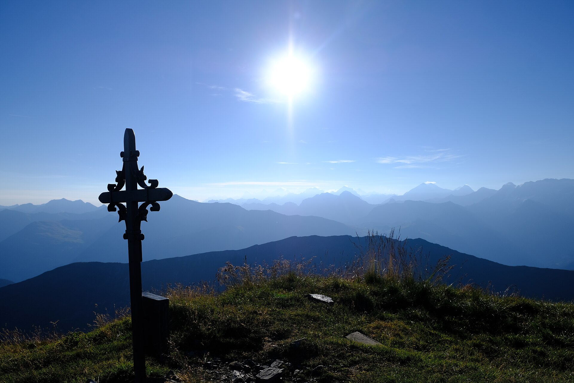
A delightful and relaxing valley and meadow walk exploring the luxurious alpine landscapes around Gstaad and Saanen in the Bernese Oberland. Starting from the world-famous chalet village of Gstaad, the trail meanders along rushing rivers, past historic 17th-century painted wooden farmhouses, and across sun-drenched pastoral meadows toward the historic village of Saanen, offering idyllic views of rolling green hills and jagged limestone peaks.
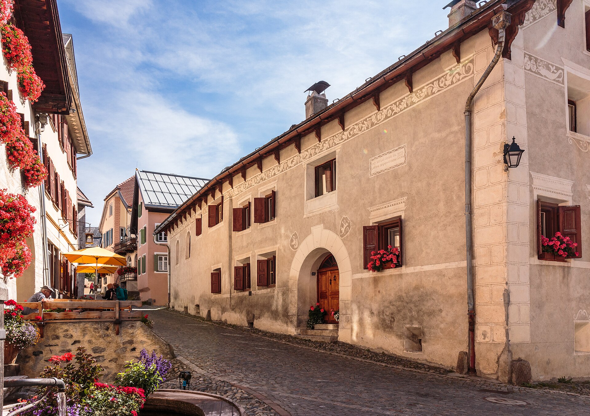
The painted village that inspired a famous children's book, and a trail through its meadows.
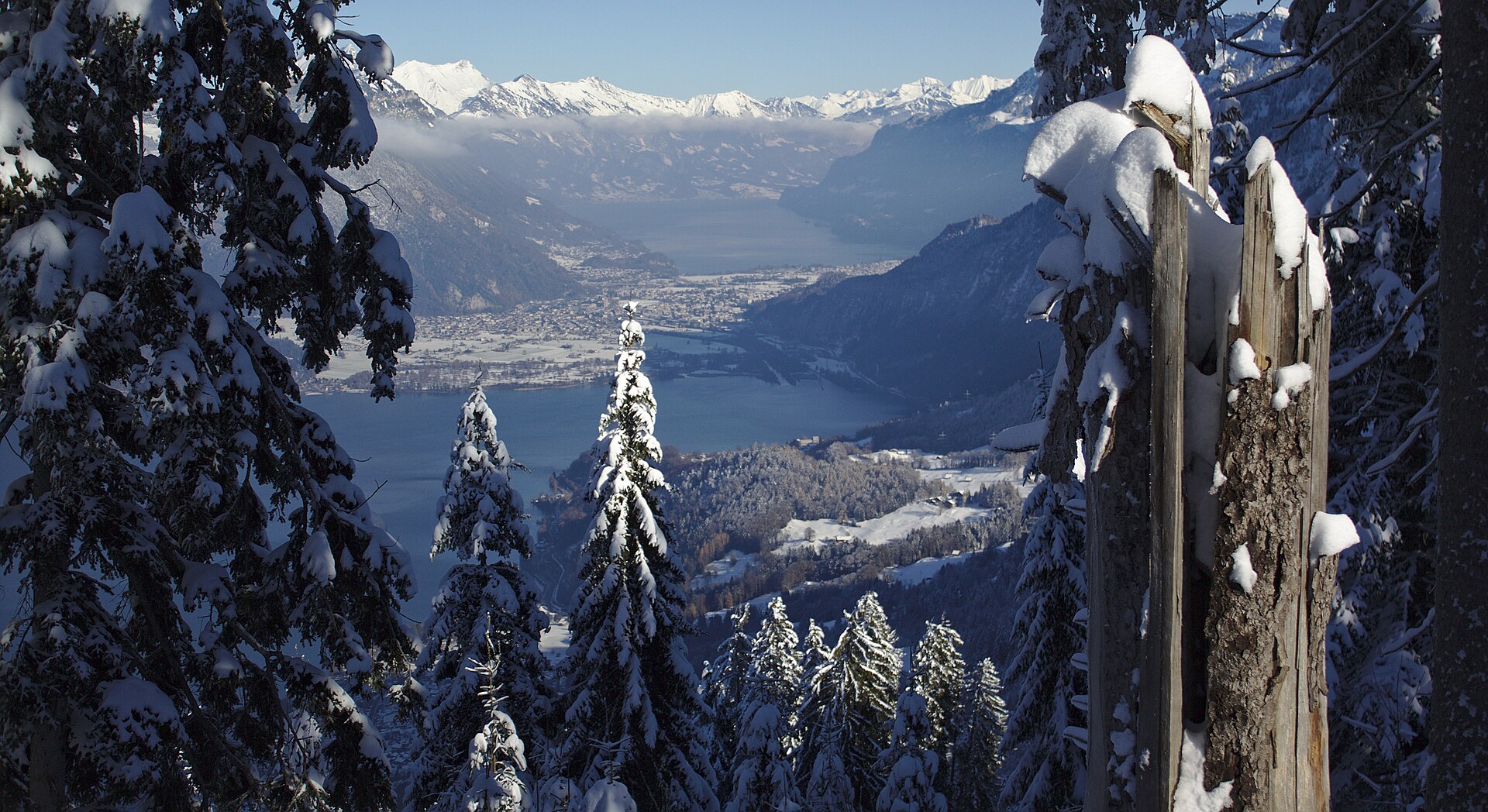
An easy north-shore stroll on Lake Thun between Gunten and Merligen, past beaches and harbours with the Niesen across the water.

The city's own hill, with the Alps on show and a funicular home.
A short riverside and forest walk from Brugg up to the 11th-century ancestral castle of the Habsburgs, with a climbable tower.
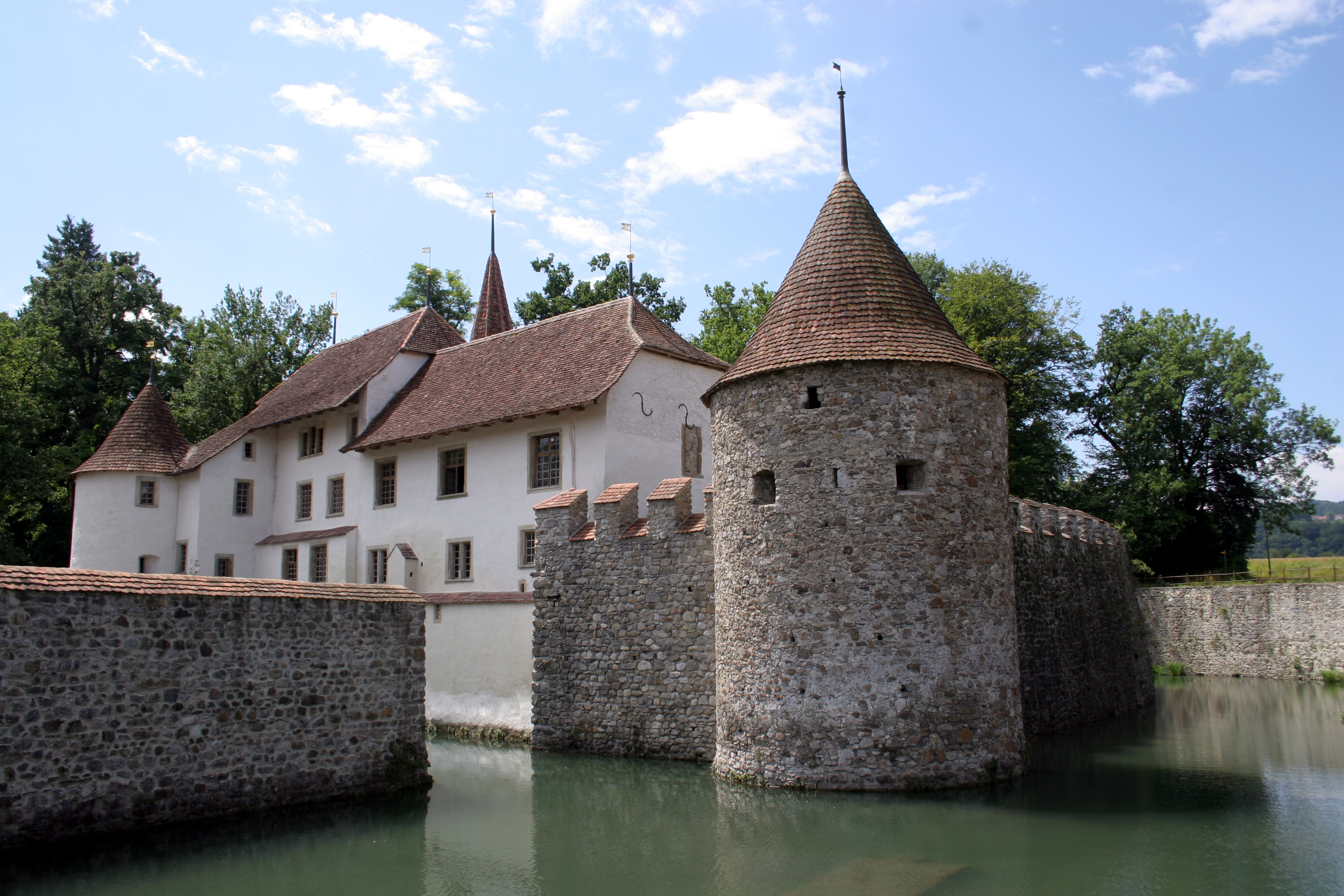
A moated castle on a river and a lake path with a view of the Alps on clear days.
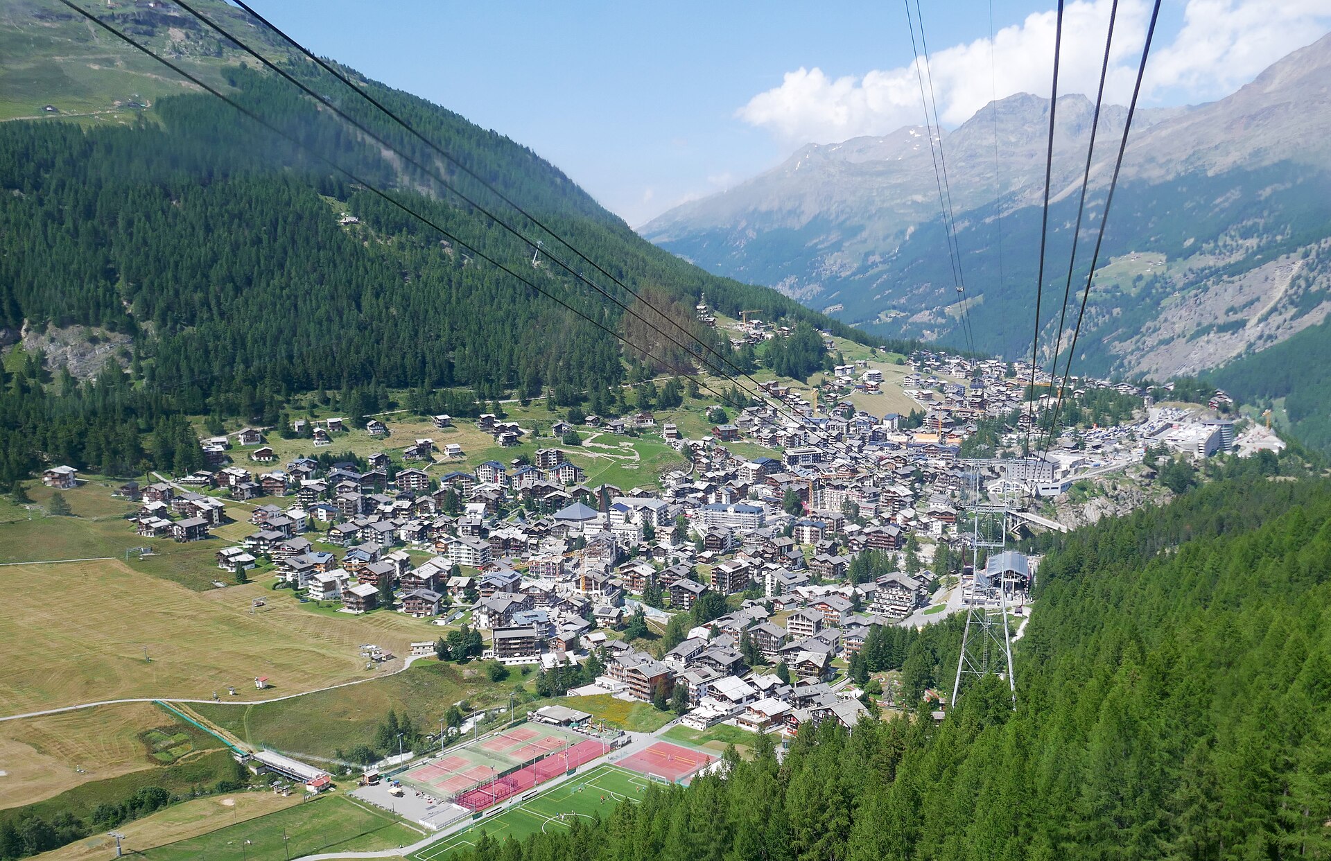
A ring of 4,000-metre peaks and a glacier, on a short gentle trail.
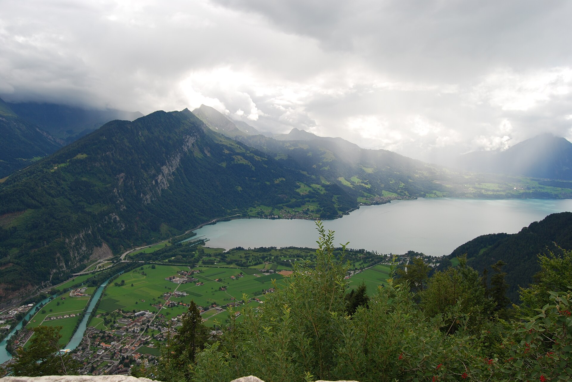
The viewpoint above Interlaken, between two lakes and below three famous peaks.
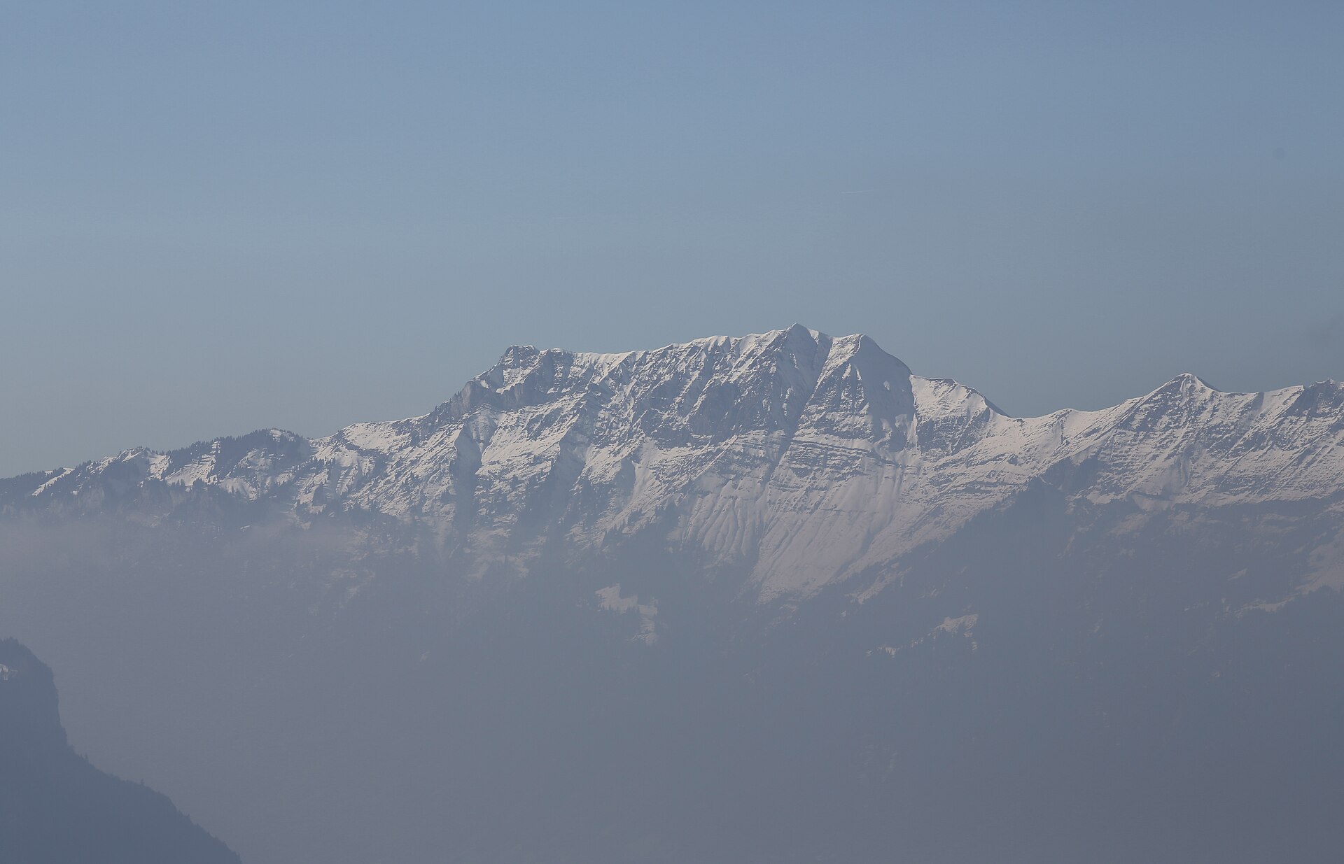
Widely acclaimed as one of the most spectacular, thrilling, and dramatic knife-edge ridge traverses in the entire European Alps. Starting from Harder Kulm above Interlaken, the trail climbs along the narrow, precipitous limestone spine of the Hardergrat ridge over Augstmatthorn, plunging steeply down on both sides with sheer drops toward the turquoise waters of Lake Brienz and the Emmental valleys.
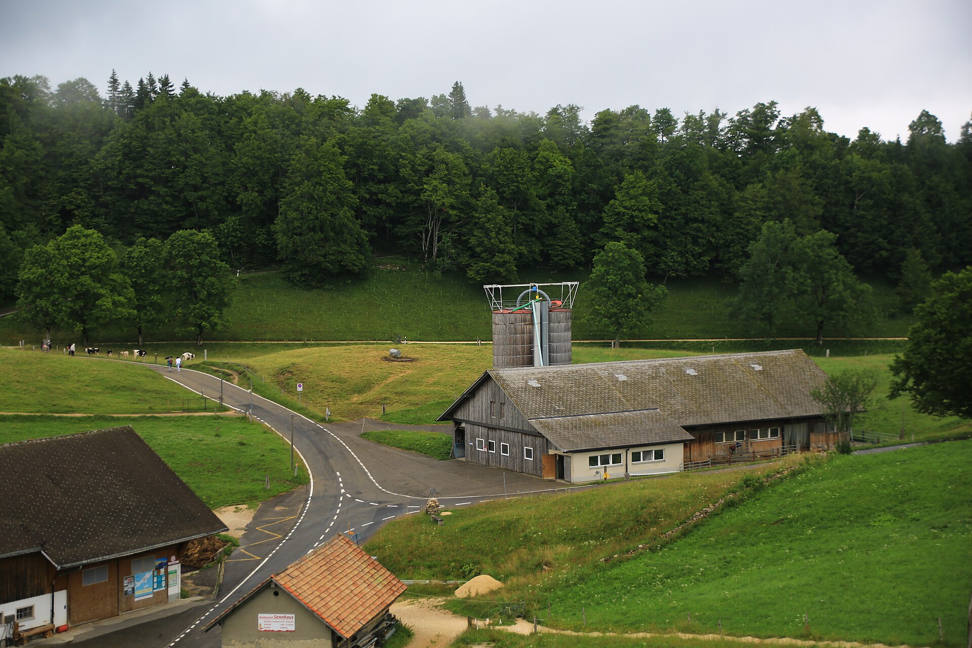
The highest point of the canton, reached along a Jura ridge above the fog.
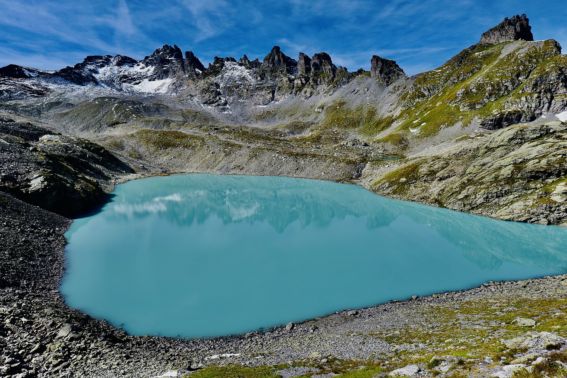
One of the most legendary and iconic high-alpine lake hikes in Switzerland. Located in the Heidiland region above Bad Ragaz, the Pizol 5-Lakes Hike leads past five stunning, distinct mountain tarns—Baschalvasee, Wildsee, Schottensee, Schwarzsee, and Wanggisee—each shimmering in unique shades of blue, green, and turquoise against the dramatic backdrop of the Pizol peak and the UNESCO Tectonic Arena Sardona.
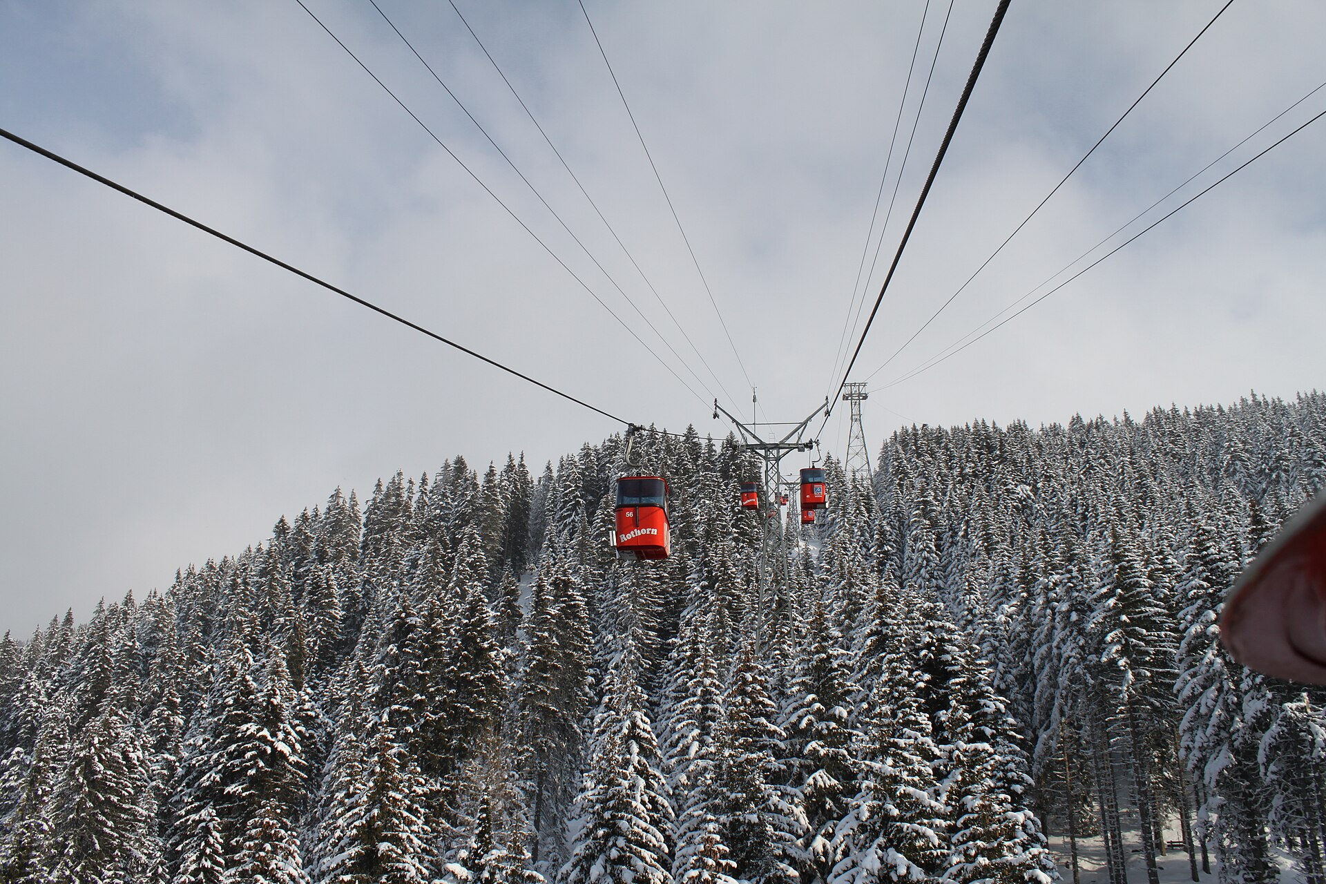
A flat, pushchair-friendly loop of the Heidsee on the Lenzerheide valley floor, with forest, picnic spots and summer swimming.
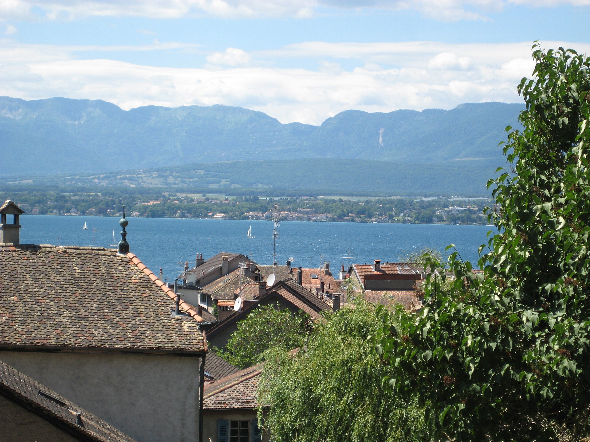
A medieval village on the French border, and a lake path through vineyards.
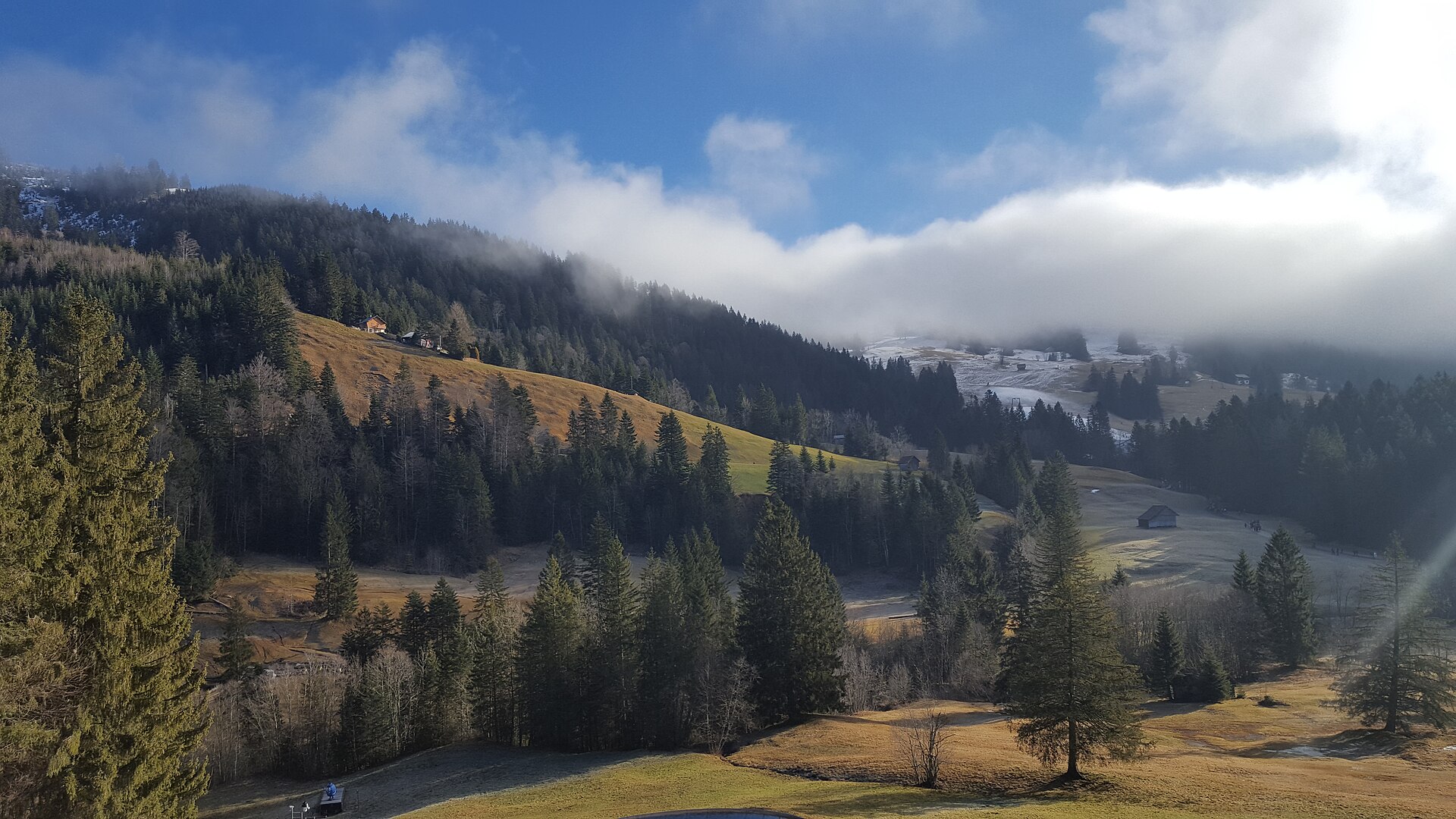
A hill with a view of the Mythen and the lakes of Central Switzerland.
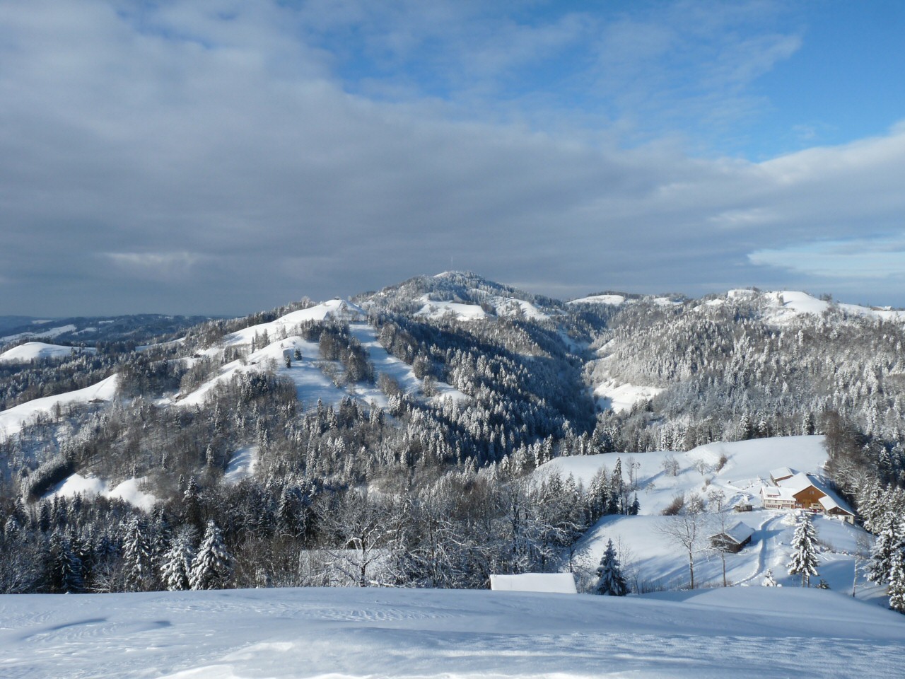
A wooded ridge in the Töss valley, with a summit tower and a view to the Alps.
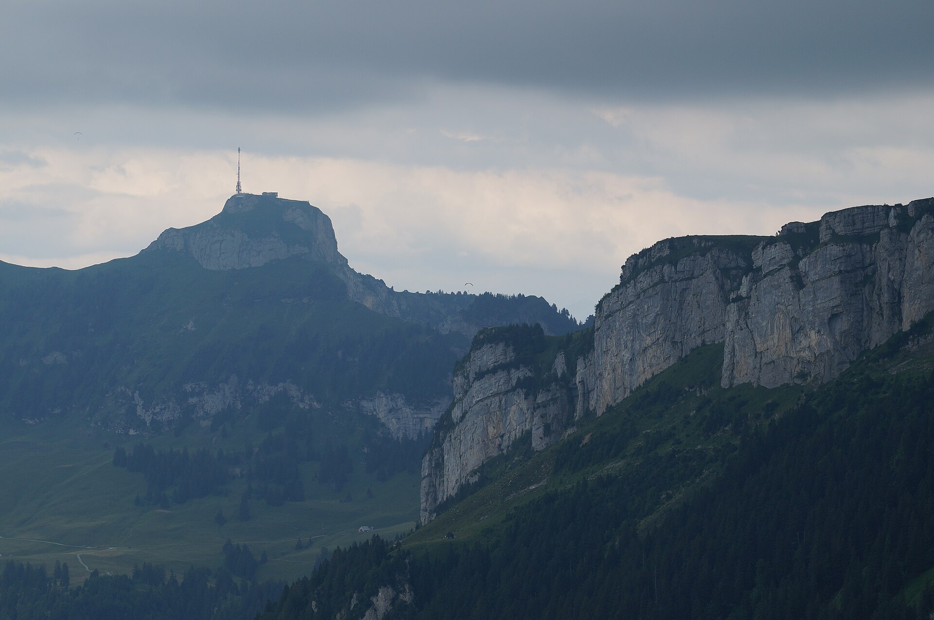
A breathtaking ridge-top hike exploring the eastern perimeter of the Alpstein massif in northeastern Switzerland. Starting from the summit of Hoher Kasten (1,795 m)—famous for its revolving mountaintop restaurant and 360-degree panorama encompassing six countries—the trail winds along engineered cliffside footpaths through geological wonderland rock formations and alpine meadows down toward Saxer Lücke and Staubern.
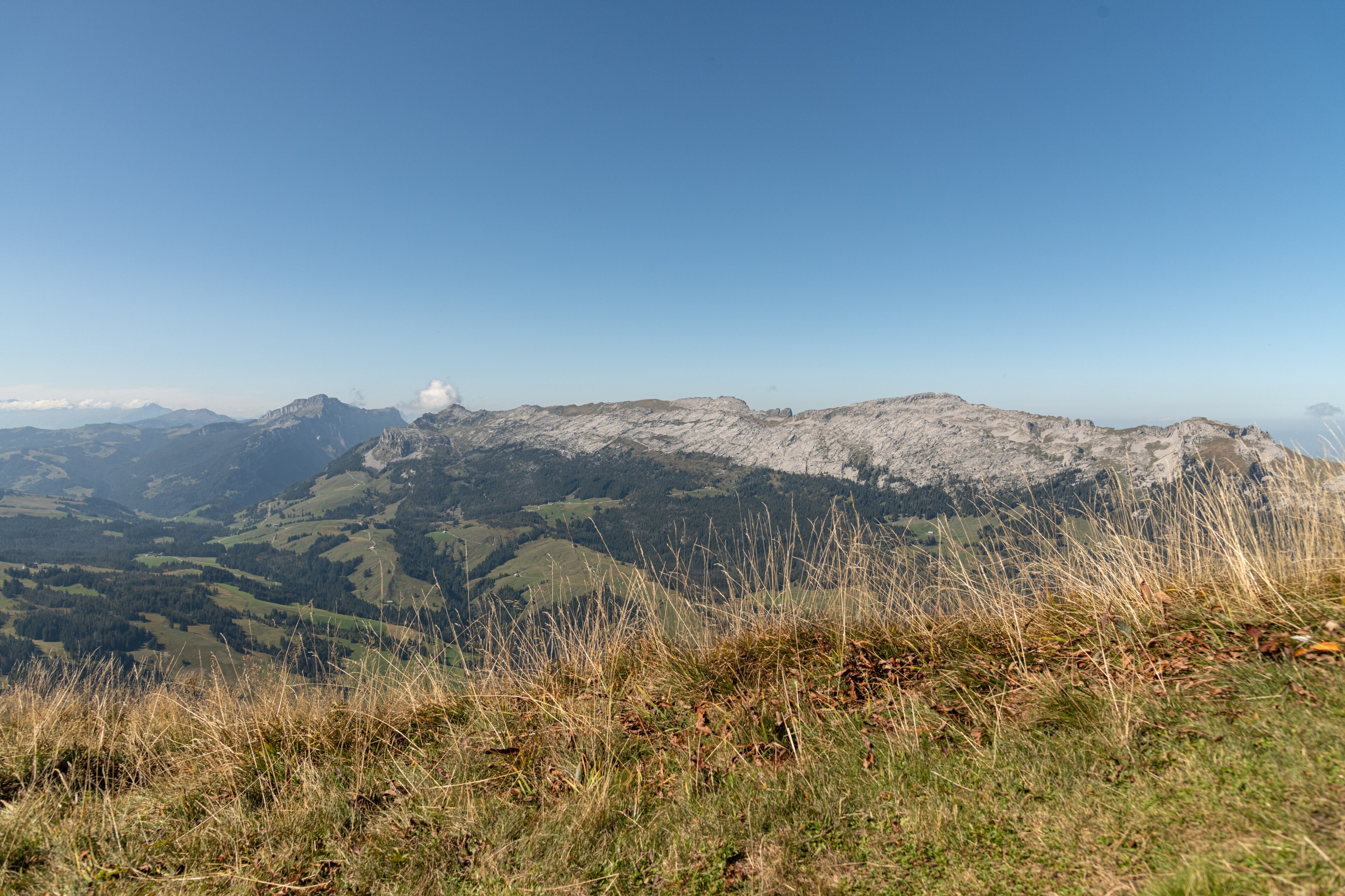
A long limestone ridge between the Emmental and the Justistal, with karst and ibex.
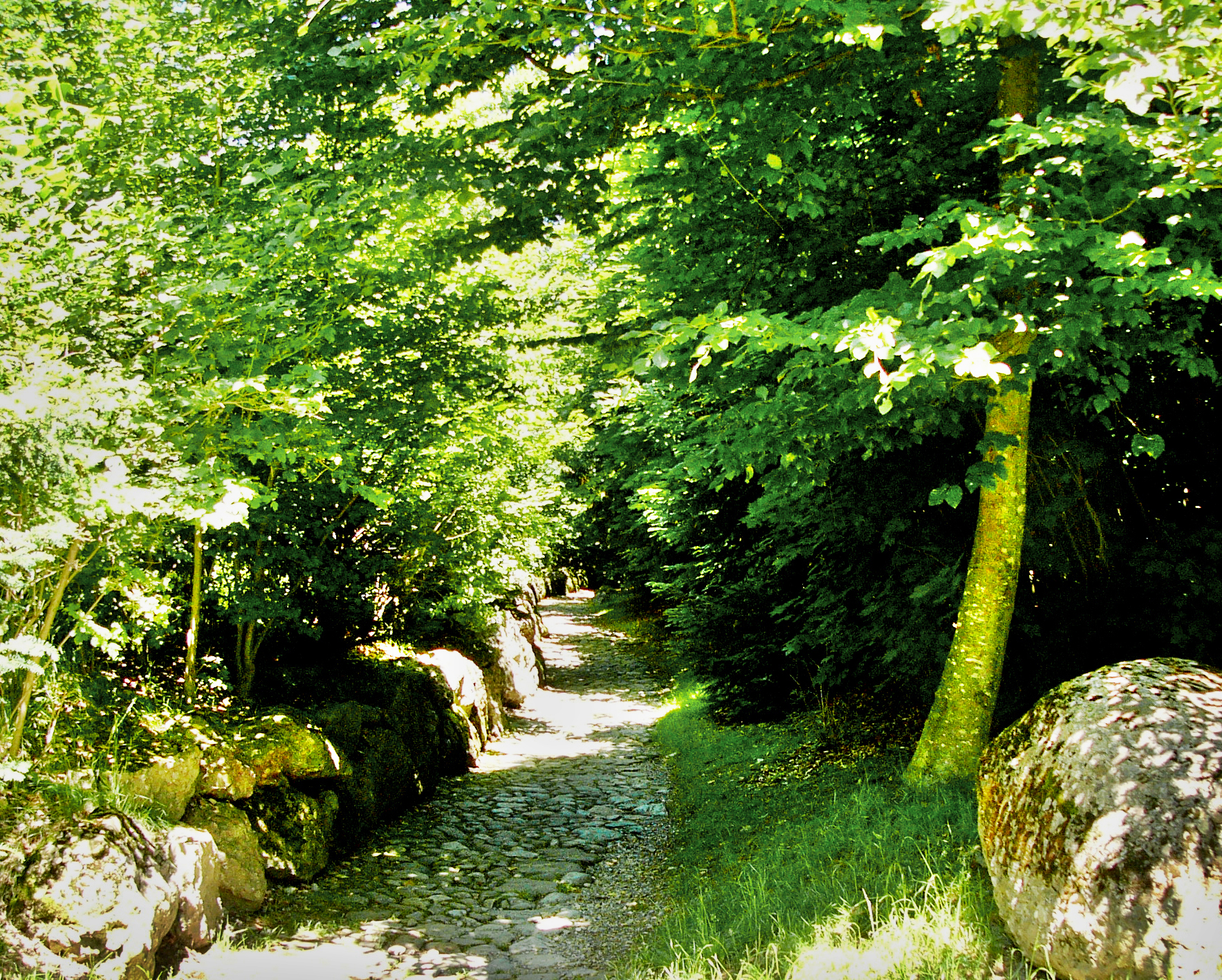
The sunken lane where William Tell is said to have ambushed the bailiff Gessler.
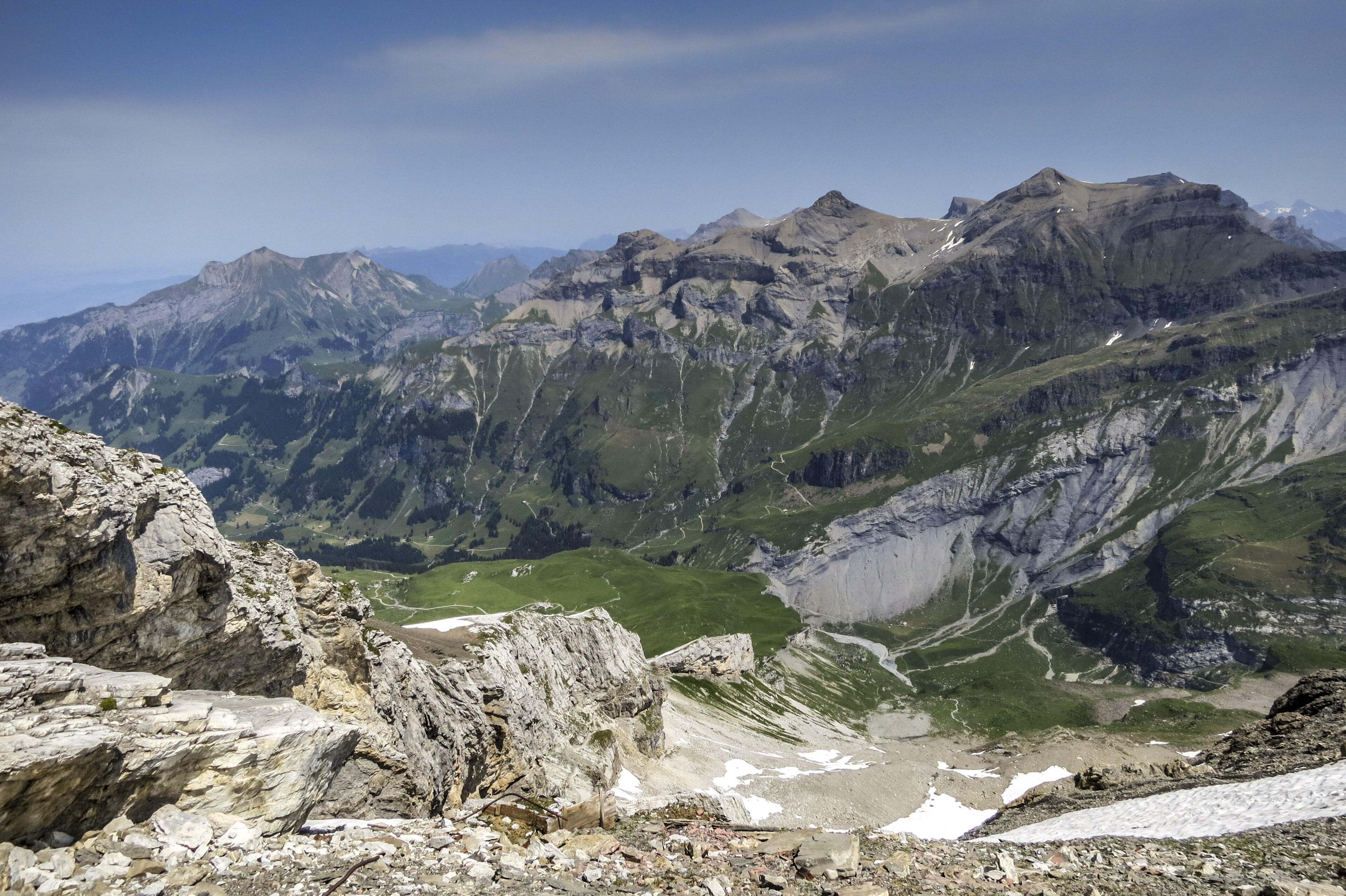
One of the most dramatic and legendary high-alpine pass crossings in the Swiss Alps. Linking Kandersteg (via Oeschinensee) with the Kiental valley across the formidable Hohtürli Pass (2,778 m), the trail winds directly beneath the hanging glaciers and sheer ice cliffs of the Blüemlisalp massif, passing the renowned Blüemlisalp Hut (SAC) before descending toward the dazzling turquoise waters of Lake Oeschinen.
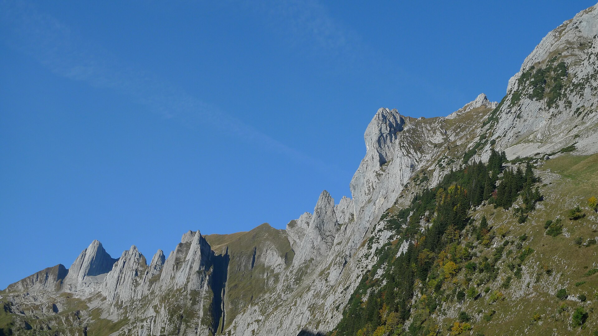
A magnificent and rewarding high-alpine ridge hike leading to the summit of Hundstein (2,157 m), one of the prominent limestone peaks in the Alpstein massif. Starting from Meglisalp or Brülisau, the trail winds through rugged karst rock formations, steep alpine pastures, and exposed limestone ridges, culminating in a breathtaking summit viewpoint overlooking the Säntis massif, Lake Constance, and the rolling hills of Appenzellerland.
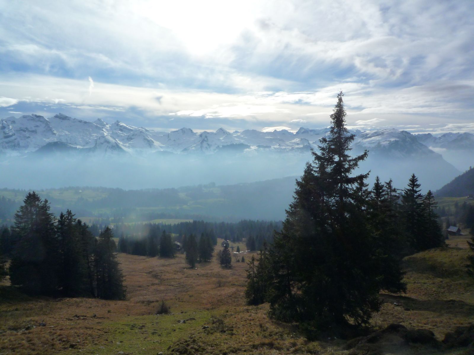
A ridge above the Muotathal with a view of Lake Zurich and the Mythen.
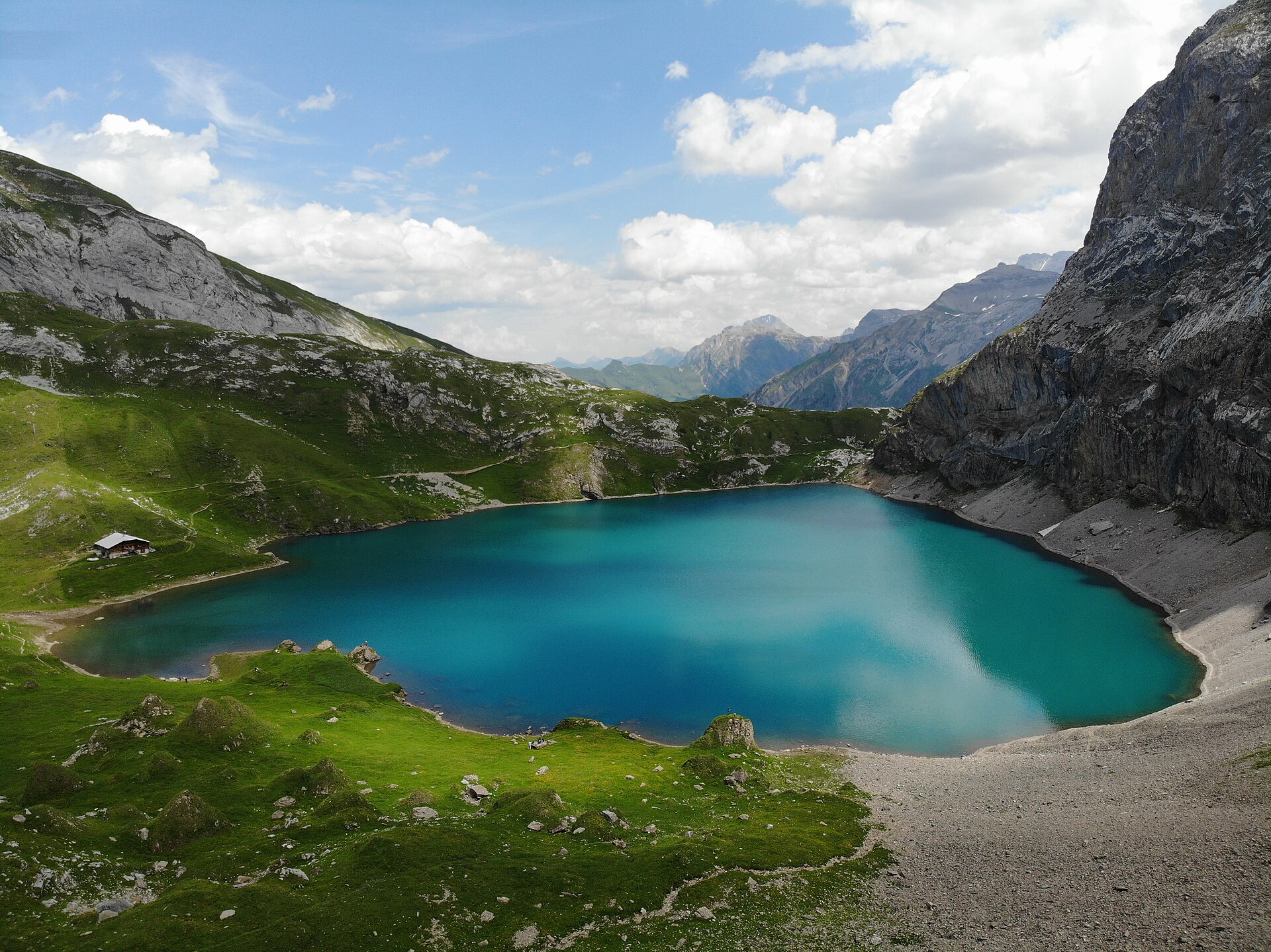
A river, a waterfall and a lake at 2,000 metres in a quiet valley.
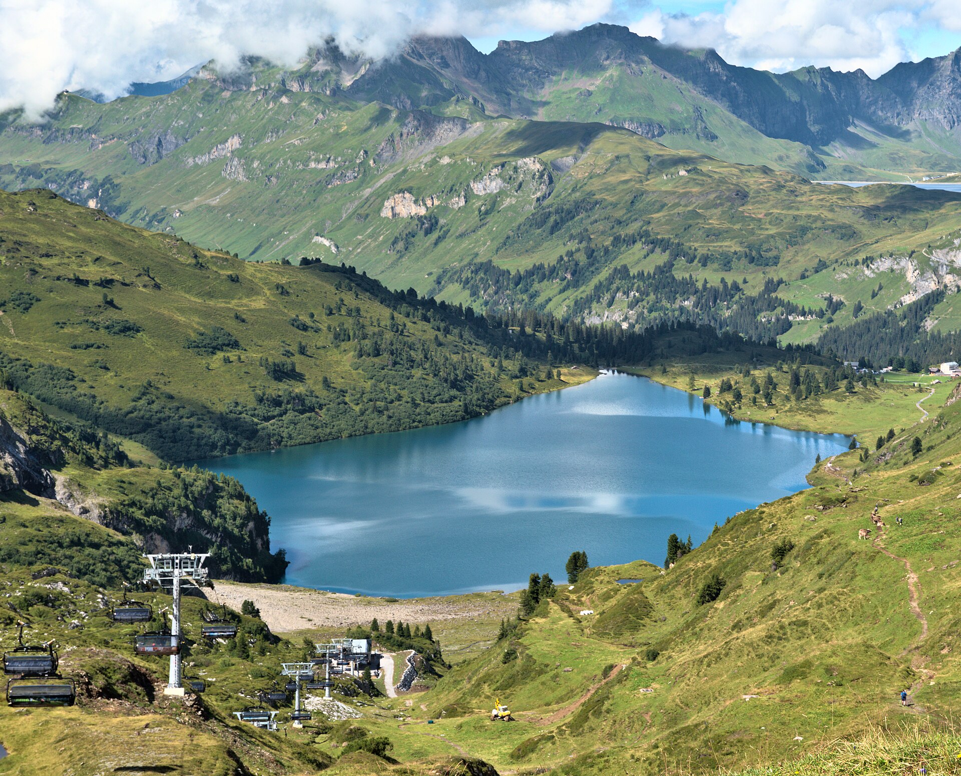
A pass walk from Engelberg to a lake on the Bernese side, with a historic hotel at the end.
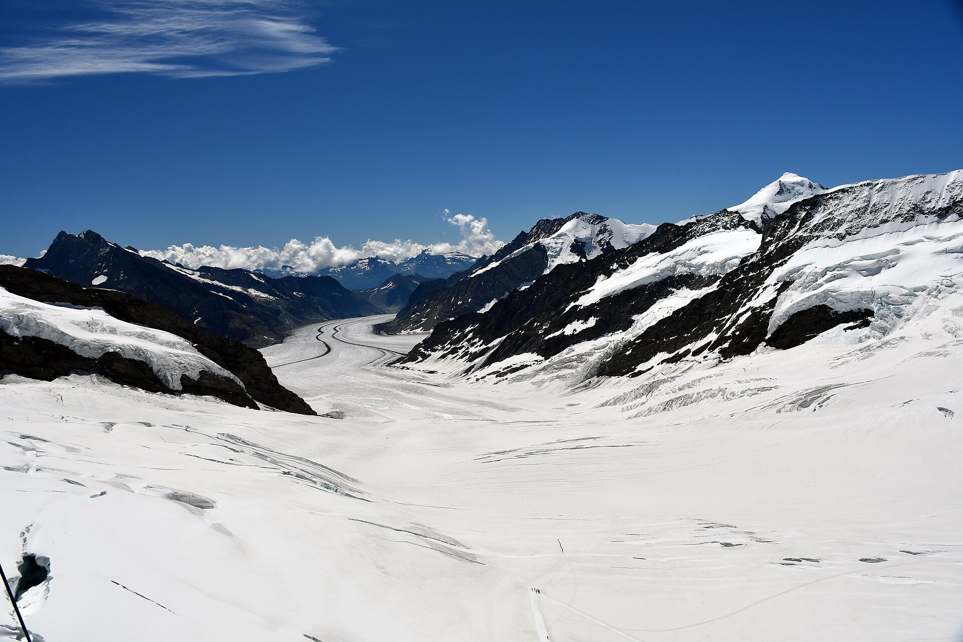
A bucket-list high-alpine experience on the "Top of Europe." Starting from Jungfraujoch railway station at an astonishing 3,454 meters—the highest railway station in Europe—the route leads from the Sphinx Observatory indoor complex across a groomed, safe snow trail on the vast Aletsch Glacier plateau directly toward the welcoming refuge of the Mönchsjochhütte.
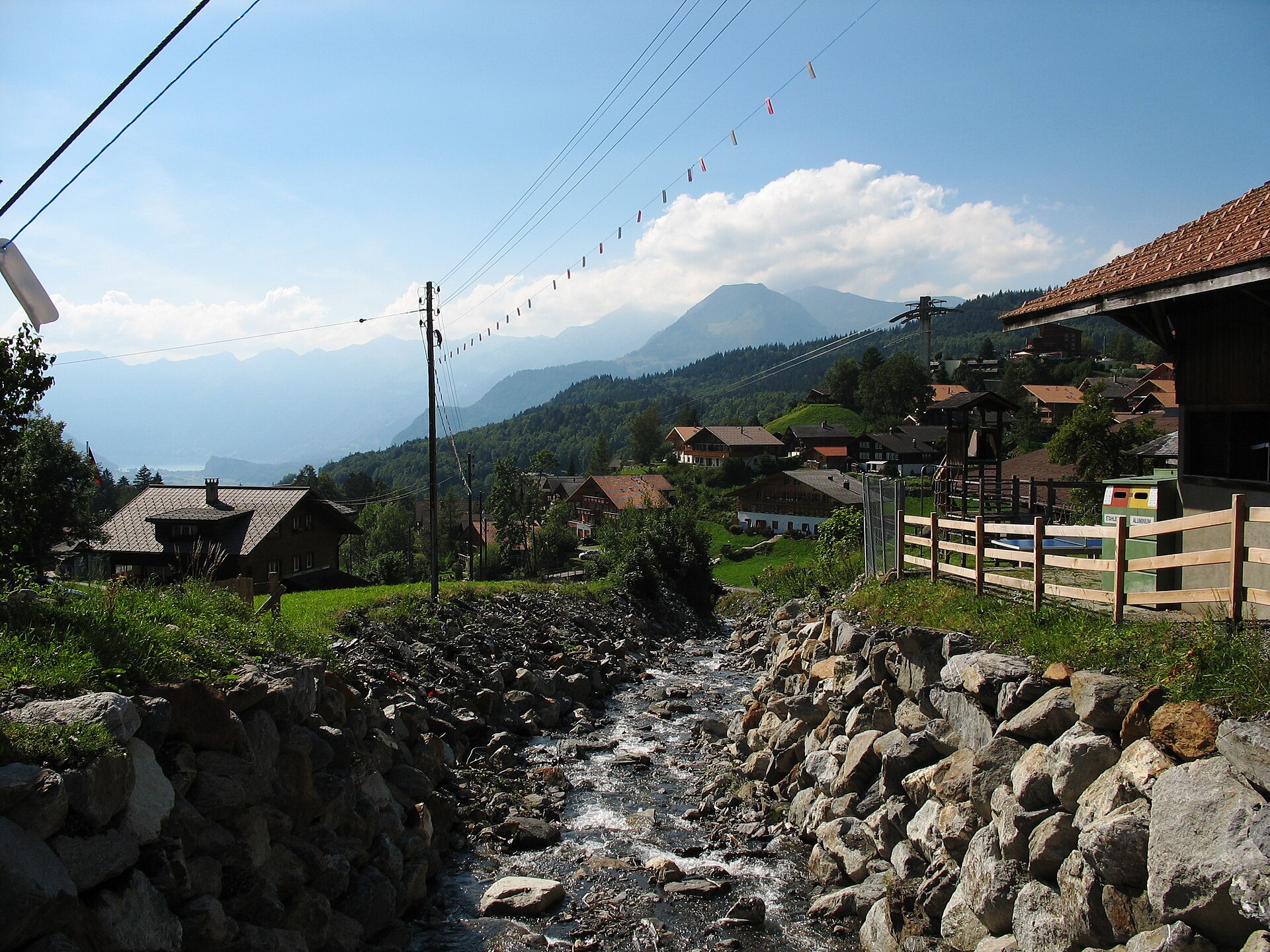
A gentle balcony walk on the Hasliberg terrace above Meiringen, facing the Wetterhorn and Wellhorn across the Haslital.
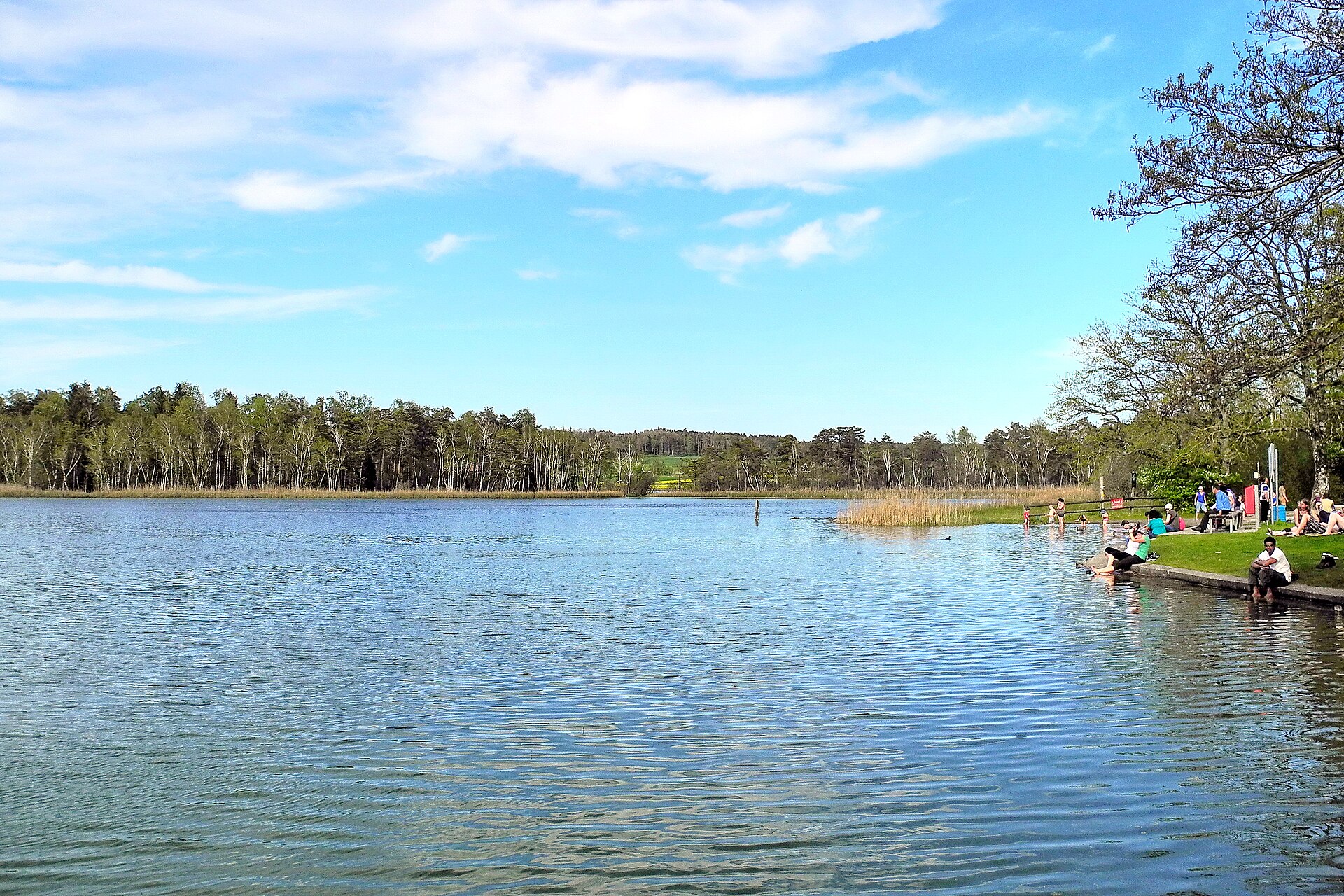
Two small lakes, reeds and forest at the edge of Zurich, with a swimming spot in summer.
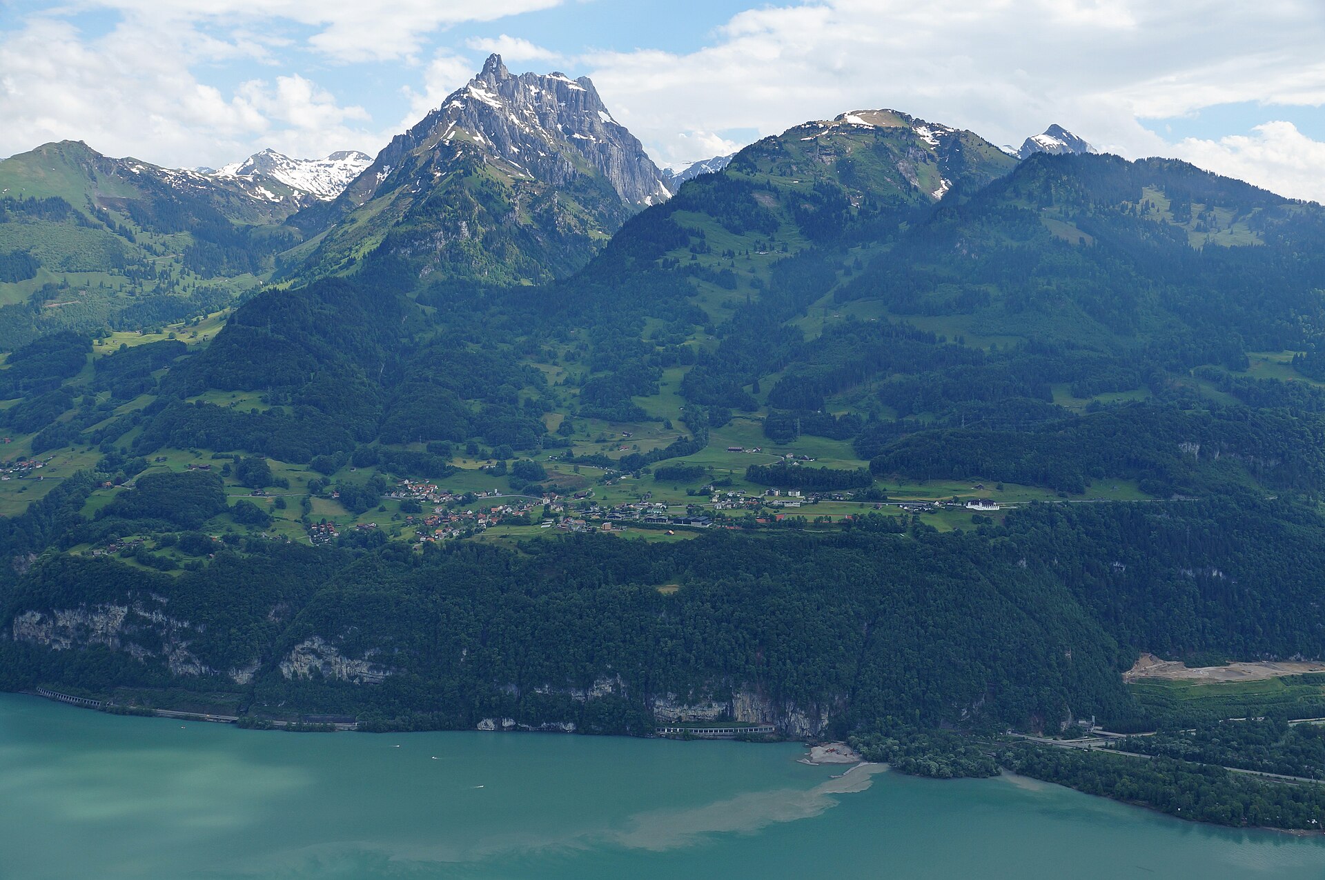
A terrace walk above the Walensee, with the Churfirsten wall across the water.
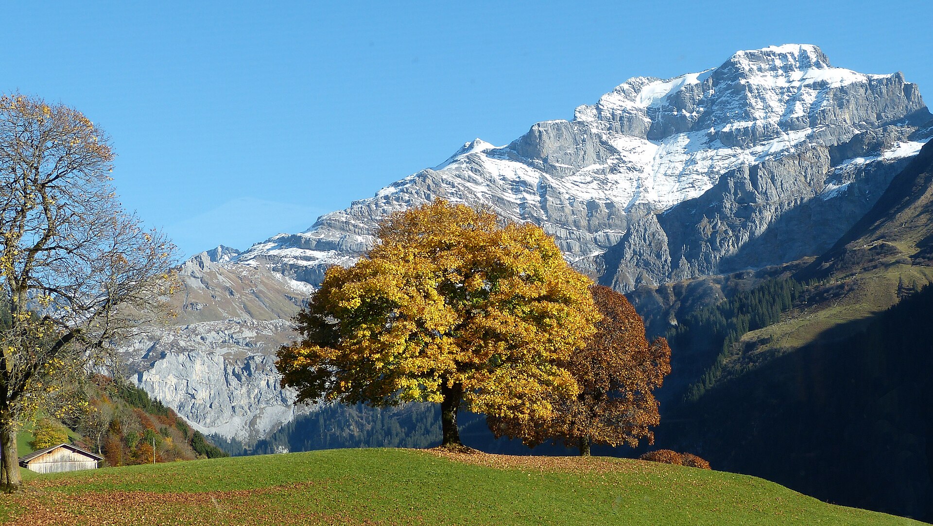
A legendary high-alpine pass and valley hike exploring the historic Klausen Pass (1,948 m) connecting Canton Uri with Canton Schwyz. The trail meanders past roaring glacial streams, thunderous waterfalls (including the magnificent Fätschbach falls), historic stone mule-track bridges, and expansive pastoral alpine high plateaus grazed by Swiss cattle.
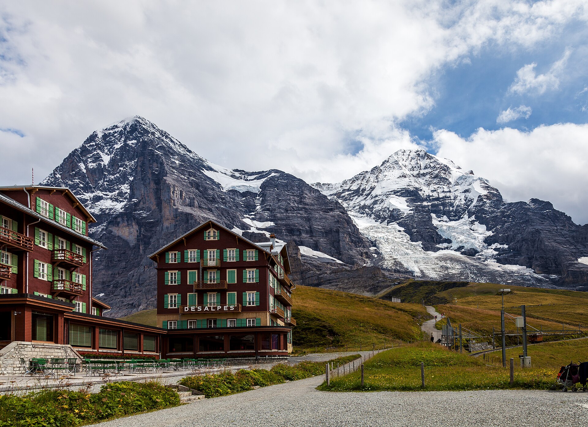
A long downhill with the Jungfrau in front of you and the Lauberhorn ski slope under your feet.
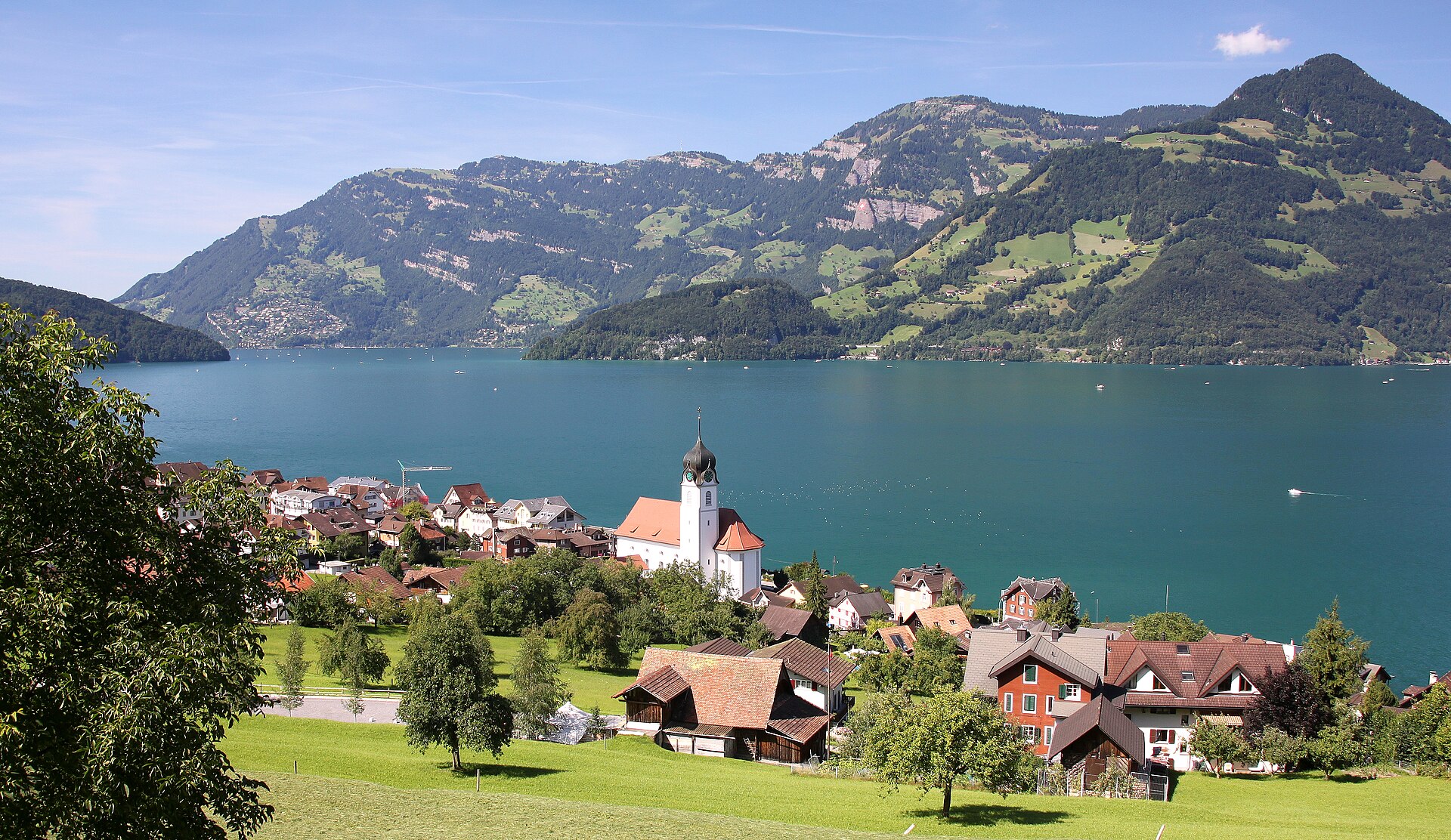
A cable car above the lake and a ridge with views over Lake Lucerne and the Rigi.
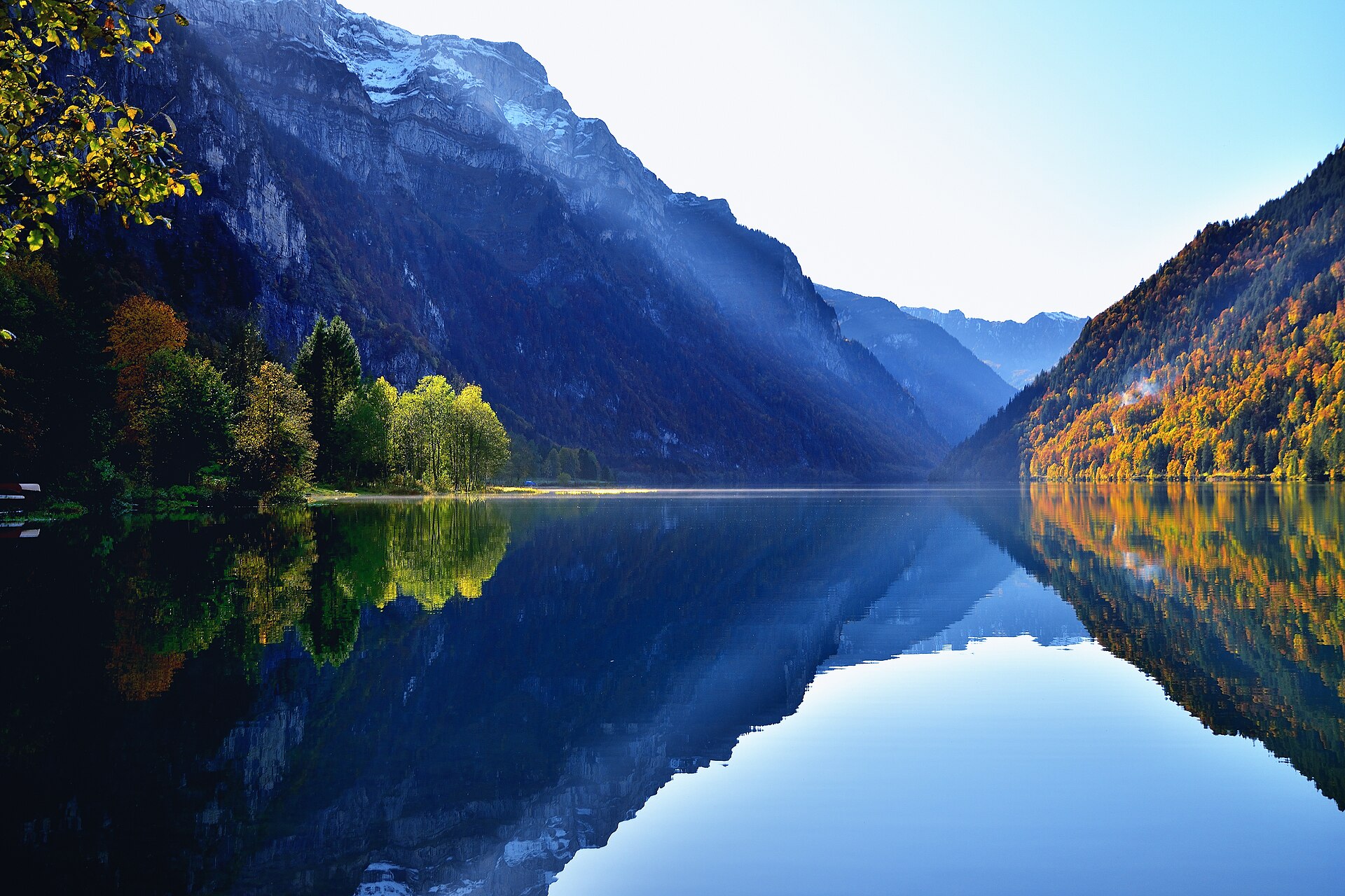
A big mountain lake with the Glärnisch massif rising straight above.
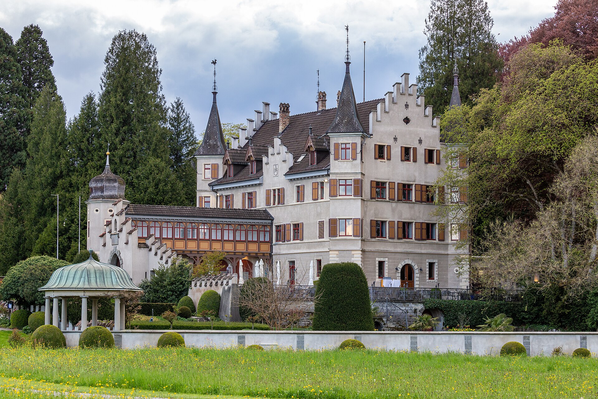
A lakeshore path to a castle where the reformer Jan Hus was held in 1415.
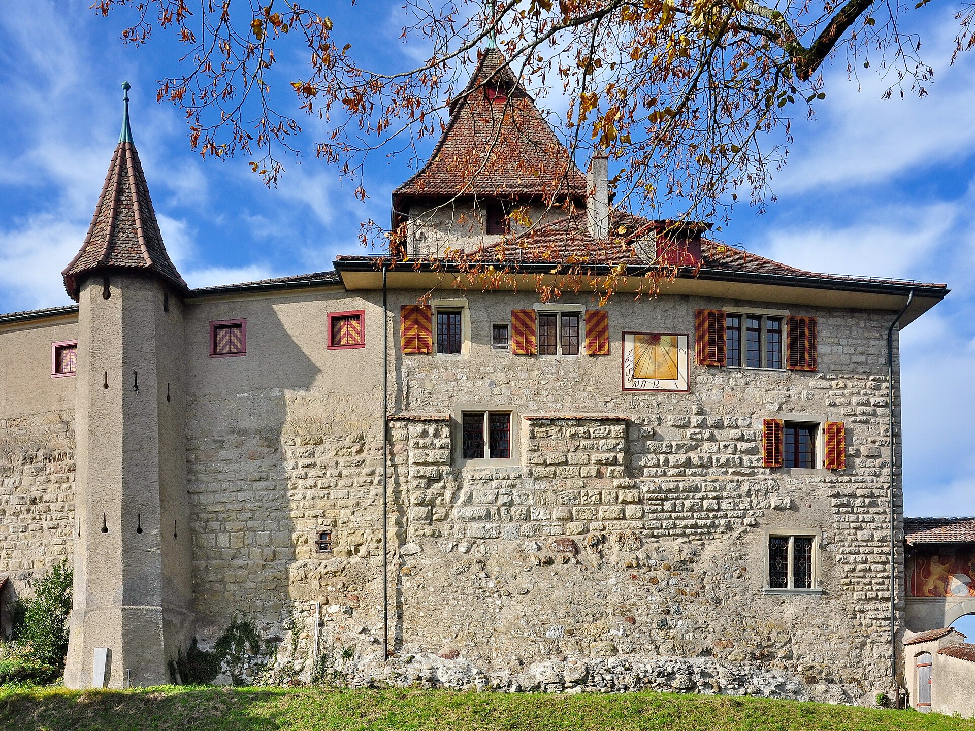
A medieval castle on a hill in the Töss valley, reached through meadows and forest.
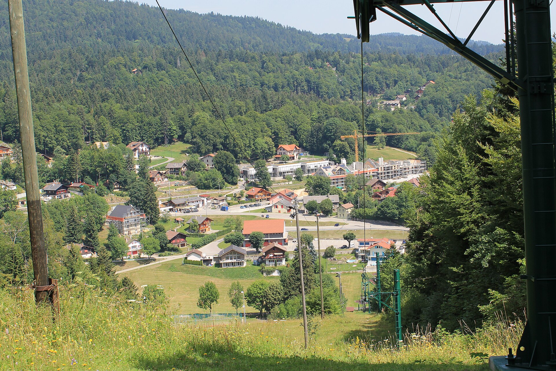
A long but gentle climb to the Vaud Jura's best-known summit, with Lake Geneva, the city and the Mont Blanc range laid out below.
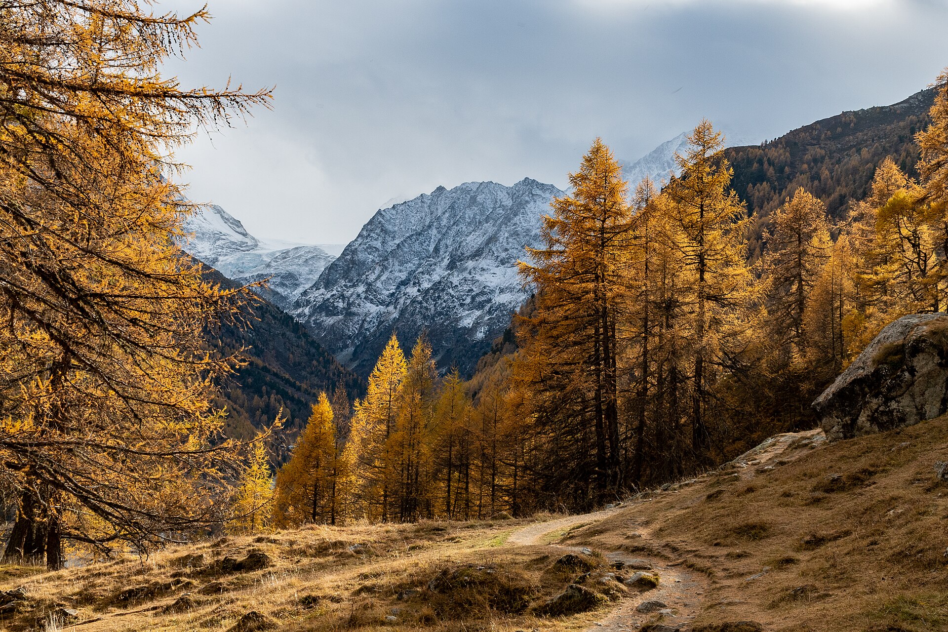
A short forest climb to a deep-turquoise tarn in the Val d'Hérens, framed by larches and the jagged Dents de Veisivi.
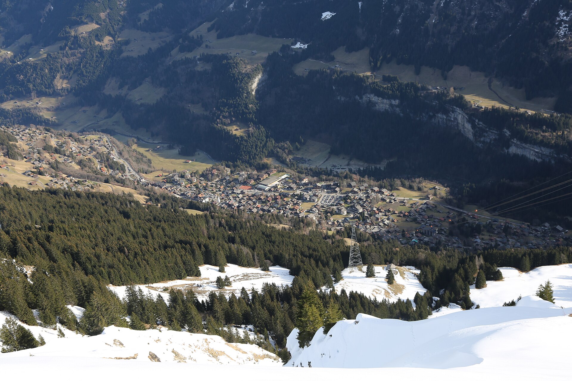
A quiet lake under the Dents du Midi, reached from a Valais ski village.
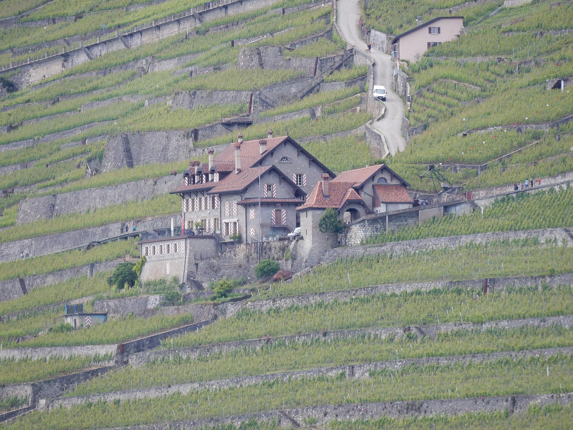
A small lake above Lavaux, with a quiet loop and a view of the Alps.
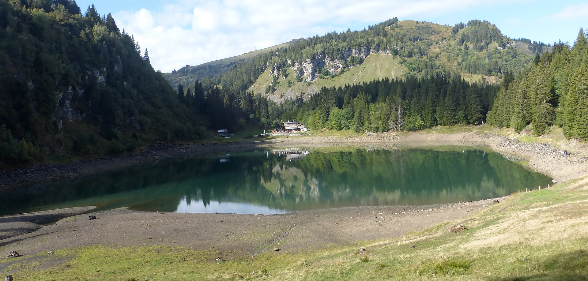
A gentle 6 km lake loop in the pastures above Villars, reached by rack railway, with a view of the Mont Blanc range.
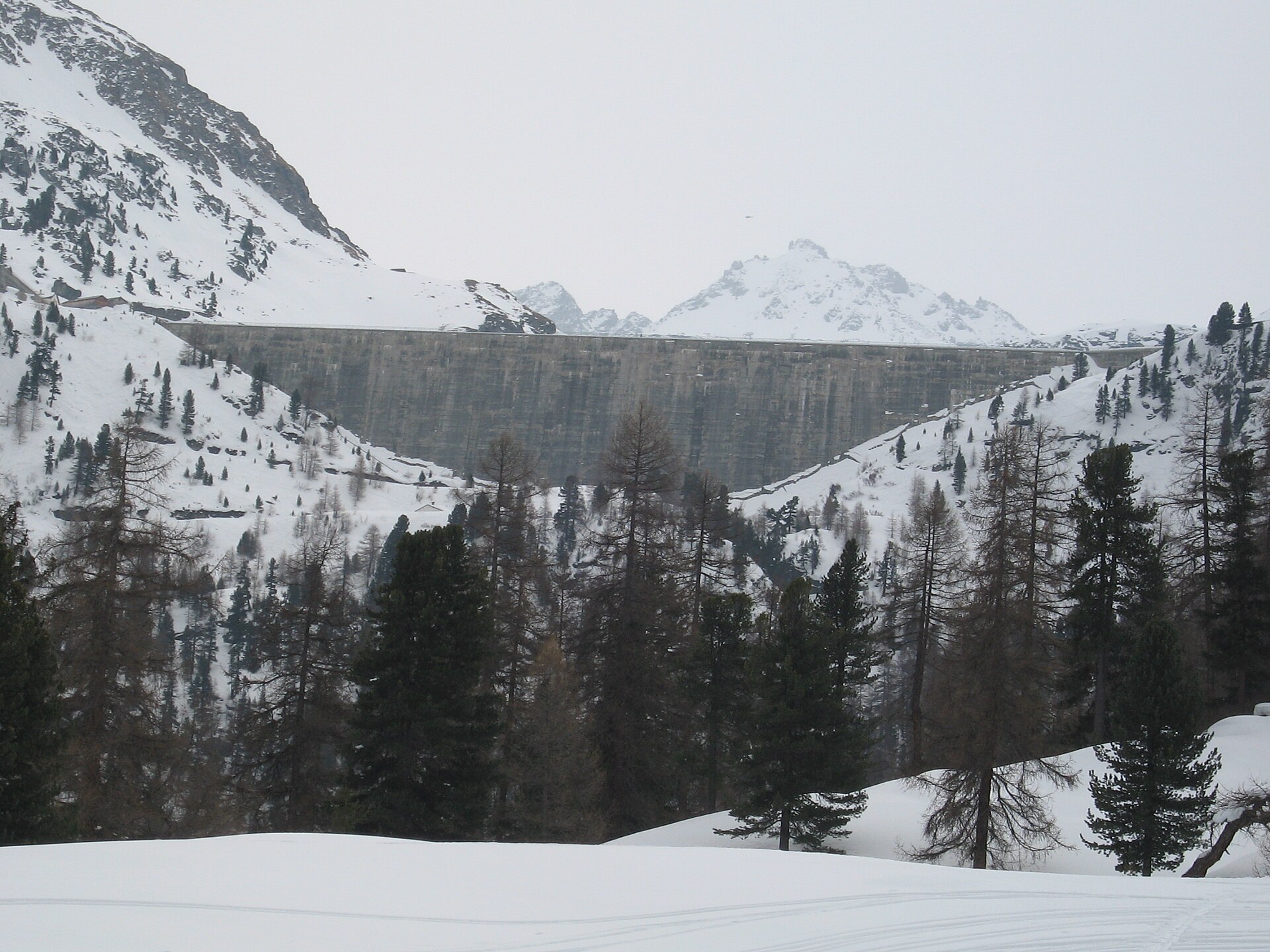
A turquoise reservoir with a gentle path, high above the Rhône valley.
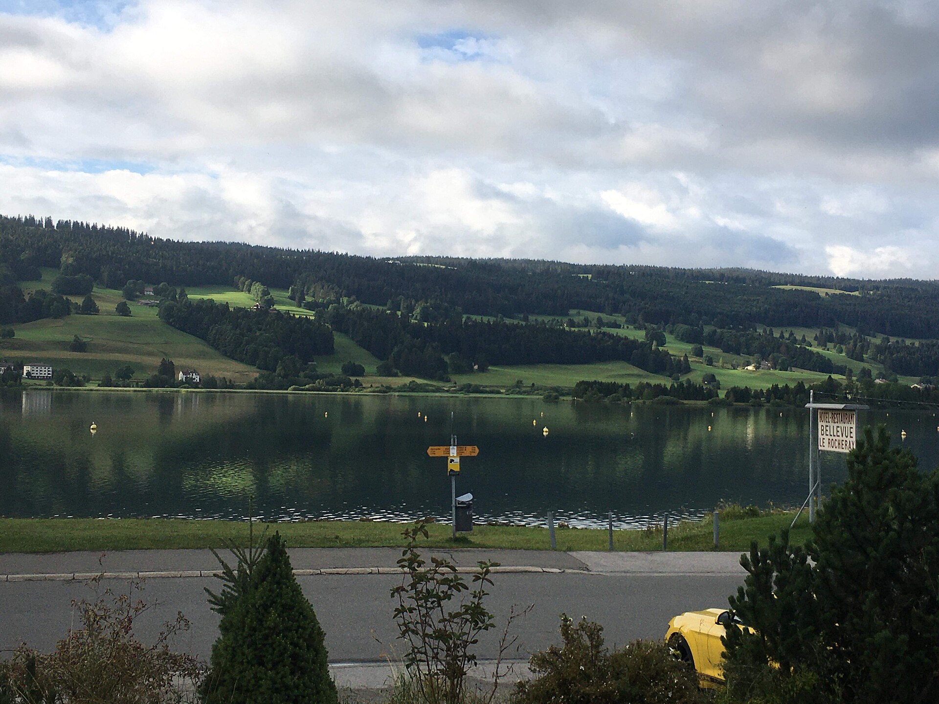
A frozen-in-winter lake, forest paths and the home of fine watchmaking.
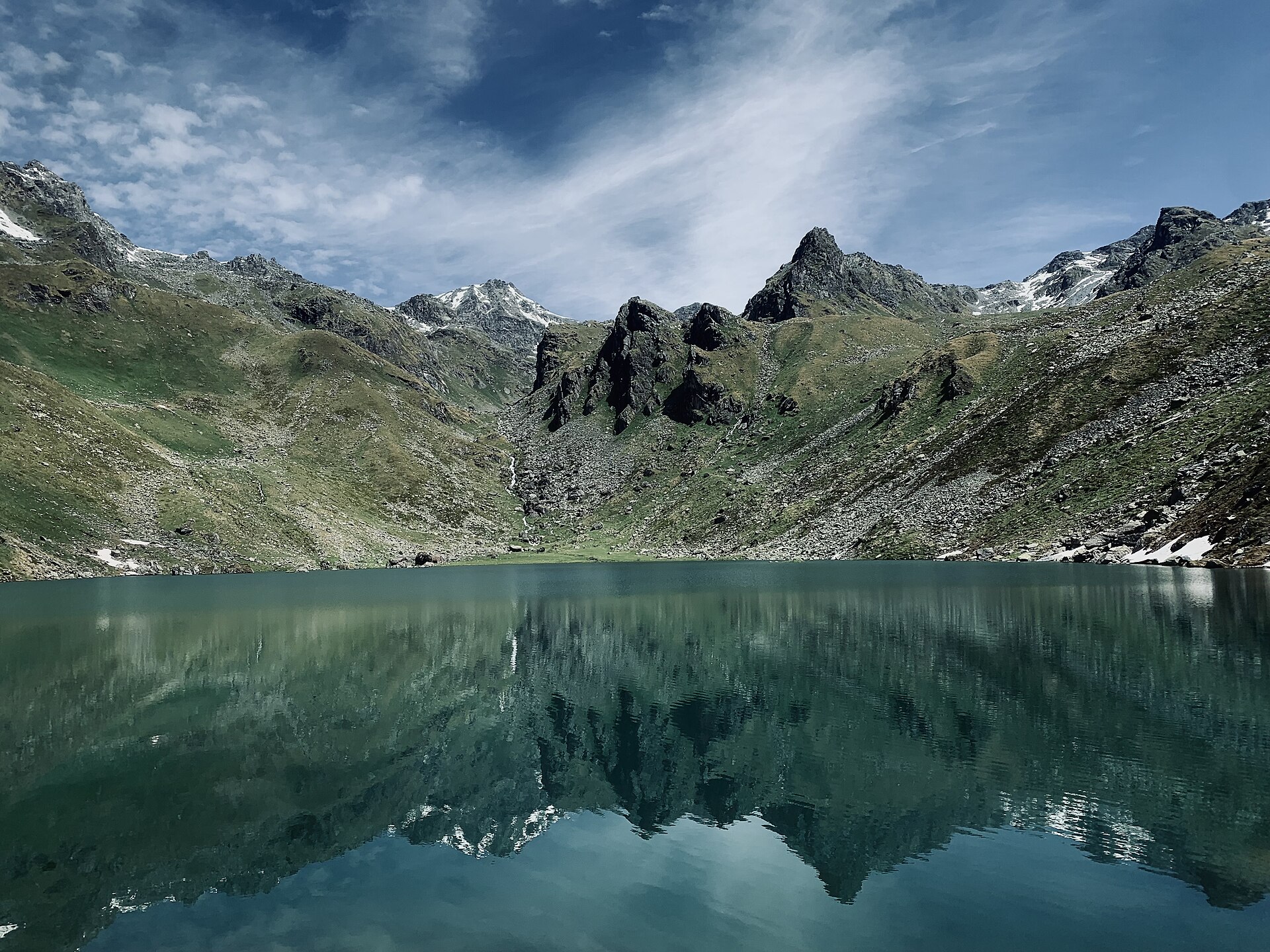
A steady full-day climb above the Val de Bagnes to a clear lake at 2,200 m and a hut facing the Grand Combin massif.
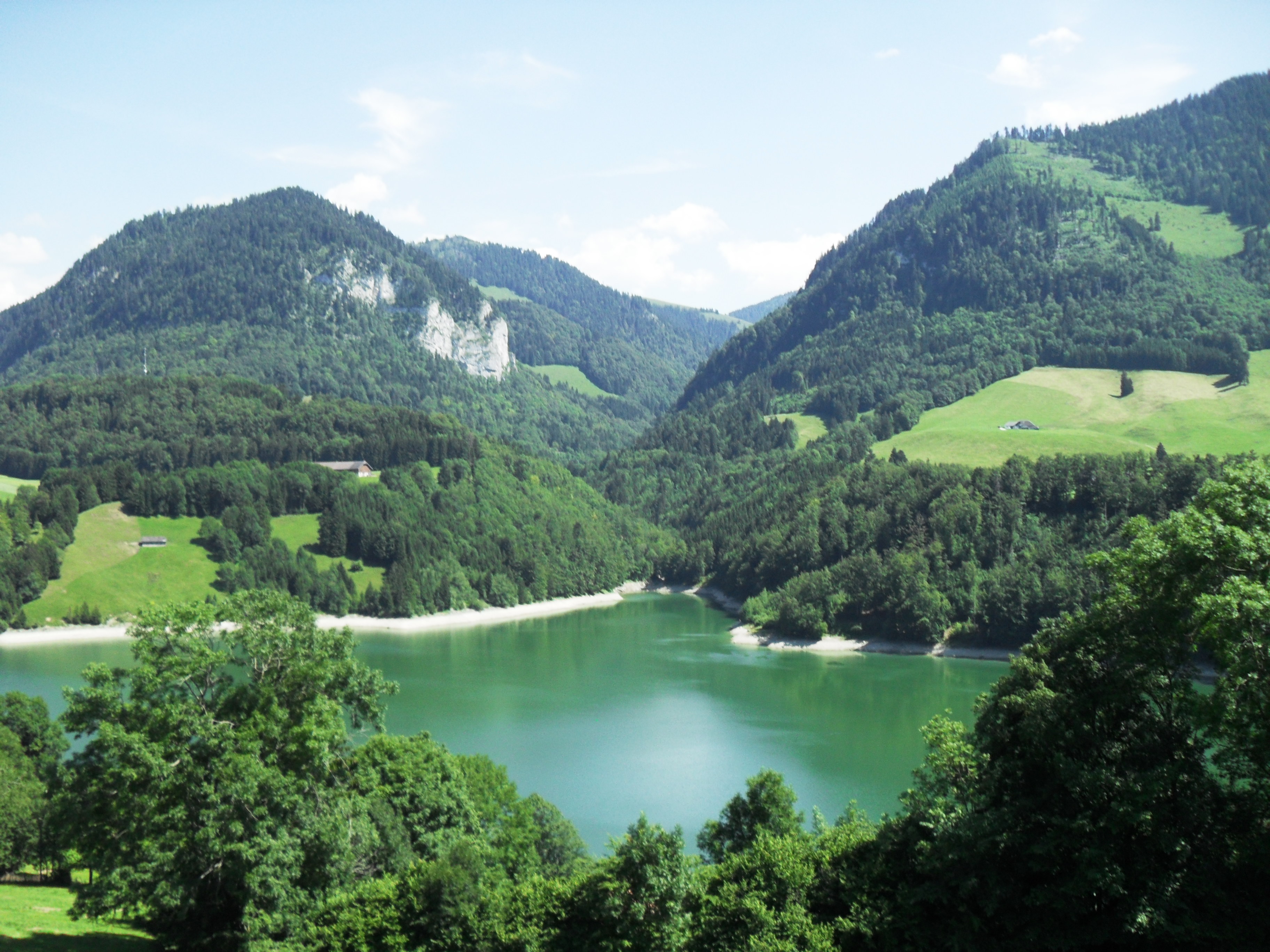
A reservoir in a wooded gorge, a short drive from Gruyères.
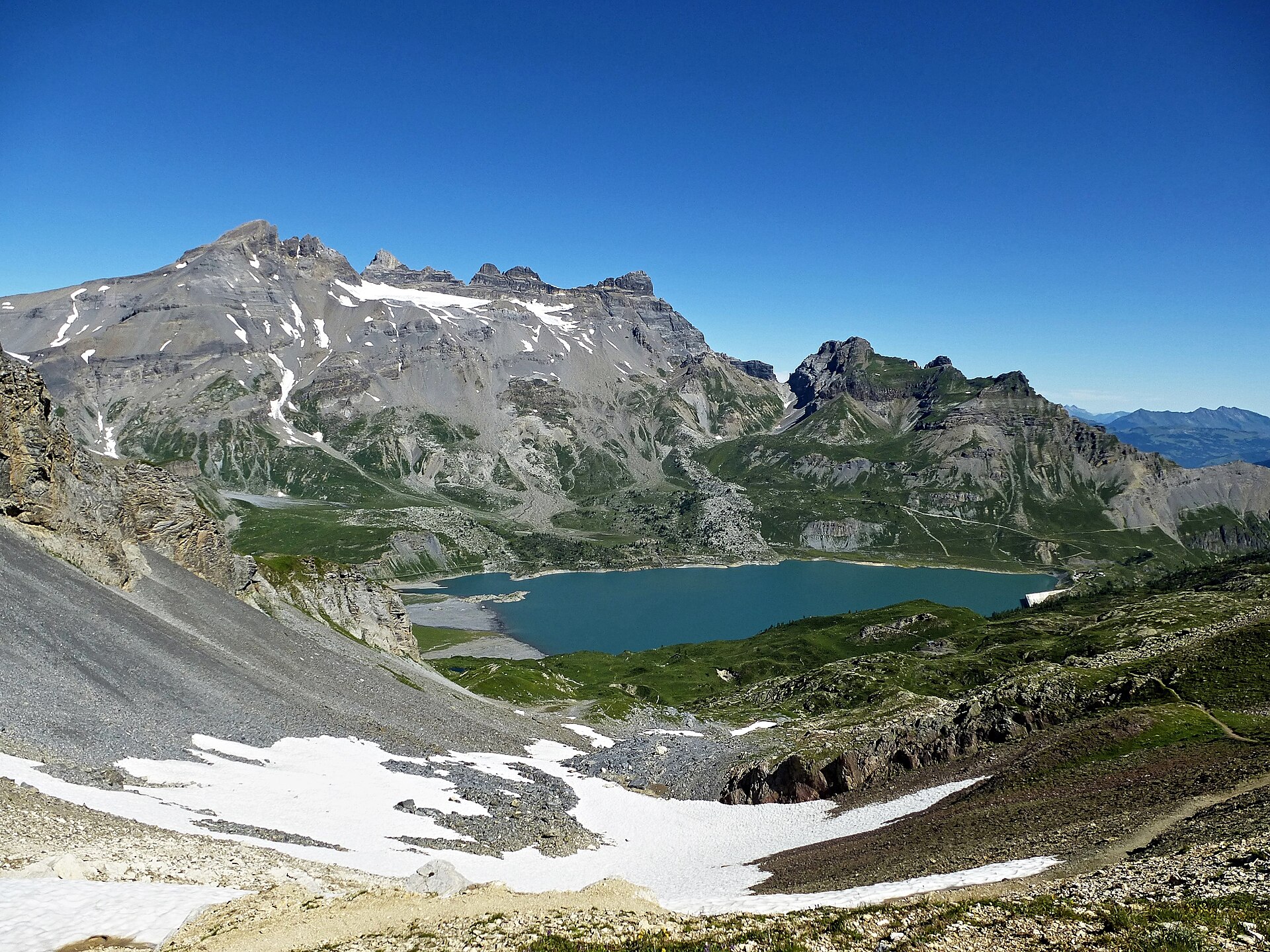
A quiet dam lake set in a rock bowl beneath the seven jagged peaks of the Dents du Midi, reached via the Van d'en Haut cable car.
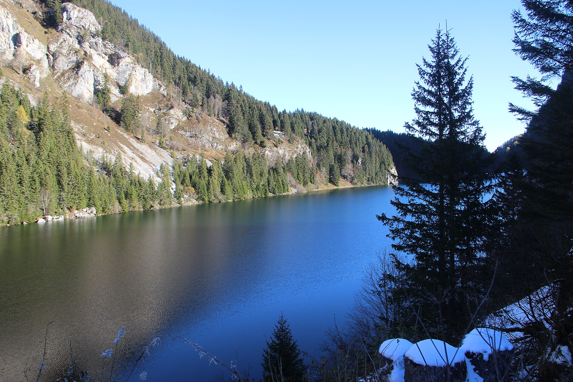
A quiet mountain lake above the Rhône plain, with a view of Lake Geneva.
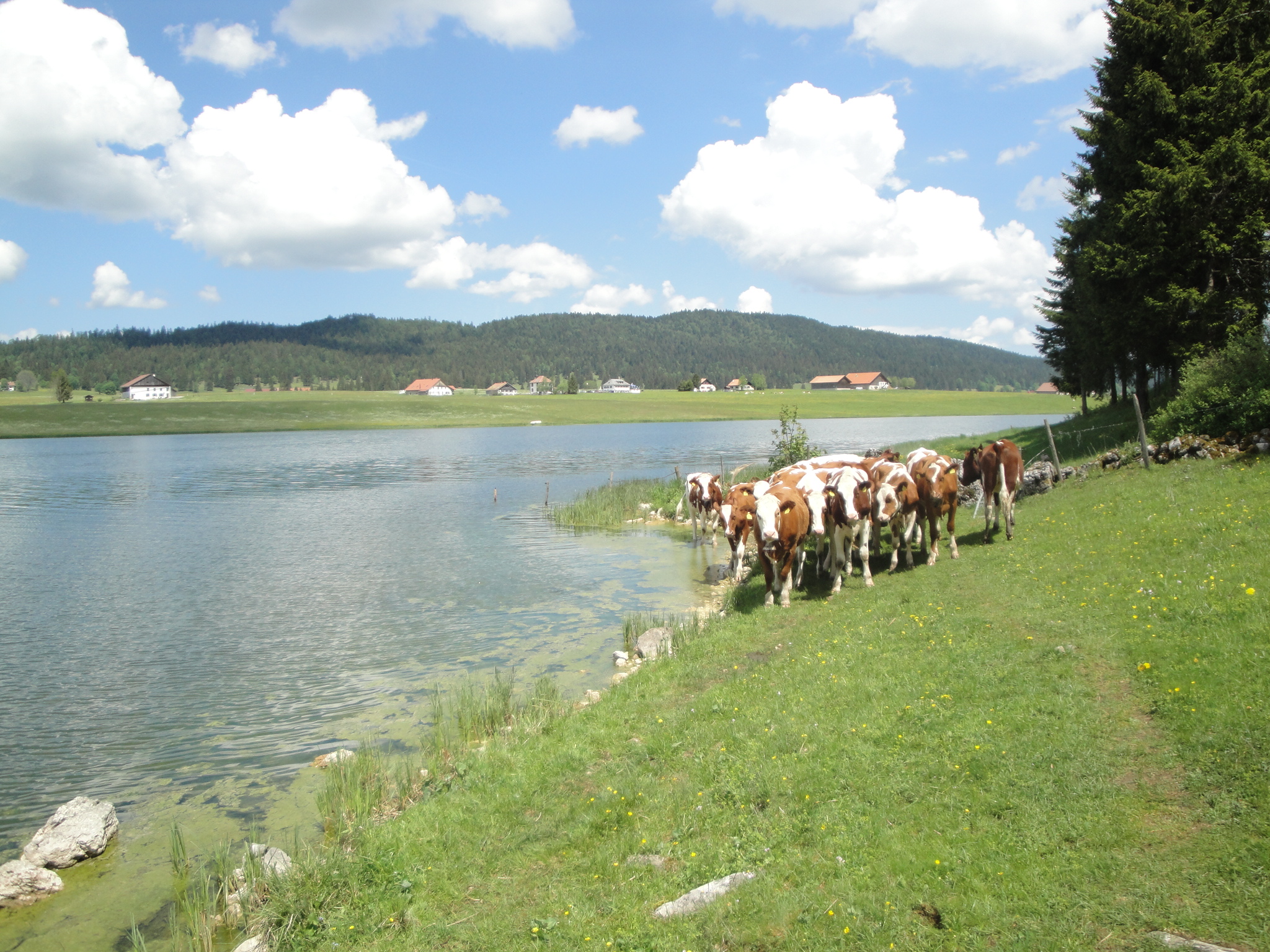
A flat, family-friendly loop around a calm lake in the Vallée de La Brévine, one of the coldest valleys in Switzerland.
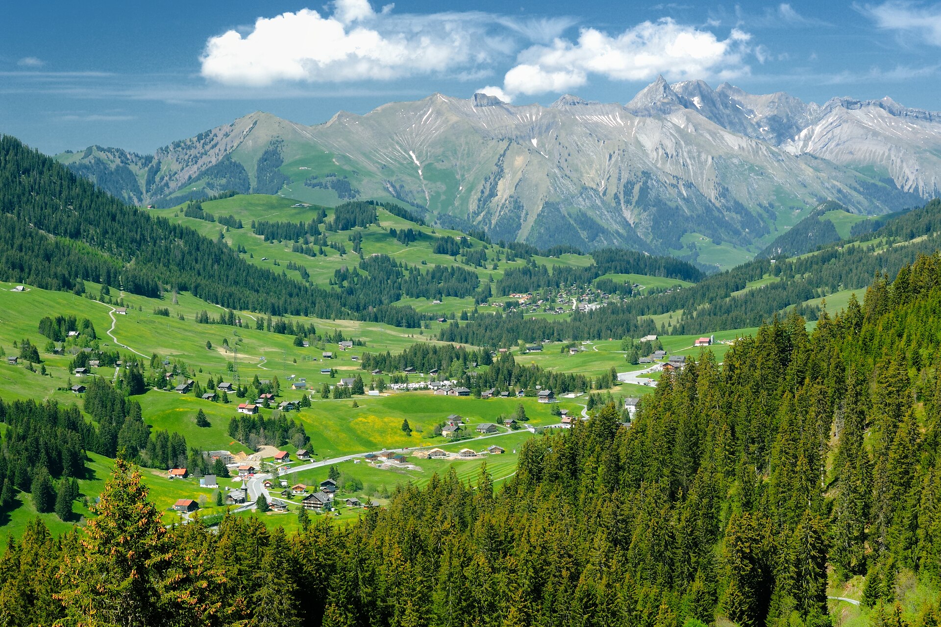
A small mountain lake under a limestone crest, reached through alpine meadows.
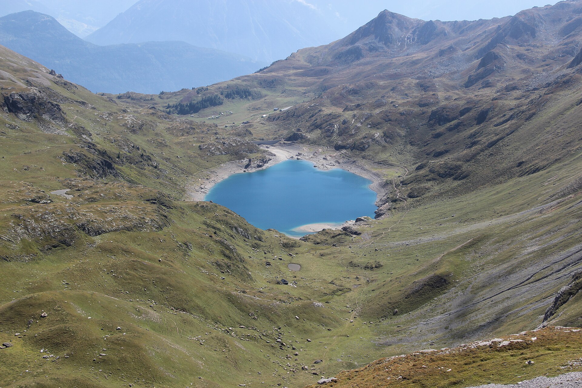
Discover wild high-altitude alpine reservoirs and dramatic cliff drops above the Rhone Valley.
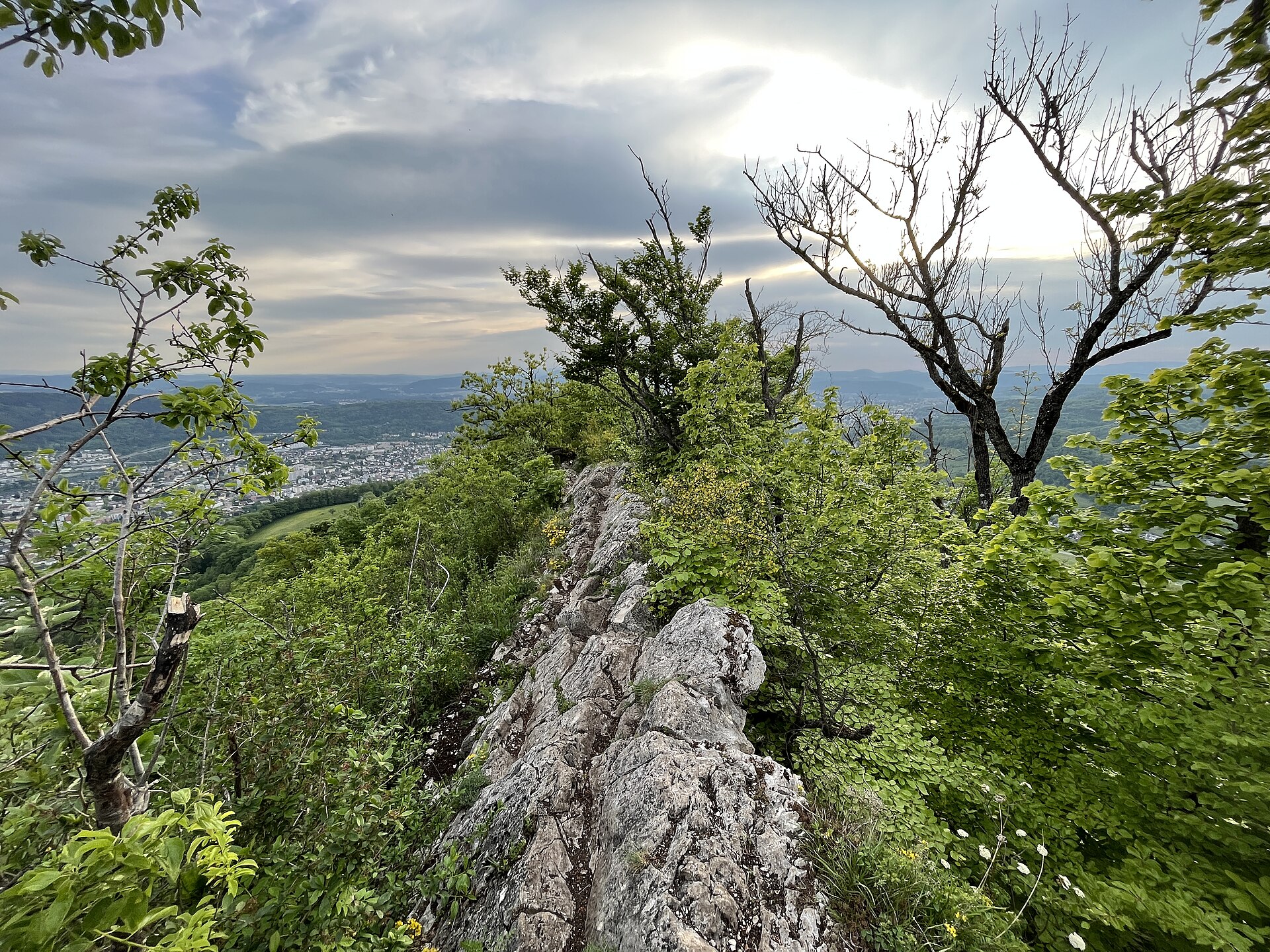
A long wooded ridge, a spa town at one end and a medieval hilltop town at the other.
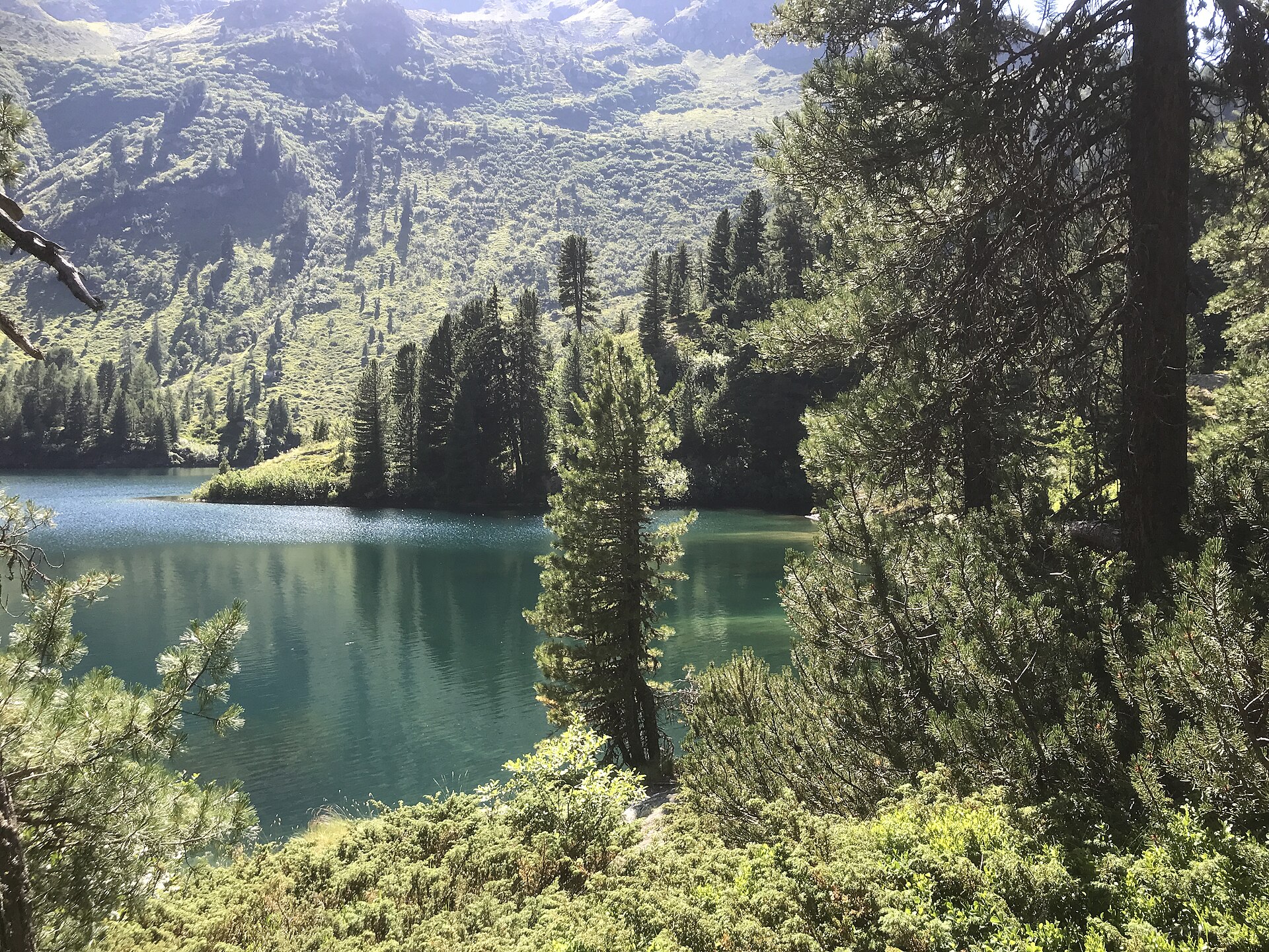
A small lake in a larch forest, often called the most beautiful in the Engadin.
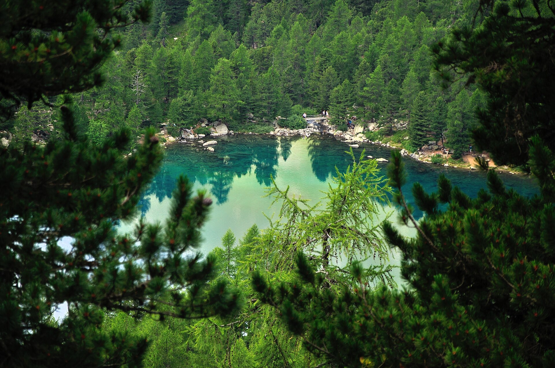
A high lake in an Italian-speaking valley, reached from a tiny hamlet.
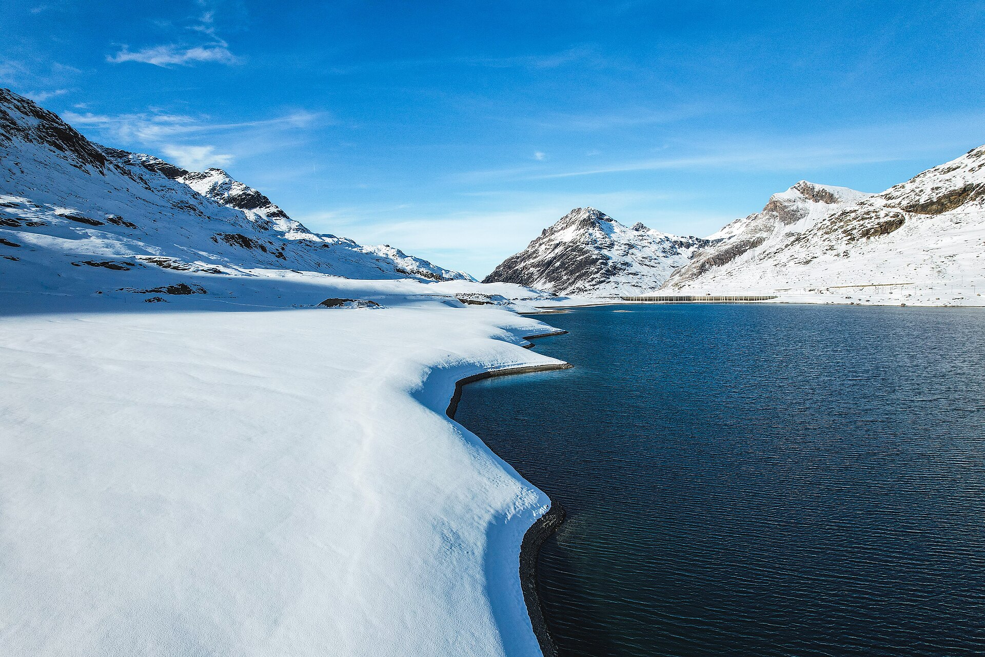
A high pass lake at 2,250 metres, where the water flows to the Black Sea and the Adriatic.
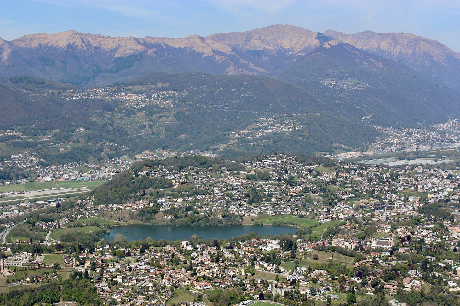
A flat loop of a protected reserve lake in the hills west of Lugano, ringed by reeds and carpeted with water lilies in summer.
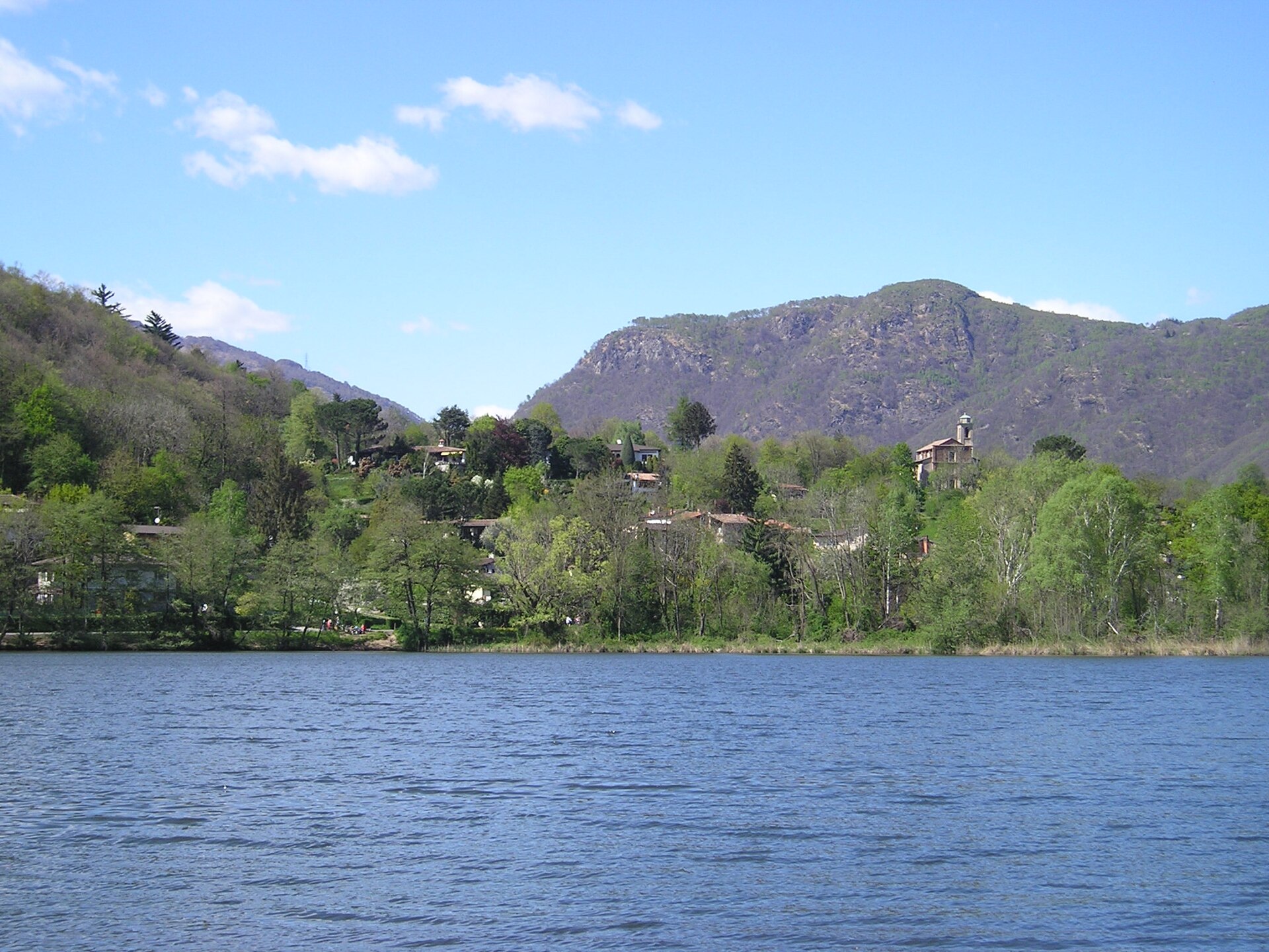
A flat shoreline loop of a protected lake north of Lugano, a refuge for waterbirds and amphibians ringed by reeds and woods.
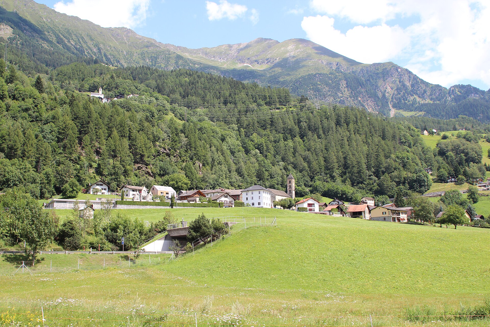
A 10 km plateau walk between two high Piora Valley lakes, one with water that never mixes.
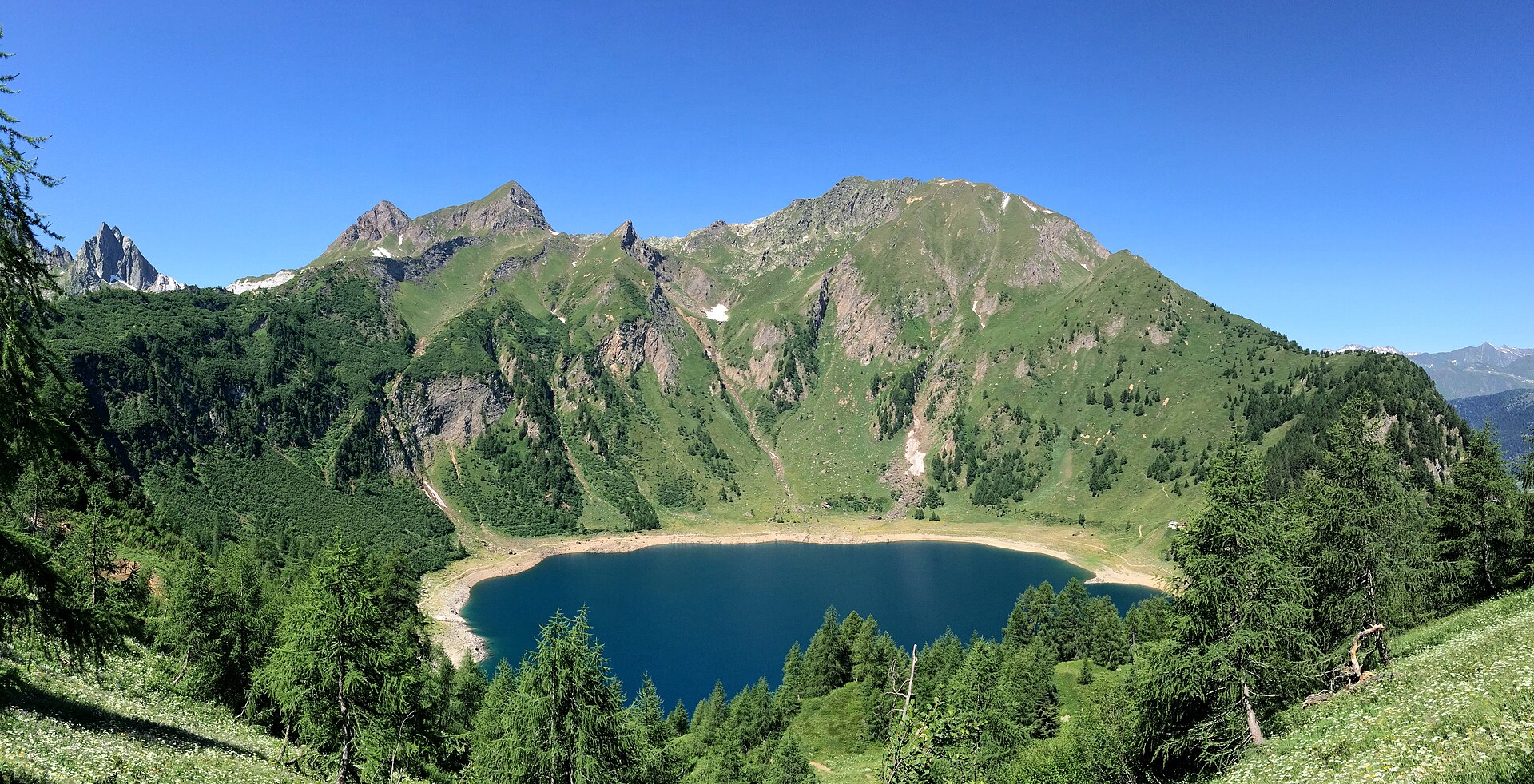
A short loop of a deep-blue mountain lake at 1,830 m above the Leventina, reached by cable car and set beside the Capanna Leit.
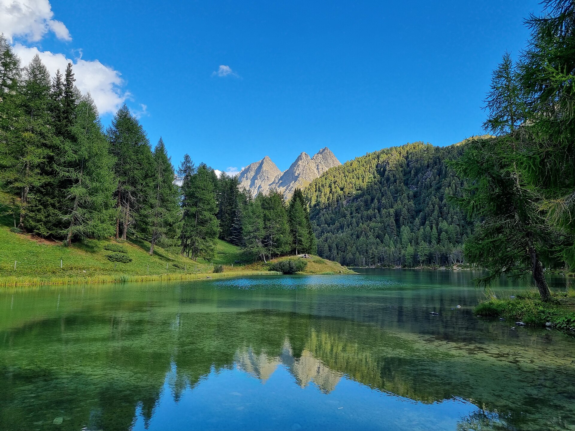
A small mountain lake on the old Albula road, with the Albula railway nearby.
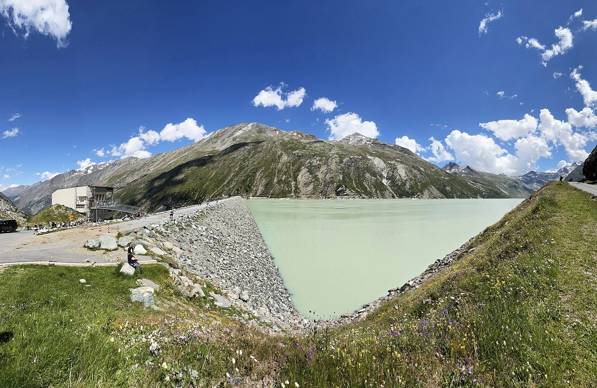
An easy 8 km loop around a quiet reservoir at 2,197 m under the 4,000-metre peaks of the Saas valley.
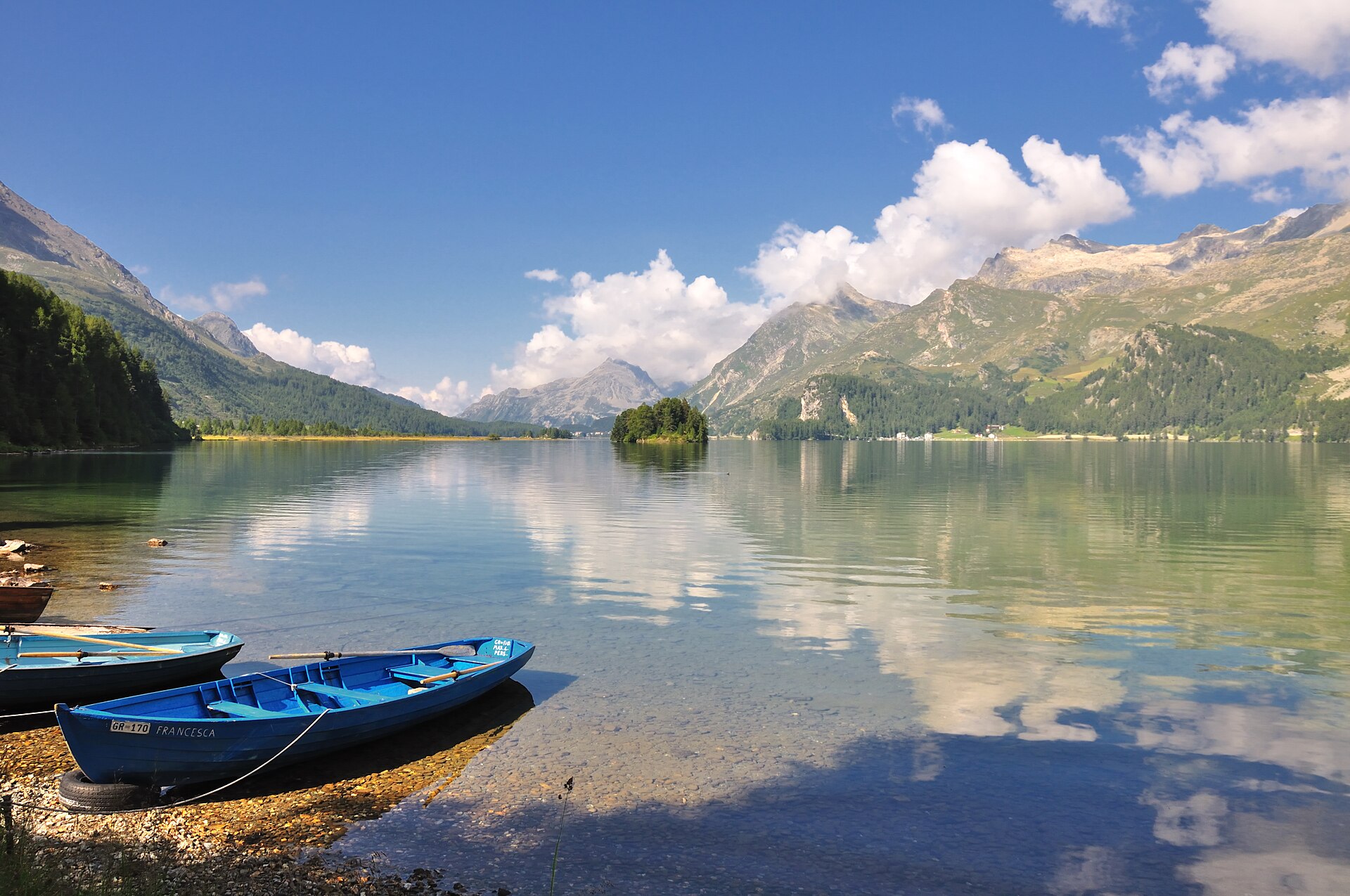
A long flat lake path that Nietzsche loved, with the Maloja snake below.
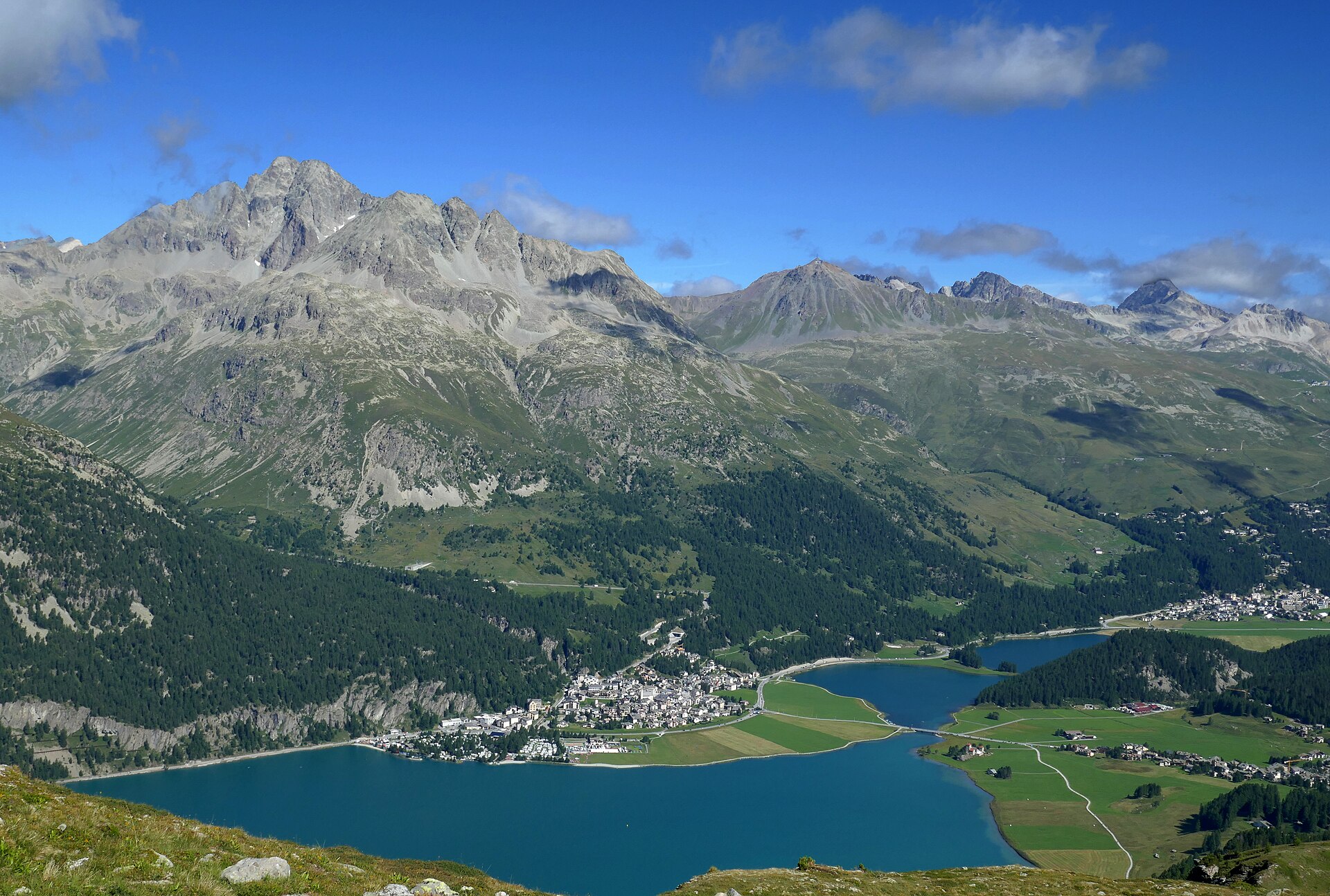
A windy lake where kitesurfers fly, and a rock where Nietzsche had an idea.
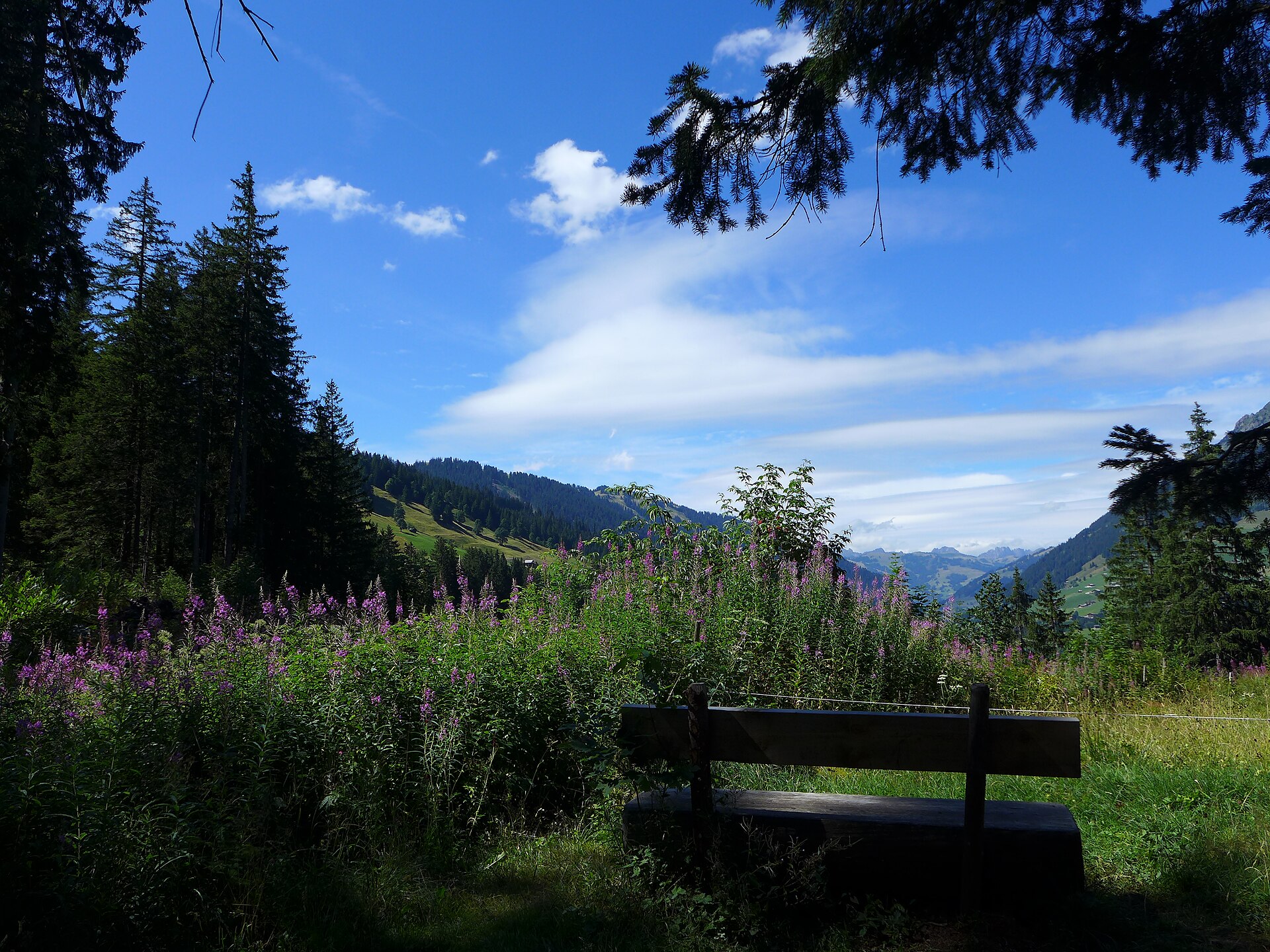
A small protected lake in a side valley, away from the Gstaad crowds.
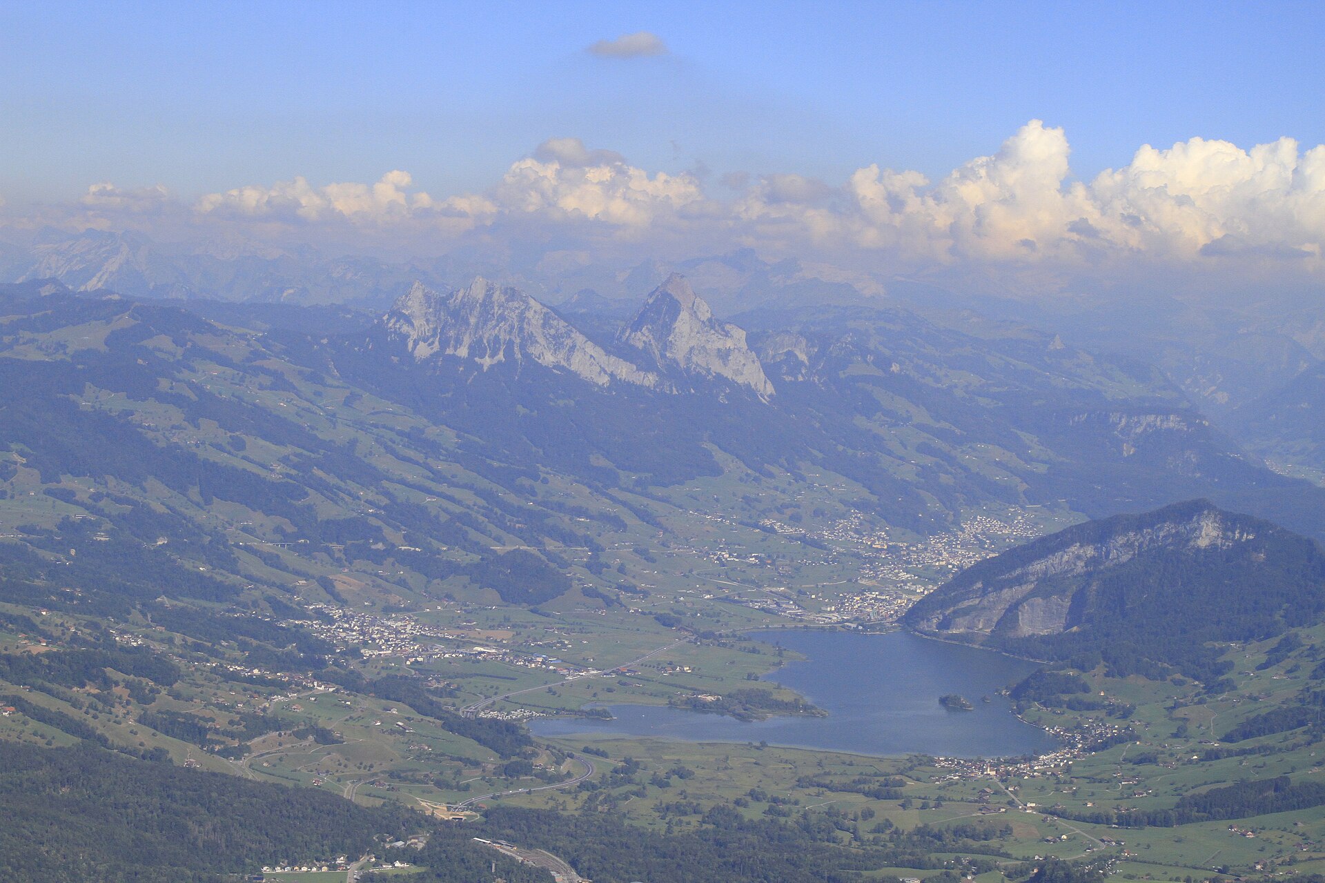
A small lake below the Rossberg, with a castle ruin on an island and a flat loop.
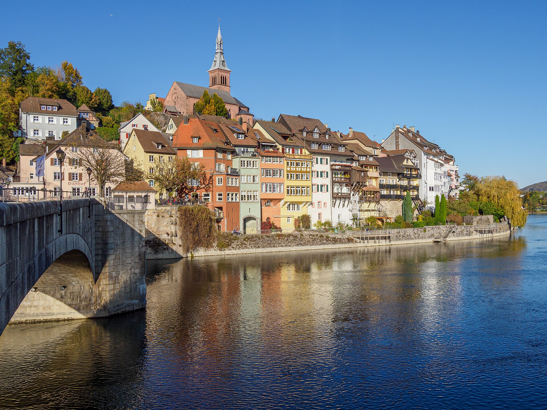
A medieval town split by the Rhine, joined by a footbridge to its German twin.
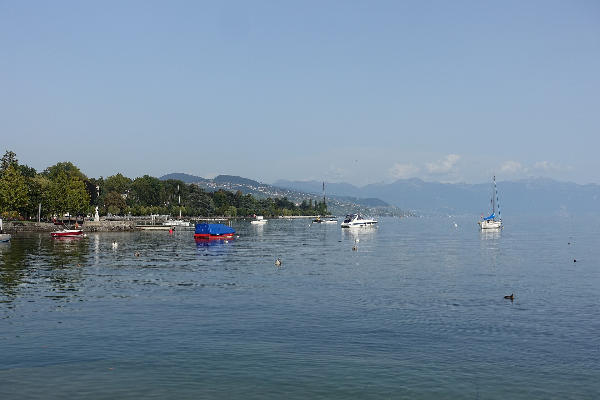
The Olympic capital's lakefront, then vineyards and a medieval village.
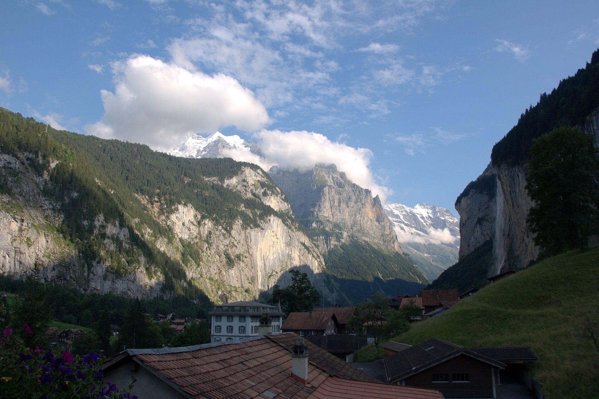
A legendary and immensely accessible valley walk through the "Valley of 72 Waterfalls." Starting from Lauterbrunnen railway station, the flat, paved and gravel path winds alongside the rushing White Lütschine river beneath towering vertical limestone cliff walls, passing world-famous cascades including the roaring Staubbach Falls and the subterranean glacial clefts of Trümmelbach Falls.
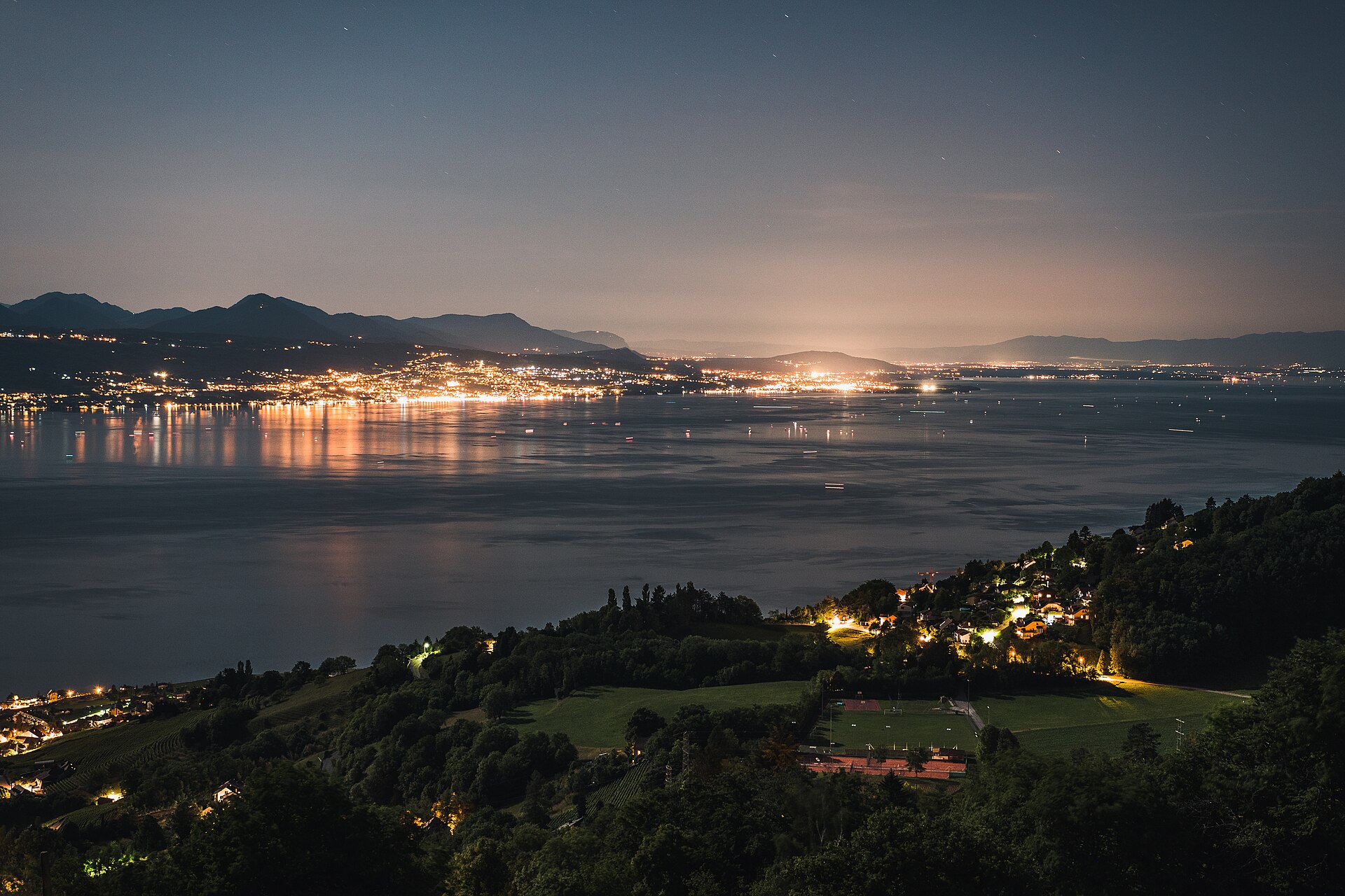
A 16 km walk from Lutry to Vevey through the UNESCO vineyard terraces above Lake Geneva, with a tasting stop in every village.
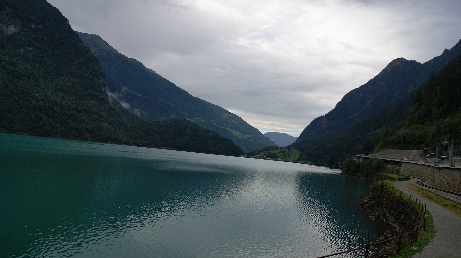
A quiet lake path in an Italian-speaking valley, ending at a small station.
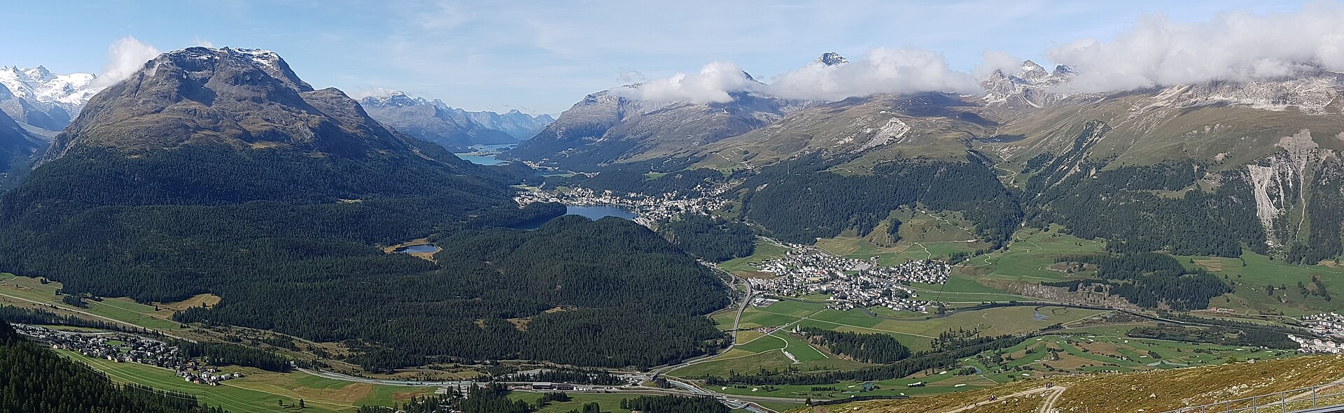
A small forest lake that warms enough to swim in, between two Engadin resorts.
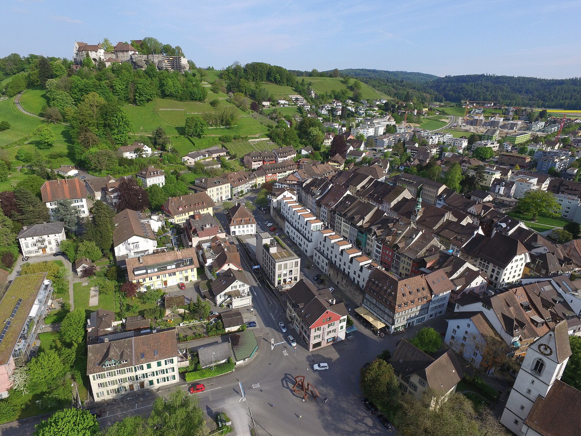
A hilltop castle, a hilltop church and a quiet loop between them.
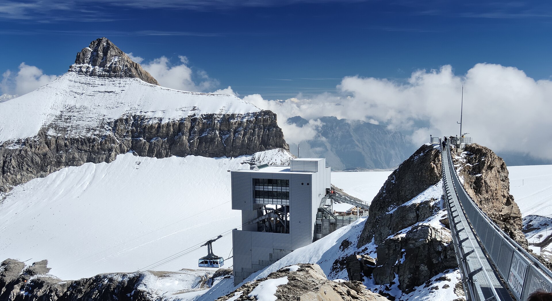
A thrilling high-altitude glacier experience centered around Glacier 3000 (Les Diablerets). Featuring the world's first and only suspension bridge connecting two mountain peaks—the Peak Walk by Tissot—the route offers direct access to snow and ice fields, the Dôme summit (2,971 m), and monumental vistas encompassing over 24 four-thousand-meter summits, including Mont Blanc, Matterhorn, Eiger, Mönch, and Jungfrau.
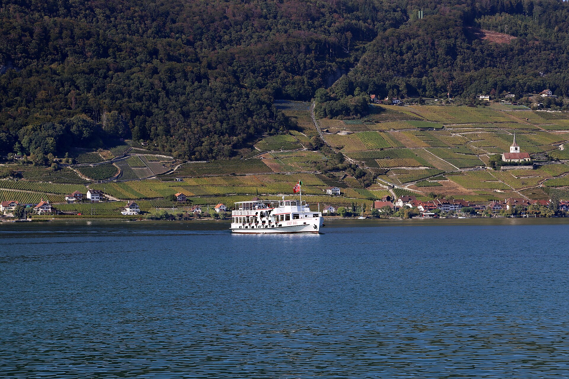
Terraced vines above the lake, a wine museum and a small wild gorge.
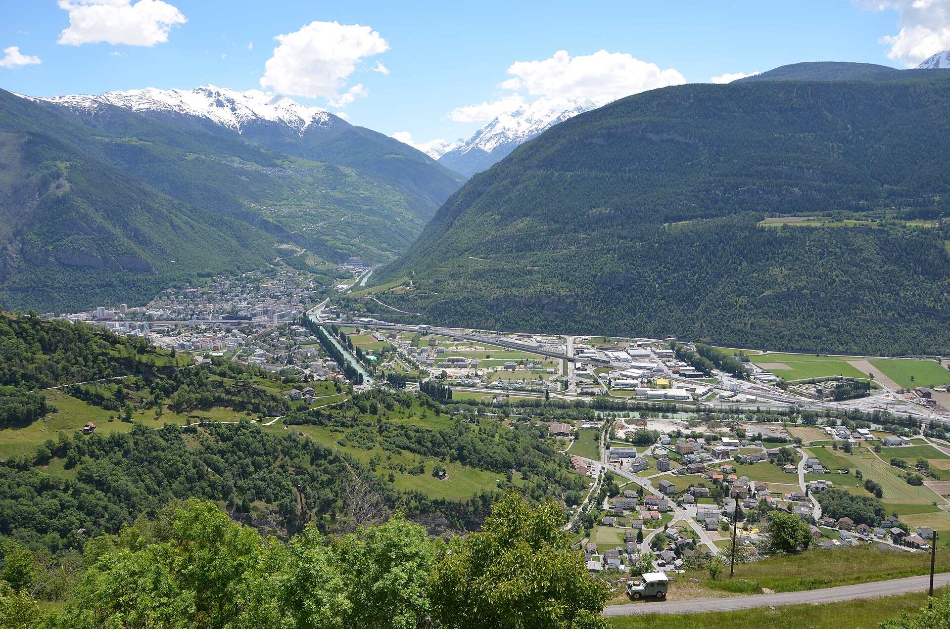
A hillside path beside a dramatic railway, and an old irrigation channel with sheer drops.
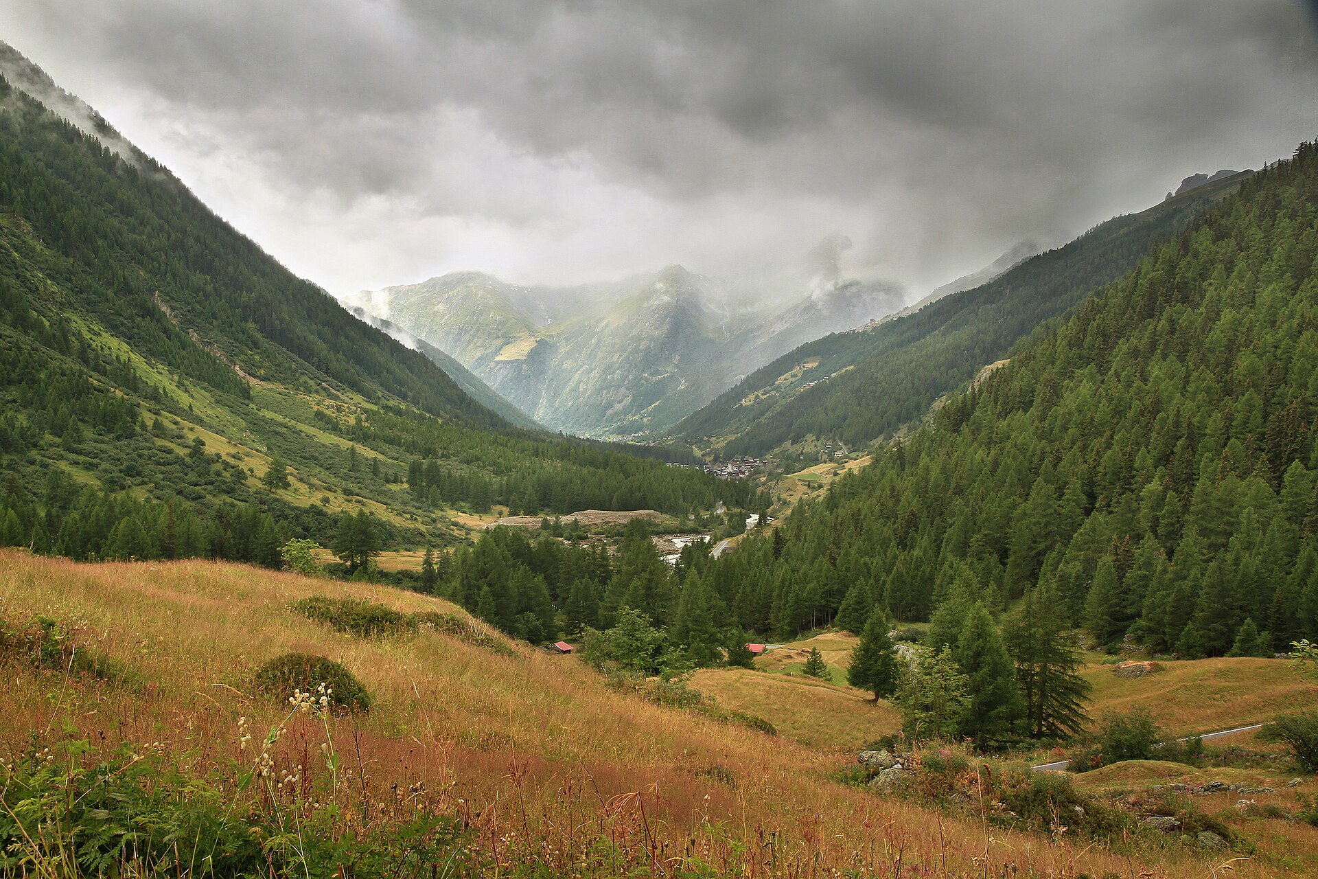
A breathtaking and culturally rich high-valley hike exploring the Lötschenthal—one of the most pristine, traditional valleys in the Valais Alps. Following the roaring Lonza river through deep pine gorges and past ancient wooden barns, the trail climbs toward the sun-drenched alpine pastures of Kummen Alp, offering dramatic views of hanging glaciers, rugged peaks, and authentic Valais heritage architecture.
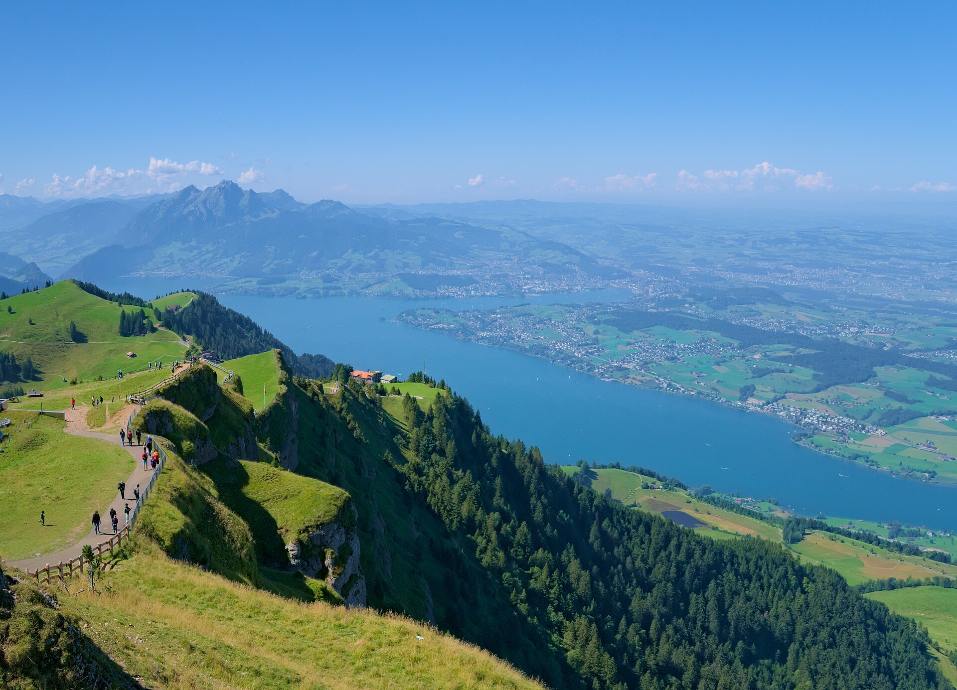
A flat lake promenade with villas, parks and a view of Mount Pilatus.
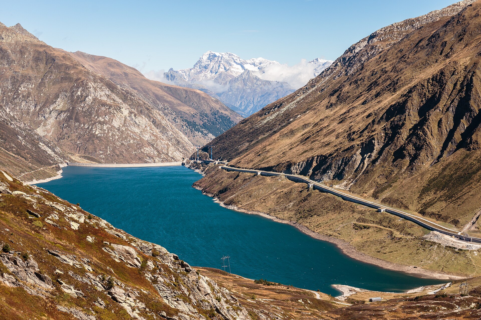
A pass lake and a chapel on the old route between Disentis and Ticino.
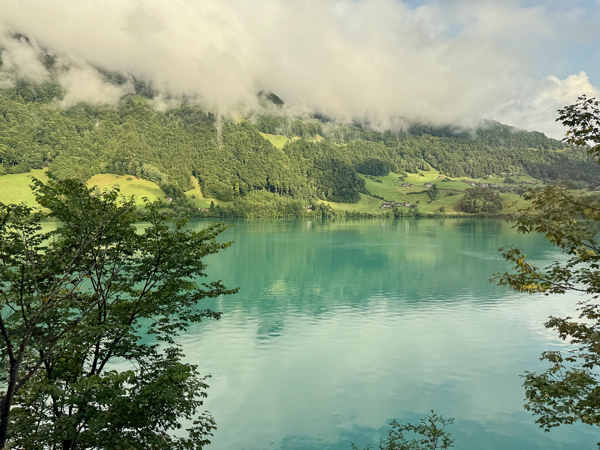
A green mountain lake below the Brünig pass, with a flat path around it.
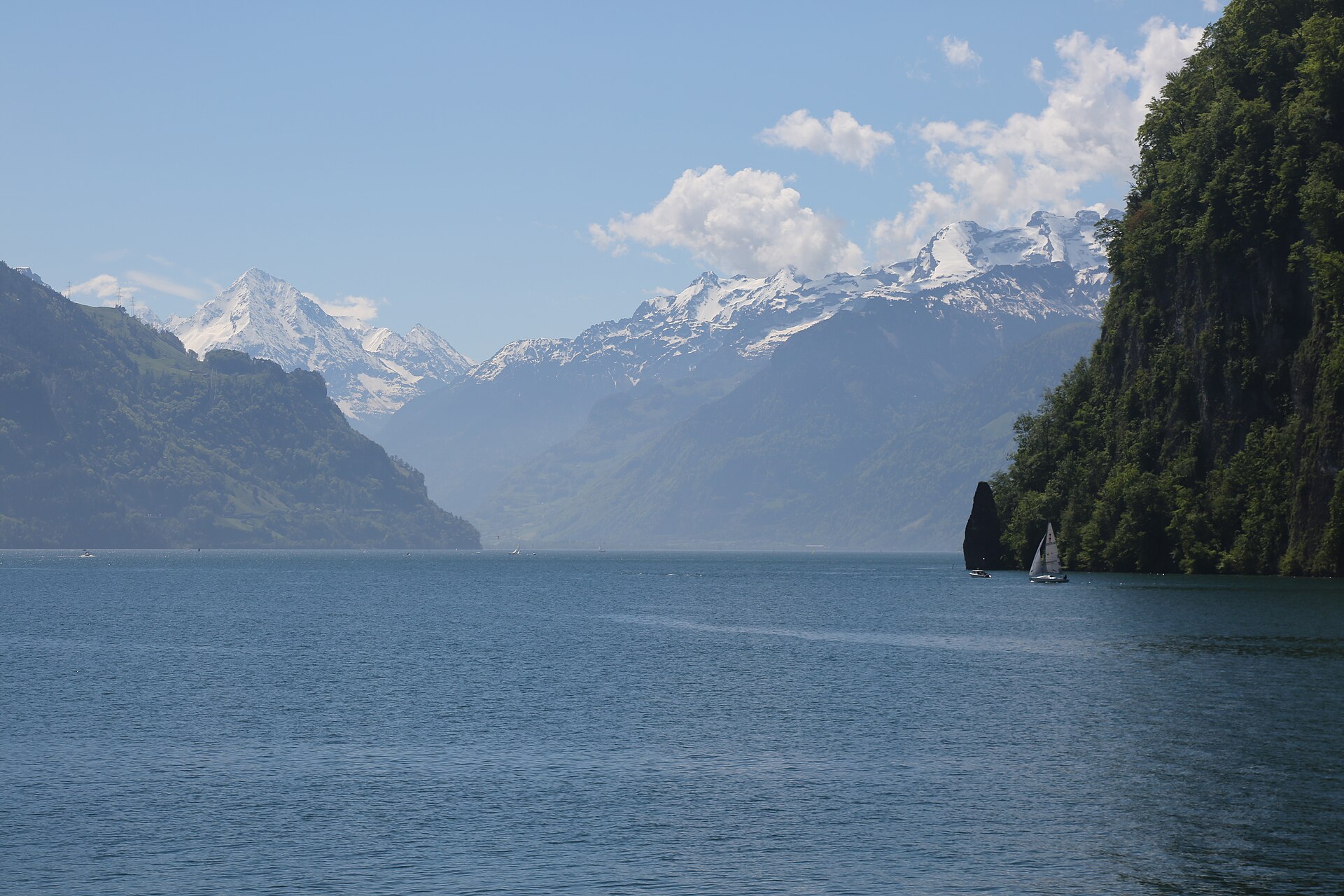
A hidden valley with waterfalls and a hut under the Hüfi glacier.
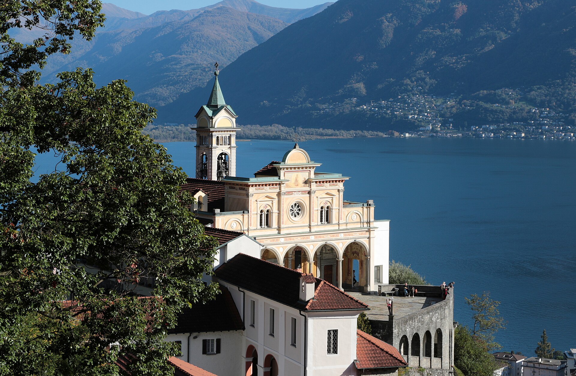
A stepped Via Crucis climbing through wooded chapels to Locarno's cliff-top sanctuary, with Lake Maggiore and the Maggia delta below.
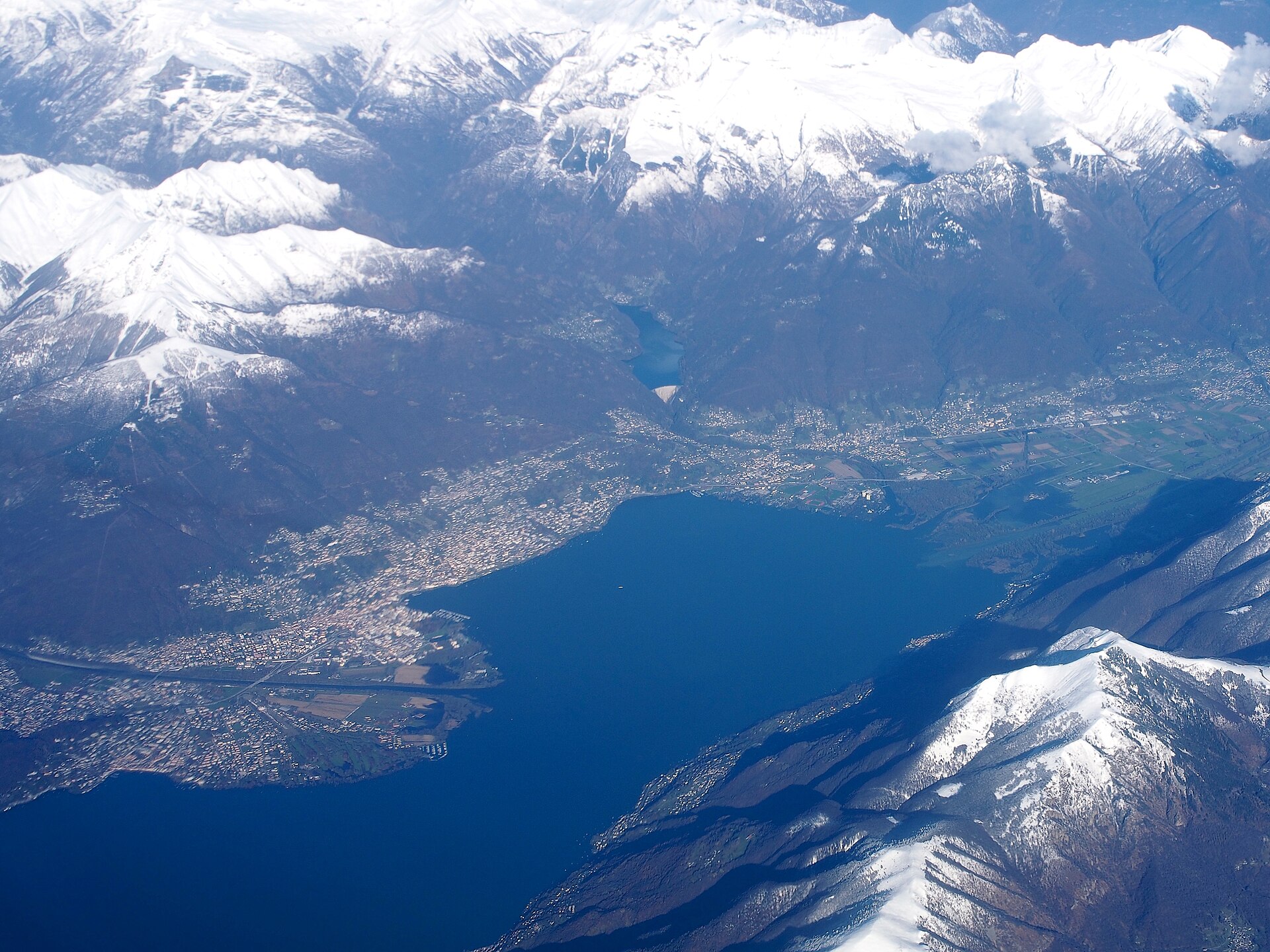
A flat walk across a river delta with beaches, reeds and two lakeside towns.
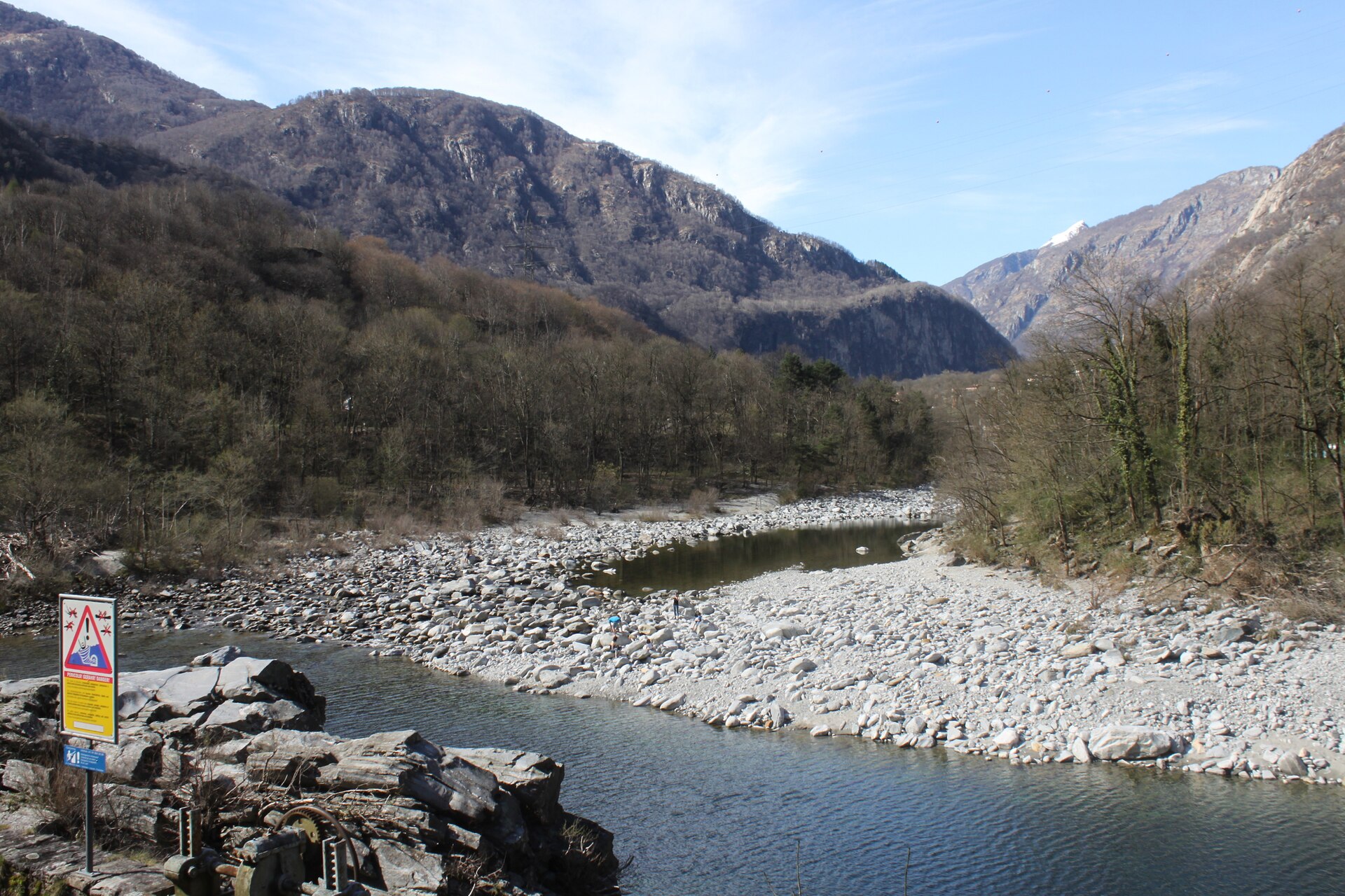
A granite gorge with swimming pools, a bridge and a hillside path.
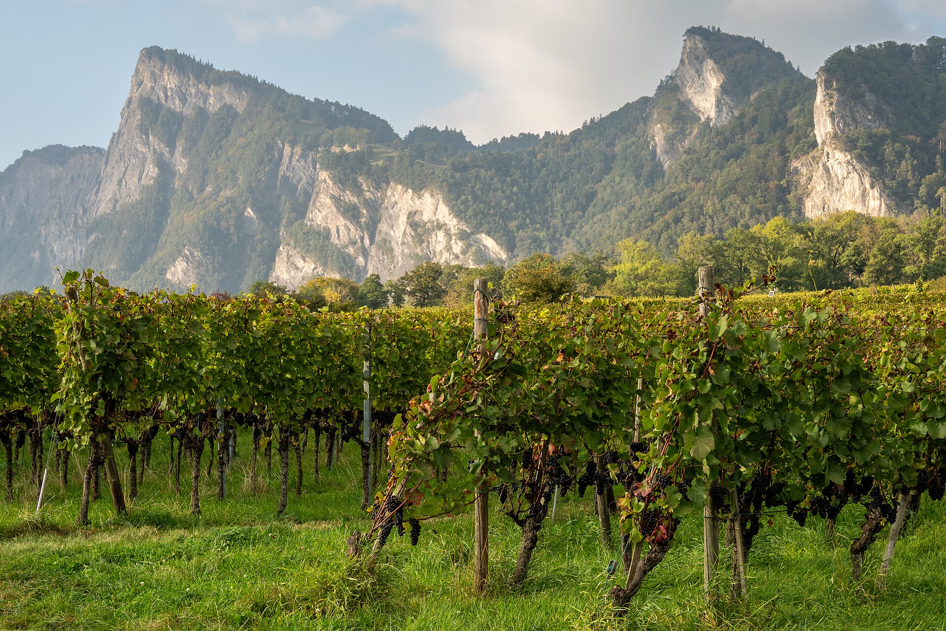
The village where Heidi is set, among vineyards at the foot of the Rhine valley.
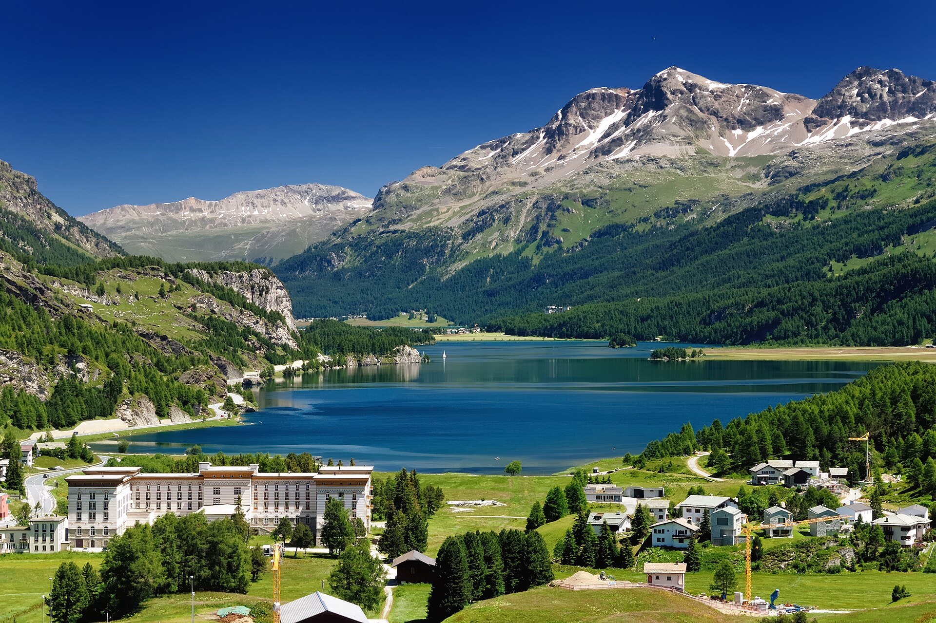
Giant potholes carved by glacier meltwater, and a view down the Maloja snake.
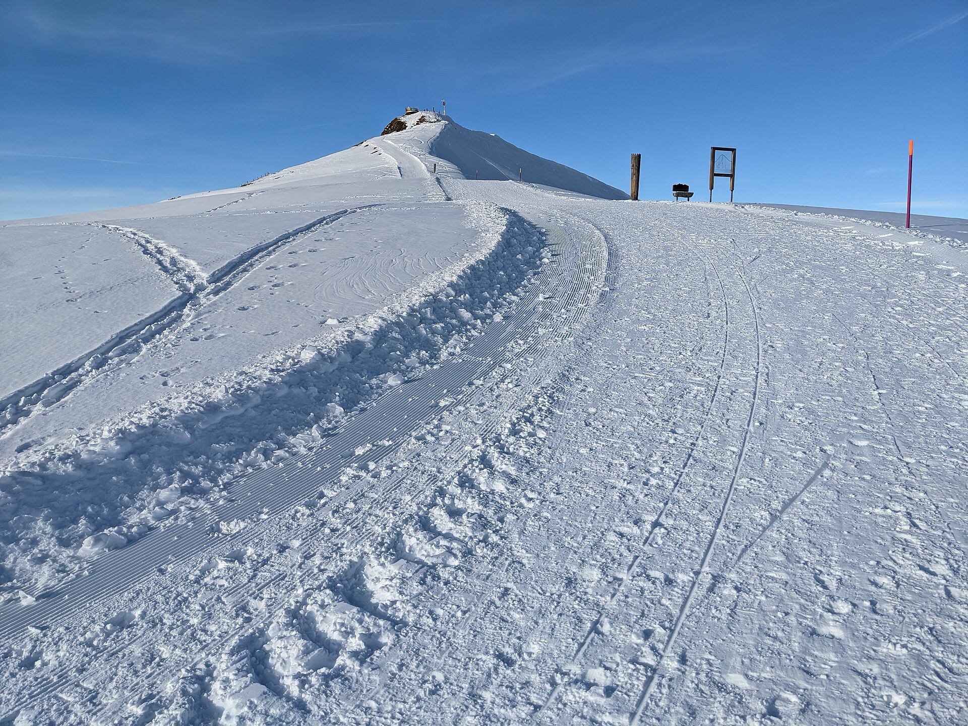
Widely acclaimed as one of the most stunning, effortless, and breathtaking high-alpine panorama walks in the entire Swiss Alps. Starting from the Männlichen summit ridge station at 2,230 meters, the wide, gentle gravel trail meanders smoothly along pastoral alpine meadows directly facing the monumental north faces of the Eiger, Mönch, and Jungfrau, ending at the historic mountain pass of Kleine Scheidegg.
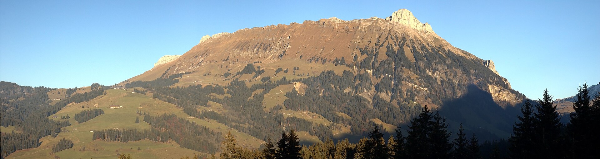
A UNESCO biosphere of moors, ridges and cheese, a short ride from Lucerne.
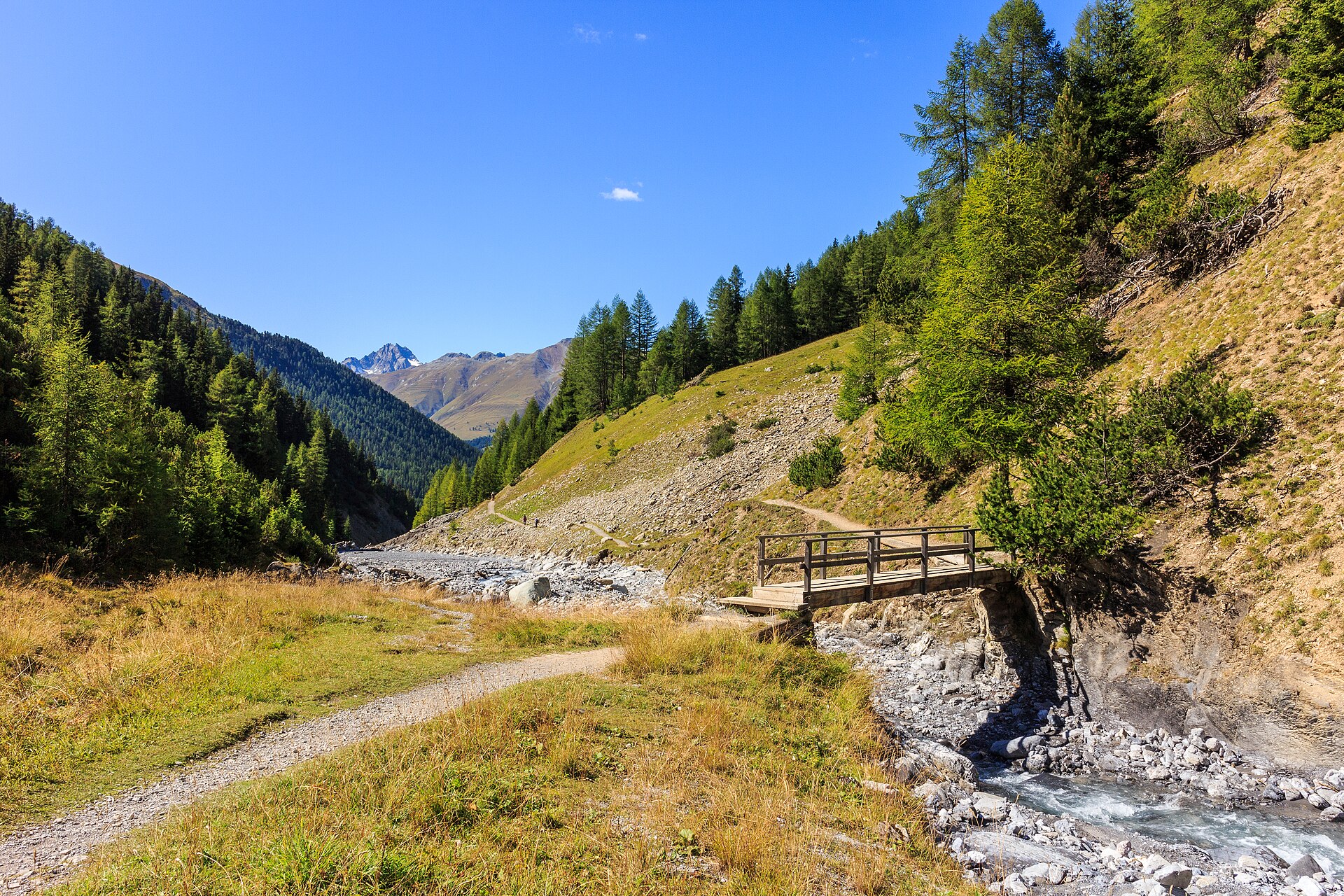
Traverse high alpine plateaus and spot red deer, chamois, and ibex in Switzerland's oldest reserve.
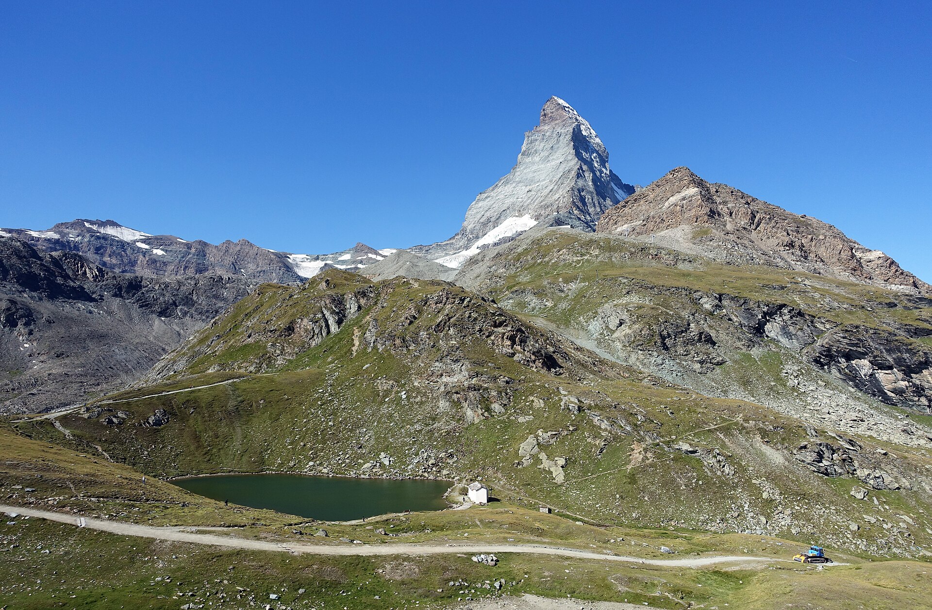
An awe-inspiring high-alpine trail traversing the ancient moraine landscape directly beneath the colossal east and south faces of the Matterhorn (4,478 m). Starting from Trockener Steg at 2,939 meters—surrounded by towering hanging glaciers and glistening ice fields—the trail winds downward across polished rock slabs and alpine scree toward the iconic pilgrimage chapel and lake of Schwarzsee.
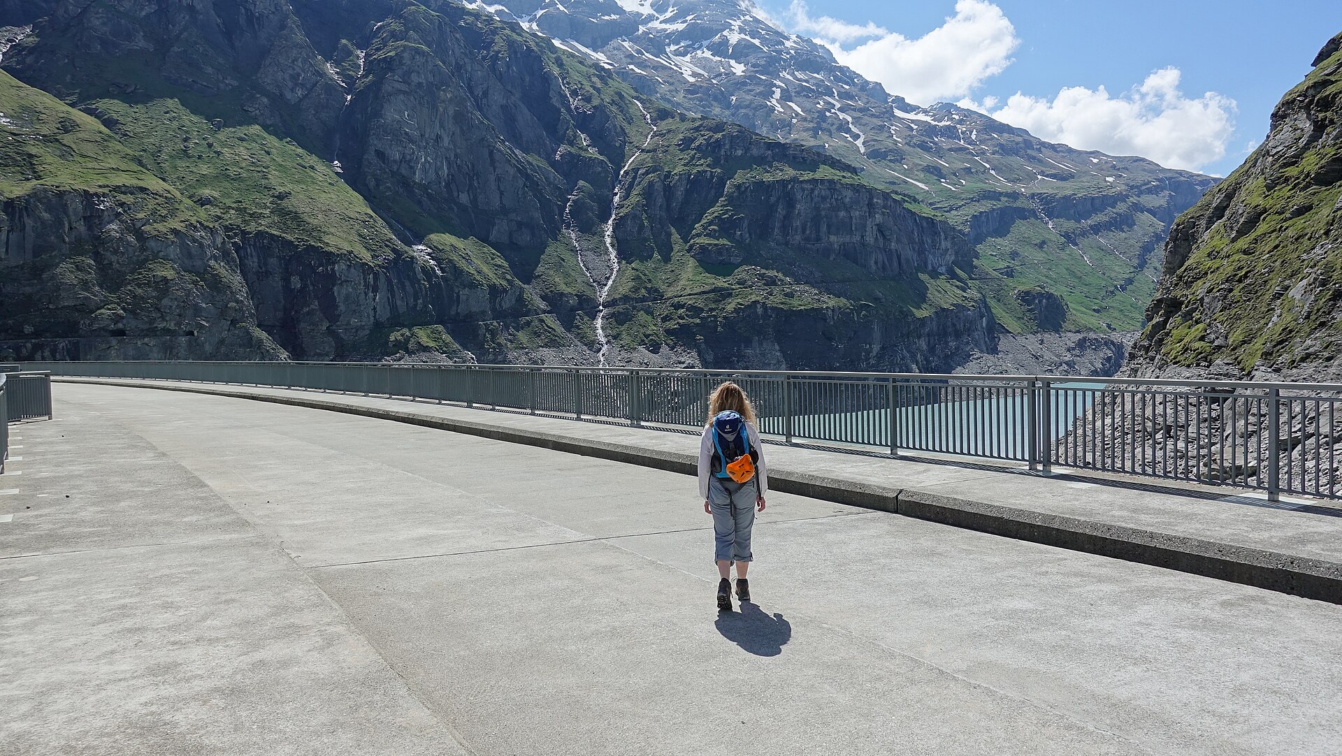
Switzerland's tallest arch dam, and a lake walk with glaciers above.
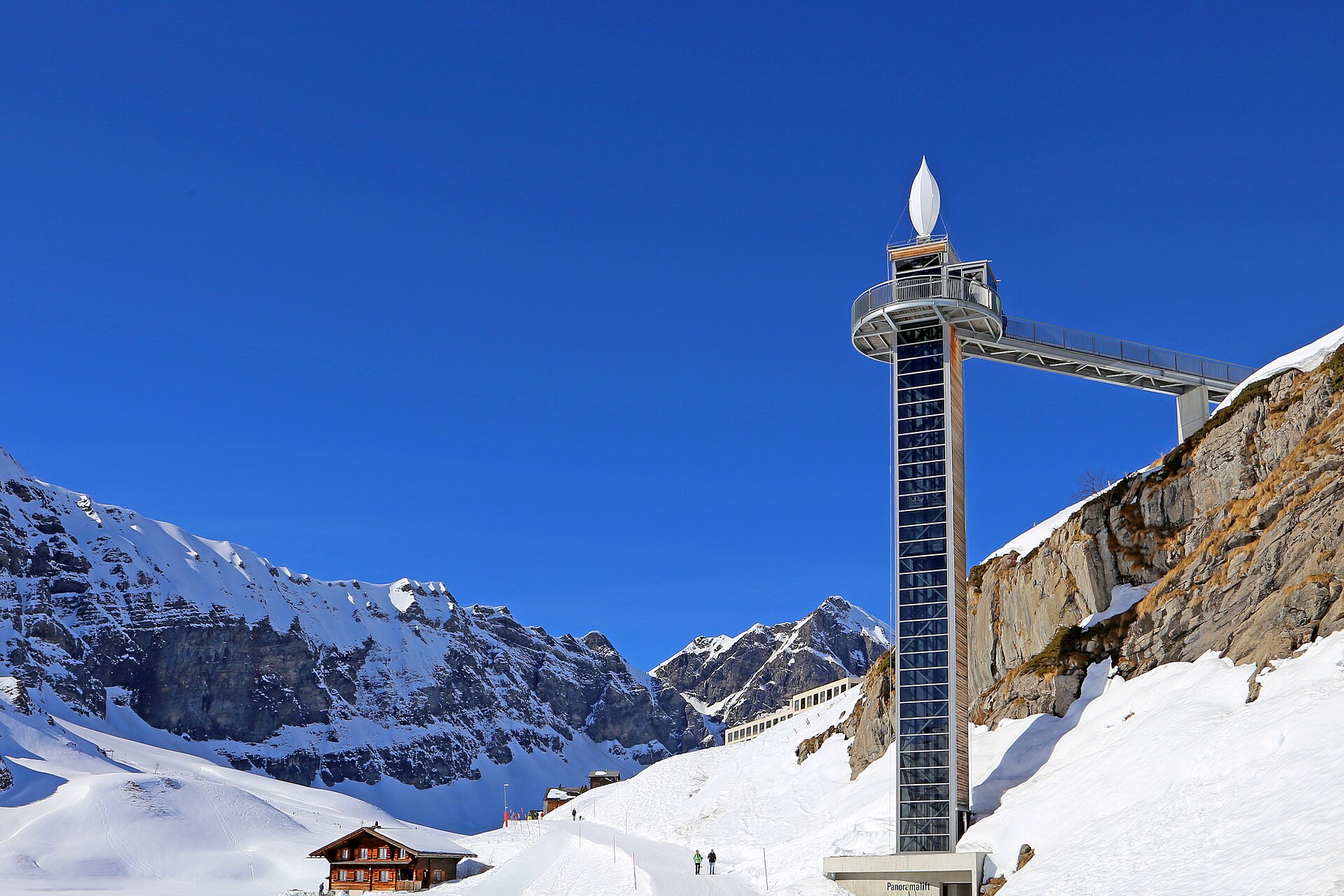
A high plateau with two lakes, reached by a gondola, and peaks all round.
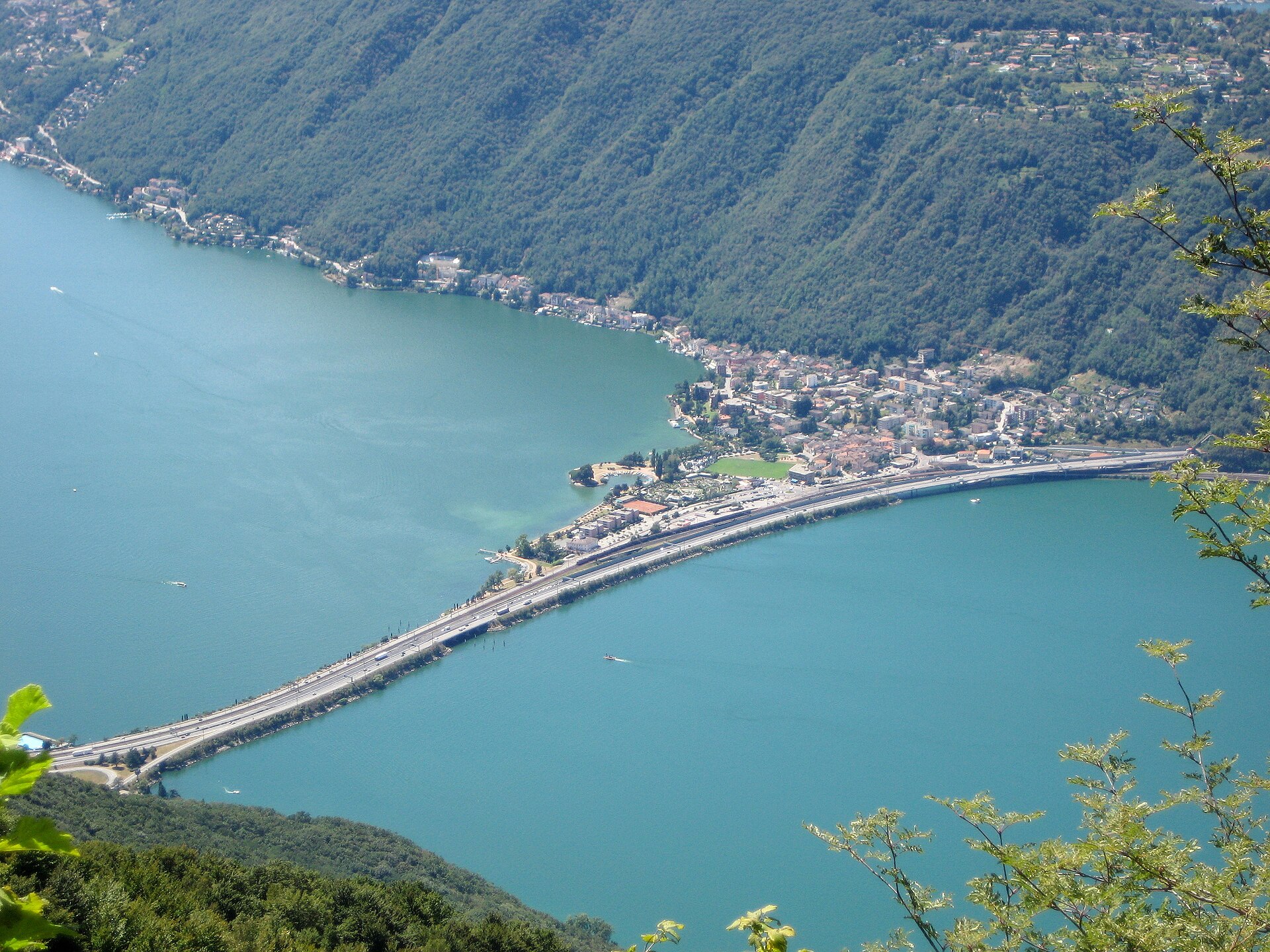
A lake shore walk to a village of steps, arcades and a botanical park.
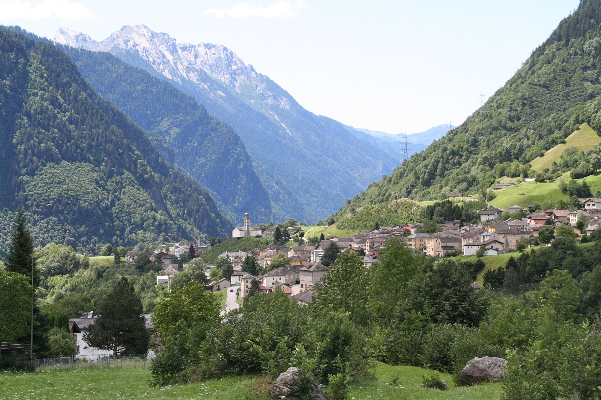
A castle ruin on a rock in an Italian-speaking valley south of the San Bernardino pass.
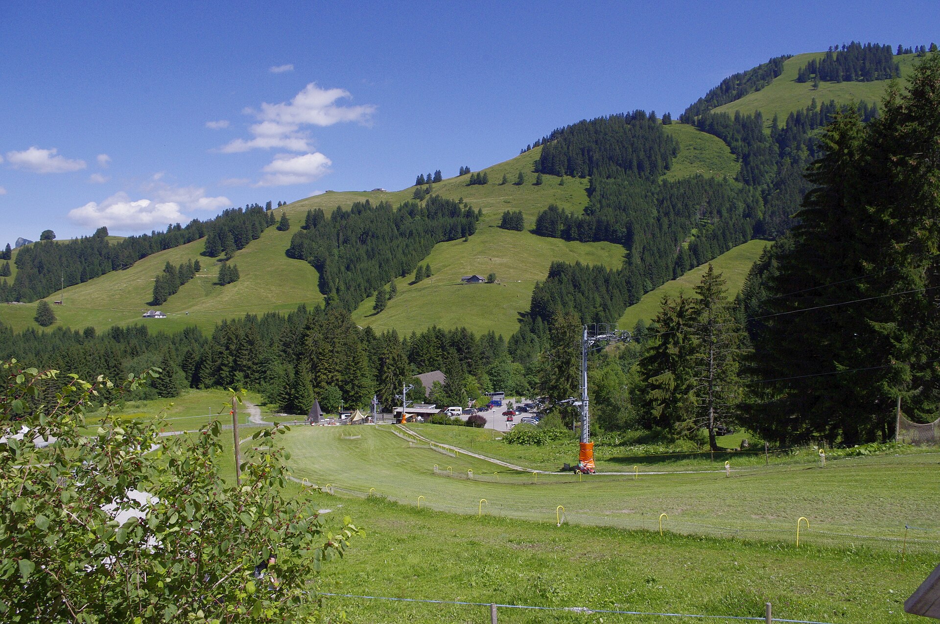
A 9 km climb from Moléson-Village to the 2,002 m cheese mountain above Gruyères, with huge views over Lake Geneva and the Alps.
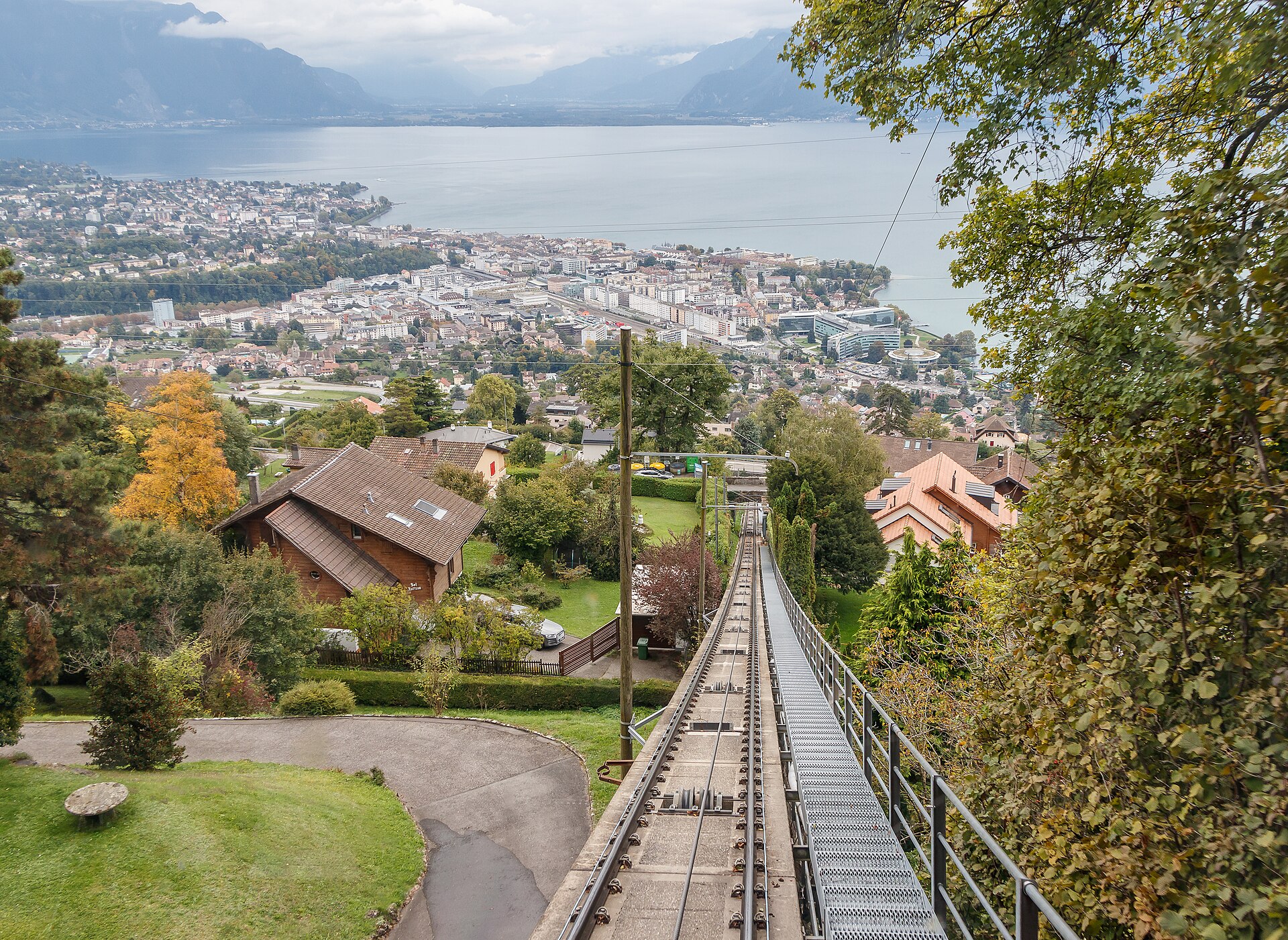
A funicular above Lavaux, then a gentle descent through villages to the lake.
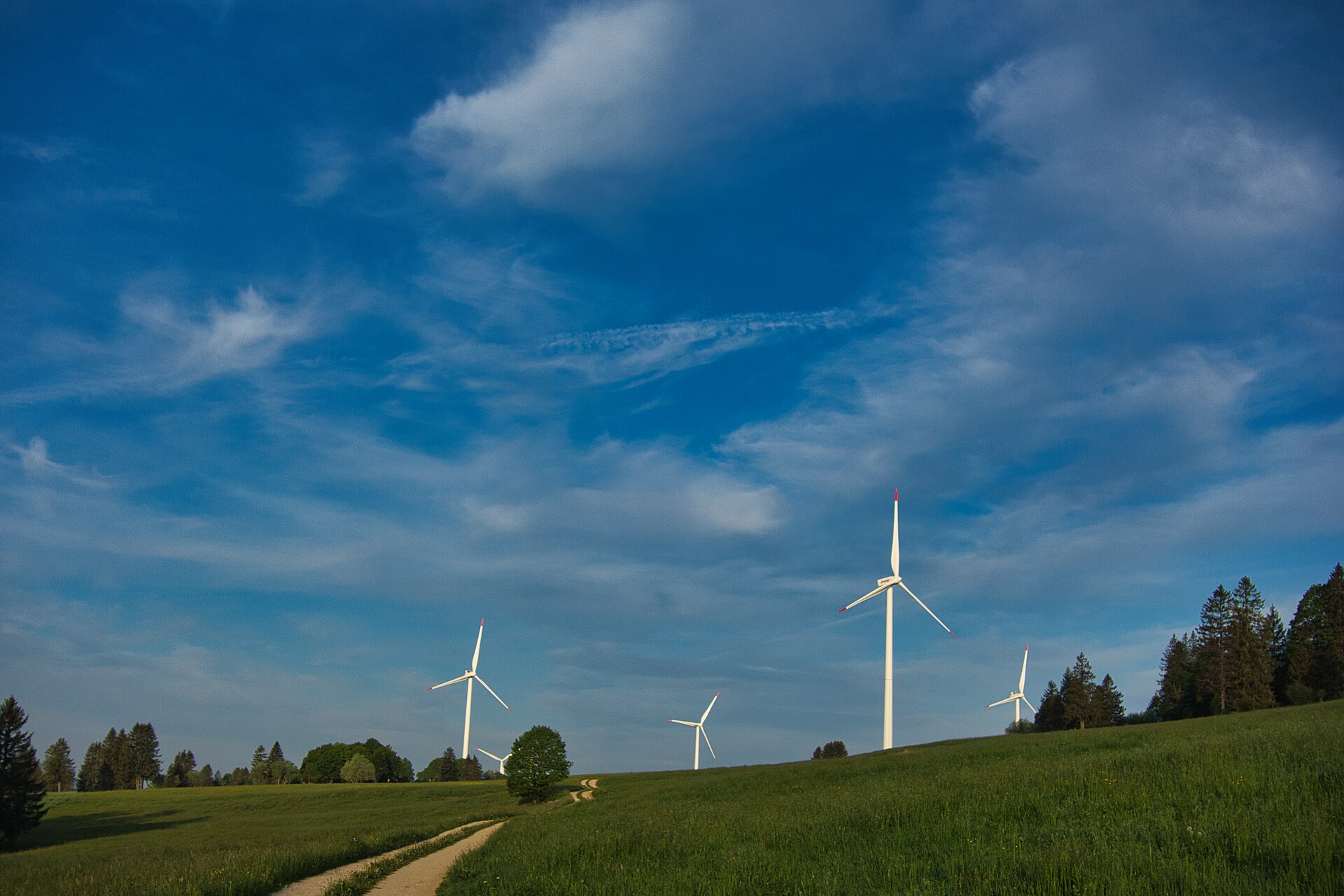
A funicular, a solar plant and the biggest wind turbines in Switzerland, on a high plateau.
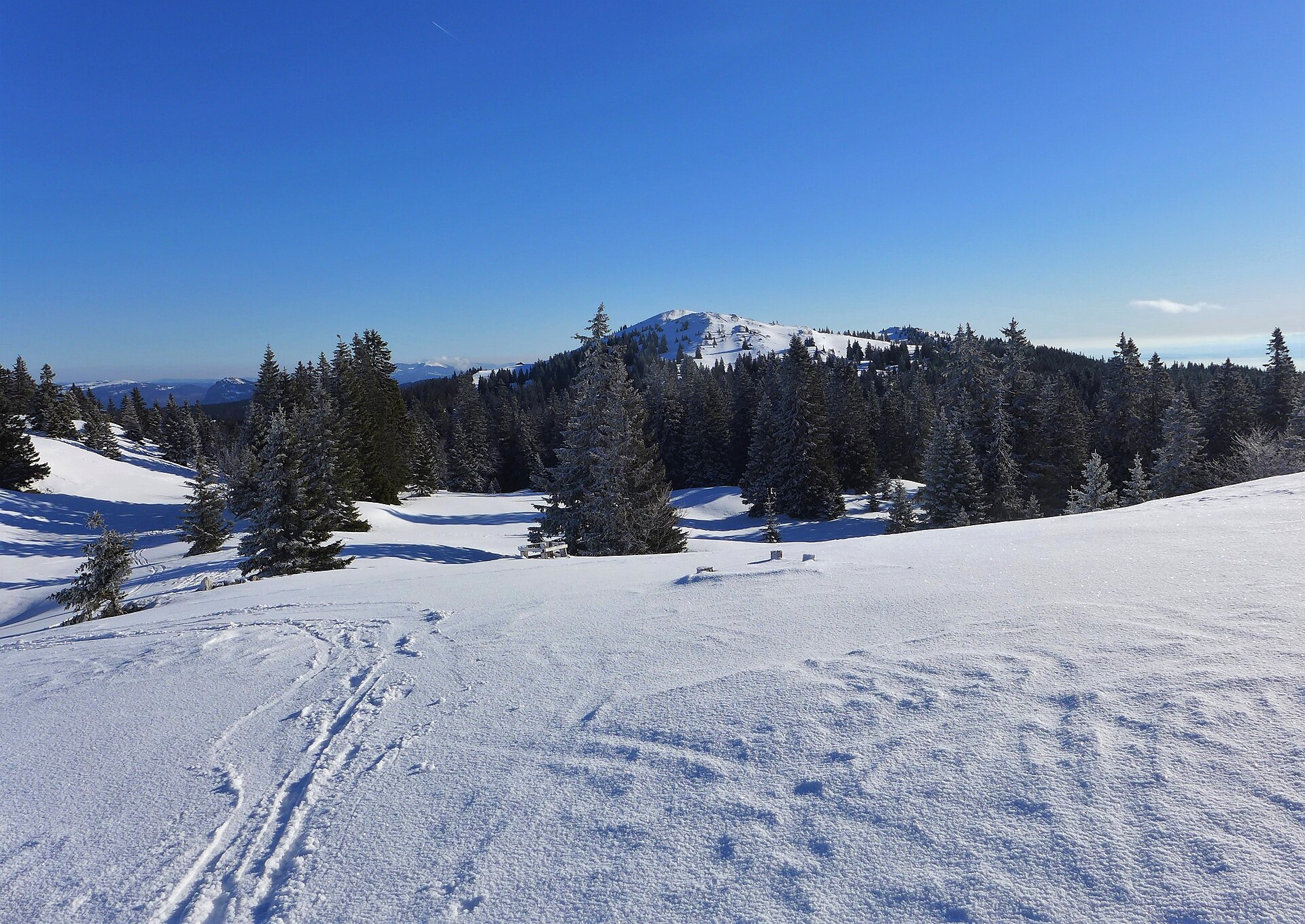
A long, gentle ridge walk from the Col du Marchairuz across open pasture to the highest summit of the Swiss Jura.
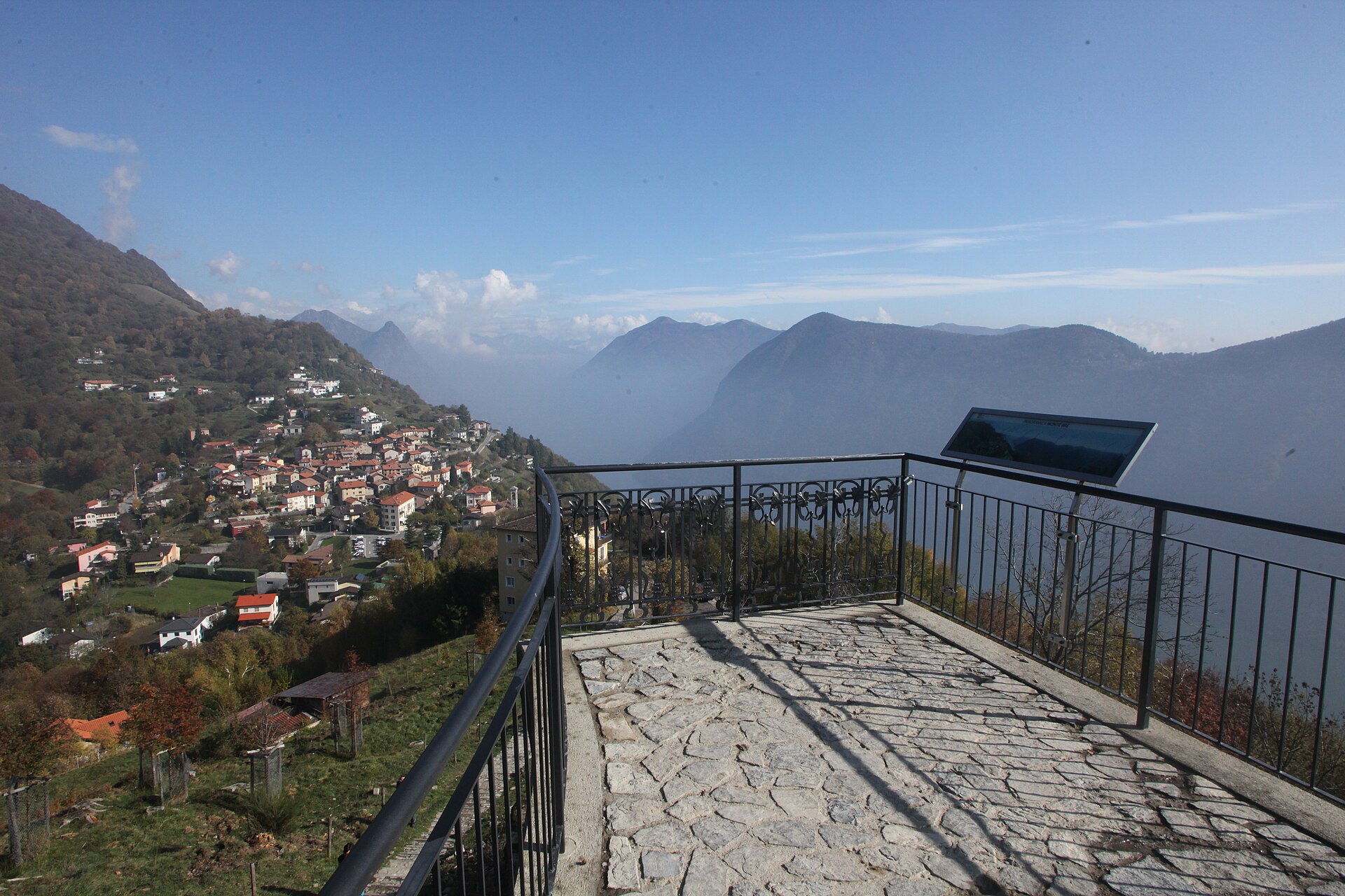
A forested summit above Lake Lugano with a view of two countries.
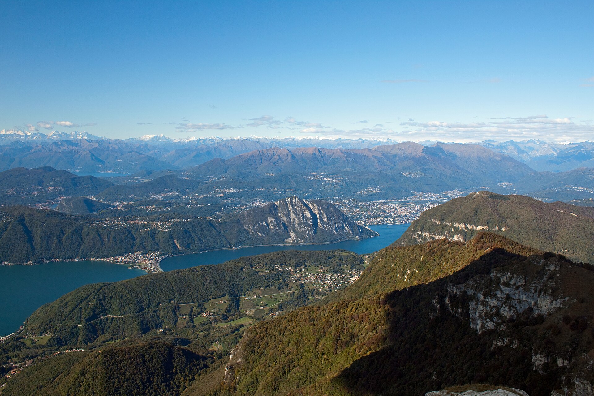
A rack-railway summit above Lake Lugano, topped by Botta's Fiore di Pietra, with views to Monte Rosa, the Po plain and Milan.
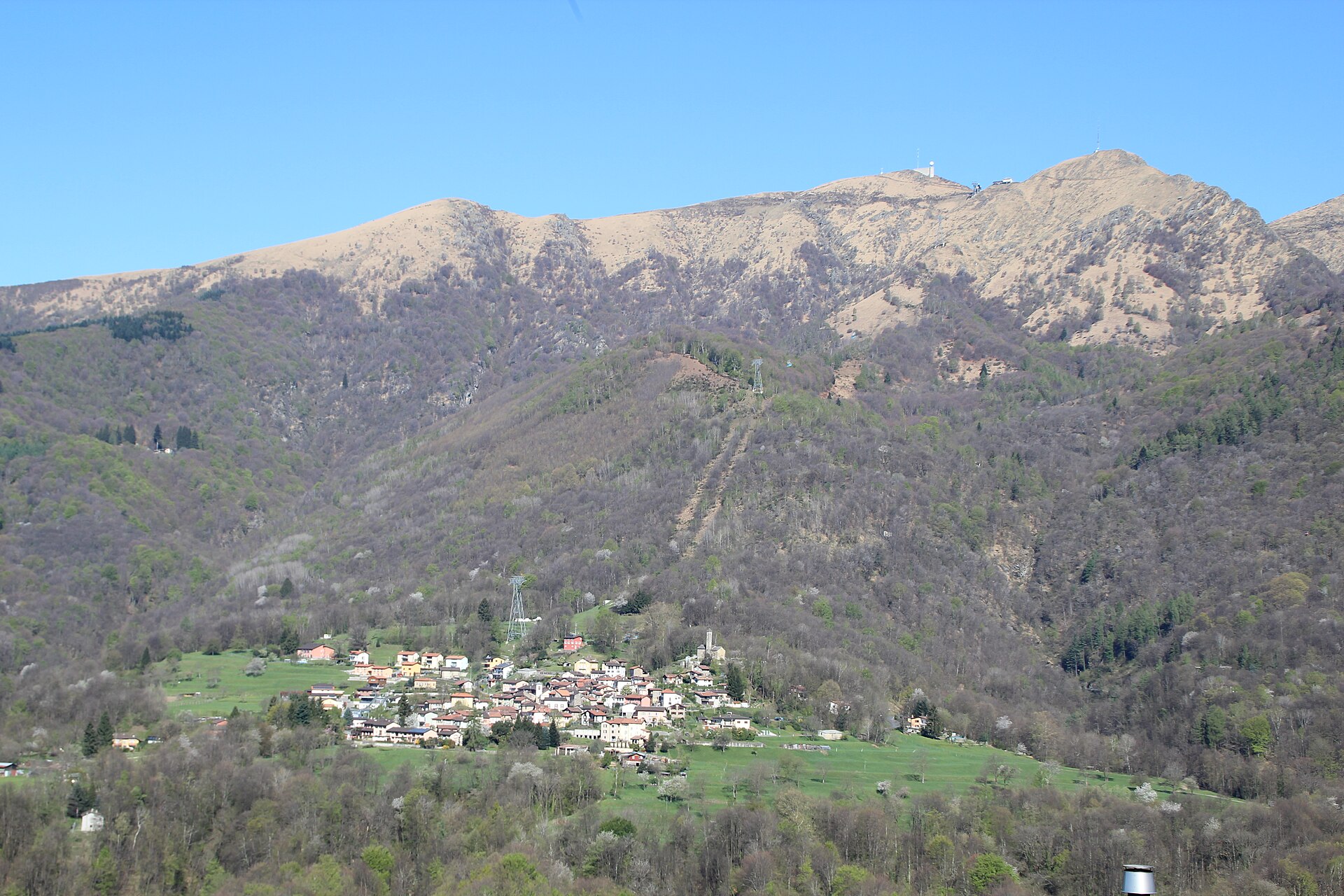
A summit in Malcantone with a view of two lakes and the Monte Rosa range.
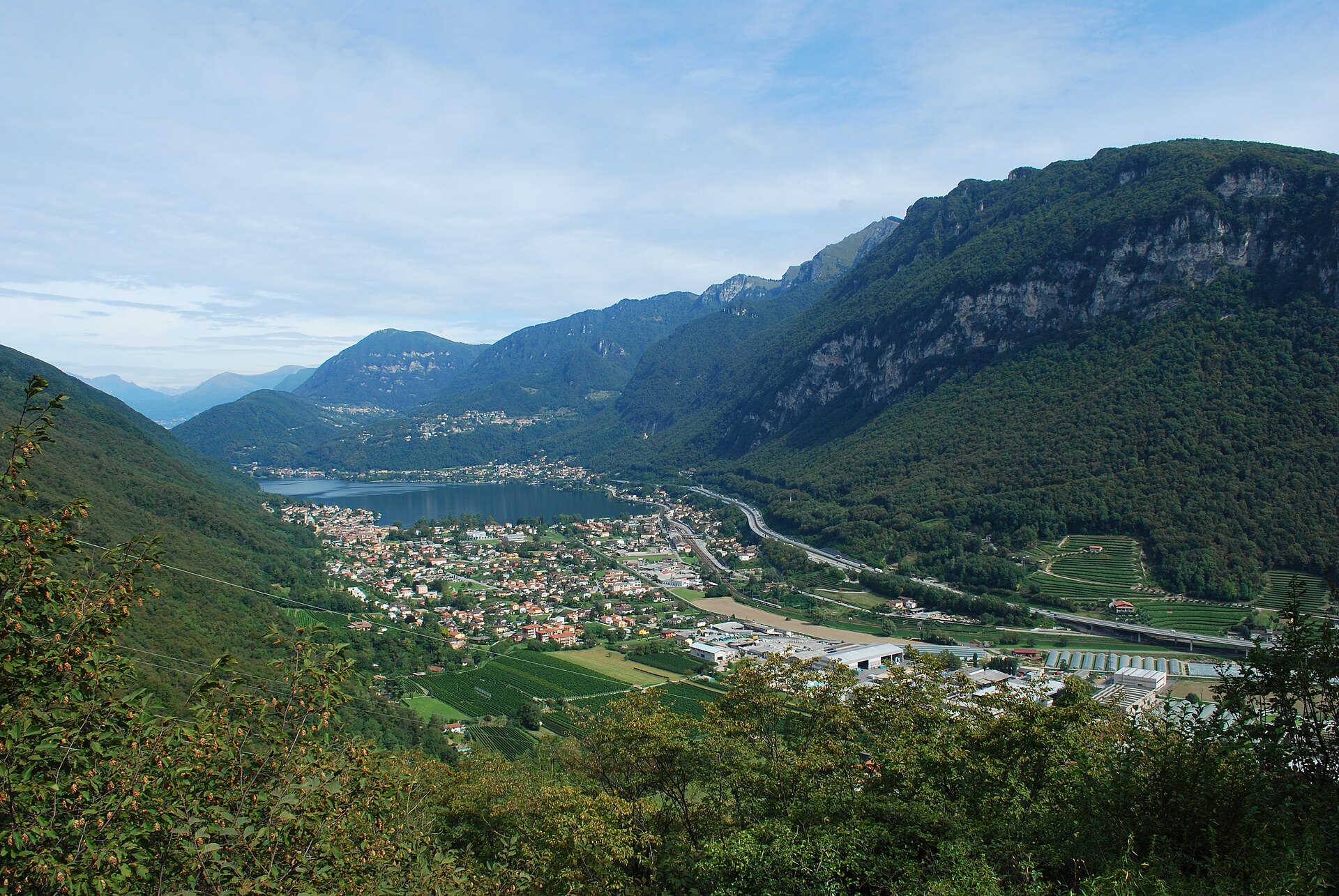
A forested peak above Lake Lugano with some of the world's best Triassic fossils.
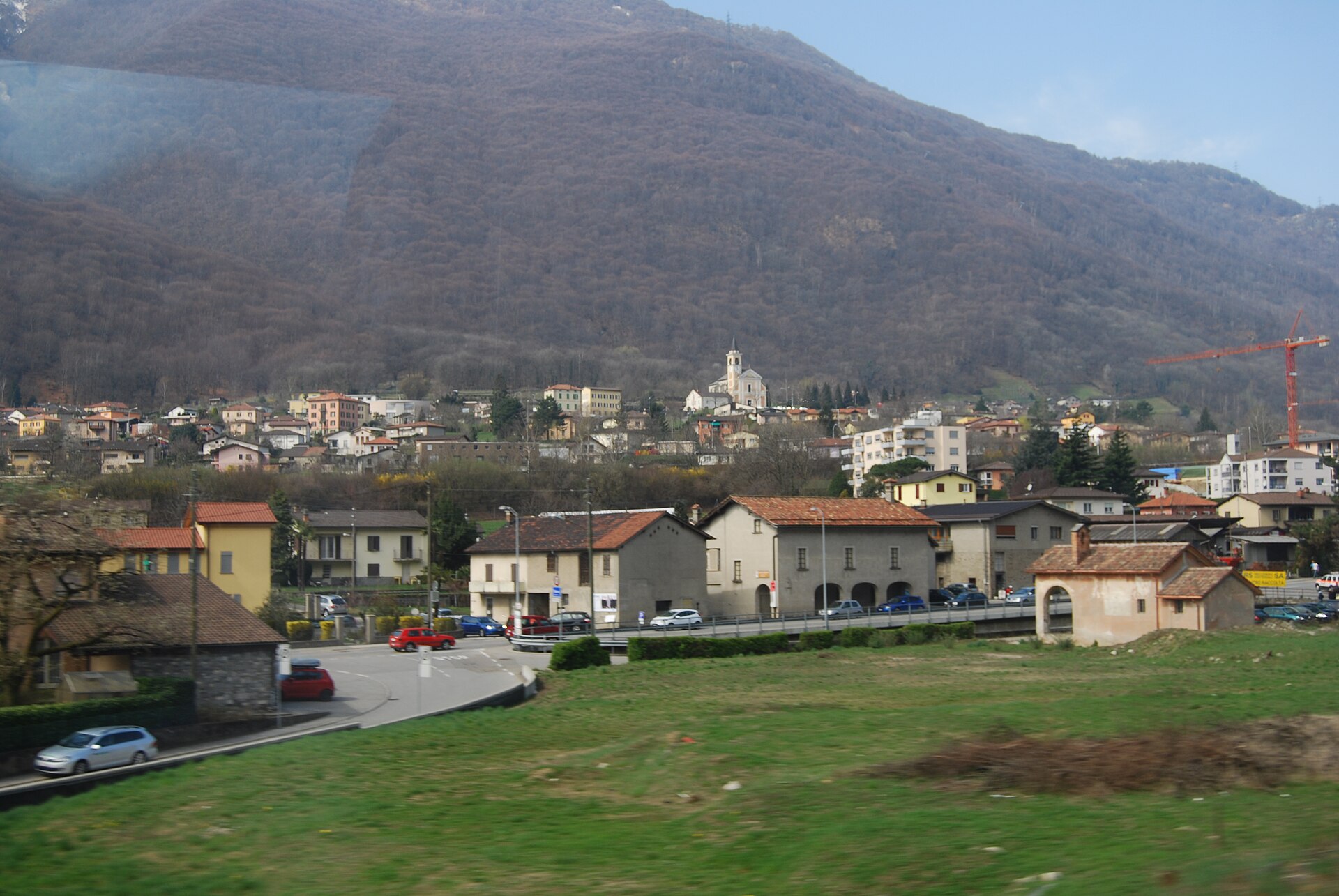
A steady ridge climb from Alpe Foppa past Mario Botta's bridge-like chapel, with Lake Maggiore and Lake Lugano on either side.
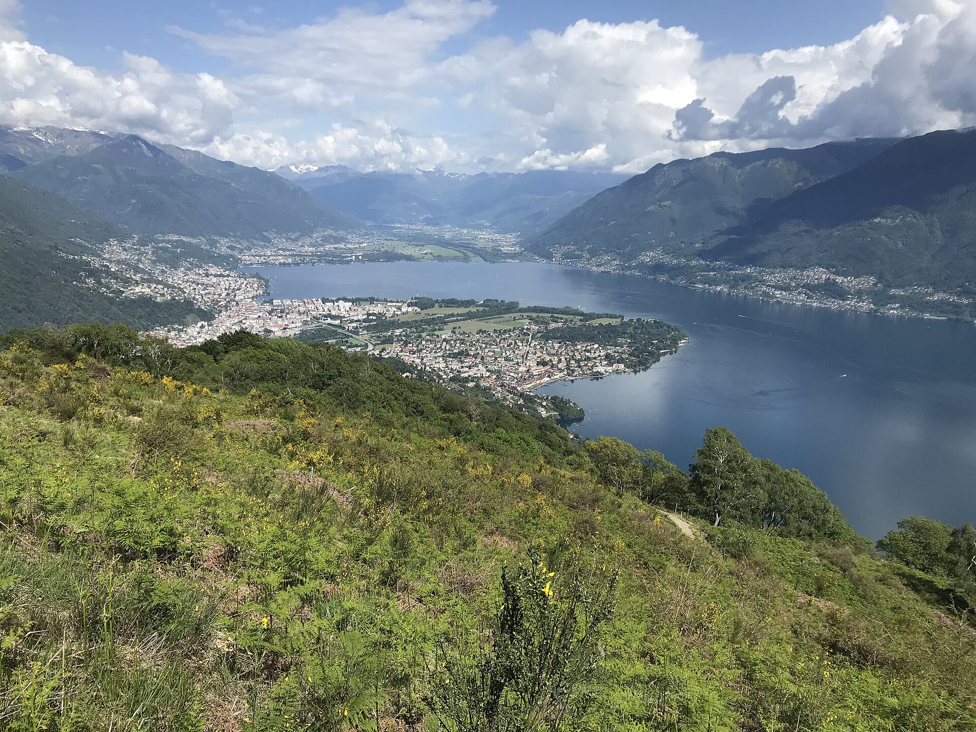
A hill of early 20th-century utopians, and a lake promenade with palm trees.
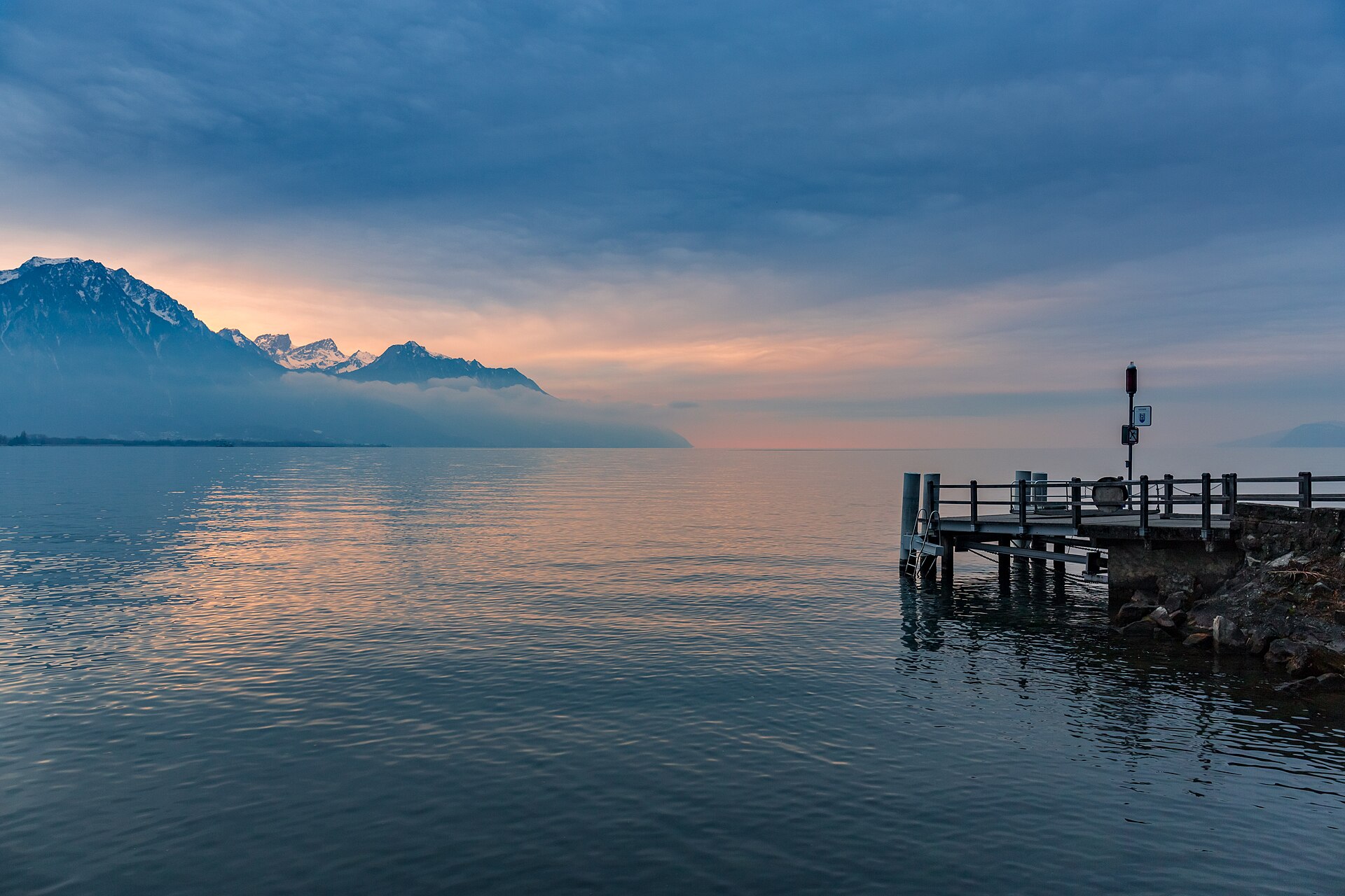
A flat, all-season promenade along the Montreux Riviera, past the Freddie Mercury statue to Chillon Castle on its lake rock.
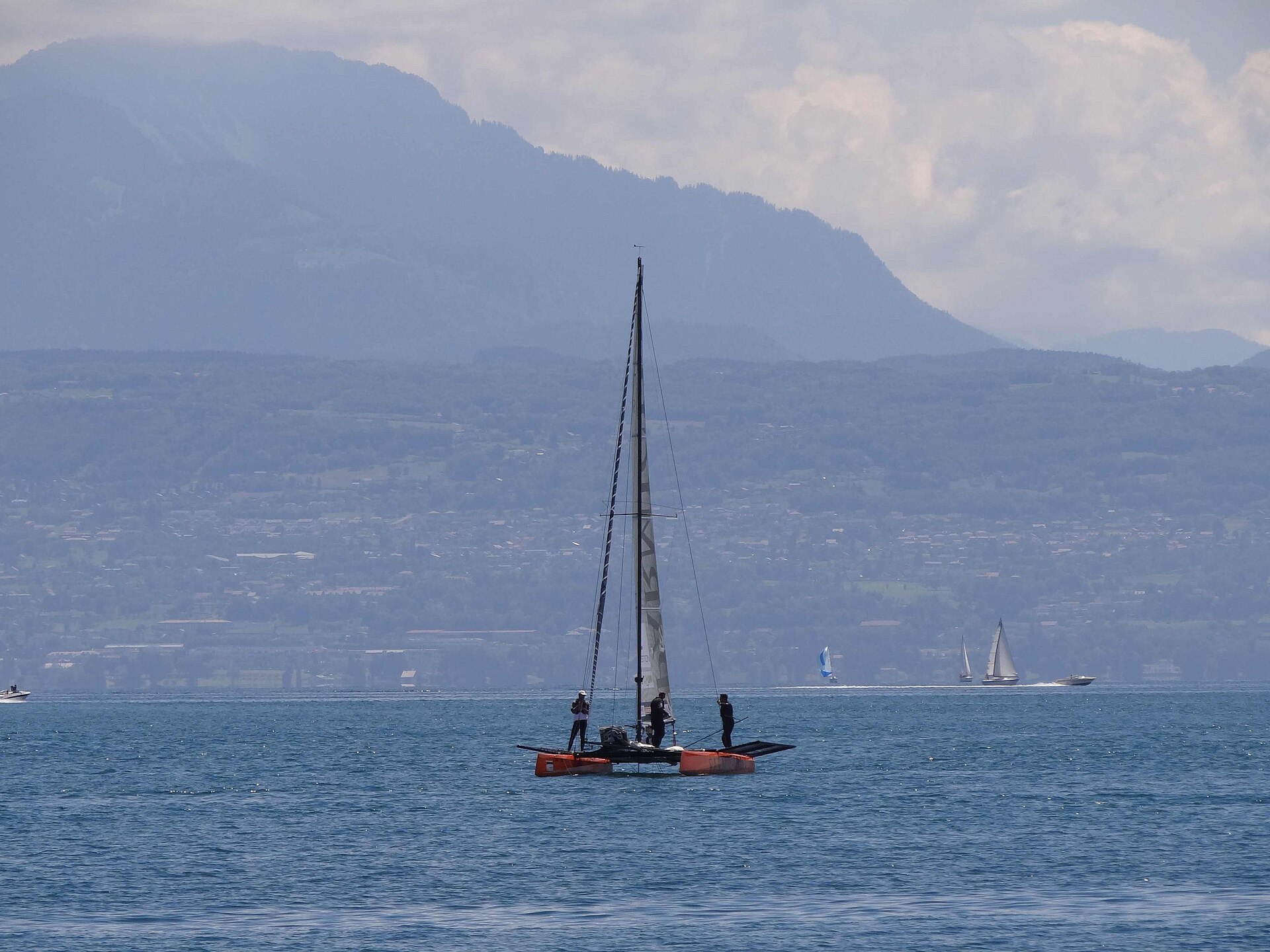
A lakeside walk between a castle town and a medieval harbour village.
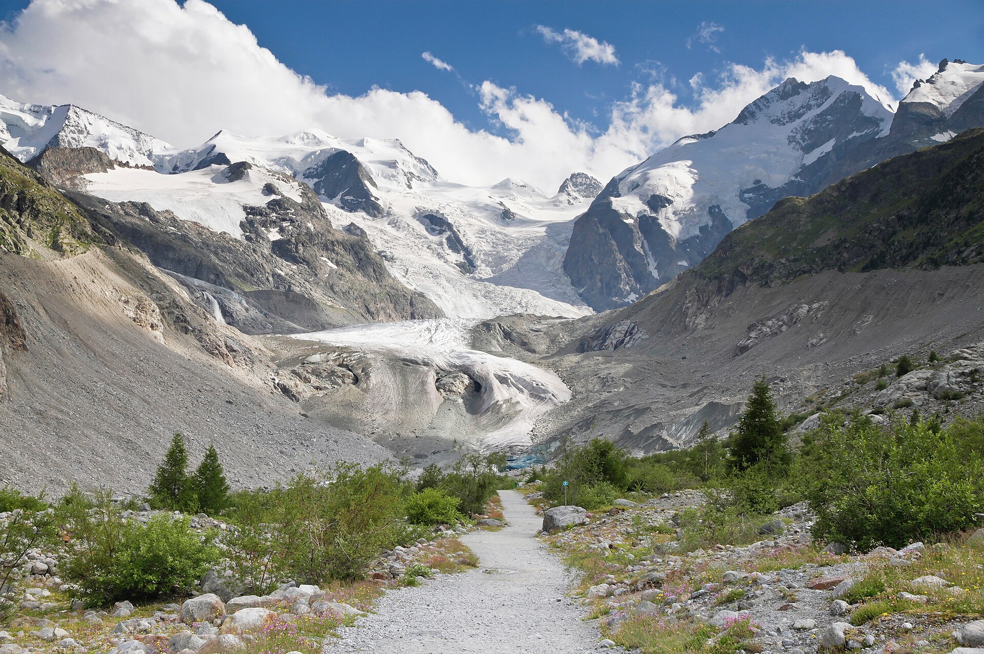
An easy 6 km return trail past year markers tracing 160 years of glacier retreat in the Bernina massif.
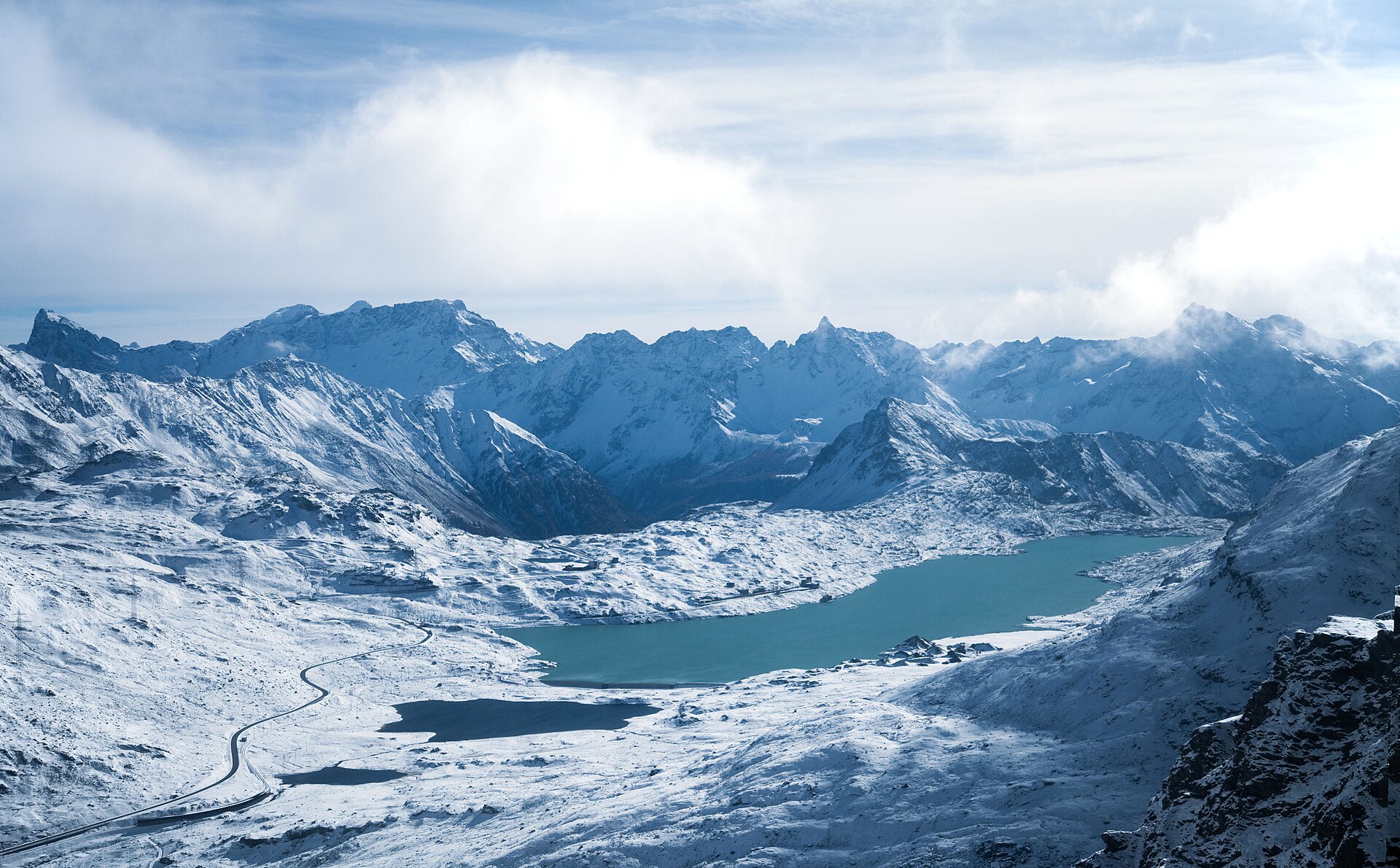
A short but exposed T3 climb from the Diavolezza station to a 3,200 m summit facing the Piz Palü and the Morteratsch glaciers.
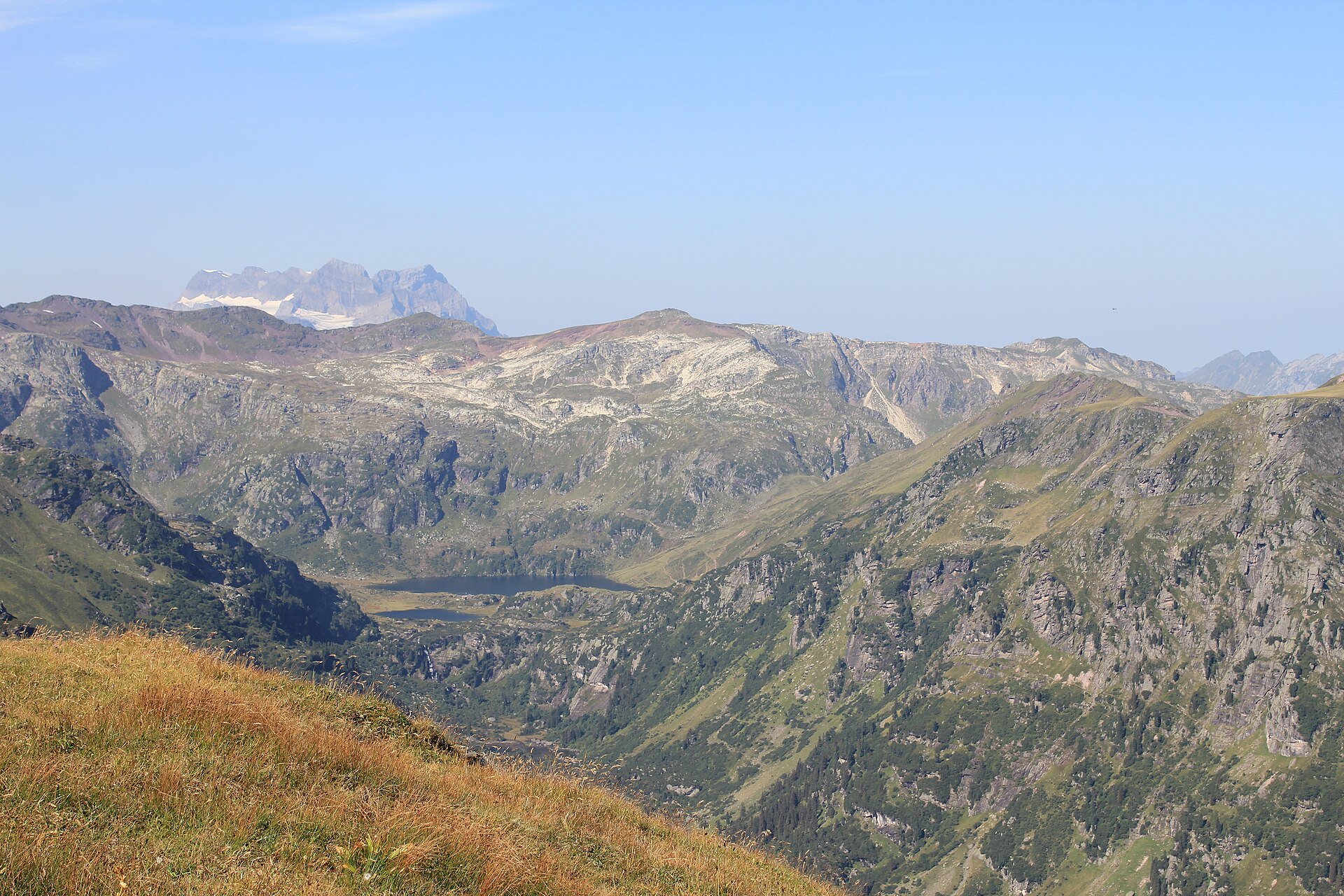
Three high lakes in a rocky bowl, reached from the shore of the Walensee.
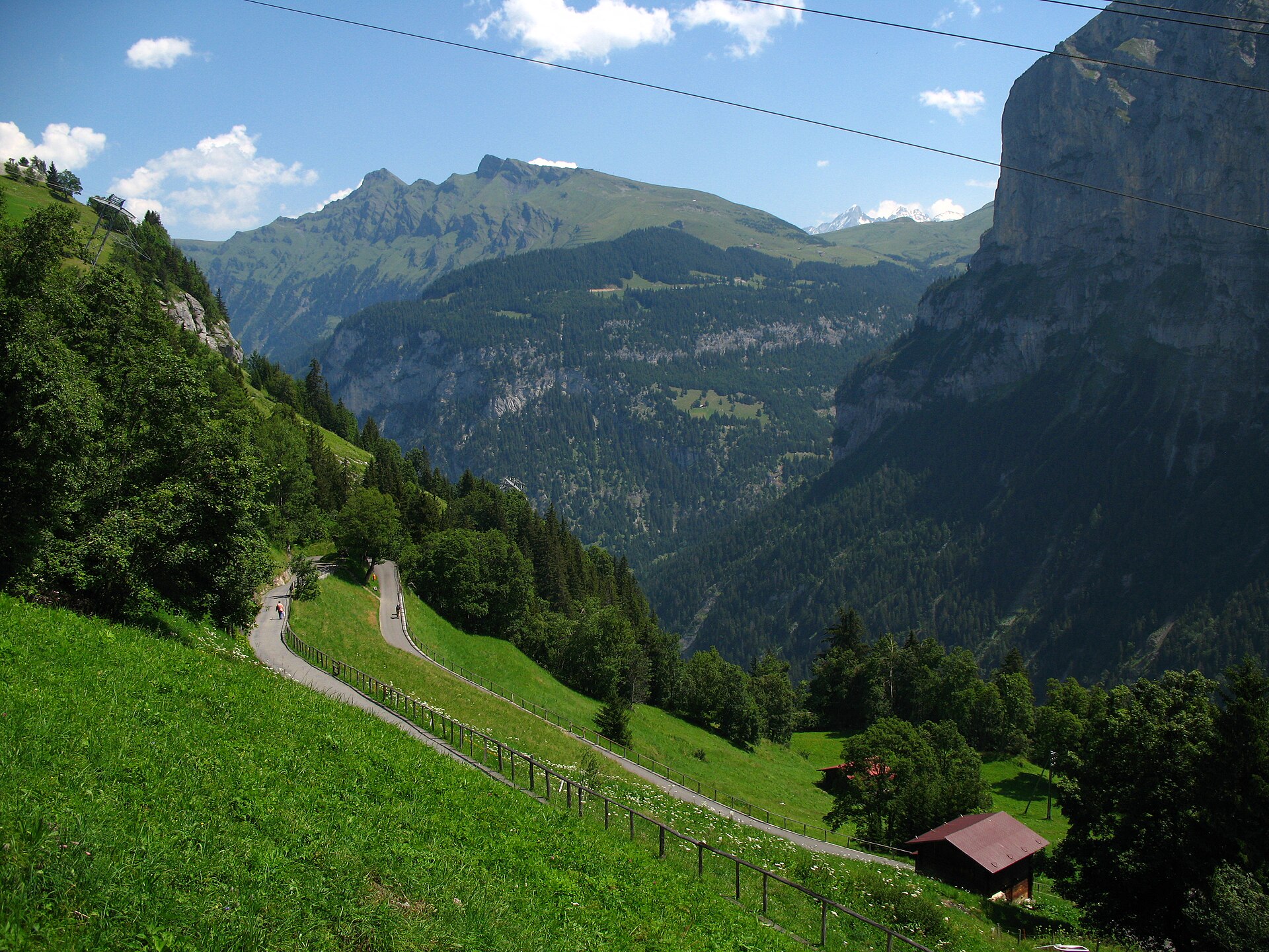
Two car-free villages on a ledge, with the Eiger, Mönch and Jungfrau across the valley.
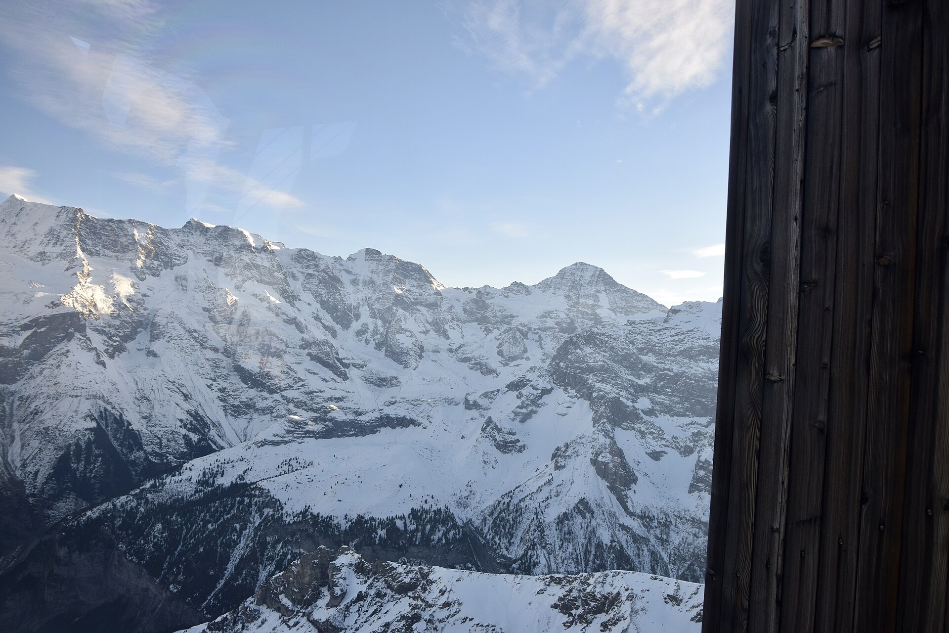
A legendary and dramatic high-alpine ridge hike leading from the car-free village of Mürren up to the iconic Piz Gloria summit of Schilthorn (2,970 m)—world-famous as a James Bond filming location (*On Her Majesty's Secret Service*). The trail winds past alpine pastures, rocky moraines, and exposed ridge crests, offering staggering panoramic views of the Eiger, Mönch, Jungfrau, and over 200 surrounding peaks.
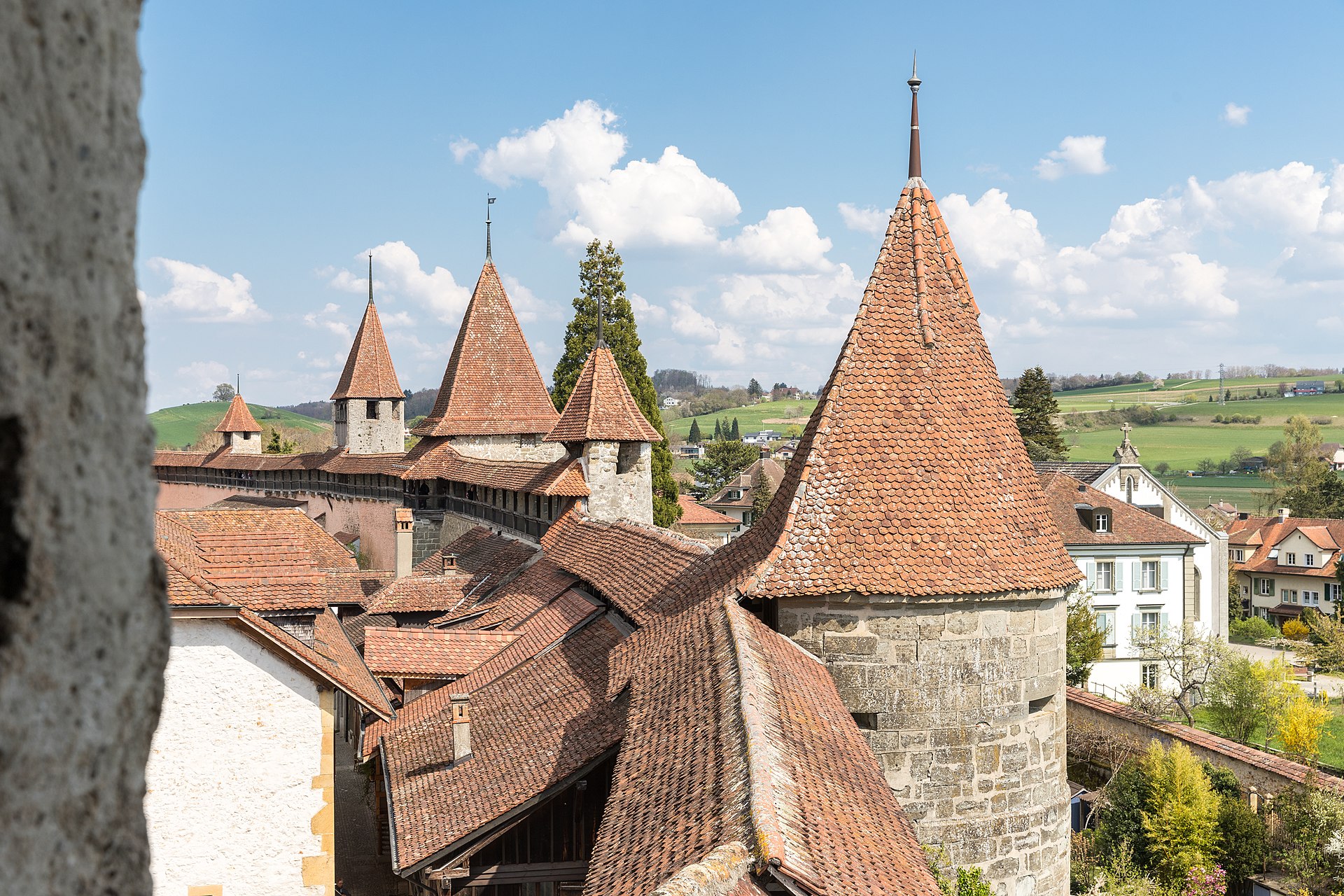
A flat shore path along Lake Murten, with Roman Avenches nearby.
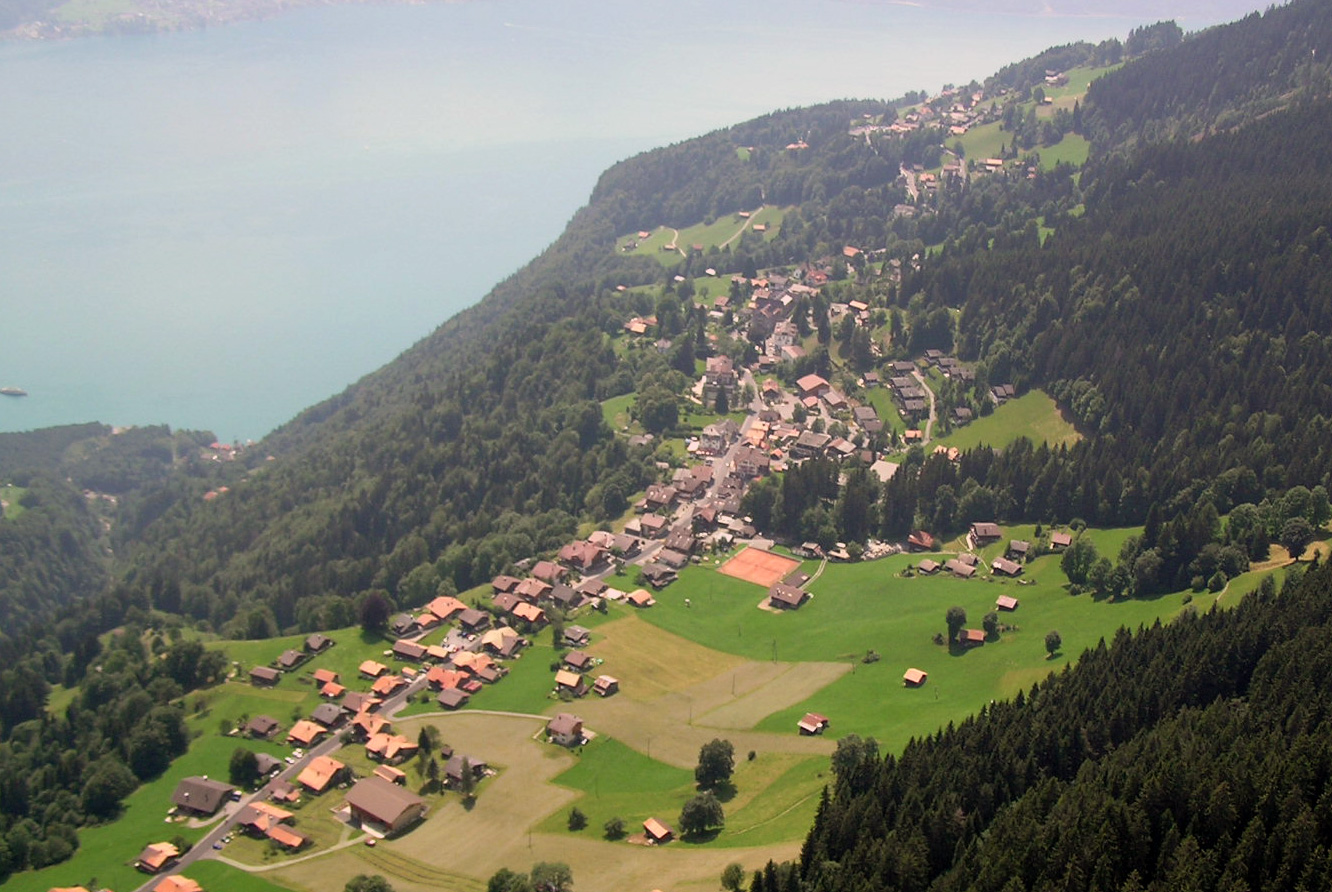
A ridge above Lake Thun with ibex, and the Jungfrau across the valley.
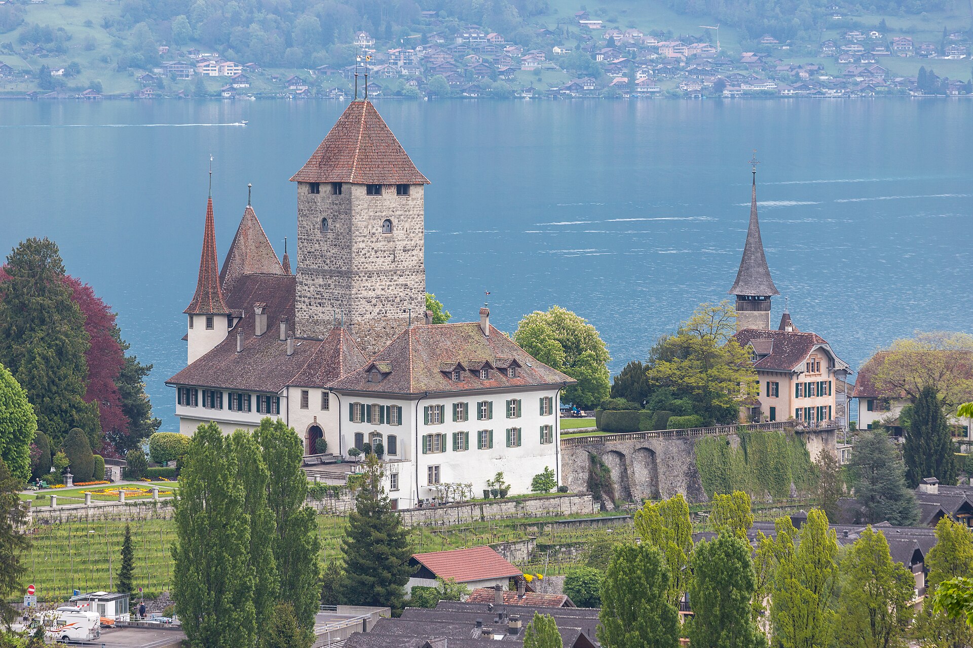
A legendary and visually striking hike up the "Swiss Pyramid"—the distinct triangular peak of Niesen (2,362 m) rising steeply above Lake Thun. Famous for running alongside the world's longest continuous stairway (consisting of 11,674 steps used in the annual Niesen Run), the trail offers dizzying, bird's-eye panoramic views over Lake Thun, Lake Brienz, and the snow-capped peaks of the Bernese Oberland.
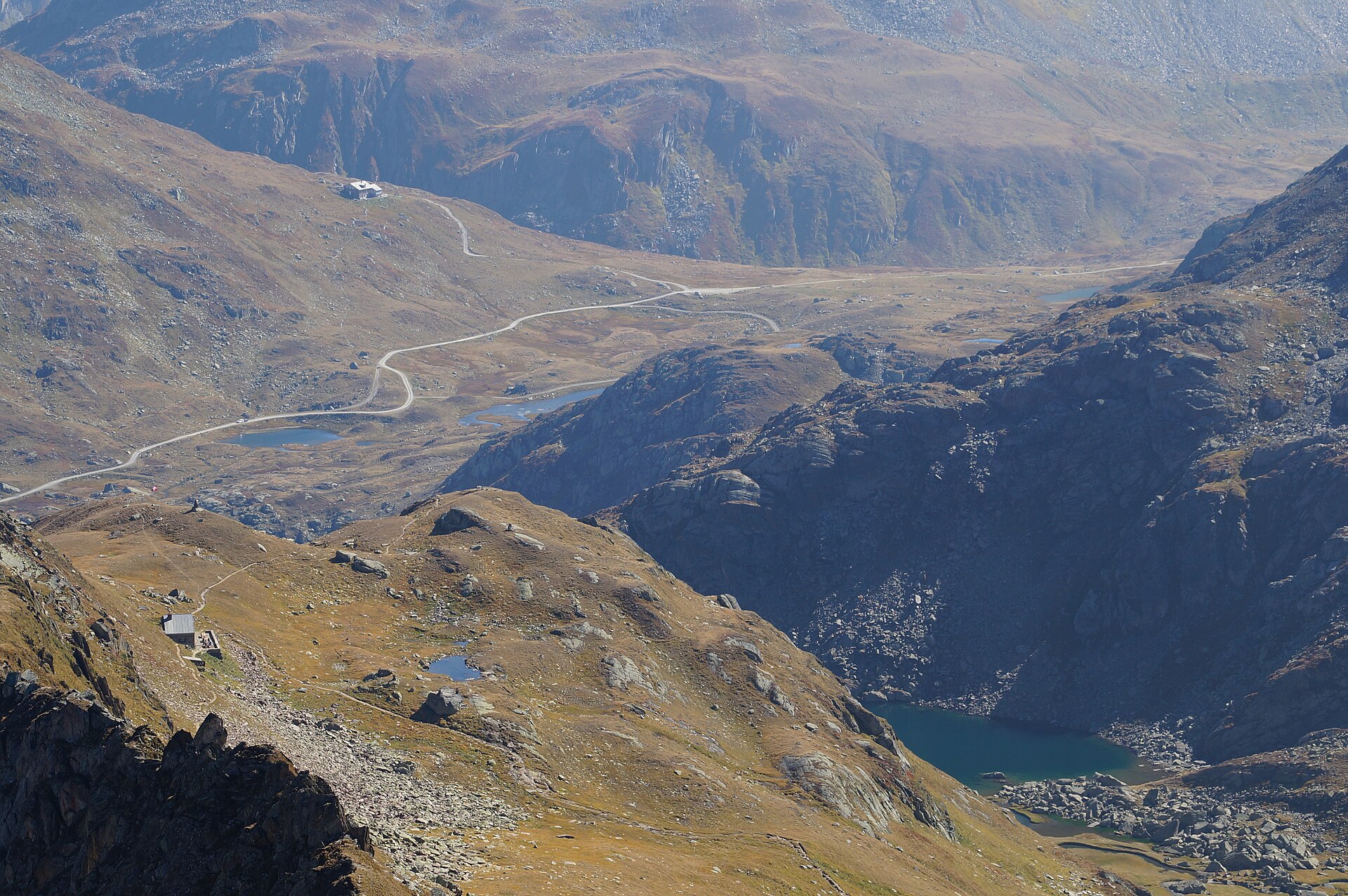
A legendary high-alpine hike leading to Tomasee (Lai da Tuma)—the official geographic source of the mighty Rhine River. Starting from the scenic Oberalp Pass (2,044 m) on the linguistic border between Uri and Grisons, the trail winds across high-alpine pastures and boulder fields up to a crystal-clear, deep blue tarn nestled beneath Piz Badus, where water begins its 1,230-kilometer journey to the North Sea.
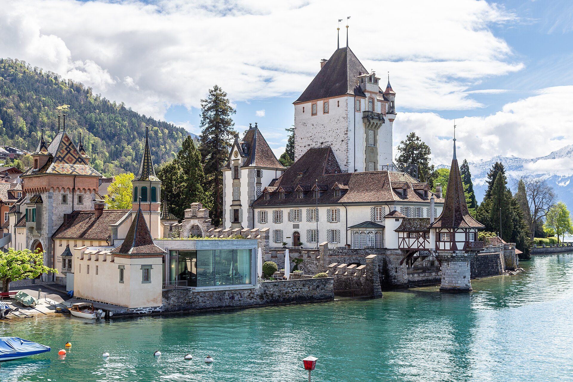
A castle in the water, with a lake path from the Thun waterfront.
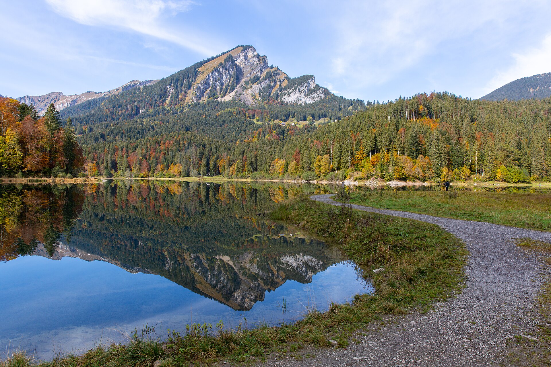
A small lake under the Mürtschen peaks, with a flat loop and a Baroque palace nearby.
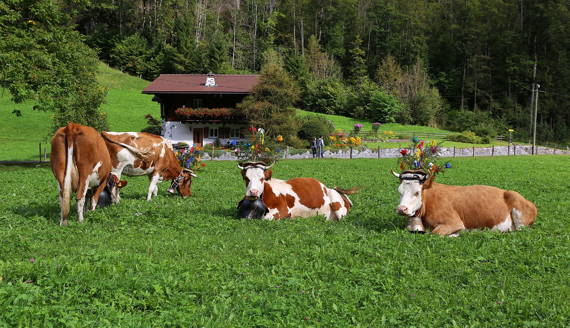
An old mountain hotel lit by oil lamps, reached only on foot.
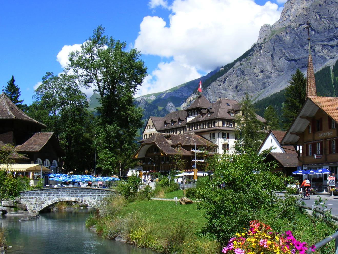
A full circuit of turquoise Oeschinensee under the Blüemlisalp wall, with cliff waterfalls and farm huts serving Rösti.
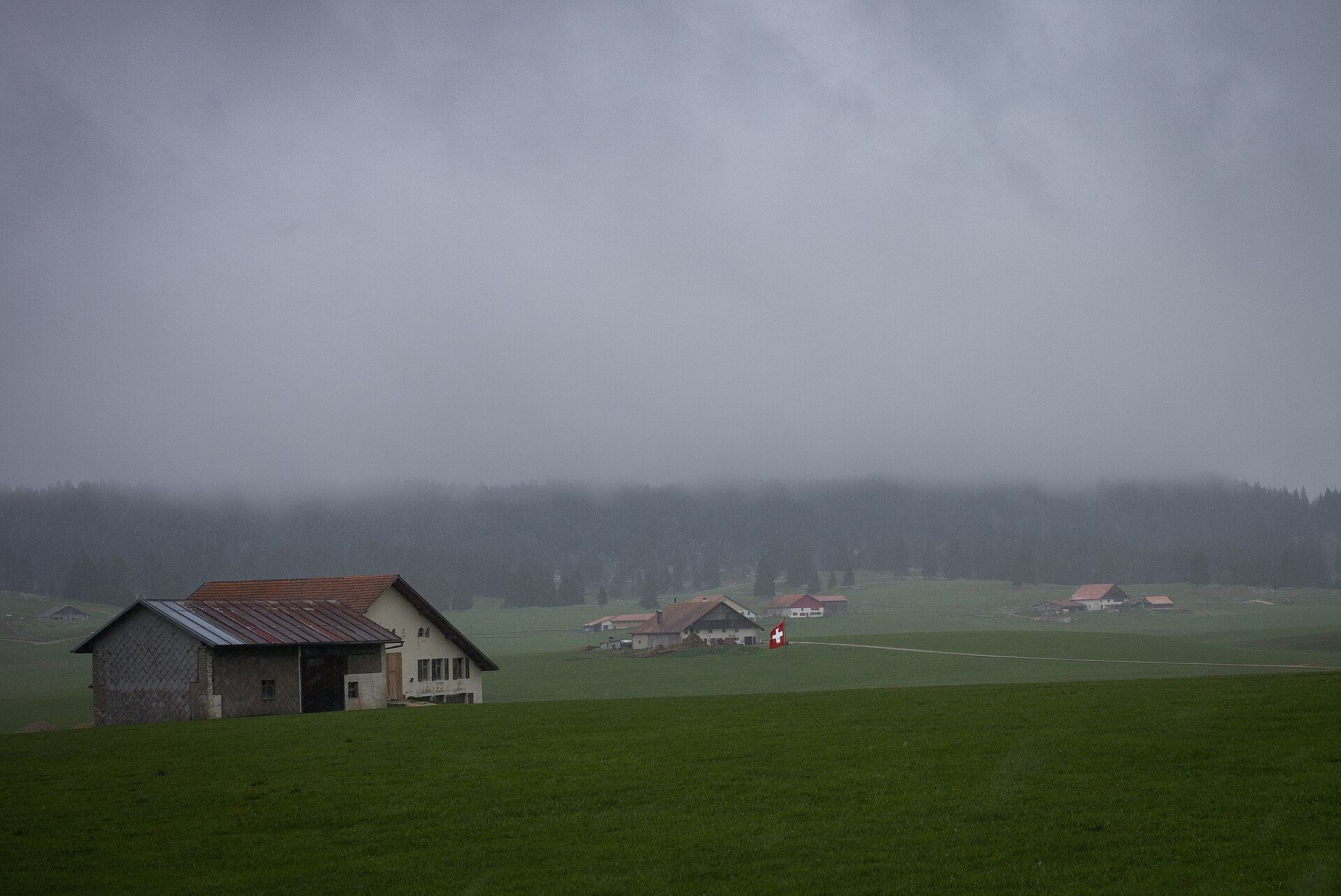
A boardwalk through one of the largest peat bogs in Switzerland.
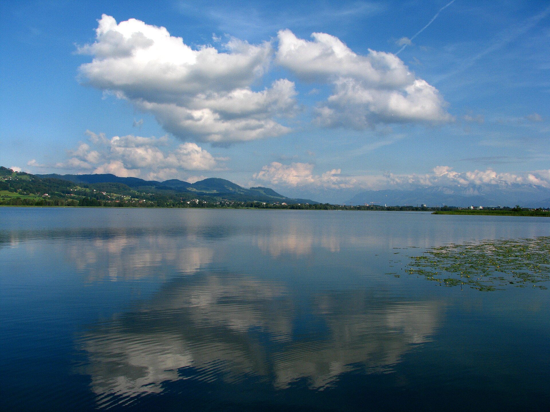
A calm lake in the Zurich Oberland, with Roman and prehistoric traces on its shore.
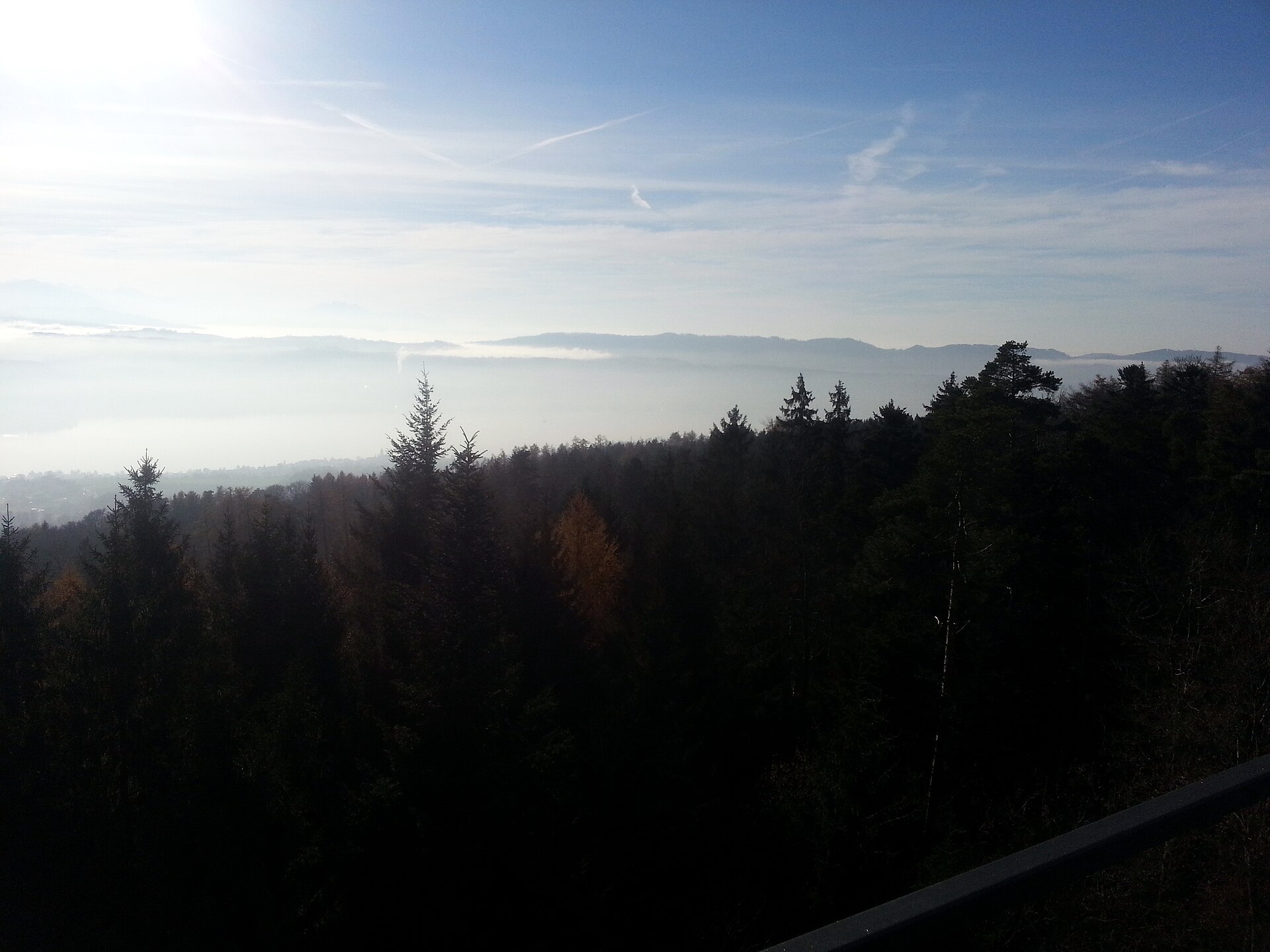
A ridge above Lake Zurich with the Alps on the horizon and a train home.
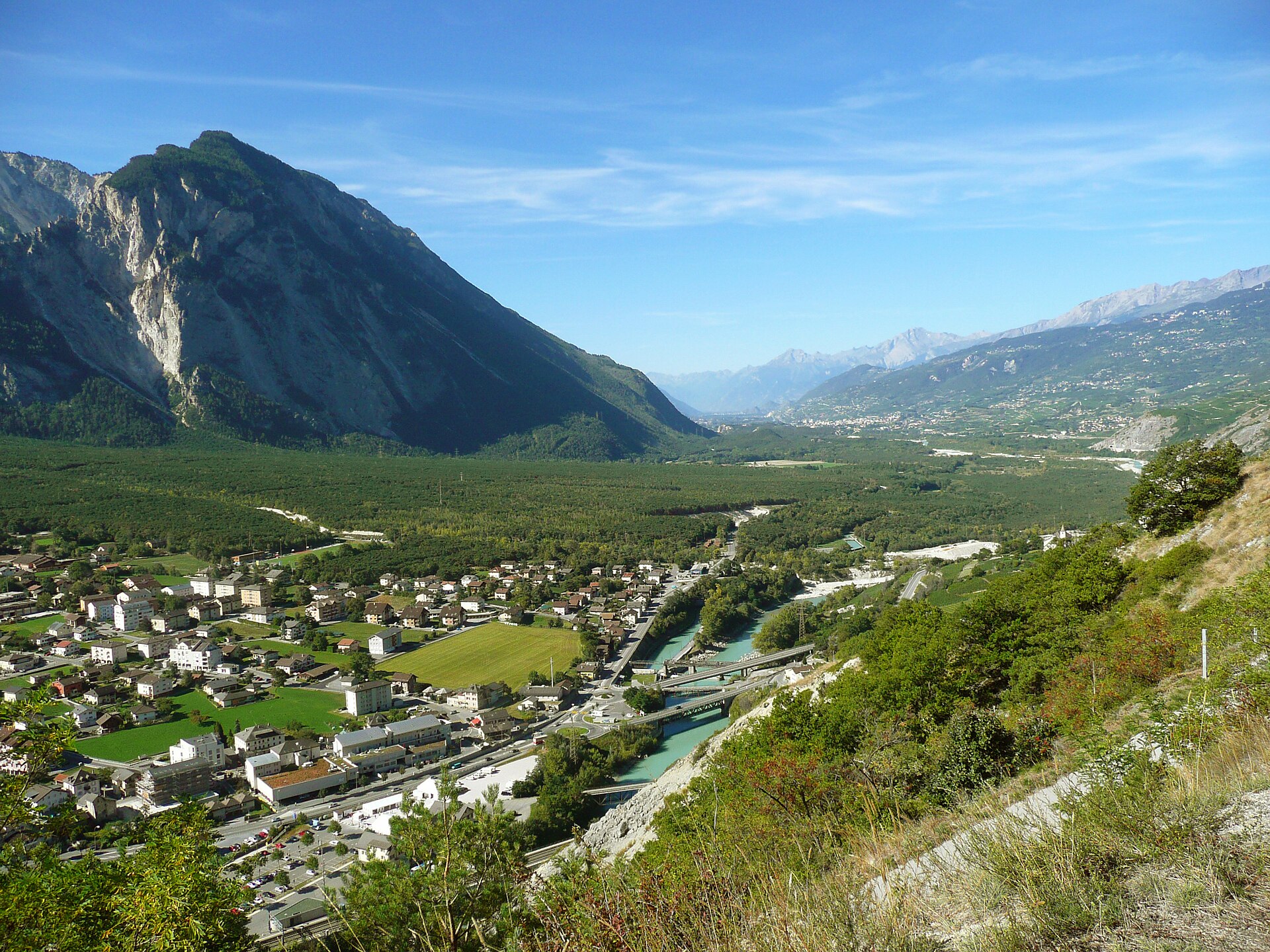
Explore Europe's largest Scots pine forest and cross a thrilling suspension bridge over the wild Rhone.
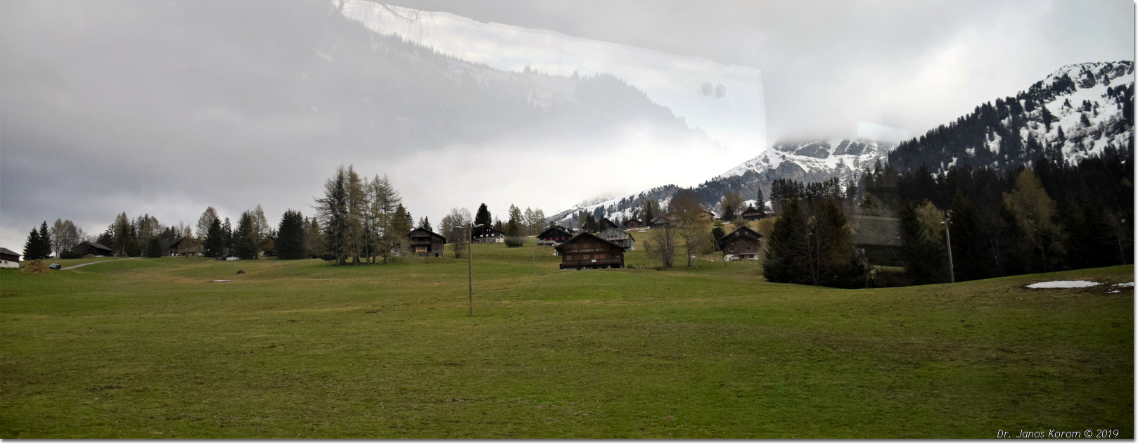
Ascend to a 3,60-degree Vaudois Alps viewpoint overlooking alpine lakes and Lake Geneva.
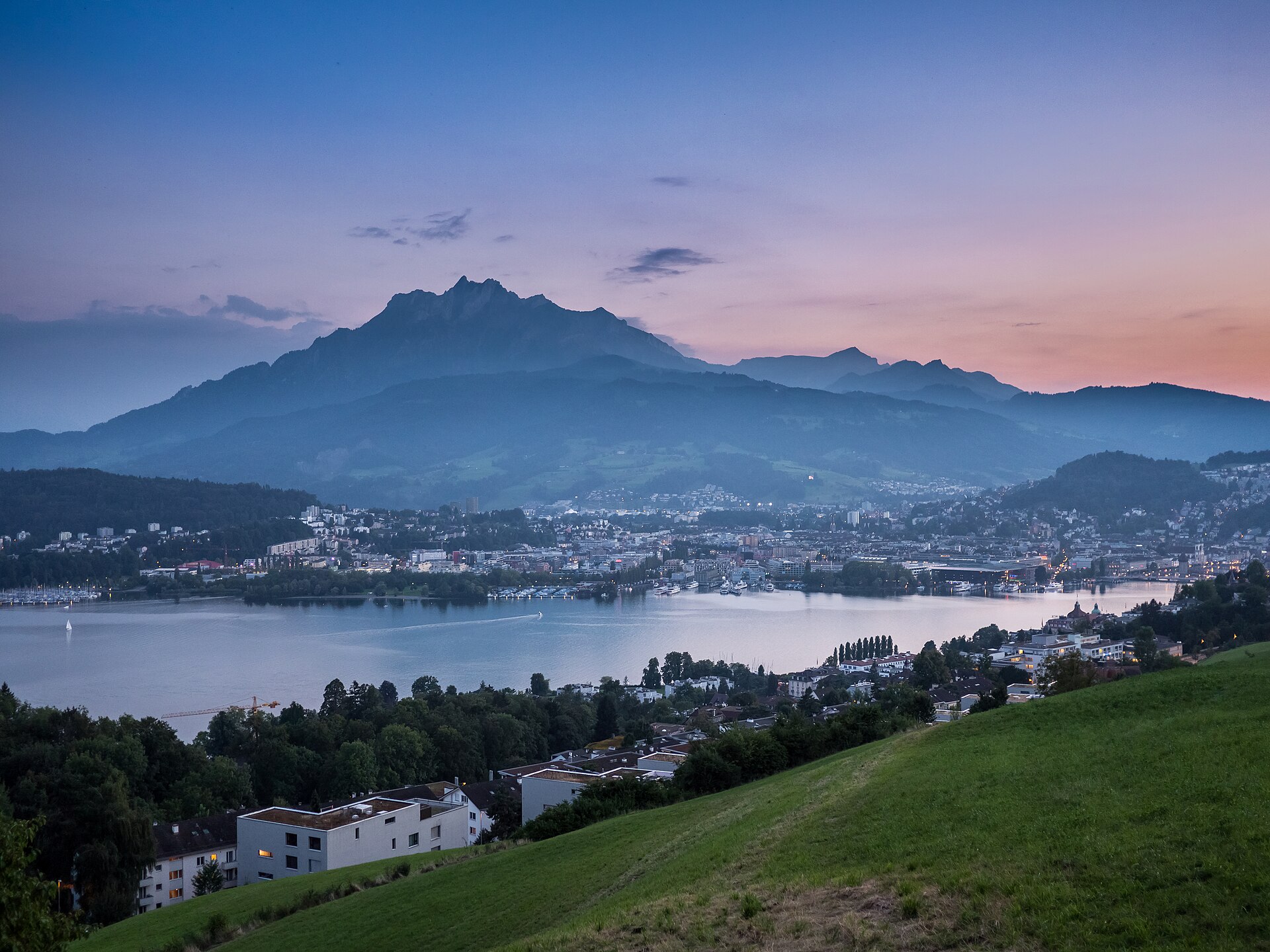
A short cliff-edge loop on the summit of Pilatus, the legendary dragon mountain reached by the world's steepest cogwheel railway.
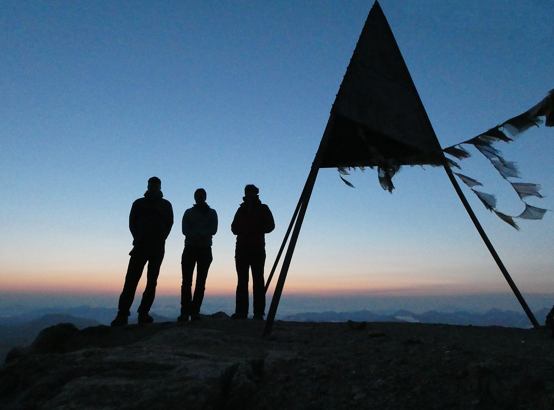
A demanding 940 m climb from Alp Languard to a 3,262 m Engadin three-thousander facing the whole Bernina range.
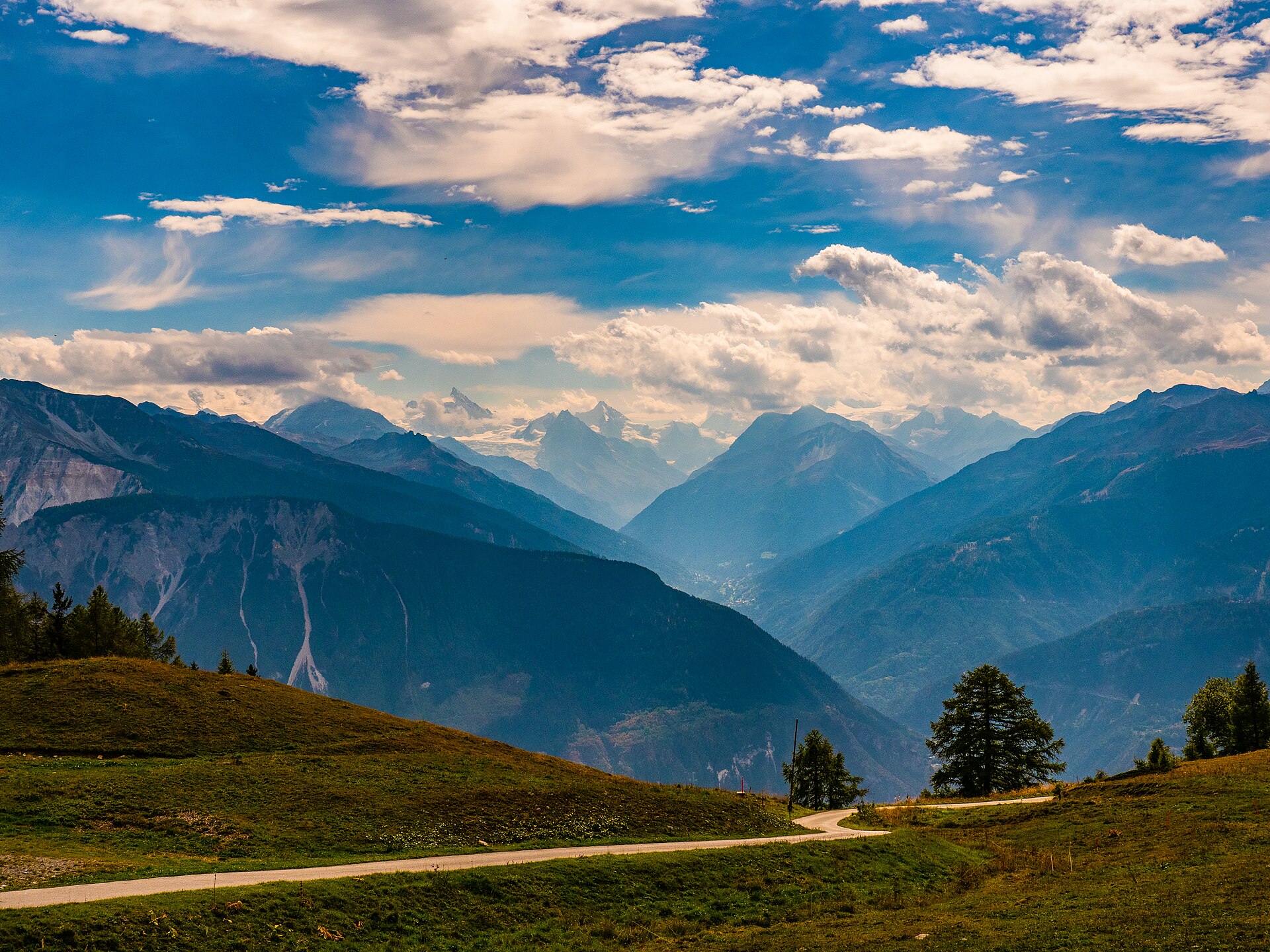
A cable car to a flat glacier at nearly 3,000 metres, with a short walk along its edge.
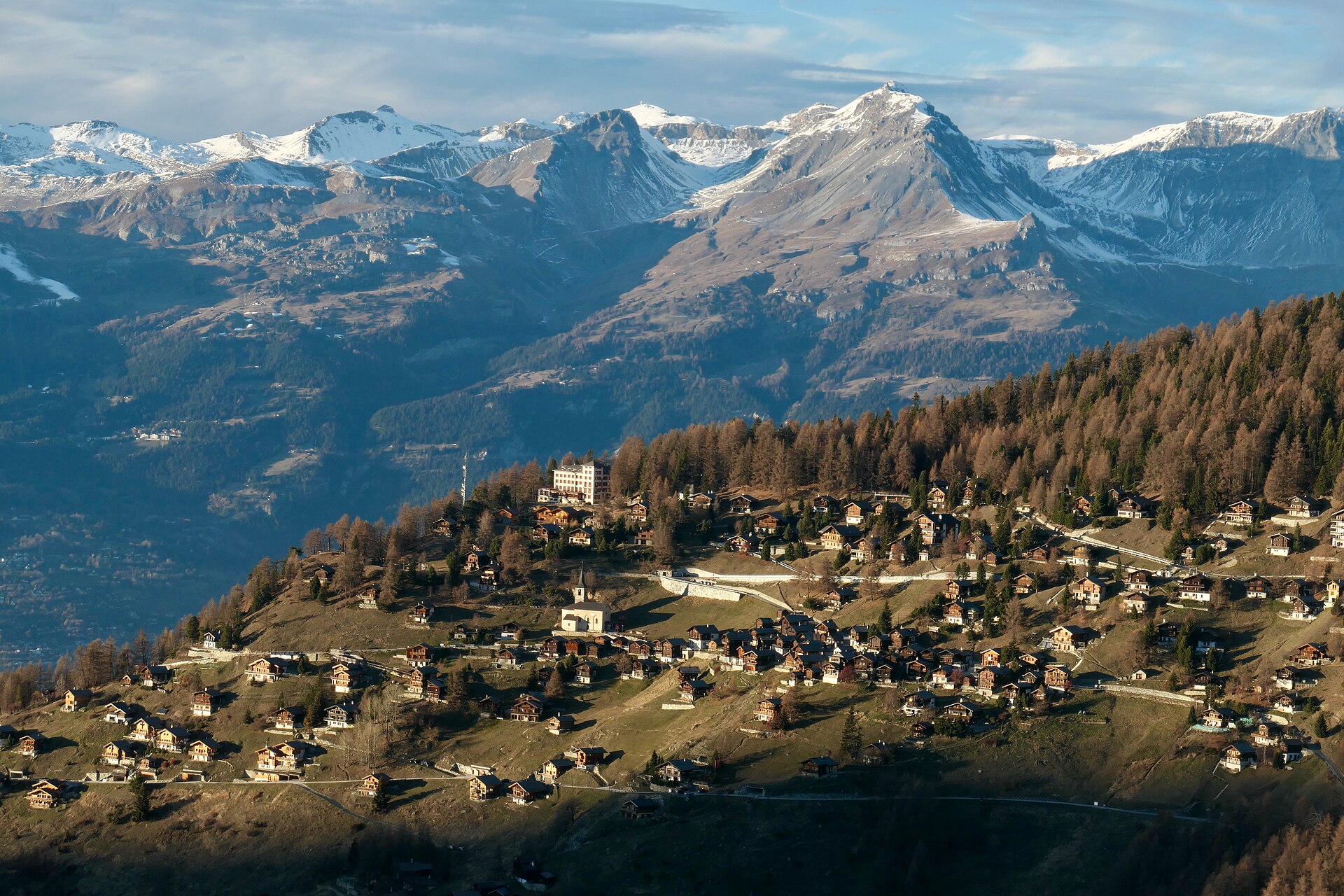
A walk through a scale model of the solar system, between two of the sunniest villages in the Alps.
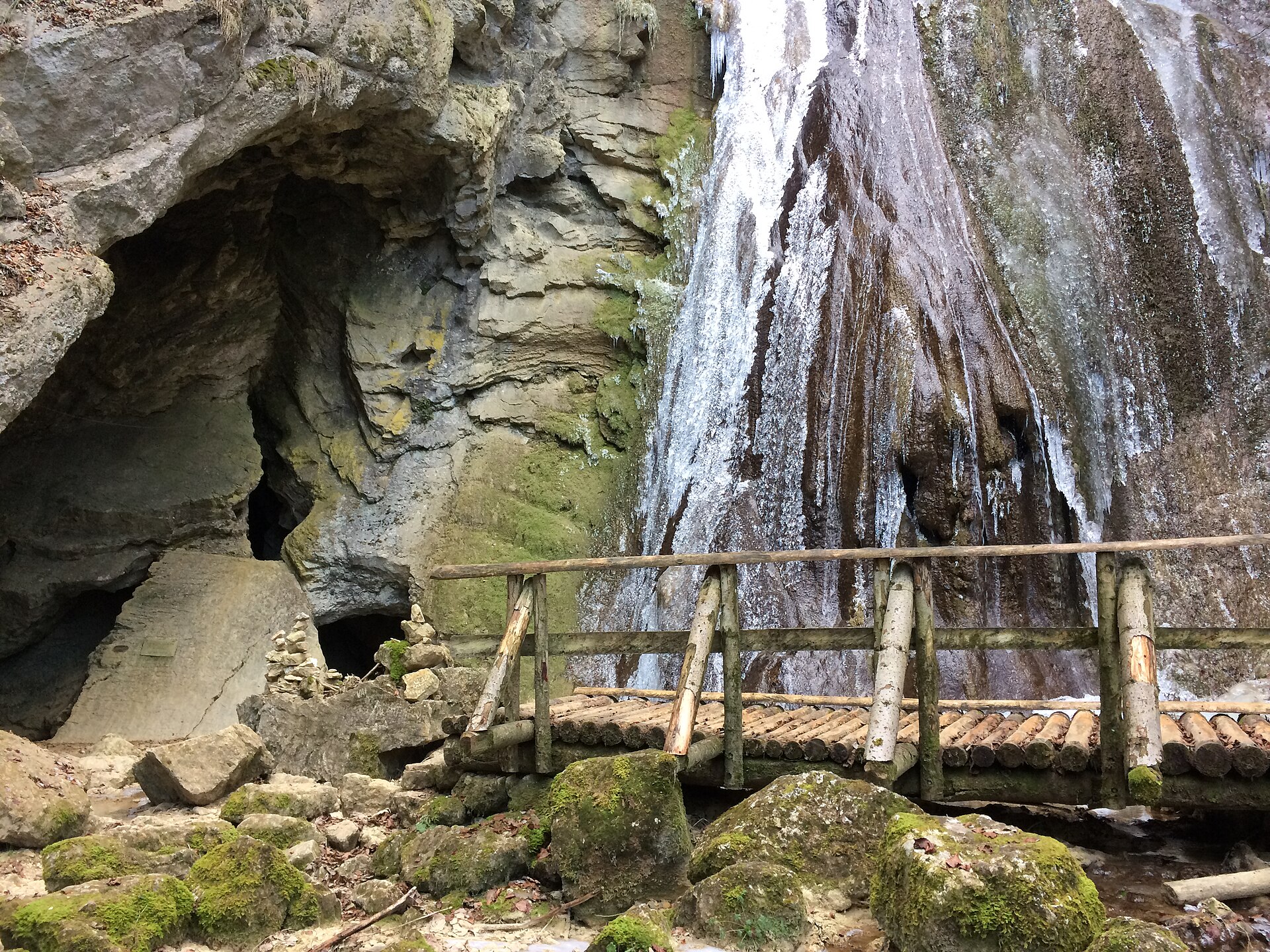
A waterfall gorge in the valley of absinthe, with a mill and a source.
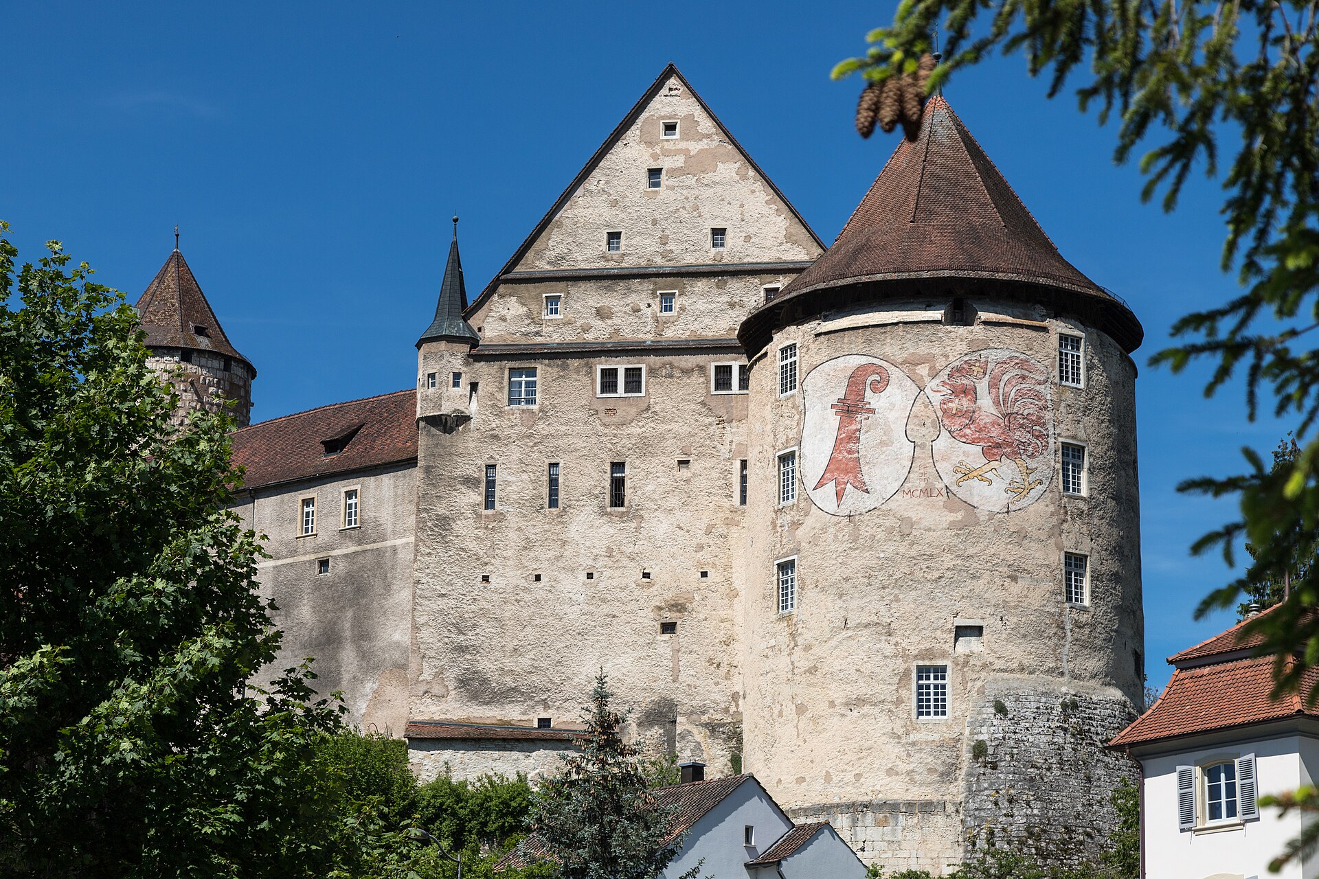
A Baroque town with a castle on a hill, in the far northwest of Switzerland.
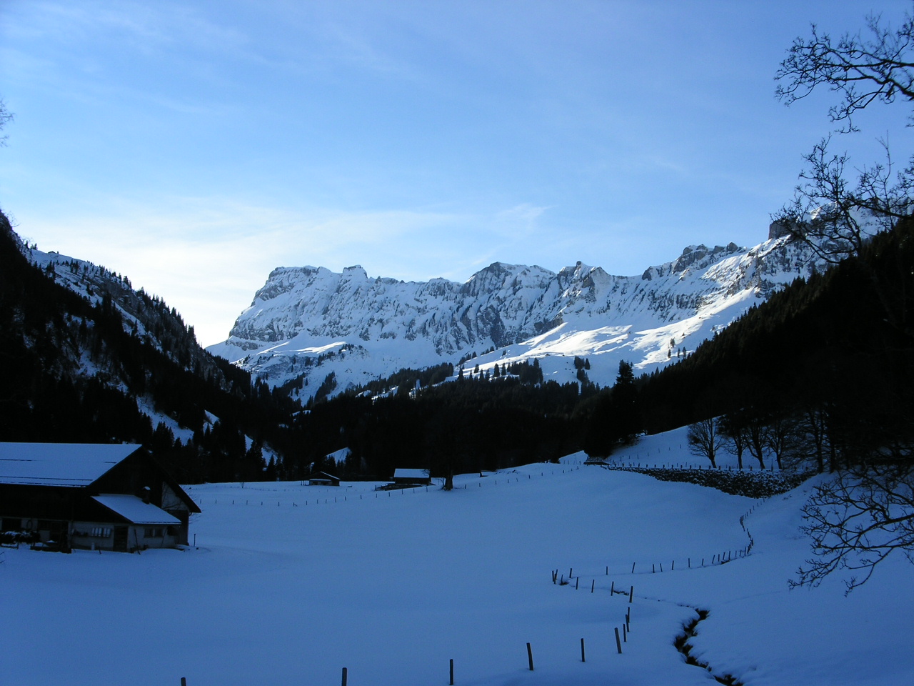
A wild high pass between two cantons, through a protected landscape.
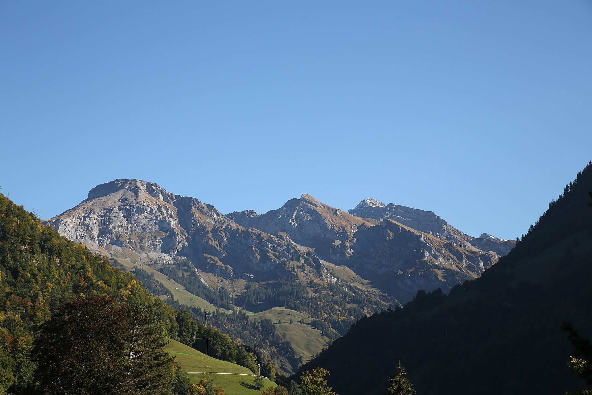
A quiet pilgrim walk from Sachseln to the Ranft gorge chapels, where Brother Klaus, patron saint of Switzerland, lived as a hermit.
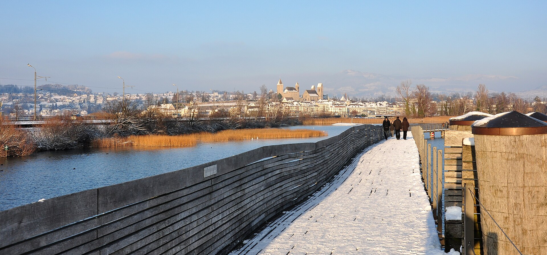
A wooden footbridge across Lake Zurich, with a rose town at one end.
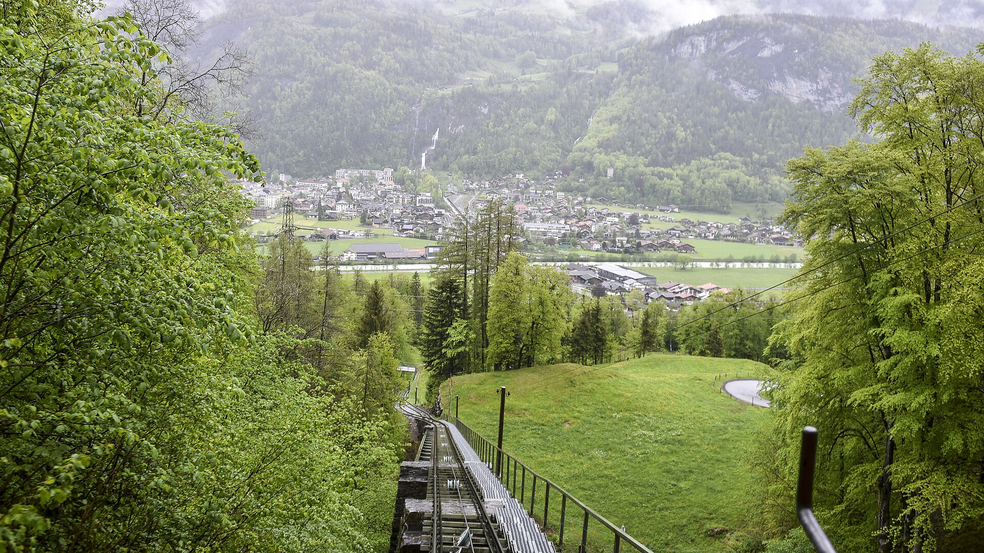
The falls where Sherlock Holmes met his end, and a glacier gorge nearby.
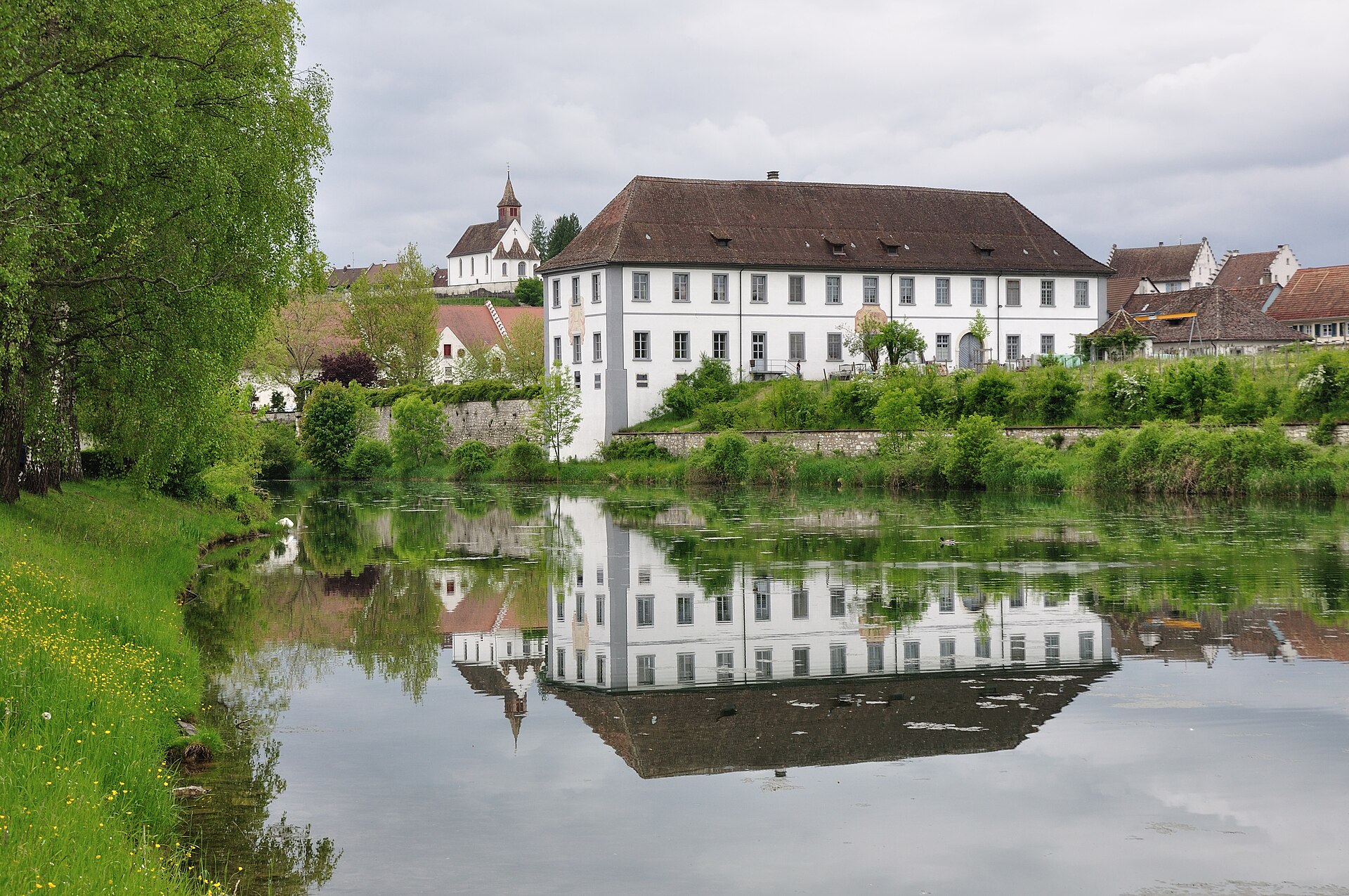
A Baroque monastery on an island in the Rhine, with a loop through forest.
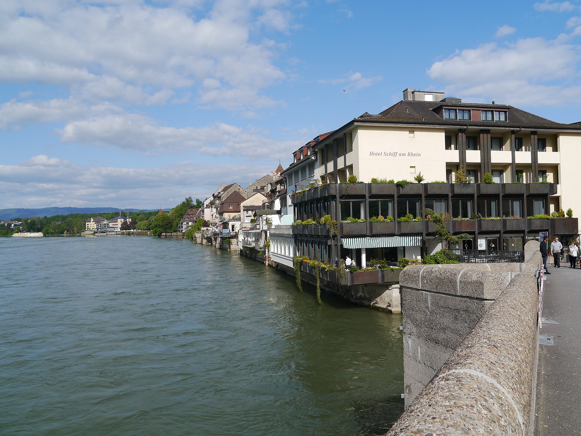
A spa town on the Rhine, with a medieval centre and a river path.
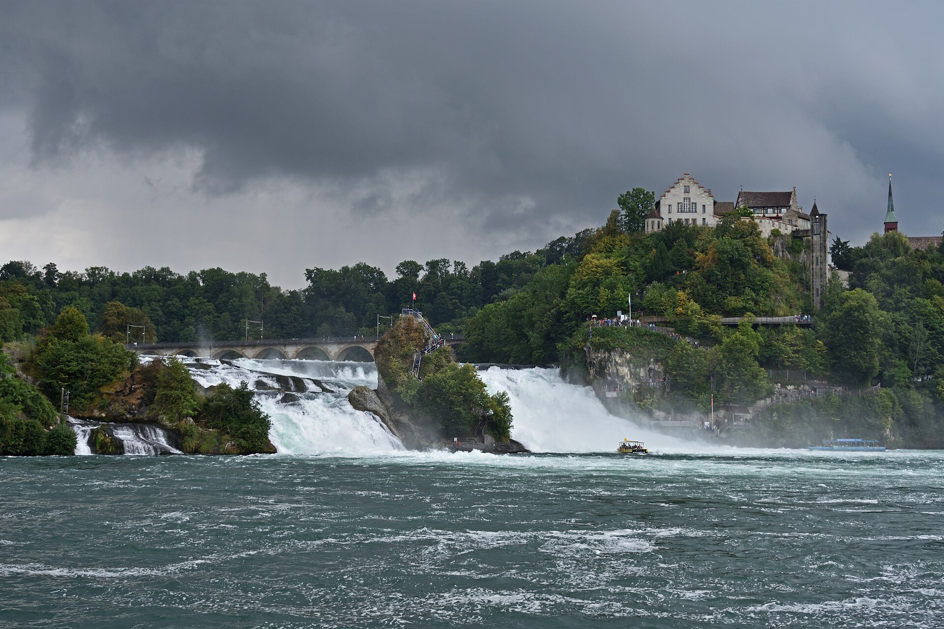
Europe's largest waterfall by volume, reached on a flat riverside path.
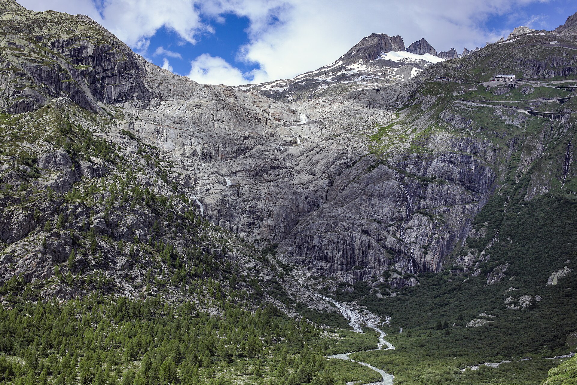
An easy descent beside the source glacier of the Rhône from the Furka pass to Gletsch, past the ice grotto cut each summer.
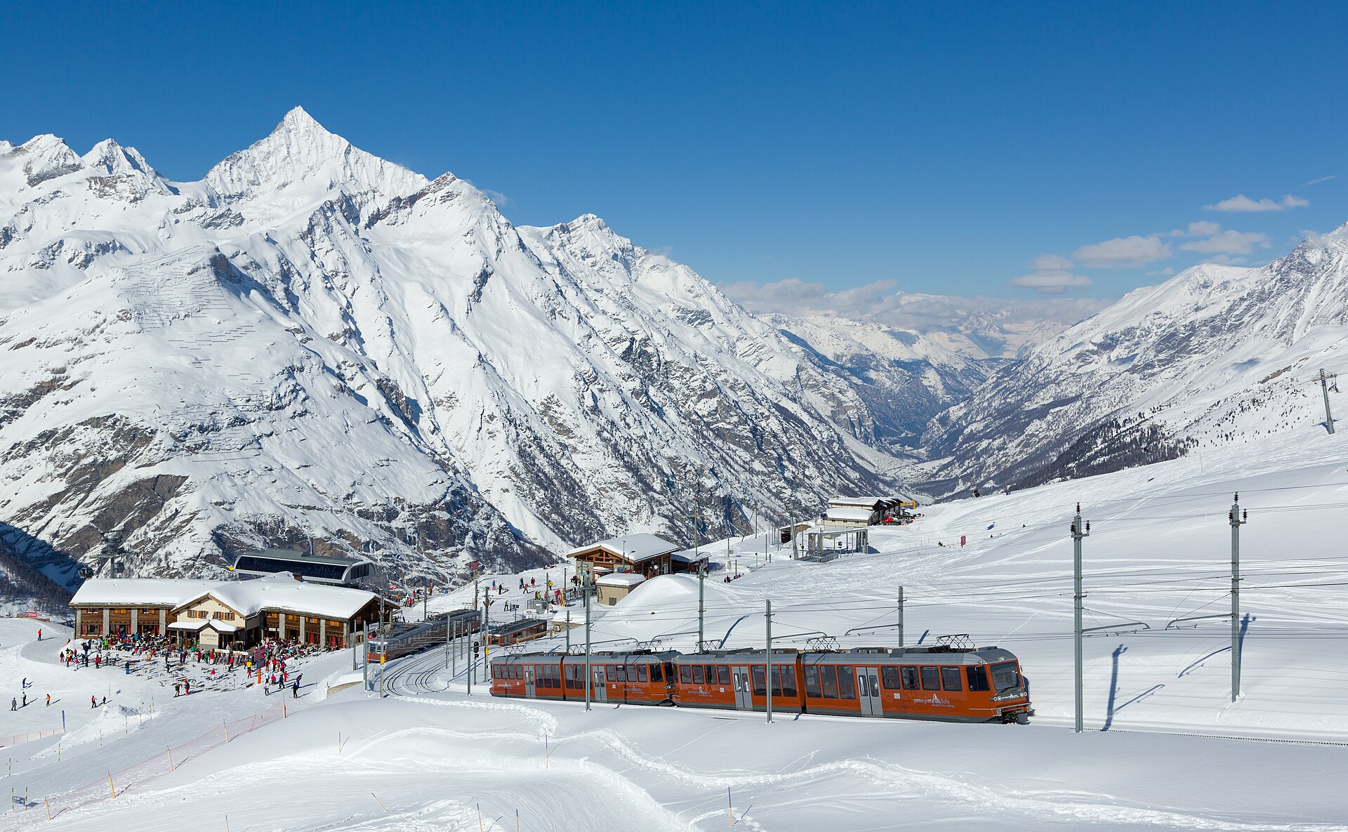
An iconic, world-famous high-alpine panorama hike in Zermatt exploring the sun-drenched ridge between Riffelberg and Gornergrat. Descending slightly from the legendary Gornergrat summit train station at 3,089 meters, the trail meanders past crystal-clear mirror tarns that capture the razor-sharp reflection of the Matterhorn, flanked by the colossal expanse of the Gorner Glacier and Monte Rosa massif.
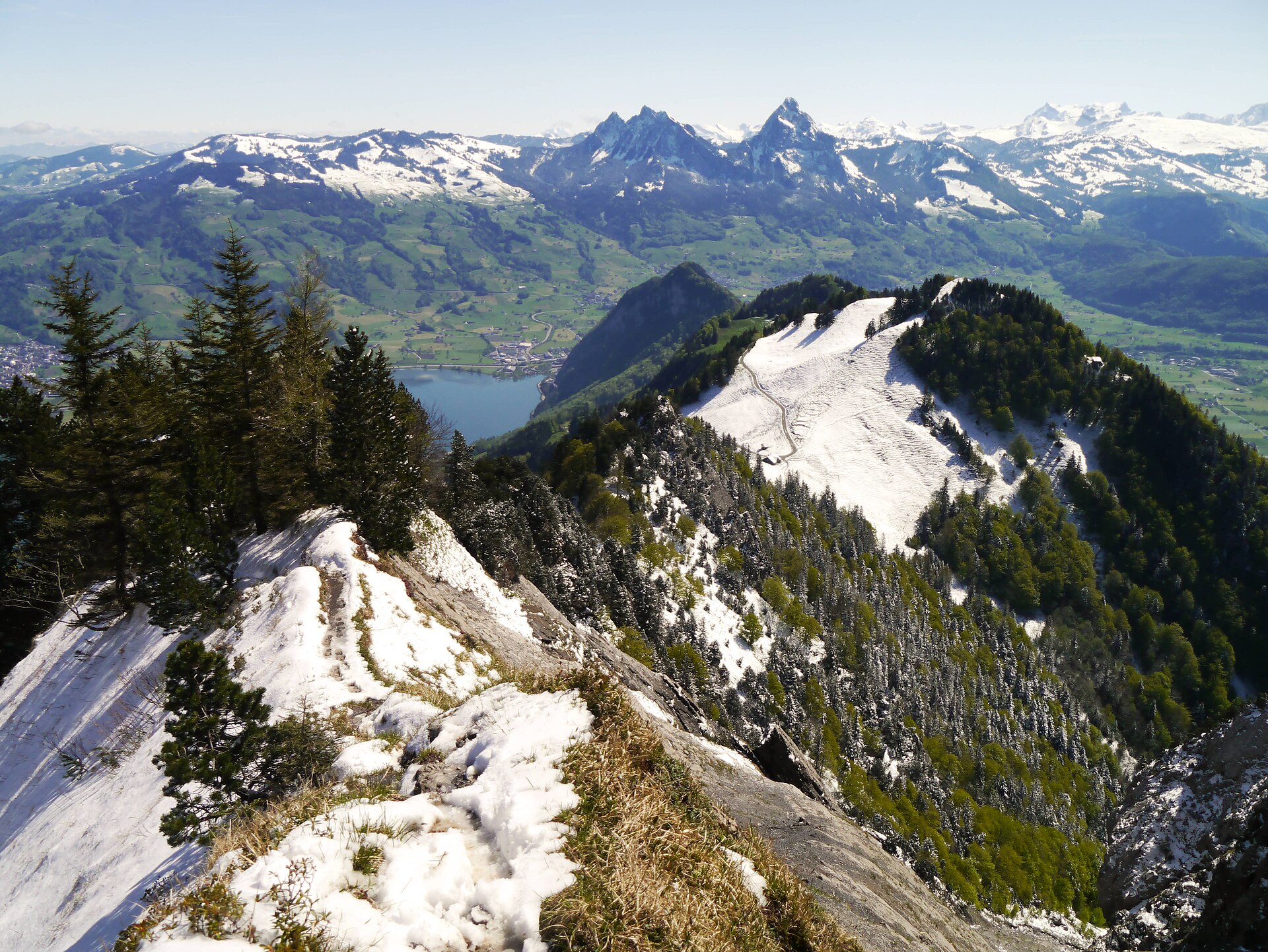
A quiet ridge on the north side of the Rigi, away from the crowds.
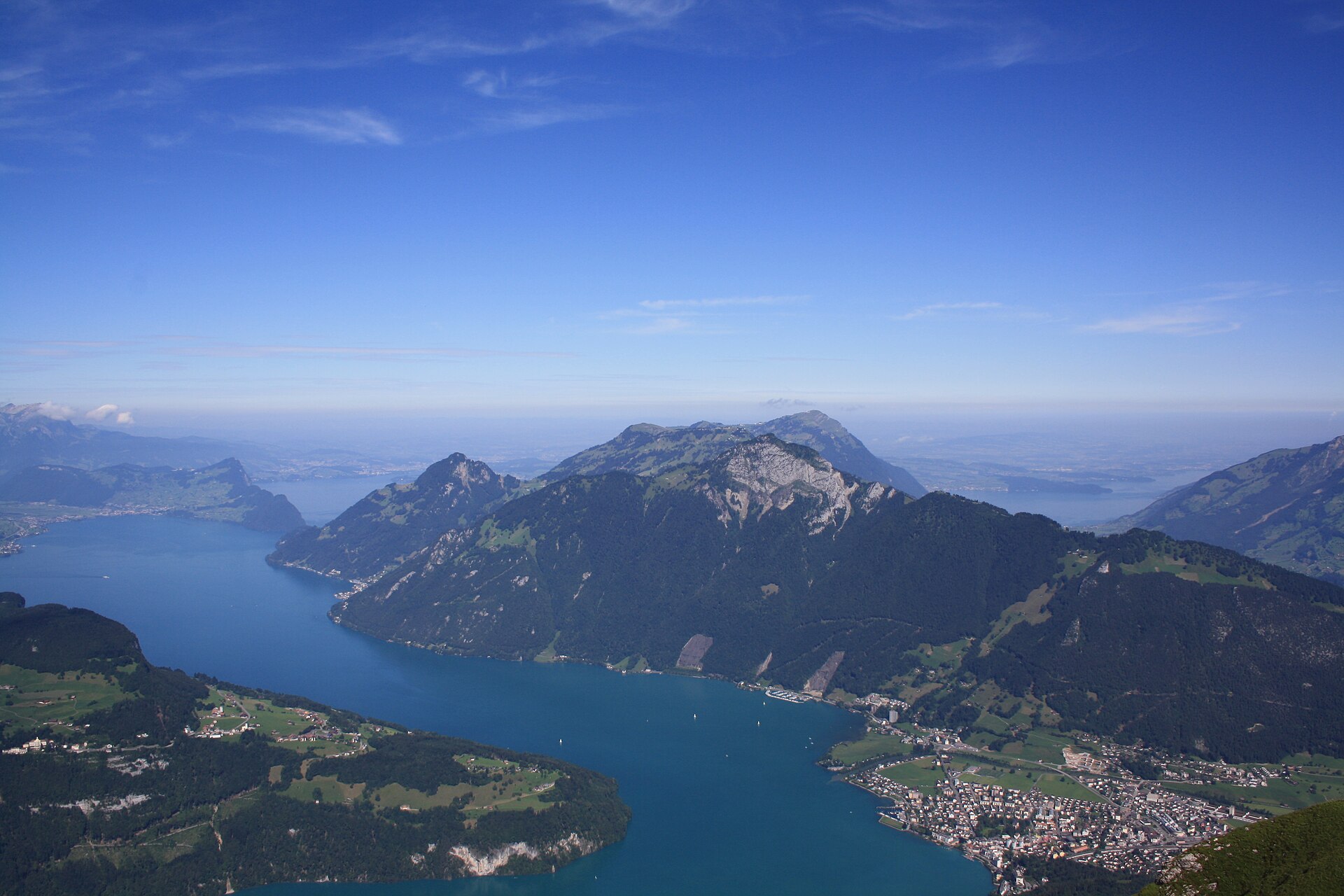
A legendary and immensely historic panoramic hike on Rigi Kulm—celebrated worldwide as the "Queen of the Mountains." Rising majestically between Lake Lucerne, Lake Zug, and Lake Lauerz, Rigi was home to Europe's first mountain railway (built in 1871). The classic summit trail loops across sunlit alpine meadows, offering a breathtaking 360-degree panorama encompassing 13 shimmering Swiss lakes and hundreds of alpine peaks from the Black Forest to the Eiger.
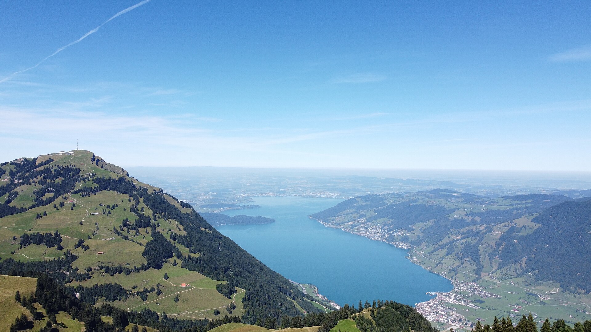
The Queen of the Mountains, reached by Europe's first mountain railway.
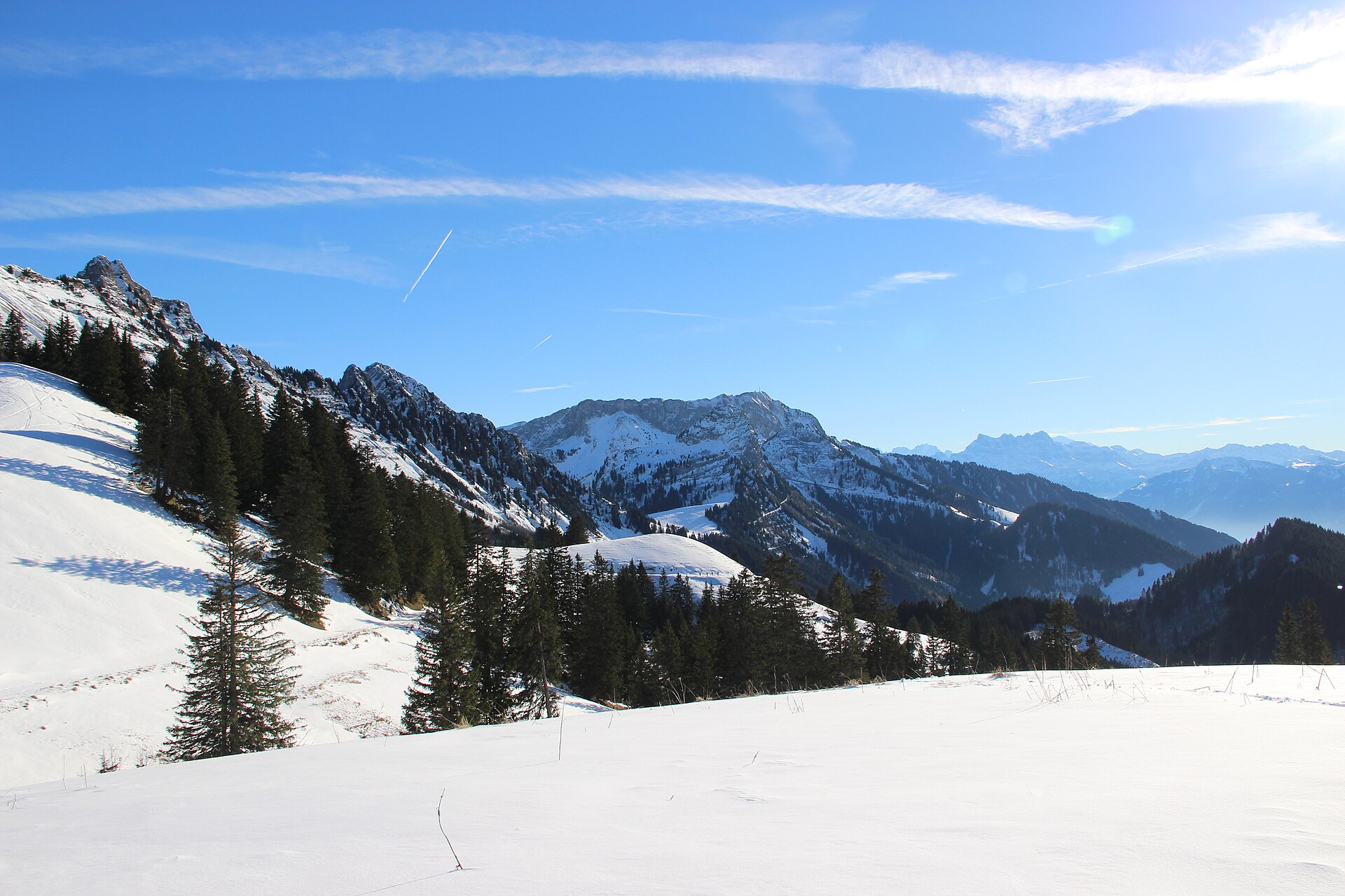
A summit above Montreux, with marmots and a view of Lake Geneva.
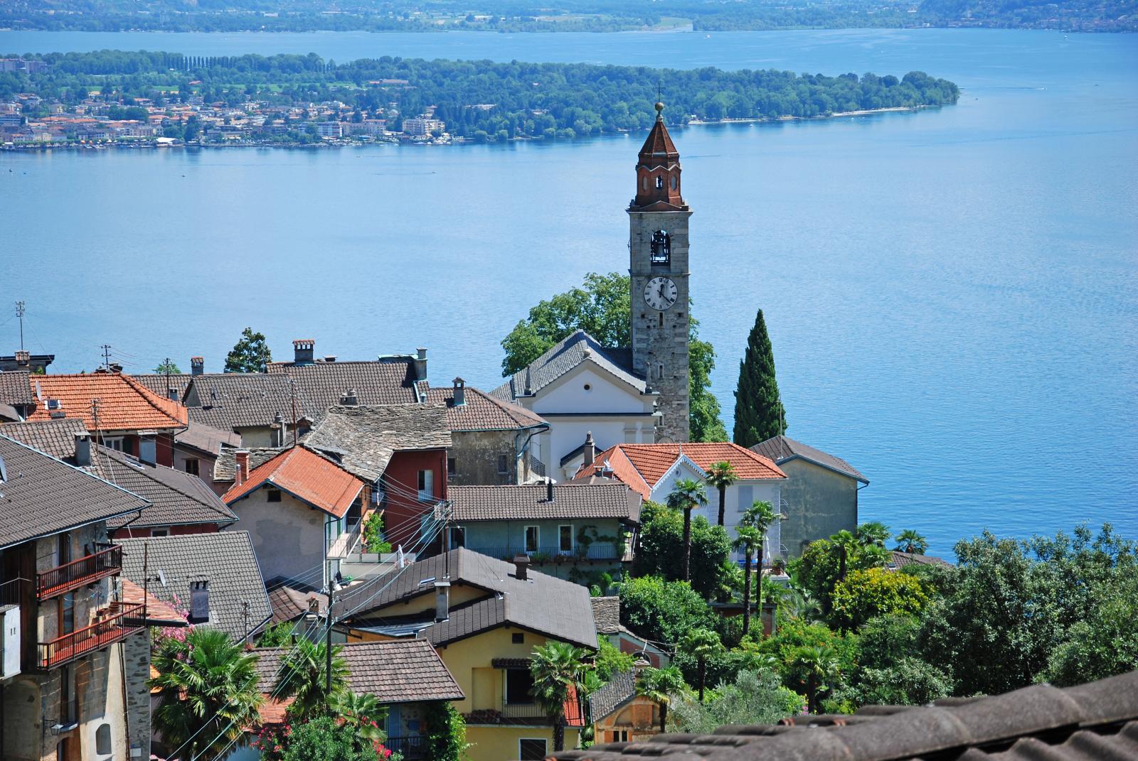
A terraced village above Lake Maggiore, with long stone stairways to the shore.
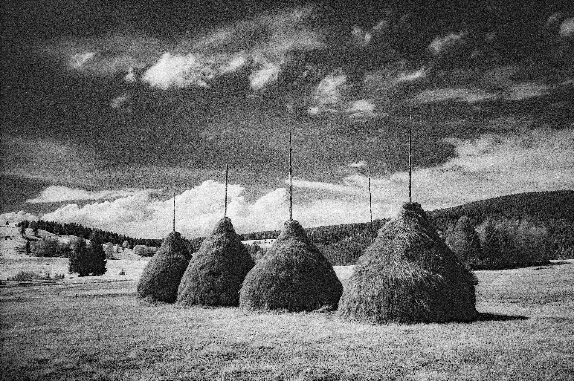
A peaceful and ecologically significant nature hike exploring the Rothenthurm Moor (Rothenthurmer Moor)—Switzerland's largest and most famous contiguous raised bog and moorland landscape. Protected by a historic 1987 national referendum (the Rothenthurm Initiative), the trail meanders along flat boardwalks and gravel paths across sweeping cotton-grass meadows, pine bogs, and traditional Pre-Alpine pasturelands.
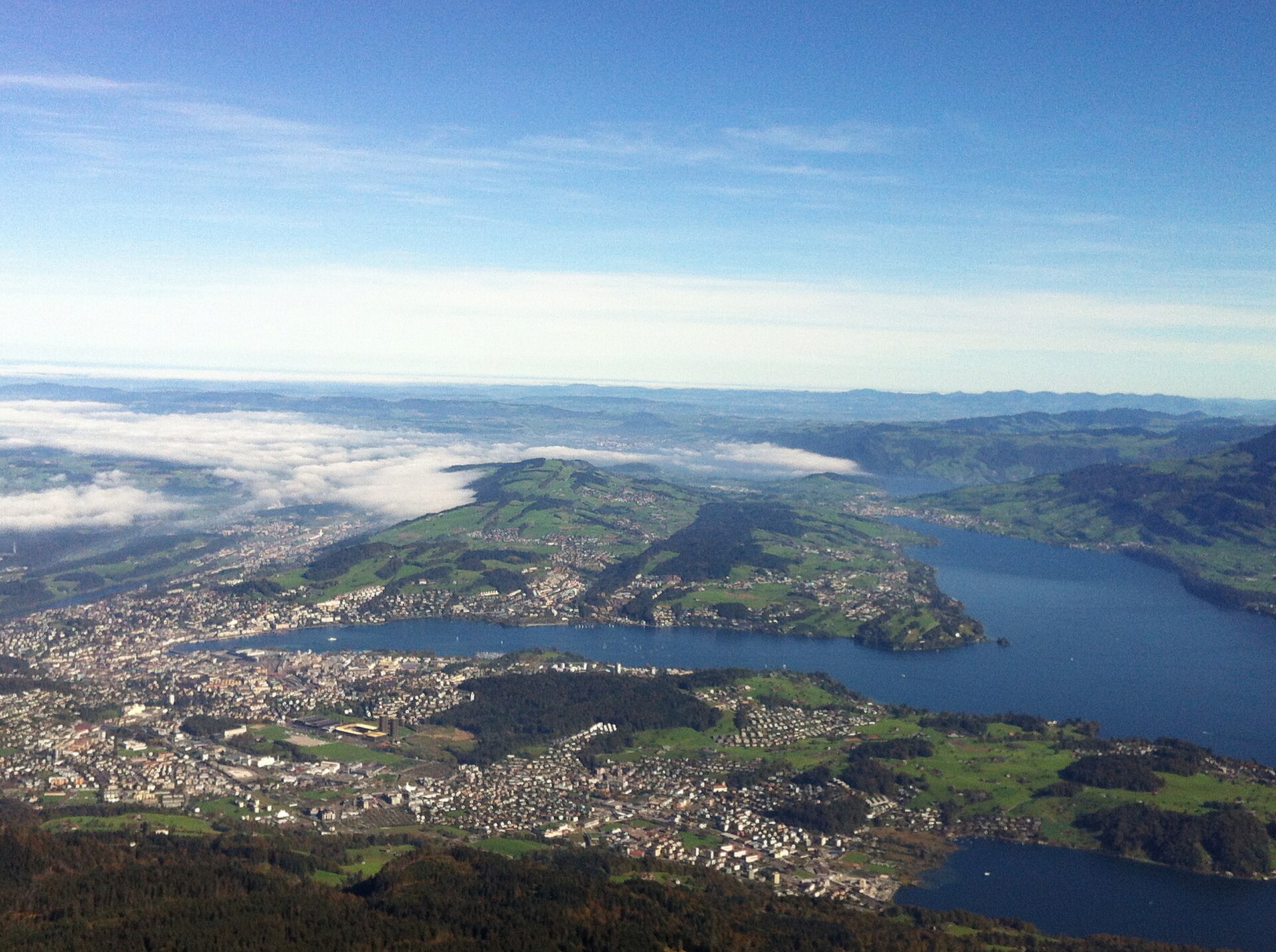
A narrow lake loved by rowers, a short walk from the old town.
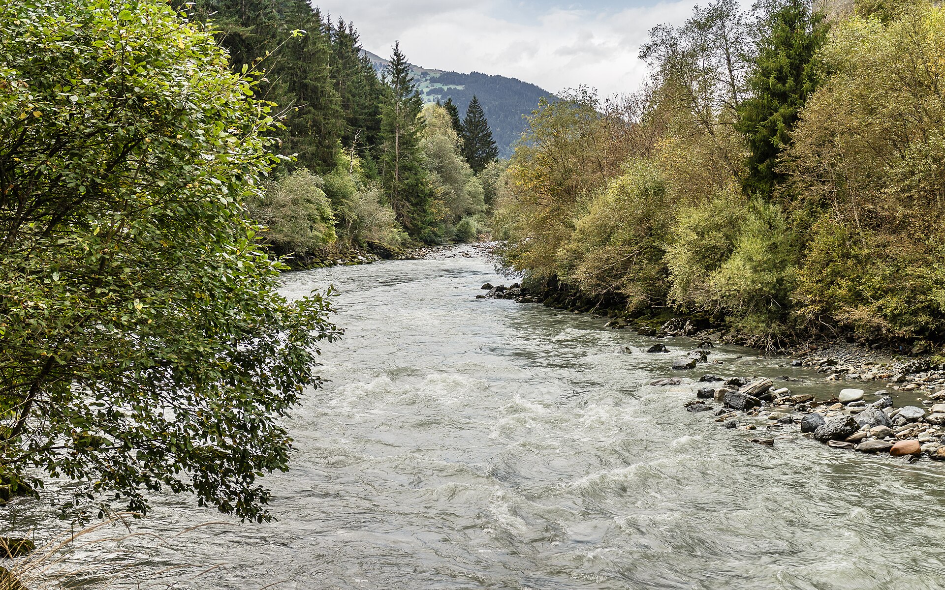
Switzerland's Grand Canyon, walked from a train seat to a train seat.
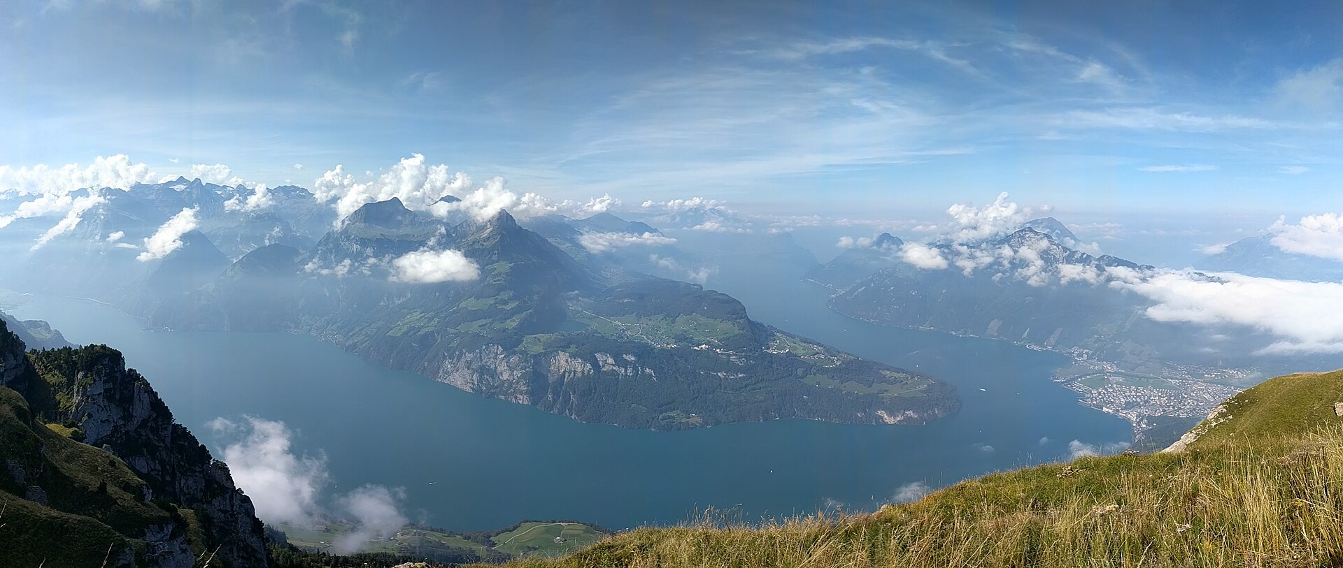
An easy 4 km descent to the meadow where Swiss legend says the country began, reached by boat and forest path.
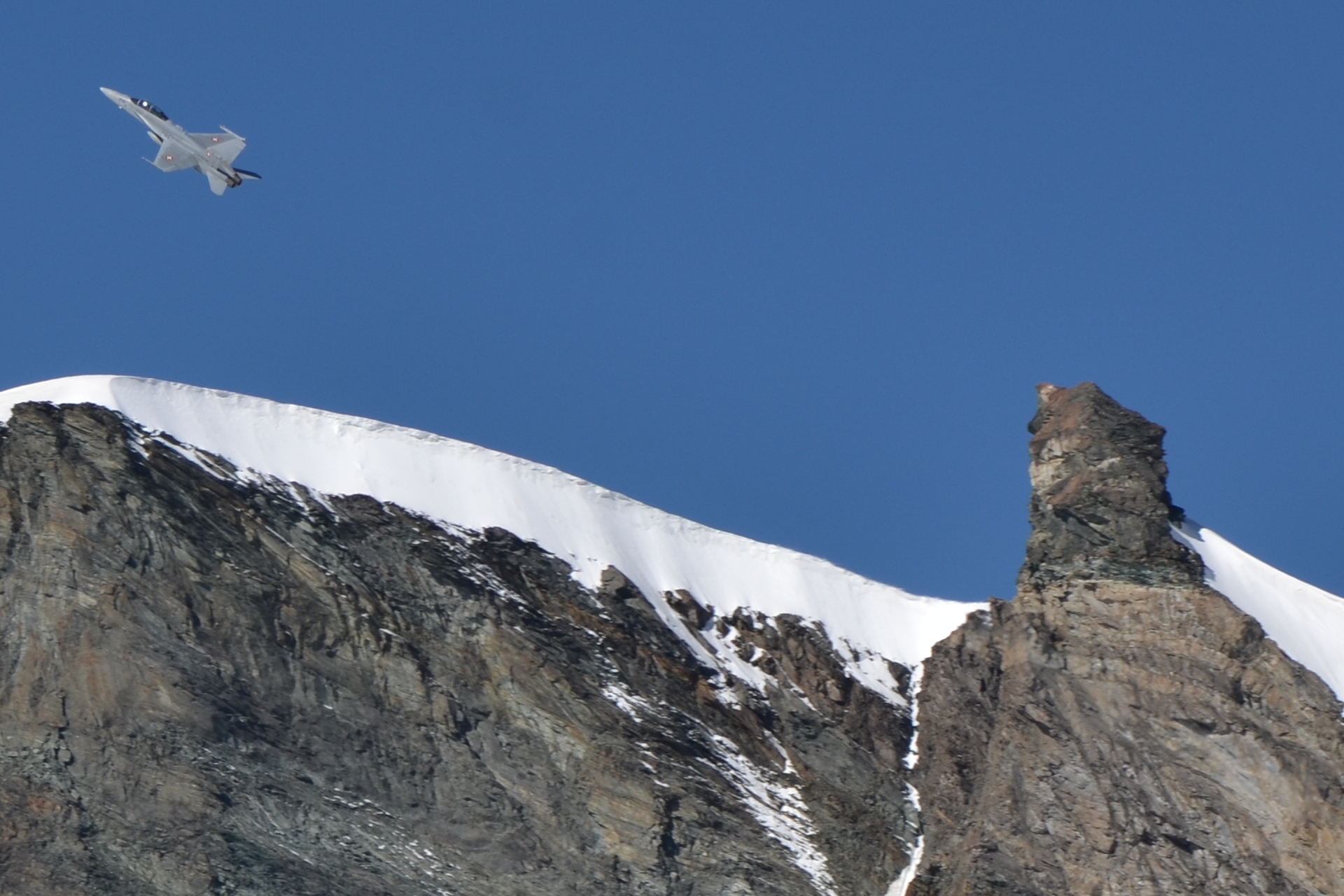
An exhilarating and adventurous high-alpine gorge hike exploring the dramatic Feegletscher gorge carved by rushing glacial meltwaters between Saas-Fee and Saas-Grund. Equipped with steel cables, suspension bridges, iron foot rungs, and ziplines, the Gorge Alpine (Gorge-Alpin) offers a thrilling vertical canyon adventure through roaring white-water canyons surrounded by towering Valais four-thousand-meter peaks.
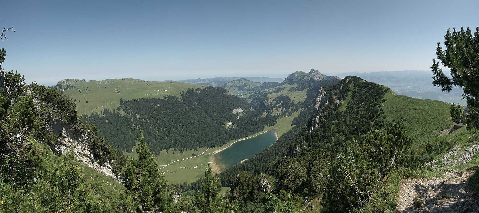
A green mountain lake in the Alpstein, reached through a quiet valley.
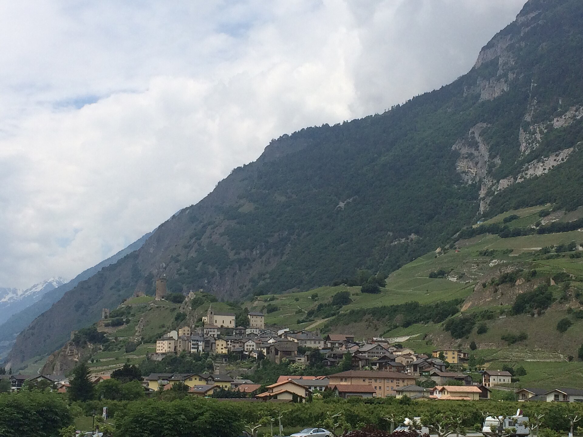
A medieval walled village on a rock, among vineyards, with a famous forger's story.
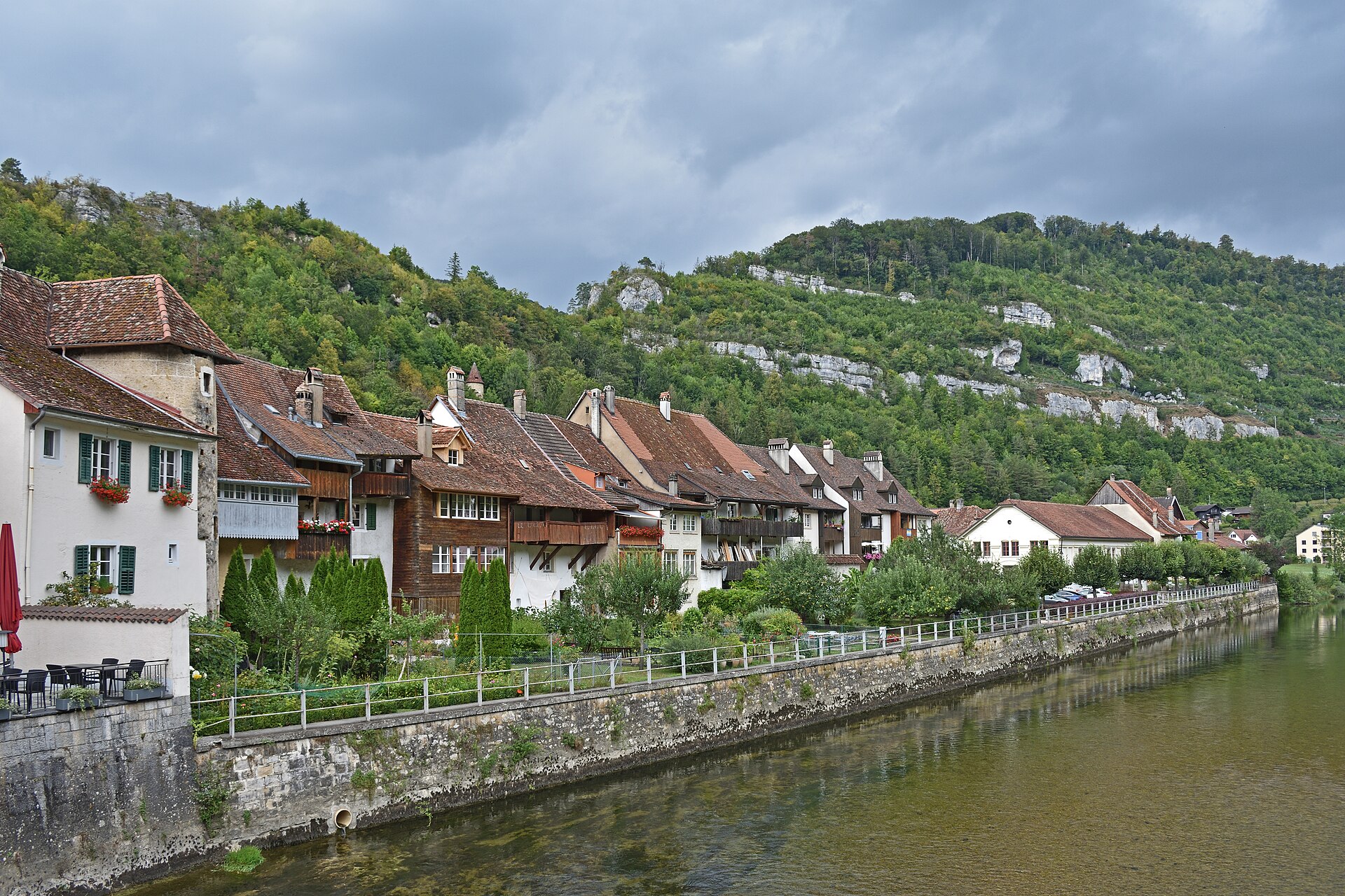
A medieval town in a bend of the Doubs, with a river path through forest.
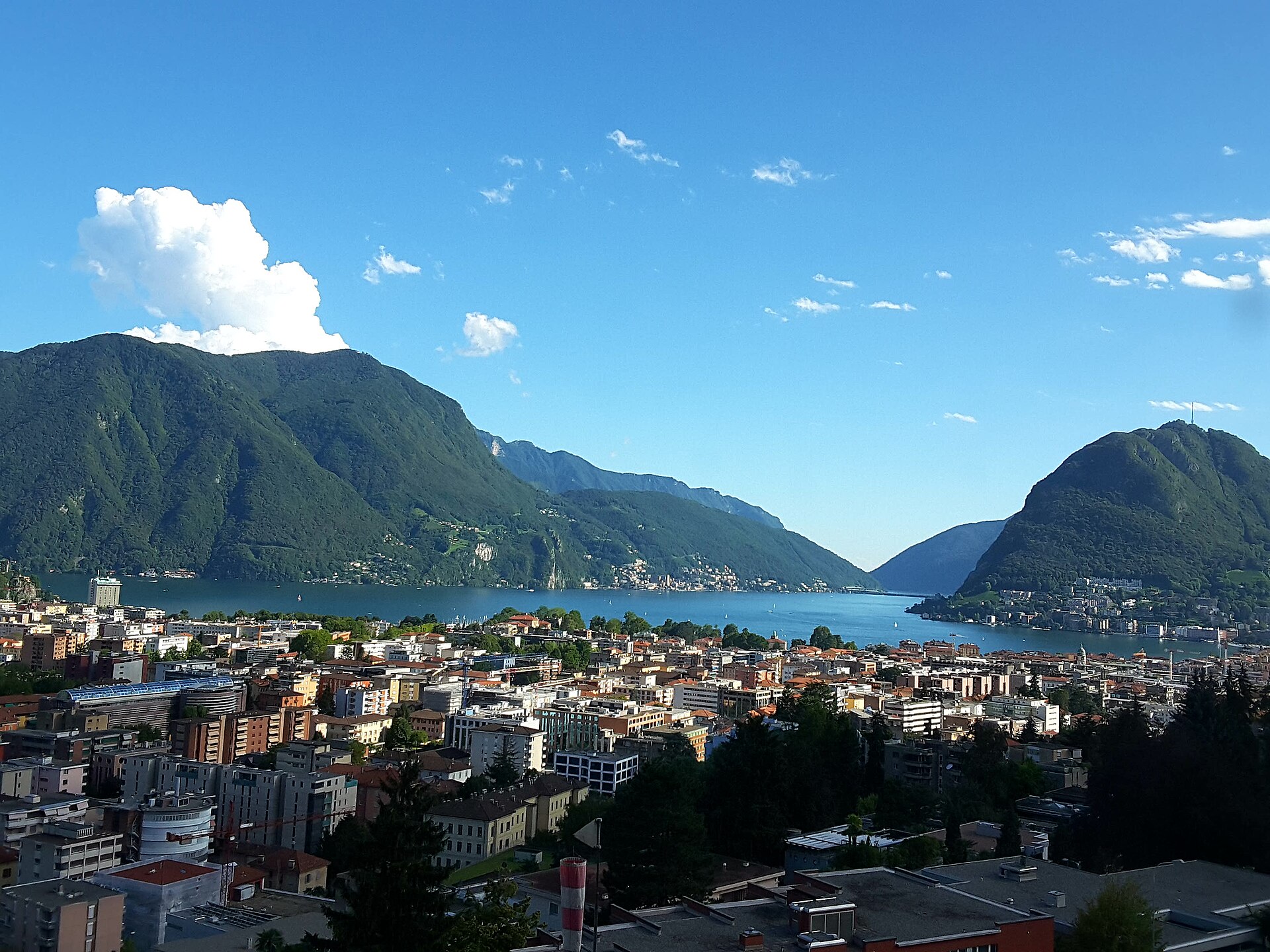
A funicular to a summit above Lugano, then a path down to a village of gardens.
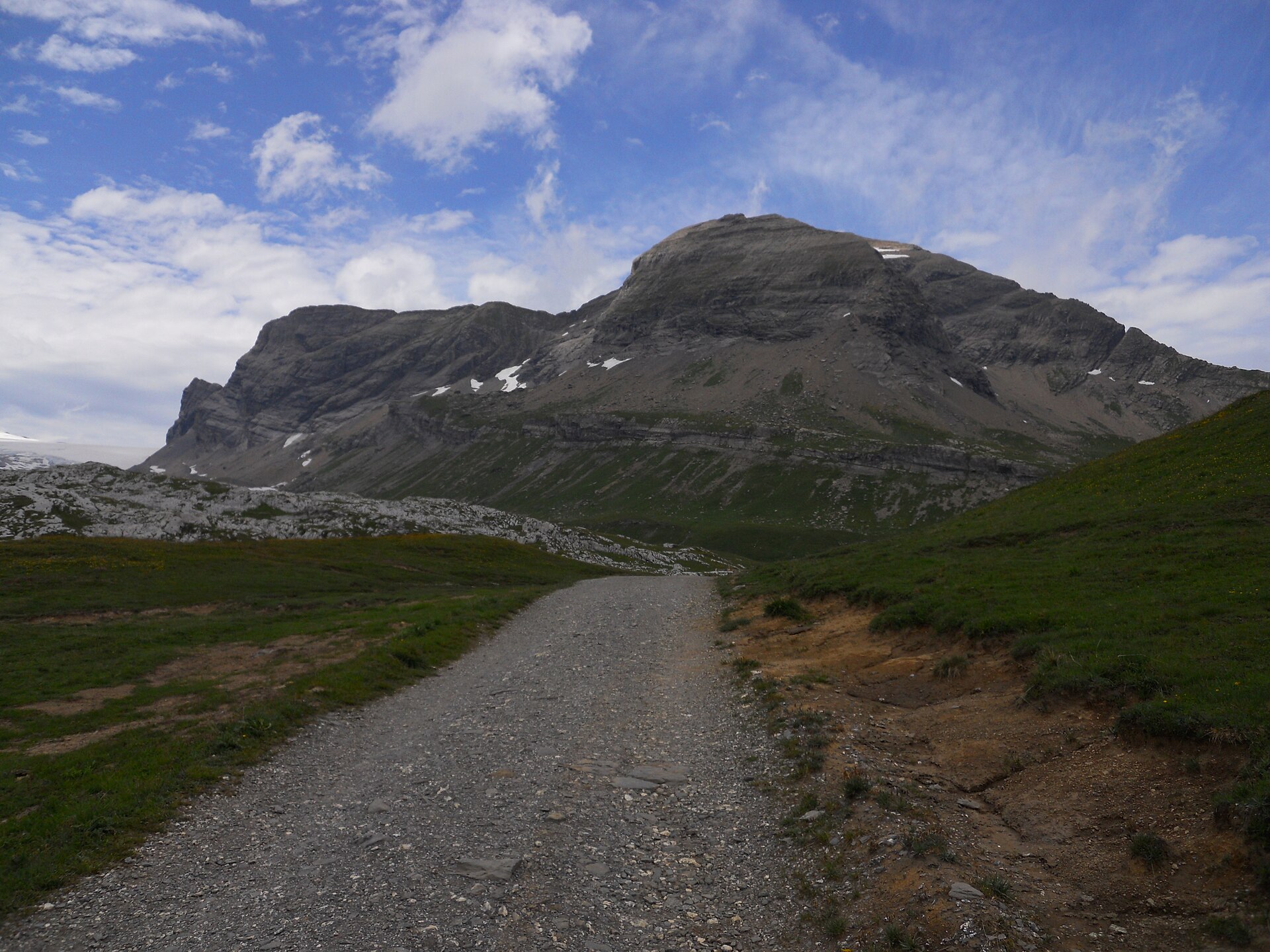
A high pass, a dam lake and a glacier view on the border of two cantons.
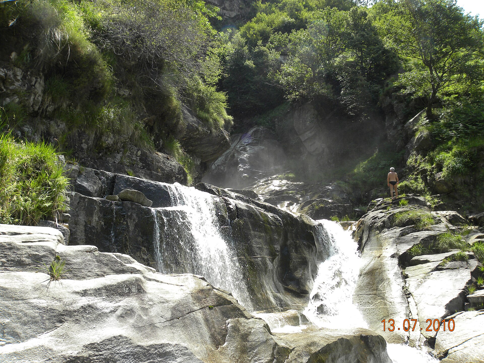
A short woodland walk above Biasca to a waterfall plunging over 100 m into a narrow cleft, past a Romanesque hillside church.
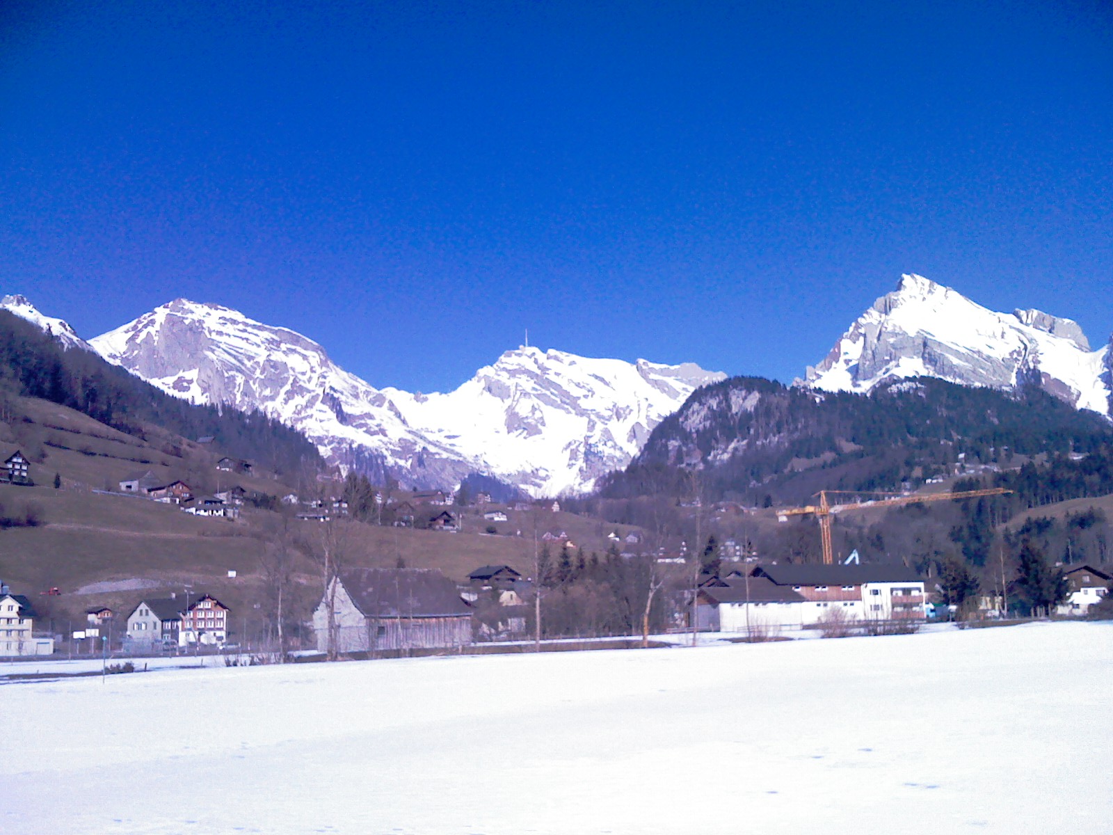
A legendary and dramatic high-alpine ridge hike leading to the summit of Säntis (2,502 m)—the majestic weather-station peak towering over northeastern Switzerland. Starting from Schwägalp through primeval forest and steep limestone karst arêtes (Geological Trail), the route culminates on the panoramic summit terrace with staggering 360-degree views across six countries.
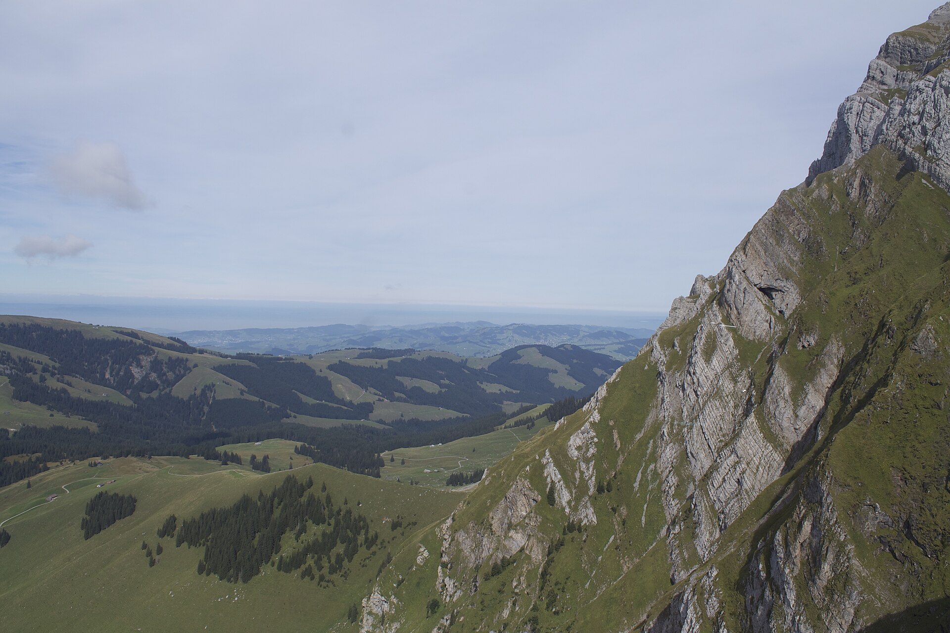
A full mountain day from Schwägalp past the Tierwis inn to the 2,502 m Säntis, the Alpstein high point with six countries in view.
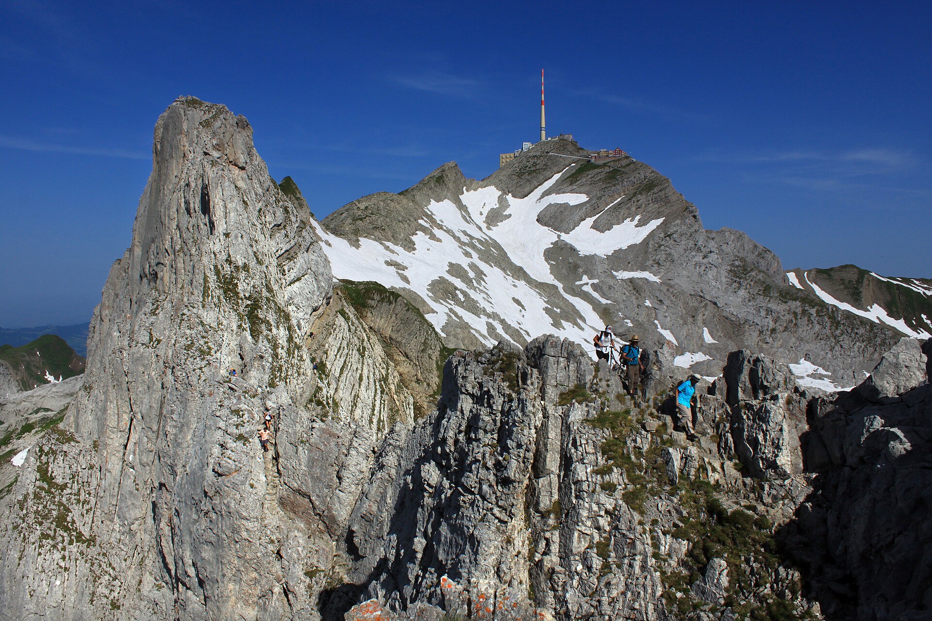
A cabled limestone ridge to the highest peak of the Alpstein.
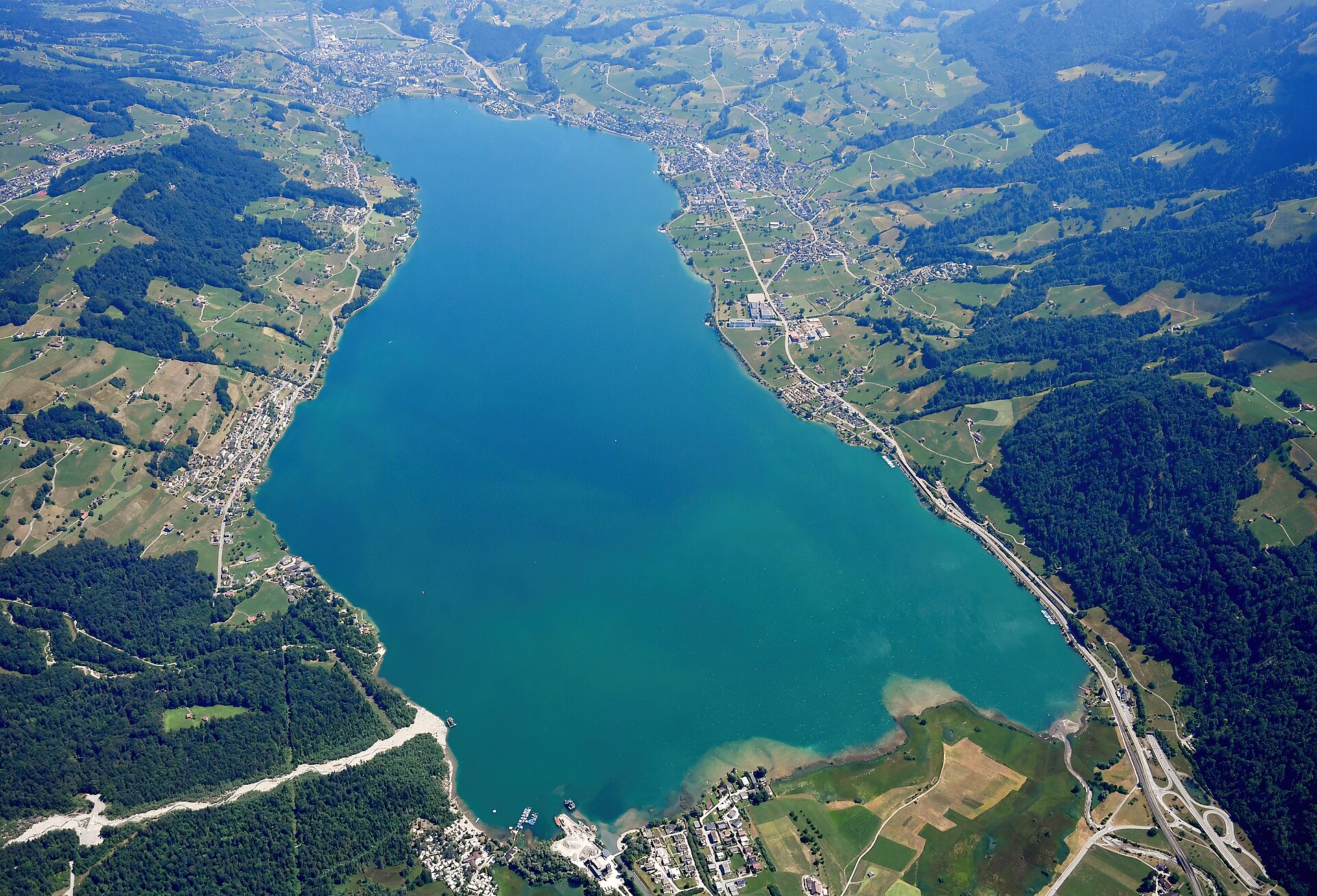
A flat lake path in central Switzerland, with views of the Pilatus and a historic assembly square.
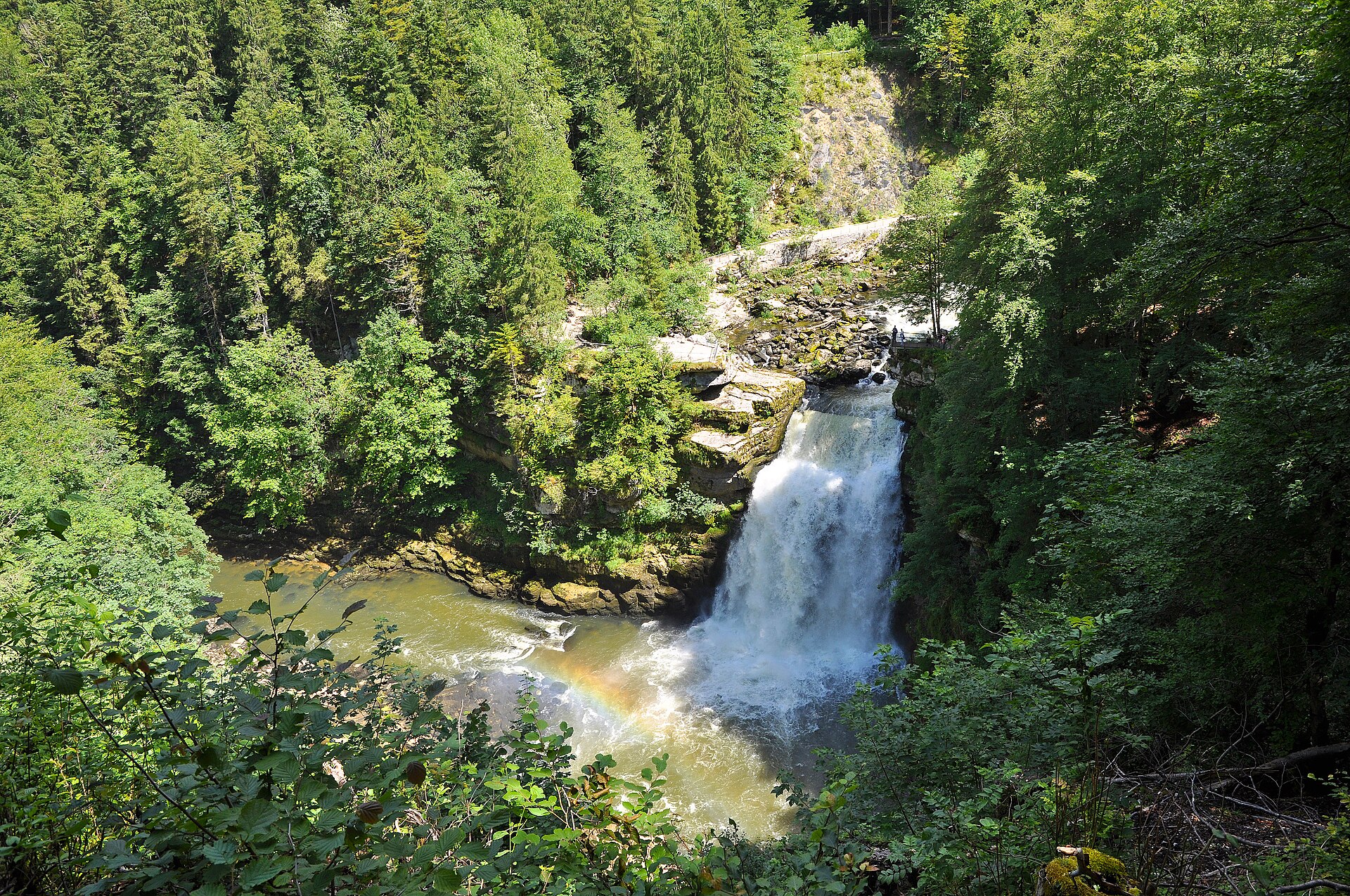
A river on the French border, a lake and a waterfall at the end of the boat ride.
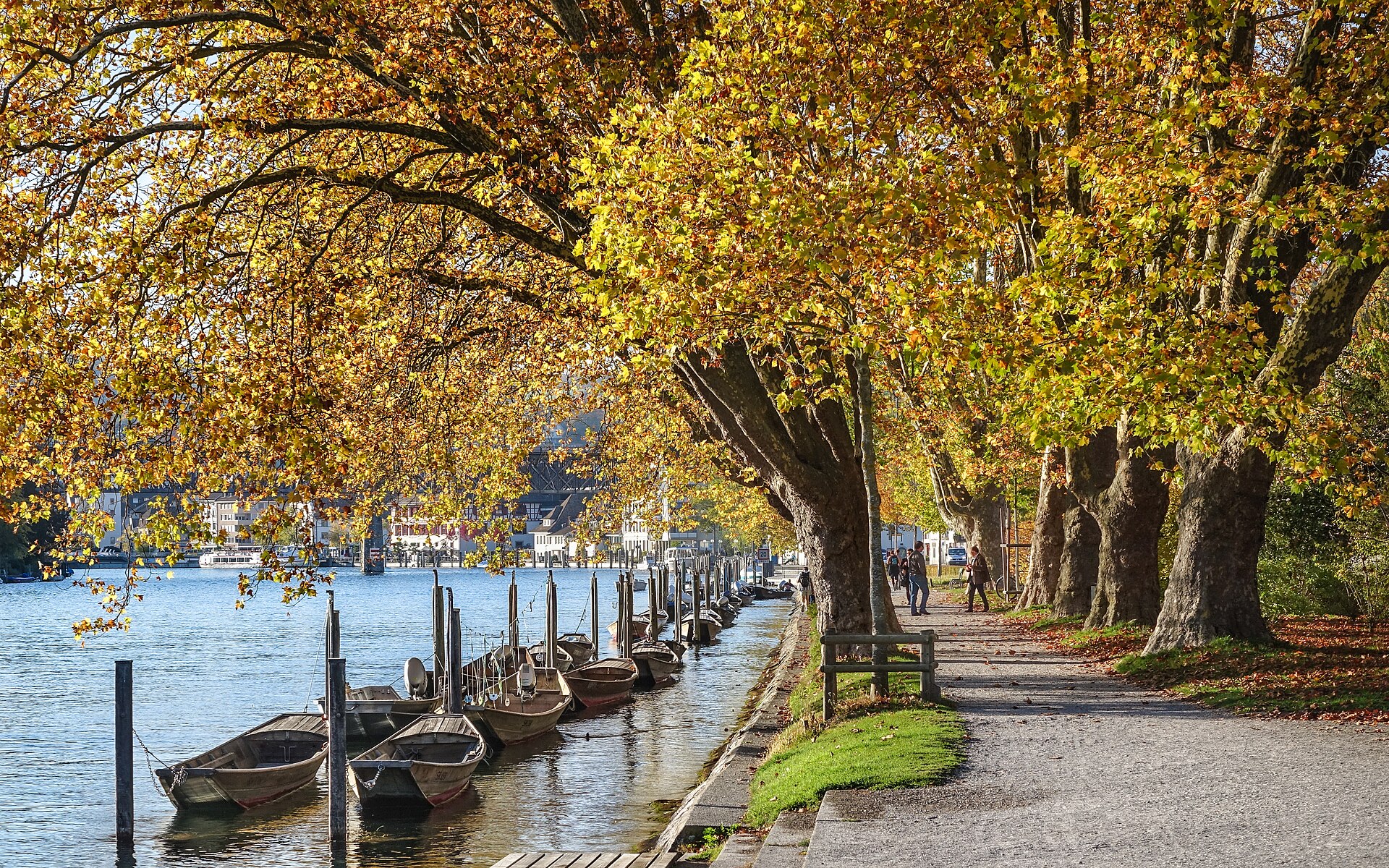
A circular 16th-century fortress above a town of painted oriels.
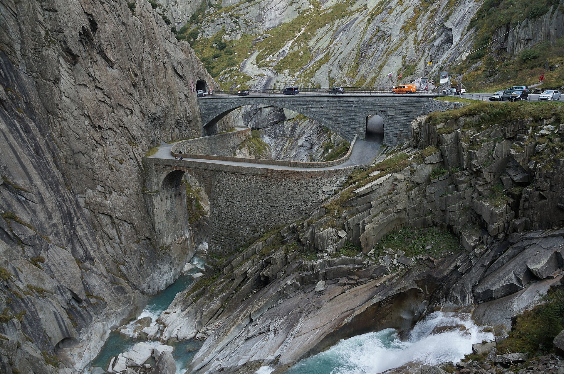
A gorge, a legend and a bridge the devil is said to have built.
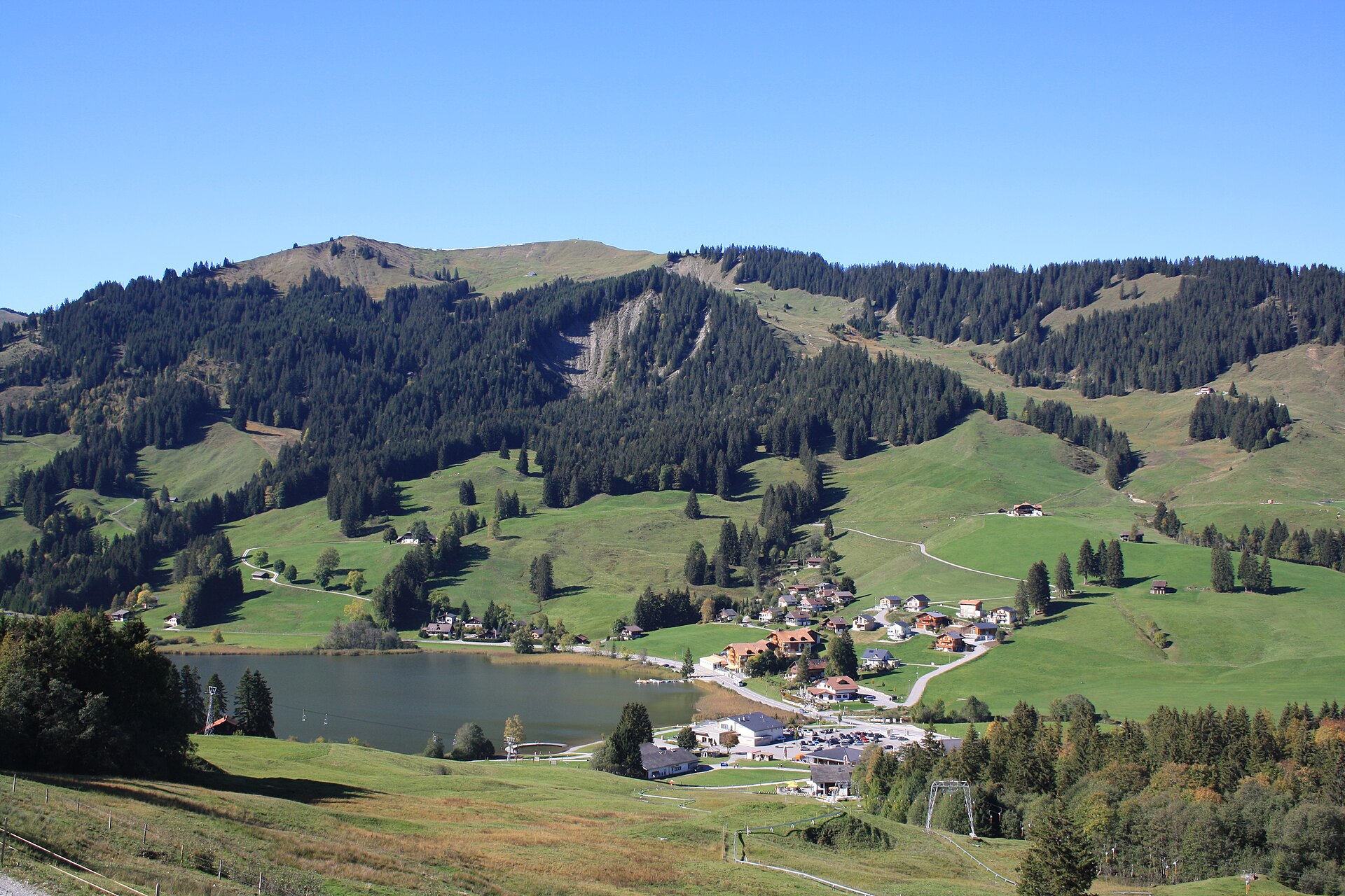
A mountain lake in German-speaking Fribourg, below the Kaiseregg ridge.
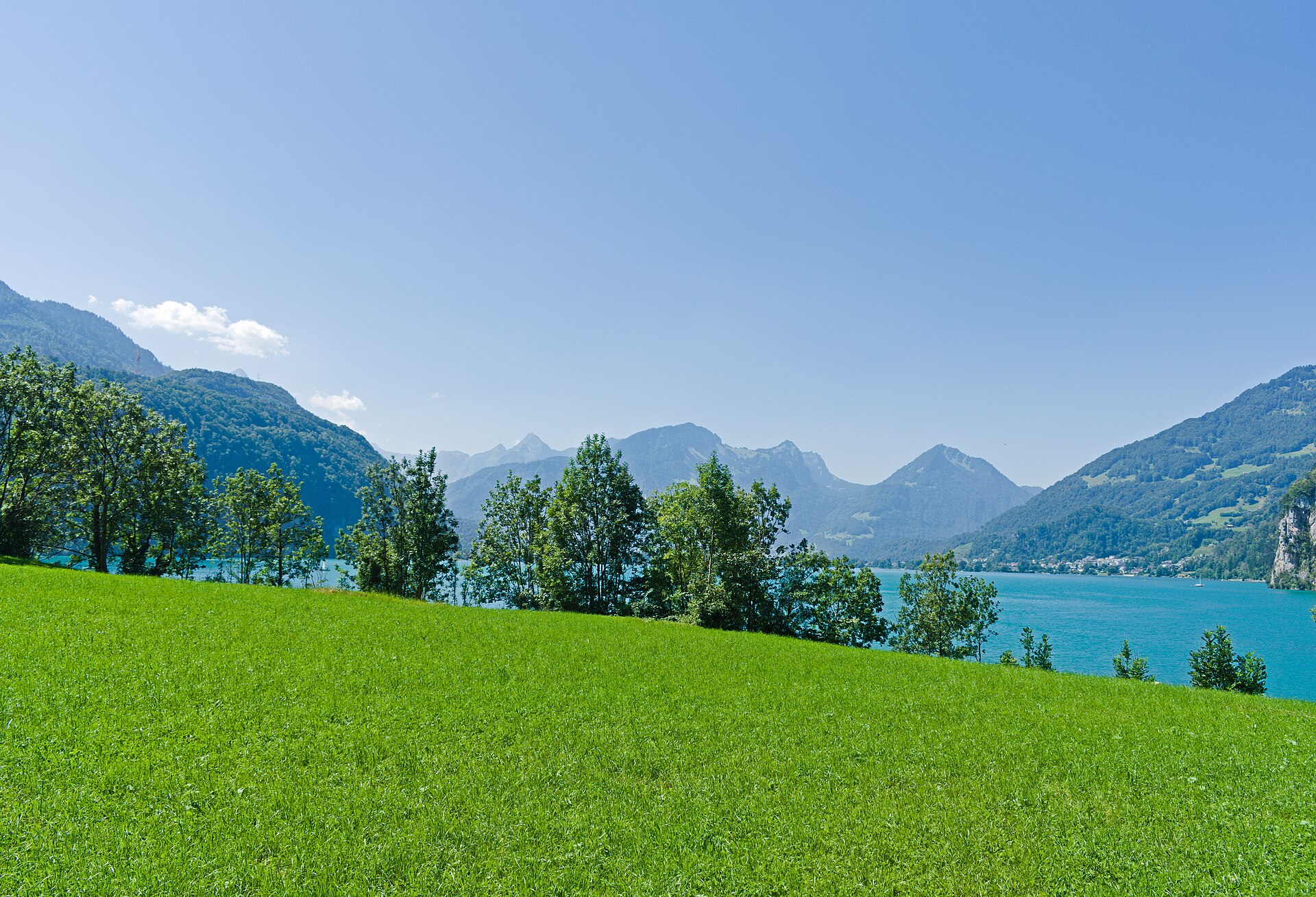
Three waterfalls over the Walensee, with the Churfirsten wall across the water.
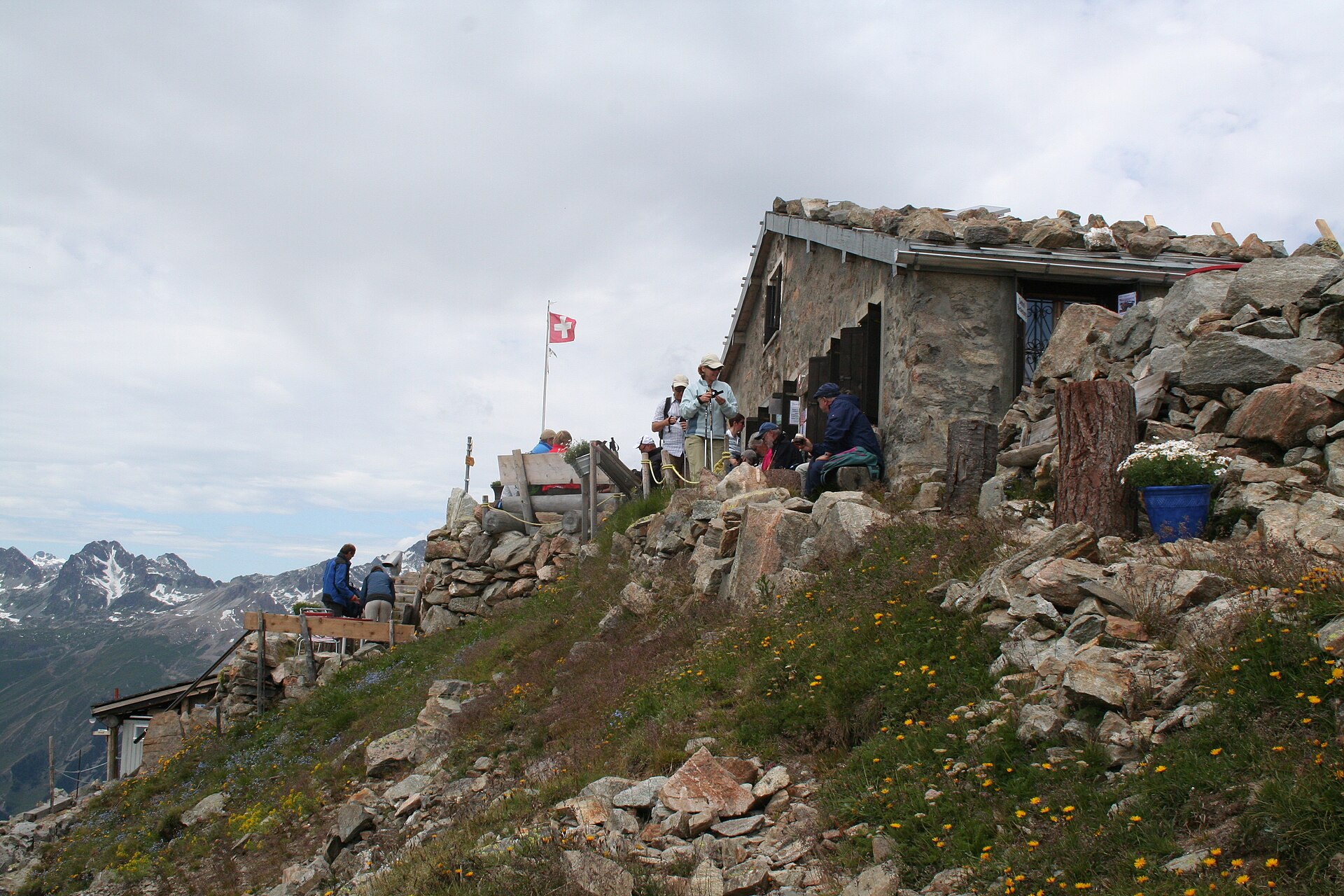
A hut above the Engadin lakes, named for the painter who loved this light.
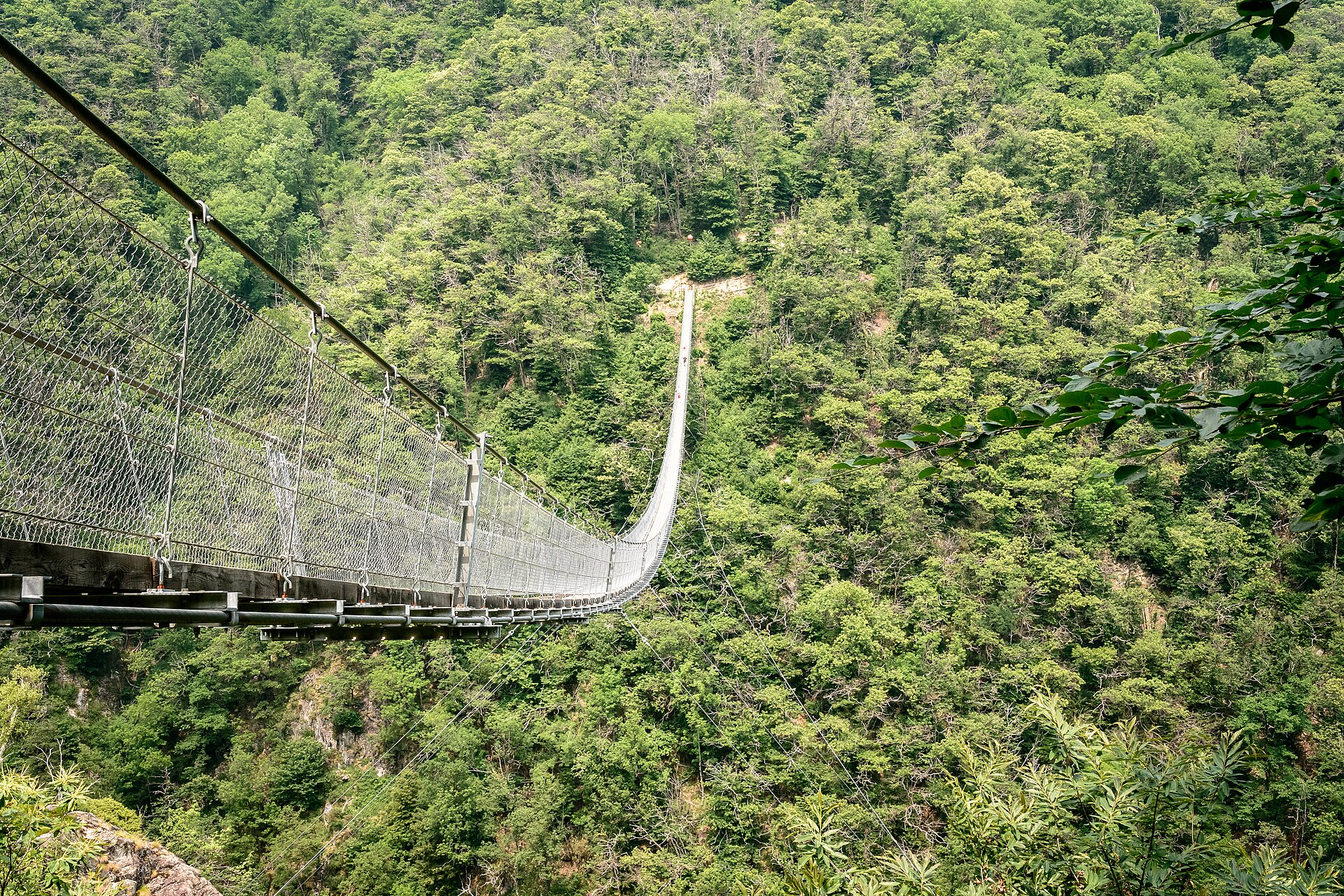
A climb through chestnut forest above Monte Carasso to a deep granite gorge, with a high bridge over turquoise river pools.
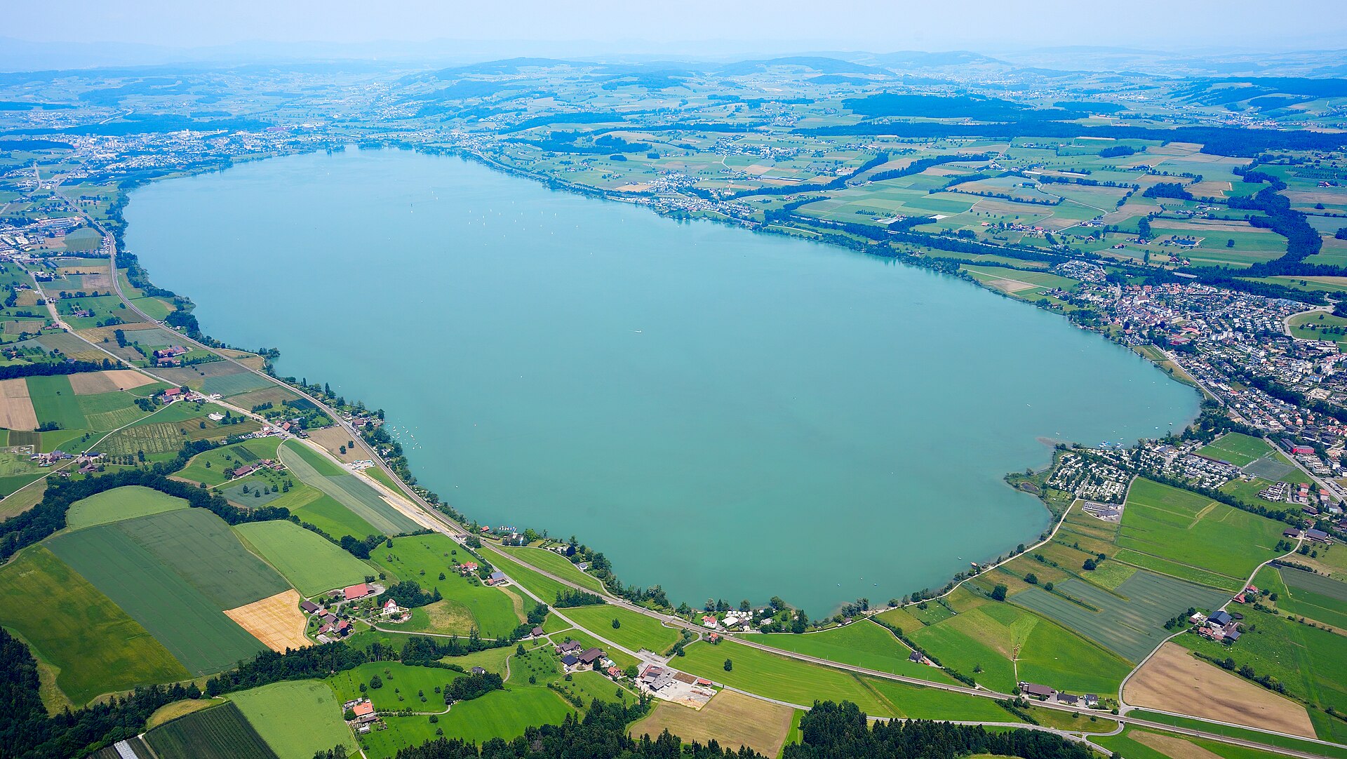
A lakeside and battlefield walk at the walled town of Sempach, site of the Confederates' famous 1386 victory over the Habsburgs.
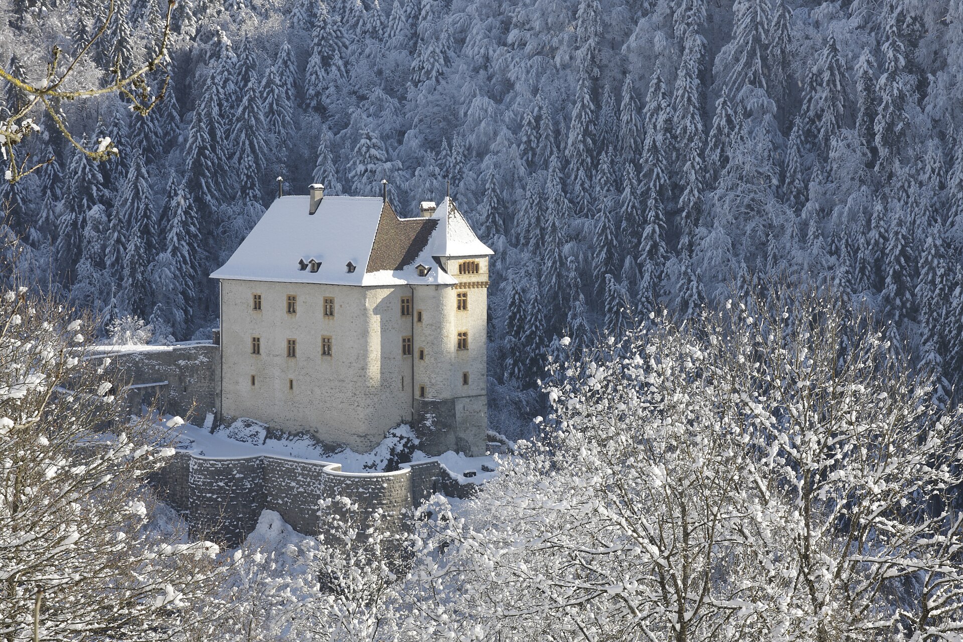
A narrow wooded gorge with a footpath, between a castle village and the lake city.
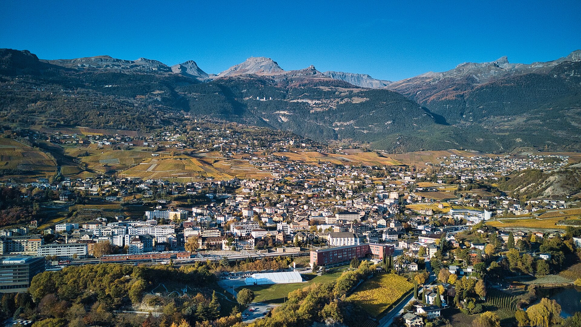
A vineyard path at the language border, with cellars and the Rhône valley below.
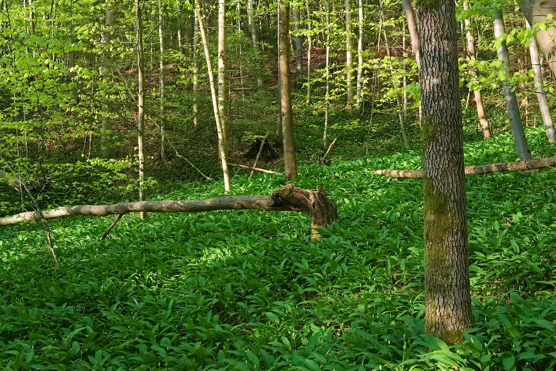
A forest the size of a small city, left to grow wild thirty minutes from Zurich.
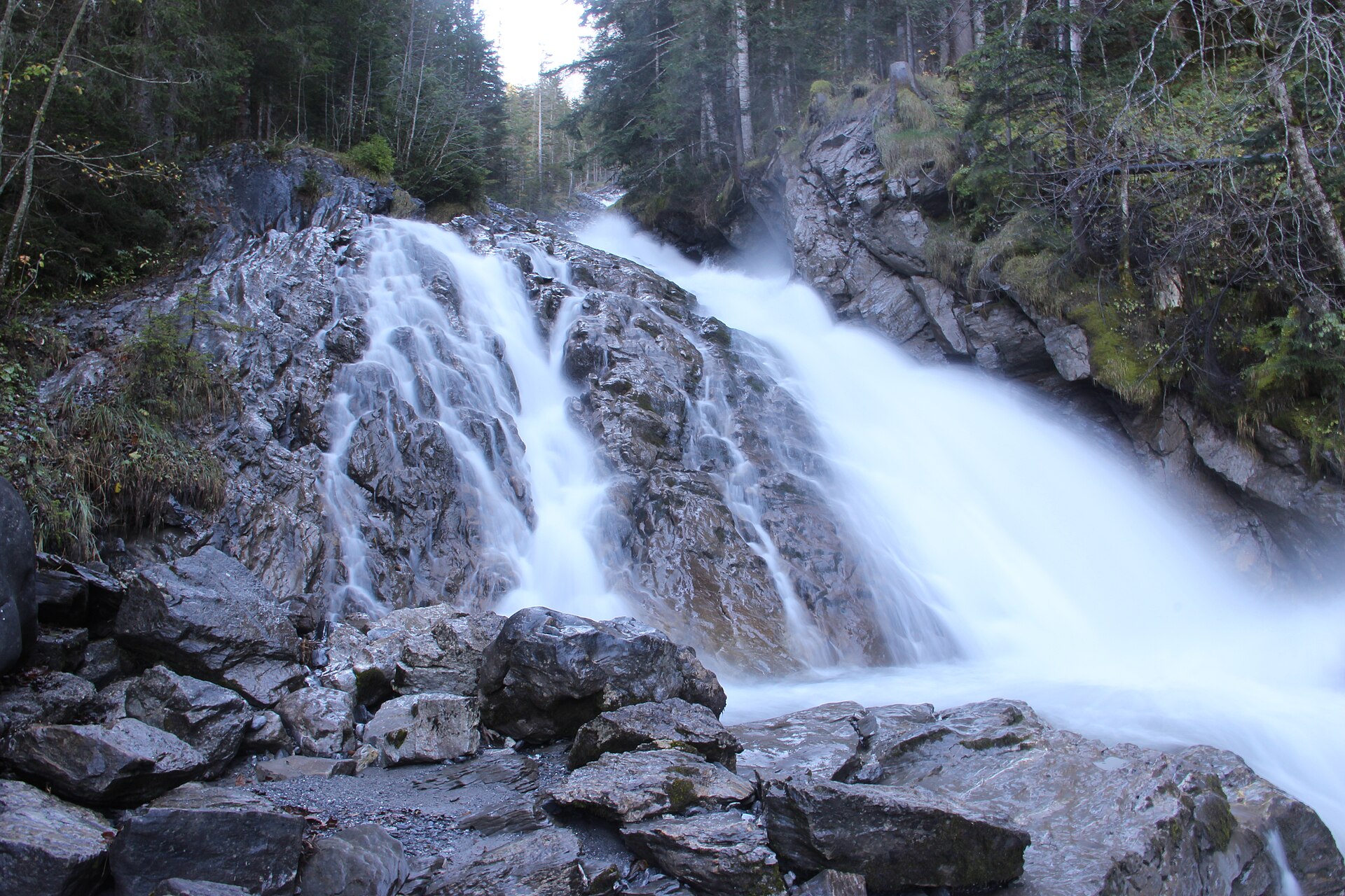
A waterfall in four steps, and the seven springs where a river begins.
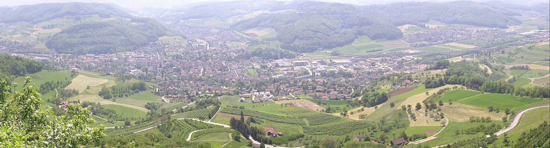
A Jura ridge with a long view to the Black Forest and the Alps.
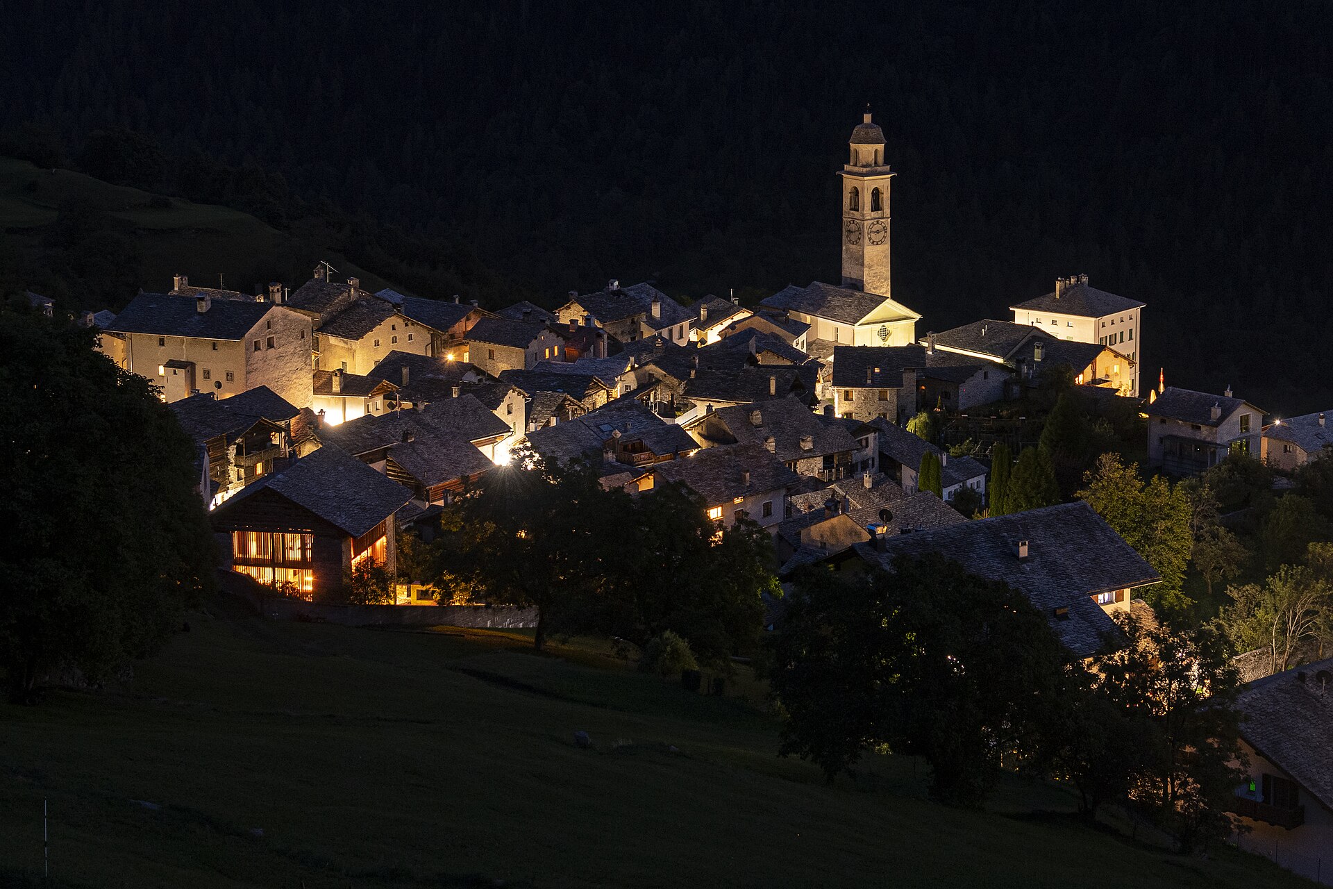
An easy descent from the terrace village of Soglio through golden chestnut forest to Castasegna on the Italian border.
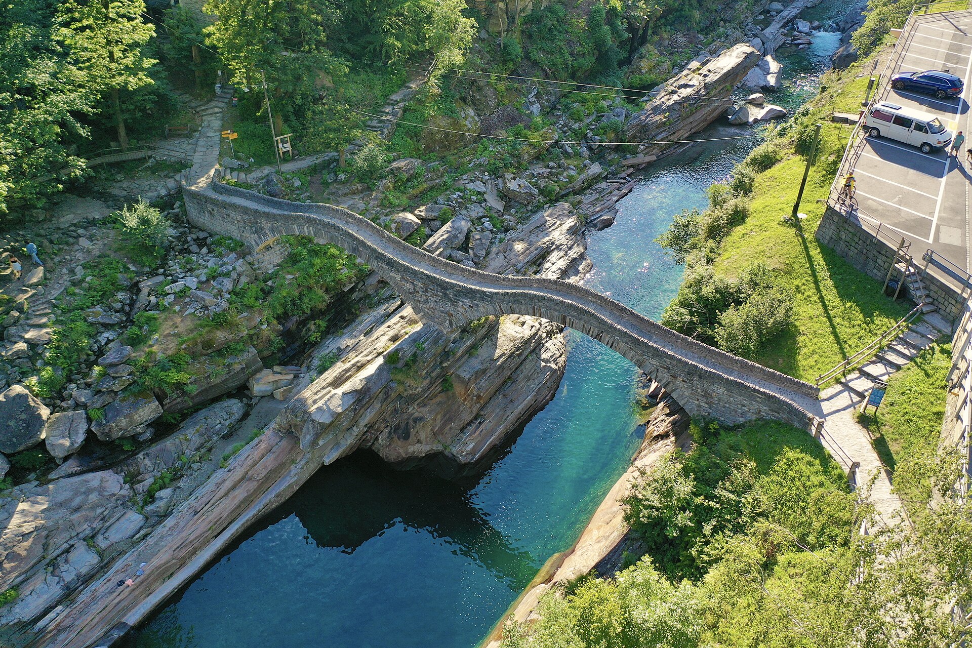
The long way down the valley, on old paths beside the clearest river in Switzerland.
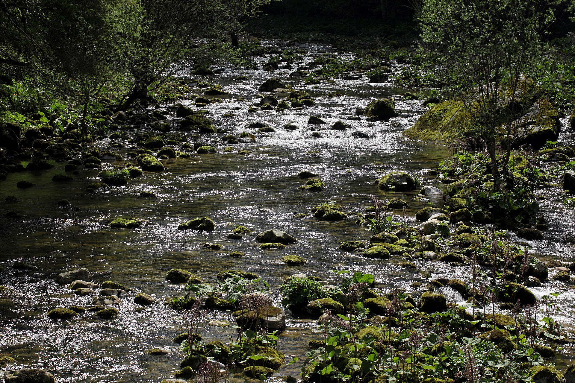
A river that appears fully formed from a cave, and a gorge with old forges.
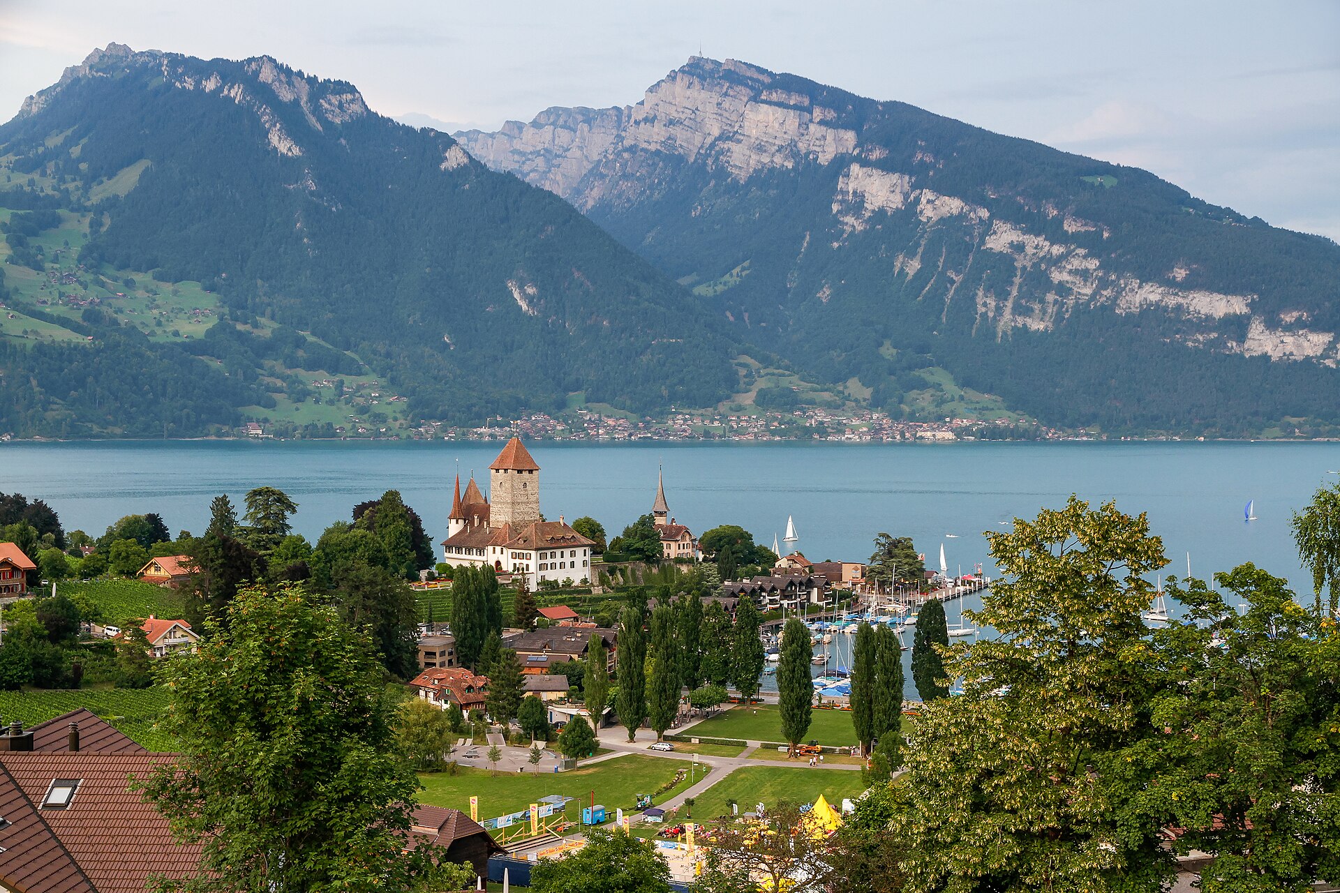
A castle on a peninsula, a vineyard and a lake path with the Niesen in the background.
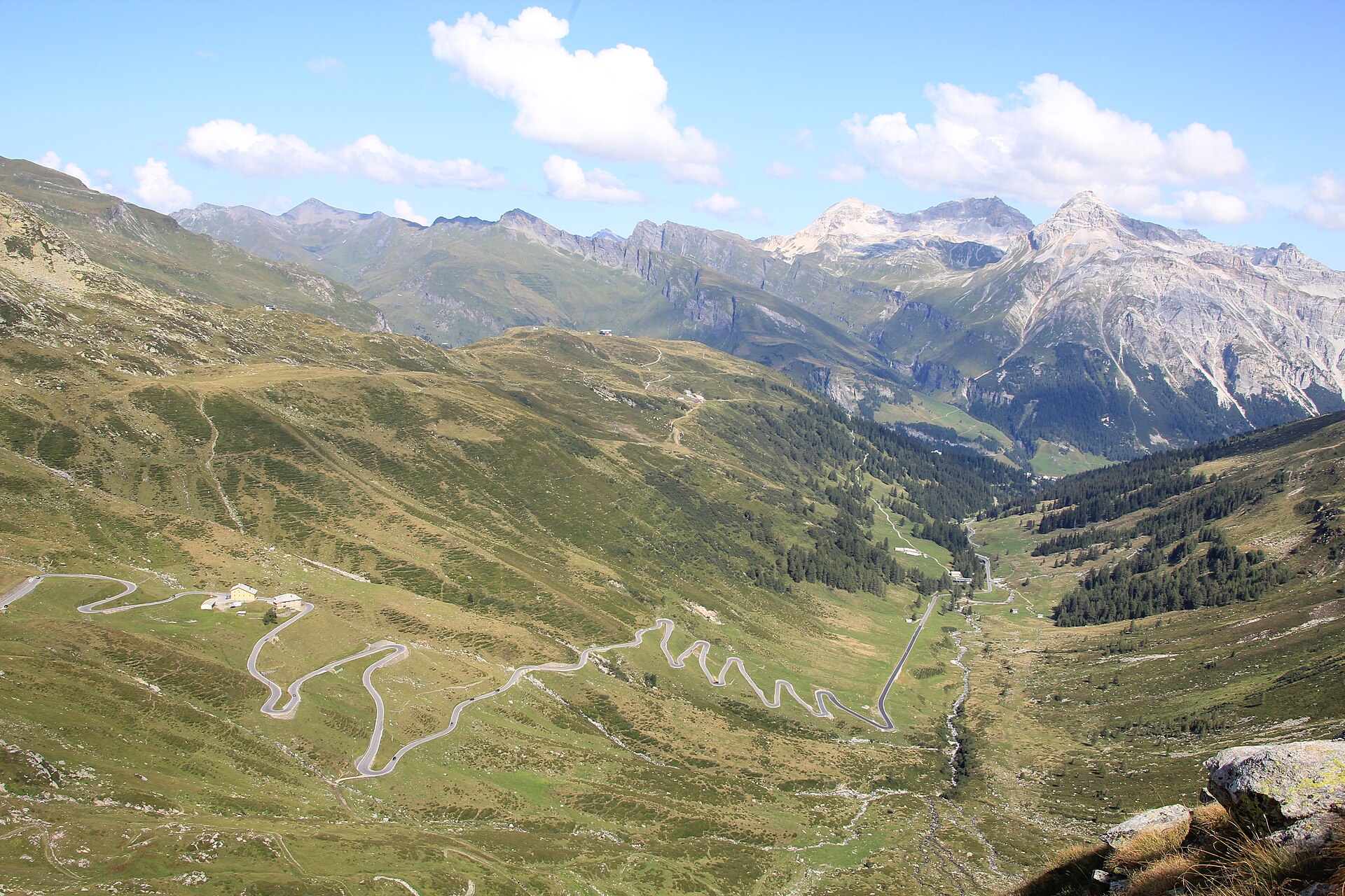
A historic trade route over the pass into Italy, walked on cobbles and old stone bridges.
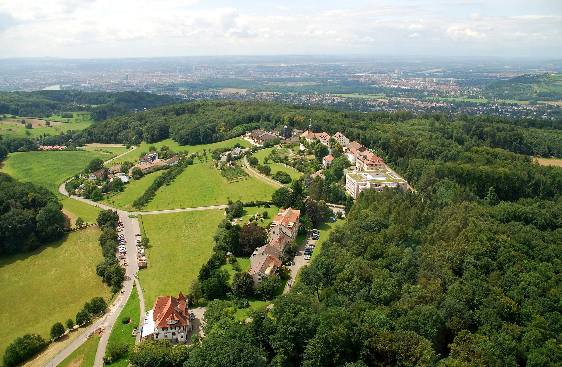
A hill above Basel with a tower, a pilgrim church and a view of three countries.
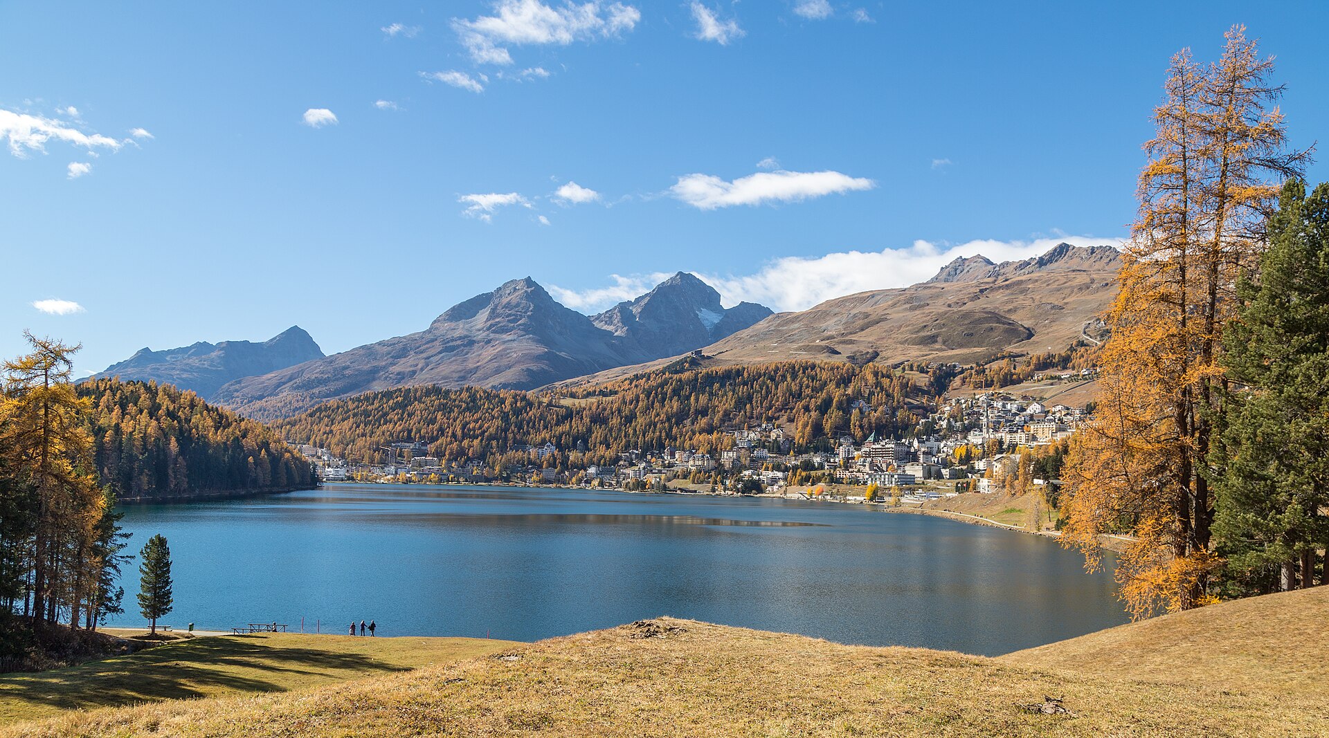
A flat lake loop through a famous resort, with the Segantini museum on the way.
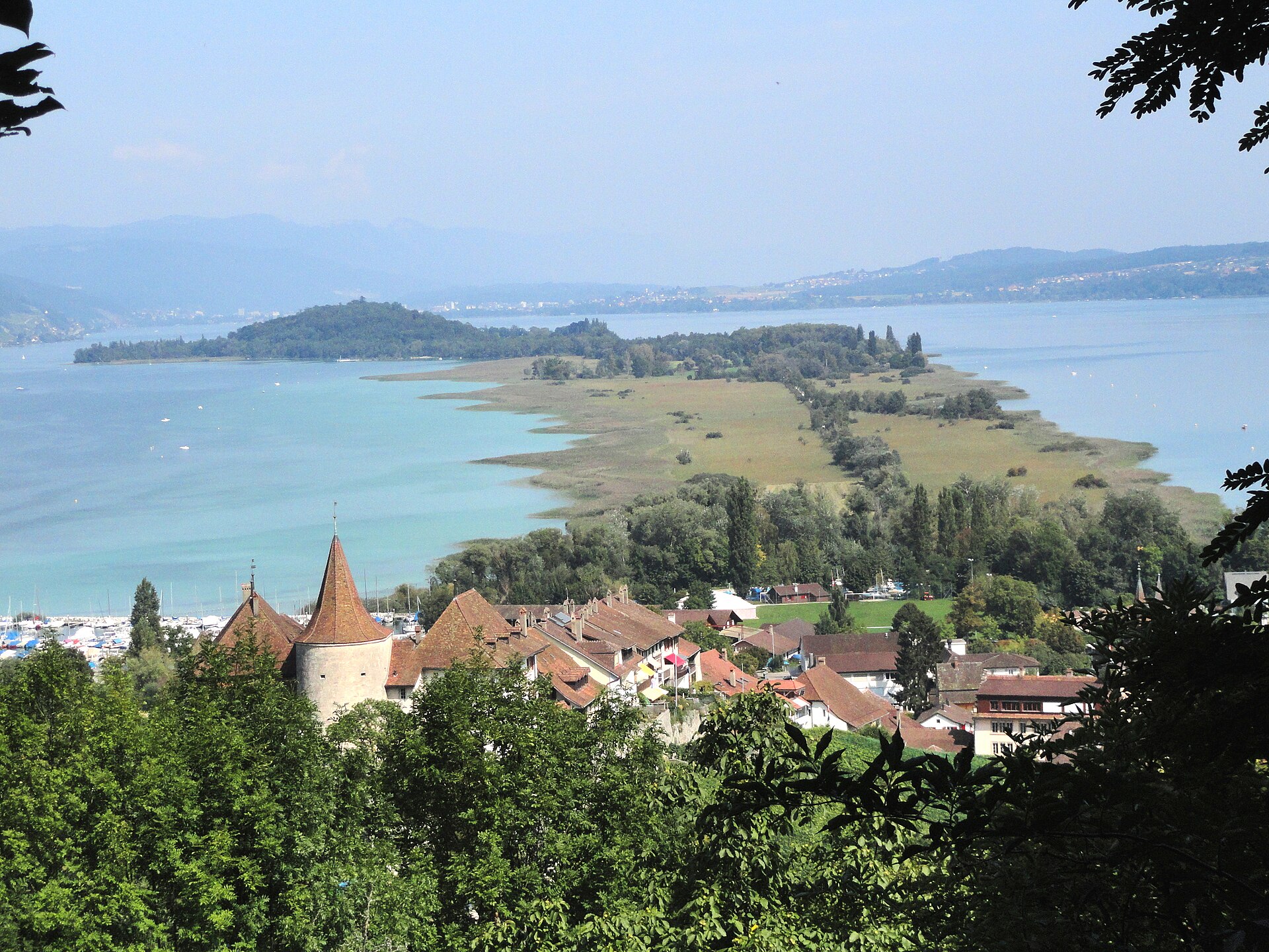
A flat walk through reeds and meadow to St. Peter's Island on Lake Biel, where Rousseau spent his self-described happiest weeks.
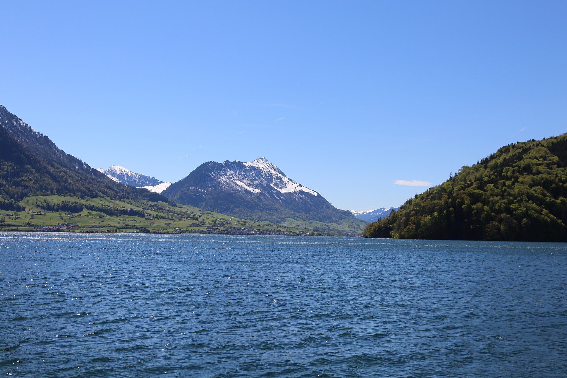
A short summit stroll on the Stanserhorn, reached by the open-top CabriO cable car, with Lake Lucerne and the Bernese Alps in view.
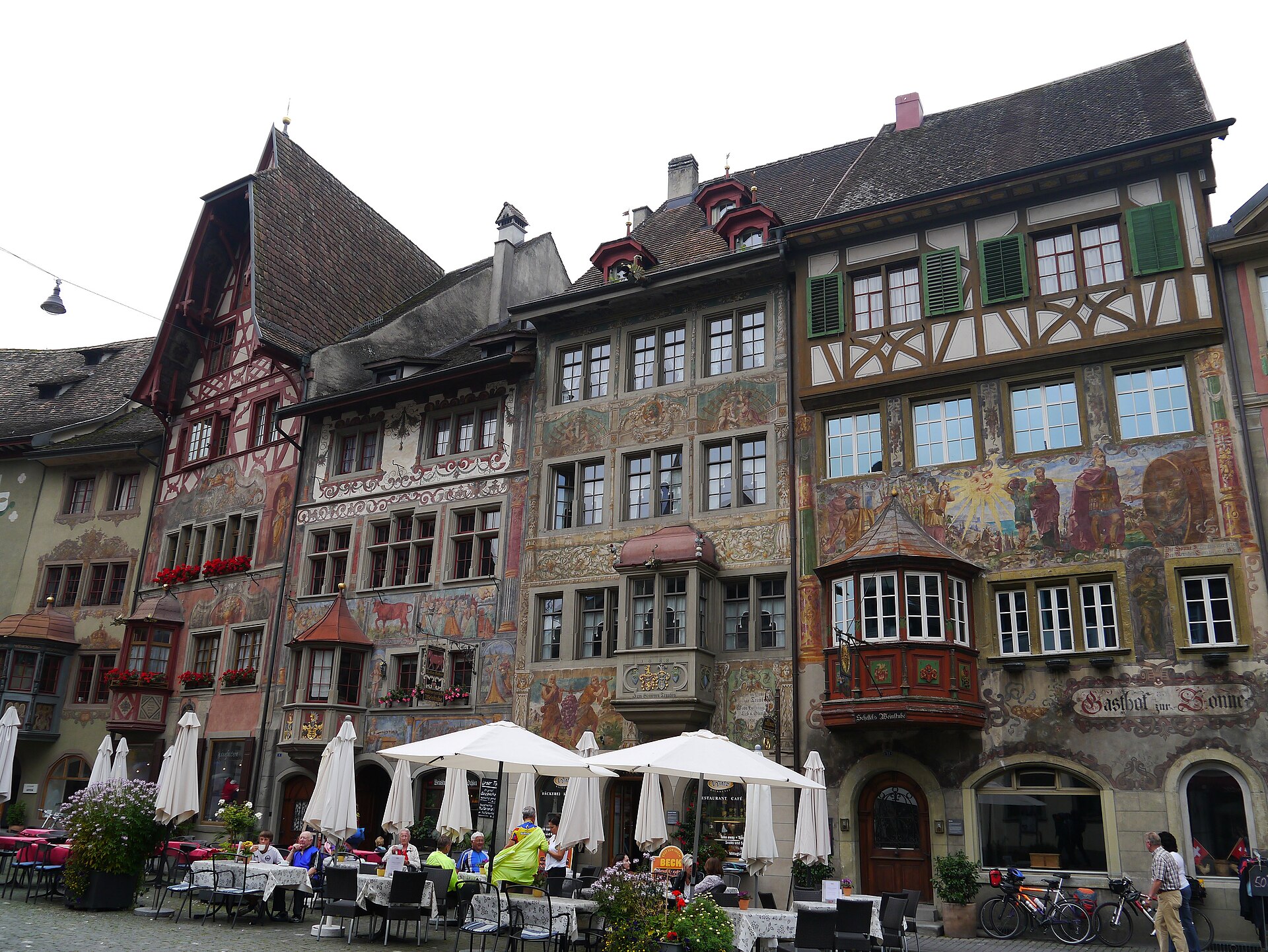
A town of painted houses on the Rhine, and a castle above with a view of the river.
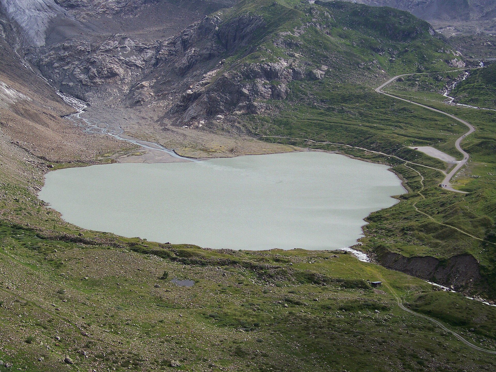
A short, level walk from the Susten pass road to a glacial lake below the retreating Steingletscher ice tongue.
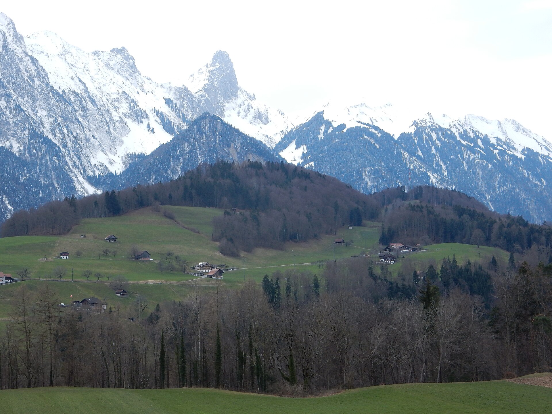
An 8 km walk along a limestone summit ridge above Lake Thun, down to the quiet Oberstockensee.
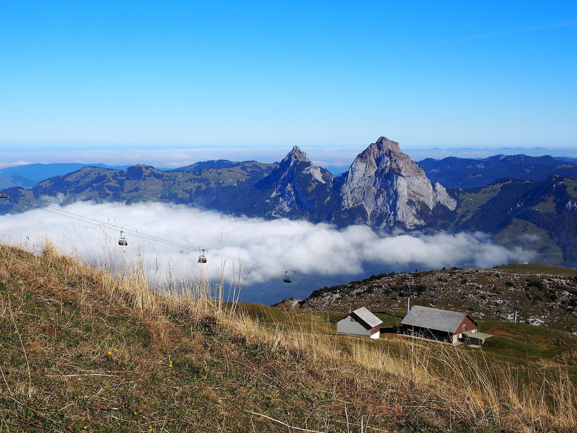
Ride the steepest funicular in the world, then walk a ridge above two lakes.
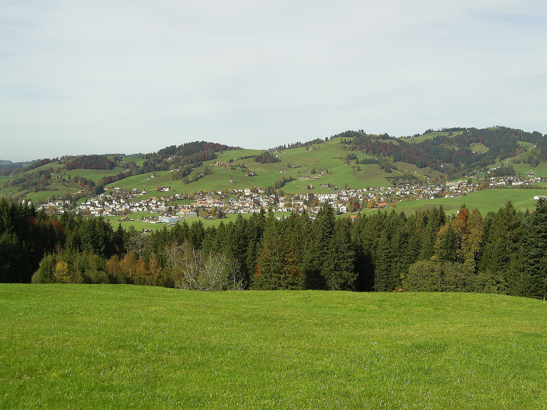
A pass above Gais where the Appenzellers won a famous battle in 1405.
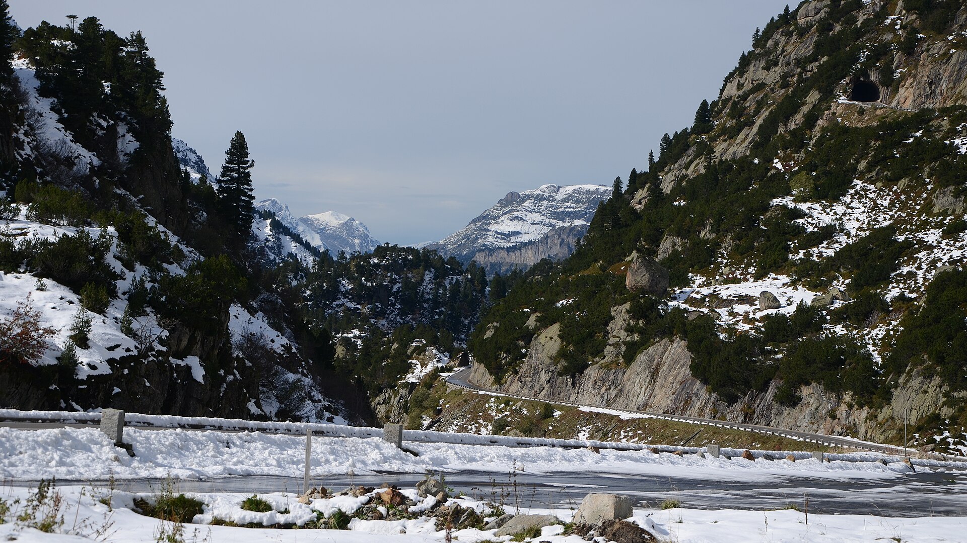
A legendary cliffside balcony hike exploring the formidable vertical limestone walls of the Gadmerfluh near Susten Pass. Tälli is home to Switzerland's very first official via ferrata (built in 1993). The trail traverses engineered rock ledges, grassy high terraces, and dramatic cliff balconies directly beneath towering 500-meter vertical limestone walls.
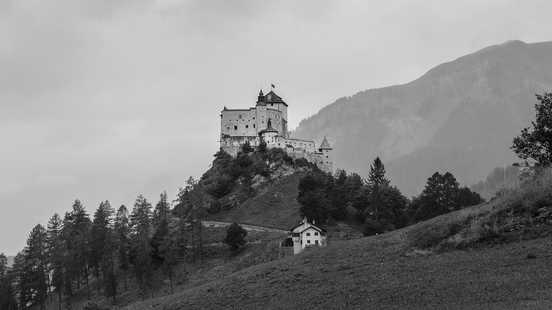
A cultural meadow walk from Scuol past the white hilltop fortress of Tarasp Castle to a small forest lake with a bathing beach.
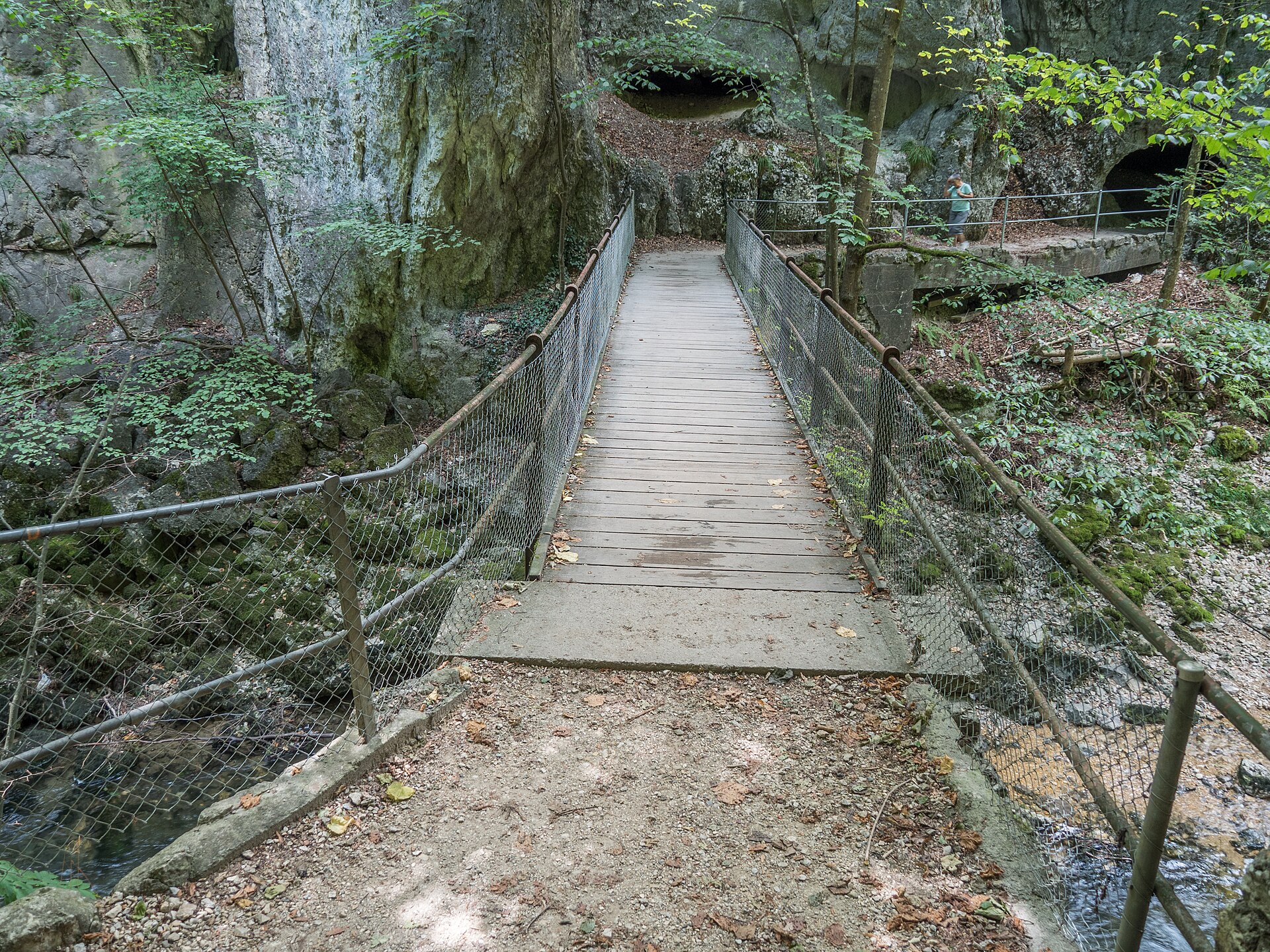
A narrow limestone gorge with a walkway above the Schüss river.
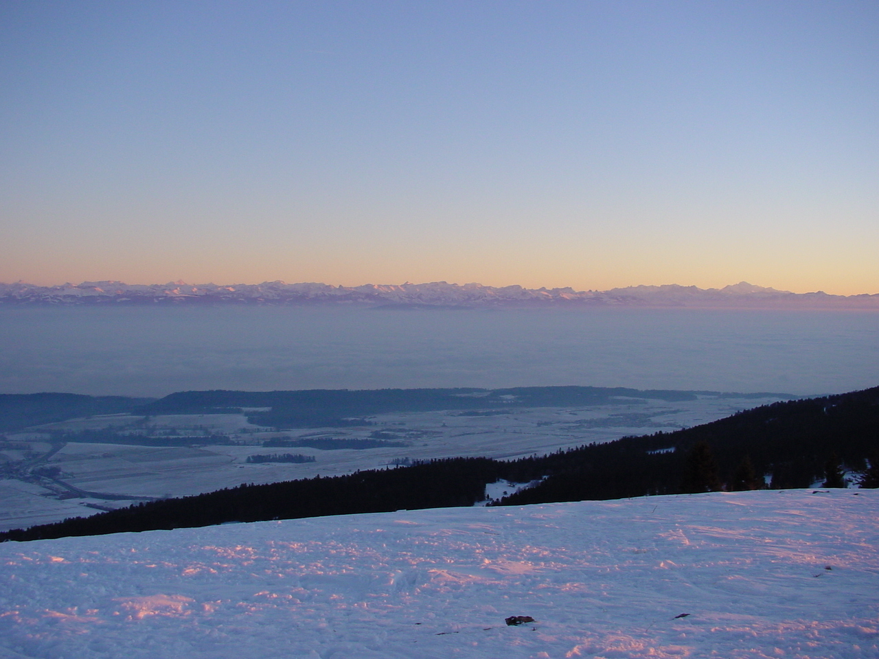
A Jura pass with a view of the Alps and a summit with a mountain restaurant.
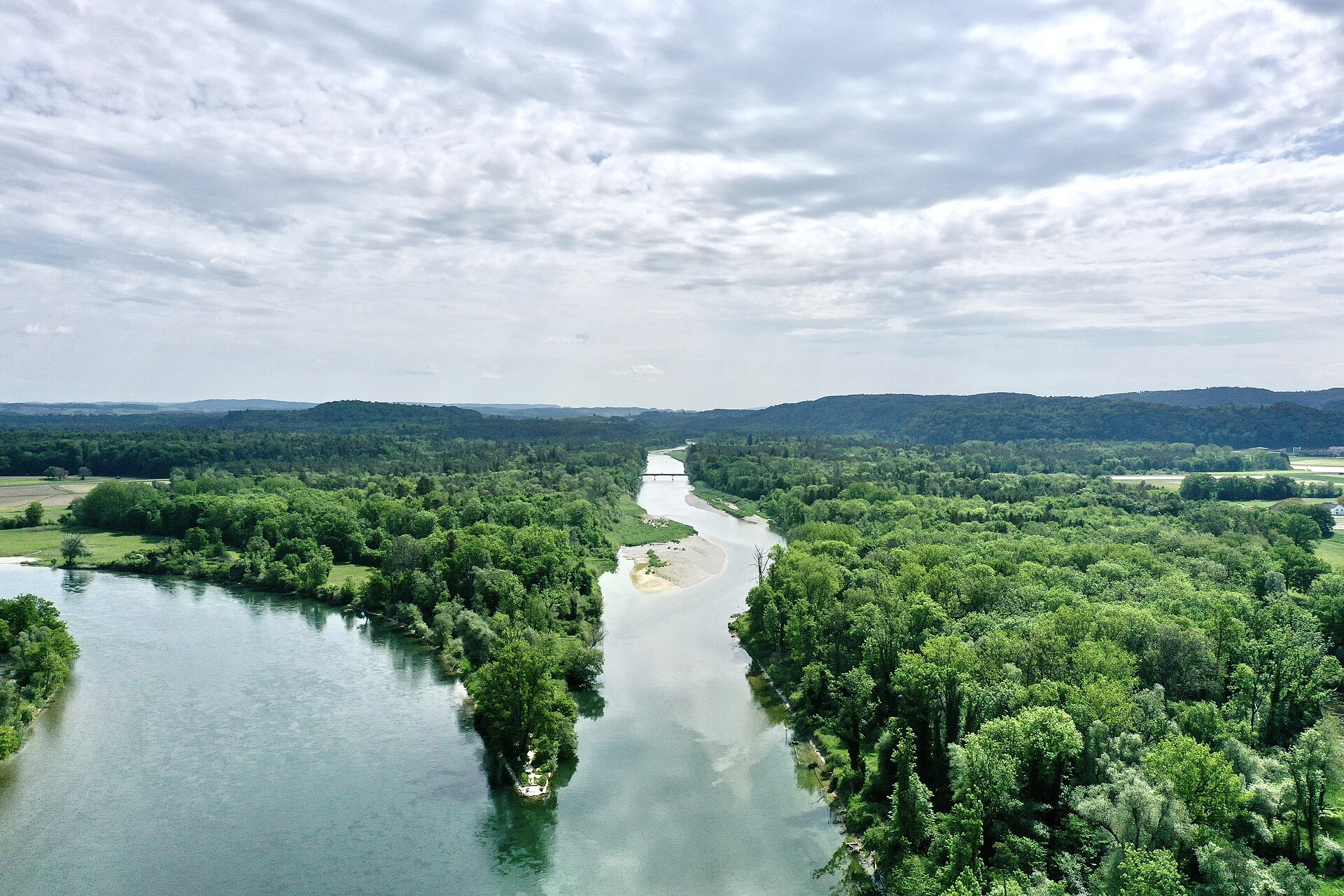
The last big river floodplain in the Swiss Plateau, where the Thur meets the Rhine.
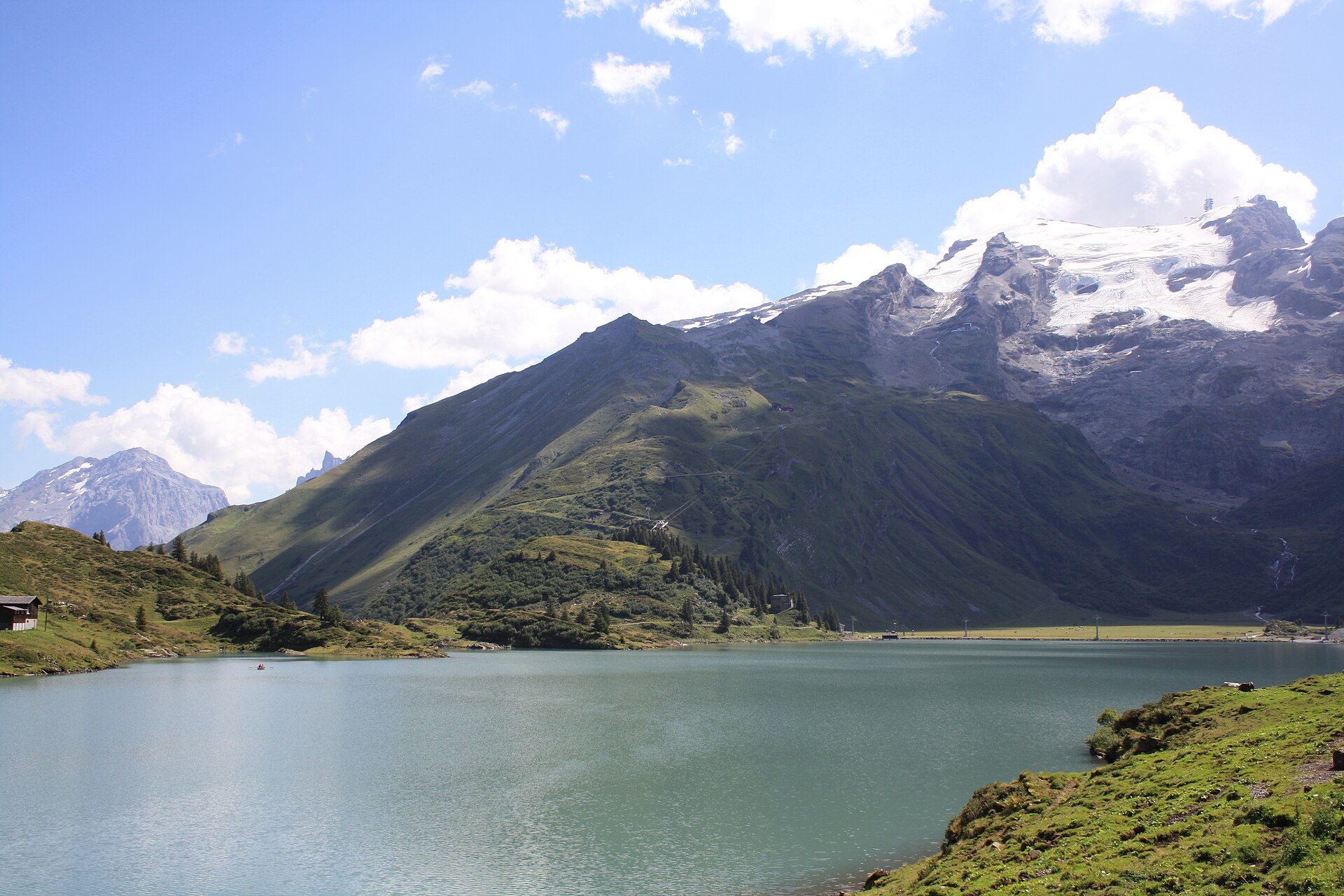
A world-class high-alpine experience combining the thrill of Mount Titlis (3,020 m)—home to Europe's highest suspension bridge (Titlis Cliff Walk) and the Titlis Rotair revolving cable car—with a peaceful, scenic panorama loop around the emerald-blue waters of Lake Trübsee (Trübsee).
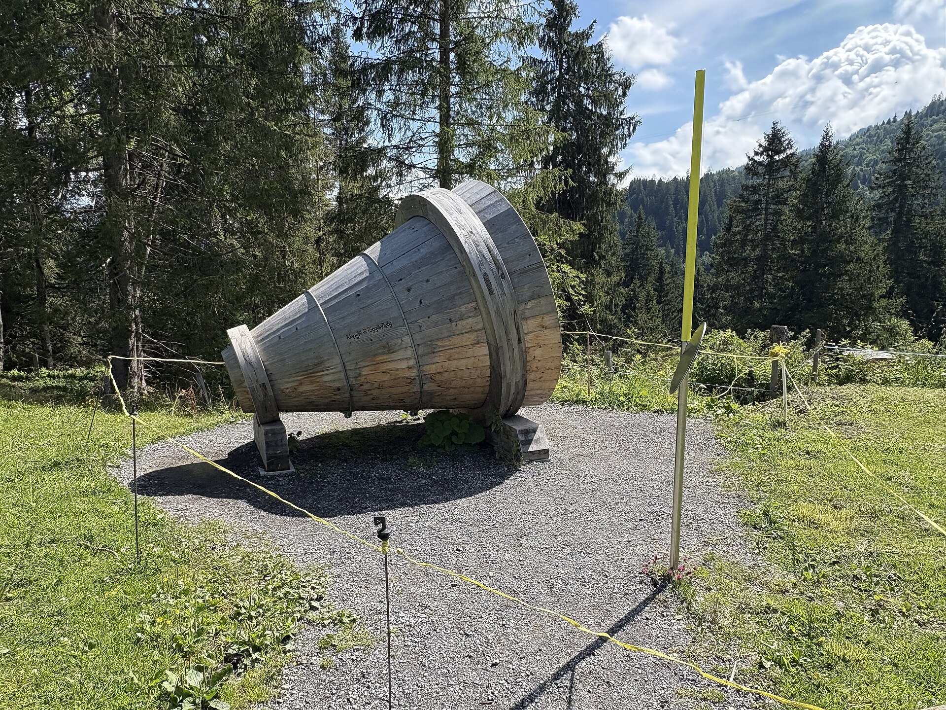
A walking path with instruments to play and a wall of limestone peaks above.
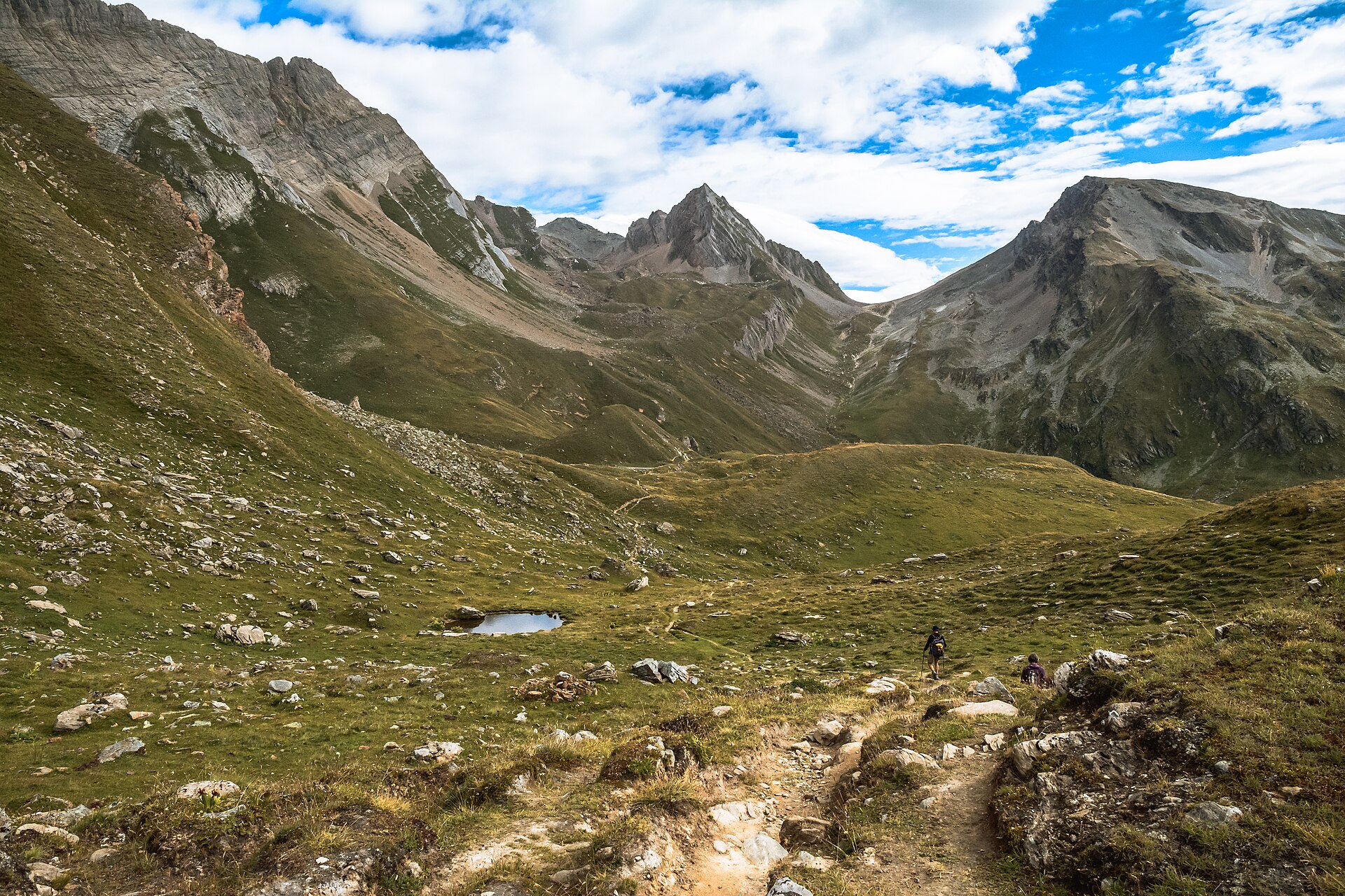
A majestic high-alpine panorama hike soaring nearly 3,000 meters above the thermal spa resort of Leukerbad in Valais. Starting from the Rinderhütte cable car middle station (2,313 m), the trail winds steeply up wide alpine ridges to the rocky summit cross of Torrenthorn (2,997 m), offering an incomparable 360-degree panorama of over 20 four-thousand-meter Valais summits, including the Weisshorn, Matterhorn, Mont Blanc, and Bietschhorn.

A short, easy walk to a small lake among the polished granite and reservoirs of the stark Grimsel pass landscape.
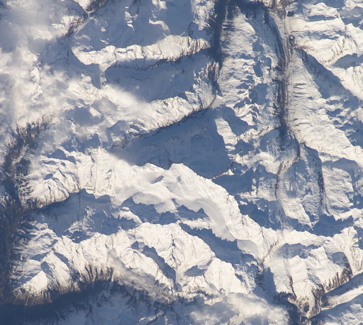
One of the most thrilling high-alpine suspension bridge hikes in Switzerland. Suspended 100 meters above the roaring meltwater gorge of the Trift Glacier, the 170-meter-long Trift Bridge (Triftbrücke)—modeled after Nepalese rope bridges—offers heart-pounding views over a brilliant turquoise glacial lake and the retreating Trift Glacier ice tongue.
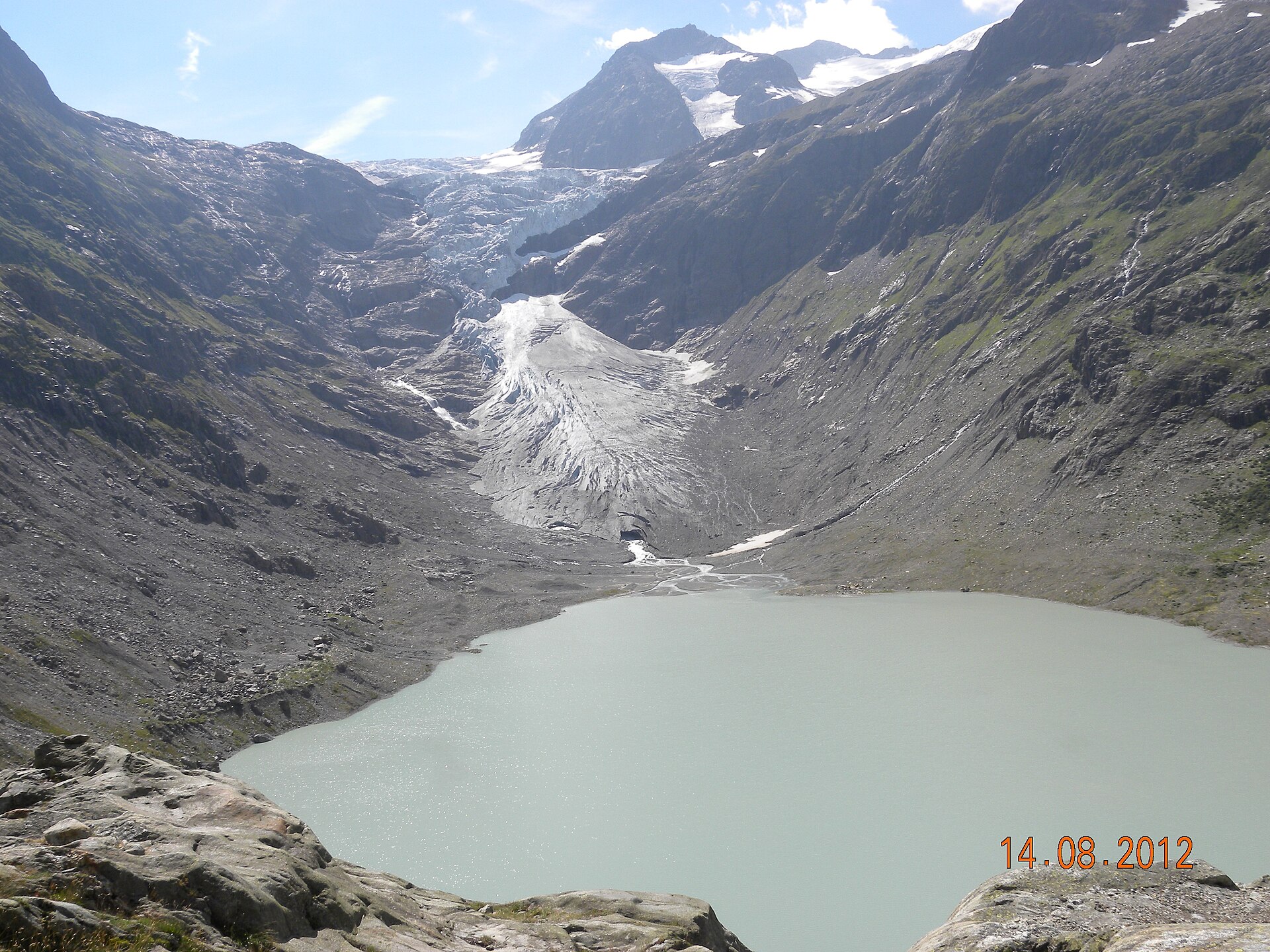
A long hut approach past a famous suspension bridge, with steep sections and chains.
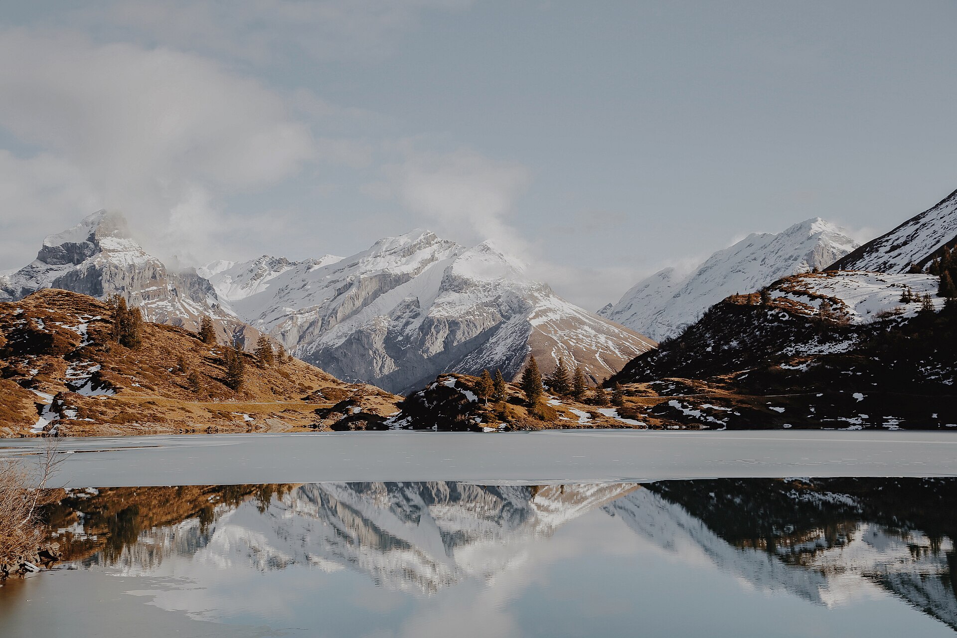
A lake loop above Engelberg, with the Titlis glaciers in the background.
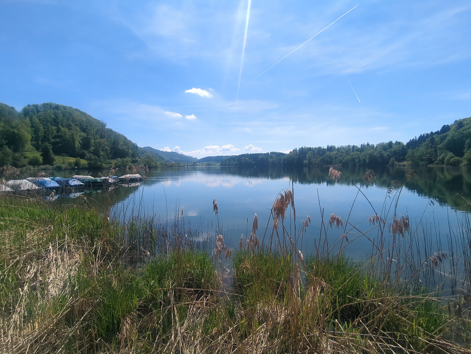
A flat loop of a small moorland lake below the Albis ridge south of Zurich, through reed beds with a quiet swimming spot.
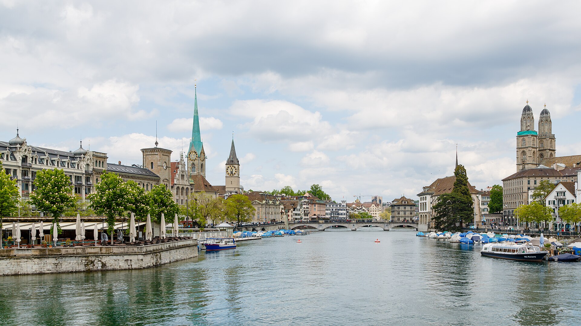
An easy 6 km ridge walk on Zurich's local mountain, with a scale model of the solar system laid out in the trees.
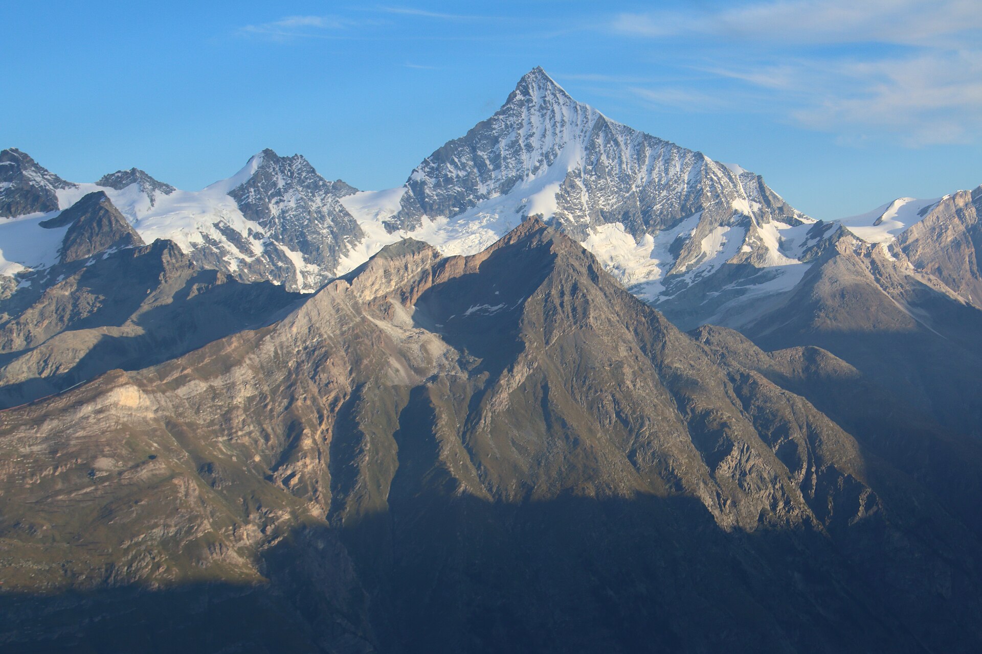
A legendary high-alpine panorama hike in Zermatt descending from the majestic Unterrothorn summit at 3,103 meters. Featuring sweeping views of 38 four-thousand-meter peaks, the trail winds past crystal-clear alpine tarns—most notably **Stellisee**, world-famous for its iconic, mirror-like reflection of the Matterhorn—before leading down through alpine meadows to Blauherd and Sunnegga.
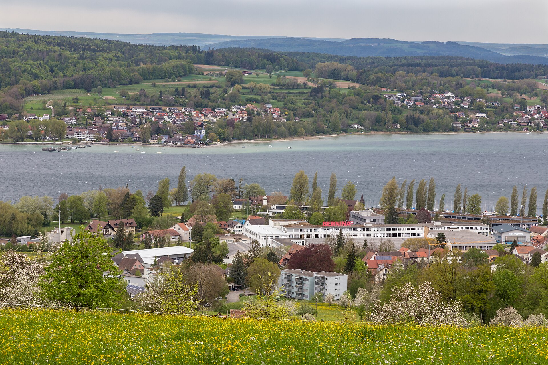
A quiet shore path on the western arm of Lake Constance, with half-timbered towns.
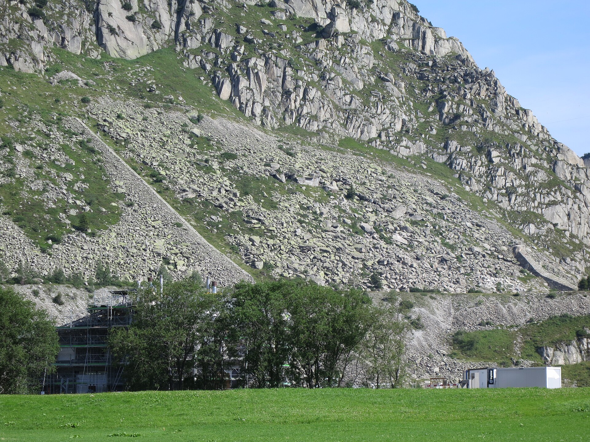
A magnificent and historic high-altitude traverse along the sunny northern slopes of the Urseren Valley (Urserntal). Connecting the Furka Pass region to the Oberalp Pass, the Urschner Höhenweg meanders high above the infant Reuss river, offering sweeping panoramic views of the Gotthard massif, historic mule tracks, and alpine pastures rich in wildflowers and grazing cattle.
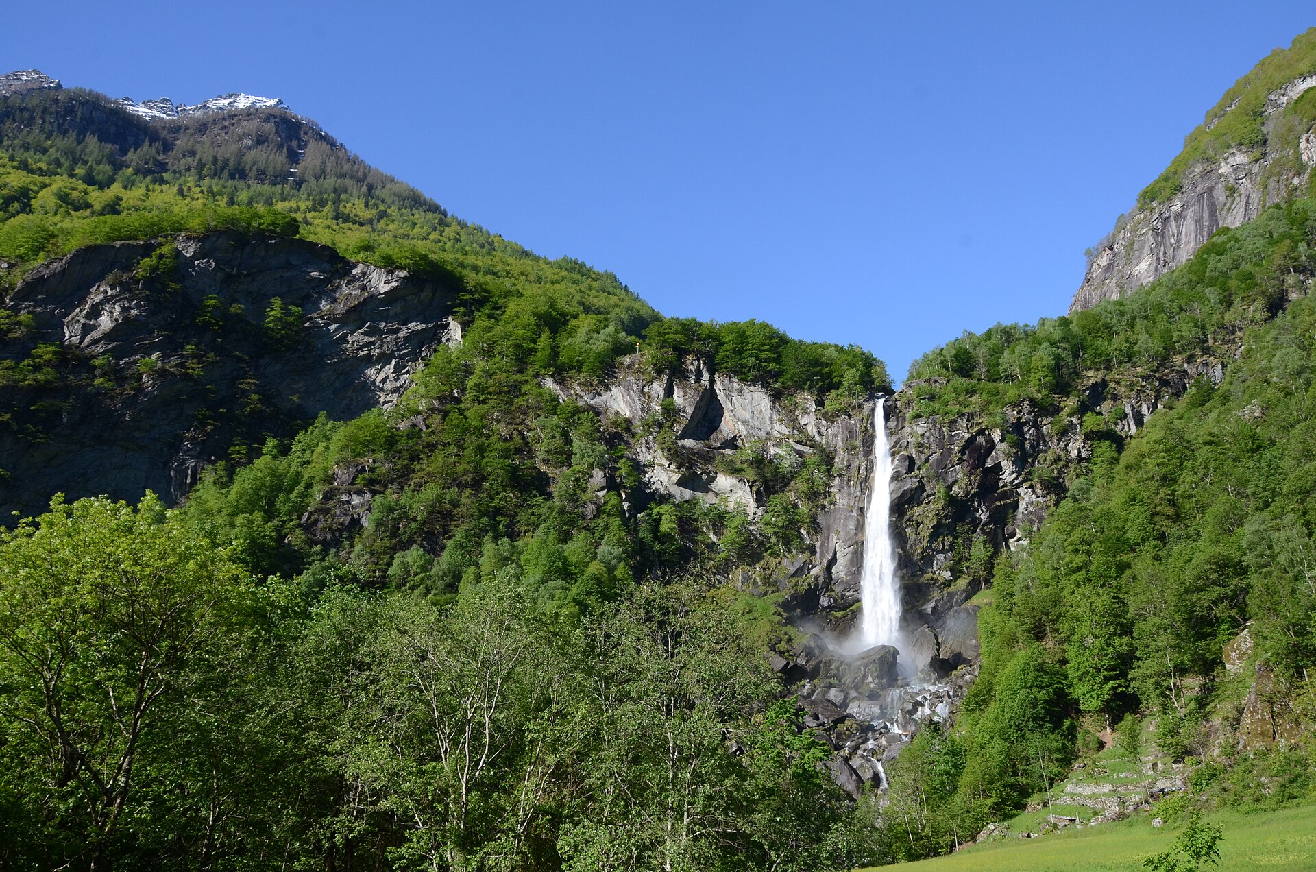
A granite valley of stone huts under boulders, and a 108-metre waterfall.
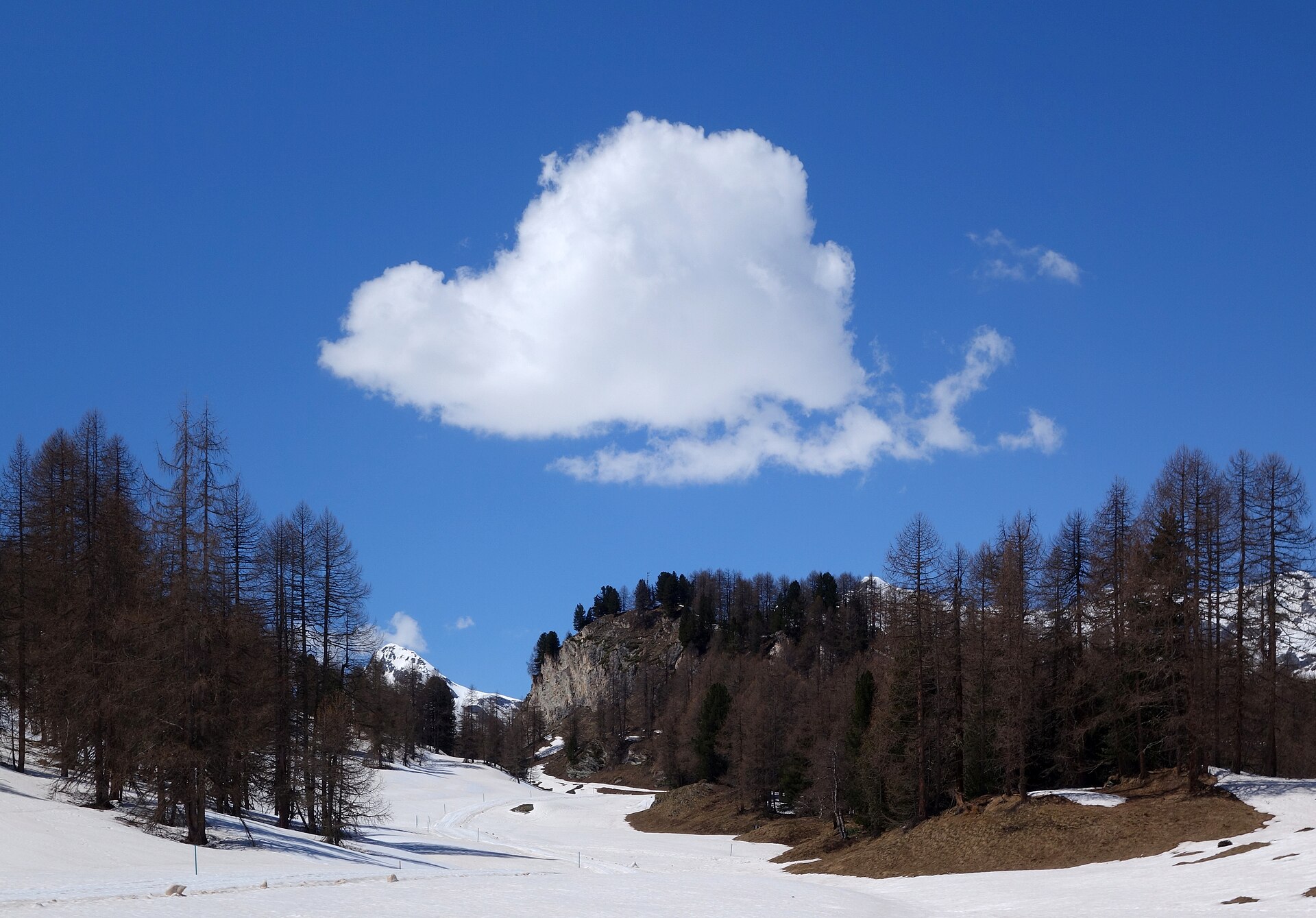
A car-free valley of larch and meadow, with horse carriages and a small hamlet at the end.
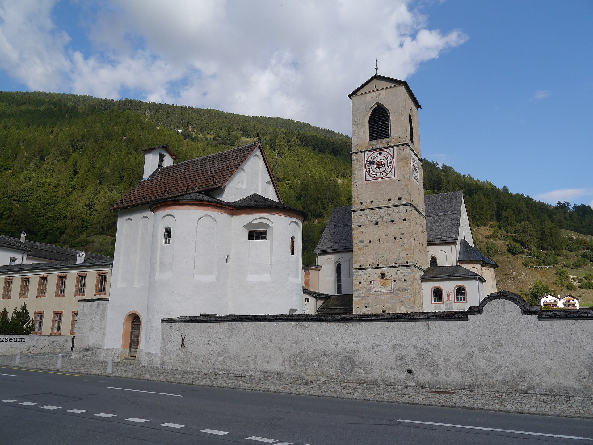
A quiet Romansh valley and a UNESCO convent with frescoes from around the year 800.
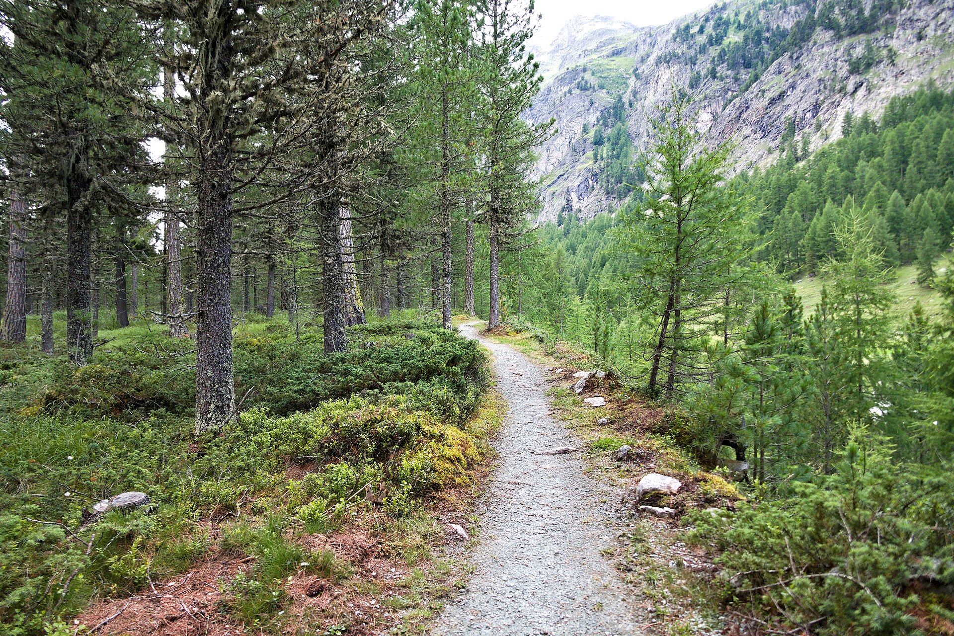
A flat valley, a glacier at the end, and a horse carriage if your legs say no.
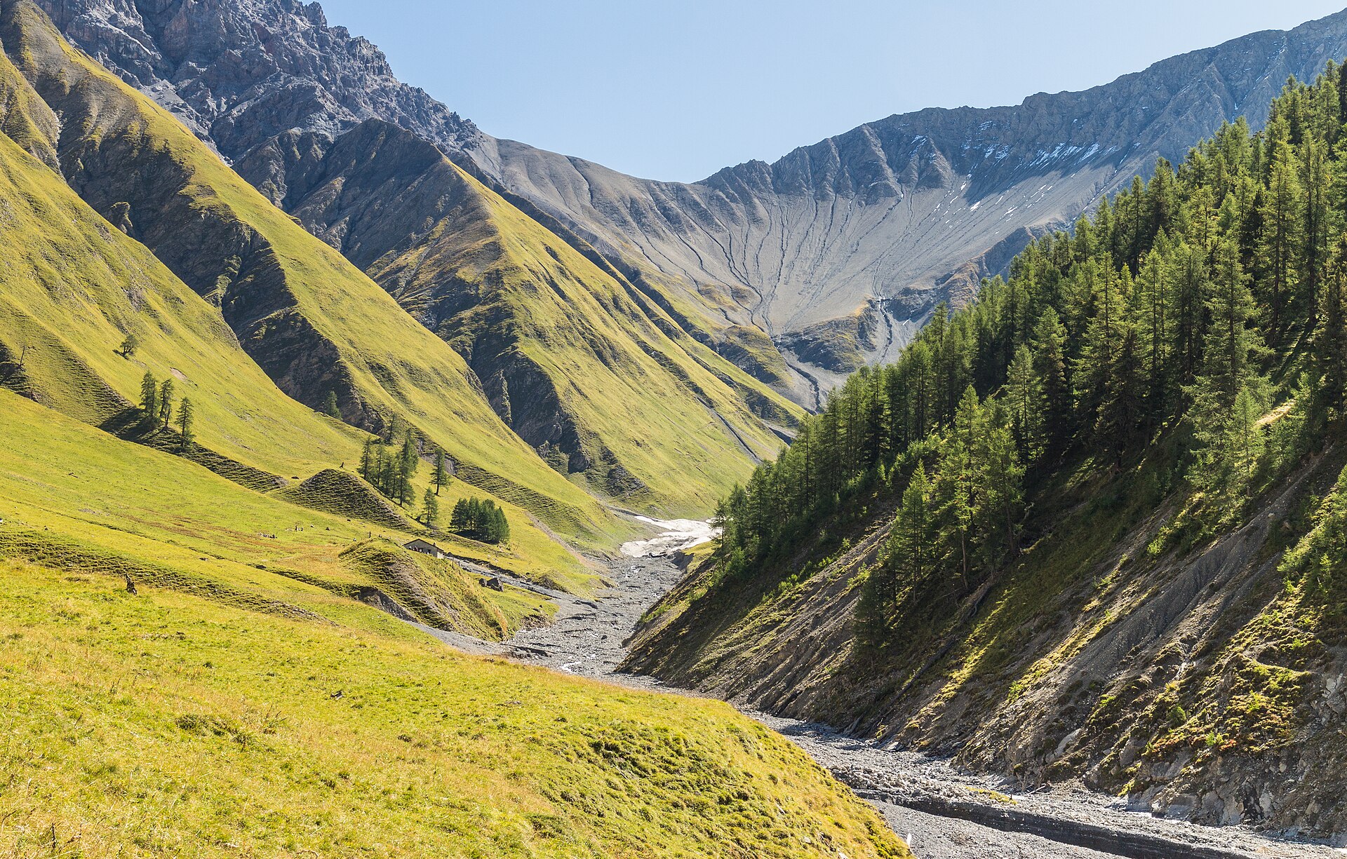
The best valley in Switzerland for watching ibex, chamois and red deer.
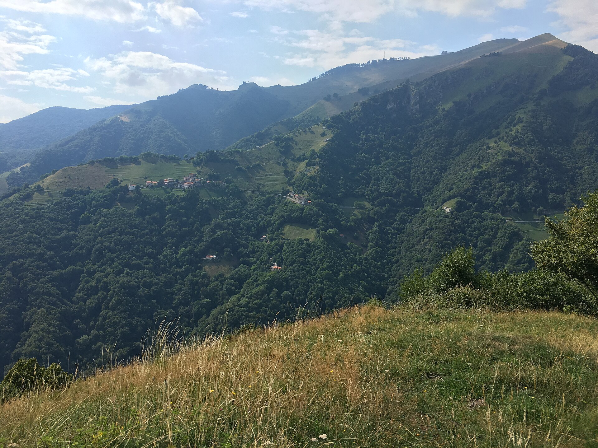
A hidden valley of stone villages, chestnut woods and old pastures.
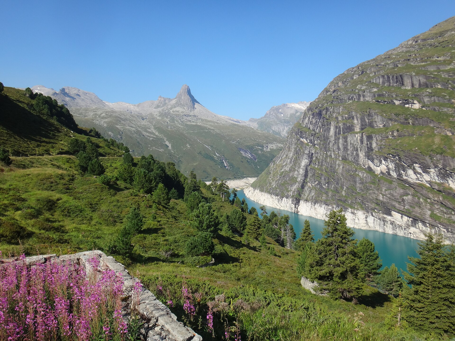
A thermal village with a famous bath, and a path up the valley to a reservoir under a pointed peak.
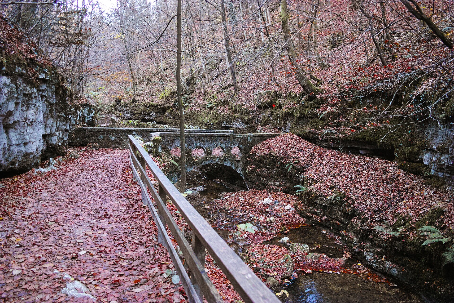
A quiet gorge behind a Baroque town, with a hermit's chapel at the end.
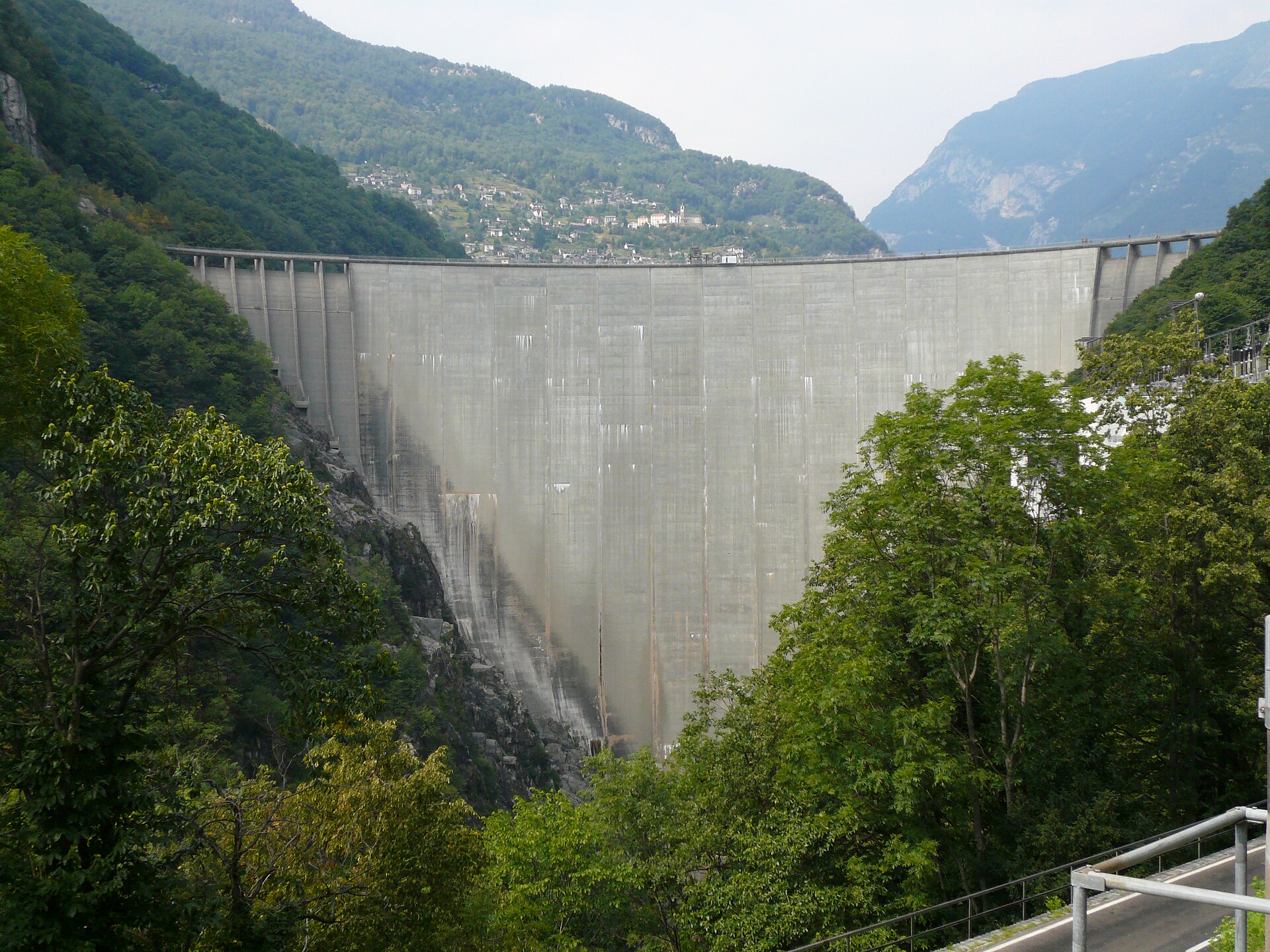
The dam in the James Bond film, and a lake path with a view of the dam wall.
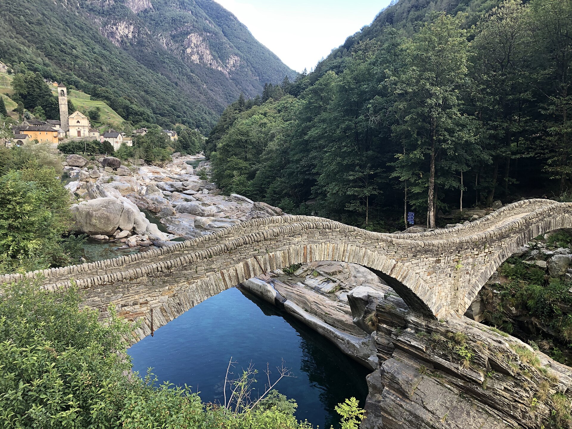
A world-famous and mesmerizing valley walk along the emerald-green waters of the Verzasca River (Val Verzasca) in Ticino. Starting from the iconic double-arched stone bridge of **Ponte dei Salti** in Lavertezzo, the historic mule track (Sentierone) winds along polished granite river boulders, crystal-clear swimming pools, and ancient chestnut groves, offering a deeply Mediterranean alpine experience.
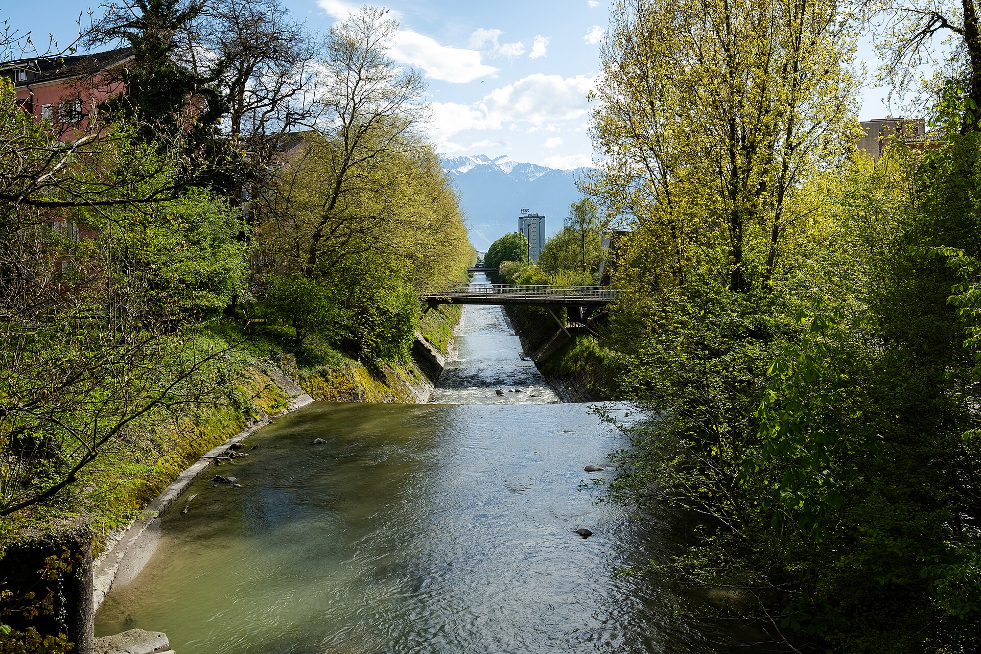
A flower-lined promenade between two Riviera towns, with statues and the Alps across the water.
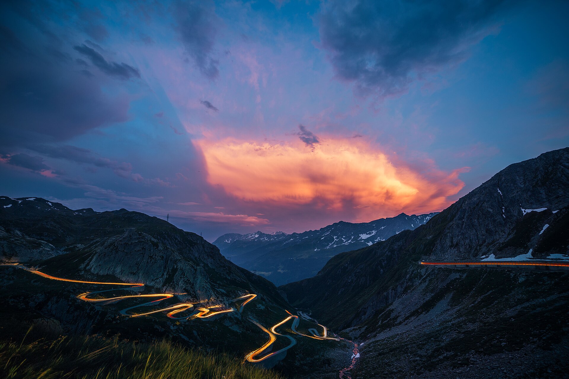
The old cobbled road in hairpin bends, the oldest way over the Gotthard.
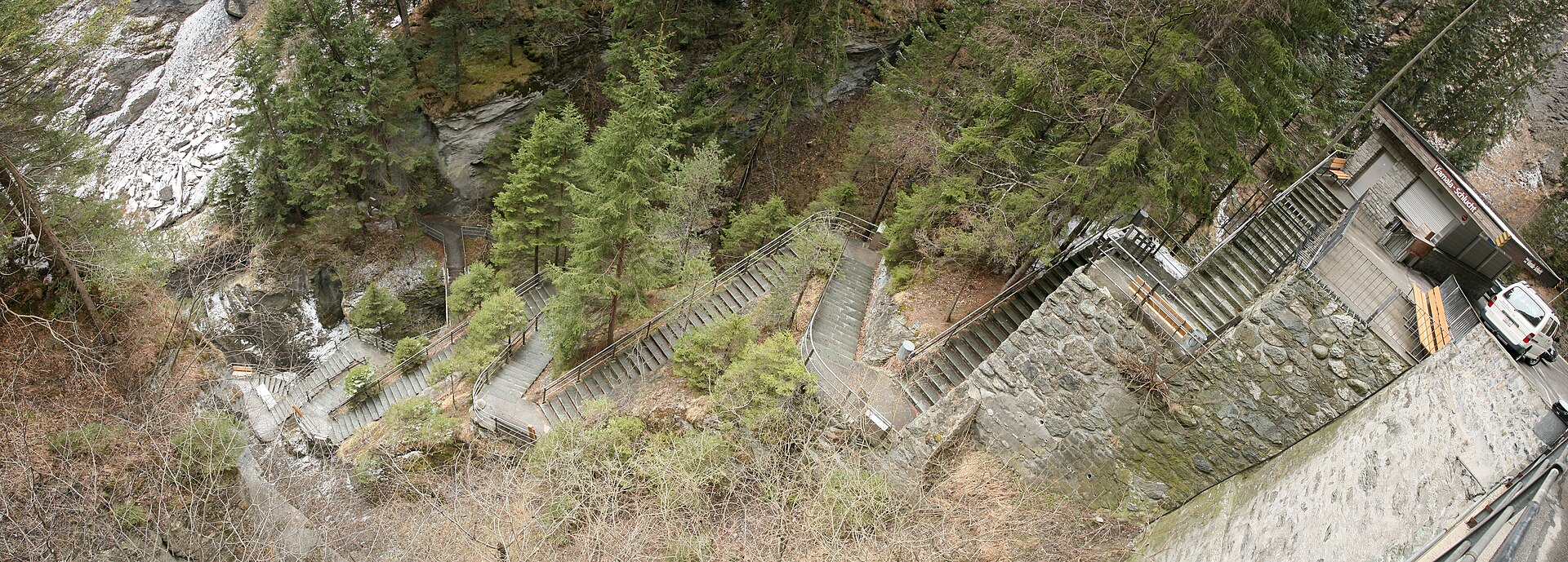
A gorge on the old Splügen road, ending at a church with a painted ceiling from the 12th century.
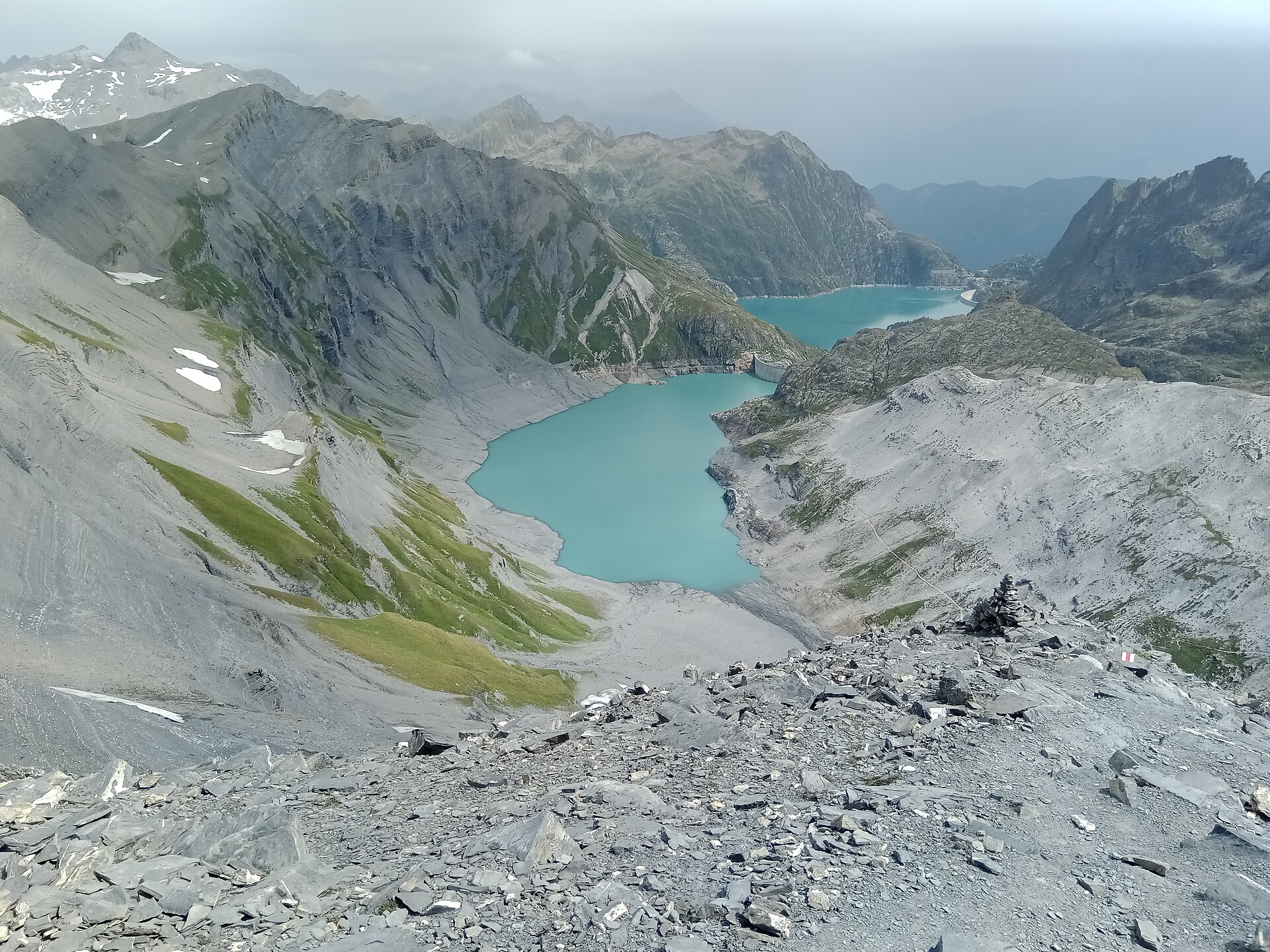
Footprints from 250 million years ago, above a turquoise dam lake.
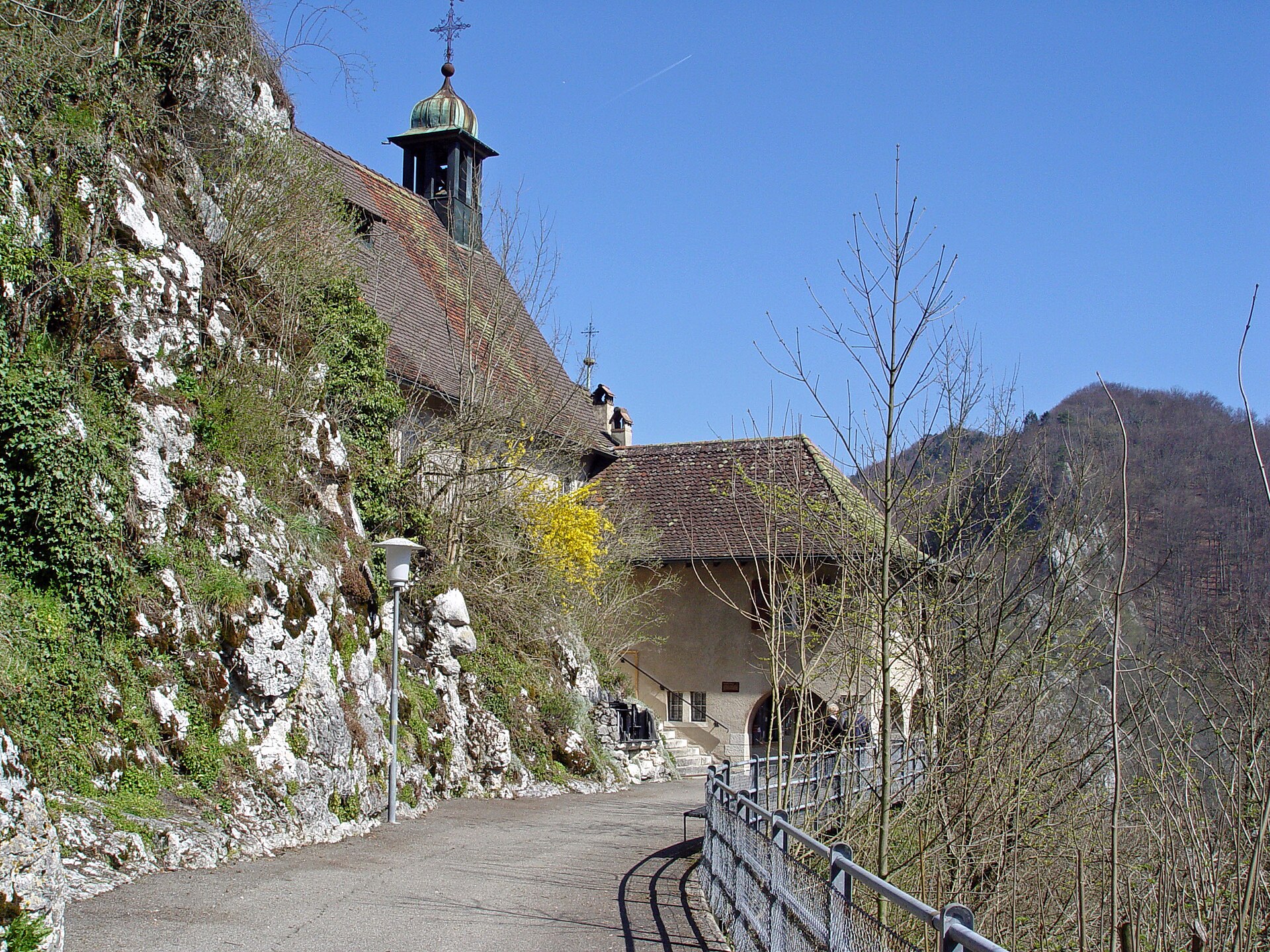
A short woodland walk from Delémont to a centuries-old pilgrimage chapel set against a cliff beside a ruined medieval castle.
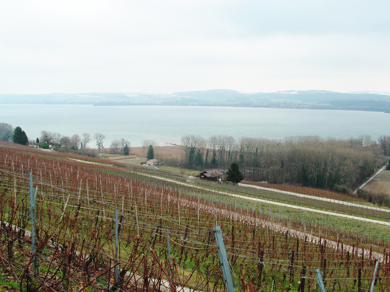
A walk from the walled town of Murten up through the Mont Vully vineyards, with three-lakes and Alpine views over the water.
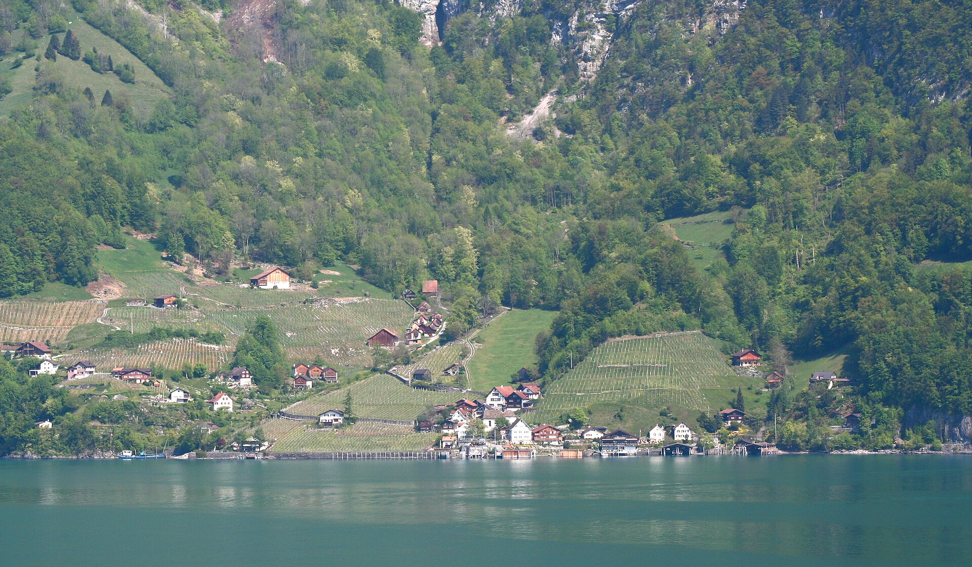
A uniquely Mediterranean-flavored lake shore hike along the sun-drenched southern banks of Lake Walen (Walensee). Starting from the car-free, traffic-free village of Quinten—famous for its microclimate where figs, kiwis, and palm trees thrive—the trail winds along engineered cliffside footpaths past cascading waterfalls and secluded pebble coves toward Betlis and the historic ruins of Strahlegg Castle.
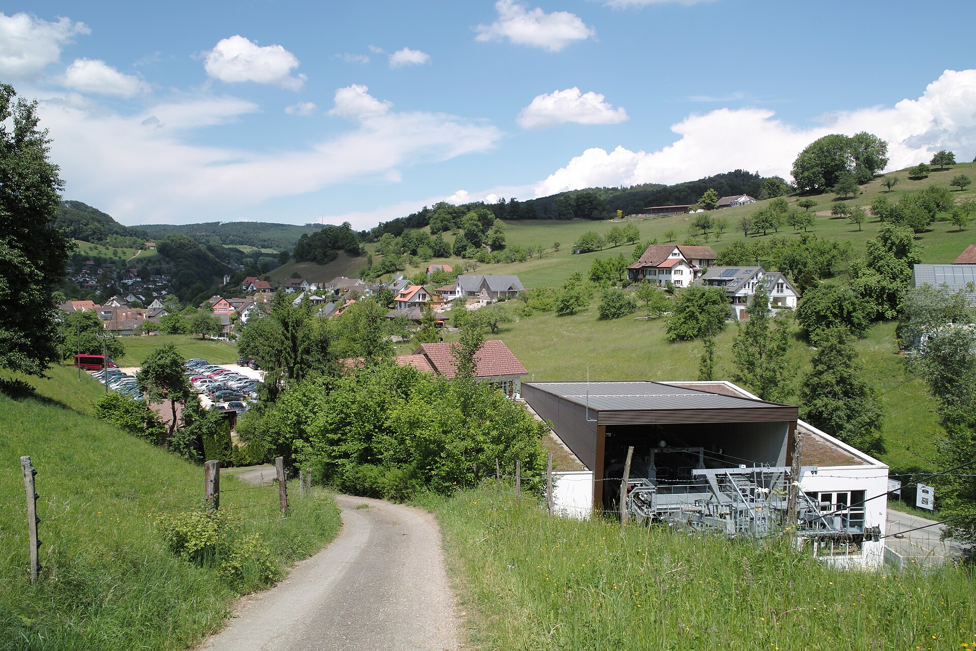
A gondola from the valley and a Jura ridge with a view to the Black Forest and the Alps.
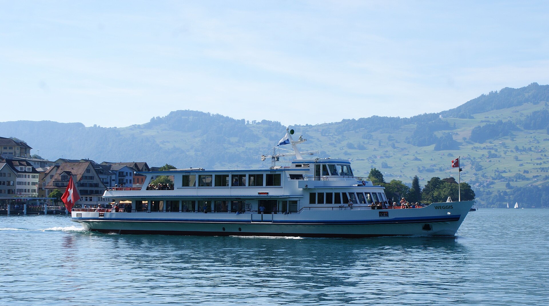
A short, flat shore path on the mild, palm-dotted Weggis riviera of Lake Lucerne, out to the wooded Hertenstein peninsula.
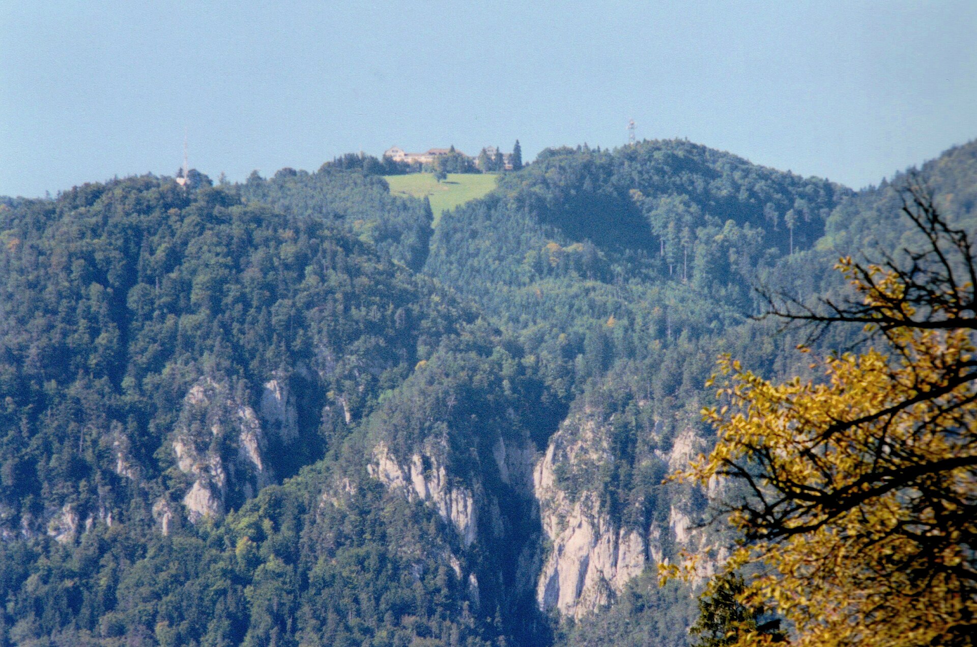
A sunny Jura ridge above the fog, with a view from the Alps to the Black Forest.
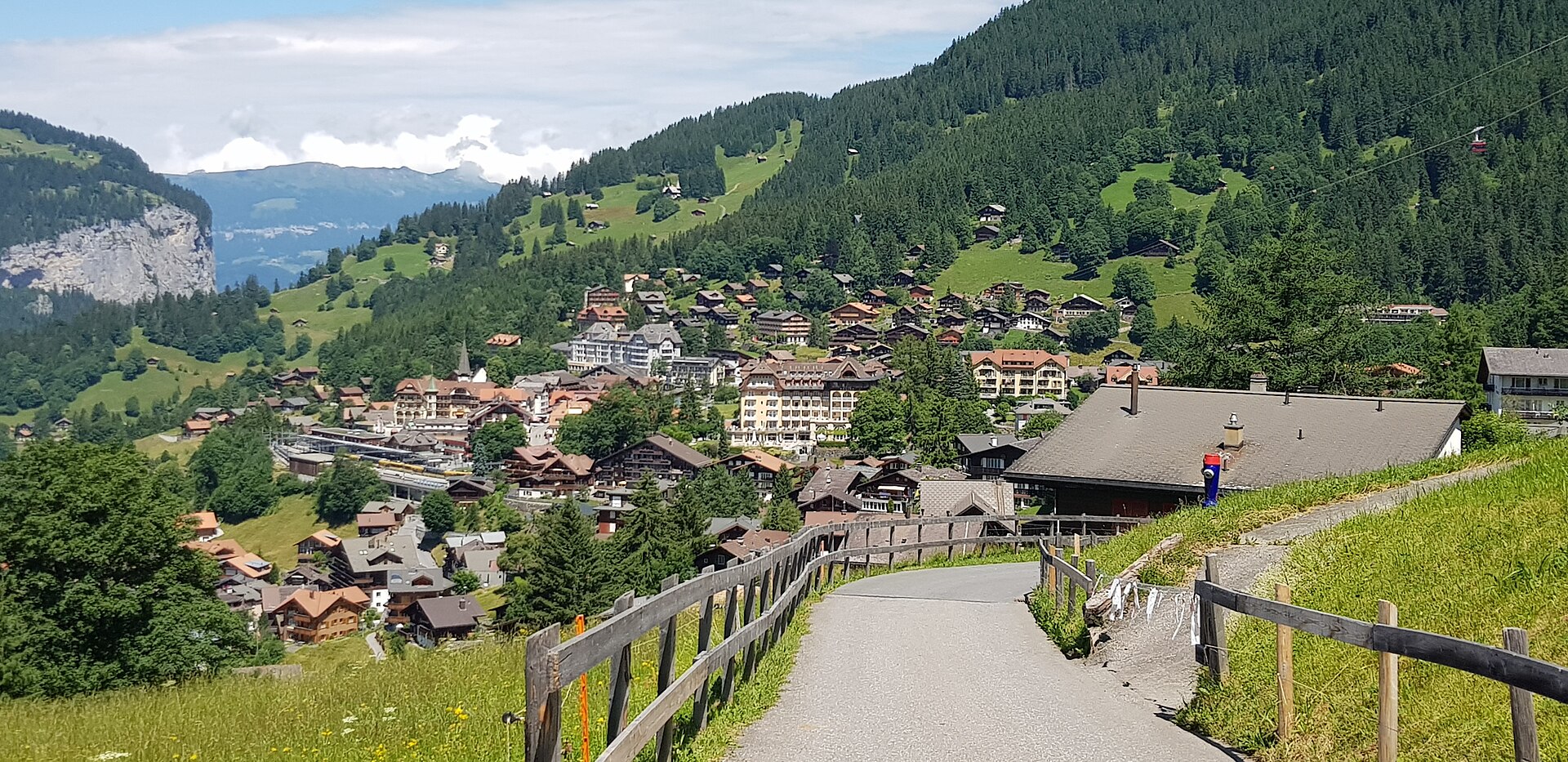
A legendary and immensely scenic alpine panorama walk connecting the car-free resort village of Wengen with the Männlichen ridge. Starting from the top station of the Wengen-Männlichen aerial cable car, the broad, gentle gravel trail meanders smoothly along pastoral alpine meadows directly facing the monumental north faces of the Eiger, Mönch, and Jungfrau.
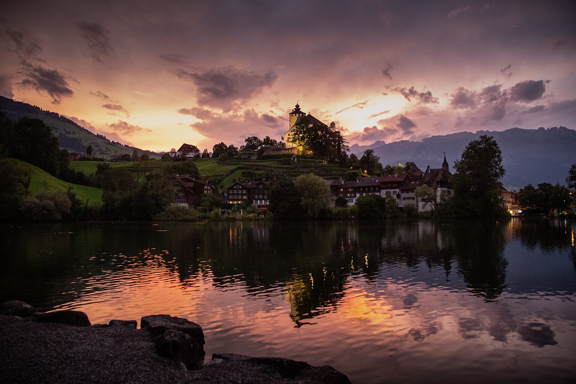
The smallest town in Switzerland, with a castle and a lake in the Rhine valley.
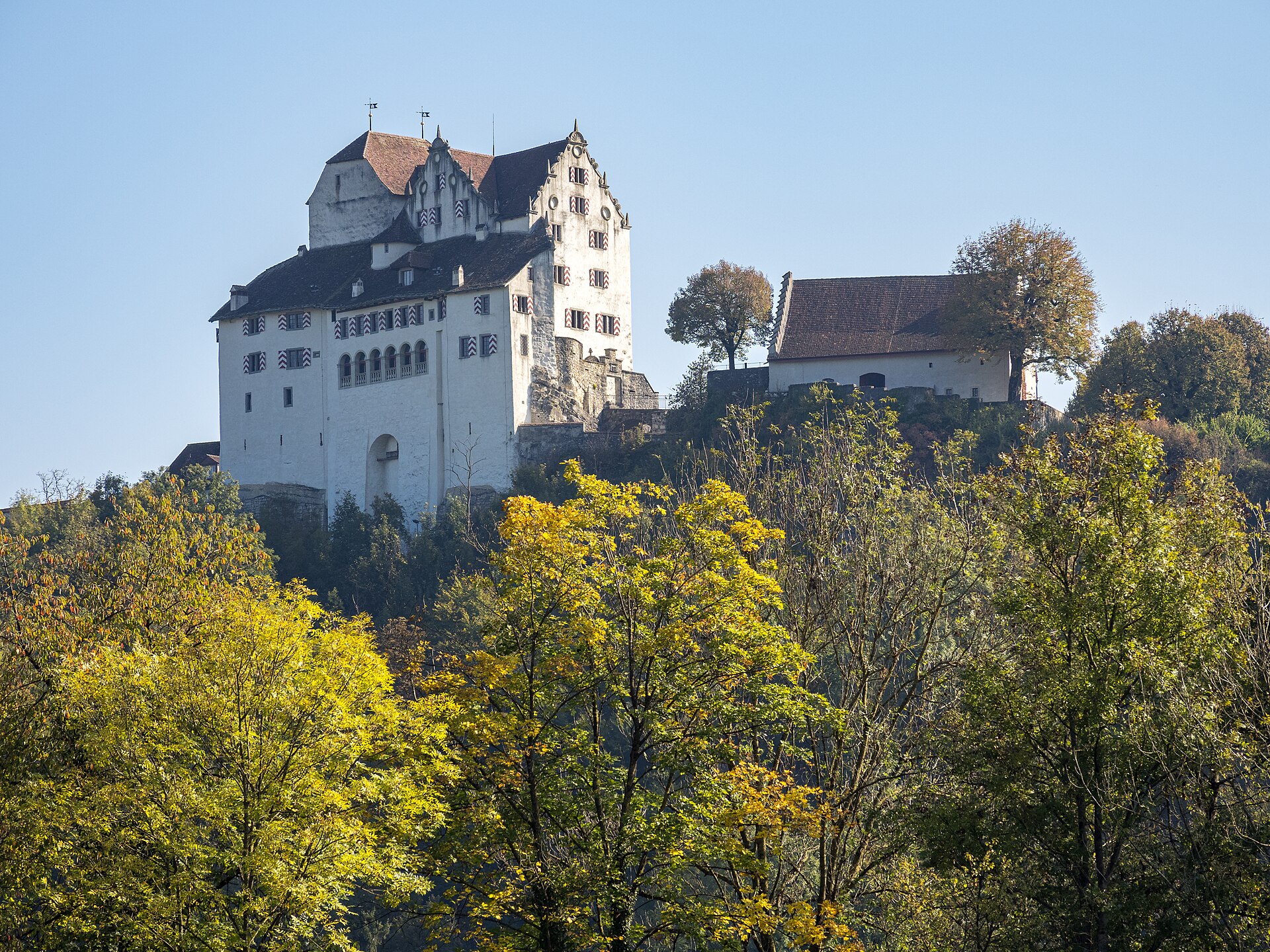
A castle with a rose garden and a river path in the Aargau.
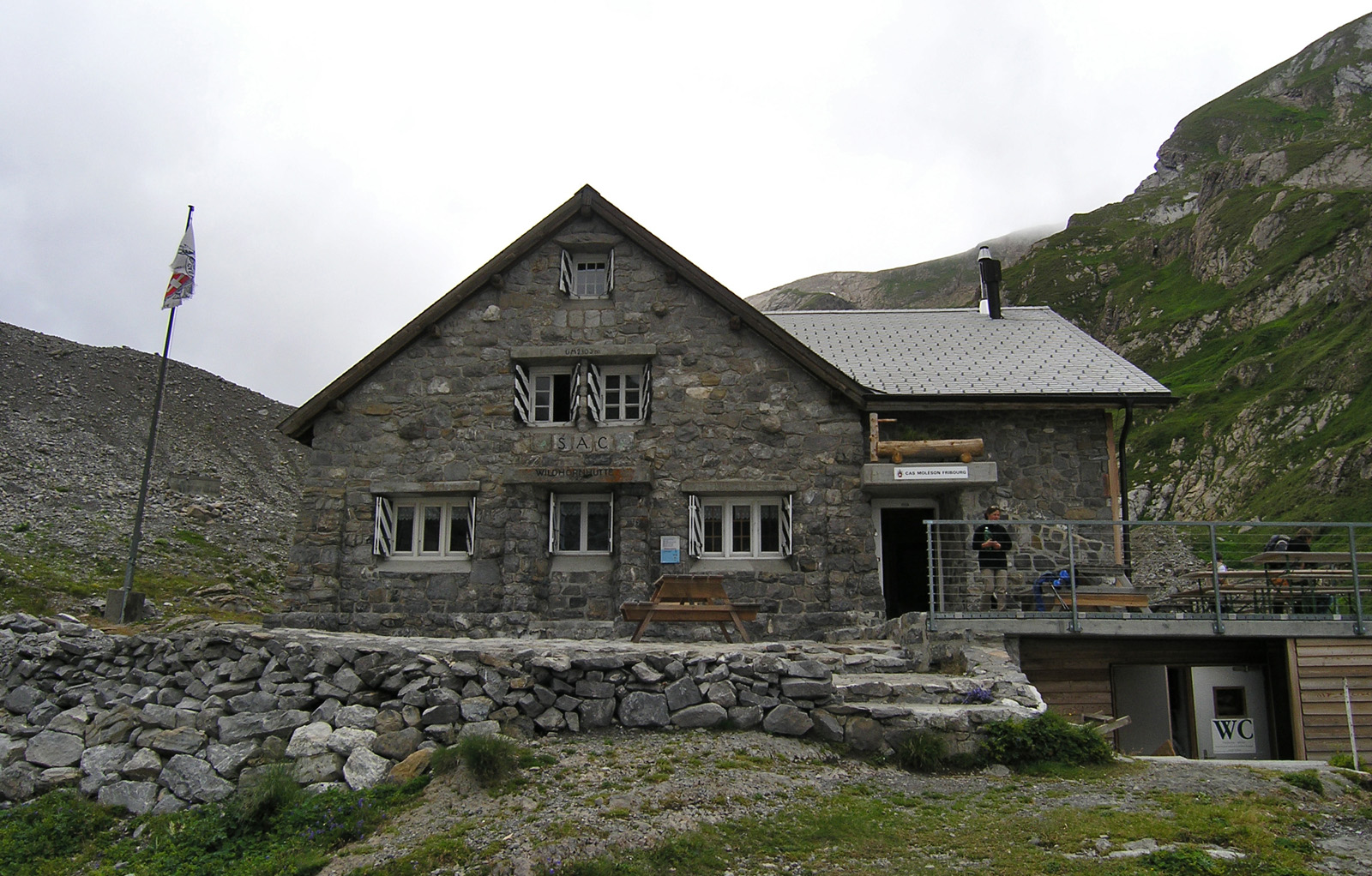
A mountain hut above a quiet valley, under the glaciers of the Wildhorn.
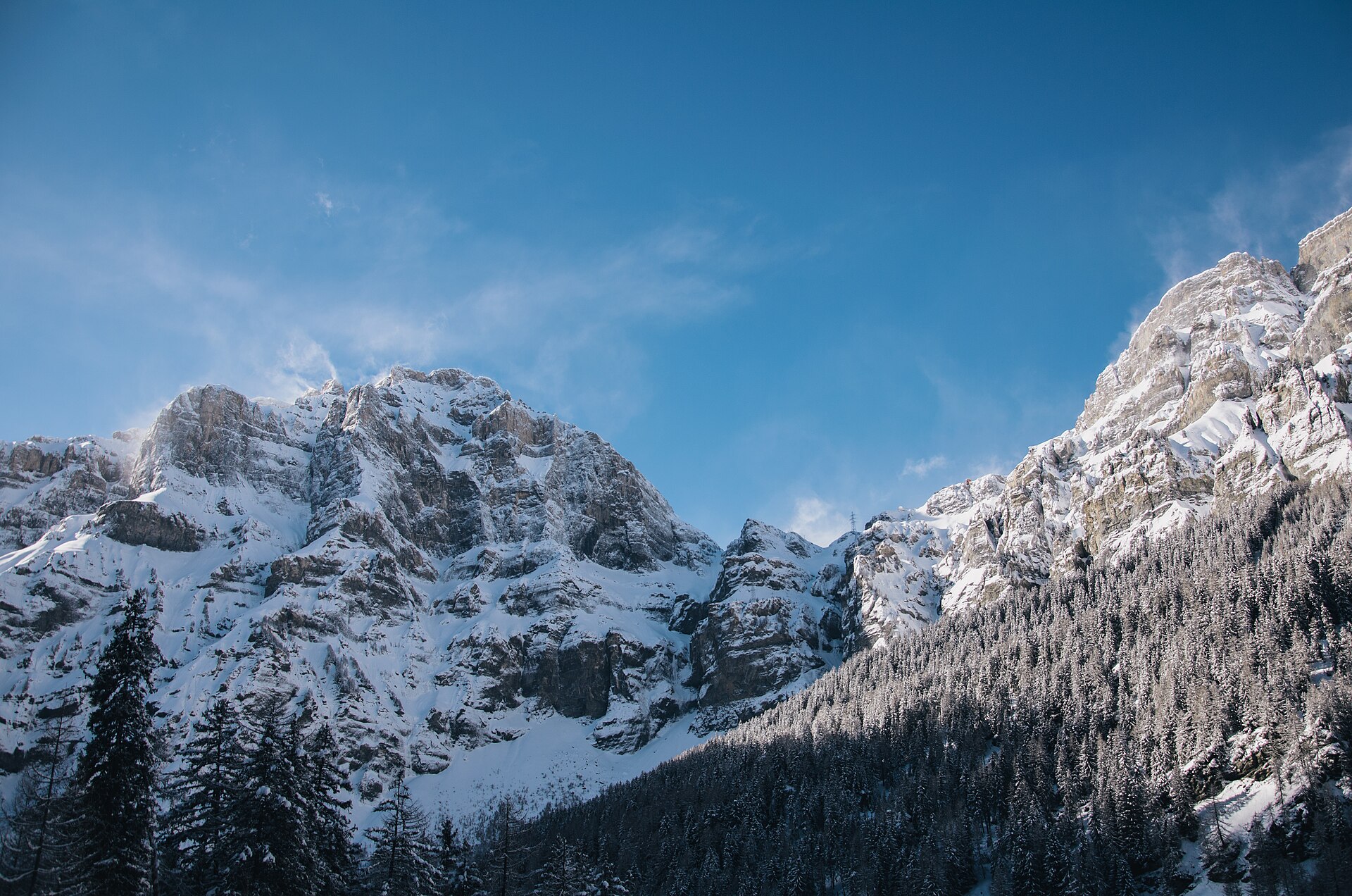
A legendary high-alpine trans-alpine crossing connecting the Bernese Oberland (Kandersteg) with Valais (Leukerbad) across the dramatic limestone plateau beneath the Wildstrubel massif. Passing the glistening Daubensee lake, crossing ancient glacier forefields, and descending the sheer vertical limestone cliffs of the historic Gemmi Pass via engineered rock galleries, this route is one of Switzerland's most celebrated heritage mountain crossings.
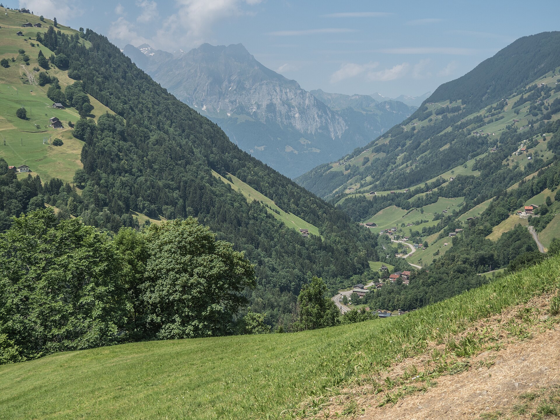
Walk the legend of William Tell, from the town square to his supposed birthplace.
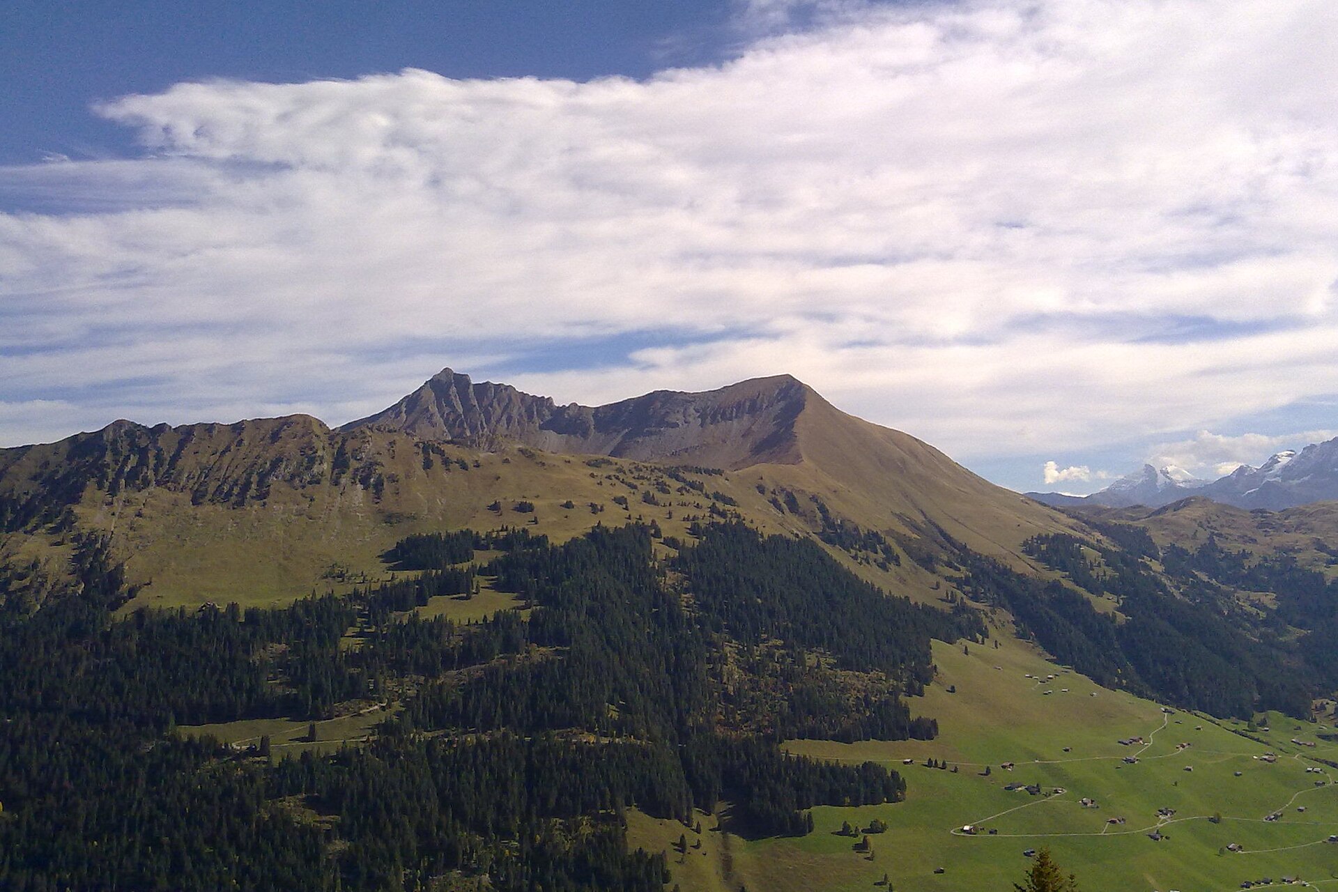
A magnificent and sun-drenched high-ridge hike in the Saanenland region near Gstaad. Starting from the Wispile mountain station (1,910 m) towering directly above Gstaad, the trail meanders along rolling, grassy alpine ridge crests past the shimmering Lauenen alpine lakes (Lake Lauenen) before descending gently into the historic pastoral village of Gsteig at the head of the valley.
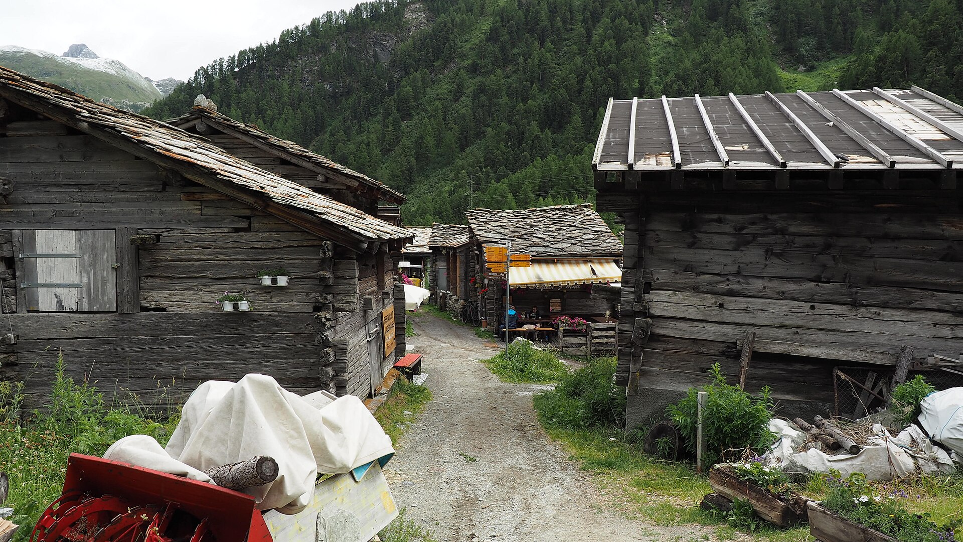
A quiet valley behind Zermatt, with old wooden hamlets and the Matterhorn above.
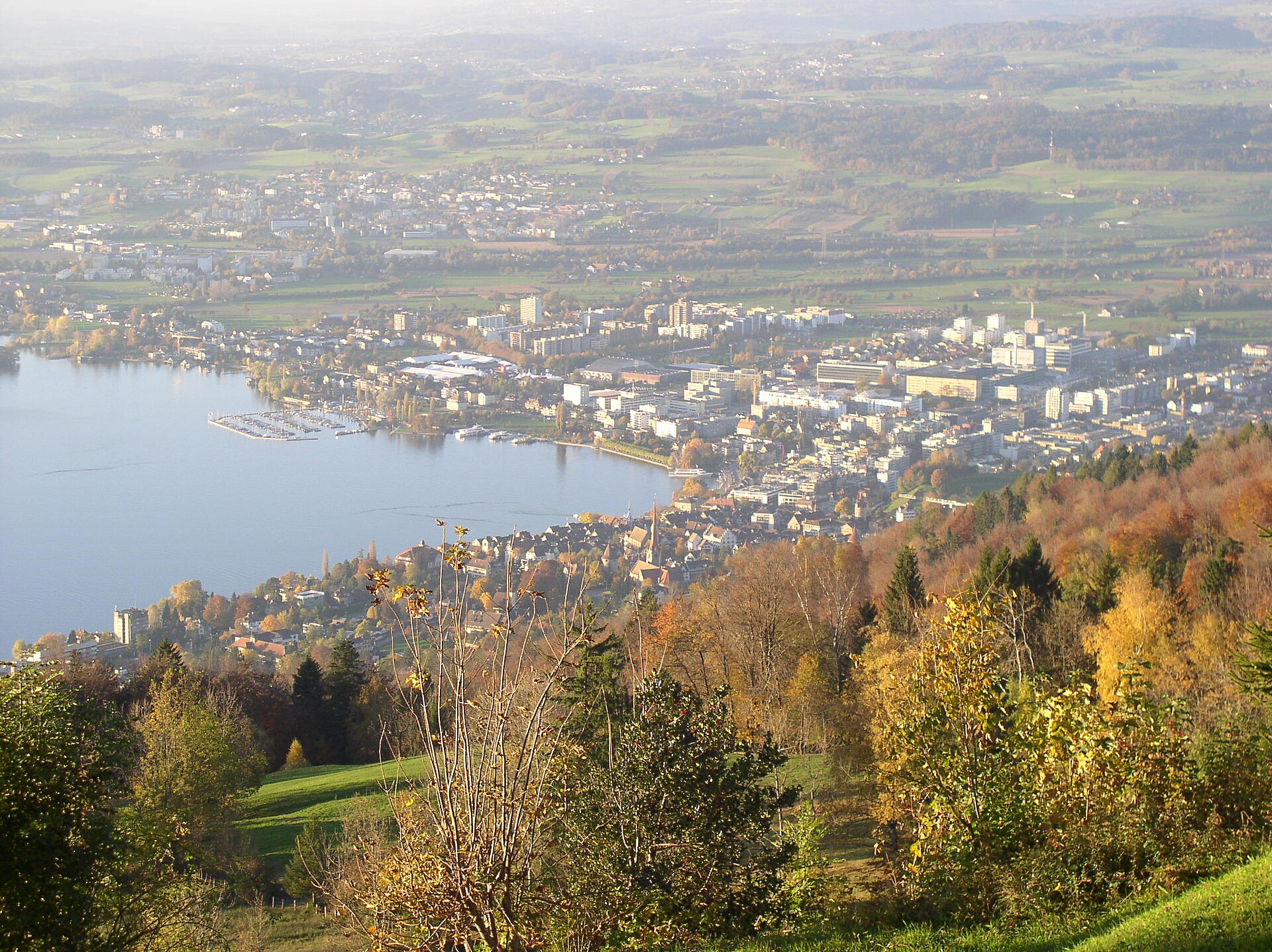
A funicular above the city and a ridge walk with a view of the lake and the Alps.
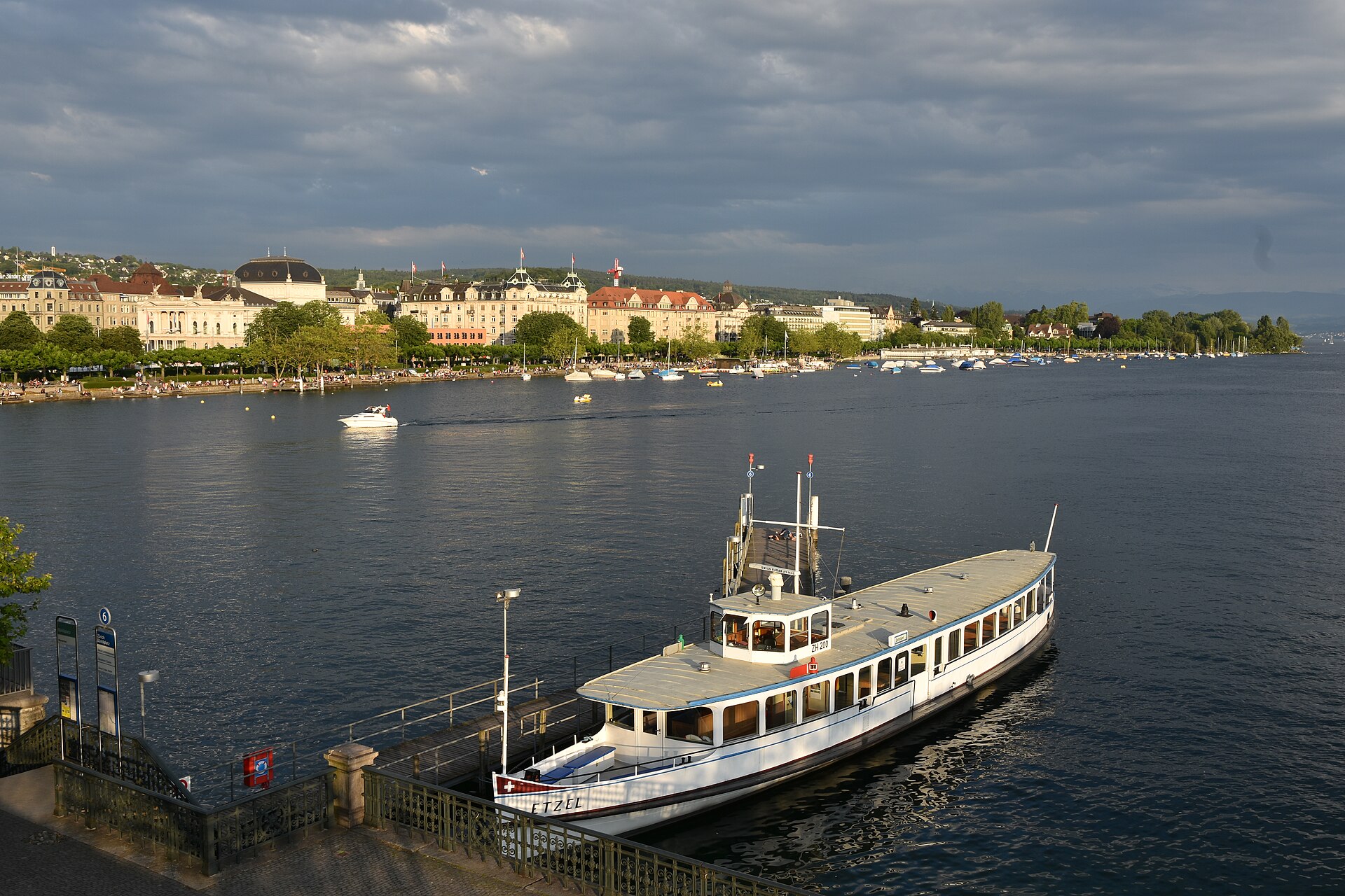
A city lake promenade with swimming spots, parks and a view of the Alps.
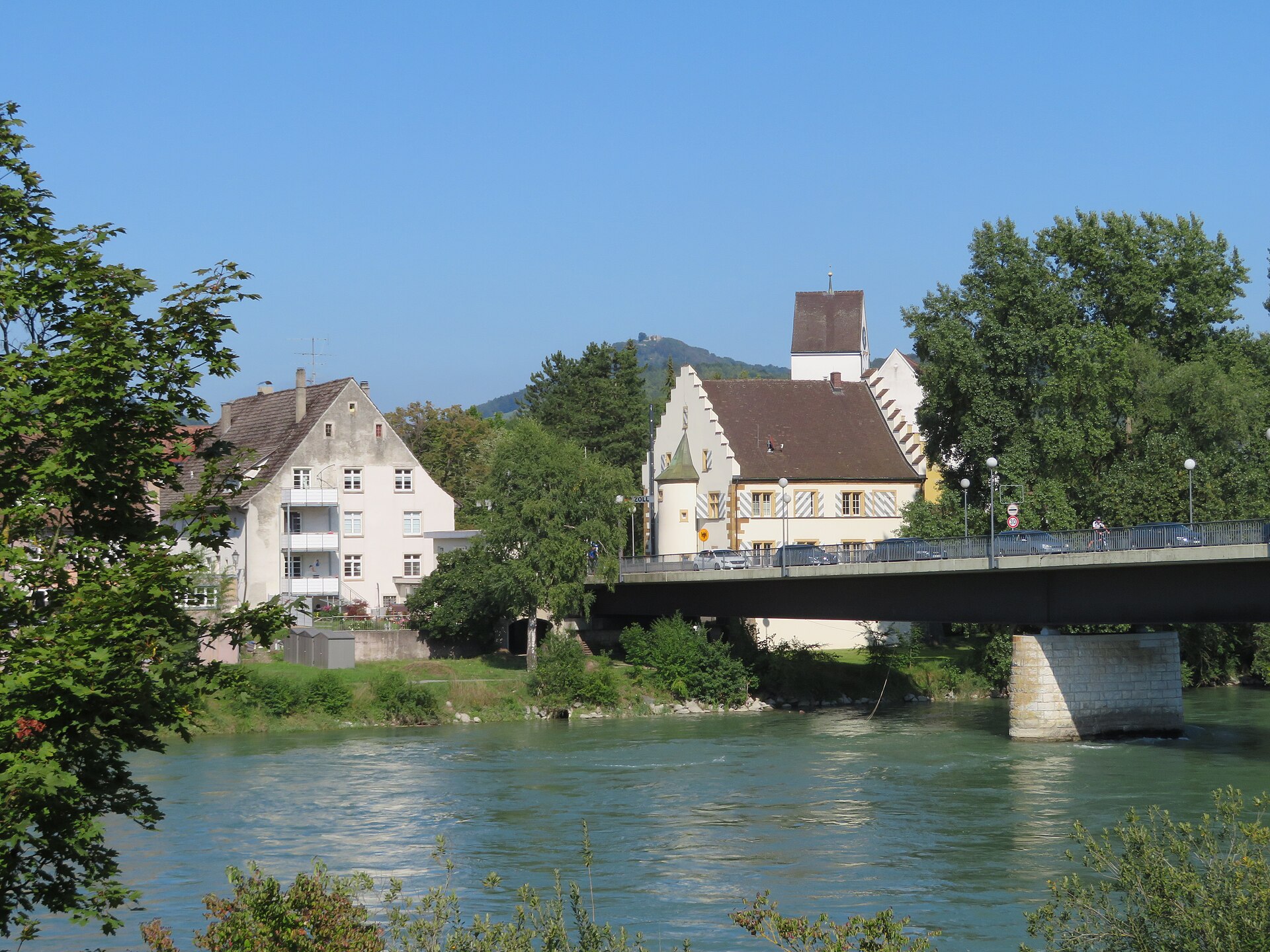
A thermal spa town on the Rhine, with Roman ruins and a river path.