
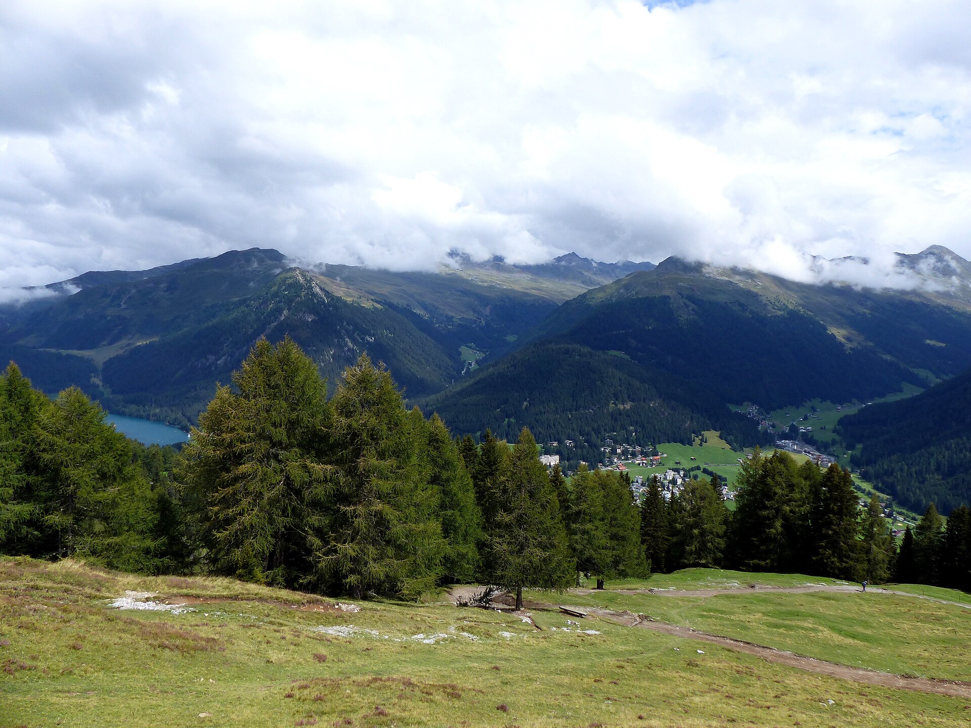
Büelhorn Ridge & Davos Panorama Trail
A magnificent and challenging high-alpine ridge traverse ascending toward the summit of Büelhorn (2,798 m) high above the Davos valley. Starting from the Sertig Valley or Parsenn regions, the route winds through ancient pine forests, high-altitude alpine scree fields, and wide ridge saddles offering staggering panoramic views across the Graubünden Alps, Silvretta group, and down into the lush Sertig stream valley. ---
- Distance
- 11.5 km
- Difficulty
- Moderate
Route
The route, step by step
- 1
Stage 1: Sertig Dörfli to Büelhorn Ascents
From Sertig Dörfli, follow the signposted mountain trail climbing steeply through alpine pastures and scree toward the Büelhorn ridge. (3.8 km, +920 m / -40 m)
- 2
Stage 2: Büelhorn Summit Ridge Traverse
Traverse the broad slate ridge leading directly to the Büelhorn summit cairn at 2,798 meters. (1.5 km, +180 m / -180 m)
- 3
Stage 3: Descent via Clavadeler Alp to Davos
Descend via engineered pasture switchbacks and forest tracks down into Davos Platz. (6.2 km, +40 m / -1,110 m)
Plan your day
Getting there & logistics
- Start
- SBB train to Landquart, then Rhätische Bahn (RhB) to Davos Platz, followed by PostBus line 10 to Sertig Dörfli.
- Finish
- Return via same route or loop connection
- Parking
- Drive via Landquart and Davos valley road to Sertig Dörfli. Park at the designated Sertig parking lot (CHF 5.00/day).
Good to know
- Rainy day
- Check local weather forecasts and mountain railway operational schedules before departure.
Stay & rest
Rest options & mountain huts
Panoramic Picnic Spot
Büelhorn Summit Cairn — Broad rocky plateau offering infinite horizon views across Graubünden.
Supermarket Prep
Coop or Migros Davos Platz before taking the PostBus to Sertig.
On-Trail Mountain Inn
**Restaurant Walserhuus Sertig** — Famous for traditional Grisons barley soup, venison dishes, and homemade fruit tarts.
Where to stay
Budget – Alpenrose Sertig
Traditional Walser mountain inn offering cozy rooms and hearty Graubünden dishes.
Mid-Range – Hotel Grischa Davos
4-star superior alpine hotel in Davos Platz renowned for culinary excellence.
Upscale – Intercontinental Davos
Iconic 5-star luxury architectural landmark hotel overlooking the Davos valley.
We may earn a commission from bookings made through this link.
Gear
Essential trail gear
For this hike
- Sturdy hiking boots
- Windproof shell jacket
- Water bottle (1.5L)
Always
- First aid kit
- Alpine emergency blanket
- Swiss topographic map / Komoot
Background
Route notes
A magnificent and challenging high-alpine ridge traverse ascending toward the summit of Büelhorn (2,798 m) high above the Davos valley. Starting from the Sertig Valley or Parsenn regions, the route winds through ancient pine forests, high-altitude alpine scree fields, and wide ridge saddles offering staggering panoramic views across the Graubünden Alps, Silvretta group, and down into the lush Sertig stream valley. ---
Nearby hikes
- Davos to Klosters Panorama Trail (Zuger Tälli & Gotschna) – Davos Klosters, GR
- Dürrenboden to Sertig Pass High Trail – Davos Klosters, GR
- Davos Lake and the Landwasser Path – Davos, GR
Experiences near this hike
We may earn a commission from bookings made through this link.
 Sponsoredfrom CHF 159Sponsoredfrom CHF 179Sponsoredfrom CHF 129
More things to do nearby
We may earn a commission from bookings made through this link.
Browse experiences on GetYourGuideDid you know?
You might also like
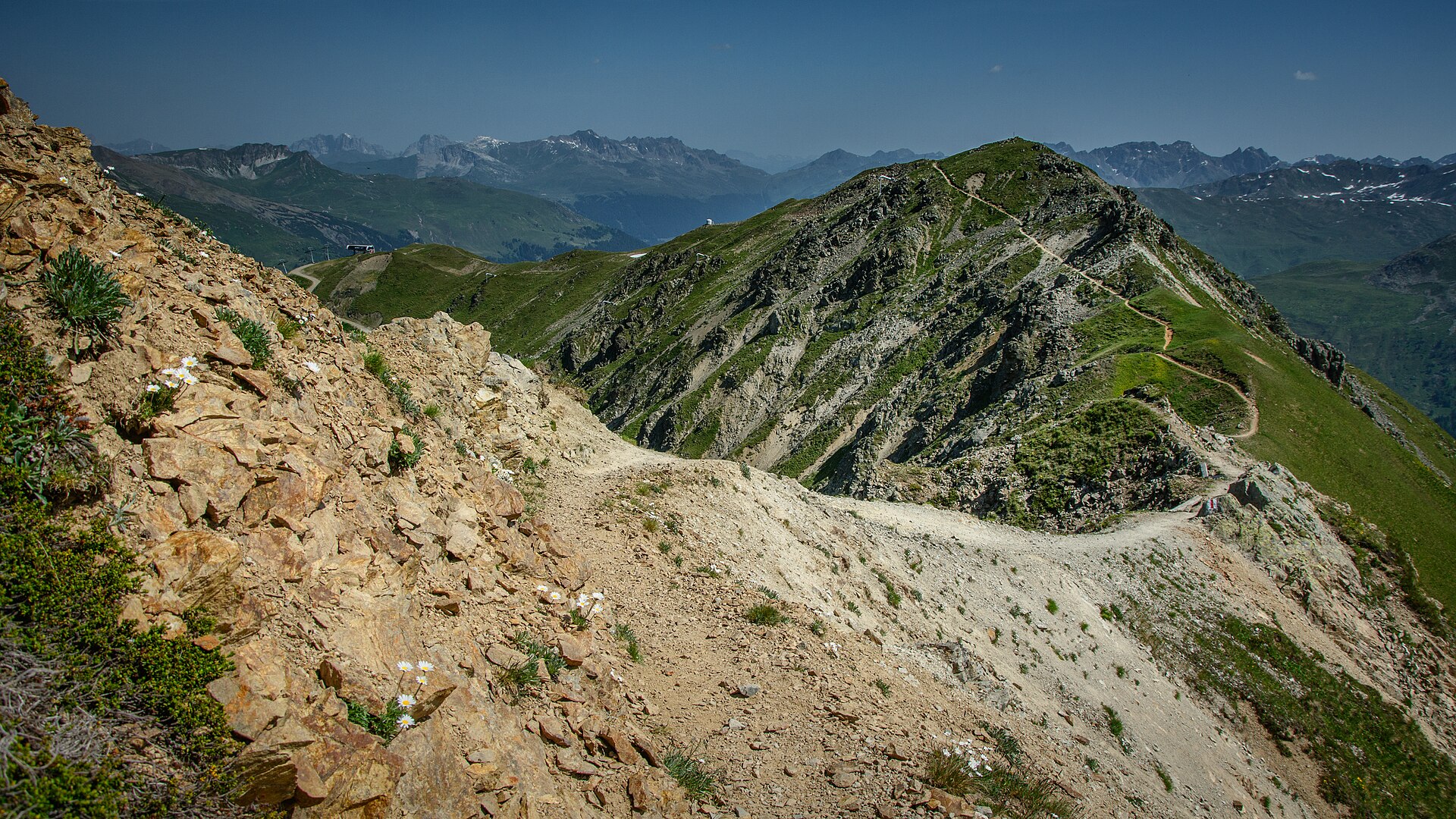
Davos to Klosters Panorama Trail (Zuger Tälli & Gotschna)
A legendary high-alpine balcony traverse linking the famous mountain resort of Davos with its sister alpine village Klosters. Starting from the Gotschnagrat station high above Davos, the trail tracks along the famous "Crest Trail" (Gotschnagrat–Casanna–Klosters), winding through fragrant pine forests, open alpine pastures, and dramatic rock balconies with breathtaking panoramic views of the Prättigau valley and the Silvretta Alps.
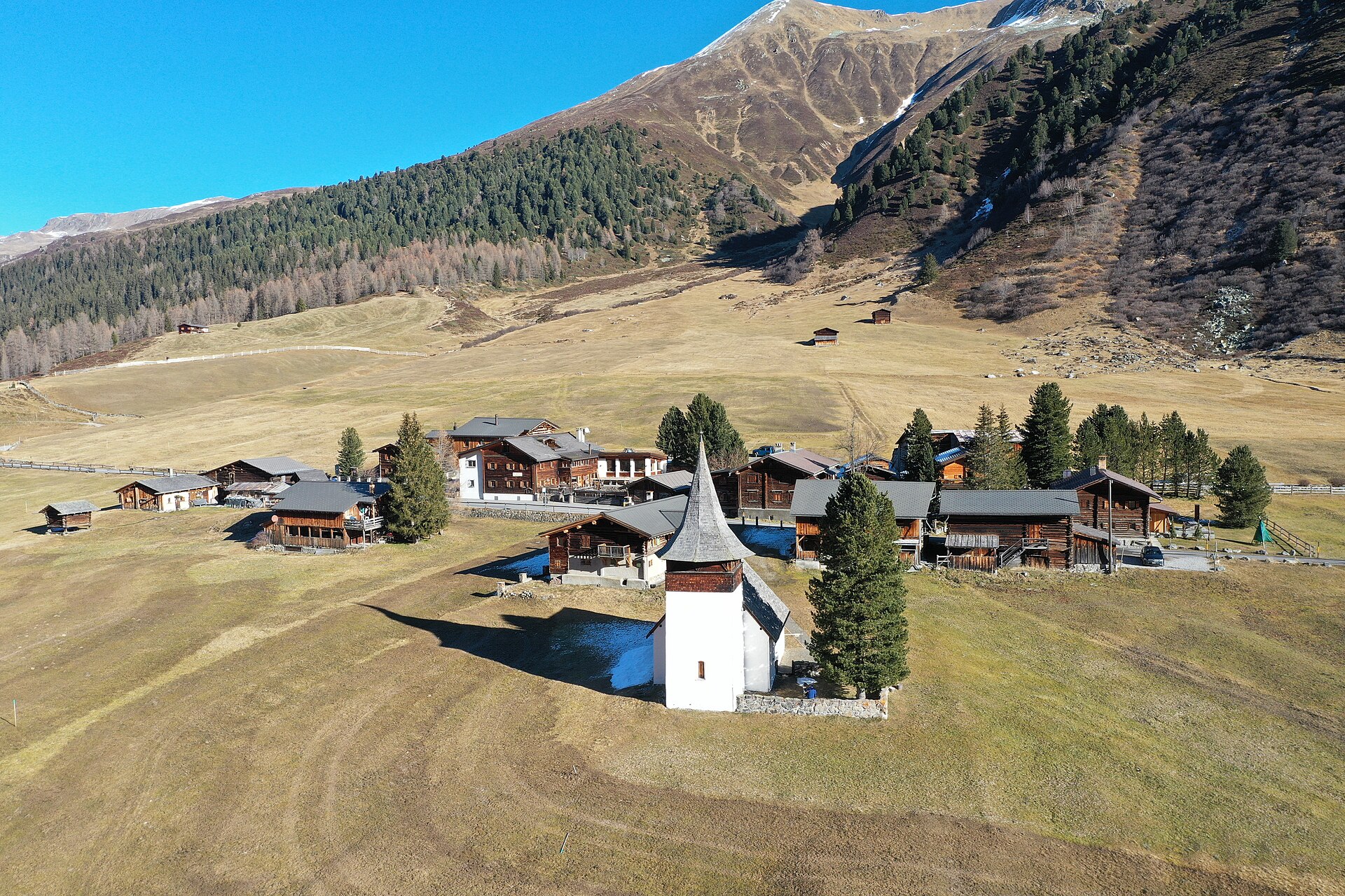
Dürrenboden to Sertig Pass High Trail
A legendary and dramatic high-alpine pass crossing linking the historic Walser valley of Sertig with the Dischma valley via the rugged Sertig Pass (2,739 m). Starting from Dürrenboden at the end of the Dischma valley, the trail climbs steadily through high-alpine moraines and slate scree fields beneath the towering Piz Grialetsch before descending into the pristine Sertig valley, offering breathtaking wilderness panoramas across Graubünden.
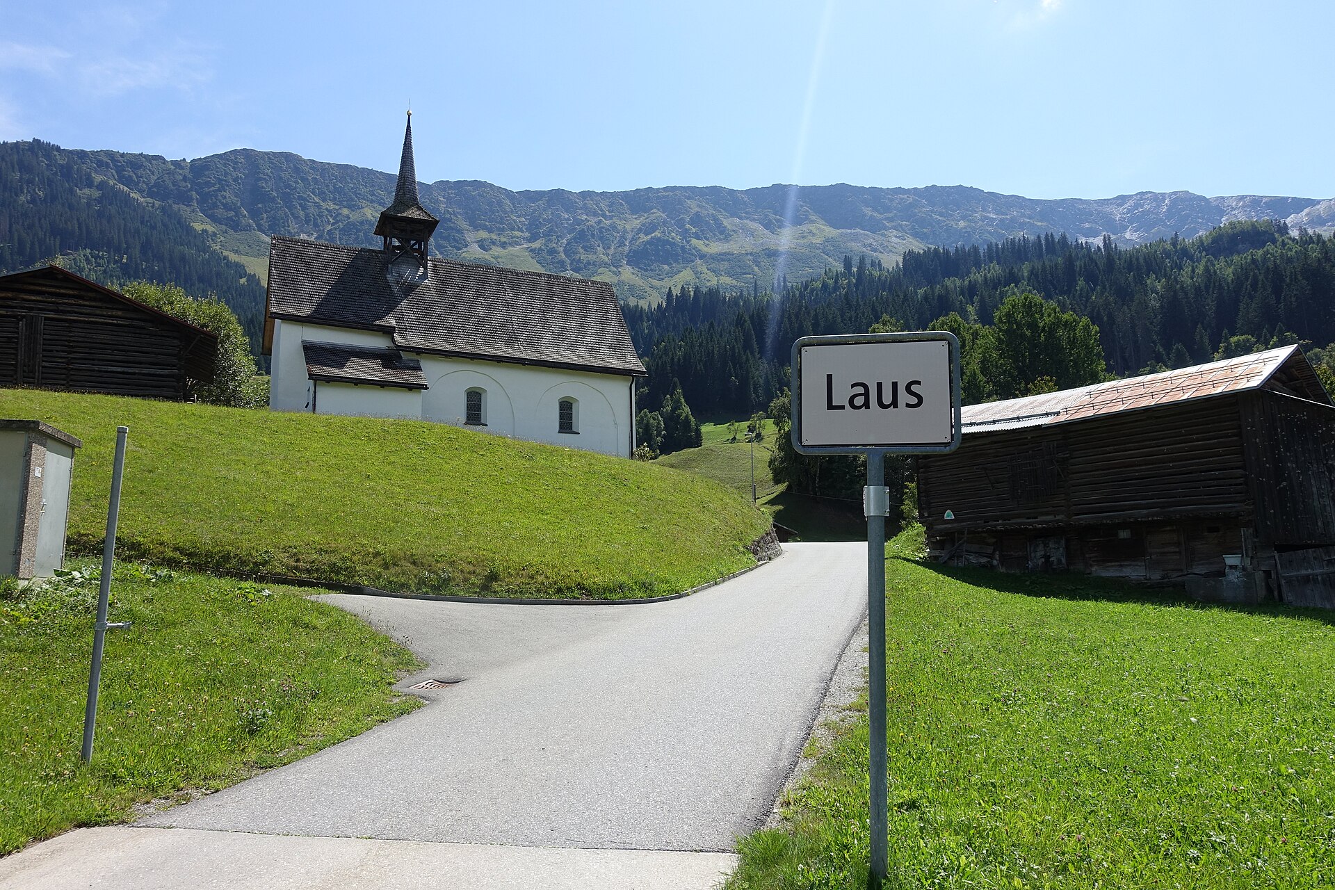
Acla to Medel Valley Alpine Route
A serene and unspoiled mountain valley walk following the rushing waters of the Rein da Medel river through Val Medel. Starting near the quiet hamlet of Acla, the path leads past traditional Walser-style wooden barns, wild pine forests, and alpine pastures under the gaze of the Medel Glacier massif. The route combines historic mule-track sections with smooth gravel paths, providing an authentic Graubünden alpine experience far from big tourism crowds.
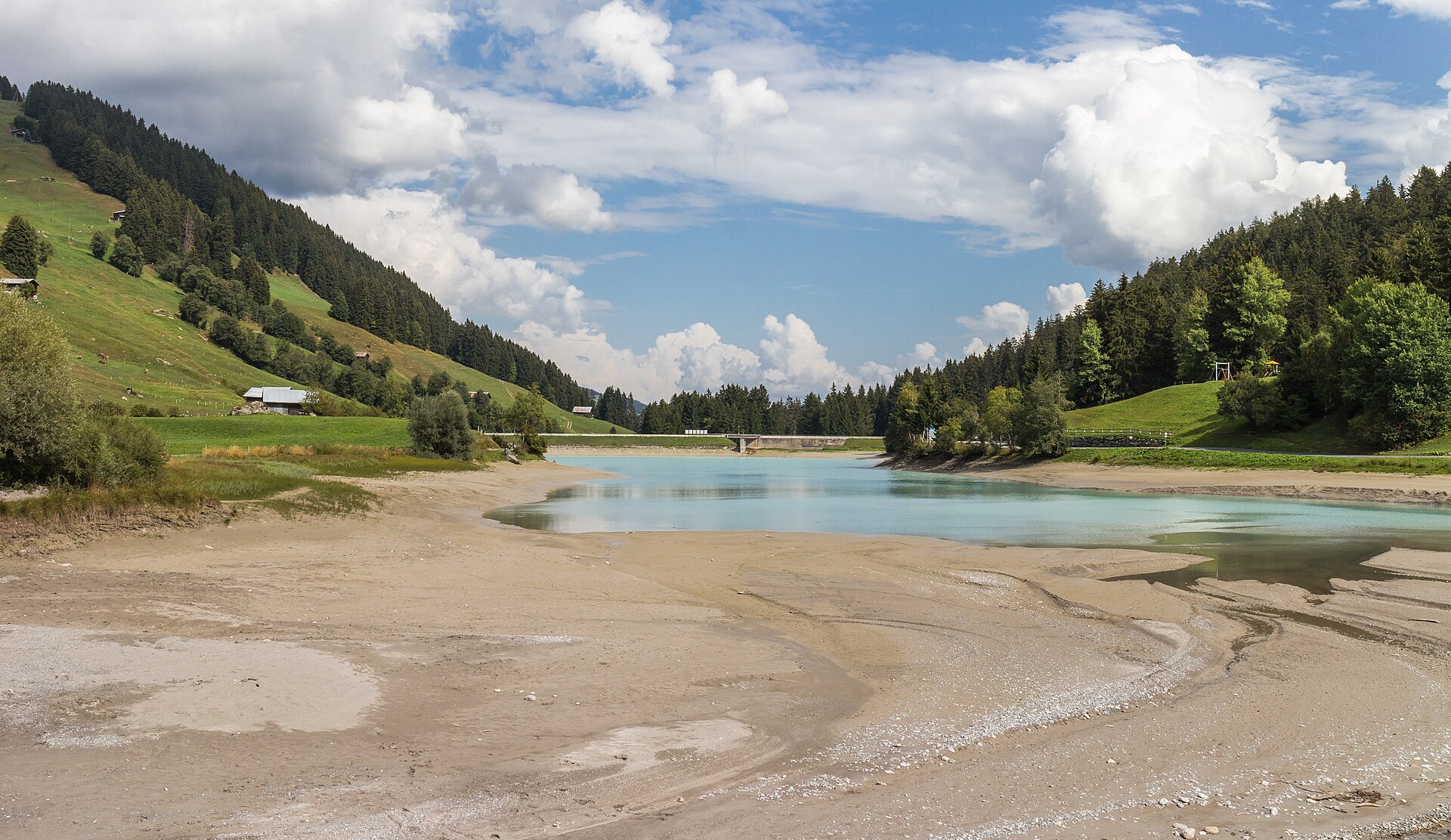
Albula Railway Trail, Bergun to Preda
A 6 km valley walk beside the UNESCO Albula railway's loops and viaducts, with a 20-minute train ride home.
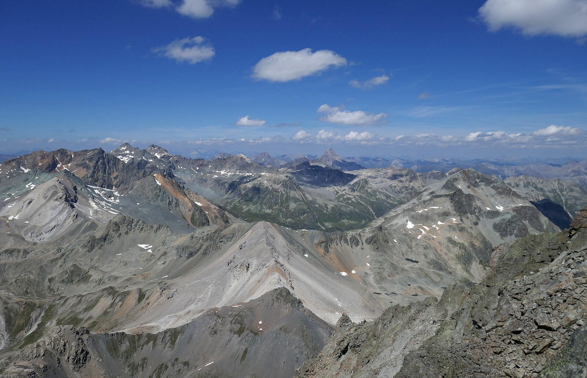
Albulapass to Chamanna Jenatsch High Alpine Route
A majestic high-alpine trek bridging the historic Albulapass road with the remote Jenatsch Hut (SAC), nestled deep in the heart of the Albula Alps. The trail navigates rugged moraines, sparkling alpine tarns, and open stone-strewn plateaus surrounded by jagged 3,000-meter peaks like Piz Calderas and Piz d'Err. This route delivers a true wilderness experience in Graubünden, far from mechanized lifts and crowds.
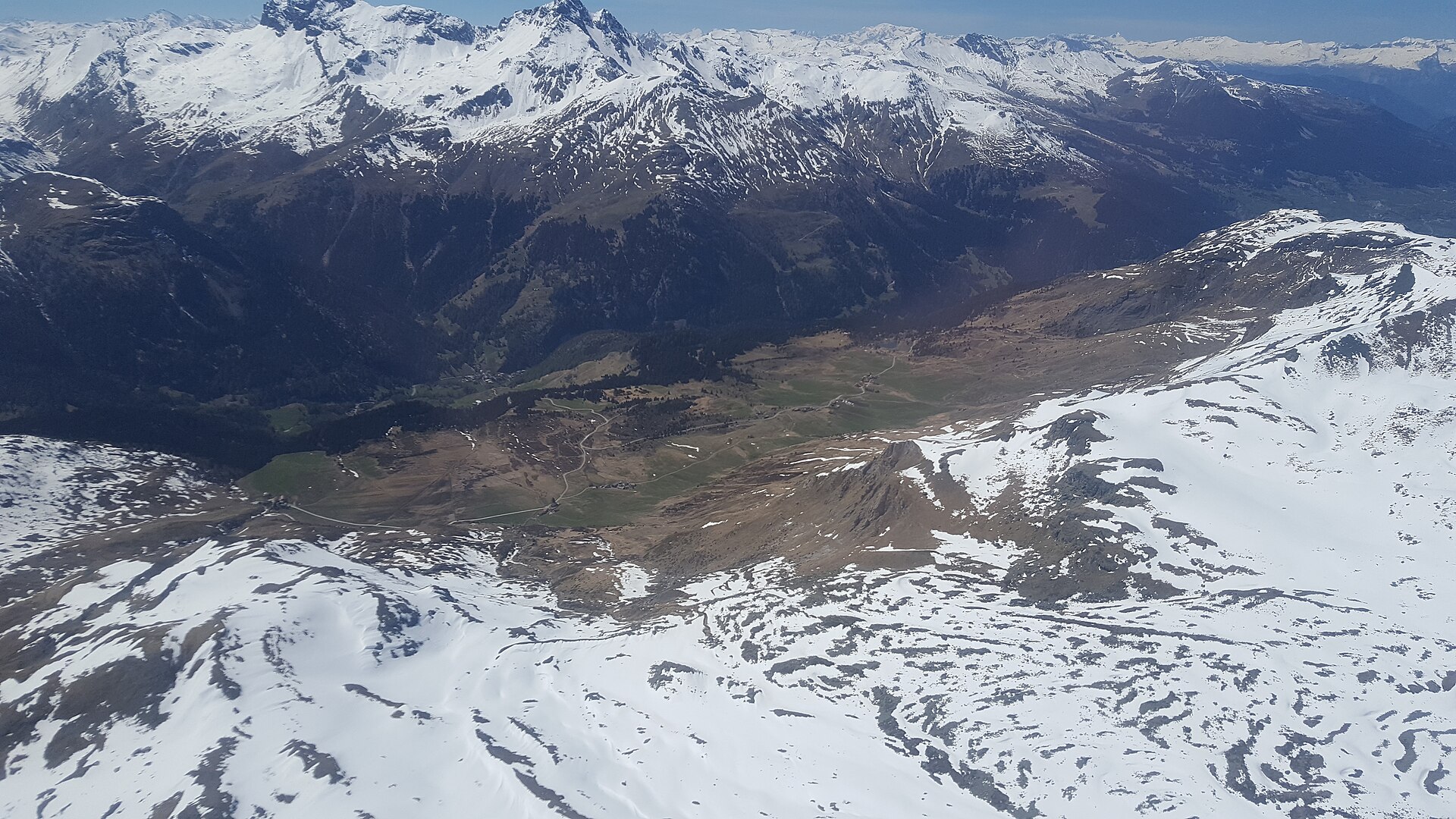
Alp Flix Plateau Walk
A high sunny terrace of moors and larch, protected as a landscape of national importance.