
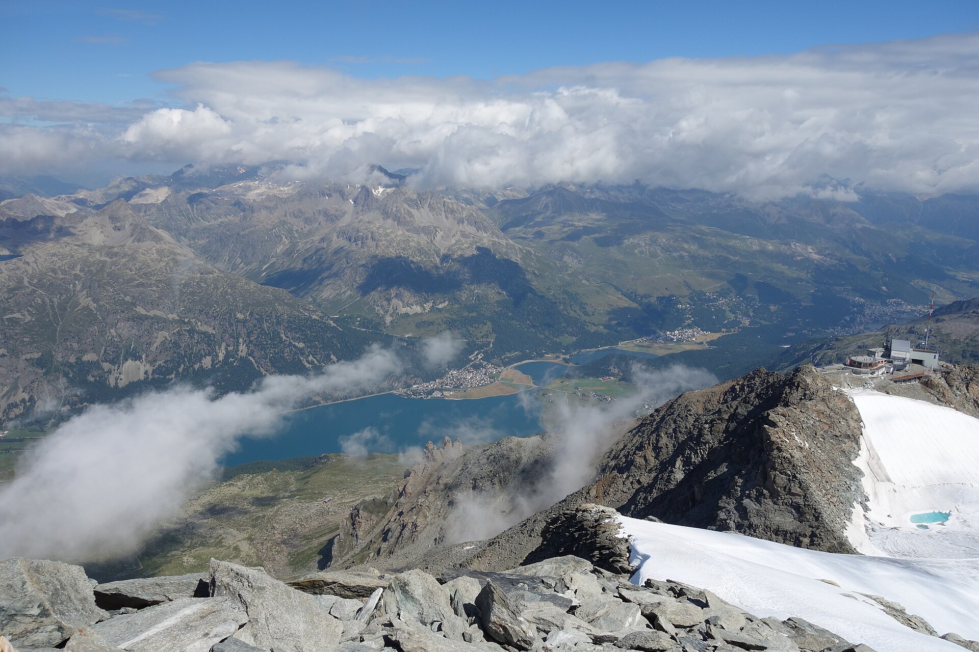
Champfèr to St. Moritz Lake Walk
An exquisite, completely flat high-altitude lake walk connecting the peaceful Engadin village of Champfèr with the world-famous luxury resort of St. Moritz. Winding along the shores of Lake Champfèr (Lej da Champfèr) and Lake St. Moritz (St. Moritzersee), the route passes traditional stone Engadin architecture, larch forests, and historic luxury hotels, backed by the glistening glaciers of the Bernina Range. ---
- Distance
- 6.2 km
- Difficulty
- Easy
Route
The route, step by step
- 1
Stage 1: Champfèr Village to Lej da Champfèr Shore
From Champfèr village center, follow the signposted walking trail down to the quiet western shore of Lake Champfèr. (1.5 km, +10 m / -5 m)
- 2
Stage 2: Lake Champfèr to St. Moritz Bad Waterfront
Follow the wide gravel promenade past woodland bowers directly toward St. Moritz Bad. (2.5 km, +15 m / -10 m)
- 3
Stage 3: St. Moritzersee Promenade Circuit to St. Moritz Dorf
Complete the scenic walk along Lake St. Moritz ending at the St. Moritz train station or funicular to Dorf. (2.2 km, +20 m / -10 m)
Plan your day
Getting there & logistics
- Start
- Rhaetian Railway (RhB) train to St. Moritz station, then take local Engadin Bus line 1 or 6 directly to "Champfèr, Schulhaus".
- Finish
- Return via same route or loop connection
- Parking
- Drive via Julier Pass or Maloja Pass to Champfèr. Park at the village parking area in Champfèr (CHF 4.00/day).
Good to know
- Rainy day
- Check local weather forecasts and mountain railway operational schedules before departure.
Stay & rest
Rest options & mountain huts
Panoramic Picnic Spot
Lake St. Moritz Eastern Shore Benches — Public wooden benches positioned right on the water facing St. Moritz Dorf.
Supermarket Prep
Coop Supermarkt St. Moritz Bad or Volg Champfèr for fresh Engadin nut tart (Nusstorte) and cheeses.
On-Trail Mountain Inn
**Restaurant Talvo by Dalsass** (Champfèr) — Renowned gourmet Engadin dining in a 300-year-old historic farmhouse.
Where to stay
Budget – St. Moritz Youth Hostel
Ultra-modern, high-end alpine hostel located in St. Moritz Bad near the forest.
We may earn a commission from bookings made through this link.
Gear
Essential trail gear
For this hike
- Sturdy hiking boots
- Windproof shell jacket
- Water bottle (1.5L)
Always
- First aid kit
- Alpine emergency blanket
- Swiss topographic map / Komoot
Background
Route notes
An exquisite, completely flat high-altitude lake walk connecting the peaceful Engadin village of Champfèr with the world-famous luxury resort of St. Moritz. Winding along the shores of Lake Champfèr (Lej da Champfèr) and Lake St. Moritz (St. Moritzersee), the route passes traditional stone Engadin architecture, larch forests, and historic luxury hotels, backed by the glistening glaciers of the Bernina Range. ---
Nearby hikes
- Engadin Lakes & Silvaplana Panorama Trail – Upper Engadin, GR
- St. Moritz Lake Loop – St. Moritz, GR
- Lej da Staz and Pontresina Forest – Pontresina, GR
Experiences near this hike
We may earn a commission from bookings made through this link.
 Sponsoredfrom CHF 159Sponsoredfrom CHF 179Sponsoredfrom CHF 129
More things to do nearby
We may earn a commission from bookings made through this link.
Browse experiences on GetYourGuideDid you know?
You might also like
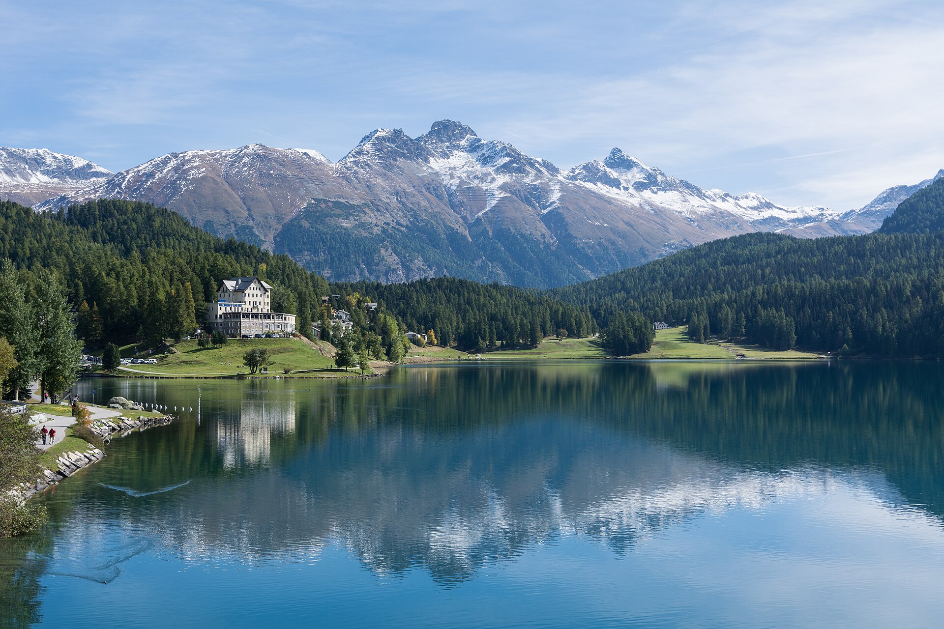
Cresta Run & St. Moritz Valley Forest Trail
A fascinating heritage and forest walk exploring the legendary Cresta Run area—the world's most famous natural skeleton toboggan run—and the pristine pine and larch forests surrounding St. Moritz. The trail winds past the historic Cresta clubhouse, sparkling St. Moritz lake edges, and tranquil woodland clearings, offering a wonderful blend of elite sporting history and serene Engadin nature.
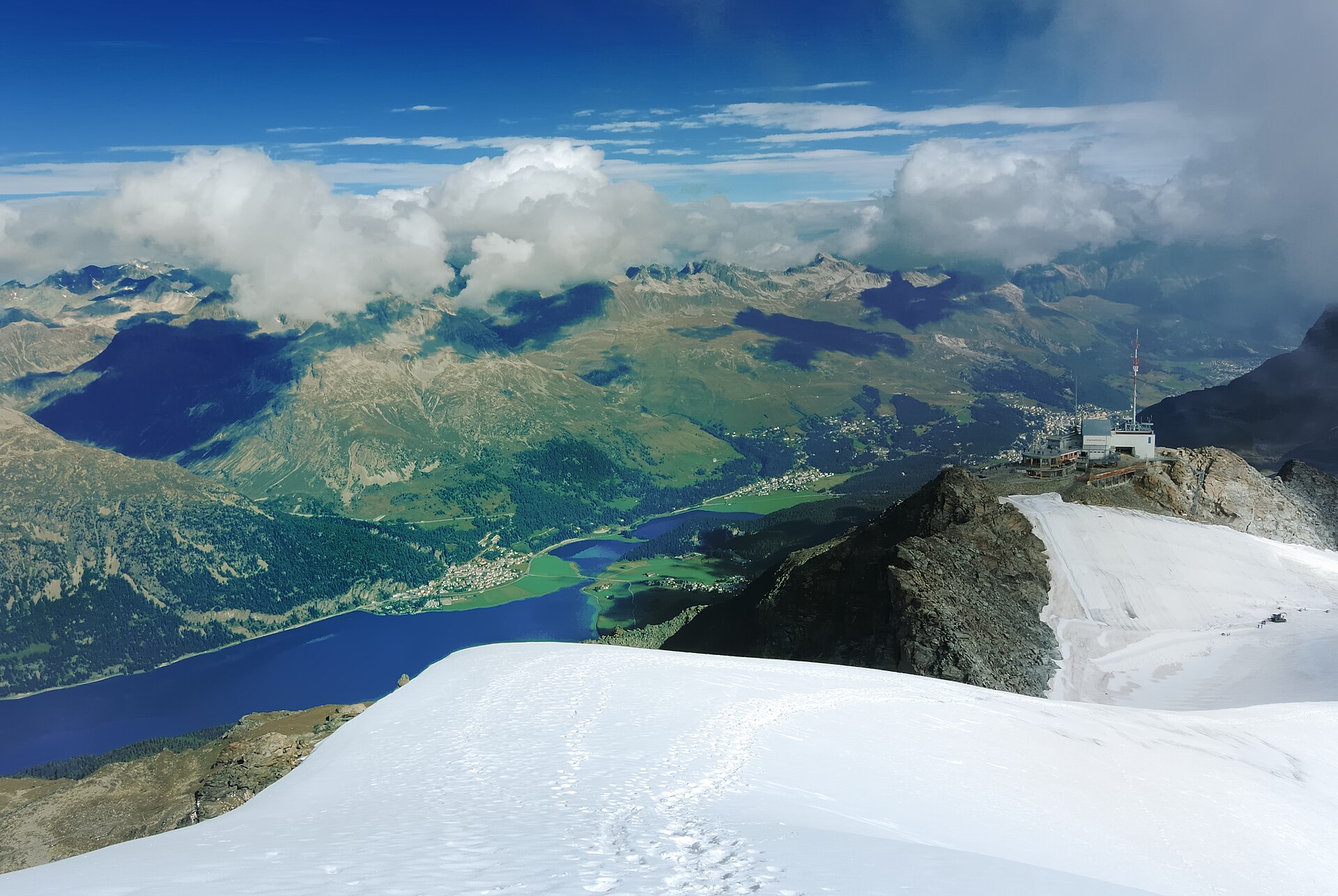
Engadin Lakes & Silvaplana Panorama Trail
A magnificent and world-famous high-alpine lake walk traversing the shimmering waters of the Upper Engadin lake plateau from St. Moritz past Lake Champfèr, Lake Silvaplana (Lej da Silvaplana), and Lake Sils (Lej da Segl) to Maloja. Framed by ancient larch and pine forests, soaring granite peaks, and the legendary Maloja thermal winds that power windsurfers and kite-surfers, this trail offers quintessential Engadin beauty and ease of access.
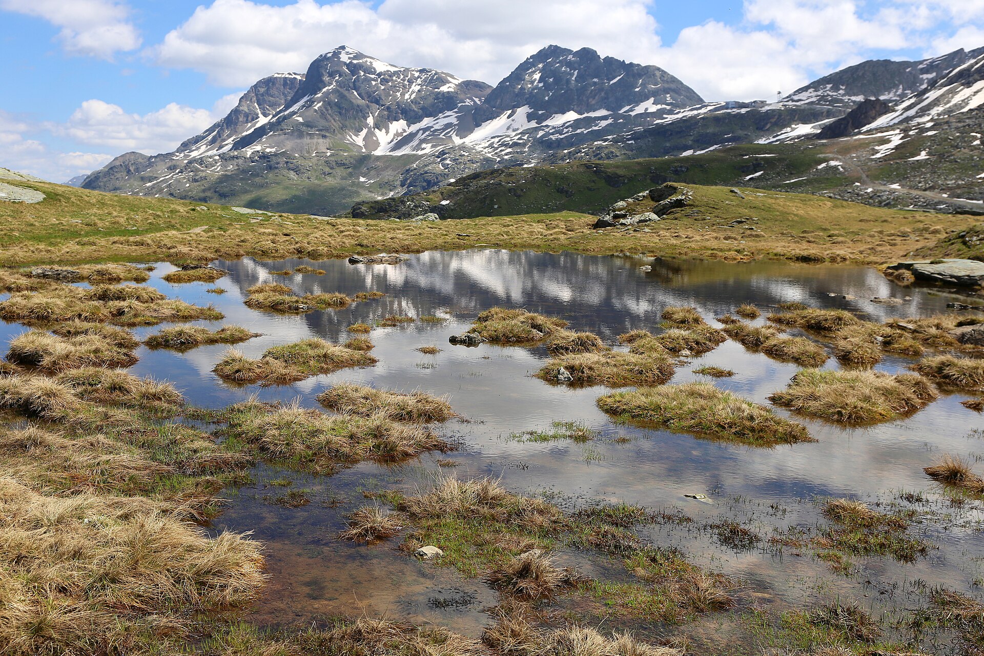
Furtschellas Wasser-Weg (Four Lakes Trail)
One of the most enchanting family-friendly water hikes in the Upper Engadin. Starting from the Furtschellas mid-station above Sils Maria, the "Wasser-Weg" (Water Trail) winds past four idyllic, crystal-clear mountain tarns—Lej Nair, Lej Zuppò, Lej Chamuera, and Lej Feur—reflecting the dramatic peaks of the Bernina and Albula ranges. The trail meanders through fragrant dwarf pine forests and rolling alpine meadows before descending toward Sils Maria.
Acla to Medel Valley Alpine Route
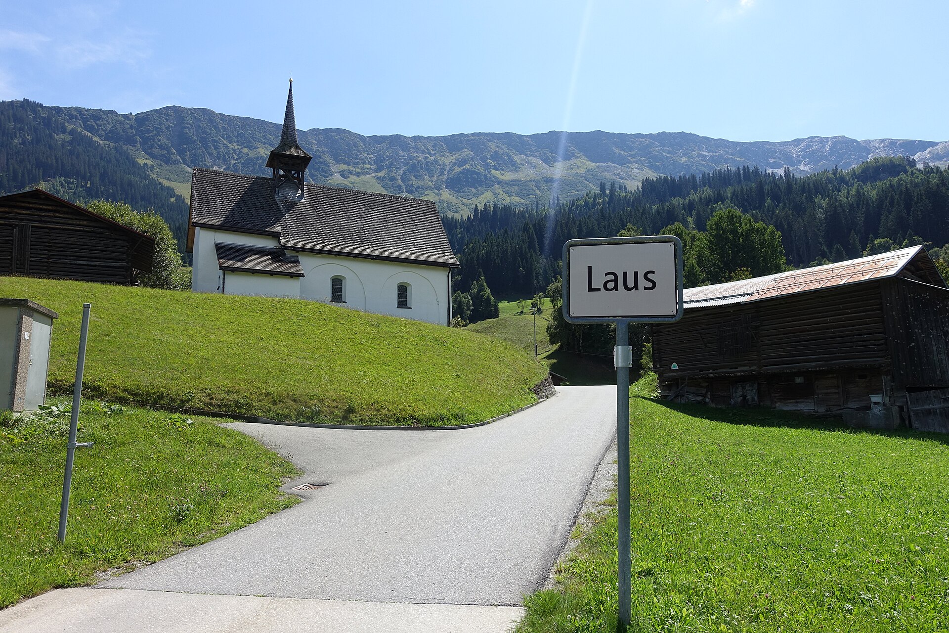
A serene and unspoiled mountain valley walk following the rushing waters of the Rein da Medel river through Val Medel. Starting near the quiet hamlet of Acla, the path leads past traditional Walser-style wooden barns, wild pine forests, and alpine pastures under the gaze of the Medel Glacier massif. The route combines historic mule-track sections with smooth gravel paths, providing an authentic Graubünden alpine experience far from big tourism crowds.
Albula Railway Trail, Bergun to Preda
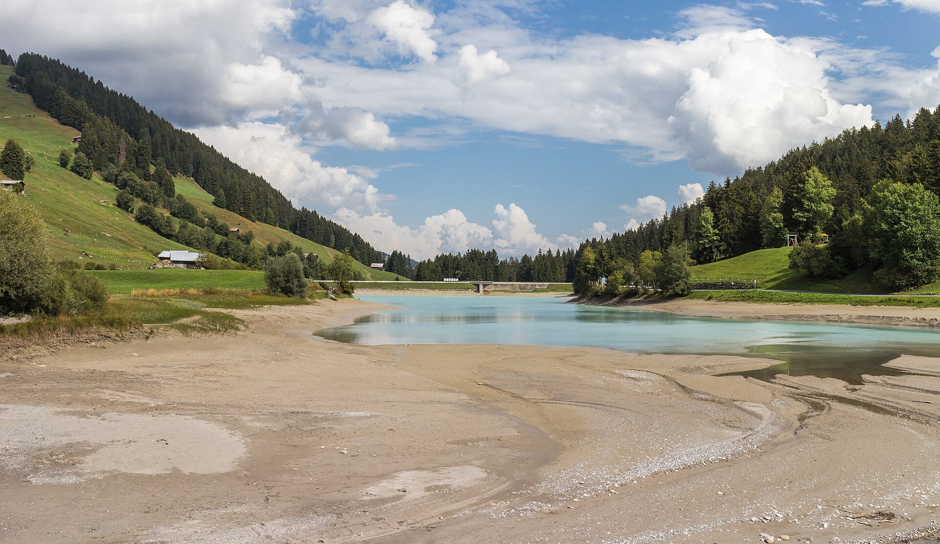
A 6 km valley walk beside the UNESCO Albula railway's loops and viaducts, with a 20-minute train ride home.
Albulapass to Chamanna Jenatsch High Alpine Route
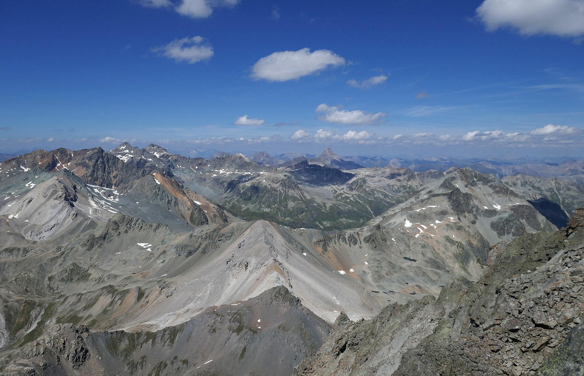
A majestic high-alpine trek bridging the historic Albulapass road with the remote Jenatsch Hut (SAC), nestled deep in the heart of the Albula Alps. The trail navigates rugged moraines, sparkling alpine tarns, and open stone-strewn plateaus surrounded by jagged 3,000-meter peaks like Piz Calderas and Piz d'Err. This route delivers a true wilderness experience in Graubünden, far from mechanized lifts and crowds.