
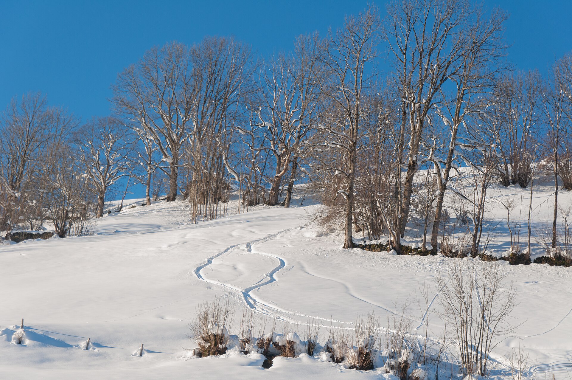
Chäserrugg and the Churfirsten Ridge
The Churfirsten are a row of seven limestone peaks rising straight from the Walensee on one side and the Toggenburg valley on the other. The Chäserrugg is the one you can reach by cable car, with a summit restaurant designed by the architects Herzog and de Meuron. From the top station a ridge path leads along the crest to Hinterrugg and then descends by a signed route to Iltios. The path is rocky and sometimes narrow, but it is not technical. Views reach from the Säntis to the Alps of Glarus. SAC T2: T2 Mountain hiking: steep in places, sure feet needed
- Distance
- 8 km
- Duration
- 3.5 h
- Ascent
- 250 m
- Difficulty
- Moderate
At a glance
3/5
5/5
3/5
Jun – Oct
Route
The route, step by step
- 1
Cable car to Chäserrugg
Ride from Unterwasser via Iltios to the summit.
- 2
Ridge path
Walk along the crest to Hinterrugg.
- 3
Descent to Iltios
A signed path descends through stony pasture.
- 4
Back to Unterwasser
Take the cable car down or walk on.
Elevation profile
Plan your day
Getting there & logistics
- Start
- From Buchs or Wil take the train and bus to Unterwasser in the Toggenburg. The Iltios-Chäserrugg cable car starts in the village. Check timetables.
- Finish
- Drive to Unterwasser via the A3 or from St. Gallen, about 1 h from Zurich.
- Parking
- A paid car park at the Iltios cable car station.
Before you leave, check
- Is the lift, boat or railway running today, and when is the last one down?
- Forecast for morning and afternoon (MeteoSwiss), and any storm warnings.
- Trail status: snow, rockfall or closures (local tourist office or lift operator).
- Last public transport home, and your plan if you miss it.
- Hut or restaurant opening days, and whether you need a reservation.
What this day costs
- Mountain lift, cable car or cogwheel train: usually the biggest cost of the day. Ask for the return fare and check pass discounts.
- Train and PostBus fares to the start and home from the end. A Half Fare Card halves most of these.
- Parking, if you drive: day rates vary by place and season, and some car parks fill early.
- Food and drink: mountain restaurants cost noticeably more than the valley. A picnic cuts the day cost sharply.
- Entry fees where they apply, for example caves, gorges or lakeside facilities.
Plan B if the weather turns
Visit the Toggenburg cheese dairies or the Klangweg sound trail.
Good to know
- Rainy day
- Visit the Toggenburg cheese dairies or the Klangweg sound trail.
- With kids
- Suitable for older children who like hiking.
- Dogs
- Allowed on lead.
Stay & rest
Rest options & mountain huts
Chäserrugg summit restaurant
A design restaurant with a terrace.
Iltios restaurant
A mountain restaurant at the mid-station.
Unterwasser cafés
A few places in the village.
Where to stay
Upscale – Grand Resort Bad Ragaz
A spa resort, about 45 minutes away.
We may earn a commission from bookings made through this link.
Gear
Essential trail gear
For this hike
- Sturdy boots
- Warm layers
- Sun cream
- Poles
- Water and snacks
Always
- Sturdy hiking shoes with real tread (trainers only on the flattest routes)
- Water, at least 1 to 1.5 litres per person, more in summer
- Rain shell and one warm layer, even on a sunny morning
- Sun cream, hat and sunglasses (UV rises about 10% per 1,000 m)
- Snacks or a picnic and some cash in coins and small notes
- Phone with offline map (SwissTopo or Komoot), power bank, ID
- Small first-aid kit: plasters, blister tape, painkillers
Background
Route notes
The Churfirsten are a row of seven limestone peaks rising straight from the Walensee on one side and the Toggenburg valley on the other. The Chäserrugg is the one you can reach by cable car, with a summit restaurant designed by the architects Herzog and de Meuron. From the top station a ridge path leads along the crest to Hinterrugg and then descends by a signed route to Iltios. The path is rocky and sometimes narrow, but it is not technical. Views reach from the Säntis to the Alps of Glarus. SAC T2: T2 Mountain hiking: steep in places, sure feet needed
Nearby hikes
- Murgsee Lakes above the Walensee – Murg, SG
- Käserstatt Panorama above Hasliberg – Hasliberg, BE
- Kerenzerberg Panorama Walk above the Walensee – Filzbach, GL
Experiences near this hike
We may earn a commission from bookings made through this link.
 Sponsoredfrom CHF 45Sponsoredfrom CHF 79
More things to do nearby
We may earn a commission from bookings made through this link.
Browse experiences on GetYourGuideDid you know?
You might also like
 Featured
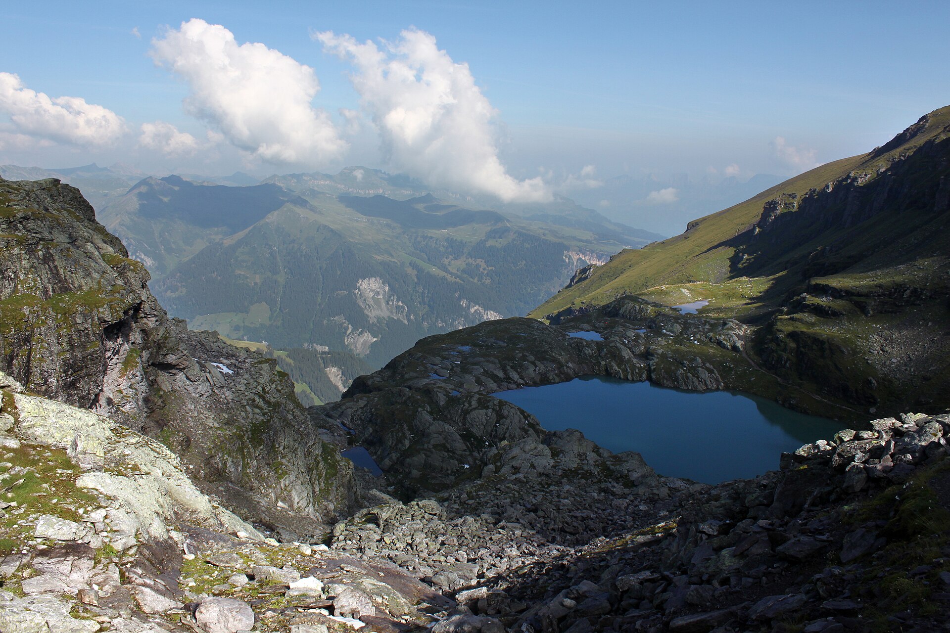
Pizol Five Lakes Tour
A classic 9.5 km high loop past five mountain lakes and the vanished Pizol glacier above Wangs.
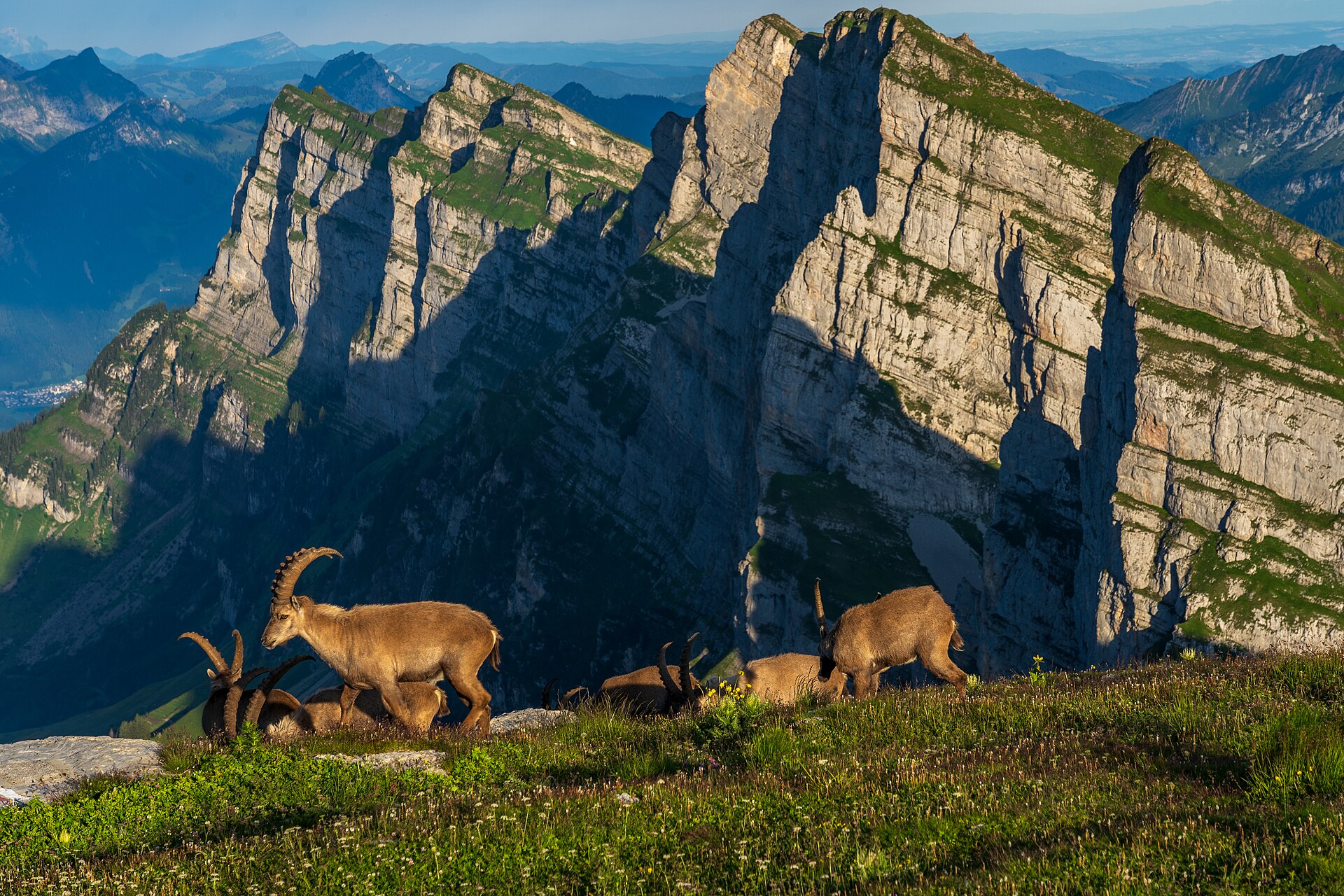
Alp Sellamatt Sound Trail (Toggenburg)
An enchanting, family-oriented musical theme walk set against the dramatic limestone backdrop of the Churfirsten mountain range in Toggenburg. Starting from the Alp Sellamatt high plateau, the trail combines gentle walking with giant outdoor acoustic sound sculptures—including giant singing bowls, melodic metal chimes, and wind-hープ instruments—allowing hikers to interact directly with the natural acoustics of the mountains. The wide, gravel-paved pathways make this ideal for families and relaxed nature lovers.
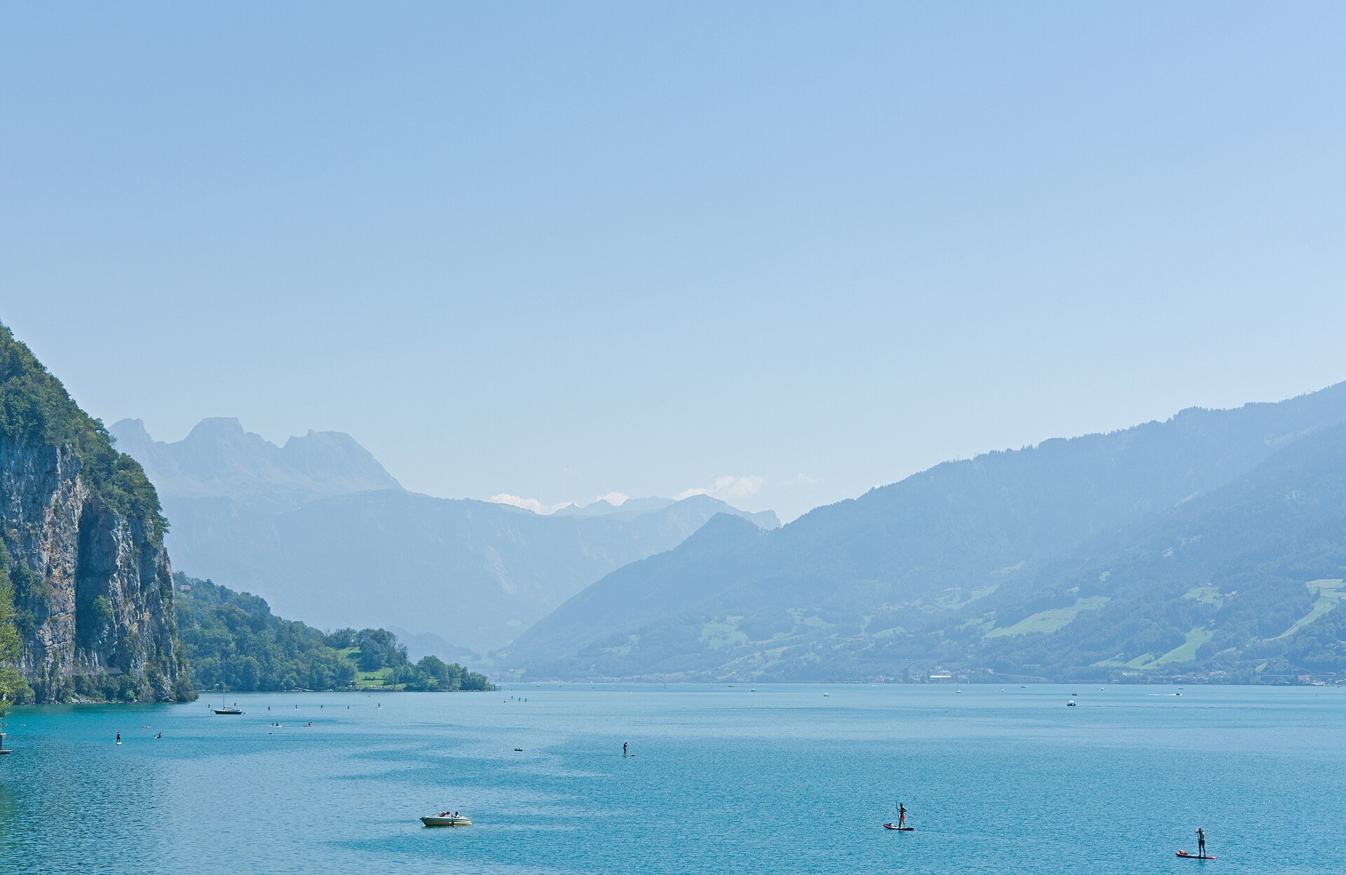
Amden Higher Elevation Panorama Trail
A magnificent balcony hike towering high above the deep blue waters of Lake Walen (Walensee) and facing the dramatic vertical rock walls of the Churfirsten range. Starting from the sun-drenched plateau of Amden, the trail ascends past rolling alpine pastures, fragrant pine groves, and rugged cliff edges toward Mattstock and Hinterrugg viewpoints. The route combines wide gravel paths with scenic mountain foottracks, delivering awe-inspiring vistas across eastern Switzerland.
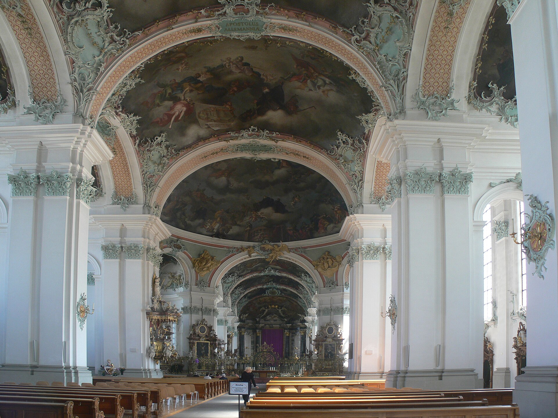
St. Gallen Bach Sacred Music Festival 2027
Sacred choral and organ concerts performing Johann Sebastian Bach's works in the cathedral of St. Gallen.
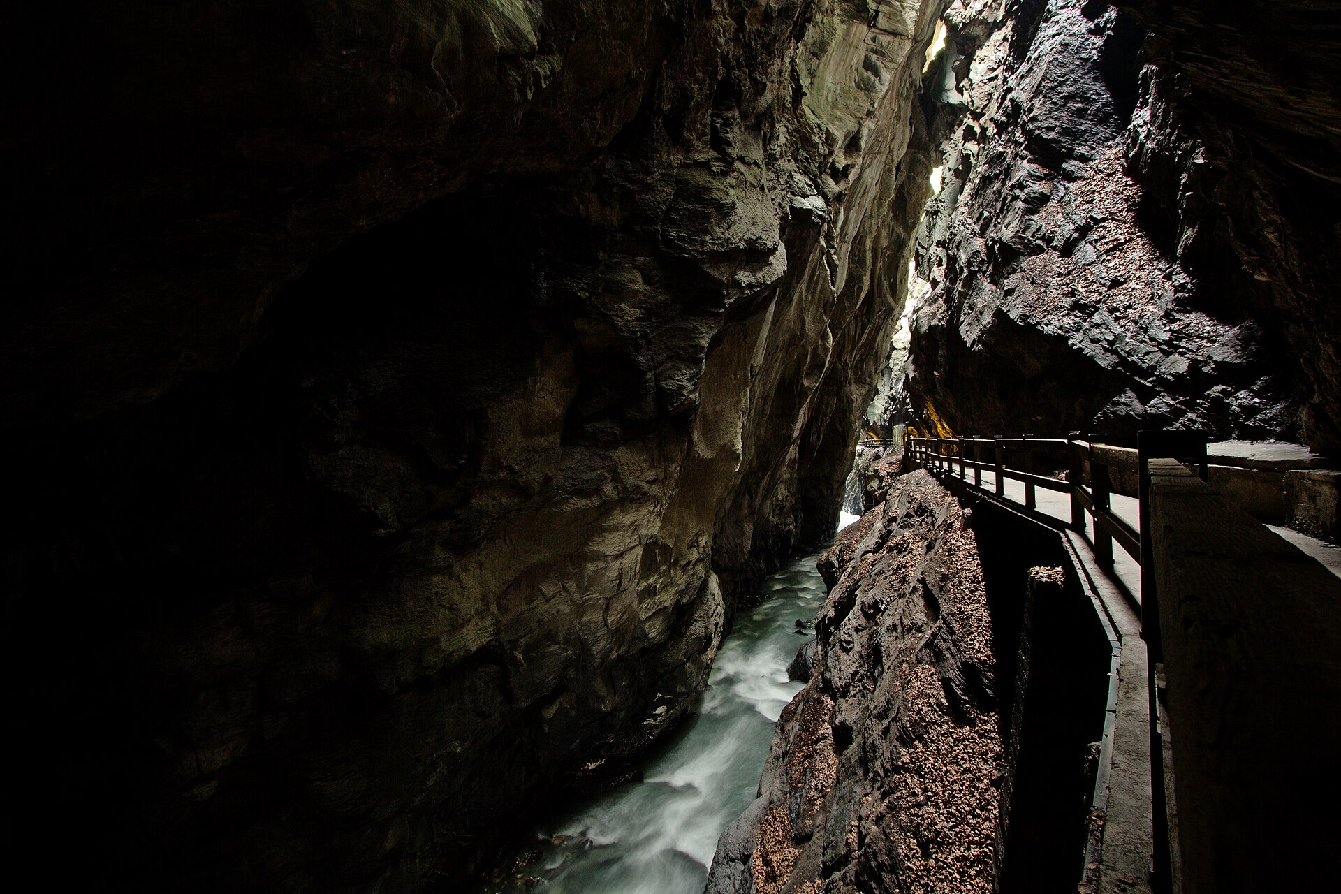
Bad Ragaz to Tamina Gorge Thermal Trail
An awe-inspiring and historic valley walk following the roaring Tamina River from the luxury spa town of Bad Ragaz deep into the dramatic, sheer-walled Tamina Gorge (Taminaschlucht). This is the legendary birthplace of Bad Ragaz's healing thermal waters (36.5°C), discovered in the Middle Ages. The trail winds past grand Belle Époque spa architecture, lush parklands, and enters a secured pedestrian tunnel cutting straight through the towering rock faces to the mystical thermal spring grotto.
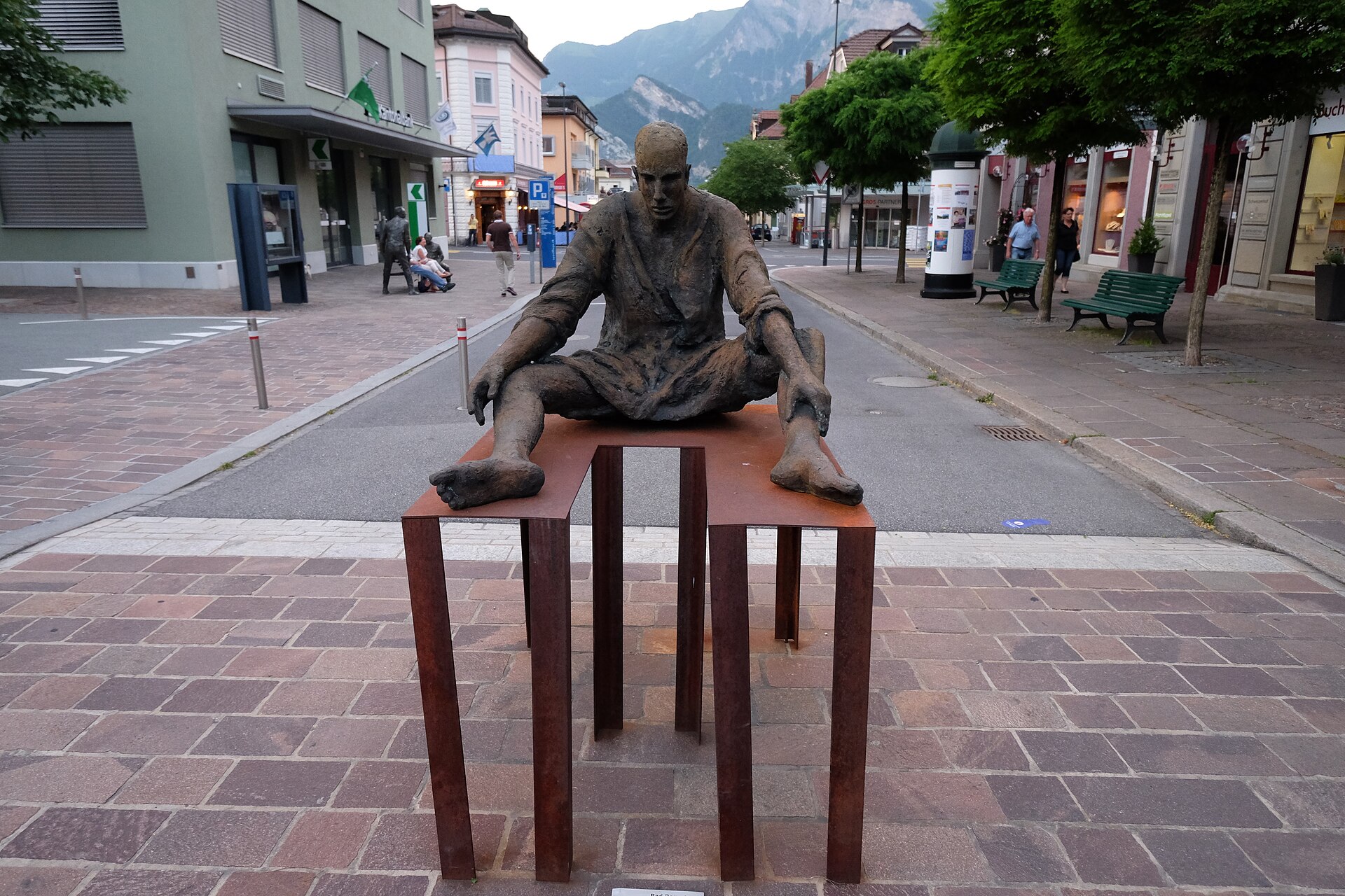
Bad Ragaz International Sculpture Triennial (BadRagARTz) 2027
Europe's largest open-air sculpture exhibition turning the thermal spa resort of Bad Ragaz into a giant art park.