
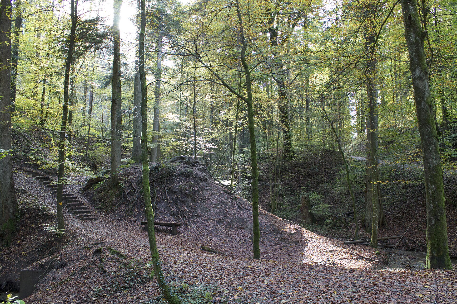
Eschenberg Forest and Tower, Winterthur
Winterthur is a city of museums and old industry, and the Eschenberg forest rises directly behind it. The forest has paths, a wildlife park with native animals such as deer and wild boar, and a tower with a view across the Zurich Oberland to the Alps. A loop path leads from the city centre through the forest to the tower and back. It is flat, shaded and easy, and a good option on a hot day or when the Alps are hidden. The forest is a place locals use every day. SAC T1: T1 Hiking: marked yellow trail, no real exposure
- Distance
- 7 km
- Duration
- 2 h
- Ascent
- 200 m
- Difficulty
- Easy
At a glance
1/5
3/5
2/5
Jan – Dec
Route
The route, step by step
- 1
Winterthur
Start at the station and walk to the edge of the forest.
- 2
Forest paths
Wide paths through beech and spruce woods.
- 3
Eschenberg tower
A tower with a view of the Alps.
- 4
Wildlife park
A free park with native animals, then back to the city.
Elevation profile
Choose your version
Short
Walk to the tower and back, about 1.5 hours.
Classic
Walk the full loop with the wildlife park, about 2 hours.
Extended
Add a walk along the Töss river for a longer day.
Plan your day
Getting there & logistics
- Start
- Take the train to Winterthur (about 20 minutes from Zurich). The forest is a 20 minute walk from the station. Buses run to the edge of the forest.
- Finish
- Drive from Zurich to Winterthur, about 25 minutes.
- Parking
- Paid parking in Winterthur and at the forest edge.
Before you leave, check
- Is the lift, boat or railway running today, and when is the last one down?
- Forecast for morning and afternoon (MeteoSwiss), and any storm warnings.
- Trail status: snow, rockfall or closures (local tourist office or lift operator).
- Last public transport home, and your plan if you miss it.
- Hut or restaurant opening days, and whether you need a reservation.
What this day costs
- Train and PostBus fares to the start and home from the end. A Half Fare Card halves most of these.
- Parking, if you drive: day rates vary by place and season, and some car parks fill early.
- Food and drink: mountain restaurants cost noticeably more than the valley. A picnic cuts the day cost sharply.
- Entry fees where they apply, for example caves, gorges or lakeside facilities.
Plan B if the weather turns
Visit the Technorama science centre or the Winterthur art museums.
Good to know
- Rainy day
- Visit the Technorama science centre or the Winterthur art museums.
- With kids
- A very good family walk, with animals to see.
- Dogs
- Dogs are allowed on a lead, but not in the wildlife park enclosures.
Stay & rest
Rest options & mountain huts
Eschenberg tower restaurant
A simple place near the tower.
Winterthur old town cafes
Many choices in the centre.
Picnic fire pits
Several along the paths.
Where to stay
Budget – Youth Hostel Zürich
A modern hostel, about 20 minutes away.
Upscale – Baur au Lac
A classic five-star hotel by the lake.
We may earn a commission from bookings made through this link.
Gear
Essential trail gear
For this hike
- Comfortable shoes
- Light jacket
- Water
- Snacks
- Binoculars
Always
- Sturdy hiking shoes with real tread (trainers only on the flattest routes)
- Water, at least 1 to 1.5 litres per person, more in summer
- Rain shell and one warm layer, even on a sunny morning
- Sun cream, hat and sunglasses (UV rises about 10% per 1,000 m)
- Snacks or a picnic and some cash in coins and small notes
- Phone with offline map (SwissTopo or Komoot), power bank, ID
- Small first-aid kit: plasters, blister tape, painkillers
Background
The story
Winterthur was once a centre of Swiss industry, and its museums, many of them in old factories, are some of the best in the country.
Taste it
A Zürcher Geschnetzeltes at a Winterthur restaurant, or a local beer from the city.
Route notes
Winterthur is a city of museums and old industry, and the Eschenberg forest rises directly behind it. The forest has paths, a wildlife park with native animals such as deer and wild boar, and a tower with a view across the Zurich Oberland to the Alps. A loop path leads from the city centre through the forest to the tower and back. It is flat, shaded and easy, and a good option on a hot day or when the Alps are hidden. The forest is a place locals use every day. SAC T1: T1 Hiking: marked yellow trail, no real exposure
Nearby hikes
- Adlisberg and Zürichberg Forest Walk – Zurich, ZH
- Bachtel Tower and the Zurich Oberland – Wald, ZH
- Sihlwald Wilderness Park Loop – Sihlwald, ZH
Experiences near this hike
We may earn a commission from bookings made through this link.
 Sponsoredfrom CHF 39Sponsoredfrom CHF 29
More things to do nearby
We may earn a commission from bookings made through this link.
Browse experiences on GetYourGuideDid you know?
At Restaurant Blindekuh in Zurich and Basel you eat in complete darkness, served by blind staff.
Food & CultureHaus Hiltl in Zurich is widely regarded as the oldest continuously operating vegetarian restaurant in the Western world, open since 1898.
Geography & NatureEurope's largest clock face is on St. Peter's Church in Zurich, with an outer diameter of 8.64 m.
You might also like
 Sponsored
The Old Crow, Zurich
An intimate cocktail bar in Zurich's District 4.
We may earn a commission from bookings made through this link.
 Sponsored
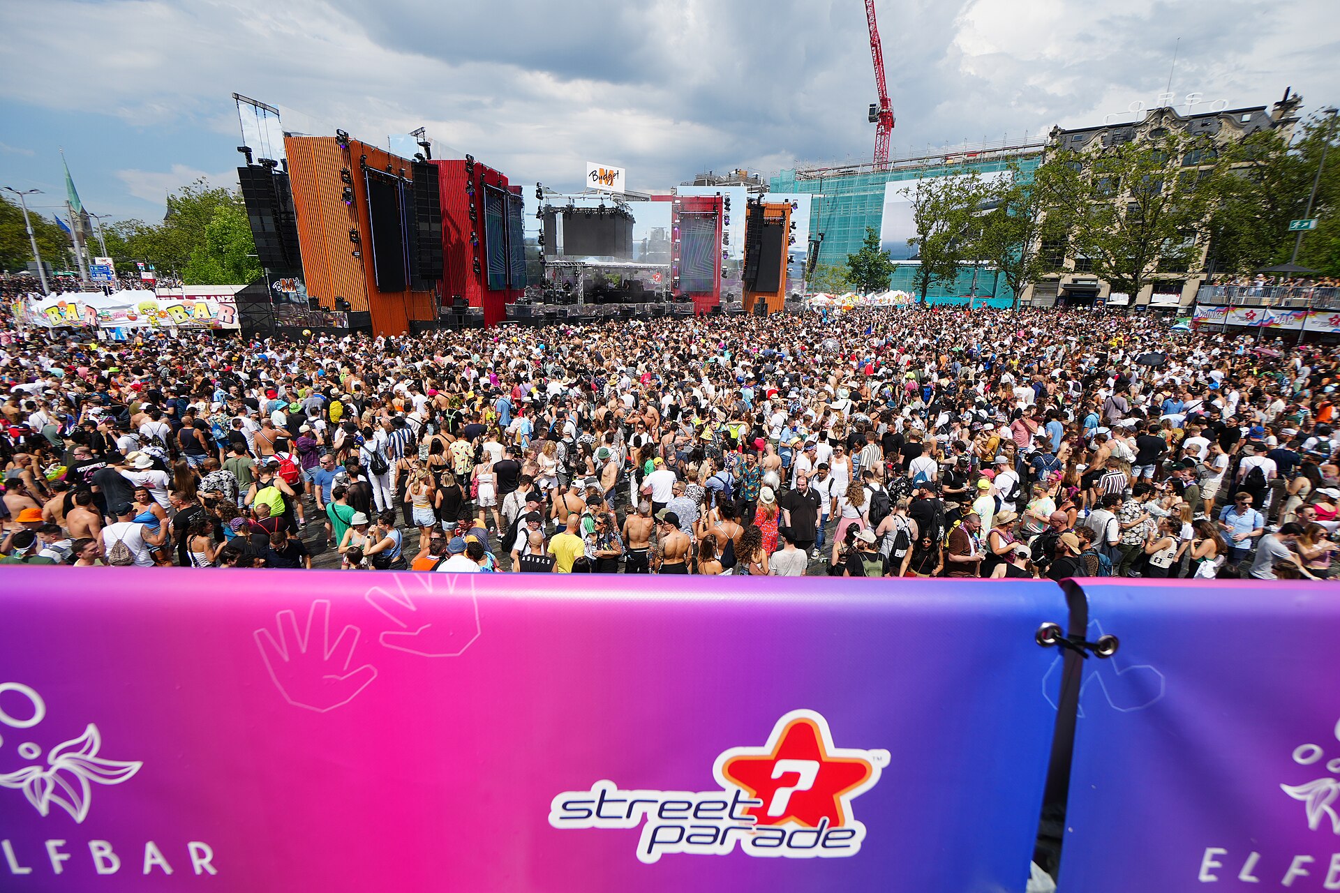
Zurich Street Parade
One of the world's largest electronic music parades.
We may earn a commission from bookings made through this link.
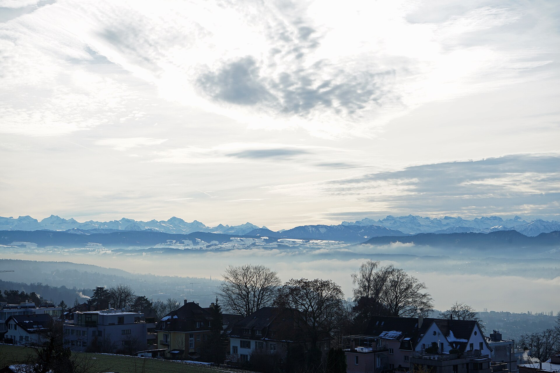
Adlisberg and Zürichberg Forest Walk
Forest paths above the city, with a zoo, a tower and a view over the lake.
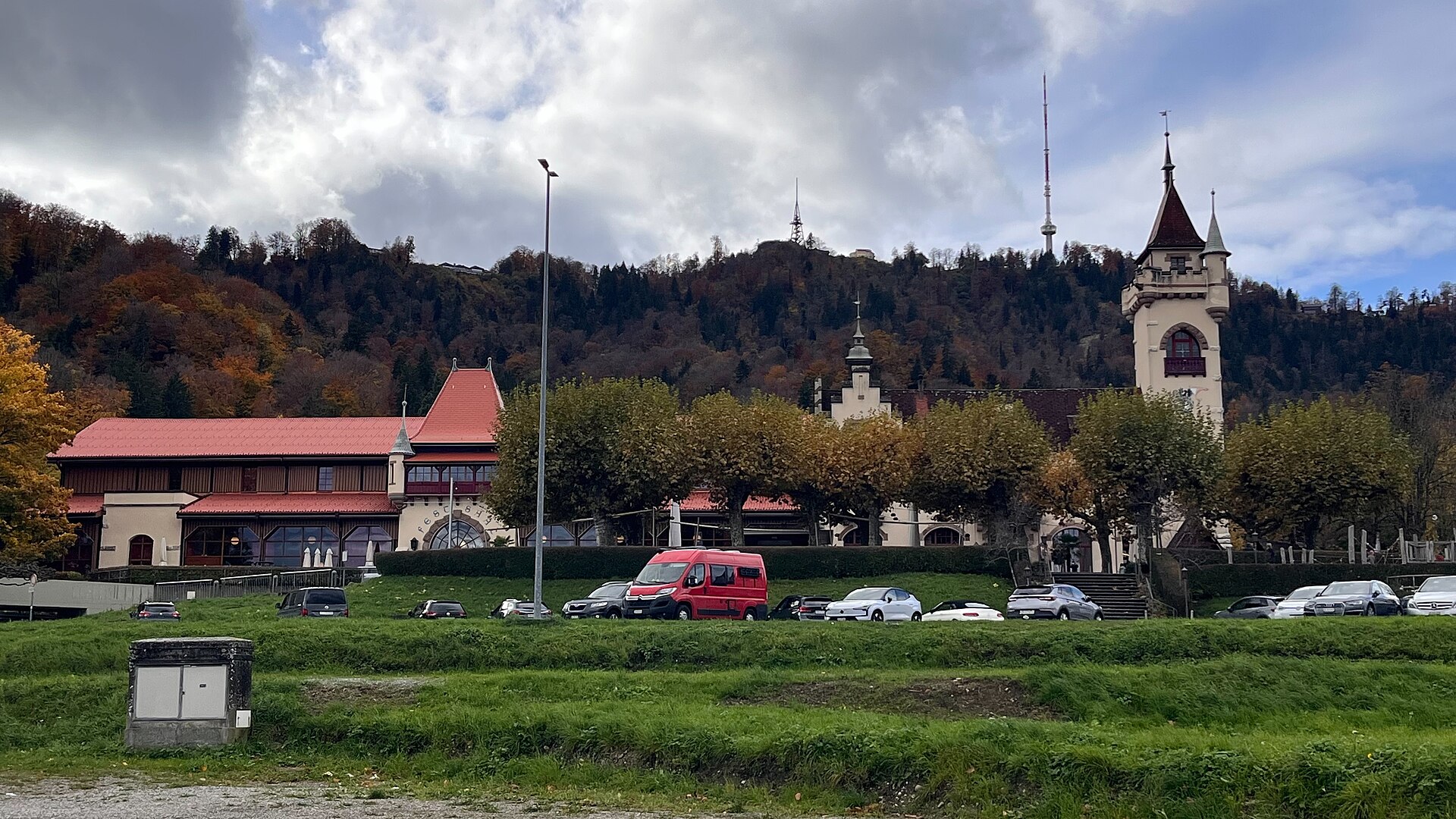
Albisgüetli Country Music Festival
Switzerland's longest-running and most iconic country music festival, spanning a full month of live concerts, line dance nights, and American breakfast shows at the foot of Uetliberg.
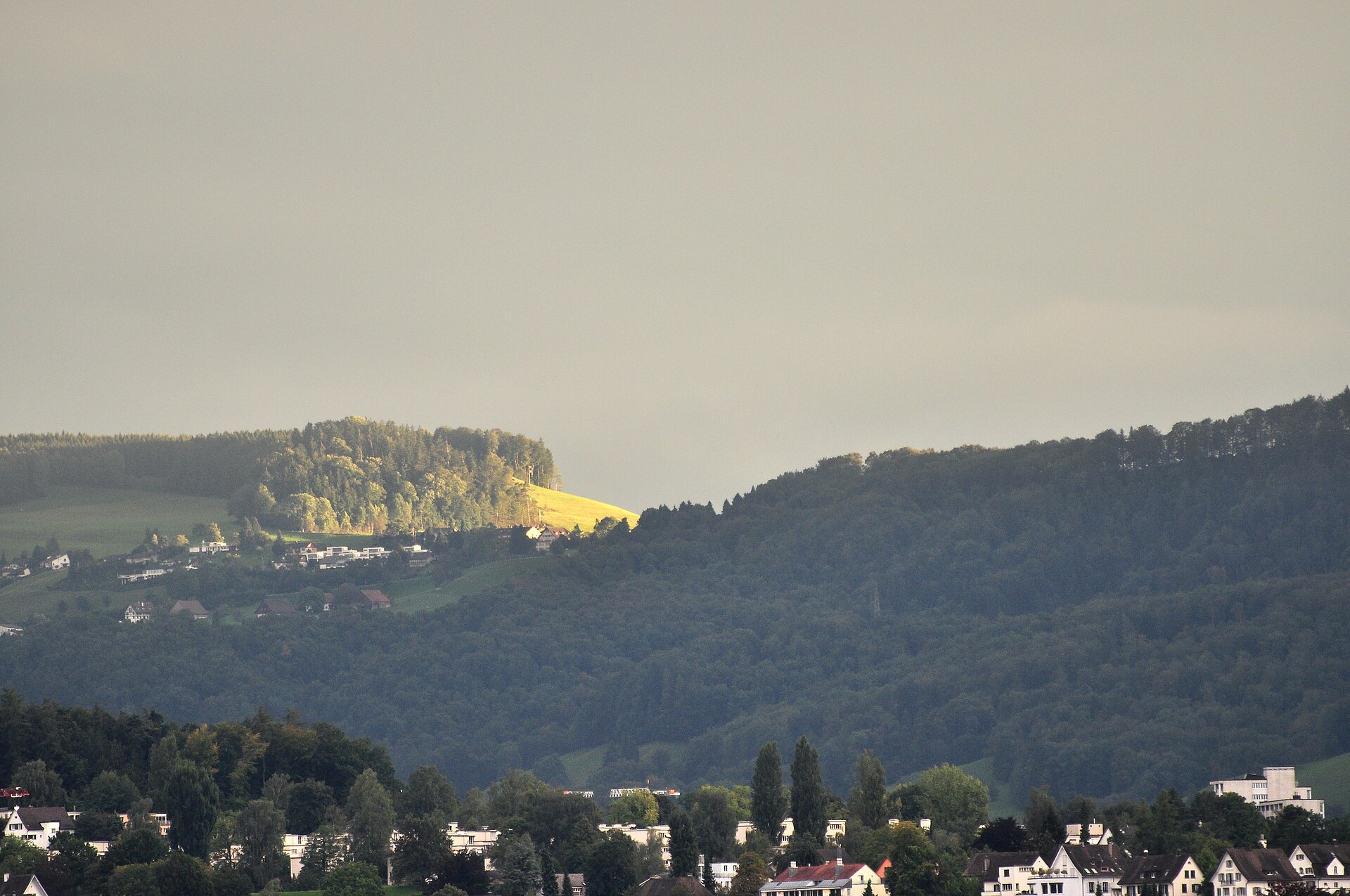
Albishorn and the Albis Ridge
A quiet ridge south of Zurich, with the Alps on show and a restaurant at the top.
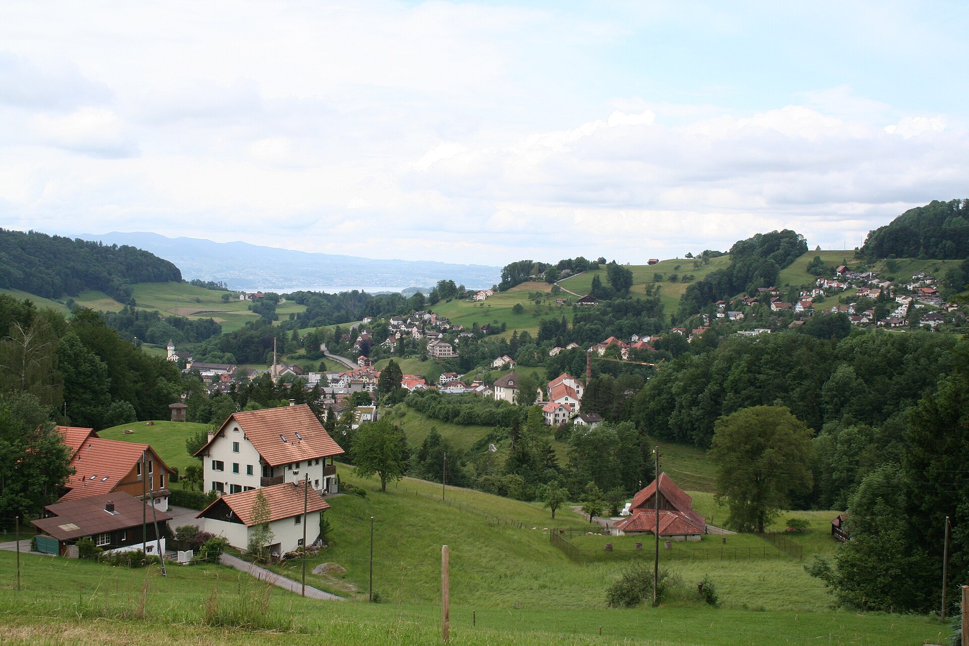
Bachtel Tower and the Zurich Oberland
The highest point in the Zurich Oberland, with a tower and a Black Forest view.