
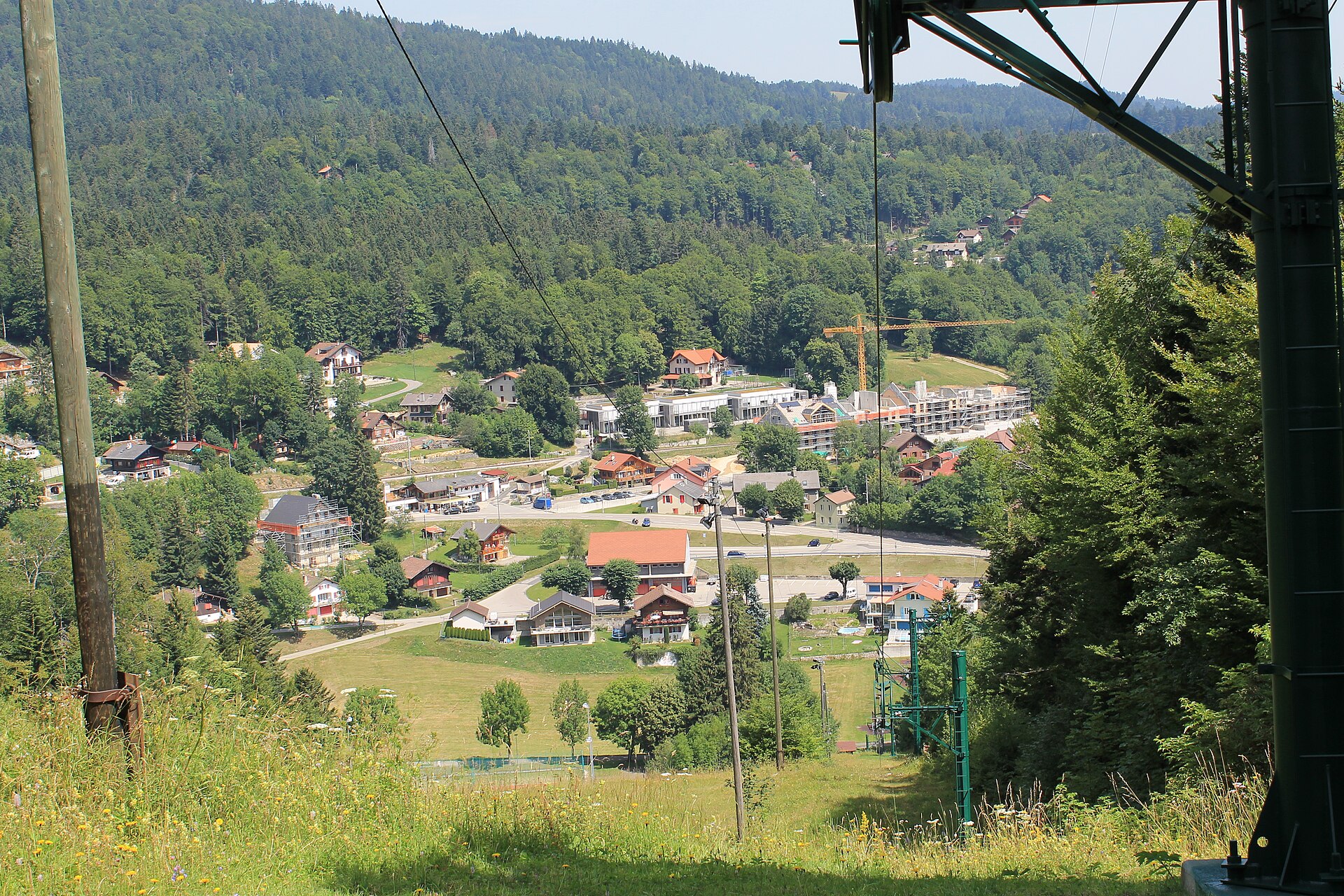
La Dôle from Saint-Cergue
La Dôle is the highest summit of the Vaud Jura above Lake Geneva, and on a clear day you see the lake, the city and the Mont Blanc range. A weather radar stands on top, and the ridge is a popular local outing for people from Geneva and Nyon. A small railway runs from Nyon to Saint-Cergue, and a path climbs from the village through forest and pasture to the ridge. The walk is long but not steep, and the last stretch is open and windy. SAC T2: T2 Mountain hiking: steep in places, sure feet needed
- Distance
- 12 km
- Duration
- 4.5 h
- Ascent
- 650 m
- Difficulty
- Moderate
At a glance
3/5
4/5
3/5
May – Oct
Route
The route, step by step
- 1
Saint-Cergue
Start at the station and follow signs to La Dôle.
- 2
Forest and pasture
A signed path climbs through woodland and farmland.
- 3
The ridge
The path reaches the open ridge with a long view.
- 4
Summit and return
Reach the summit and descend by the same path.
Elevation profile
Plan your day
Getting there & logistics
- Start
- From Nyon take the narrow-gauge railway to Saint-Cergue, about 35 minutes. Nyon is on the Geneva to Lausanne train line, about 20 minutes from Geneva.
- Finish
- Drive from Geneva via the A1 to Nyon and up to Saint-Cergue, about 40 minutes.
- Parking
- Paid parking in Saint-Cergue and at the Col de la Givrine.
Before you leave, check
- Is the lift, boat or railway running today, and when is the last one down?
- Forecast for morning and afternoon (MeteoSwiss), and any storm warnings.
- Trail status: snow, rockfall or closures (local tourist office or lift operator).
- Last public transport home, and your plan if you miss it.
- Hut or restaurant opening days, and whether you need a reservation.
What this day costs
- Train and PostBus fares to the start and home from the end. A Half Fare Card halves most of these.
- Parking, if you drive: day rates vary by place and season, and some car parks fill early.
- Food and drink: mountain restaurants cost noticeably more than the valley. A picnic cuts the day cost sharply.
- Entry fees where they apply, for example caves, gorges or lakeside facilities.
Plan B if the weather turns
Visit Nyon castle and the Roman museum.
Good to know
- Rainy day
- Visit Nyon castle and the Roman museum.
- With kids
- Suitable for children who can walk 4 hours.
- Dogs
- Allowed on lead.
Stay & rest
Rest options & mountain huts
Saint-Cergue restaurants
A few places near the station.
Alpine farms on the route
Seasonal cheese and drinks.
Nyon lakefront cafés
A choice of places after the walk.
Where to stay
Budget – Geneva Hostel
A simple hostel near the station.
Mid-range – Hotel Les Armures
A four-star hotel in a historic building.
Upscale – Beau-Rivage Geneva
A five-star hotel on the lake.
We may earn a commission from bookings made through this link.
Gear
Essential trail gear
For this hike
- Sturdy shoes
- Wind jacket
- Sun cream
- Poles
- Water and a picnic
Always
- Sturdy hiking shoes with real tread (trainers only on the flattest routes)
- Water, at least 1 to 1.5 litres per person, more in summer
- Rain shell and one warm layer, even on a sunny morning
- Sun cream, hat and sunglasses (UV rises about 10% per 1,000 m)
- Snacks or a picnic and some cash in coins and small notes
- Phone with offline map (SwissTopo or Komoot), power bank, ID
- Small first-aid kit: plasters, blister tape, painkillers
Background
Route notes
La Dôle is the highest summit of the Vaud Jura above Lake Geneva, and on a clear day you see the lake, the city and the Mont Blanc range. A weather radar stands on top, and the ridge is a popular local outing for people from Geneva and Nyon. A small railway runs from Nyon to Saint-Cergue, and a path climbs from the village through forest and pasture to the ridge. The walk is long but not steep, and the last stretch is open and windy. SAC T2: T2 Mountain hiking: steep in places, sure feet needed
Nearby hikes
- Dent de Vaulion – Vaulion, VD
- Lac de Joux Lakeshore Walk – Le Pont, VD
- Mont Tendre, the Highest Summit of the Swiss Jura – Col du Marchairuz, VD
Experiences near this hike
We may earn a commission from bookings made through this link.
 Sponsoredfrom CHF 129Sponsoredfrom CHF 109
More things to do nearby
We may earn a commission from bookings made through this link.
Browse experiences on GetYourGuideDid you know?
Charlie Chaplin's body was stolen from his grave in Corsier-sur-Vevey in 1978 by two mechanics who demanded a ransom.
Science & InventionsVelcro was invented by Swiss engineer George de Mestral after he noticed burrs sticking to his dog's fur.
Geography & NatureThe Alps cover ~60% of the country.
You might also like
 Sponsored
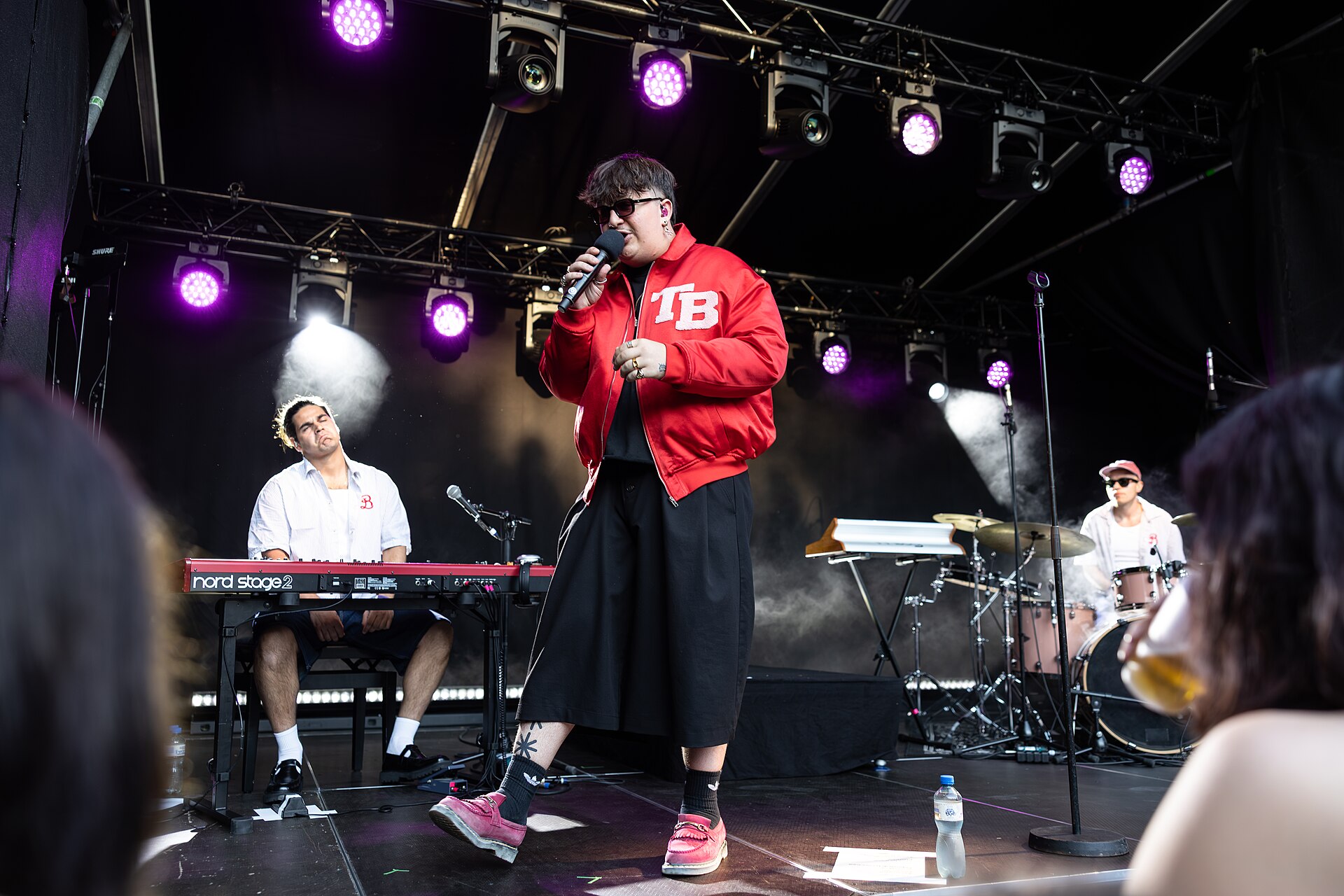
Montreux Jazz Festival
A legendary lakeside music festival on Lake Geneva.
We may earn a commission from bookings made through this link.
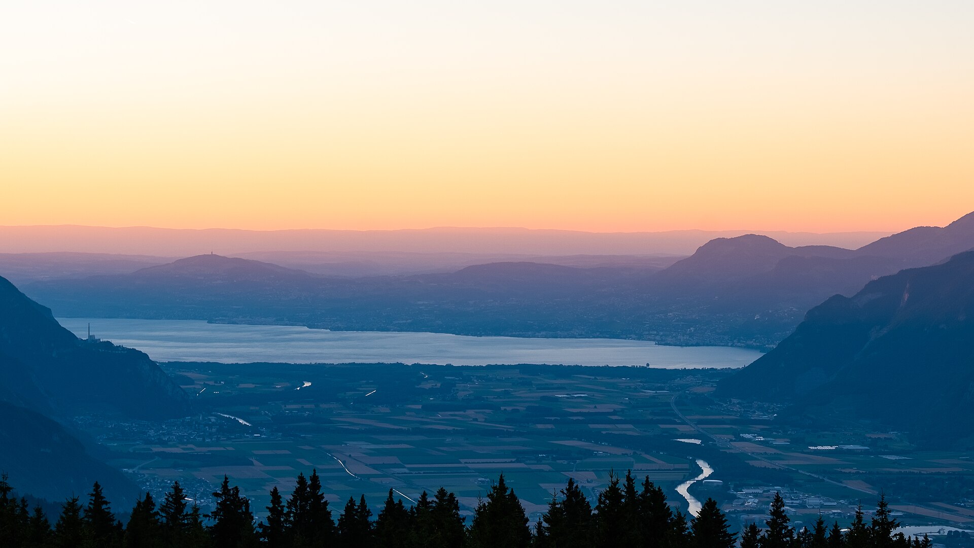
Aigle Castle to Vineyards Trail
A scenic, culture-filled walk winding through the historic terraced vineyards of Chablais surrounding medieval Aigle Castle (Château d'Aigle). Originating in the 12th century, the castle towers over acres of Chasselas vines backed by the dramatic limestone peaks of the Vaud Alps and Rhone Valley. The trail uses cobblestone village paths, quiet vineyard lanes, and low-gradient earth tracks, making it ideal for food, wine, and history enthusiasts seeking a relaxed day outing.
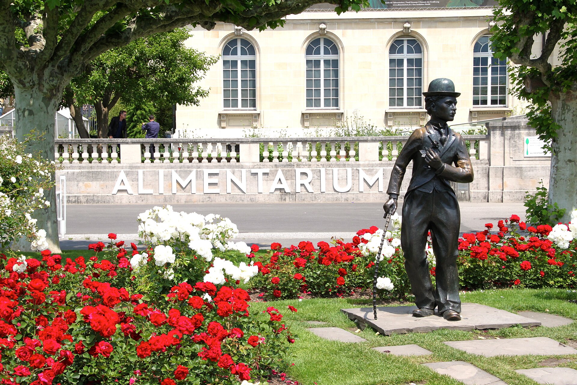
Vevey International Street Artists Festival 2027
Vibrant street festival filling Vevey's old town with acrobats, mime artists, and jugglers along Lake Geneva.
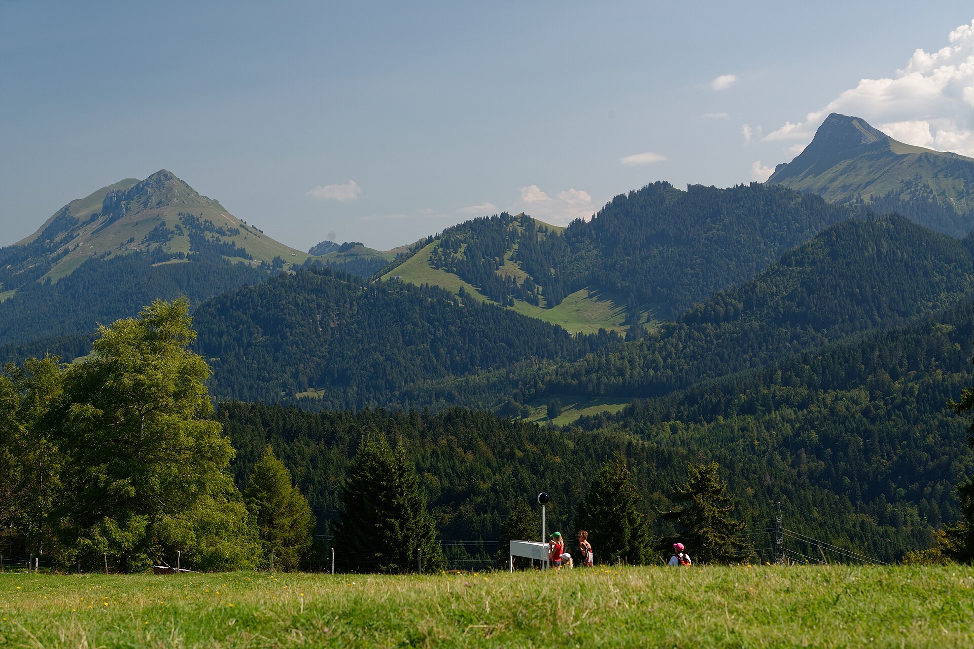
Brenta to Les Pléiades Panorama Trail
A magnificent sun-drenched pre-Alpine ridge trail linking the picturesque hillside village of Brent (above Montreux) with the panoramic summit plateau of Les Pléiades. Winding through blooming narcissus meadows, fragrant pine groves, and rolling dairy pastures, the trail offers breathtaking, wide-open vistas looking down across Lake Geneva (Lac Léman) toward the French Alps and the towering peaks of the Valais.
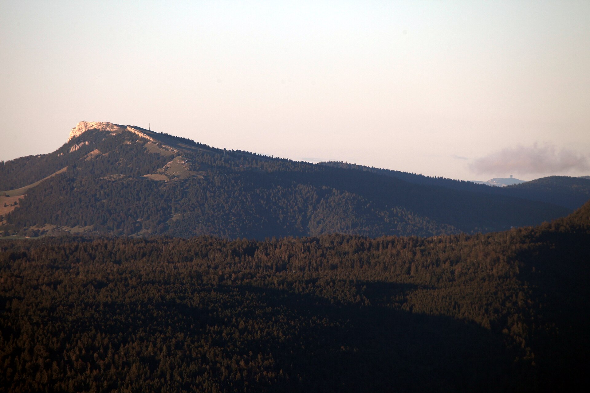
Chasseron from Les Rasses
A Jura summit with a big view and a village that makes music boxes.
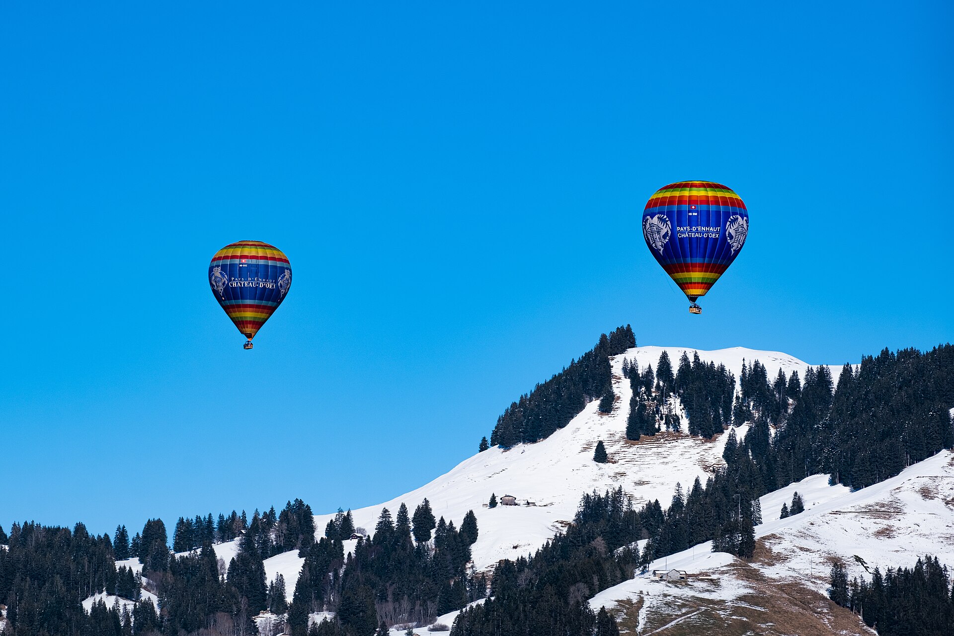
Château-d'Œx International Balloon Festival 2027
Nine-day alpine hot-air balloon gathering featuring spectacular night glows and international pilots in the Vaud Alps.