
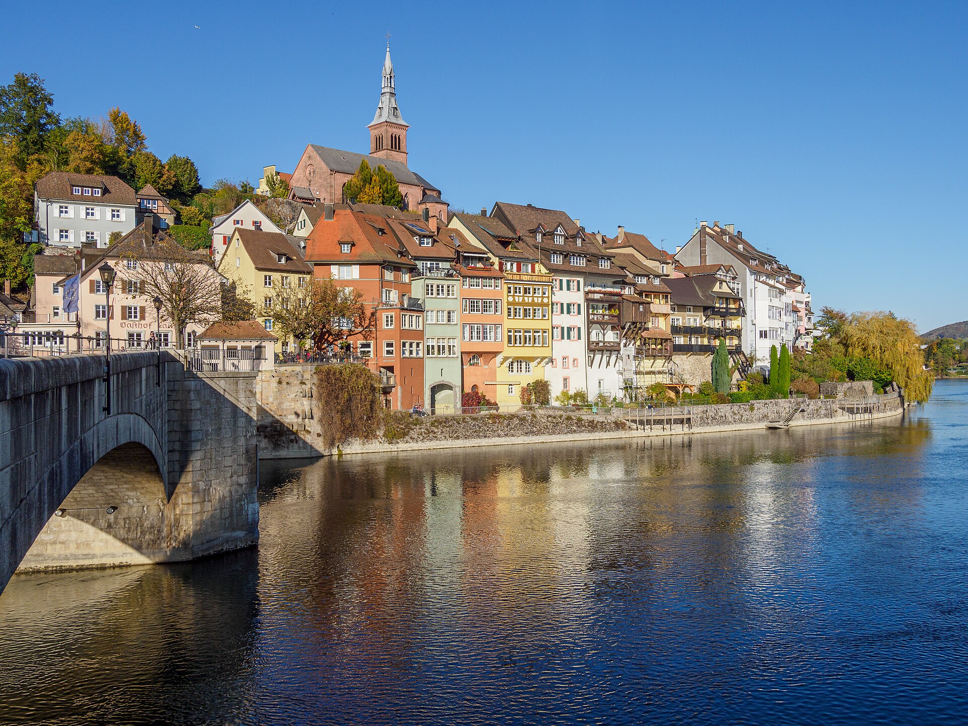
Laufenburg Old Town and the Rhine Path
Laufenburg is a small town on the Rhine, divided by the border into a Swiss and a German half and joined by a footbridge. The old town has stepped lanes, a church and a tower, and the Rhine narrows here into rapids that once held salmon. A path follows the river from the old town upstream through woods, with views of the water and the opposite bank. It is easy and quiet, with a medieval feel. Bring ID in case you cross into Germany. SAC T1: T1 Hiking: marked yellow trail, no real exposure
- Distance
- 6 km
- Duration
- 2 h
- Ascent
- 100 m
- Difficulty
- Easy
At a glance
1/5
4/5
3/5
Mar – Nov
Route
The route, step by step
- 1
Old town
Start at the Swiss old town and its lanes.
- 2
Footbridge
Cross to the German side and return.
- 3
River path
A path follows the Rhine through forest.
- 4
Return
Walk back to the old town.
Elevation profile
Choose your version
Short
Walk the old town and the footbridge, about 1 hour.
Classic
Walk the river loop, about 2 hours.
Extended
Continue along the Rhine for a longer day.
Plan your day
Getting there & logistics
- Start
- Take the train to Laufenburg from Basel (about 35 minutes). The old town is a short walk from the station.
- Finish
- Drive from Basel to Laufenburg, about 30 minutes.
- Parking
- Paid parking in Laufenburg near the old town.
Before you leave, check
- Is the lift, boat or railway running today, and when is the last one down?
- Forecast for morning and afternoon (MeteoSwiss), and any storm warnings.
- Trail status: snow, rockfall or closures (local tourist office or lift operator).
- Last public transport home, and your plan if you miss it.
- Hut or restaurant opening days, and whether you need a reservation.
What this day costs
- Train and PostBus fares to the start and home from the end. A Half Fare Card halves most of these.
- Parking, if you drive: day rates vary by place and season, and some car parks fill early.
- Food and drink: mountain restaurants cost noticeably more than the valley. A picnic cuts the day cost sharply.
- Entry fees where they apply, for example caves, gorges or lakeside facilities.
Plan B if the weather turns
Visit the Laufenburg old town museum.
Good to know
- Rainy day
- Visit the Laufenburg old town museum.
- With kids
- A good family walk, with a bridge to cross.
- Dogs
- Allowed on lead.
Stay & rest
Rest options & mountain huts
Old town restaurants
A few places in the old town.
Riverside cafes
Cafes by the Rhine.
Picnic spots
Benches by the river.
Where to stay
Budget – Youth Hostel Basel
A modern hostel near the Rhine.
Mid-range – Hotel Krafft
A traditional hotel on the Rhine.
Upscale – Les Trois Rois
A grand five-star hotel on the Rhine.
We may earn a commission from bookings made through this link.
Gear
Essential trail gear
For this hike
- Comfortable shoes
- Light jacket
- ID or passport
- Water
- Snacks
Always
- Sturdy hiking shoes with real tread (trainers only on the flattest routes)
- Water, at least 1 to 1.5 litres per person, more in summer
- Rain shell and one warm layer, even on a sunny morning
- Sun cream, hat and sunglasses (UV rises about 10% per 1,000 m)
- Snacks or a picnic and some cash in coins and small notes
- Phone with offline map (SwissTopo or Komoot), power bank, ID
- Small first-aid kit: plasters, blister tape, painkillers
Background
The story
Laufenburg was once a single town on both banks, and it was divided into Swiss and German halves in 1801.
Taste it
A Rhine fish dish or a Black Forest cake across the border.
Route notes
Laufenburg is a small town on the Rhine, divided by the border into a Swiss and a German half and joined by a footbridge. The old town has stepped lanes, a church and a tower, and the Rhine narrows here into rapids that once held salmon. A path follows the river from the old town upstream through woods, with views of the water and the opposite bank. It is easy and quiet, with a medieval feel. Bring ID in case you cross into Germany. SAC T1: T1 Hiking: marked yellow trail, no real exposure
Nearby hikes
- Rheinfelden Rhine Walk – Rheinfelden, AG
- Lenzburg Castle and Staufberg – Lenzburg, AG
- Fribourg and the Sarine Loop – Fribourg, FR
More things to do nearby
We may earn a commission from bookings made through this link.
Browse experiences on GetYourGuideDid you know?
You might also like
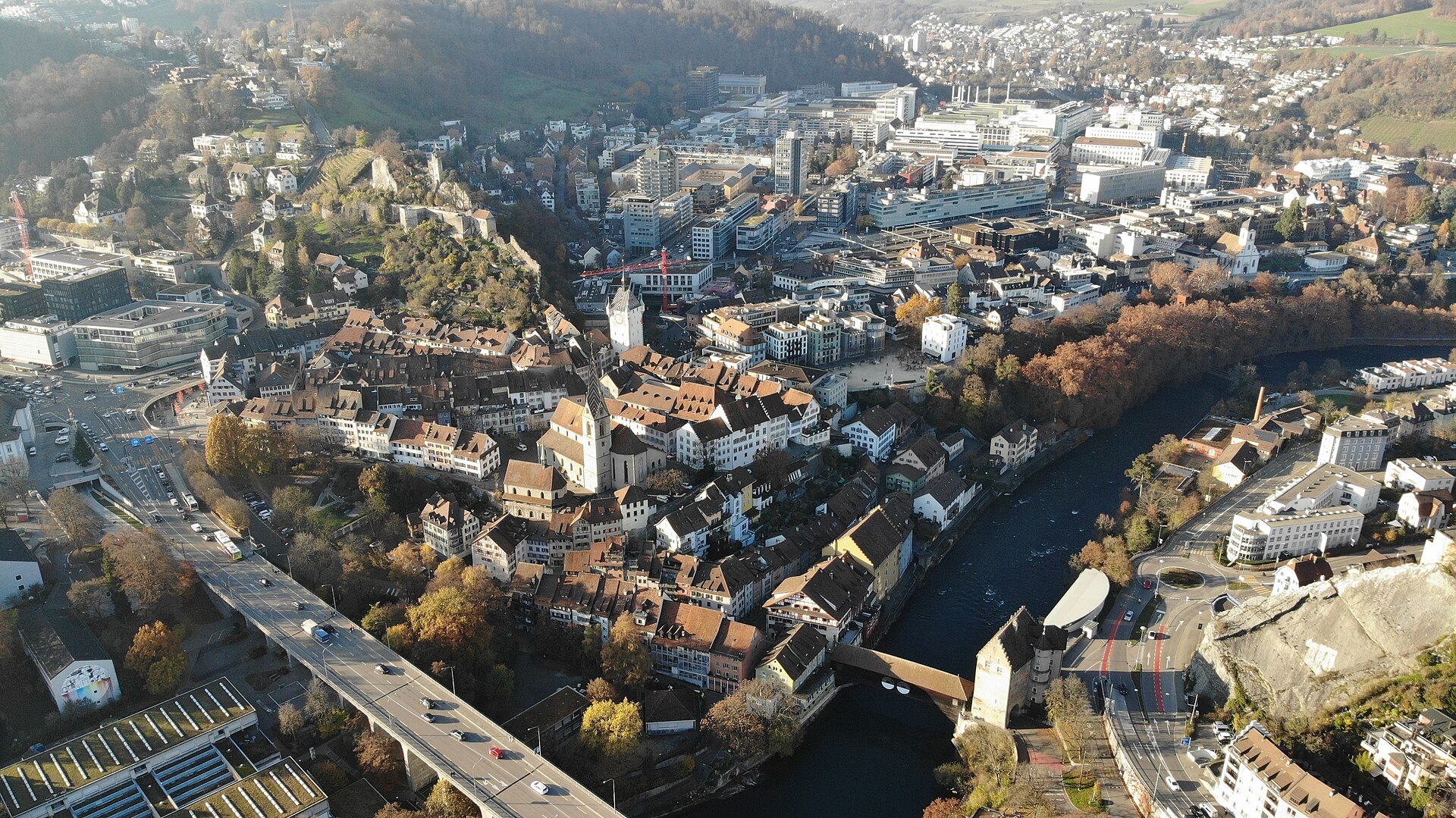
Baden Limmat Spa Walk
A thermal spa town on the Limmat with Roman roots and a river path.
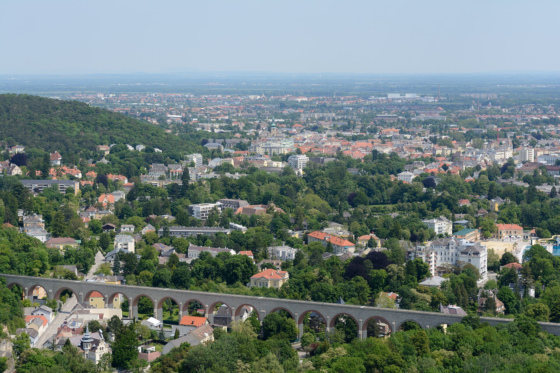
Bluesfestival Baden
Vibrant urban blues and jazz festival set in the historic spa town of Baden, featuring stellar open-air concerts along the Limmat river banks.
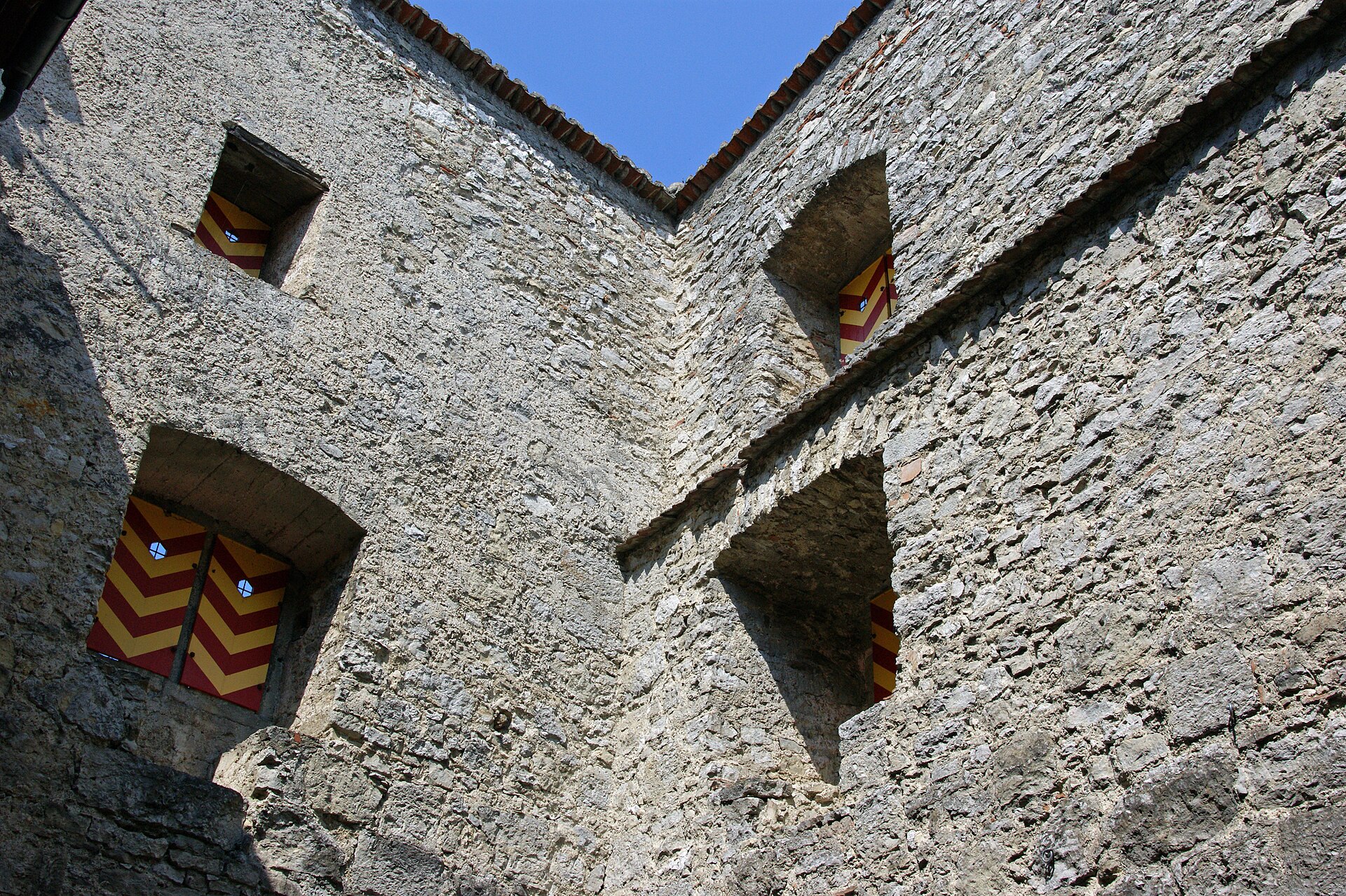
Habsburg Castle from Brugg
A short riverside and forest walk from Brugg up to the 11th-century ancestral castle of the Habsburgs, with a climbable tower.
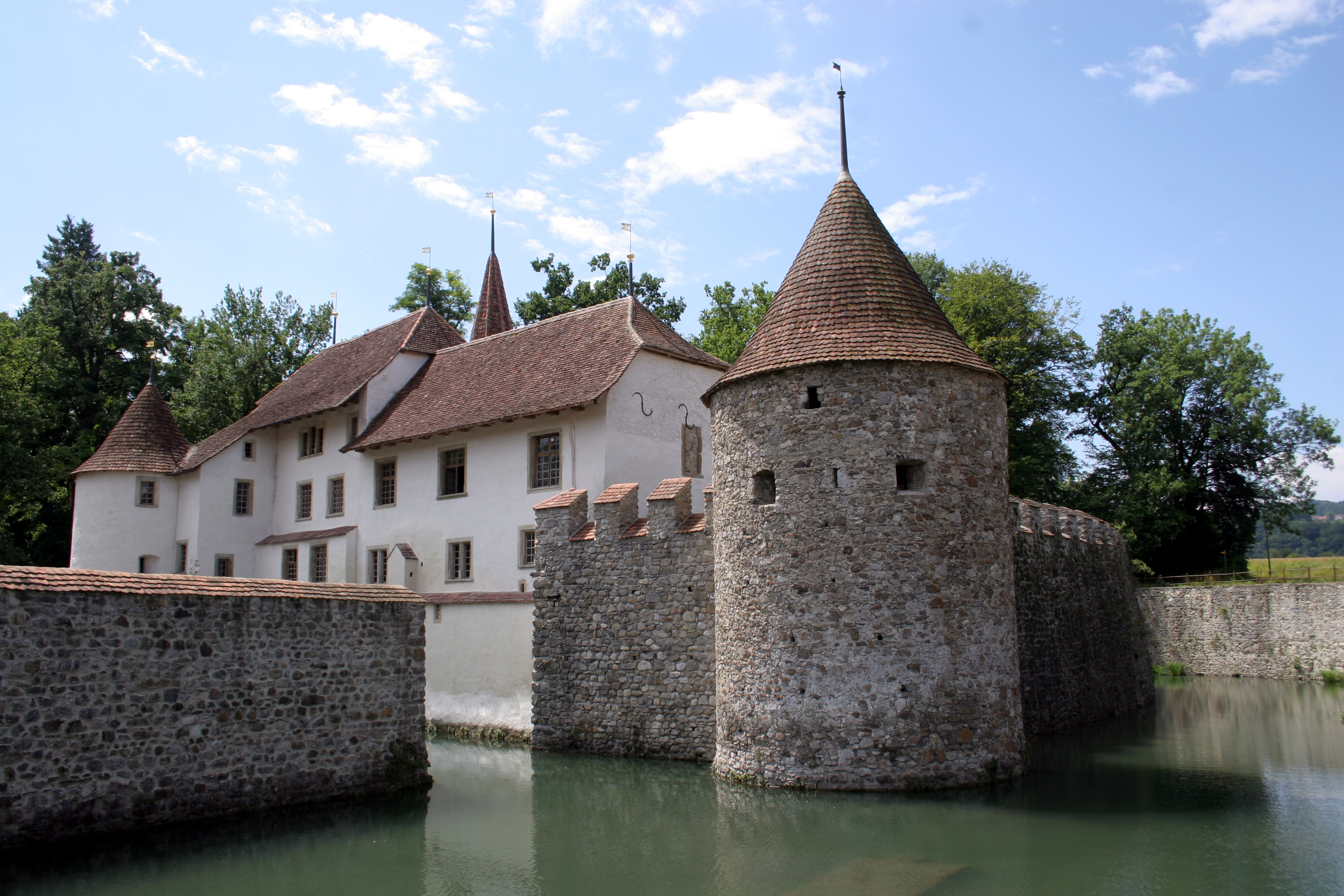
Hallwyl Water Castle and Lake Hallwil
A moated castle on a river and a lake path with a view of the Alps on clear days.
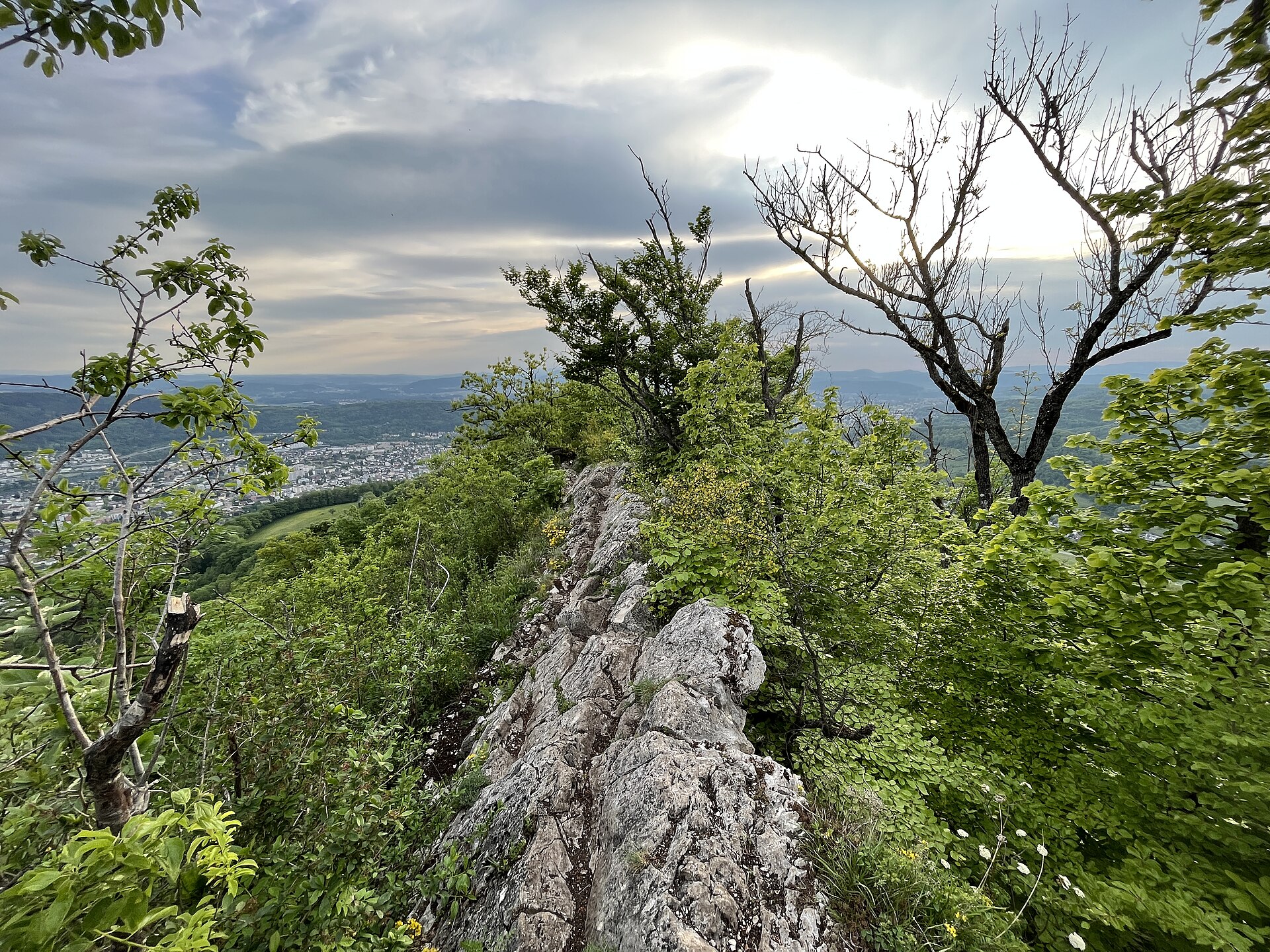
Lägern Ridge, Baden to Regensberg
A long wooded ridge, a spa town at one end and a medieval hilltop town at the other.
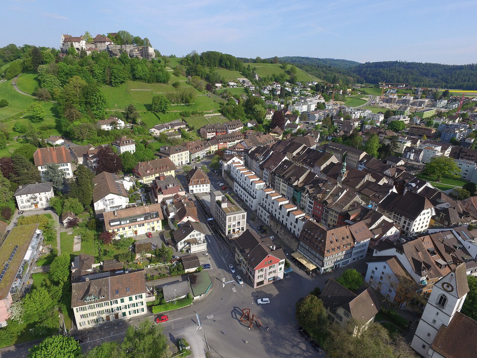
Lenzburg Castle and Staufberg
A hilltop castle, a hilltop church and a quiet loop between them.