
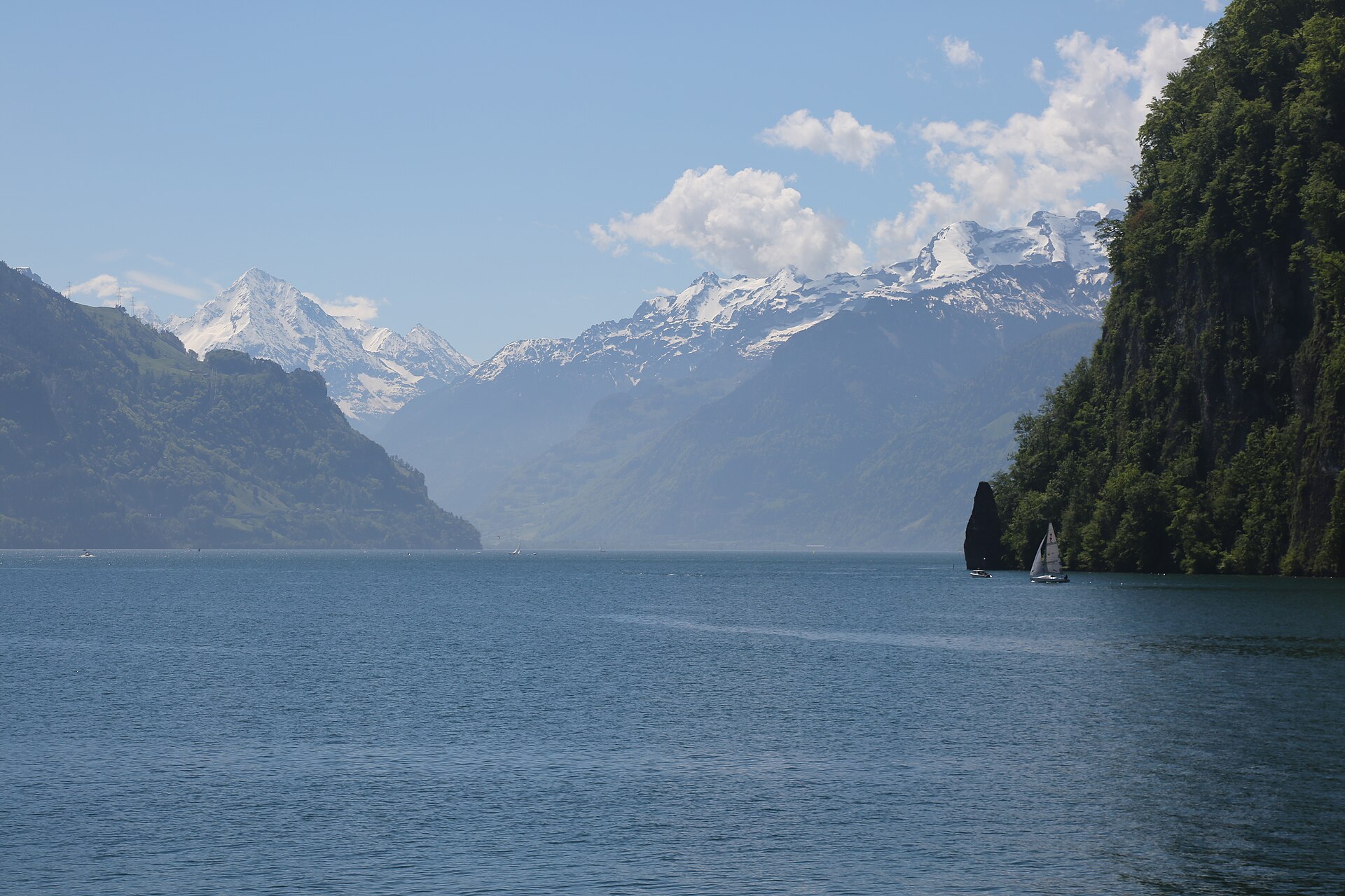
Maderanertal and the Hüfihütte
The Maderanertal is one of the wildest valleys in Uri, with forest, waterfalls and a historic hotel at its centre. At its head the Hüfi glacier fills the sky, and the Hüfihütte stands on a rock shoulder above the valley. A path leads through the valley and then climbs to the hut, steady and clear. It is a good day in a quiet corner of the Alps, and a night in the hut adds a lot. SAC T2: T2 Mountain hiking: steep in places, sure feet needed
- Distance
- 12 km
- Duration
- 5 h
- Ascent
- 800 m
- Difficulty
- Moderate
At a glance
4/5
5/5
1/5
Jun – Oct
Route
The route, step by step
- 1
Bristen
Start at the valley entrance and follow signs.
- 2
Valley path
A path follows the stream through forest.
- 3
Climb to the hut
A steady path climbs to the Hüfihütte.
- 4
Return
Descend by the same path.
Elevation profile
Choose your version
Short
Walk the valley path and return, about 3 hours.
Classic
Walk to the hut and back, about 5 hours.
Extended
Stay overnight at the hut.
Plan your day
Getting there & logistics
- Start
- Take the train to Amsteg-Silenen, then the PostBus to Bristen and Balmenschachen. Check the timetable.
- Finish
- Drive from Altdorf to Amsteg and Bristen, about 25 minutes.
- Parking
- A small paid car park at the trailhead.
Before you leave, check
- Is the lift, boat or railway running today, and when is the last one down?
- Forecast for morning and afternoon (MeteoSwiss), and any storm warnings.
- Trail status: snow, rockfall or closures (local tourist office or lift operator).
- Last public transport home, and your plan if you miss it.
- Hut or restaurant opening days, and whether you need a reservation.
What this day costs
- Train and PostBus fares to the start and home from the end. A Half Fare Card halves most of these.
- Parking, if you drive: day rates vary by place and season, and some car parks fill early.
- Food and drink: mountain restaurants cost noticeably more than the valley. A picnic cuts the day cost sharply.
- Entry fees where they apply, for example caves, gorges or lakeside facilities.
Plan B if the weather turns
Visit Altdorf or the Devil's Bridge.
Good to know
- Rainy day
- Visit Altdorf or the Devil's Bridge.
- With kids
- Suitable for older children who like hiking.
- Dogs
- Allowed on lead. Cattle on the pastures.
Stay & rest
Rest options & mountain huts
Hüfihütte
Meals and drinks, book ahead.
Hotel Maderanertal
A historic hotel in the valley.
Amsteg cafes
A few places at the valley mouth.
Where to stay
Budget – Youth Hostel Luzern
A modern hostel with lake views.
Mid-range – Hotel Wilden Mann
A characterful hotel.
Upscale – Hotel Schweizerhof Luzern
A five-star hotel on the lakefront.
We may earn a commission from bookings made through this link.
Gear
Essential trail gear
For this hike
- Sturdy boots
- Warm layers
- Sun cream
- Poles
- Water and snacks
Always
- Sturdy hiking shoes with real tread (trainers only on the flattest routes)
- Water, at least 1 to 1.5 litres per person, more in summer
- Rain shell and one warm layer, even on a sunny morning
- Sun cream, hat and sunglasses (UV rises about 10% per 1,000 m)
- Snacks or a picnic and some cash in coins and small notes
- Phone with offline map (SwissTopo or Komoot), power bank, ID
- Small first-aid kit: plasters, blister tape, painkillers
Background
The story
The Maderanertal is a protected valley in Uri known for its mineral finds and its historic hotel.
Taste it
A Uri cheese platter and a barley soup at the hut.
Route notes
The Maderanertal is one of the wildest valleys in Uri, with forest, waterfalls and a historic hotel at its centre. At its head the Hüfi glacier fills the sky, and the Hüfihütte stands on a rock shoulder above the valley. A path leads through the valley and then climbs to the hut, steady and clear. It is a good day in a quiet corner of the Alps, and a night in the hut adds a lot. SAC T2: T2 Mountain hiking: steep in places, sure feet needed
Nearby hikes
- Bergseehütte from Göscheneralp – Göscheneralp, UR
- Andermatt to Oberalppass Historic Route – Urseren Valley, UR
- Wildhornhütte above Iffigenalp – Lenk, BE
More things to do nearby
We may earn a commission from bookings made through this link.
Browse experiences on GetYourGuideDid you know?
You might also like
Andermatt to Oberalppass Historic Route
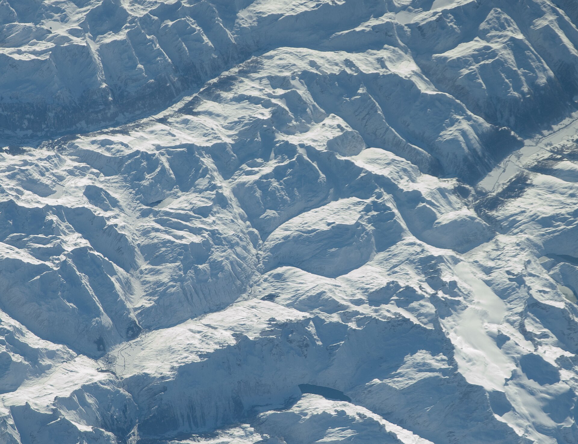
A historic alpine pass hike following ancient mule tracks along the infant Rhine river from the mountain crossroads of Andermatt up to the scenic summit of Oberalppass. The trail weaves past traditional Walser wooden barns, rushing torrents, and peat bogs under the shadow of towering Uri and Grisons peaks. Hikers can pause at the iconic red lighthouse marking the Rhine's source at Lake Toma (Lai da Tuma) just above the pass.
Arnisee Circuit & Lake Loop
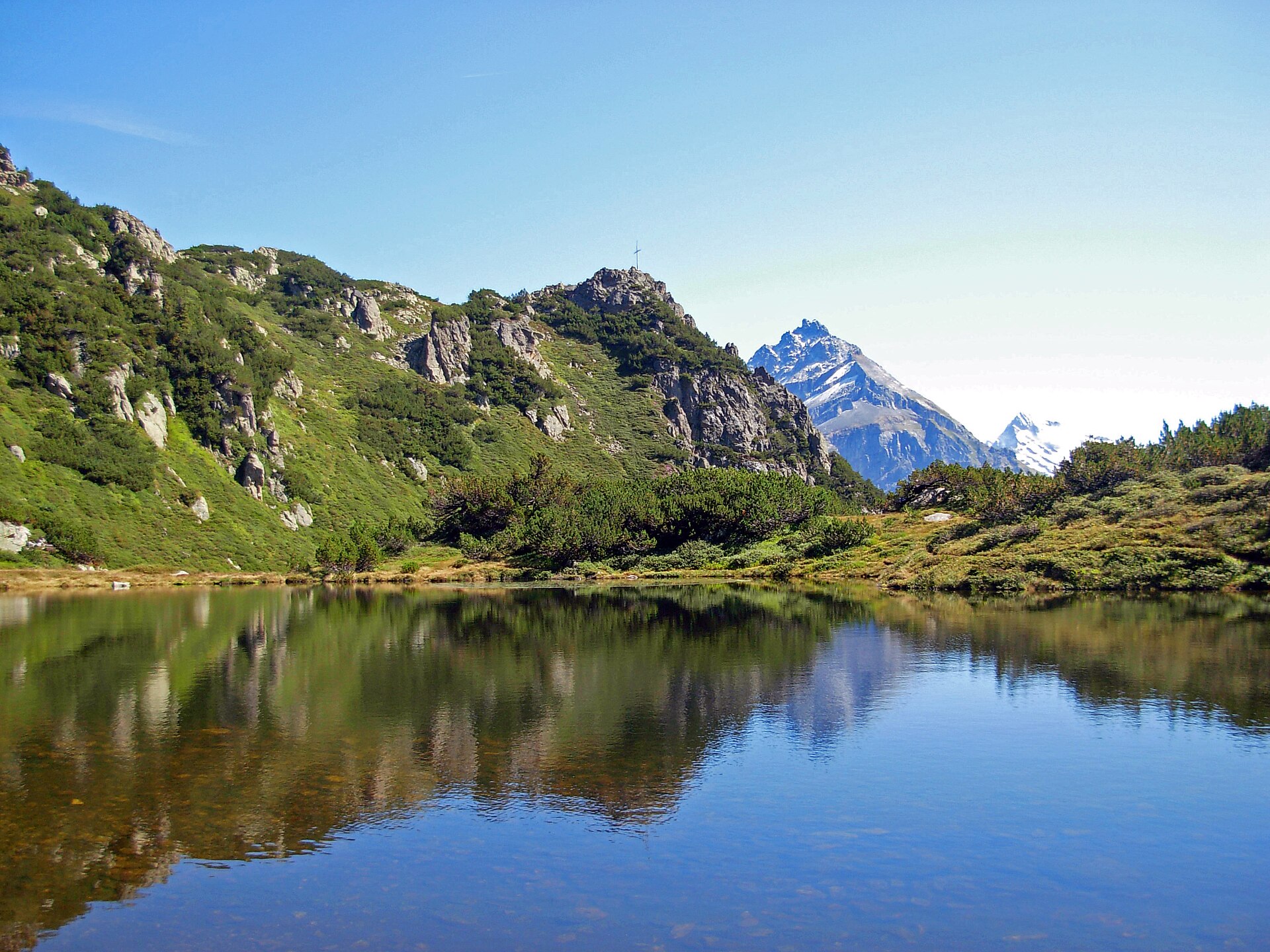
A peaceful and picturesque high-altitude lake loop centered around idyllic Lake Arnisee (Arnisee), perched on a sunny terrace high above the Reuss Valley. Accessible via charming small aerial cable cars from Intschi or Amsteg, the trail circles the sparkling, forest-fringed mountain lake before winding through mossy pine woods and grassy clearings. It is a favorite family-friendly destination offering stunning reflections of the Uri Alps.
Bergseehütte from Göscheneralp
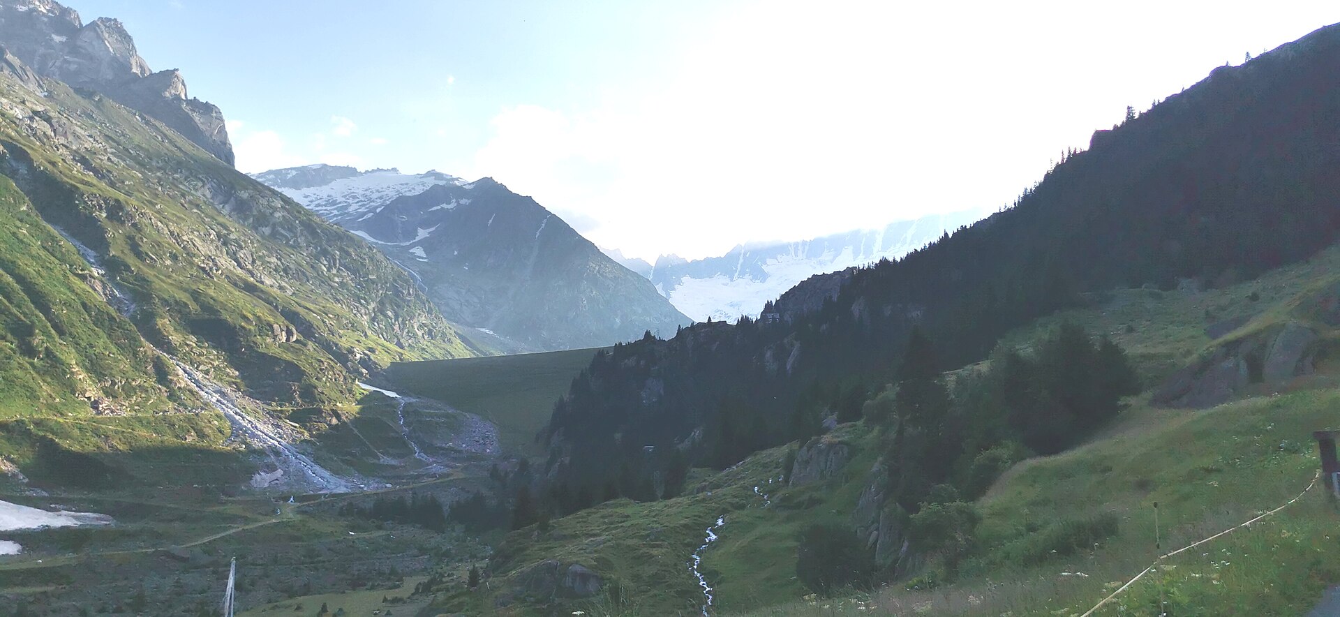
A steep rocky path up a granite gorge to a hut above a deep blue lake.
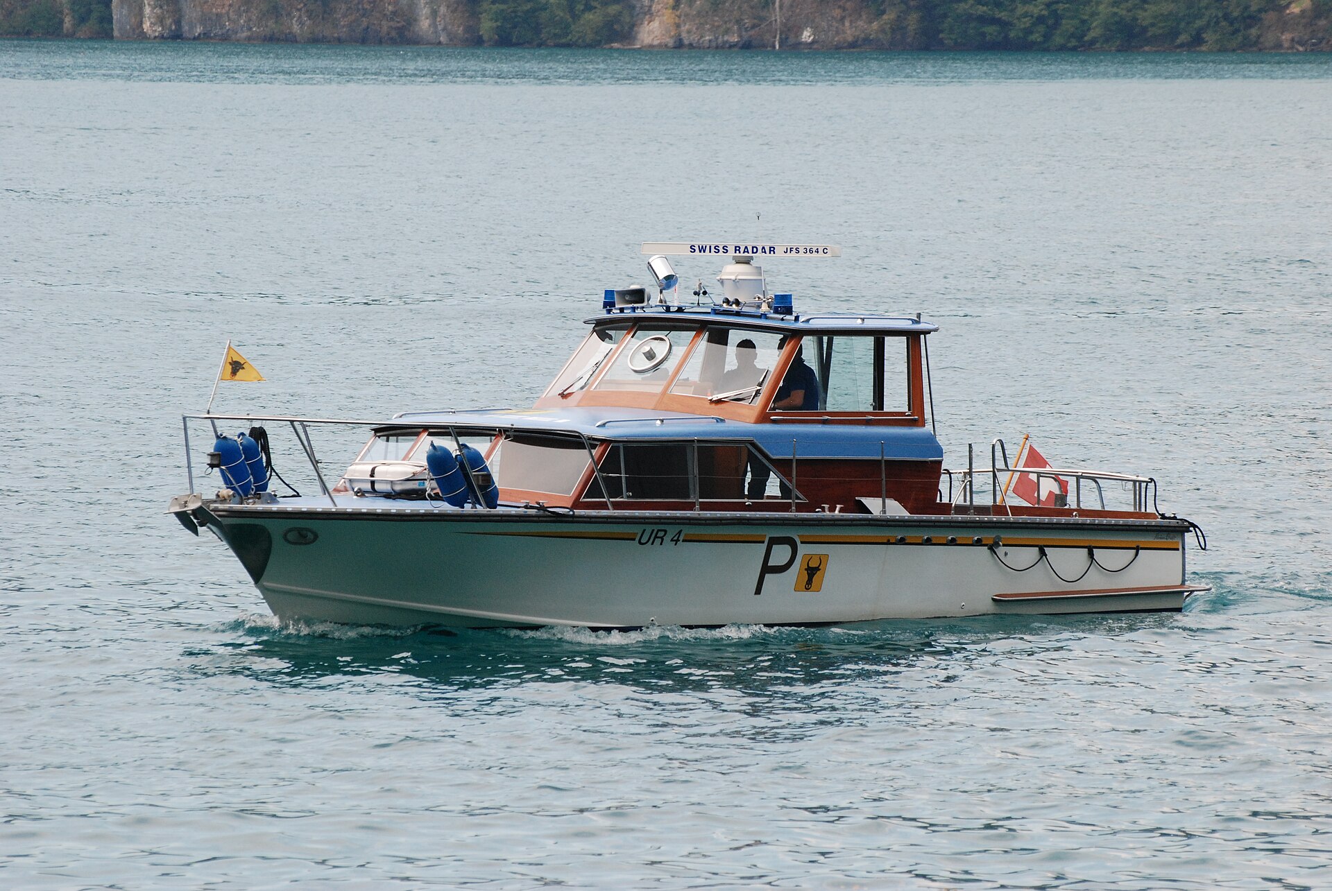
Brüggli to Sisikon Lake Uri Trail
A stunning and historic cliffside balcony trail running high above the deep blue waters of Lake Uri (Urnersee, the southern arm of Lake Lucerne) between Brüggli and Sisikon. Walking along parts of the historic Swiss Path (Weg der Schweiz), the route hugs sheer limestone cliff walls and ancient chestnut groves, offering magnificent fjord-like views across the lake toward the Rütli meadow and Schillerstein monument.
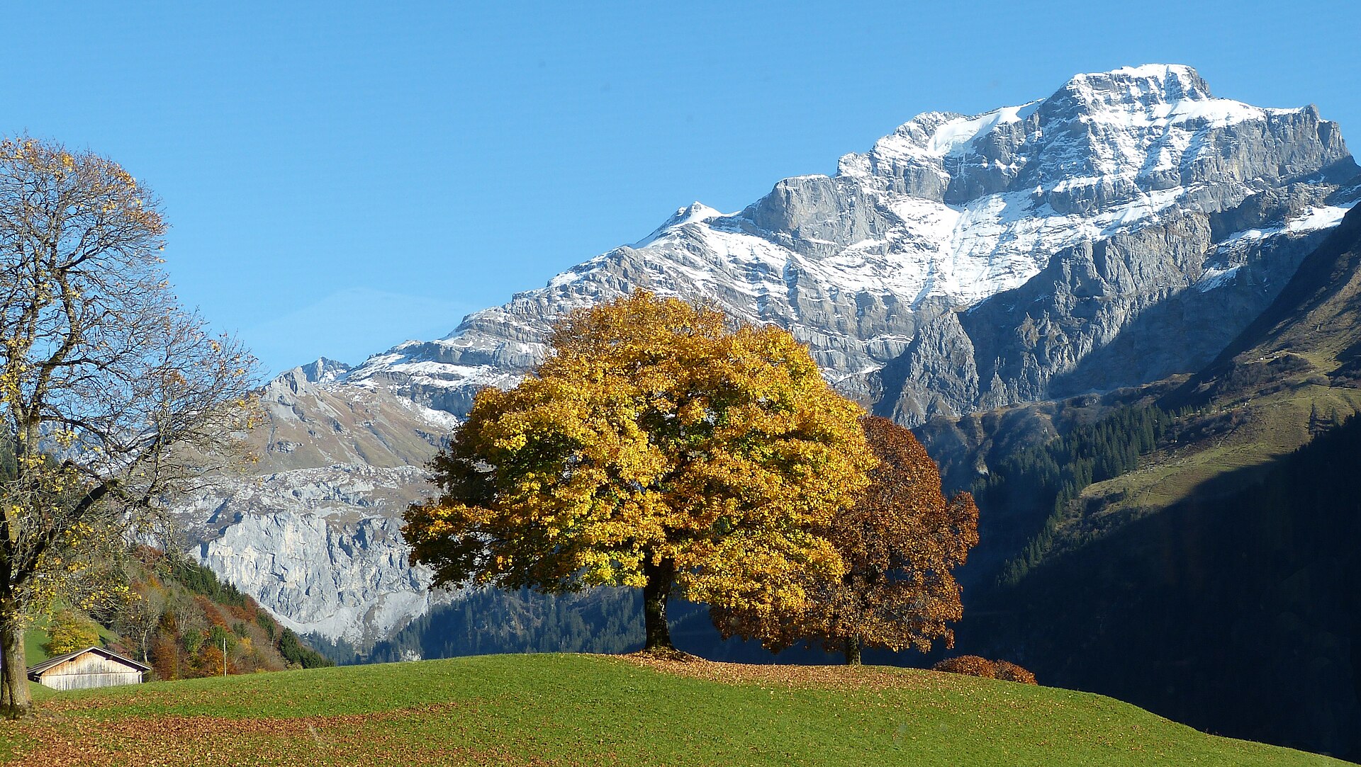
Klausen Pass & Fätschbach Waterfall Trail
A legendary high-alpine pass and valley hike exploring the historic Klausen Pass (1,948 m) connecting Canton Uri with Canton Schwyz. The trail meanders past roaring glacial streams, thunderous waterfalls (including the magnificent Fätschbach falls), historic stone mule-track bridges, and expansive pastoral alpine high plateaus grazed by Swiss cattle.
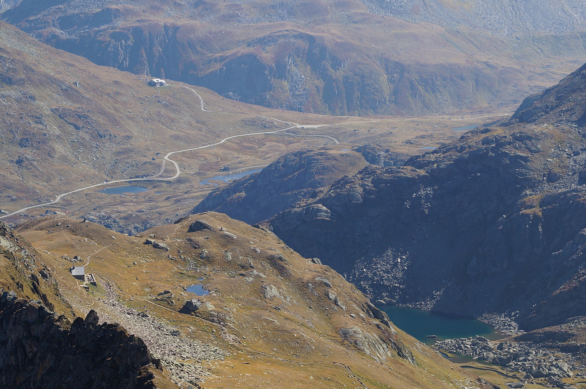
Oberalppass to Tomasee (Rhine Source Lake)
A legendary high-alpine hike leading to Tomasee (Lai da Tuma)—the official geographic source of the mighty Rhine River. Starting from the scenic Oberalp Pass (2,044 m) on the linguistic border between Uri and Grisons, the trail winds across high-alpine pastures and boulder fields up to a crystal-clear, deep blue tarn nestled beneath Piz Badus, where water begins its 1,230-kilometer journey to the North Sea.