
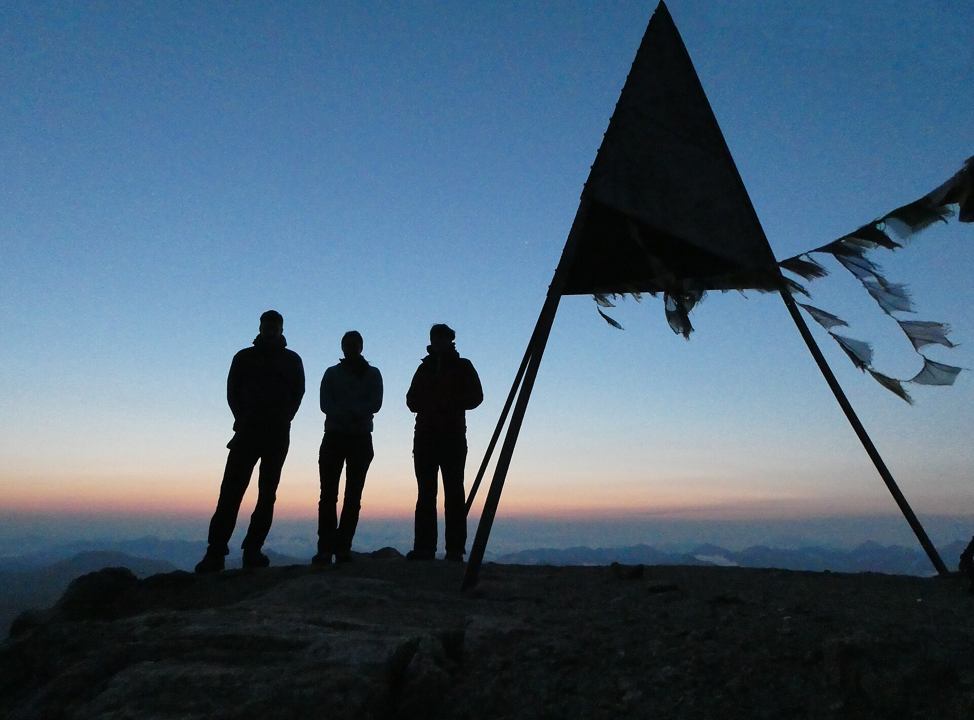
Piz Languard Summit
Piz Languard, at 3,262 metres above Pontresina, is the kind of summit that feels bigger than the effort it costs. You start at Alp Languard after a chairlift ride and climb about 940 metres over roughly 10 kilometres return on a clear, mostly non-technical path, with only the final stretch over rocky ground and scree. It is a real mountain, not a stroll: high, long and exposed to the weather. From the top you look straight across to the Bernina group with Piz Bernina and Piz Palü, the Engadin lakes, and into Italy on a clear day.
- Distance
- 10 km
- Duration
- 6 h
- Ascent
- 940 m
- Difficulty
- Hard
At a glance
Jul – Sep
Safety warning
A high, exposed three-thousander. The summit is above 3,000 metres, so acclimatise before attempting it and start early, as storms often build by the afternoon. The last 400 metres cross rocky ground and scree where hands are sometimes needed; do not go if thunderstorms are forecast and take care on loose scree on the descent.
Route
The route, step by step
- 1
Pontresina to Alp Languard
Take the chairlift to Alp Languard (about 2,300 m).
- 2
Georgy hut
A steady climb to the Georgy hut at about 2,870 m, with a break at the hut.
- 3
Summit ridge
The last 400 m are over rocky ground and scree. Some sections use hands.
- 4
Descent
Return the same way, taking care on loose scree.
Elevation profile
Plan your day
Getting there & logistics
- Start
- Take the Rhaetian Railway to Pontresina, then walk or take a bus to the Languard chairlift in the village and ride it up to Alp Languard at about 2,300 metres.
- Finish
- Return the same way, taking care on the loose scree, back to Alp Languard and the chairlift down to Pontresina.
- Parking
- Pontresina has several paid car parks near the chairlift. If driving, reach Pontresina via the Julier pass from Chur, about two hours.
Before you leave, check
- Is the lift, boat or railway running today, and when is the last one down?
- Forecast for the morning and afternoon (MeteoSwiss), and any storm warnings.
- Trail status: snow, rockfall or closures (ask the local tourist office or check the lift operator).
- Last public transport home, and your plan if you miss it.
- Hut or restaurant opening days, and whether you need a reservation.
What this day costs
- Mountain lift, cable car or cogwheel train: usually the biggest cost of the day. Ask for the return fare and check pass discounts.
- Train and PostBus fares to the start and home from the end. A Half Fare Card halves most of these.
- Parking, if you drive: day rates vary by place and season, and some car parks fill early.
- Food and drink: mountain restaurants cost noticeably more than the valley. A picnic cuts the day cost sharply.
- Entry fees where they apply, for example caves, gorges or lakeside facilities.
Plan B if the weather turns
Visit the Segantini Museum or the Pontresina Museum Alpin.
Good to know
- Rainy day
- Visit the Segantini Museum or the Pontresina Museum Alpin.
- With kids
- Not recommended for young children.
- Dogs
- Possible, but the scree sections are hard on paws.
Stay & rest
Rest options & mountain huts
Georgy hut (2'870 m)
A high mountain hut near the summit, a welcome stop for a hot drink before the final rocky ridge.
Alp Languard restaurant (2'300 m)
At the chairlift top station, a good place to start or finish the walk.
Where to stay
Budget – Youth Hostel Pontresina
A simple, friendly hostel in Pontresina with an early-breakfast option, handy for a pre-chairlift start.
Mid-range – Hotel Walther
A traditional four-star hotel with a garden in the centre of Pontresina.
Upper tier – Grand Hotel Kronenhof
A grand hotel in Pontresina with a spa, well suited to recovery after the summit day.
We may earn a commission from bookings made through this link.
Gear
Essential trail gear
- Sturdy mountain boots: the summit ridge crosses rocky ground and scree where good ankle support matters.
- Warm layers, gloves and hat: it is cold and windy on an exposed three-thousander even on a sunny morning.
- Walking poles: a help on the long climb and on the loose scree of the descent.
- Helmet for loose rock, if you prefer, plus sunglasses, strong sun cream and at least 2 litres of water.
For this hike
- Sturdy mountain boots.
- Warm layers, gloves and hat.
- Walking poles.
- Helmet for loose rock if you prefer.
- Sunglasses and strong sun cream.
- At least 2 litres of water.
Always
- Sturdy hiking shoes with real tread (trainers only on the flattest routes).
- Water, at least 1 to 1.5 litres per person, more in summer.
- Rain shell and one warm layer, even on a sunny morning.
- Sun cream, hat and sunglasses (UV rises about 10% per 1,000 m).
- Snacks or a picnic and some cash in coins and small notes.
- Phone with offline map (SwissTopo or Komoot), power bank, ID.
- Small first-aid kit: plasters, blister tape, painkillers.
Background
Route notes
Piz Languard rewards an early, honest mountain day. Take the first chairlift to Alp Languard, or walk up earlier on foot, because storms often build by the afternoon over the Engadin. From the lift the path climbs steadily to the Georgy hut at about 2,870 metres, a natural break for a hot drink, before the last 400 metres over rocky ground and scree where you will sometimes use your hands. The summit opens a vast view of the Bernina group, Piz Bernina and Piz Palü, the Engadin lakes and, on a clear day, Italy. Because the top is above 3,000 metres, acclimatise beforehand, check the MeteoSwiss forecast, and simply do not go if thunderstorms are forecast. On the way down, take care on the loose scree, and if you are unsure about the terrain hire a local mountain guide. A rainy-day alternative is the Segantini Museum or the Pontresina Museum Alpin.
Maps and GPX
Use the official SwitzerlandMobility map (wanderland.ch) or the swisstopo app for navigation. Search the place names in the route steps above and download a GPX track from the official route page or from a trusted app such as Komoot. The elevation profile in this guide is indicative only.
Make it a trip: nearby hikes
The sheet also suggests pairing this with Val Roseg for a second or third day in the same area.
Nearby hikes
- Lago Bianco at the Bernina Pass – Ospizio Bernina, GR
- Fuorcla Surlej, Bernina Views – Silvaplana, GR
- Engadin Lakes & Silvaplana Panorama Trail – Upper Engadin, GR
Experiences near this hike
We may earn a commission from bookings made through this link.
 Sponsoredfrom CHF 159Sponsoredfrom CHF 179Sponsoredfrom CHF 129
More things to do nearby
We may earn a commission from bookings made through this link.
Browse experiences on GetYourGuideDid you know?
You might also like
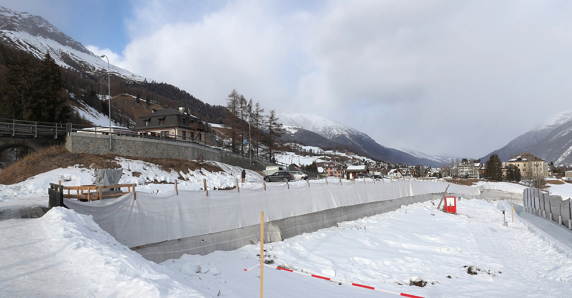
St. Moritz Olympia Bob Run World Cup 2027
Thrilling World Cup bobsleigh and skeleton racing on the world's only natural ice bob track.
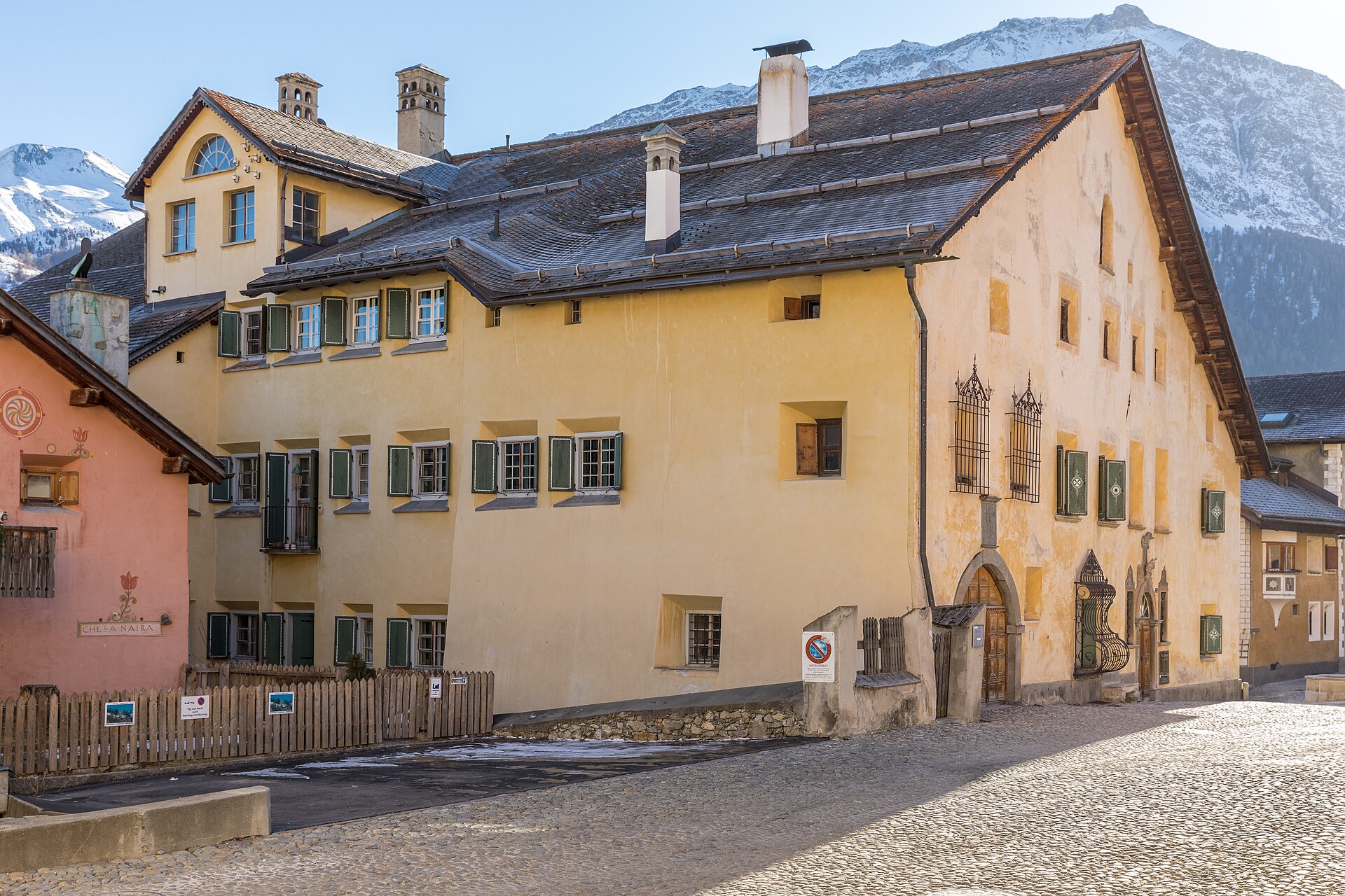
Engadin Art Days (E.A.T.) Zuoz 2027
Thought-provoking high-altitude symposium bringing together global artists, architects, and curators in historic Zuoz.
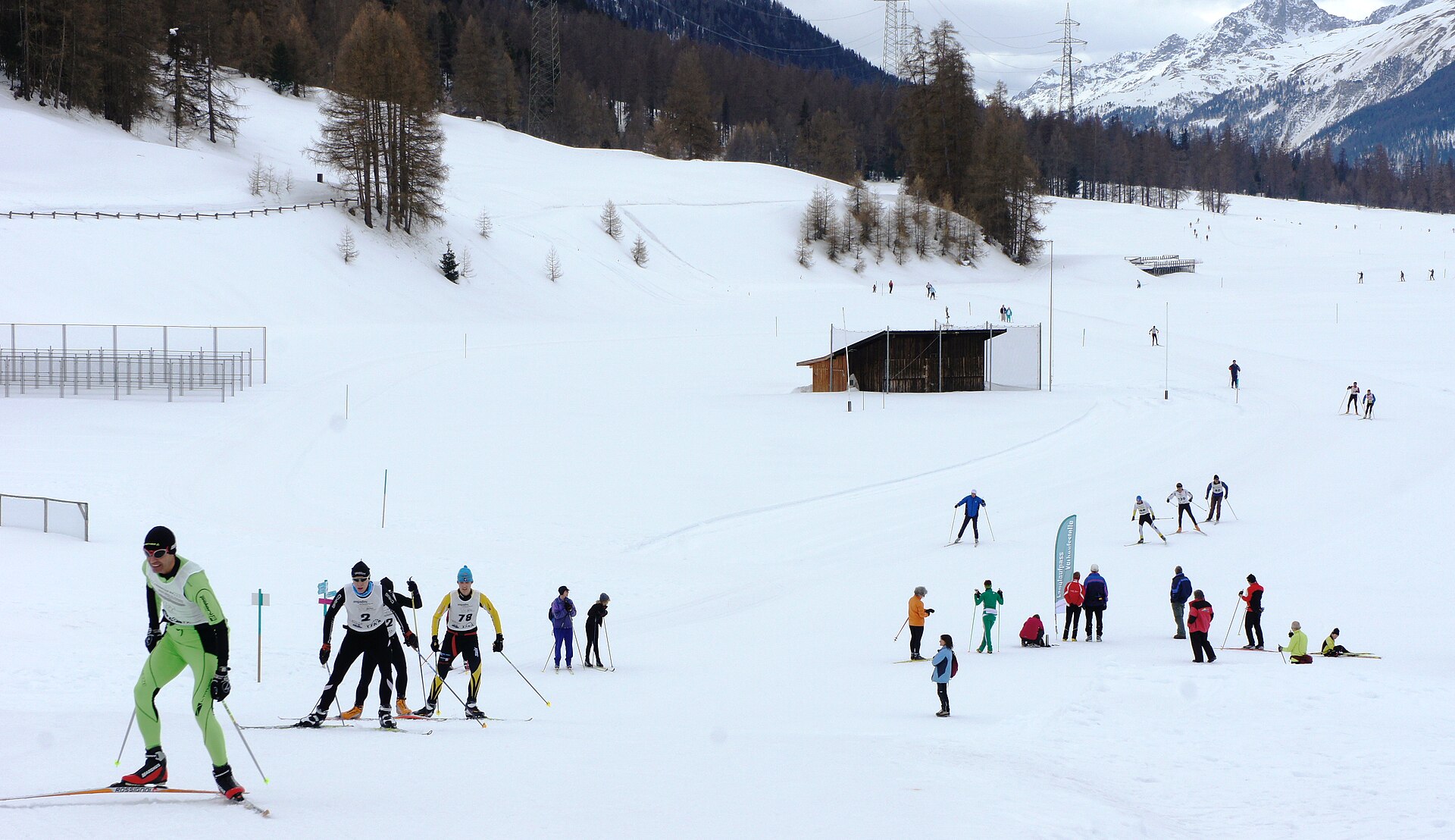
Engadin Ski Marathon 2027
Switzerland's largest cross-country ski race bringing 14,000 skiers across the frozen Engadin lakes.
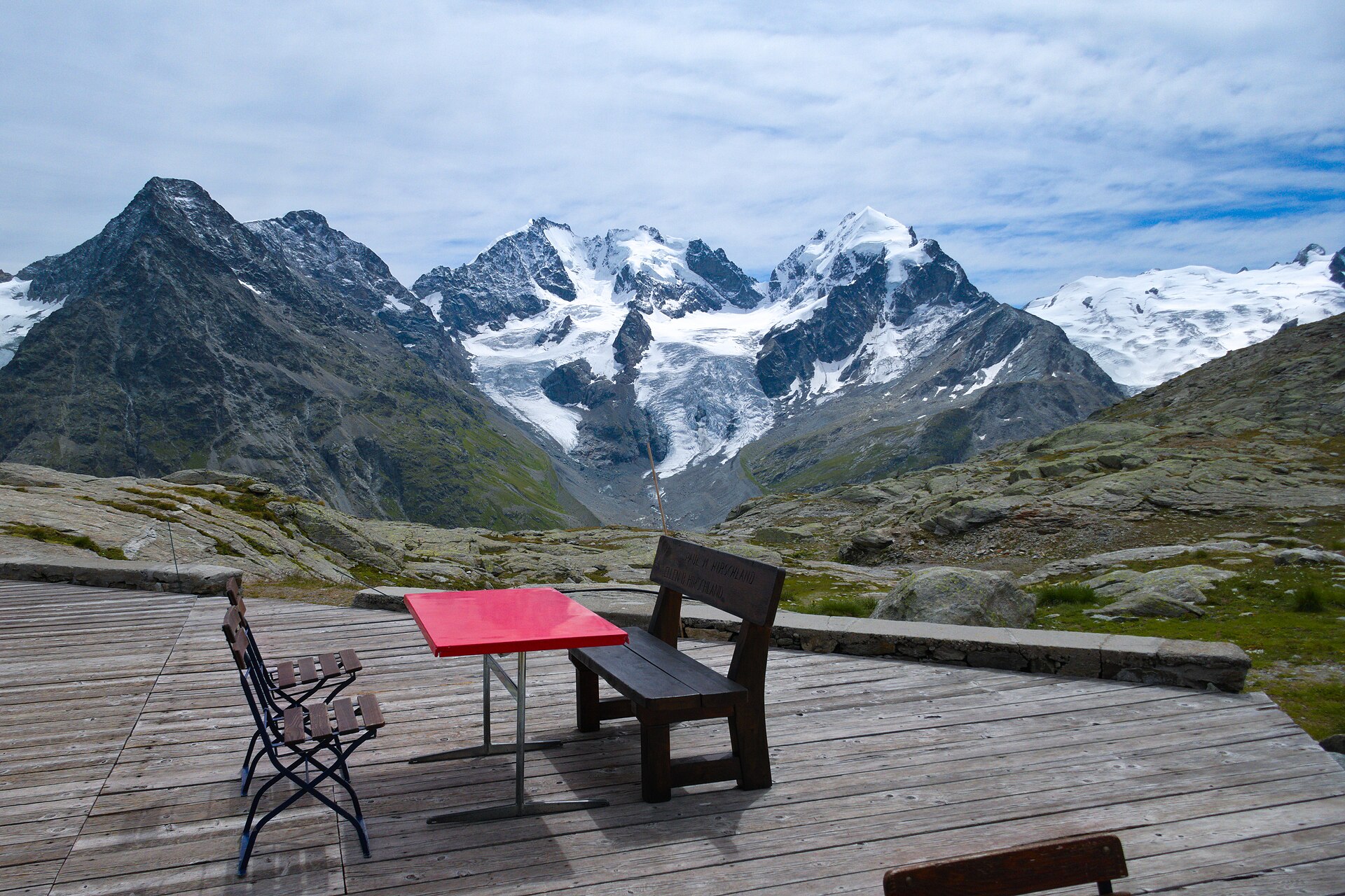
Fuorcla Surlej, Bernina Views
An 8 km walk from the Corvatsch Murtèl station to a 2,755 m saddle facing Piz Bernina and the Roseg glacier.
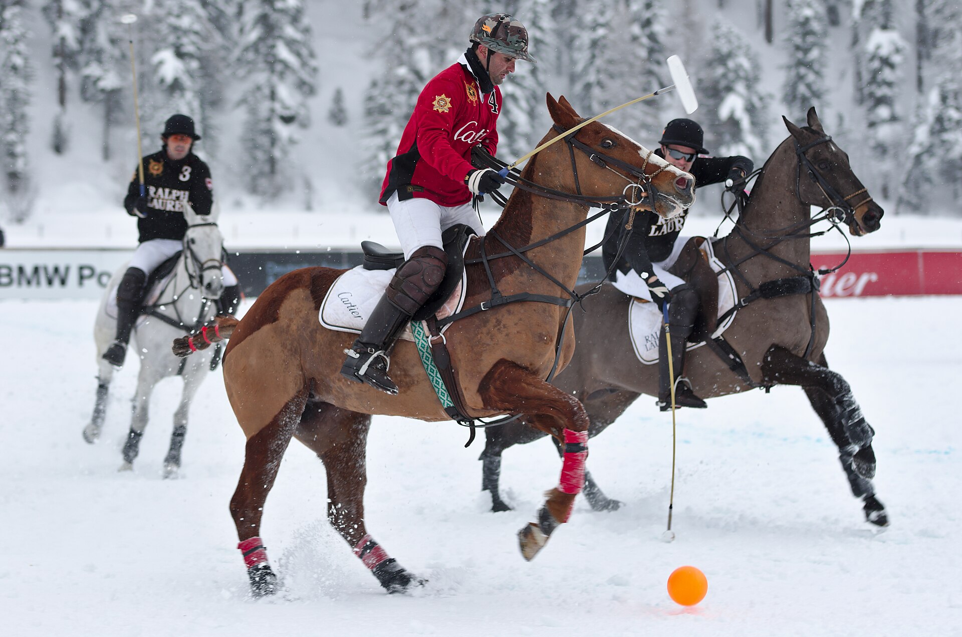
Snow Polo World Cup St. Moritz 2027
The world's only high-goal polo tournament played on a frozen alpine lake set against the elite Engadin peaks.
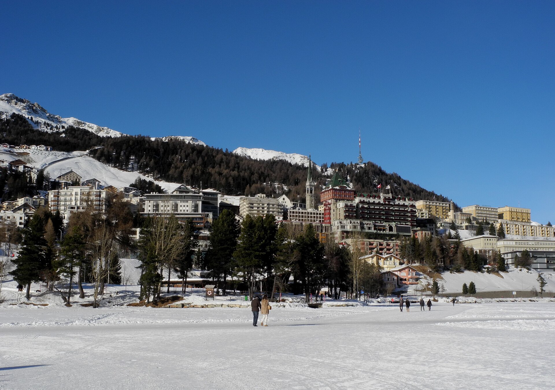
St. Moritz Gourmet Festival 2027
High-altitude culinary festival bringing Michelin-starred master chefs to luxury hotel kitchens in the Engadin.