
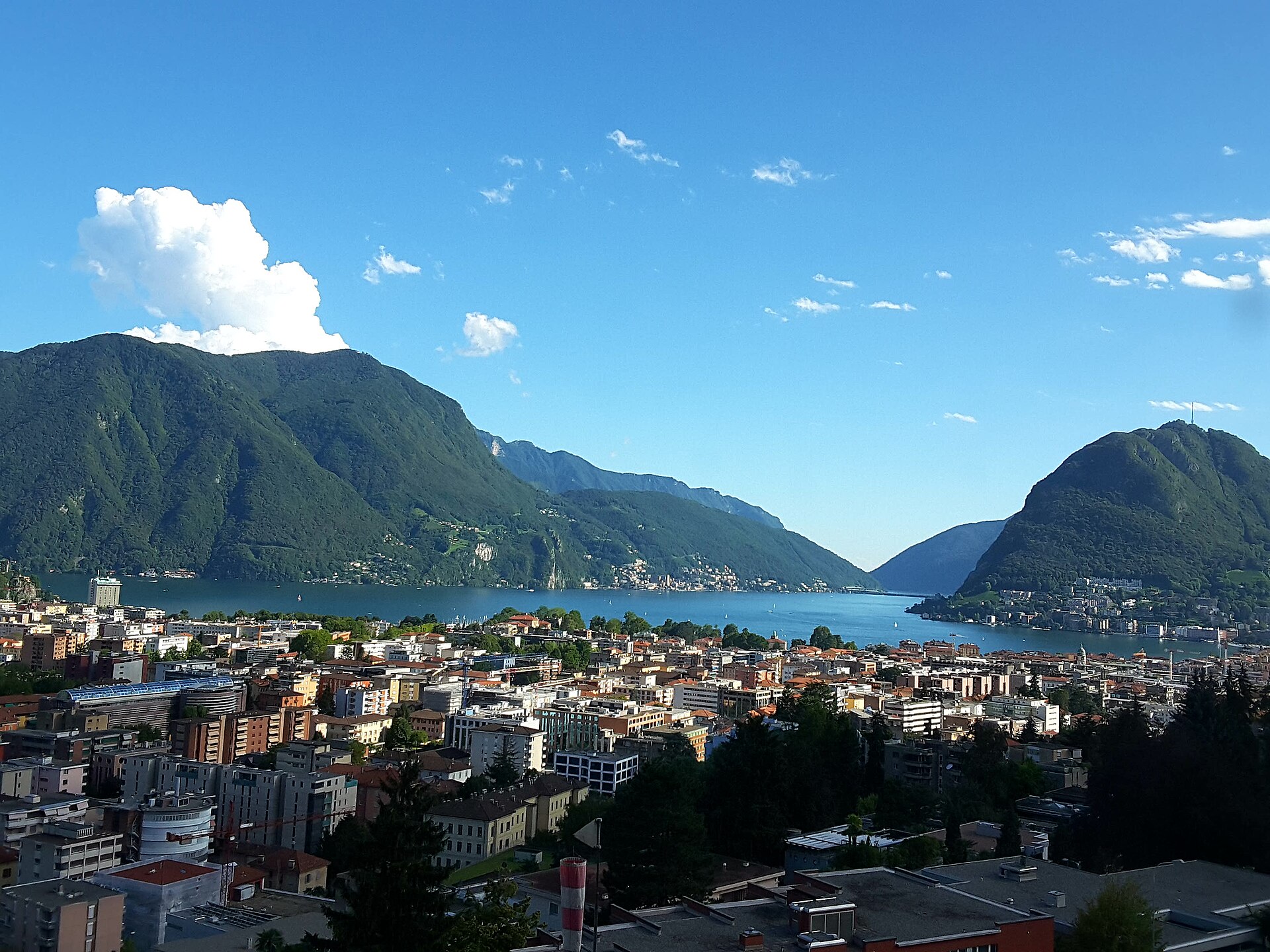
San Salvatore and the Path to Carona
Monte San Salvatore rises directly above Lugano and the lake, reached by a funicular from Paradiso. From the summit you see Lake Lugano, the surrounding peaks and, on a clear day, the Alps to Monte Rosa. A small church and a viewing terrace stand at the top. From the summit a path descends through chestnut forest to Carona, a village with a botanical park, the Parco San Grato. It is a good half day with a view, a downhill walk and a village at the end. Return by bus to Lugano. SAC T1: T1 Hiking: marked yellow trail, no real exposure
- Distance
- 5 km
- Duration
- 2 h
- Ascent
- 0 m
- Difficulty
- Easy
At a glance
1/5
4/5
3/5
Mar – Nov
Route
The route, step by step
- 1
Funicular to San Salvatore
Ride from Paradiso to the summit.
- 2
Summit terrace
Walk to the church and the viewpoint.
- 3
Forest path
A path descends through chestnut forest to Carona.
- 4
Carona
Visit the botanical park and take the bus back.
Elevation profile
Choose your version
Short
Ride up and walk the summit terrace and back, about 1 hour.
Classic
Walk down to Carona and take the bus, about 2 hours.
Extended
Add a loop around the Carona hills.
Plan your day
Getting there & logistics
- Start
- Take bus 2 from Lugano station to Paradiso and the San Salvatore funicular. A bus returns from Carona to Lugano. Check the timetable.
- Finish
- Drive to Lugano and park, then use public transport.
- Parking
- Paid parking in Lugano, but public transport is easier.
Before you leave, check
- Is the lift, boat or railway running today, and when is the last one down?
- Forecast for morning and afternoon (MeteoSwiss), and any storm warnings.
- Trail status: snow, rockfall or closures (local tourist office or lift operator).
- Last public transport home, and your plan if you miss it.
- Hut or restaurant opening days, and whether you need a reservation.
What this day costs
- Mountain lift, cable car or cogwheel train: usually the biggest cost of the day. Ask for the return fare and check pass discounts.
- Train and PostBus fares to the start and home from the end. A Half Fare Card halves most of these.
- Parking, if you drive: day rates vary by place and season, and some car parks fill early.
- Food and drink: mountain restaurants cost noticeably more than the valley. A picnic cuts the day cost sharply.
- Entry fees where they apply, for example caves, gorges or lakeside facilities.
Plan B if the weather turns
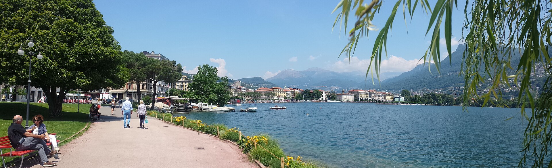
Visit the Lugano old town or the lakefront.
Good to know
- Rainy day
- Visit the Lugano old town or the lakefront.
- With kids
- A good family walk, mostly downhill.
- Dogs
- Allowed on lead.
Stay & rest
Rest options & mountain huts
San Salvatore summit restaurant
A terrace with a lake view.
Carona cafes
A few places in the village.
Parco San Grato cafe
A small cafe in the garden.
Where to stay
Budget – Youth Hostel Lugano
A friendly hostel above the city.
Mid-range – Hotel Pestalozzi
A three-star hotel near the lake.
Upscale – Villa Principe Leopoldo
A five-star villa hotel.
We may earn a commission from bookings made through this link.
Gear
Essential trail gear
For this hike
- Comfortable shoes
- Sun hat
- Water
- Camera
- Light layer
Always
- Sturdy hiking shoes with real tread (trainers only on the flattest routes)
- Water, at least 1 to 1.5 litres per person, more in summer
- Rain shell and one warm layer, even on a sunny morning
- Sun cream, hat and sunglasses (UV rises about 10% per 1,000 m)
- Snacks or a picnic and some cash in coins and small notes
- Phone with offline map (SwissTopo or Komoot), power bank, ID
- Small first-aid kit: plasters, blister tape, painkillers
Background
The story
San Salvatore has been a viewpoint over Lugano for centuries, and a chapel stands at its top.
Taste it
A Ticino risotto or a plate of local cured meats with Merlot.
Route notes
Monte San Salvatore rises directly above Lugano and the lake, reached by a funicular from Paradiso. From the summit you see Lake Lugano, the surrounding peaks and, on a clear day, the Alps to Monte Rosa. A small church and a viewing terrace stand at the top. From the summit a path descends through chestnut forest to Carona, a village with a botanical park, the Parco San Grato. It is a good half day with a view, a downhill walk and a village at the end. Return by bus to Lugano. SAC T1: T1 Hiking: marked yellow trail, no real exposure
Nearby hikes
- Caslano to Ponte Tresa on Lake Lugano – Caslano, TI
- Monte Boglia above Lugano – Brè, TI
- Madonna del Sasso Pilgrim Path, Locarno – Locarno, TI
Where to stay nearby
- Lago Resort, Ticino – Lugano, TI
Experiences near this hike
We may earn a commission from bookings made through this link.
 Sponsoredfrom CHF 39Sponsoredfrom CHF 59Sponsoredfrom CHF 99
More things to do nearby
We may earn a commission from bookings made through this link.
Browse experiences on GetYourGuideDid you know?
You might also like
 Featured
JazzAscona
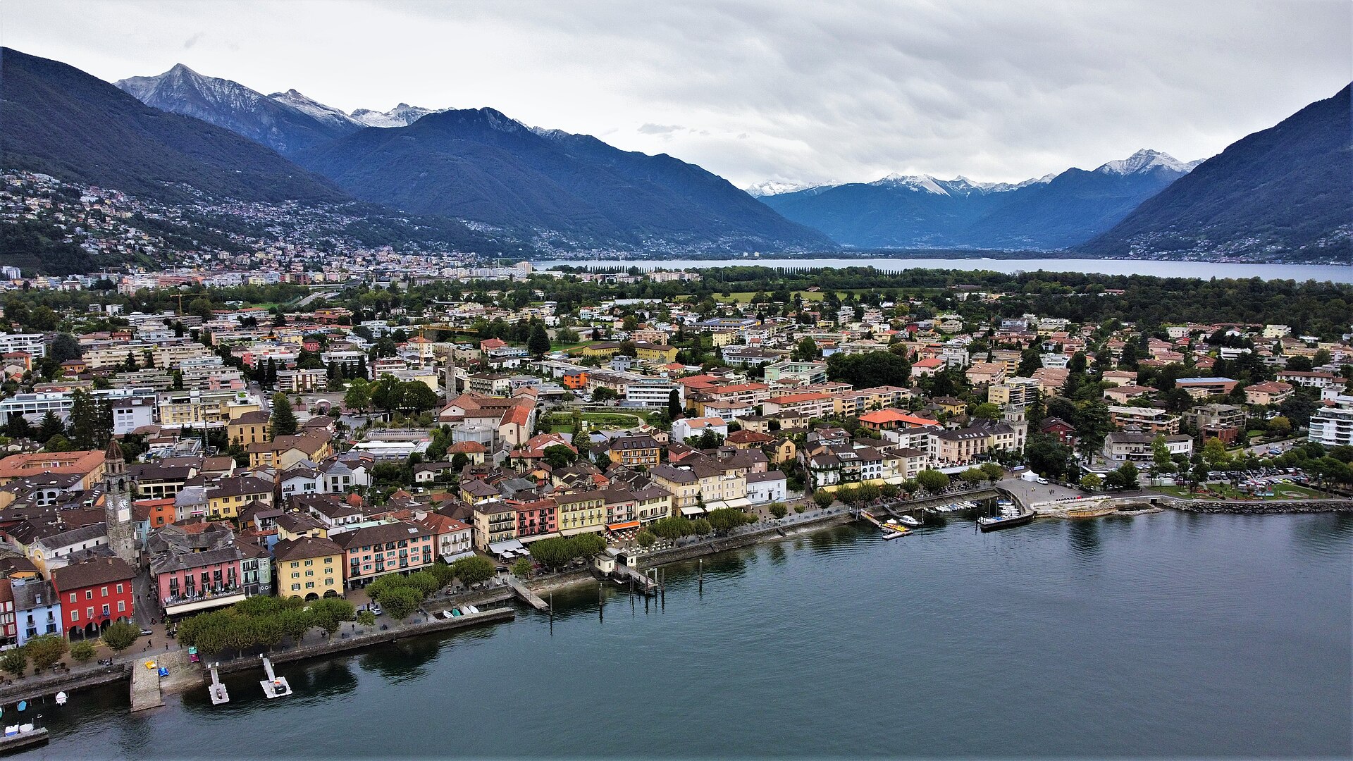
Europe's most vibrant New Orleans jazz festival transforming the subtropical lake promenade of Ascona into a lively open-air celebration of swing, blues, and brass bands.
Ascona Music Festival 2027
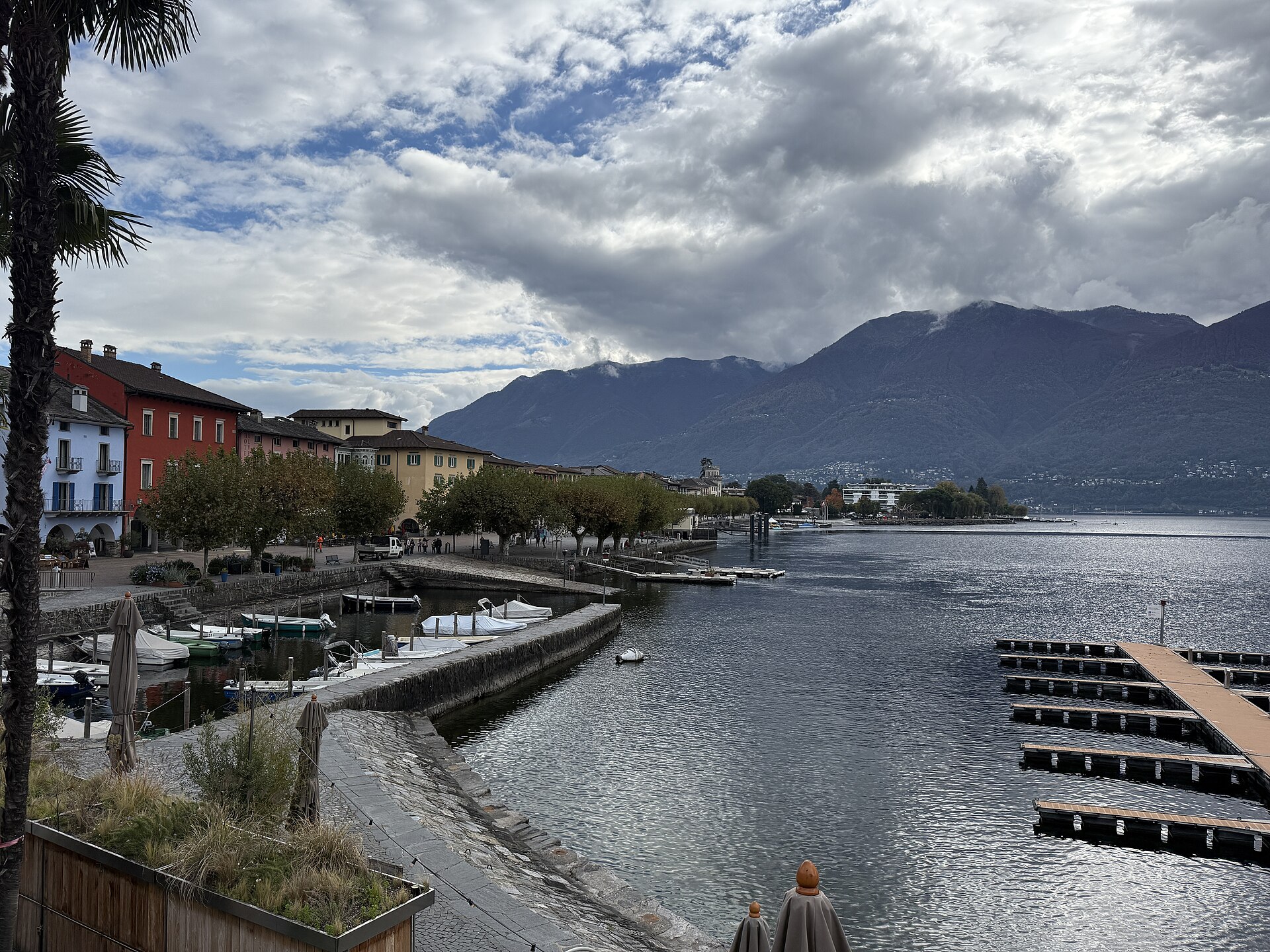
Exquisite classical concert series hosted in historic lakeside churches and palazzos in sun-drenched Ascona.
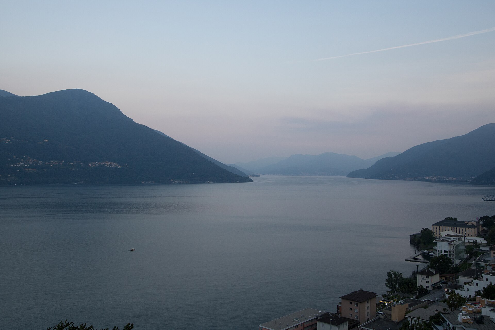
Ascona to Brissago Promenade Walk
A sun-drenched, Mediterranean-flavored lakeside stroll linking the historic lakeside piazza of Ascona with the Swiss-Italian border town of Brissago along the sparkling shores of Lake Maggiore (Lago Maggiore). The route meanders past palm trees, subtropical gardens, pastel-colored villas, and serene pebble beaches backed by dramatic Ticino mountain slopes. Completely flat and paved throughout, this walk offers an effortless taste of the Swiss Southern dolce vita.
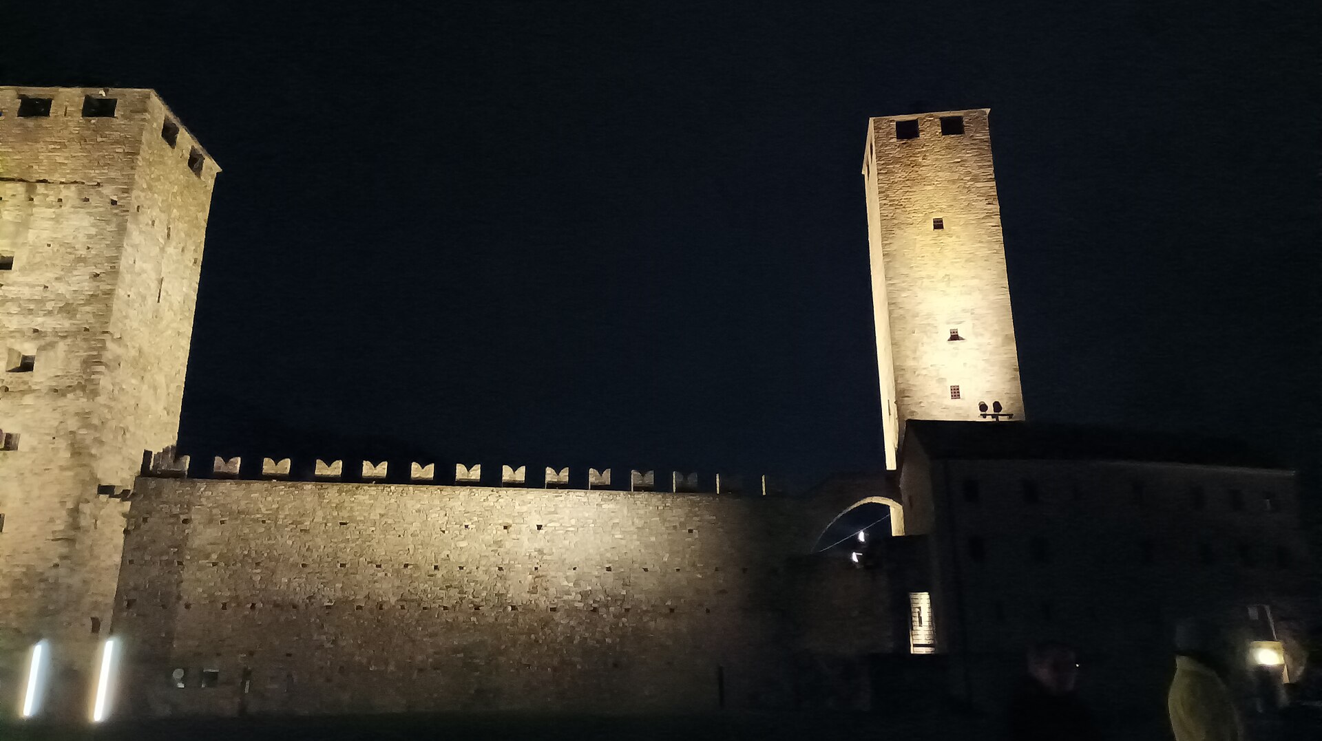
Bellinzona Blues Sessions 2027
Atmospheric open-air blues festival hosted in historic piazzas below Bellinzona's UNESCO fortresses.
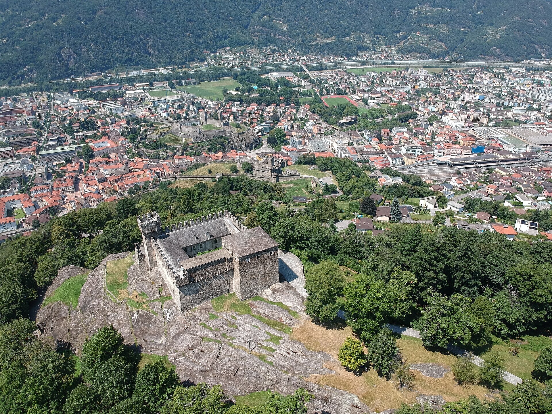
The Three Castles of Bellinzona
Three medieval castles on a rocky hill, a UNESCO site in a Ticino town.