
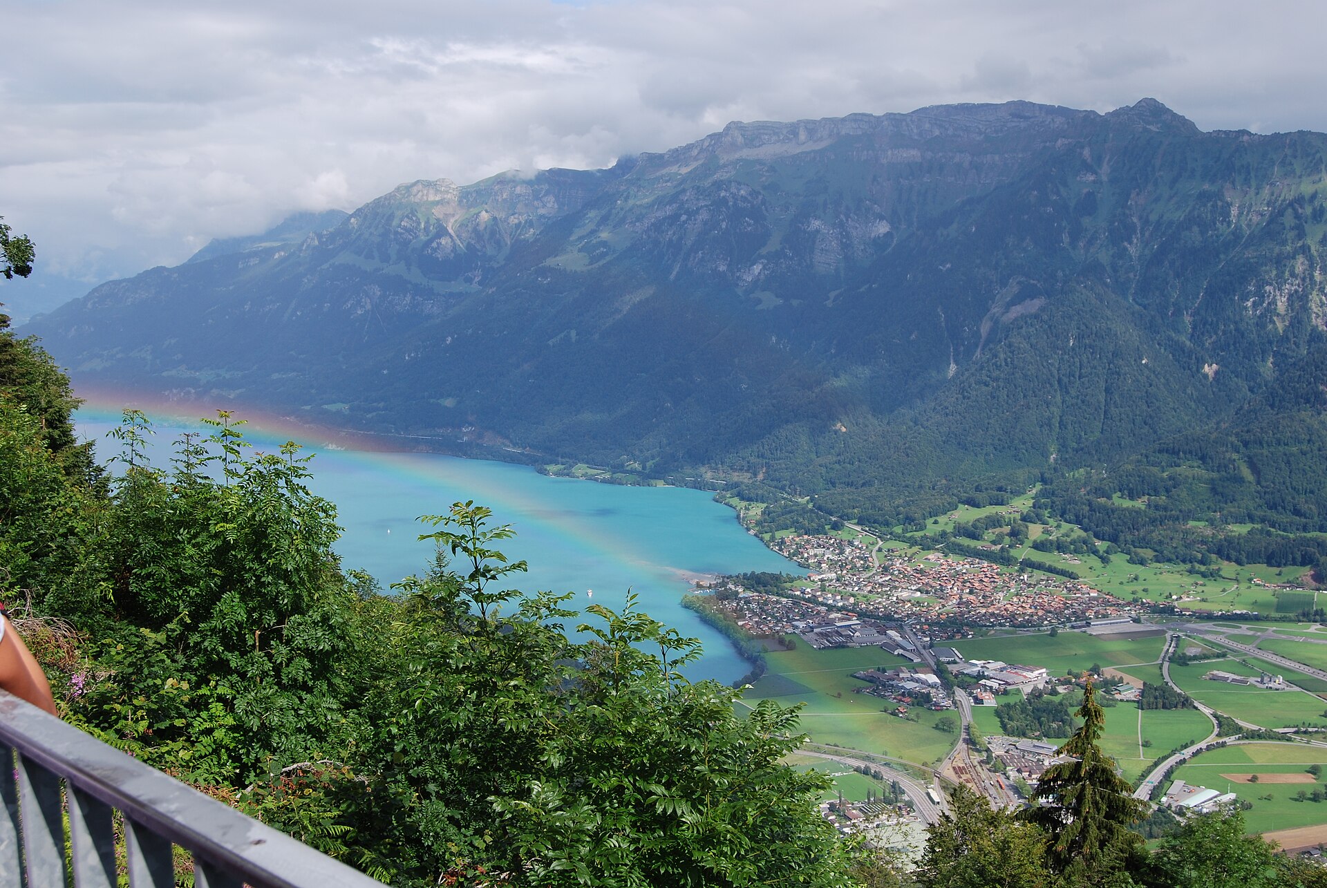
Traversata della cresta Hardergrat
The Hardergrat Ridge Traverse is an extremely demanding (SAC T4) 24 km alpine hike taking 8 to 10 hours from Harderkulm (Interlaken) across the razor-sharp ridge to the Brienzer Rothorn. It requires exceptional stamina, absolute sure-footedness, and complete absence of vertigo. Often dubbed the most photogenic knife-edge ridge in the world, the Hardergrat towers dramatically between the turquoise waters of Lake Brienz and the towering Bernese Alps. This is not a casual walking route; it is a serious alpine endurance test across steep, unpaved limestone and grass slopes with sheer drop-offs on both sides.
- Distanza
- 24 km
- Durata
- 10 h
- Dislivello
- 2200 m
- Difficoltà
- Difficile
In sintesi
5/5
5/5
2/5
lug – set
Avviso di sicurezza
Nessuna via di fuga e pericolo d'acqua. Una volta sulla cresta tra l'Augstmatthorn e il Brienzer Rothorn non esistono praticamente vie di fuga sicure lungo i ripidi dirupi erbosi. Porta con te almeno 3,5-4 litri d'acqua a persona e non tentare mai la traversata con il bagnato: l'erba bagnata rende questa cresta pericolosamente scivolosa.
Percorso
Il percorso, passo dopo passo
- 1
Harderkulm Summit Start
Board the early morning funicular from Interlaken to Harderkulm (1,322m) and begin hiking east along the forested ridge.
- 2
Augstmatthorn Ascent
Climb past Suggitenatt to reach Augstmatthorn (2,137m), famous for wild ibex colonies grazing along the cliffs.
- 3
The Razor-Sharp Sektion
Traverse the narrow exposed ridge past Rothorn and Glogghüs with vertigo-inducing drops to Lake Brienz below.
- 4
Brienzer Rothorn Finish
Conclude the grueling climb at Brienzer Rothorn summit (2,348m) and catch the historic steam cogwheel train down to Brienz.
Profilo altimetrico
Scegli la tua versione
Short
Interlaken Harderkulm to Augstmatthorn peak and return (14 km, ~6h).
Classic
Full traverse from Harderkulm all the way to Brienzer Rothorn (24 km, ~9h).
Extended
Start down in Interlaken village instead of taking the Harderbahn funicular (+450m ascent).
Pianifica la giornata
Come arrivare e logistica
- Partenza
- Take the train to Interlaken Ost, walk 5 minutes to the Harderbahn funicular station, and ride up to the trailhead. Return from Brienzer Rothorn via the historic steam railway down to Brienz, then connect by SBB train.
- Arrivo
- Arrivo al Brienzer Rothorn; scendi con il treno a cremagliera a vapore o la funivia fino a Brienz, poi prendi il treno delle FFS per tornare a Interlaken.
- Parcheggio
- Park at Interlaken Ost station parking lots, take the train back from Brienz at the end of the day. Paid parking at Interlaken Ost station.
Prima di partire, controlla
- Check stable weather forecasts obsessively—never attempt in wet conditions, fog, or thunderstorm risk.
- Catch the very first Harderbahn funicular in the morning to ensure sufficient daylight hours (8-10h hike).
- Pack a minimum of 3 liters of water and electrolyte tablets; there are zero water refill sources along the ridge.
- Book your Brienzer Rothorn steam train ticket in advance or verify the last afternoon departure time down to Brienz.
Quanto costa la giornata
- Harderbahn Funicular (Interlaken to Harderkulm): ~CHF 42.00 one way.
- Brienzer Rothorn Steam Railway Descent (Rothorn Kulm to Brienz): ~CHF 59.00 (50% discount with Half Fare / Swiss Pass).
- Food/Hydration: Pack your own energy food and high-calorie snacks for the full day.
Piano B se il tempo peggiora
If weather turns or fog rolls in during the hike, bail out via marked emergency escape paths descending north toward Habkern.
Buono a sapersi
- Giornata di pioggia
- Avoid completely if rain is forecast; the steep grass slopes become dangerously slick and treacherous.
- Con i bambini
- Strictly prohibited for children or inexperienced hikers due to extreme exposure.
- Cani
- Not recommended unless highly experienced with alpine scrambling and narrow ridges.
Dormire e riposare
Punti di sosta e rifugi
Harder Kulm (1322 m)
Ristorante all'inizio della cresta, perfetto per un espresso mattutino prima di affrontare il sentiero.
Berghaus Lombachalp (1560 m)
Situato sotto l'Augstmatthorn e raggiungibile solo prendendo la via di fuga d'emergenza lungo il fianco meridionale.
Hotel Brienzer Rothorn (2350 m)
All'arrivo, con pasti svizzeri completi e camere d'albergo per riposare prima della discesa verso Brienz.
Dove alloggiare
Economico – Balmers Hostel (da CHF 40)
Vivace ostello per backpacker a Interlaken con letti in camerata da circa CHF 40 a notte, ideale per una partenza mattutina prima dell'escursione.
Fascia media – Hotel Bellevue Interlaken (da CHF 160)
Hotel storico vicino alla stazione, una comoda base di fascia media da circa CHF 160 a notte.
Fascia alta – Victoria-Jungfrau Grand Hotel (da CHF 550)
Classico cinque stelle con vista sulla Jungfrau per un soggiorno di recupero di lusso, da circa CHF 550 a notte.
Potremmo ricevere una commissione sulle prenotazioni effettuate tramite questo link.
Attrezzatura
Attrezzatura essenziale
- Scarpe da trail running con tasselli profondi: una suola in gomma aggressiva è essenziale per fare presa su pendii erbosi asciutti e bagnati.
- Sacca d'acqua più sali idratanti: capacità minima di 3,5 litri, poiché sulla cresta non ci sono punti di rifornimento.
- Bastoncini da trekking: indispensabili per l'equilibrio lungo i ripidi pendii erbosi laterali.
- Sacco da bivacco d'emergenza: portane uno nel caso tu sia costretto a ripararti per la notte sulla cresta.
Approfondimenti
La storia
Formed by intense tectonic folding in the Helvetic nappes, the Hardergrat forms a massive natural limestone wall stretching over 25 kilometers. Because the south face drops away in precipitous cliffs while the north face consists of perilously steep, slippery grass slopes, the traverse demands unyielding concentration from start to finish.
Da assaggiare
Celebrate finishing the mammoth traverse at the historic Rothorn Kulm mountaintop restaurant with a hearty bowl of Swiss goulash soup or a local beer overlooking the steam train tracks.
Note sul percorso
Affronta l'Hardergrat come una spedizione più che come una gita giornaliera. Impegnati solo con una previsione stabile e asciutta e parti abbastanza presto da superare la sezione centrale esposta ben prima che i temporali pomeridiani si formino sull'Oberland. Dosa le forze in modo costante lungo i numerosi saliscendi tra l'Harder Kulm, l'Augstmatthorn e il Brienzer Rothorn, continua a idratarti con la tua scorta piena di 3,5-4 litri e sii onesto nel rinunciare prima della cresta, perché una volta impegnato non c'è via di fuga sicura. L'arrivo al Brienzer Rothorn, con il treno a vapore che attende più in basso, ripaga il lungo sforzo.
Escursioni nelle vicinanze
- Traversata della cresta dell'Hardergrat: dall'Harder Kulm all'Augstmatthorn – Interlaken / Lake Brienz, BE
- Ponte di Trift e sentiero sospeso sul ghiacciaio – Gadmen Valley / Haslital, BE
- Passo di Hohtürli e sentiero d’alta quota della Blüemlisalp – Bernese Oberland / Kandersteg, BE
Dove dormire nelle vicinanze
- Boutique del Centro Storico, Berna – Bern, BE
Esperienze vicino a questa escursione
Potremmo ricevere una commissione sulle prenotazioni effettuate tramite questo link.
 Sponsorizzatoda CHF 199Sponsorizzatoda CHF 89
Grindelwald First Cliff Walk & Mountain Adventure
Sponsorizzatoda CHF 99Altre attività nei dintorni
Potremmo ricevere una commissione sulle prenotazioni effettuate tramite questo link.
Scopri le esperienze su GetYourGuideLo sapevi?
Potrebbe interessarti anche
 In evidenza
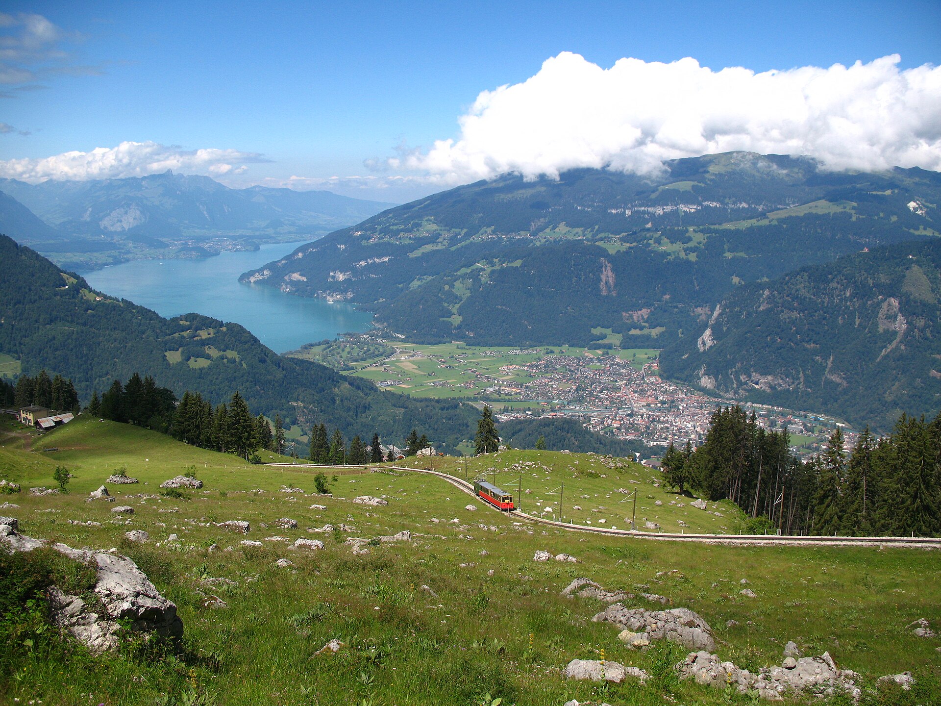
Sentiero panoramico della Schynige Platte
Un breve e facile anello di cresta di 5 km, raggiunto da un treno a cremagliera in legno, di fronte a Eiger, Mönch e Jungfrau.
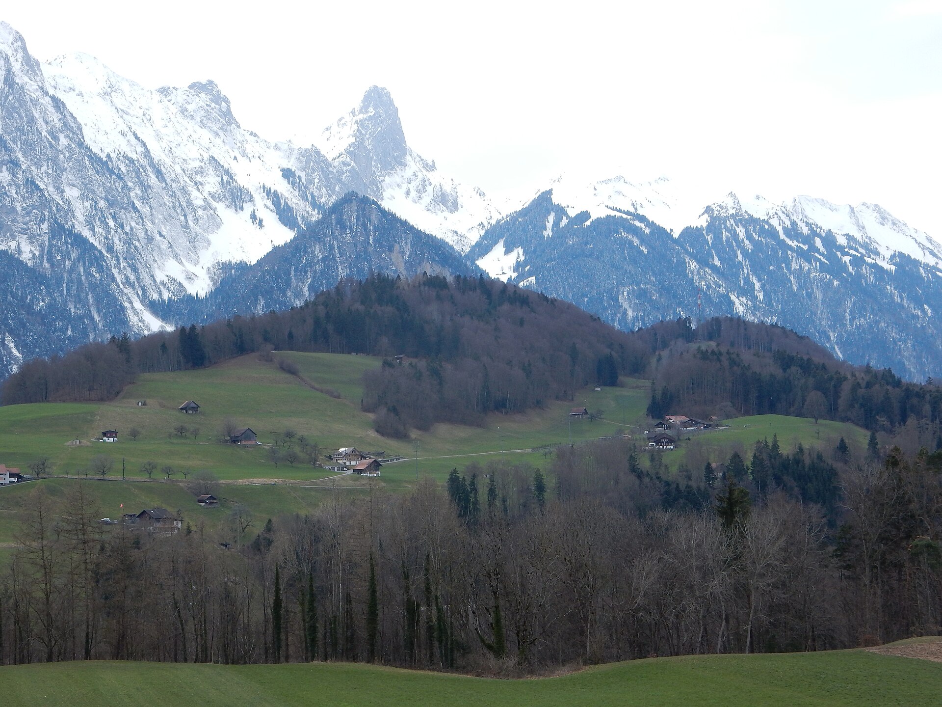
Vetta dello Stockhorn e Oberstockensee
Una camminata di 8 km lungo una cresta calcarea sopra il lago di Thun, giù fino al tranquillo Oberstockensee.
 In evidenza
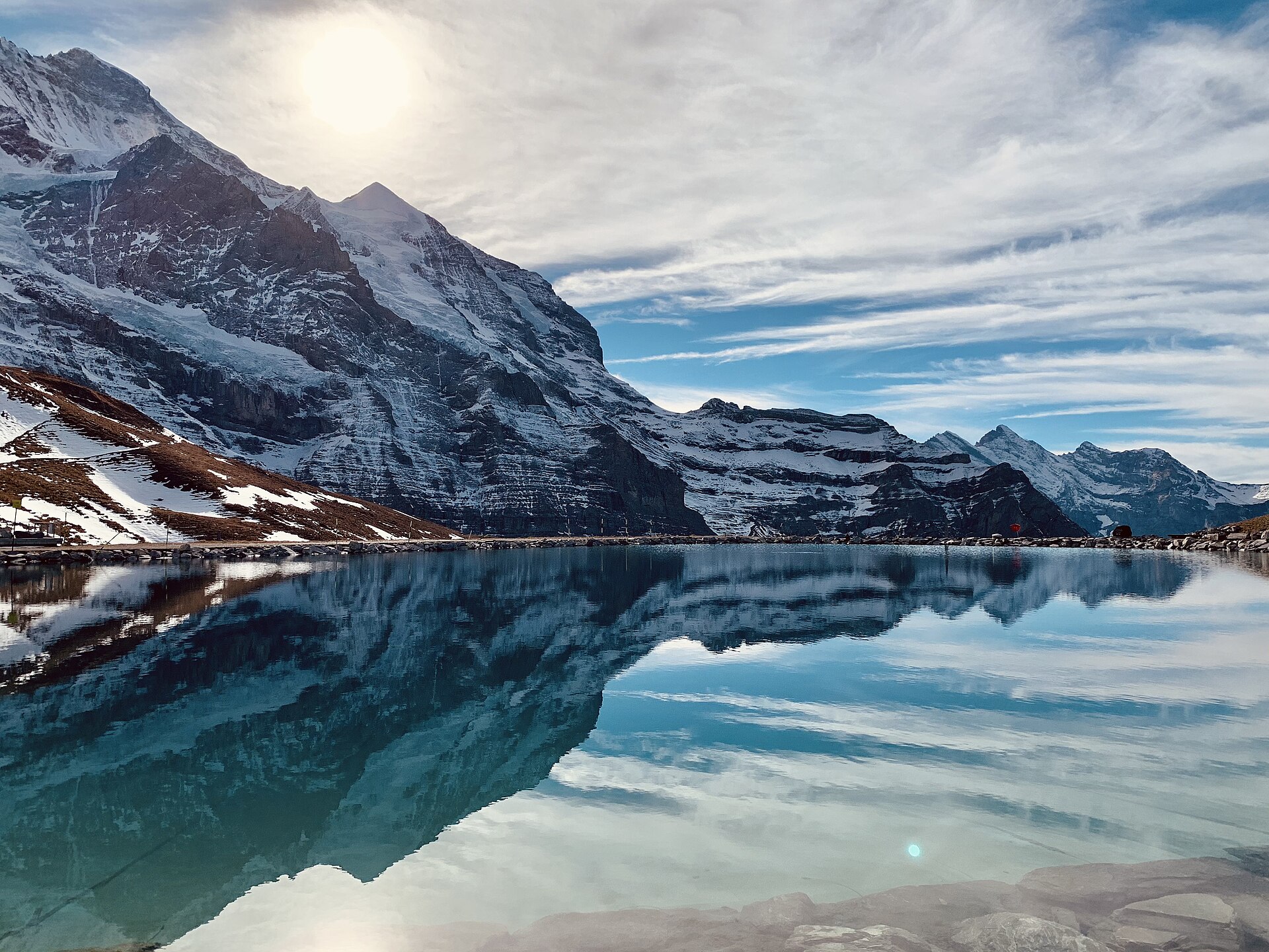
Sentiero dell'Eiger: dall'Eigergletscher ad Alpiglen
Una traversata alpina famosa in tutto il mondo che si snoda proprio ai piedi dell’iconica parete nord dell’Eiger (Nordwand). Partendo dalla stazione dell’Eigergletscher (2.320 m), il percorso in discesa si snoda sotto l’imponente parete calcarea a strapiombo alta 1.800 metri, dove è stata scritta la storia dell’alpinismo leggendario. Il percorso offre una vista panoramica senza ostacoli sulla valle di Grindelwald, sul passo della Grosse Scheidegg e sulle cime frastagliate del Wetterhorn e dello Schreckhorn.
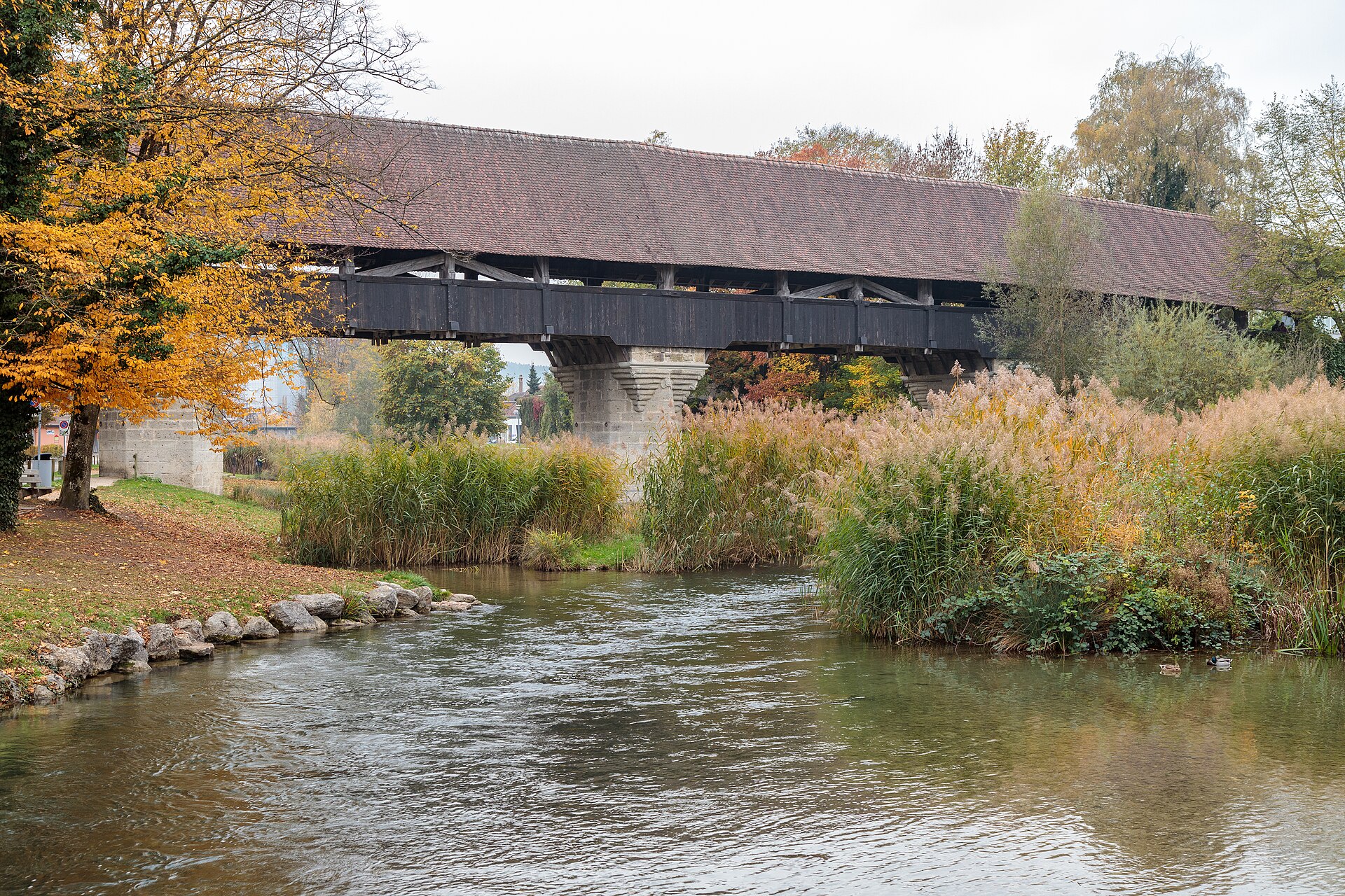
Aarberg e il Canale dell'Aare
Una cittadina su un'isola con un ponte coperto in legno e un sentiero lungo il canale che attraversa i campi coltivati.
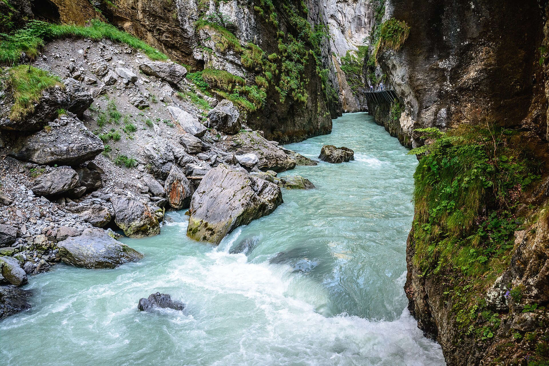
La gola dell'Aare e Meiringen
Una stretta gola calcarea con una passerella scavata nella roccia.
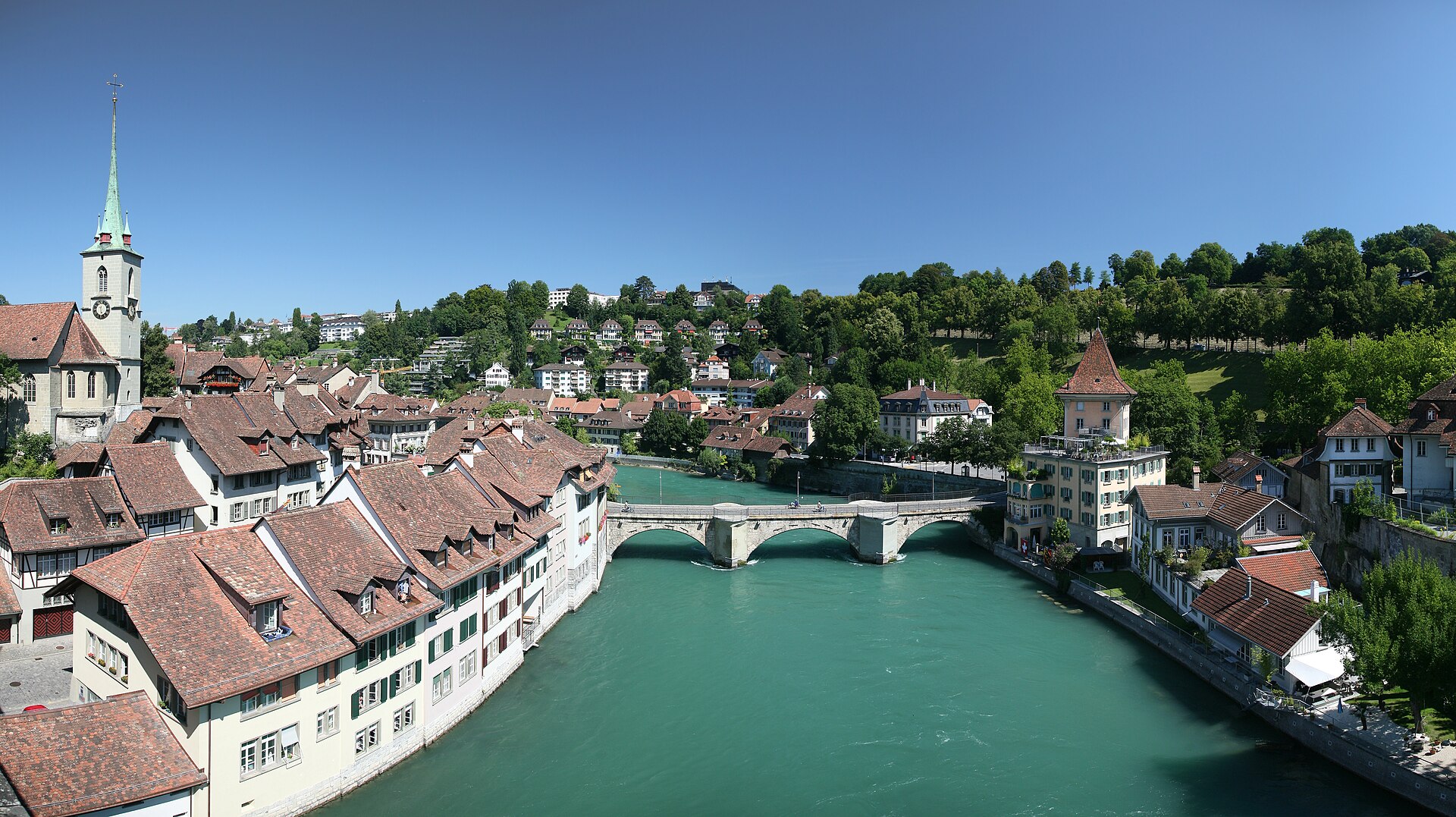
Passeggiata lungo il fiume Aare a Berna, da Marzili a Eichholz
Una passeggiata lungo il fiume attraverso la capitale, con una sosta per fare il bagno, se ne avete il coraggio.