
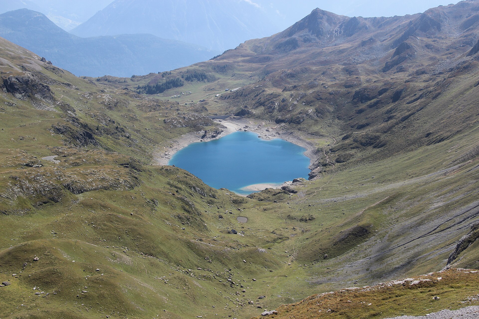
Laghi di Fully
The Lacs de Fully loop is a demanding (SAC T3) 8.2 km mountain hike taking around 3 hours. Set high above the Rhone Valley, it explores the historic high-altitude reservoirs of Fully and Sorniot surrounded by rugged limestone peaks. Tucked away in the dramatic amphitheater of mountains behind Fully, the Lacs de Fully (including Lac de Fully and Lac de Sorniot) represent some of the most striking high-altitude waters in the Lower Valais. This rugged alpine loop rewards hikers with sweeping vistas across the Rhone Valley toward the Bernese Alps and the majestic Dent de Morcles.
- Distanza
- 8.2 km
- Durata
- 3.5 h
- Dislivello
- 520 m
- Difficoltà
- Moderata
In sintesi
3/5
5/5
2/5
giu – ott
Percorso
Il percorso, passo dopo passo
- 1
Fully Mountain Trailhead
Start at the high-altitude parking or mountain access point above Fully and follow signs toward Sorniot.
- 2
Lac de Fully Basin
Ascend through rocky alpine scrub past the lower dam wall of Lac de Fully.
- 3
Sorniot Plateau
Reach the higher plateau of Sorniot (2,207m), surrounded by dramatic limestone peaks and crystal tarns.
- 4
Circuit Descent
Loop back down along well-marked mountain paths overlooking the sweeping Rhone Valley.
Profilo altimetrico
Scegli la tua versione
Short
Direct lakeside loop around Lac de Sorniot and back (4.0 km, ~1h 30m).
Classic
Full Fully-Sorniot high alpine loop (8.2 km, ~3h).
Extended
Continue the grueling climb up toward the summit ridge of Dent de Morcles (12.0 km, ~5h).
Pianifica la giornata
Come arrivare e logistica
- Partenza
- Limited public transit; taking a private car up the winding mountain road from Fully village to the high parking area is strongly recommended.
- Arrivo
- Il tragitto in auto da Martigny a Fully e ai Mayens dura circa 25 minuti.
- Parcheggio
- Drive from Martigny or Fully village up the steep, narrow mountain road leading to Châtillon and the Fully alpine pastures. Free or low-cost parking spots available near the mountain trailheads.
Prima di partire, controlla
- Check road conditions for the steep mountain drive up from Fully village, as some sections are narrow and winding.
- Pack sturdy hiking boots with aggressive tread for loose limestone rock and gravel.
- Carry ample drinking water, as natural springs on the high plateau can be affected by livestock grazing.
- Monitor afternoon weather forecasts—alpine thunderstorms build quickly over the Lower Valais peaks.
Quanto costa la giornata
- Mountain Road Parking: Free or nominal coin fee.
- Food/Refuge: CHF 15–25 for snacks or meals at Sorniot cabin.
Piano B se il tempo peggiora
If low clouds or heavy rain obscure the high plateau, explore the wine cellars of Fully or visit the museums in Martigny.
Buono a sapersi
- Giornata di pioggia
- Relax at the thermal baths in Lavey-les-Bains or explore Martigny's famous Gianadda Foundation museum.
- Con i bambini
- Recommended only for older, experienced children comfortable with rocky T3 mountain terrain.
- Cani
- Allowed on leash; ensure your dog is agile enough for rocky scree sections.
Dormire e riposare
Punti di sosta e rifugi
Mountain hut near the lakes
Pasti e bevande una volta giunti a destinazione.
Fully village cafes
Qualche posto alla fine della valle.
Martigny restaurants
Una selezione di luoghi in città.
Dove alloggiare
Budget – Cabane de Sorniot
Un rifugio di montagna con letti in dormitorio e pasti; prenotare in anticipo.
Upscale – Grand Hôtel du Golf & Spa
Un hotel a cinque stelle, a circa un'ora di distanza.
Potremmo ricevere una commissione sulle prenotazioni effettuate tramite questo link.
Attrezzatura
Attrezzatura essenziale
Per questa escursione
- Sturdy boots
- Warm layers
- Sun cream
- Poles
- Water and snacks
Sempre
- Sturdy hiking shoes with real tread (trainers only on the flattest routes)
- Water, at least 1 to 1.5 litres per person, more in summer
- Rain shell and one warm layer, even on a sunny morning
- Sun cream, hat and sunglasses (UV rises about 10% per 1,000 m)
- Snacks or a picnic and some cash in coins and small notes
- Phone with offline map (SwissTopo or Komoot), power bank, ID
- Small first-aid kit: plasters, blister tape, painkillers
Approfondimenti
La storia
The Fully basin has a fascinating industrial and hydro-electric history. For over a century, engineers harnessed the meltwaters of these high basins to feed powerful hydroelectric plants down in the Rhone valley, creating a network of service tracks that now double as incredible hiking routes.
Da assaggiare
Enjoy a comforting meal or local snack at the rustic mountain refuge cabin near Sorniot serving traditional Valais dishes during summer months.
Note sul percorso
I Lacs de Fully sono un gruppo di piccoli laghi situati in un'alta conca sopra il villaggio di Fully, nel Vallese. Si trovano in un paesaggio roccioso ai piedi del Grand Chavalard, e accanto ad essi sorge un piccolo rifugio. Questi laghi sono tra i più fotografati delle Alpi occidentali. Il sentiero sale costantemente dai Mayens de Fully attraverso boschi e pascoli fino ai laghi. La salita è lunga e in alcuni tratti ripida, ma il sentiero è ben tracciato. È un’escursione ideale per una giornata intera per chi ha una discreta forma fisica. SAC T2: T2 Escursionismo in montagna: tratti ripidi, occorre avere passo sicuro
Escursioni nelle vicinanze
- Il lago di Salanfe e le Dents du Midi – Les Marécottes, VS
- Il lago di Tanay e Les Jeurs – Vouvry, VS
- Lago di Barme, sopra Champéry – Champéry, VS
Dove dormire nelle vicinanze
- Rifugio Alpino, Zermatt – Zermatt, VS
Esperienze vicino a questa escursione
Potremmo ricevere una commissione sulle prenotazioni effettuate tramite questo link.
 Sponsorizzatoda CHF 99Sponsorizzatoda CHF 120
Matterhorn Glacier Paradise Cable Car Experience
Sponsorizzatoda CHF 95Altre attività nei dintorni
Potremmo ricevere una commissione sulle prenotazioni effettuate tramite questo link.
Scopri le esperienze su GetYourGuideLo sapevi?
Jungfraujoch is Europe's highest railway station (3,454 m).
Politica e storiaJ.R.R. Tolkien's 1911 walking tour of Switzerland heavily influenced the landscapes of The Lord of the Rings.
Geografia e naturaGrande Dixence is the world's tallest gravity dam (285 m) and holds 400 million m³.
Potrebbe interessarti anche
 Sponsorizzato
Rifugio Alpino, Zermatt
Un lodge di montagna di design con vista sul Cervino.
Potremmo ricevere una commissione sulle prenotazioni effettuate tramite questo link.
 In evidenza
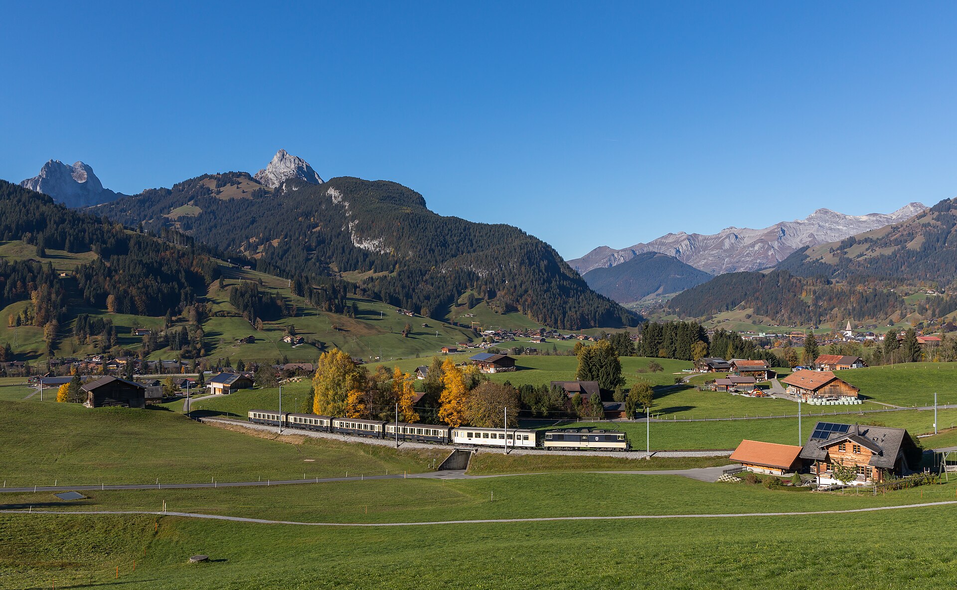
Ascensione alpina del Barrhorn
Conquer Europe's highest officially marked hiking summit without ropes or glaciers.
 In evidenza
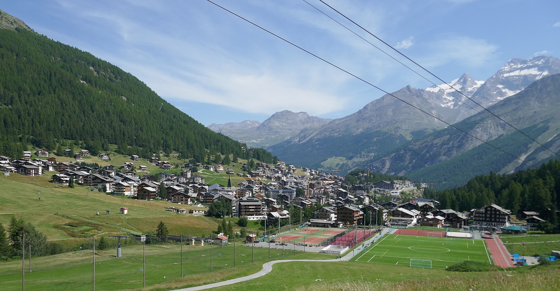
Avvicinamento alle capanne del Mischabel
Un'impegnativa via SAC T6 sopra Saas-Fee, su scale verticali e pioli di ferro fino alla Mischabelhütte a 3340 m.
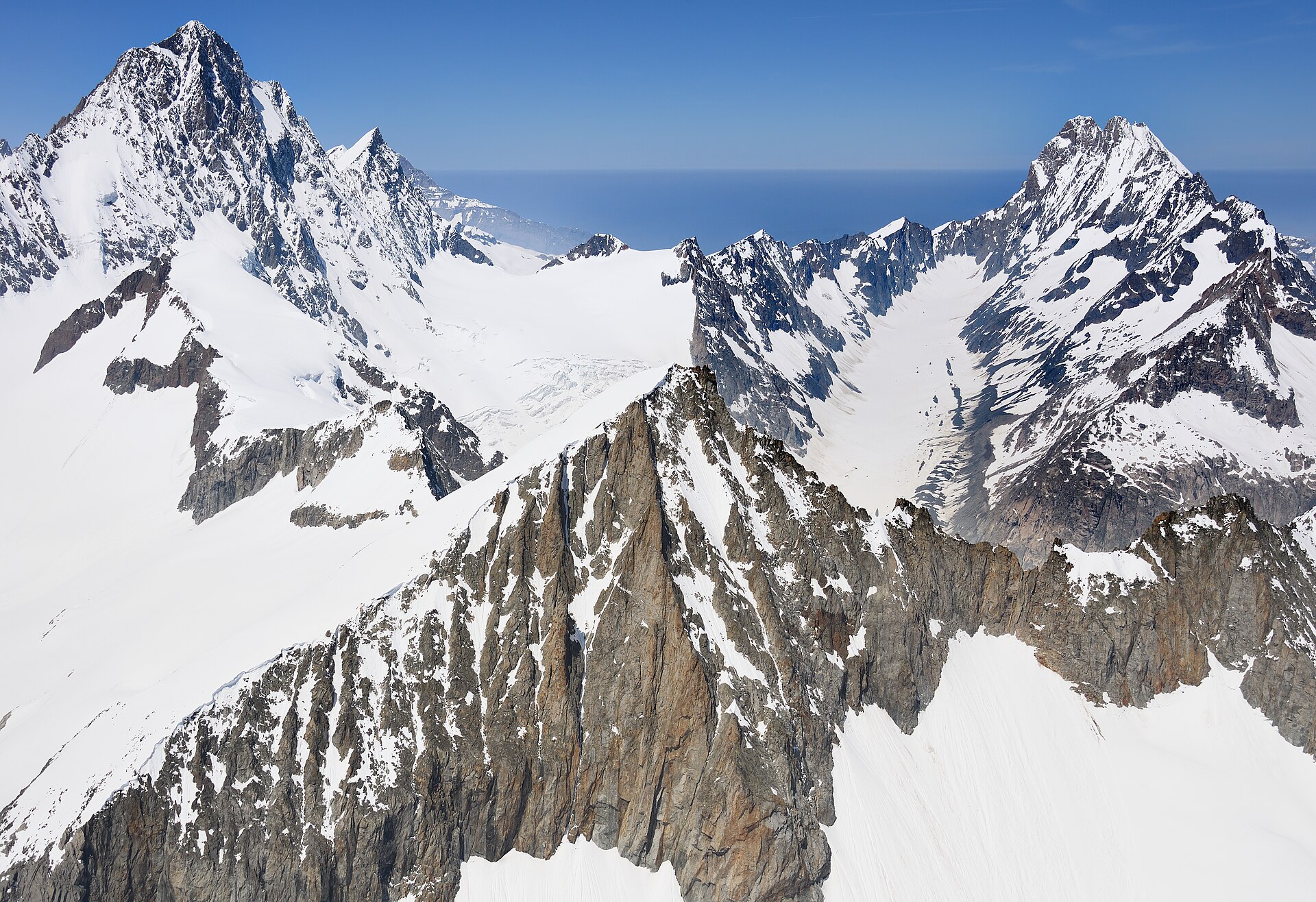
Sentiero in quota da Äugststafel al Passo della Gemmi
Una spettacolare traversata alpina in alta montagna, che si snoda ben al di sopra della conca termale di Leukerbad, collegando Äugststafel allo storico hotel del Passo della Gemmi e alla stazione della funivia. Il sentiero si snoda lungo alte falesie calcaree e pendii erbosi, offrendo panorami mozzafiato sulle Alpi vallesane, comprese le imponenti vette del Weisshorn e del gruppo del Mischabel. Questo percorso classico collega i paesaggi alpini bernesi e vallesani grazie a sentieri sicuri e ben curati.
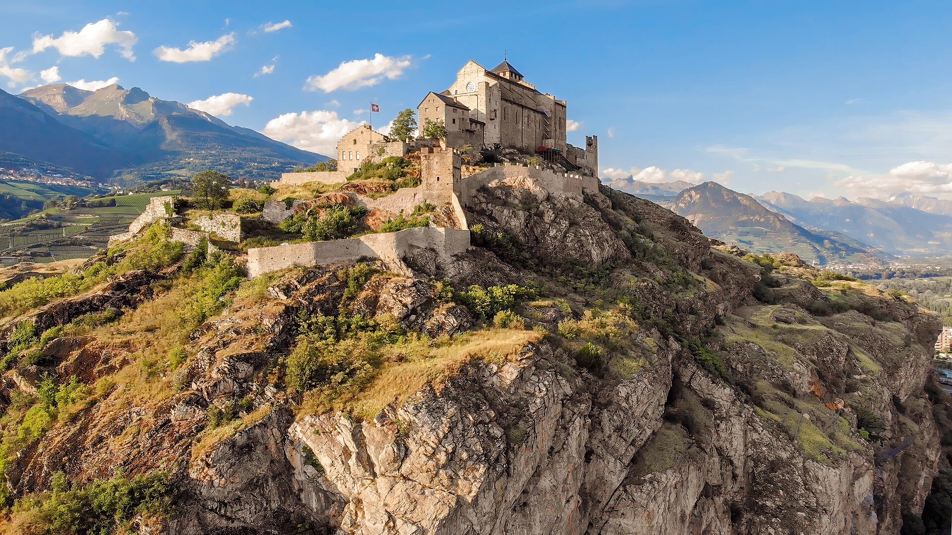
Percorso storico del bisse da Agettes a Veysonnaz
Un percorso pianeggiante e agevole che segue le curve di livello dello storico Bisse de Vex lungo i pendii soleggiati della Valle del Rodano. Costruito nel XV secolo per convogliare l’acqua di disgelo delle montagne verso i vigneti, il sentiero lungo il canale del bisse si snoda attraverso profumati boschi di larici e pini, attraversa ponticelli di legno e si snoda tra radure aperte che offrono viste panoramiche sui castelli storici di Sion e sulle Alpi bernesi. Il percorso presenta una pendenza praticamente nulla, rendendolo adatto a tutte le età e a tutti i livelli di forma fisica.
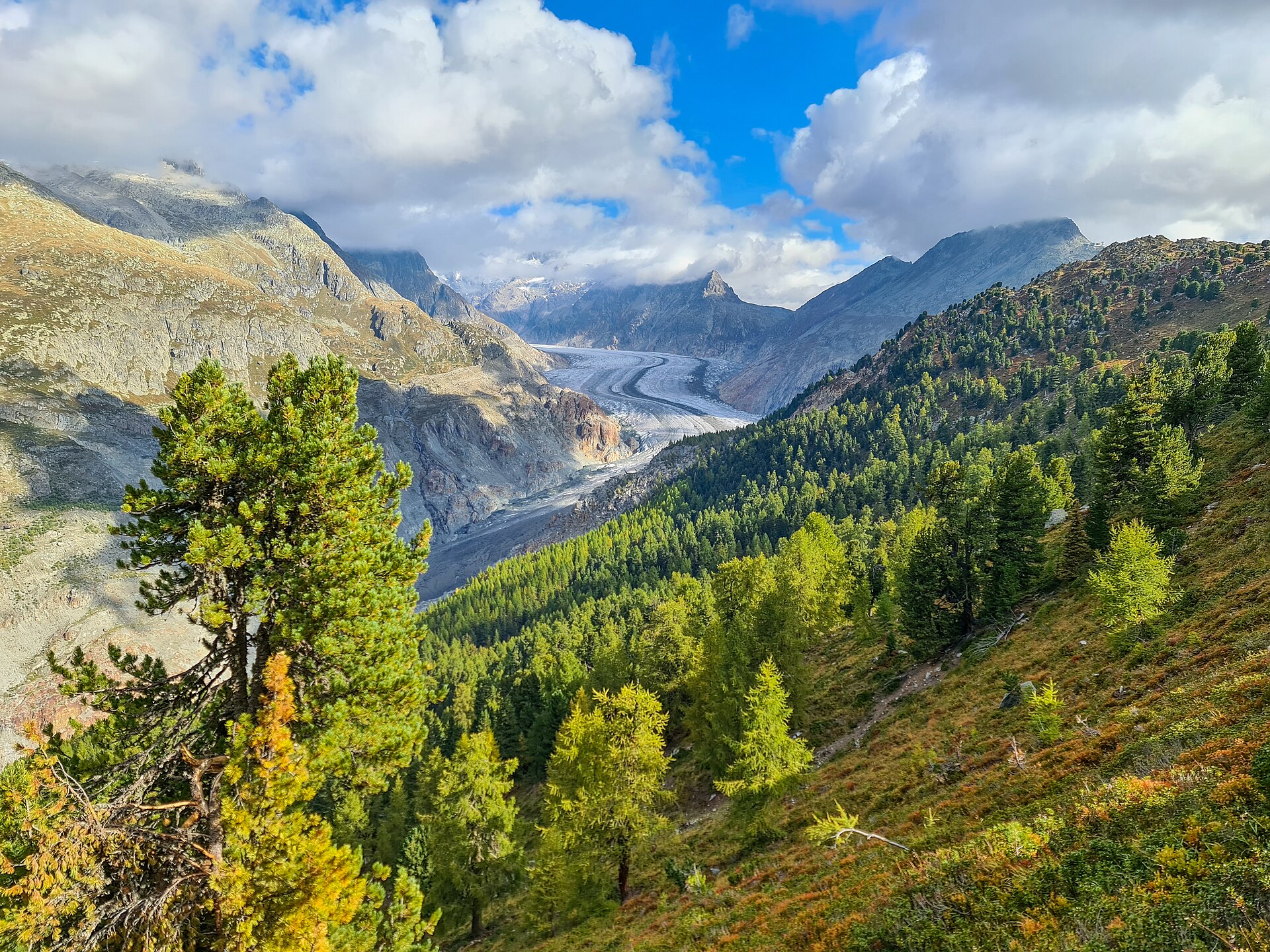
Sentiero naturalistico della foresta dell'Aletsch
Antichi pini svizzeri su un crinale ai piedi del ghiacciaio dell'Aletsch.