
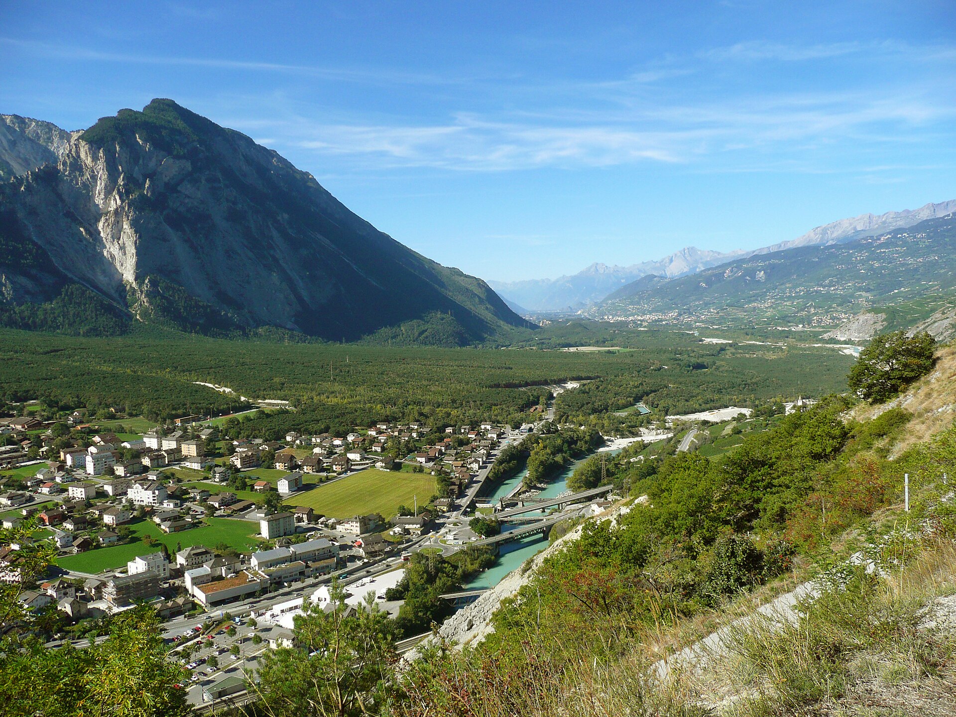
La foresta di Pfynwald e il ponte sospeso
The Pfynwald Forest & Suspension Bridge Walk is an easy to moderate (SAC T1/T2) 8.4 km circular loop taking around 2.5 hours. It winds through the protected Scots pine reserve of the Pfyn-Finges Nature Park and crosses the Serac suspension bridge spanning the wild Rhone river. The Pfynwald (Forêt de Finges) is one of the most important protected natural reserves in Switzerland, spanning the broad Rhone valley floor between Sierre and Leuk. Characterized by sparse Scots pine trees growing over massive prehistoric rockslide debris, this flat nature trail features crystal-clear irrigation channels, protected wetlands, and the dramatic Serac suspension bridge crossing the roaring Rhone.
- Distanza
- 8.4 km
- Durata
- 2.5 h
- Dislivello
- 165 m
- Difficoltà
- Facile
In sintesi
2/5
4/5
2/5
mar – nov
Percorso
Il percorso, passo dopo passo
- 1
Pfyn-Finges Nature Centre
Start at the Salgesch nature center (Im Schoren 23) and follow waymarked nature trails into the pine forest.
- 2
Rhone River & Wetlands
Meander through protected wetlands, oxbow lakes, and tranquil water channels fed by alpine runoff.
- 3
Serac Suspension Bridge
Cross the 80-meter-long Serac suspension bridge hanging gracefully over the rushing turquoise waters of the Rhone.
- 4
Forest Loop Return
Loop back through the fragrant pine woodland past limestone boulder fields to complete the circuit.
Profilo altimetrico
Scegli la tua versione
Short
Direct loop from Pfyn-Finges Nature Park center to the Serac suspension bridge and back (4.5 km, ~1h 15m).
Classic
Full Pfynwald forest and river loop crossing the suspension bridge (8.4 km, ~2h 30m).
Extended
Extend the walk eastward connecting into the historic wine village of Salgesch (11.0 km, ~3h 30m).
Pianifica la giornata
Come arrivare e logistica
- Partenza
- Take the SBB train to Salgesch or Leuk station, then walk 10 minutes to the Pfyn-Finges Nature Park Centre (Naturparkzentrum).
- Arrivo
- Il tragitto in auto da Sierre a Leuk dura circa 10 minuti.
- Parcheggio
- Drive along the A9 motorway into the Rhone valley, exiting at Sierre-Ouest or Leuk/Salgesch, and park at the designated nature center lots. Free or low-cost parking available directly at the Pfyn-Finges Nature Centre in Salgesch.
Prima di partire, controlla
- Pfynwald is a protected reserve—stay strictly on marked paths and do not disturb wildlife or pick protected plants.
- Check seasonal weather; because the walk is at lower valley elevation (approx. 600m), it is accessible nearly year-round from March through November.
- Bring mosquito repellent if walking near wetlands during warm summer evenings.
- Combine your walk with a wine-tasting visit in nearby Salgesch.
Quanto costa la giornata
- Nature Park Centre Exhibition Entry: ~CHF 8.00–12.00 (optional).
- Parking: Free at Nature Centre lots.
- Food/Wine Tasting: CHF 15–30 depending on winery visits.
Piano B se il tempo peggiora
If unexpected rain hits, explore the indoor interactive exhibitions at the Pfyn-Finges Nature Centre or visit historic Sierre.
Buono a sapersi
- Giornata di pioggia
- Visit the Pfyn-Finges Nature Park Visitor Centre in Salgesch or explore the subterranean water museum in Leuk.
- Con i bambini
- Highly family-friendly and accessible; flat paths with plenty of educational nature boards along the way.
- Cani
- Allowed on leash; please keep dogs close to protect ground-nesting birds in the reserve.
Dormire e riposare
Punti di sosta e rifugi
Leuk village cafes
Alcuni luoghi del paese.
Sierre restaurants
Una selezione di luoghi in città.
Picnic spots in the forest
Panchine lungo i sentieri.
Dove alloggiare
Upscale – Grand Hôtel du Golf & Spa
Un hotel a cinque stelle, a circa 30 minuti di distanza.
Potremmo ricevere una commissione sulle prenotazioni effettuate tramite questo link.
Attrezzatura
Attrezzatura essenziale
Per questa escursione
- Light hiking shoes
- Sun hat
- Plenty of water
- Binoculars
- Snacks
Sempre
- Sturdy hiking shoes with real tread (trainers only on the flattest routes)
- Water, at least 1 to 1.5 litres per person, more in summer
- Rain shell and one warm layer, even on a sunny morning
- Sun cream, hat and sunglasses (UV rises about 10% per 1,000 m)
- Snacks or a picnic and some cash in coins and small notes
- Phone with offline map (SwissTopo or Komoot), power bank, ID
- Small first-aid kit: plasters, blister tape, painkillers
Approfondimenti
La storia
Pfynwald sits atop millions of tons of rock that crashed down from the Tschingelhorn during prehistoric landslides. Because the soil is dry and nutrient-poor, the Scots pines remain stunted and bonsai-like, creating a unique Mediterranean-alpine microclimate that serves as a vital sanctuary for rare orchids, butterflies, and nesting birds.
Da assaggiare
Visit a local winery in nearby Salgesch—the wine-making capital of upper Valais—to taste authentic local Cornalin or Humagne Rouge wines paired with artisan cheese.
Note sul percorso
Il Pfynwald è una delle più grandi pinete delle Alpi e si estende su una pianura arida e sassosa tra Leuk e Sierre, nel Vallese. Il terreno è ghiaioso e il clima secco, per cui gli alberi crescono lentamente e la foresta presenta un aspetto simile a quello di una steppa, con una ricca fauna di insetti. Si tratta di un’area protetta. Un sentiero attraversa la foresta e un ponte sospeso sul Rodano, da cui si gode la vista sulle pareti della valle. La passeggiata è pianeggiante e facile, e rappresenta un’ottima escursione di mezza giornata nel Vallese, specialmente in primavera e in autunno, quando il caldo non è troppo intenso. SAC T1: Escursione T1: sentiero segnalato in giallo, nessuna esposizione significativa
Escursioni nelle vicinanze
- Sentiero naturalistico della foresta dell'Aletsch – Riederalp, VS
- Il ponte sospeso di Charles Kuonen sopra Randa – Randa, VS
- Percorso ad anello del lago di Derborence e della foresta primordiale – Valais Alps / Derborence, VS
Dove dormire nelle vicinanze
- Rifugio Alpino, Zermatt – Zermatt, VS
Esperienze vicino a questa escursione
Potremmo ricevere una commissione sulle prenotazioni effettuate tramite questo link.
 Sponsorizzatoda CHF 99Sponsorizzatoda CHF 120
Matterhorn Glacier Paradise Cable Car Experience
Sponsorizzatoda CHF 95Altre attività nei dintorni
Potremmo ricevere una commissione sulle prenotazioni effettuate tramite questo link.
Scopri le esperienze su GetYourGuideLo sapevi?
Jungfraujoch is Europe's highest railway station (3,454 m).
Politica e storiaJ.R.R. Tolkien's 1911 walking tour of Switzerland heavily influenced the landscapes of The Lord of the Rings.
Geografia e naturaGrande Dixence is the world's tallest gravity dam (285 m) and holds 400 million m³.
Potrebbe interessarti anche
 Sponsorizzato
Rifugio Alpino, Zermatt
Un lodge di montagna di design con vista sul Cervino.
Potremmo ricevere una commissione sulle prenotazioni effettuate tramite questo link.
 In evidenza
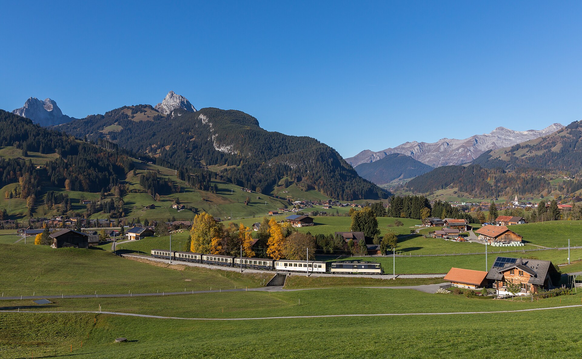
Ascensione alpina del Barrhorn
Conquer Europe's highest officially marked hiking summit without ropes or glaciers.
 In evidenza
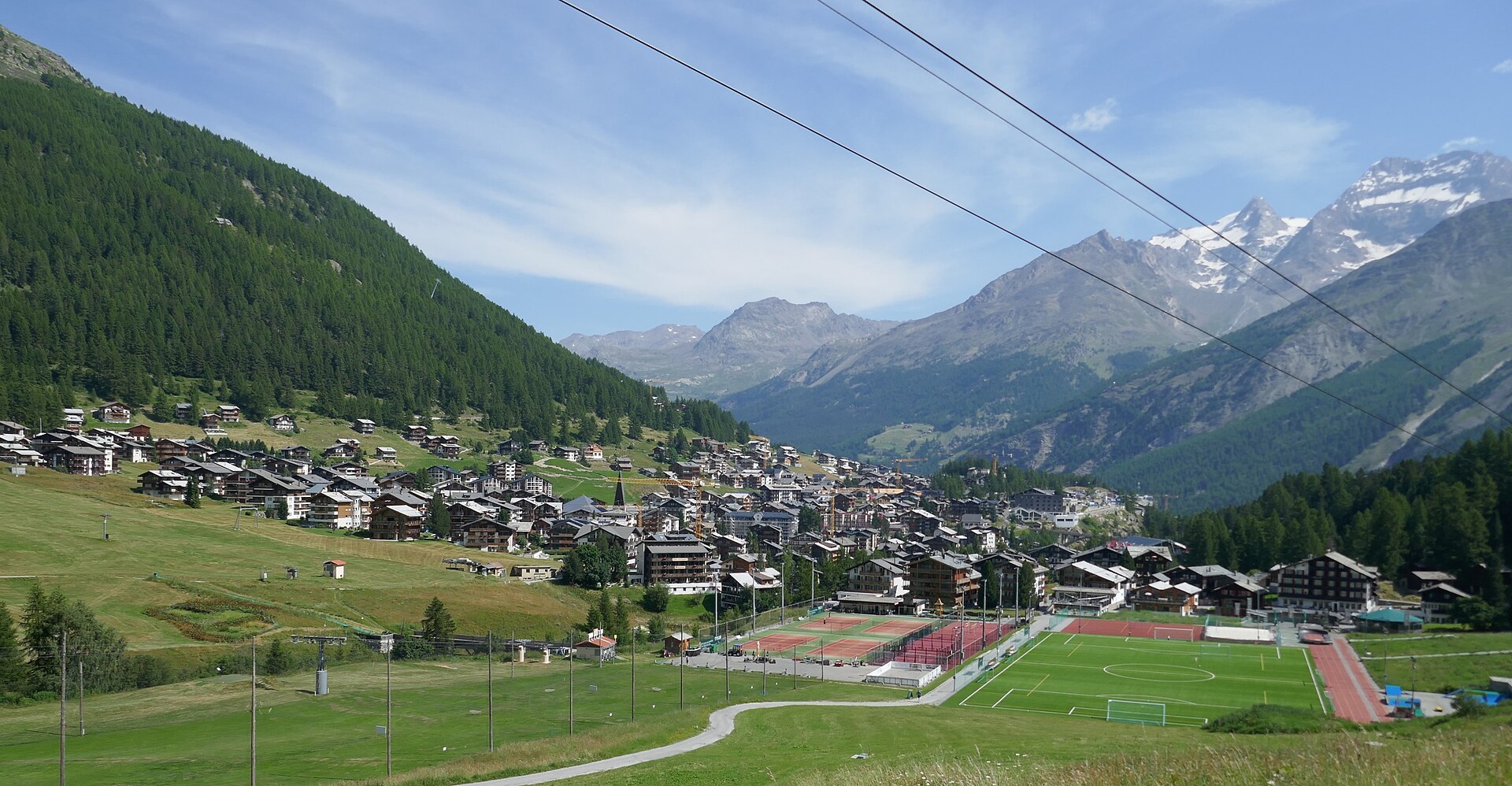
Avvicinamento alle capanne del Mischabel
Un'impegnativa via SAC T6 sopra Saas-Fee, su scale verticali e pioli di ferro fino alla Mischabelhütte a 3340 m.
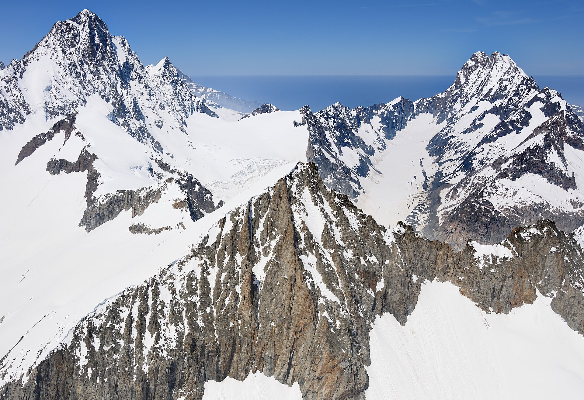
Sentiero in quota da Äugststafel al Passo della Gemmi
Una spettacolare traversata alpina in alta montagna, che si snoda ben al di sopra della conca termale di Leukerbad, collegando Äugststafel allo storico hotel del Passo della Gemmi e alla stazione della funivia. Il sentiero si snoda lungo alte falesie calcaree e pendii erbosi, offrendo panorami mozzafiato sulle Alpi vallesane, comprese le imponenti vette del Weisshorn e del gruppo del Mischabel. Questo percorso classico collega i paesaggi alpini bernesi e vallesani grazie a sentieri sicuri e ben curati.
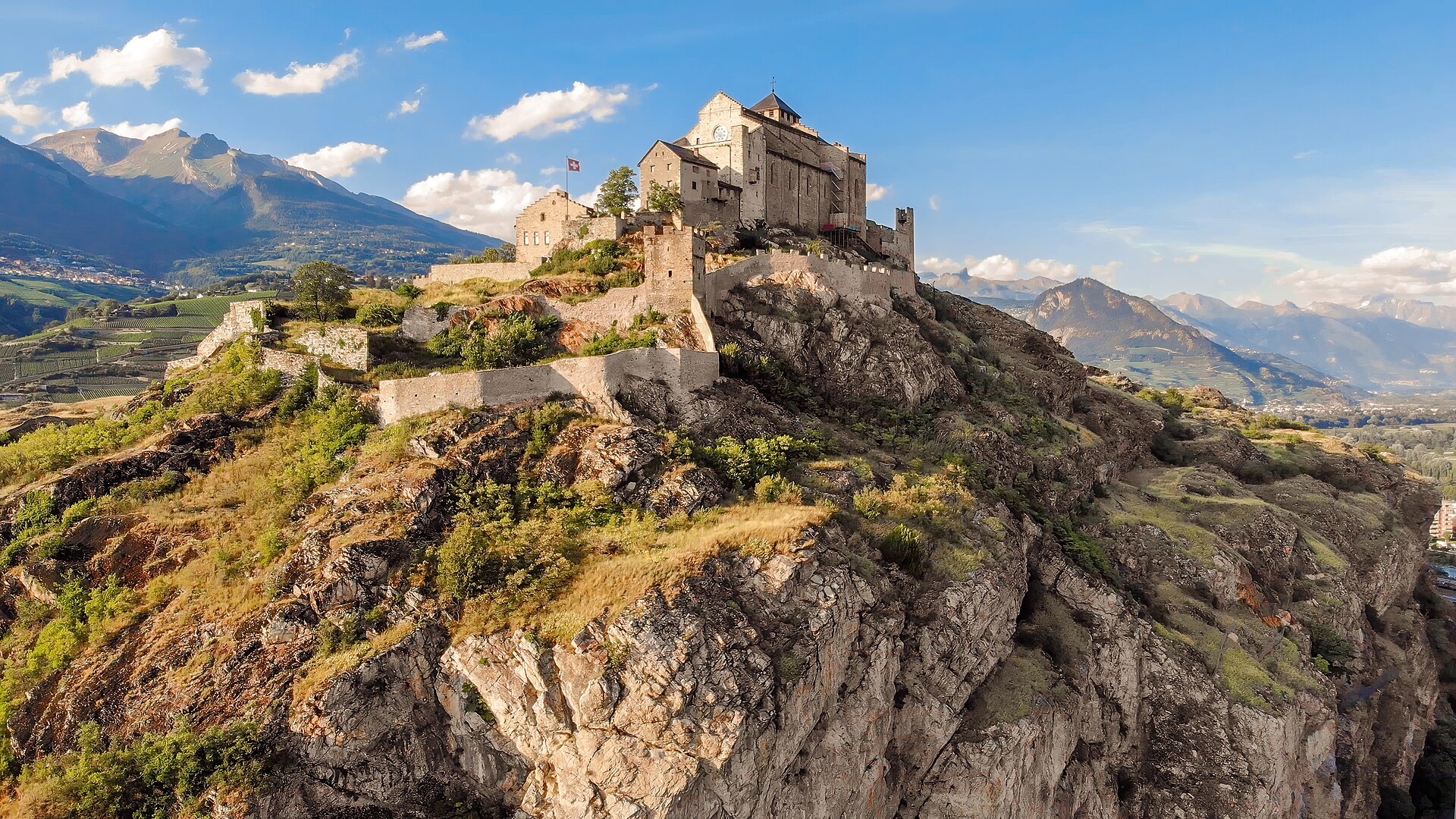
Percorso storico del bisse da Agettes a Veysonnaz
Un percorso pianeggiante e agevole che segue le curve di livello dello storico Bisse de Vex lungo i pendii soleggiati della Valle del Rodano. Costruito nel XV secolo per convogliare l’acqua di disgelo delle montagne verso i vigneti, il sentiero lungo il canale del bisse si snoda attraverso profumati boschi di larici e pini, attraversa ponticelli di legno e si snoda tra radure aperte che offrono viste panoramiche sui castelli storici di Sion e sulle Alpi bernesi. Il percorso presenta una pendenza praticamente nulla, rendendolo adatto a tutte le età e a tutti i livelli di forma fisica.
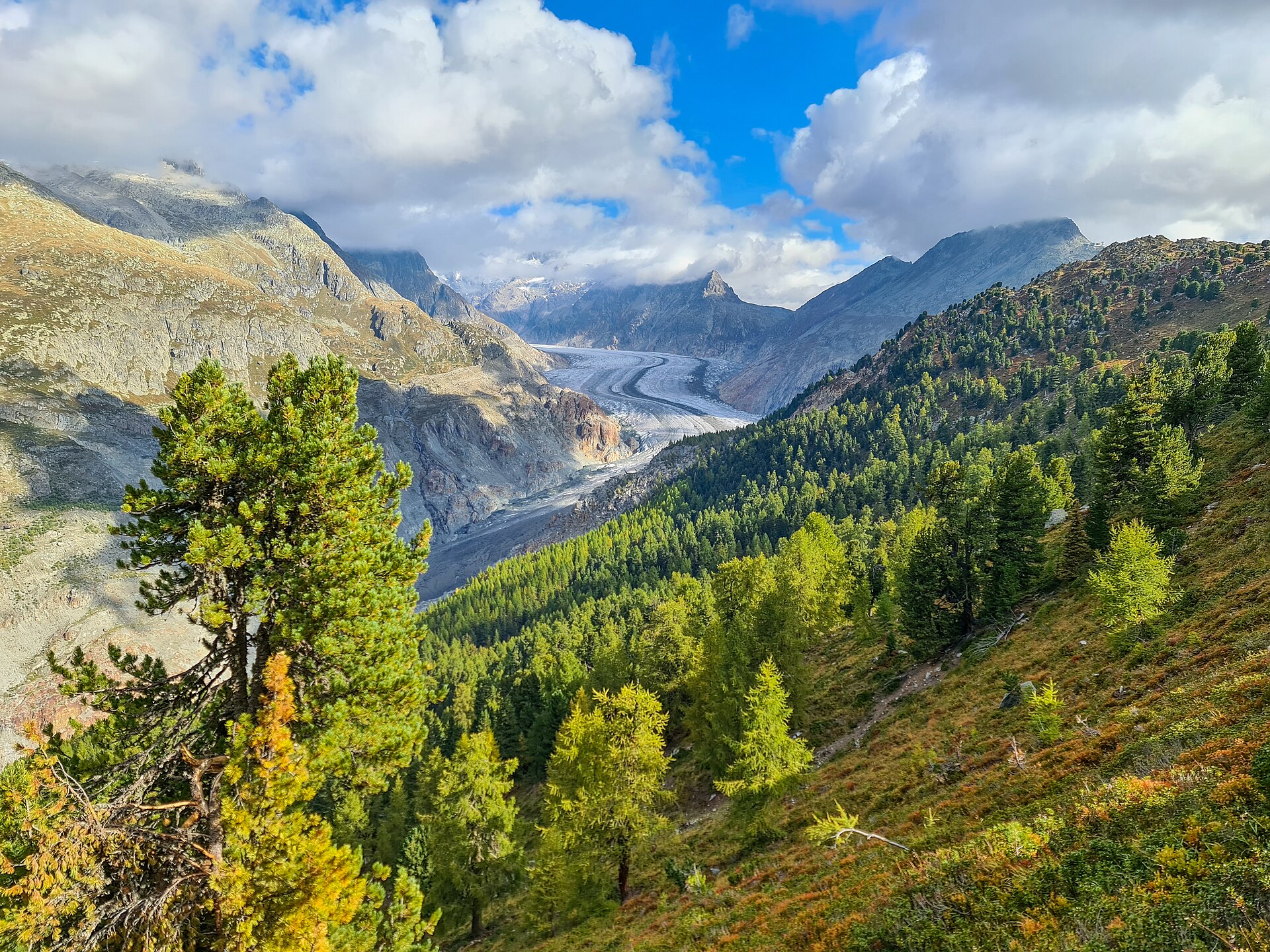
Sentiero naturalistico della foresta dell'Aletsch
Antichi pini svizzeri su un crinale ai piedi del ghiacciaio dell'Aletsch.