
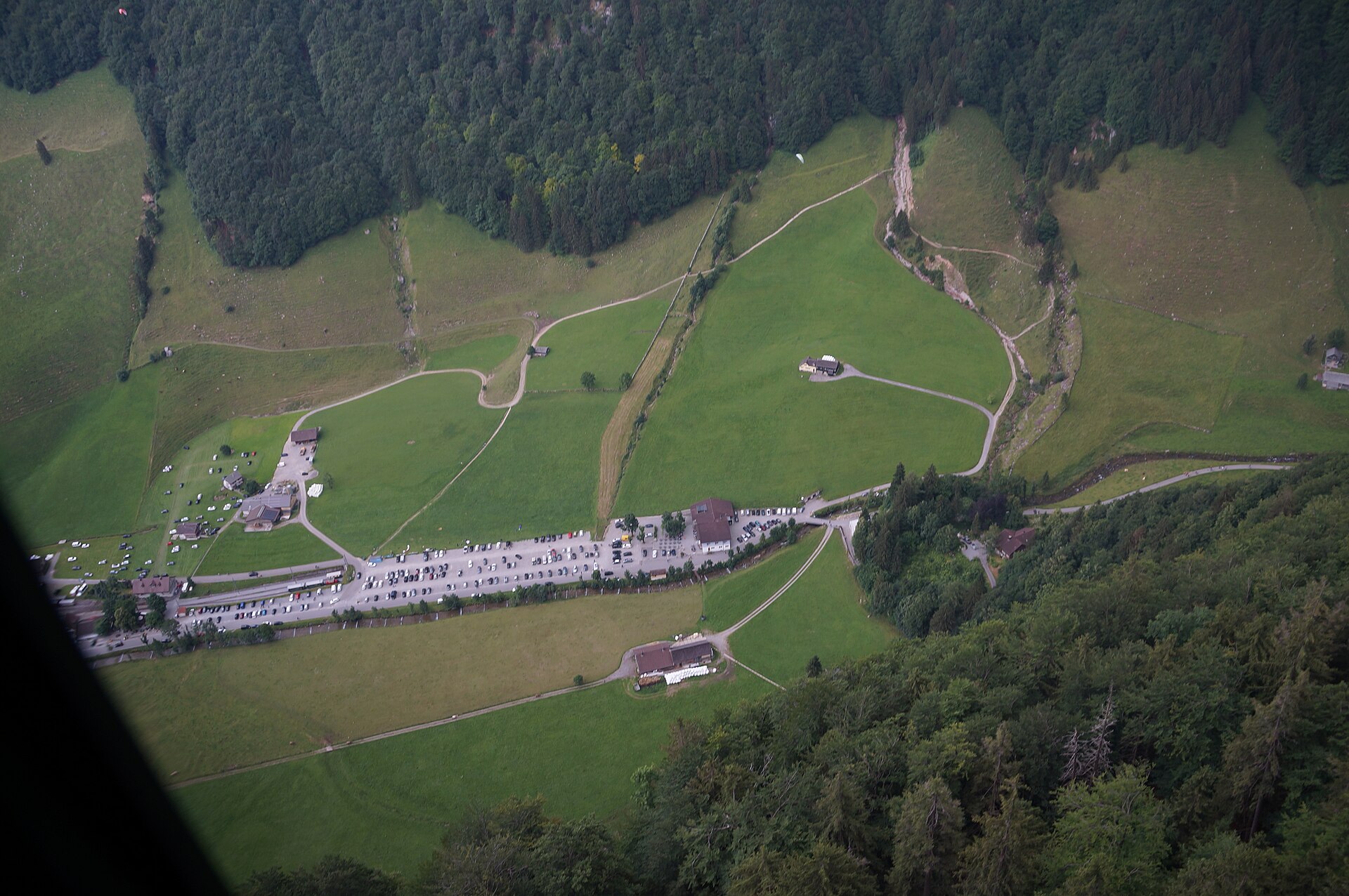
Altmann via the Rotsteinpass
The Altmann is one of the high summits of the Alpstein massif, a limestone peak above the Meglisalp valley. The route from Wasserauen climbs through the Meglisalp and up to the Rotsteinpass, where a mountain hut stands at 2,120 m, and then continues along a ridge to the summit. The path is long and steep, with exposed sections and loose rock near the top. It is a T3 route that needs good fitness, sure feet and a head for heights. In return you get a quiet, wild corner of the Alpstein with some of the best views in the region. SAC T3: T3 Demanding mountain hiking: exposed sections, scree, hands sometimes needed
- Distance
- 15 km
- Duration
- 7.5 h
- Ascent
- 1'600 m
- Difficulty
- Hard
At a glance
5/5
5/5
2/5
Jul – Sep
Route
The route, step by step
- 1
Wasserauen to Meglisalp
A long climb through forest and pasture to the Meglisalp.
- 2
Up to the Rotsteinpass
The path steepens as it climbs to the pass hut.
- 3
Ridge to the Altmann
A rocky ridge path leads to the summit, with exposed sections.
- 4
Return
Descend by the same path or by a signed loop.
Elevation profile
Choose your version
Short
Walk to Meglisalp and return, about 5 hours.
Classic
Climb to the Altmann and back, about 8 hours.
Extended
Stay overnight at the Rotsteinpass and add the Säntis the next day.
Plan your day
Getting there & logistics
- Start
- From Appenzell take the train to Wasserauen (about 20 minutes). Check the timetable and the last train back.
- Finish
- Drive from Appenzell to Wasserauen, about 10 minutes.
- Parking
- A large paid car park at Wasserauen.
Before you leave, check
- Is the lift, boat or railway running today, and when is the last one down?
- Forecast for morning and afternoon (MeteoSwiss), and any storm warnings.
- Trail status: snow, rockfall or closures (local tourist office or lift operator).
- Last public transport home, and your plan if you miss it.
- Hut or restaurant opening days, and whether you need a reservation.
What this day costs
- Train and PostBus fares to the start and home from the end. A Half Fare Card halves most of these.
- Parking, if you drive: day rates vary by place and season, and some car parks fill early.
- Food and drink: mountain restaurants cost noticeably more than the valley. A picnic cuts the day cost sharply.
- Entry fees where they apply, for example caves, gorges or lakeside facilities.
Plan B if the weather turns
Visit the Appenzell cheese dairy.
Good to know
- Rainy day
- Visit the Appenzell cheese dairy.
- With kids
- Not recommended for children or beginners.
- Dogs
- Not suitable for most dogs because of the exposed ridge.
Stay & rest
Rest options & mountain huts
Berggasthaus Rotsteinpass
The main stop on the route.
Meglisalp inn
A small mountain inn halfway up.
Wasserauen restaurants
A few places at the start and end.
Where to stay
Budget – Berggasthaus Rotsteinpass
A mountain inn with dorm beds, book ahead.
Mid-range – Hotel Appenzell
A traditional hotel in the village.
Upscale – Hof Weissbad Hotel & Spa
A large spa hotel.
We may earn a commission from bookings made through this link.
Gear
Essential trail gear
For this hike
- Sturdy mountain boots
- Warm layers, gloves and hat
- Poles
- Sun cream and sunglasses
- 2 to 3 litres of water
- Headlamp for a long day
Always
- Sturdy hiking shoes with real tread (trainers only on the flattest routes)
- Water, at least 1 to 1.5 litres per person, more in summer
- Rain shell and one warm layer, even on a sunny morning
- Sun cream, hat and sunglasses (UV rises about 10% per 1,000 m)
- Snacks or a picnic and some cash in coins and small notes
- Phone with offline map (SwissTopo or Komoot), power bank, ID
- Small first-aid kit: plasters, blister tape, painkillers
Background
The story
The Alpstein is a compact range with some of the densest hiking trails in Switzerland, and its mountain inns are famous.
Taste it
A plate of Appenzeller cheese and a bowl of barley soup at the pass inn.
Route notes
The Altmann is one of the high summits of the Alpstein massif, a limestone peak above the Meglisalp valley. The route from Wasserauen climbs through the Meglisalp and up to the Rotsteinpass, where a mountain hut stands at 2,120 m, and then continues along a ridge to the summit. The path is long and steep, with exposed sections and loose rock near the top. It is a T3 route that needs good fitness, sure feet and a head for heights. In return you get a quiet, wild corner of the Alpstein with some of the best views in the region. SAC T3: T3 Demanding mountain hiking: exposed sections, scree, hands sometimes needed
Nearby hikes
- Alpstein Ridge Crossing (Wasserauen to Hoher Kasten) – Alpstein Massif, AI
- Säntis via the Lisengrat Ridge – Wasserauen, AI
- Andermatt to Oberalppass Historic Route – Urseren Valley, UR
More things to do nearby
We may earn a commission from bookings made through this link.
Browse experiences on GetYourGuideDid you know?
You might also like
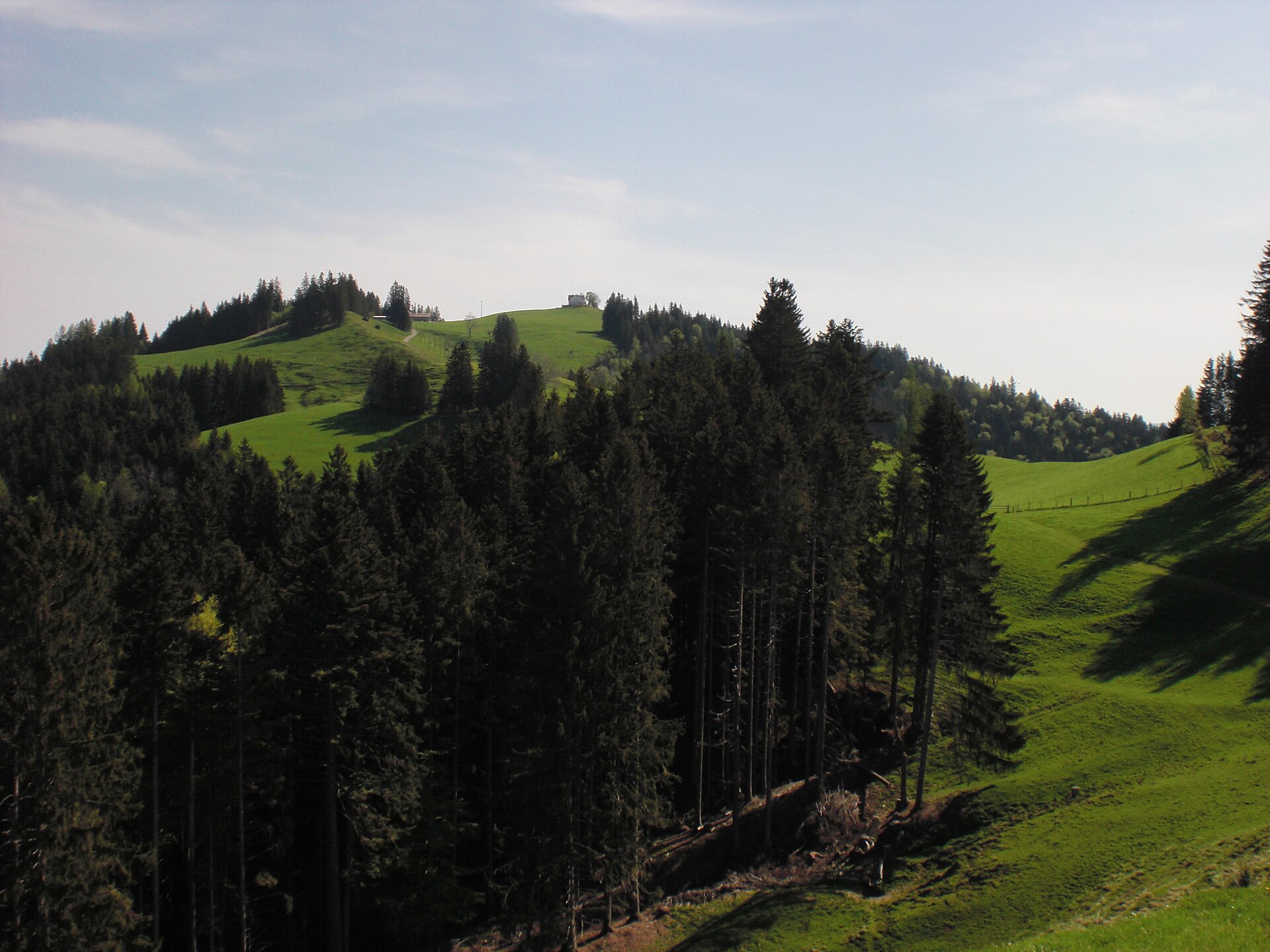
Gäbris Ridge above Gais
A rolling ridge in the Appenzell hills, with a view of Lake Constance.
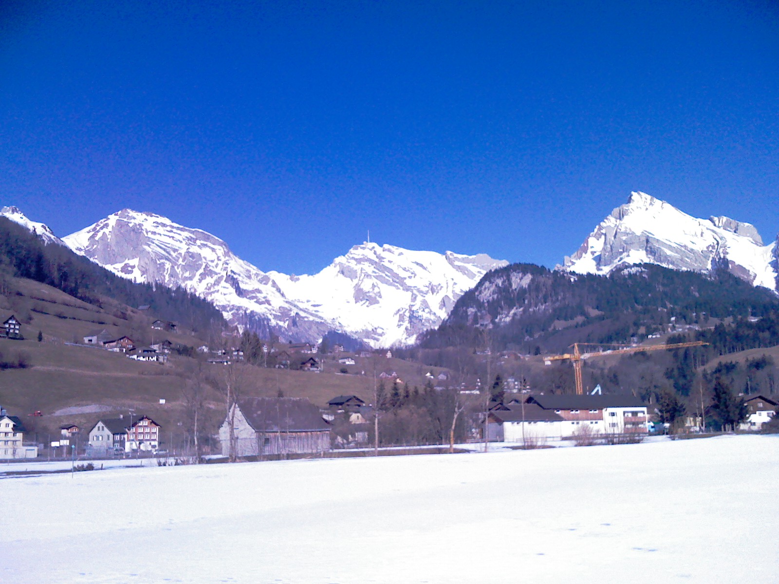
Santis Massif Summit & Geological Ridge Trail
A legendary and dramatic high-alpine ridge hike leading to the summit of Säntis (2,502 m)—the majestic weather-station peak towering over northeastern Switzerland. Starting from Schwägalp through primeval forest and steep limestone karst arêtes (Geological Trail), the route culminates on the panoramic summit terrace with staggering 360-degree views across six countries.
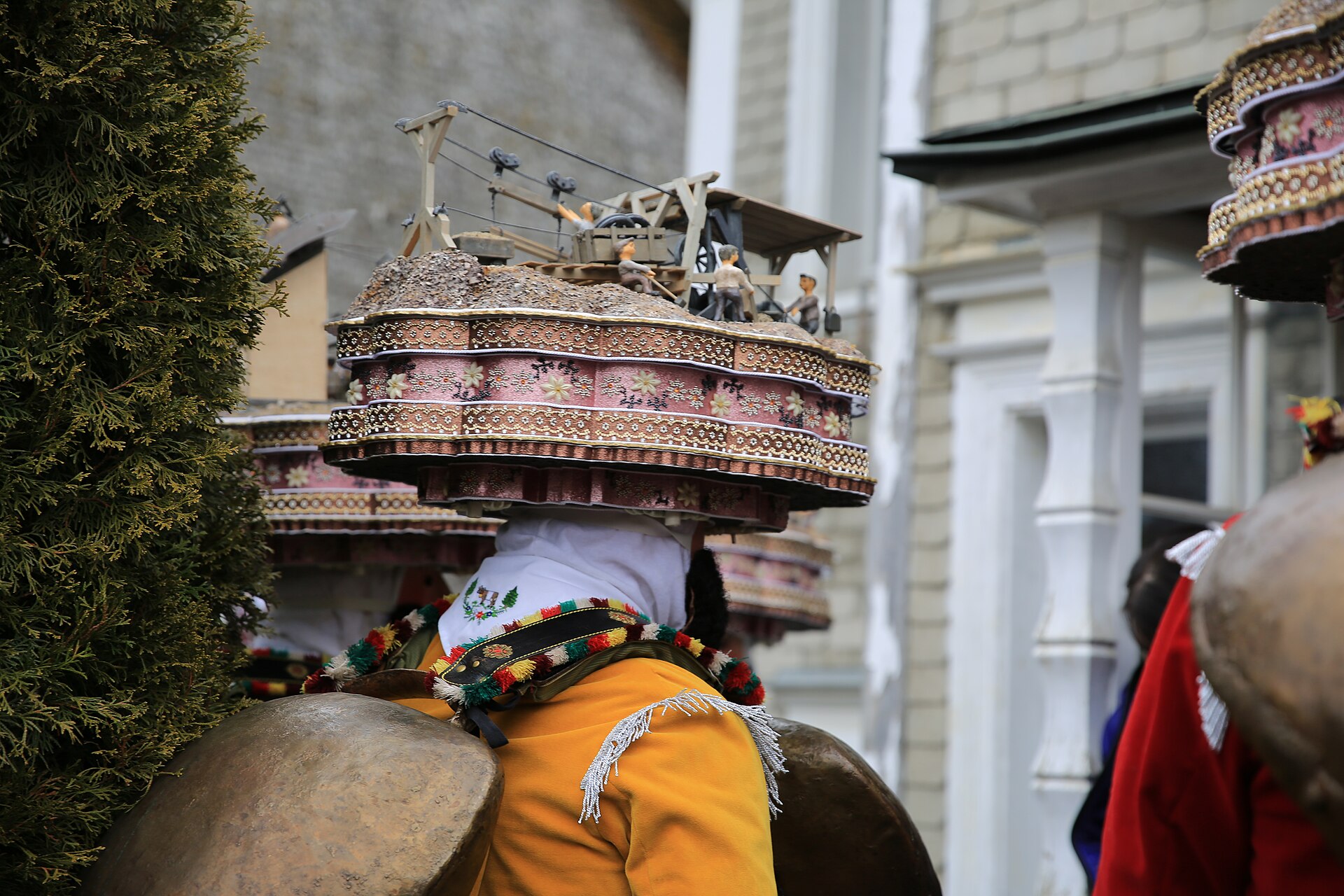
Silvesterklausen Urnäsch New Year Tradition 2027
Ancient Appenzell New Year's custom featuring elaborate headpieces, heavy cowbells, and harmonious yodeling.
Stoss Pass and the Battle Monument near Gais
A pass above Gais where the Appenzellers won a famous battle in 1405.