
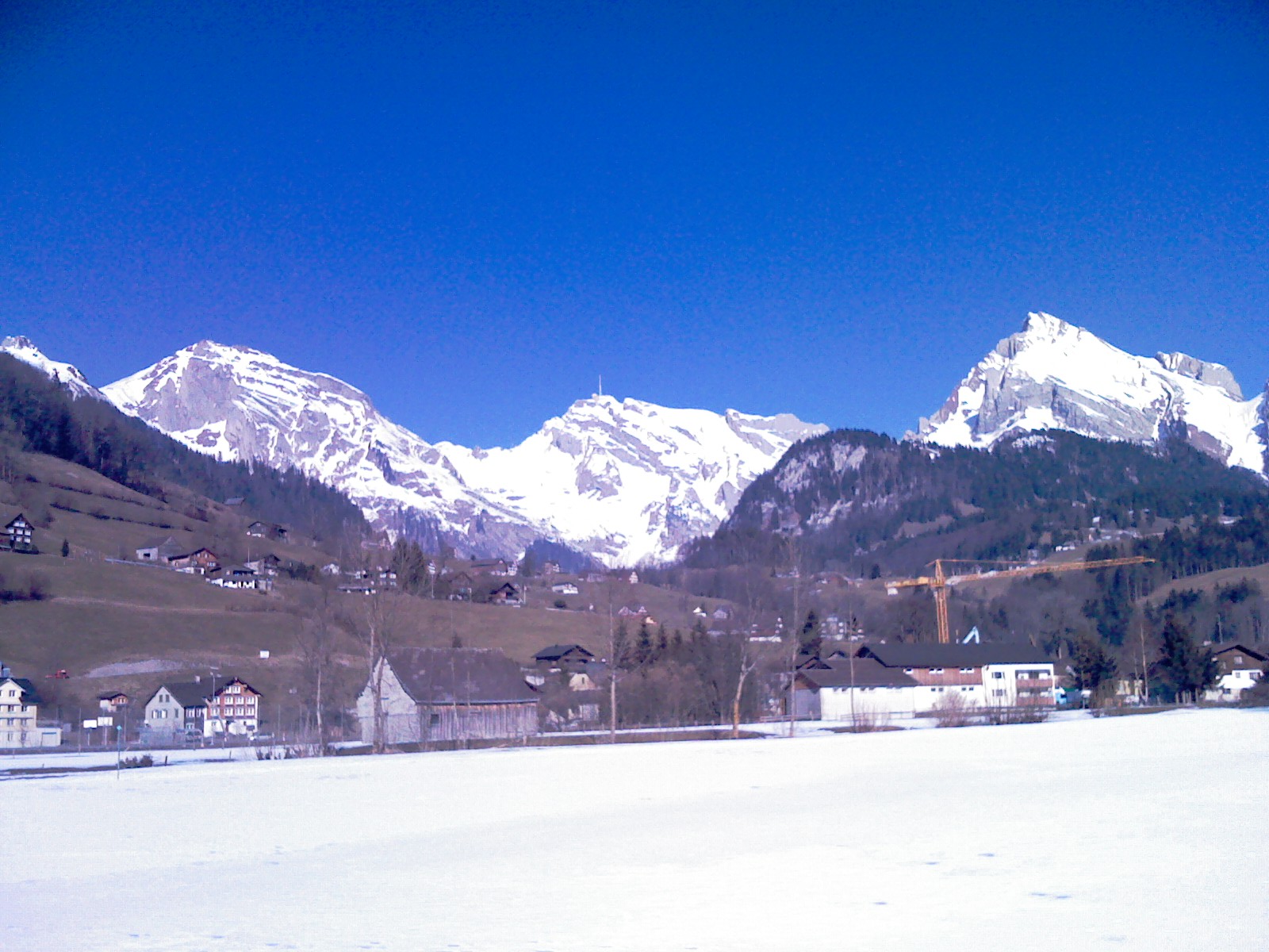
Santis Massif Summit & Geological Ridge Trail
A legendary and dramatic high-alpine ridge hike leading to the summit of Säntis (2,502 m)—the majestic weather-station peak towering over northeastern Switzerland. Starting from Schwägalp through primeval forest and steep limestone karst arêtes (Geological Trail), the route culminates on the panoramic summit terrace with staggering 360-degree views across six countries. ---
- Distance
- 6.5 km
- Difficulty
- Hard
Route
The route, step by step
- 1
Stage 1: Schwägalp Cable Car Station to Tierwis
From Schwägalp pass, follow signposted mountain trails climbing steeply through alpine forest and limestone karst terrain up to Tierwis mountain inn. (3.5 km, +780 m / -20 m)
- 2
Stage 2: Tierwis to Säntis Summit Ridge
Climb the exposed, wire-secured limestone ridge trail winding along the precipitous cliff edge directly to the Säntis summit complex. (3.0 km, +480 m / -40 m)
- 3
Stage 3: Säntis Summit Terraces & Cable Car Return
Explore the indoor exhibition halls, restaurants, and outdoor panoramic viewing decks before taking the aerial cable car back down to Schwägalp. (0.5 km)
Plan your day
Getting there & logistics
- Start
- SBB train to Urnäsch or Herisau, then take the regional PostBus line directly to "Schwägalp, Säntis-Schweiz".
- Finish
- Return via same route or loop connection
- Parking
- Drive via Appenzell or Urnäsch up to Schwägalp pass. Park at the large parking lot at Säntis cable car valley station (CHF 5.00/day).
Good to know
- Rainy day
- Check local weather forecasts and mountain railway operational schedules before departure.
Stay & rest
Rest options & mountain huts
Panoramic Picnic Spot
Tierwis Mountain Inn Terrace — Wooden sun deck perched on the limestone ridge facing the Alpstein massif.
Supermarket Prep
Coop or Migros Urnäsch or Appenzell village centers before driving to Schwägalp.
On-Trail Mountain Inn
**Säntis Summit Panorama Restaurant** — Famous for Appenzell cheese specialties, hearty mountain soups, and fresh strudel.
Where to stay
Budget – Berggasthaus Tierwis
Historic alpine mountain inn perched on the ridge below Säntis offering authentic dormitory lodging.
Mid-Range – Hotel Säntis Schwägalp
Modern 3-star superior alpine hotel located right at the cable car valley station with wonderful spa facilities.
Upscale – Grand Resort Bad Ragaz
5-star luxury health and thermal spa resort within 45 minutes drive.
We may earn a commission from bookings made through this link.
Gear
Essential trail gear
For this hike
- Sturdy hiking boots
- Windproof shell jacket
- Water bottle (1.5L)
Always
- First aid kit
- Alpine emergency blanket
- Swiss topographic map / Komoot
Background
Route notes
A legendary and dramatic high-alpine ridge hike leading to the summit of Säntis (2,502 m)—the majestic weather-station peak towering over northeastern Switzerland. Starting from Schwägalp through primeval forest and steep limestone karst arêtes (Geological Trail), the route culminates on the panoramic summit terrace with staggering 360-degree views across six countries. ---
Nearby hikes
- Santis Summit via Tierwis – Schwägalp, AI
- Säntis via the Lisengrat Ridge – Wasserauen, AI
- Hundstein Summit Ridge Hike – Alpstein / Appenzell Alps, AI
More things to do nearby
We may earn a commission from bookings made through this link.
Browse experiences on GetYourGuideDid you know?
You might also like
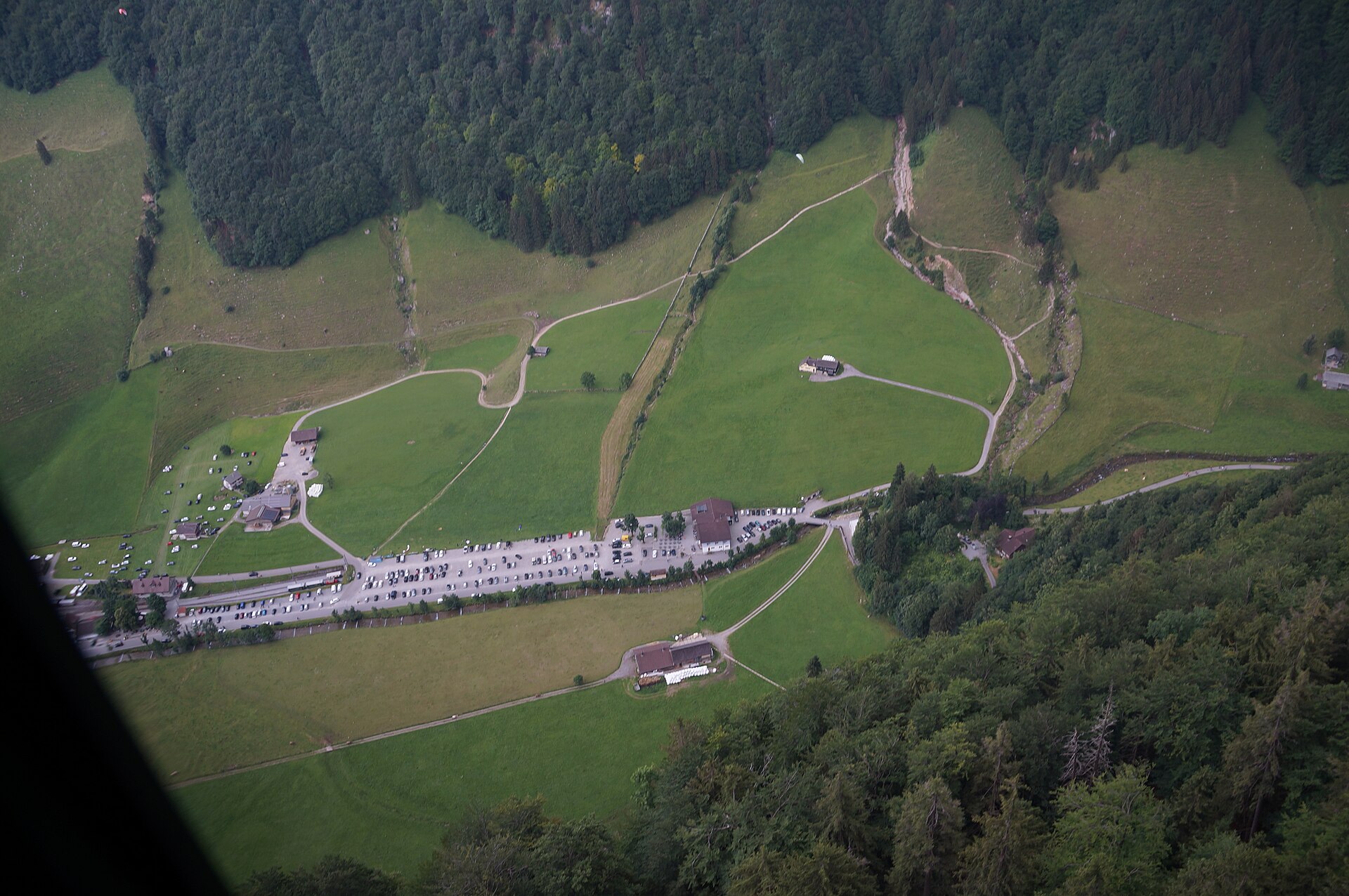
Altmann via the Rotsteinpass
A long Alpstein day to a limestone summit, with a pass hut halfway.
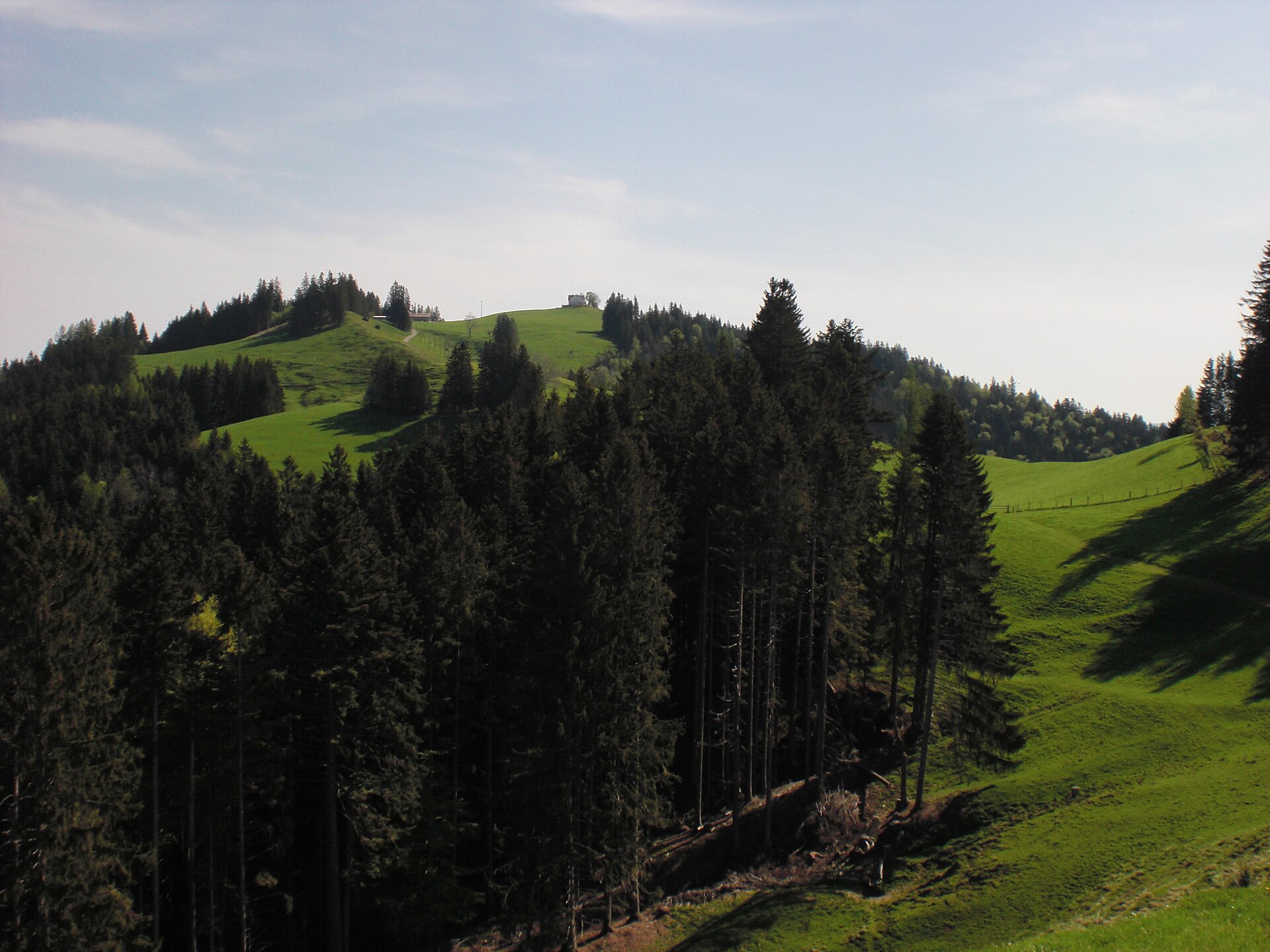
Gäbris Ridge above Gais
A rolling ridge in the Appenzell hills, with a view of Lake Constance.

Silvesterklausen Urnäsch New Year Tradition 2027
Ancient Appenzell New Year's custom featuring elaborate headpieces, heavy cowbells, and harmonious yodeling.
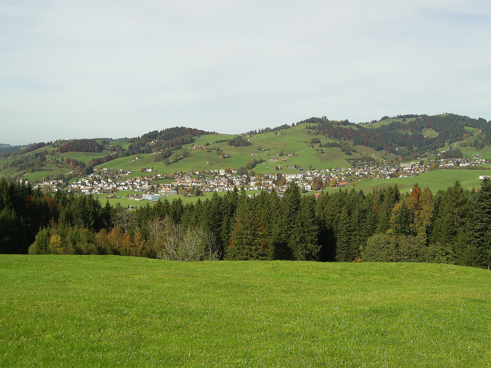
Stoss Pass and the Battle Monument near Gais
A pass above Gais where the Appenzellers won a famous battle in 1405.