
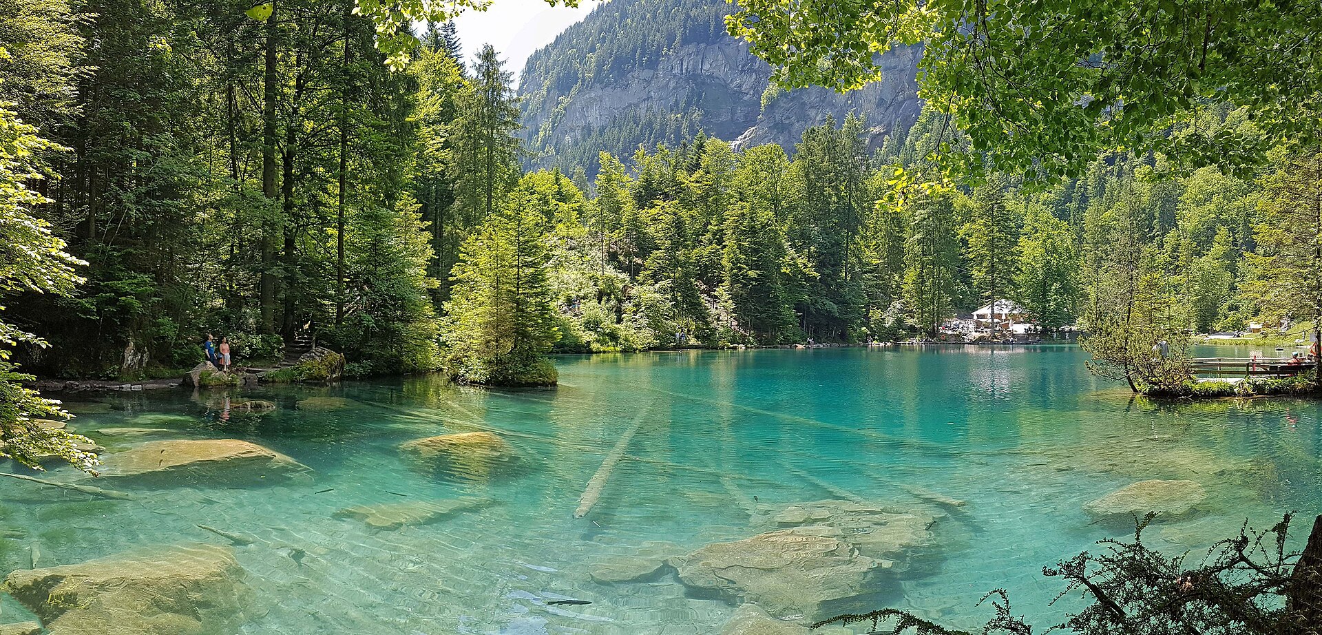
Blausee-Mitholz Panorama Trail
A peaceful and lesser-known hillside terrace trail linking the famous Blausee nature park area with the historic mountain settlement of Mitholz in the upper Kander Valley. Winding through quiet pine forests, high-altitude dairy pastures, and rocky outcroppings, the route offers gorgeous panoramic views across the Kander river gorge and up toward the snow-clad peaks of the Blüemlisalp massif. ---
- Distance
- 7.5 km
- Difficulty
- Moderate
Route
The route, step by step
- 1
Stage 1: Blausee Park Junction to Forest Ascent
From Blausee nature park, follow the signposted mountain trail climbing steadily through pine woods toward the upper terrace. (2.2 km, +210 m / -40 m)
- 2
Stage 2: Mitholz Terrace Traverse
Traverse the open alpine meadows and forest tracks leading south toward Mitholz. (3.5 km, +110 m / -120 m)
- 3
Stage 3: Mitholz Descent to Railway Station
Descend via pastoral switchbacks down to the Mitholz valley floor and railway station. (1.8 km, +10 m / -190 m)
Plan your day
Getting there & logistics
- Start
- SBB train to Frutigen or Kandersteg, then take BLS regional train or PostBus to Mitholz or Blausee-Mitholz station.
- Finish
- Return via same route or loop connection
- Parking
- Drive via Spiez to Kandersteg road (Route 210). Park at Blausee parking lot or Mitholz station area (CHF 5.00/day).
Good to know
- Rainy day
- Check local weather forecasts and mountain railway operational schedules before departure.
Stay & rest
Rest options & mountain huts
Panoramic Picnic Spot
Mitholz Ridge Benches — Wooden rest tables positioned on open pastures facing the Blüemlisalp peaks.
Supermarket Prep
Coop or Migros Frutigen before starting the trail.
On-Trail Mountain Inn
**Blausee Restaurant** — Serves fresh organic trout and regional Bernese specialties.
Where to stay
Mid-Range – Hotel Blausee
Charming 4-star boutique spa hotel located directly on the lake shore.
Upscale – The Cambrian Adelboden
4-star superior luxury design hotel located within regional driving distance.
We may earn a commission from bookings made through this link.
Gear
Essential trail gear
For this hike
- Sturdy hiking boots
- Windproof shell jacket
- Water bottle (1.5L)
Always
- First aid kit
- Alpine emergency blanket
- Swiss topographic map / Komoot
Background
Route notes
A peaceful and lesser-known hillside terrace trail linking the famous Blausee nature park area with the historic mountain settlement of Mitholz in the upper Kander Valley. Winding through quiet pine forests, high-altitude dairy pastures, and rocky outcroppings, the route offers gorgeous panoramic views across the Kander river gorge and up toward the snow-clad peaks of the Blüemlisalp massif. ---
Nearby hikes
- Blausee Nature Park & Trout Farm Trail – Kander Valley, BE
- Blausee and the Kander Valley Path – Kandersteg, BE
- Blatten bei Naters to Belalp Gorge Trail – Upper Valais, VS
Where to stay nearby
- Altstadt Boutique, Bern – Bern, BE
Experiences near this hike
We may earn a commission from bookings made through this link.
 Sponsoredfrom CHF 199Sponsoredfrom CHF 89Sponsoredfrom CHF 99
More things to do nearby
We may earn a commission from bookings made through this link.
Browse experiences on GetYourGuideDid you know?
You might also like
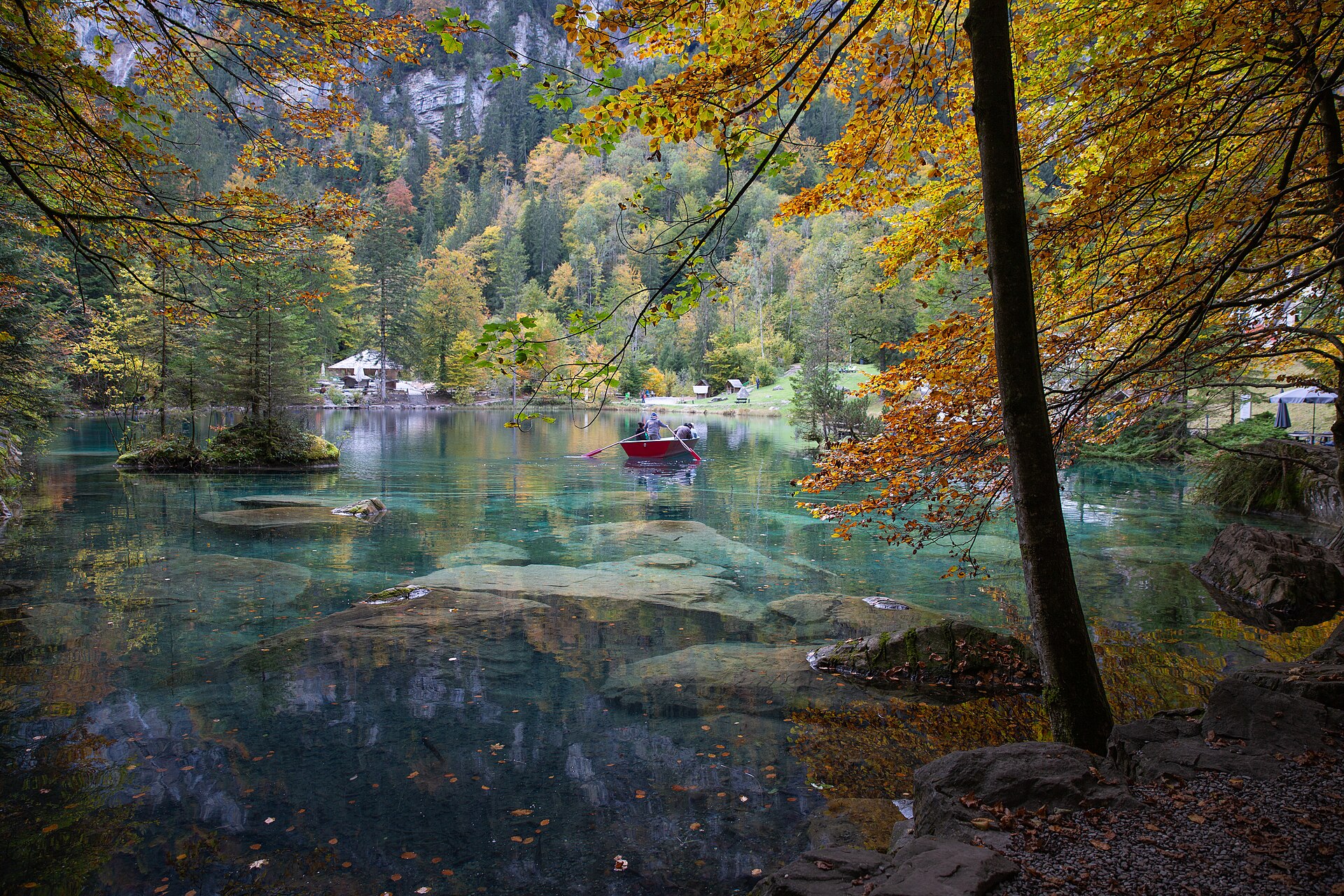
Blausee Nature Park & Trout Farm Trail
An enchanting, fairy-tale valley walk encircling the world-famous crystal-clear blue waters of Lake Blausee (Blausee), set inside a 20-hectare forested nature park in the Kander Valley. Fed by underground springs from the Bernese Alps, the lake is renowned for its mesmerizing turquoise purity, organic trout farming, moss-covered boulders, and winding walking paths shaded by ancient beech and fir trees.
 Featured
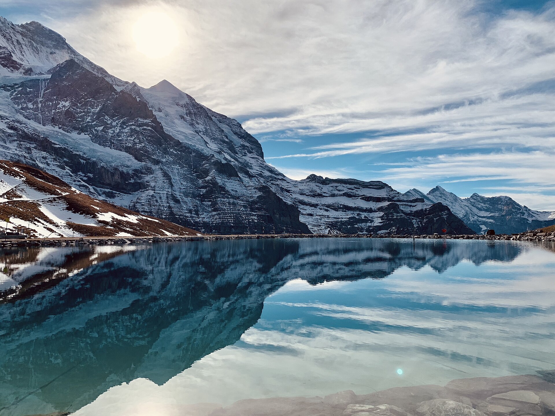
Eiger Trail: Eigergletscher to Alpiglen
A world-famous alpine traverse running directly along the base of the iconic Eiger North Face (Nordwand). Starting at the Eigergletscher station (2,320 m), the downhill trail tracks beneath the staggering 1,800-meter sheer limestone wall where legendary mountaineering history was written. The route offers unobstructed views over the Grindelwald valley, the Grosse Scheidegg pass, and the jagged Wetterhorn and Schreckhorn peaks.
 Featured
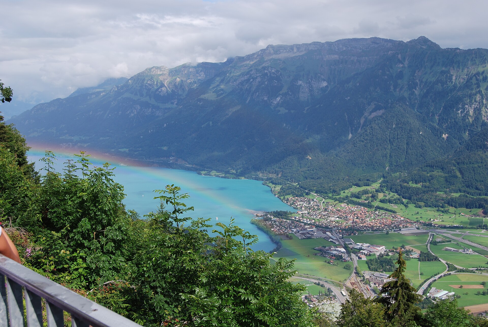
Hardergrat Ridge Traverse
Switzerland's most famous and thrilling knife-edge alpine ridge traverse.
 Featured
Schynige Platte Panorama Trail
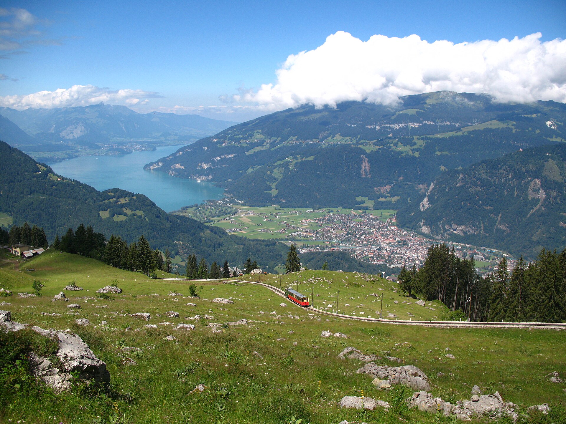
A short, easy 5 km ridge loop reached by a wooden cogwheel train, facing the Eiger, Mönch and Jungfrau.
Aarberg and the Aare Canal
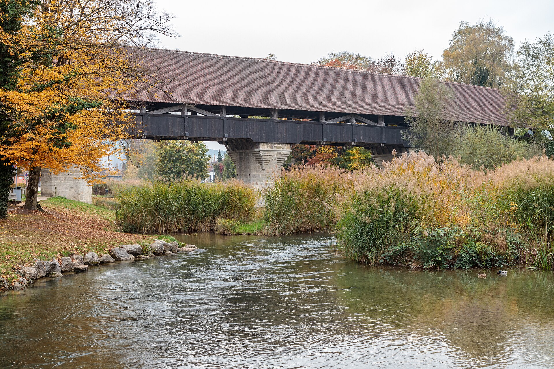
A town on an island with a covered wooden bridge, and a canal path through farmland.
Aare Gorge and Meiringen
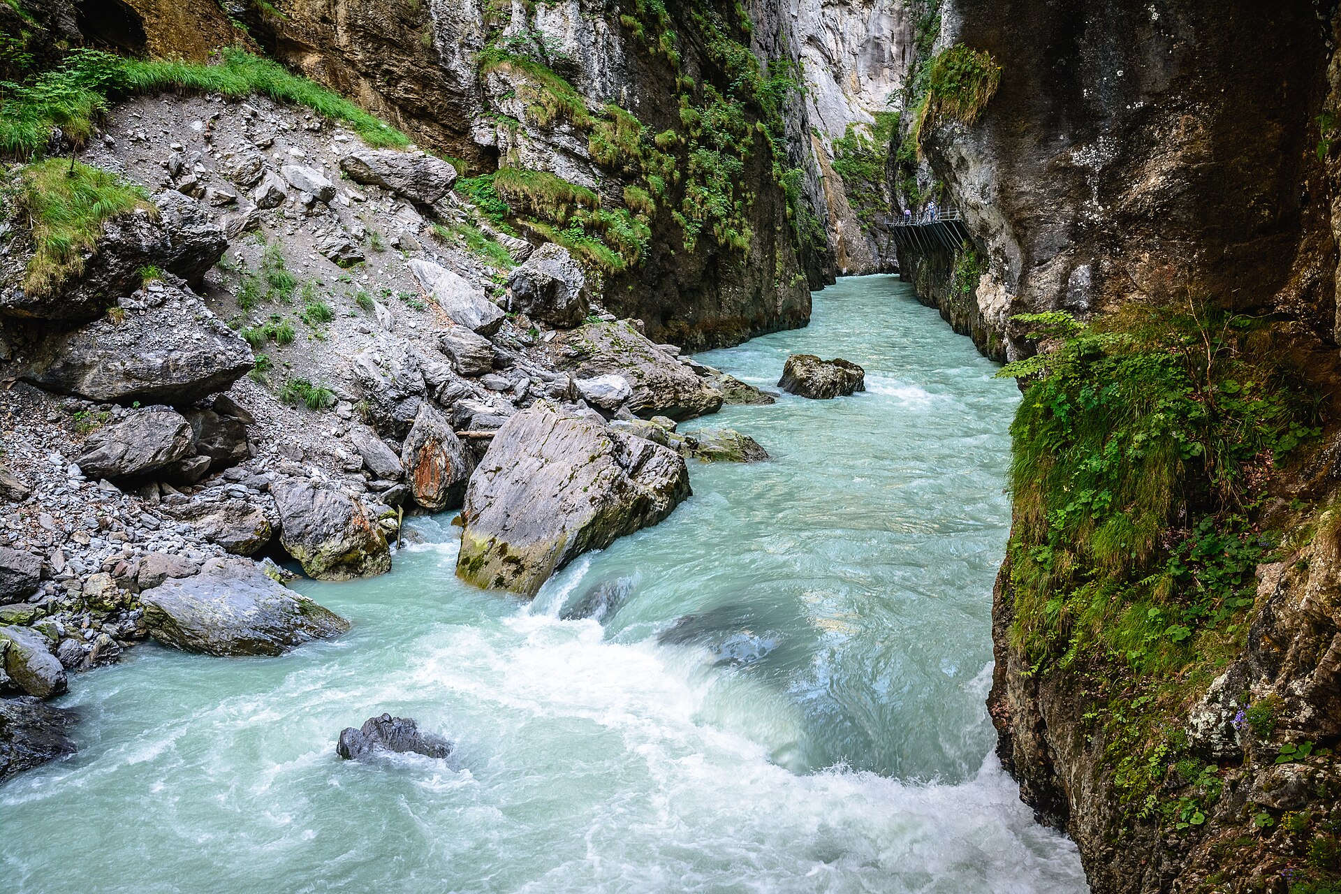
A narrow limestone gorge with a walkway cut into the cliff.