
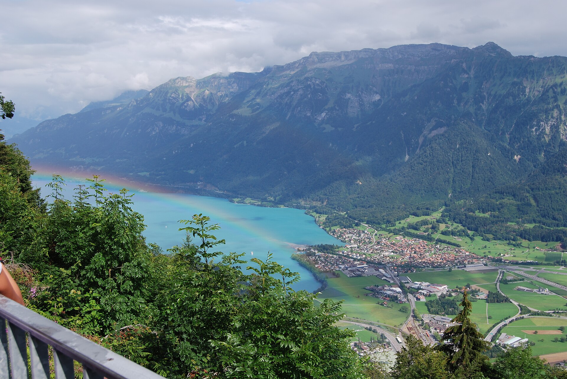
Hardergrat Ridge Traverse
The Hardergrat Ridge Traverse is an extremely demanding (SAC T4) 24 km alpine hike taking 8 to 10 hours from Harderkulm (Interlaken) across the razor-sharp ridge to the Brienzer Rothorn. It requires exceptional stamina, absolute sure-footedness, and complete absence of vertigo. Often dubbed the most photogenic knife-edge ridge in the world, the Hardergrat towers dramatically between the turquoise waters of Lake Brienz and the towering Bernese Alps. This is not a casual walking route; it is a serious alpine endurance test across steep, unpaved limestone and grass slopes with sheer drop-offs on both sides.
- Distance
- 24 km
- Duration
- 10 h
- Ascent
- 2'200 m
- Difficulty
- Hard
At a glance
5/5
5/5
2/5
Jul – Sep
Safety warning
No bail-out and water hazard. Once on the ridge between Augstmatthorn and the Brienzer Rothorn there are virtually no safe escape routes down the steep grassy cliffs. Carry at least 3.5 to 4 litres of water per person, and never attempt the traverse in the wet: wet grass makes this ridge lethally slippery.
Route
The route, step by step
- 1
Harderkulm Summit Start
Board the early morning funicular from Interlaken to Harderkulm (1,322m) and begin hiking east along the forested ridge.
- 2
Augstmatthorn Ascent
Climb past Suggitenatt to reach Augstmatthorn (2,137m), famous for wild ibex colonies grazing along the cliffs.
- 3
The Razor-Sharp Sektion
Traverse the narrow exposed ridge past Rothorn and Glogghüs with vertigo-inducing drops to Lake Brienz below.
- 4
Brienzer Rothorn Finish
Conclude the grueling climb at Brienzer Rothorn summit (2,348m) and catch the historic steam cogwheel train down to Brienz.
Elevation profile
Choose your version
Short
Interlaken Harderkulm to Augstmatthorn peak and return (14 km, ~6h).
Classic
Full traverse from Harderkulm all the way to Brienzer Rothorn (24 km, ~9h).
Extended
Start down in Interlaken village instead of taking the Harderbahn funicular (+450m ascent).
Plan your day
Getting there & logistics
- Start
- Take the train to Interlaken Ost, walk 5 minutes to the Harderbahn funicular station, and ride up to the trailhead. Return from Brienzer Rothorn via the historic steam railway down to Brienz, then connect by SBB train.
- Finish
- Finish at the Brienzer Rothorn and descend by the steam cog railway or cable car to Brienz, then take the SBB train back to Interlaken.
- Parking
- Park at Interlaken Ost station parking lots, take the train back from Brienz at the end of the day. Paid parking at Interlaken Ost station.
Before you leave, check
- Check stable weather forecasts obsessively—never attempt in wet conditions, fog, or thunderstorm risk.
- Catch the very first Harderbahn funicular in the morning to ensure sufficient daylight hours (8-10h hike).
- Pack a minimum of 3 liters of water and electrolyte tablets; there are zero water refill sources along the ridge.
- Book your Brienzer Rothorn steam train ticket in advance or verify the last afternoon departure time down to Brienz.
What this day costs
- Harderbahn Funicular (Interlaken to Harderkulm): ~CHF 42.00 one way.
- Brienzer Rothorn Steam Railway Descent (Rothorn Kulm to Brienz): ~CHF 59.00 (50% discount with Half Fare / Swiss Pass).
- Food/Hydration: Pack your own energy food and high-calorie snacks for the full day.
Plan B if the weather turns
If weather turns or fog rolls in during the hike, bail out via marked emergency escape paths descending north toward Habkern.
Good to know
- Rainy day
- Avoid completely if rain is forecast; the steep grass slopes become dangerously slick and treacherous.
- With kids
- Strictly prohibited for children or inexperienced hikers due to extreme exposure.
- Dogs
- Not recommended unless highly experienced with alpine scrambling and narrow ridges.
Stay & rest
Rest options & mountain huts
Harder Kulm (1'322 m)
Restaurant at the start of the ridge, perfect for an early espresso before hitting the trail.
Berghaus Lombachalp (1'560 m)
Located below the Augstmatthorn and only reachable if you take the emergency bail-out down the southern flank.
Hotel Brienzer Rothorn (2'350 m)
At the finish line, with full Swiss meals and hotel rooms to rest in before descending to Brienz.
Where to stay
Budget – Balmers Hostel (from CHF 40)
Lively backpacker hostel in Interlaken with dorm beds from around CHF 40 per night, ideal for an early pre-hike start.
Mid-range – Hotel Bellevue Interlaken (from CHF 160)
Historic hotel near the train station, a comfortable mid-range base from around CHF 160 per night.
Upper tier – Victoria-Jungfrau Grand Hotel (from CHF 550)
Five-star classic overlooking the Jungfrau for a luxury recovery stay, from around CHF 550 per night.
We may earn a commission from bookings made through this link.
Gear
Essential trail gear
- Trail-running shoes with deep lug depth: aggressive rubber tread is essential for gripping dry and wet grass slopes.
- Water bladder plus hydration salts: minimum 3.5 litre capacity, since there is nowhere to refill on the ridge.
- Trekking poles: indispensable for balance along the steep, grassy side-hills.
- Emergency bivy bag: carry one in case you are forced to shelter overnight on the ridge.
Background
The story
Formed by intense tectonic folding in the Helvetic nappes, the Hardergrat forms a massive natural limestone wall stretching over 25 kilometers. Because the south face drops away in precipitous cliffs while the north face consists of perilously steep, slippery grass slopes, the traverse demands unyielding concentration from start to finish.
Taste it
Celebrate finishing the mammoth traverse at the historic Rothorn Kulm mountaintop restaurant with a hearty bowl of Swiss goulash soup or a local beer overlooking the steam train tracks.
Route notes
Treat the Hardergrat as an expedition rather than a day walk. Commit to it only with a stable, dry forecast and start early enough to clear the exposed central section well before afternoon thunderstorms build over the Oberland. Pace yourself steadily over the many undulations between Harder Kulm, the Augstmatthorn and the Brienzer Rothorn, keep hydrating from your full 3.5 to 4 litre supply, and be honest about turning back before the ridge, since there is no safe escape once committed. Finishing at the Brienzer Rothorn, with the steam railway waiting below, makes the long effort worthwhile.
Nearby hikes
- Hardergrat Ridge Traverse: Harder Kulm to Augstmatthorn – Interlaken / Lake Brienz, BE
- Trift Bridge & Glacier Suspension Trail – Gadmen Valley / Haslital, BE
- Hohtürli Pass & Blüemlisalp High Trail – Bernese Oberland / Kandersteg, BE
Where to stay nearby
- Altstadt Boutique, Bern – Bern, BE
Experiences near this hike
We may earn a commission from bookings made through this link.
 Sponsoredfrom CHF 199Sponsoredfrom CHF 89Sponsoredfrom CHF 99
More things to do nearby
We may earn a commission from bookings made through this link.
Browse experiences on GetYourGuideDid you know?
You might also like
 Featured
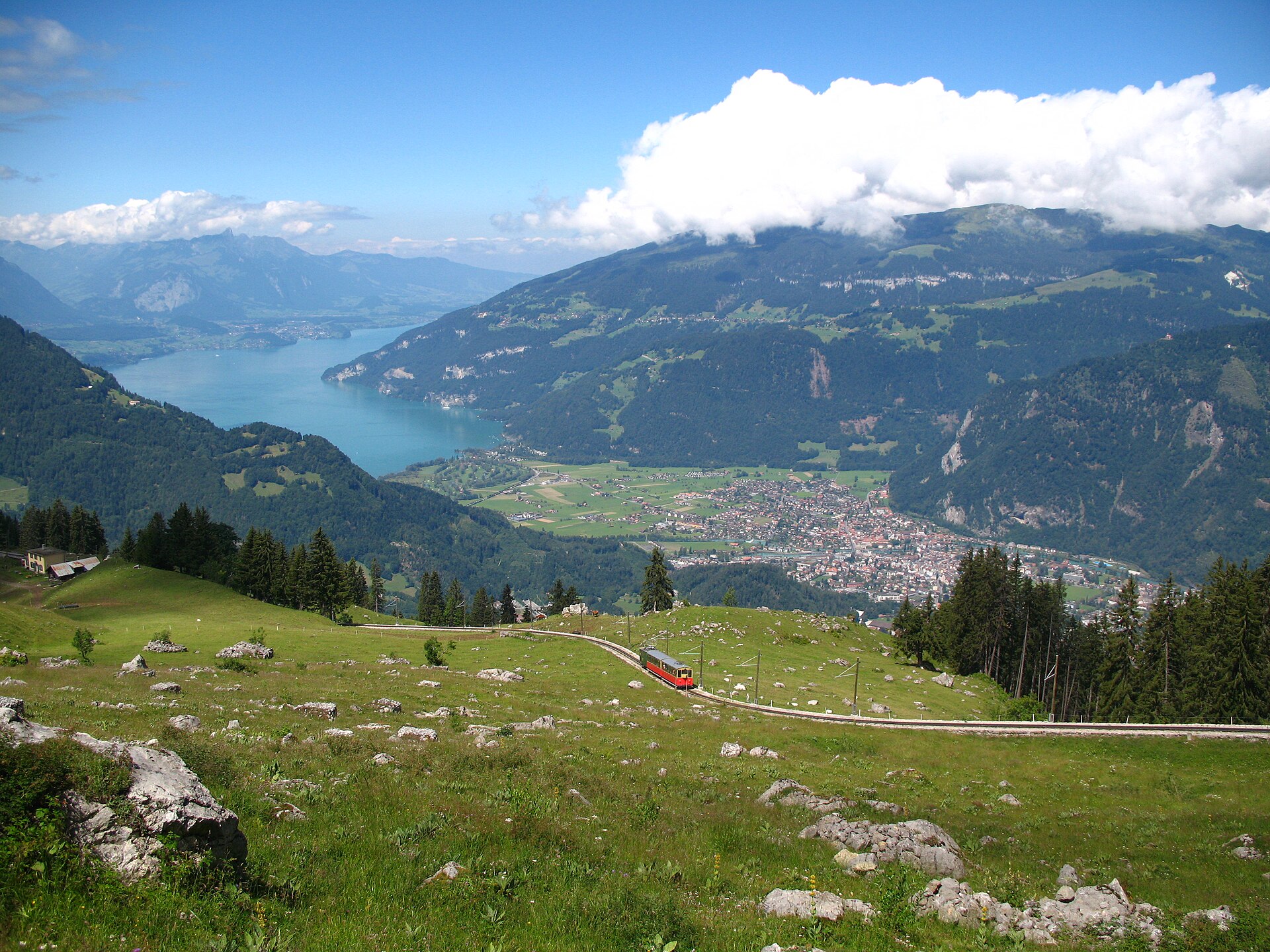
Schynige Platte Panorama Trail
A short, easy 5 km ridge loop reached by a wooden cogwheel train, facing the Eiger, Mönch and Jungfrau.
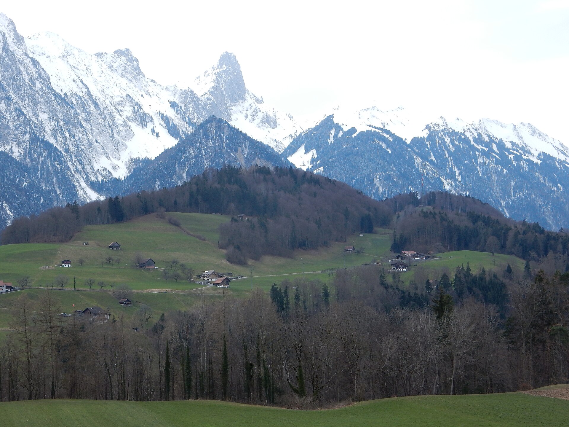
Stockhorn Summit and Oberstockensee
An 8 km walk along a limestone summit ridge above Lake Thun, down to the quiet Oberstockensee.
 Featured
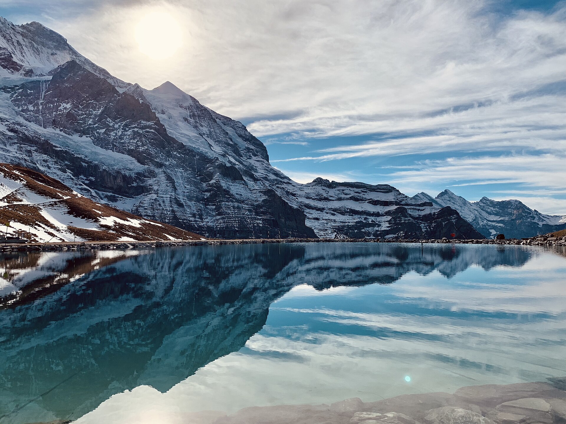
Eiger Trail: Eigergletscher to Alpiglen
A world-famous alpine traverse running directly along the base of the iconic Eiger North Face (Nordwand). Starting at the Eigergletscher station (2,320 m), the downhill trail tracks beneath the staggering 1,800-meter sheer limestone wall where legendary mountaineering history was written. The route offers unobstructed views over the Grindelwald valley, the Grosse Scheidegg pass, and the jagged Wetterhorn and Schreckhorn peaks.
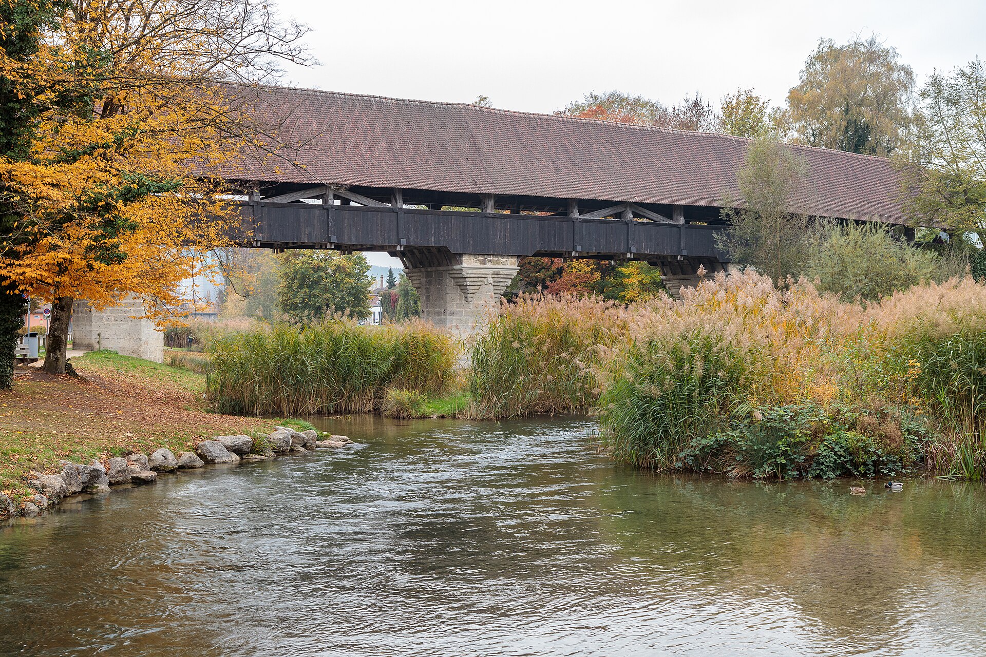
Aarberg and the Aare Canal
A town on an island with a covered wooden bridge, and a canal path through farmland.
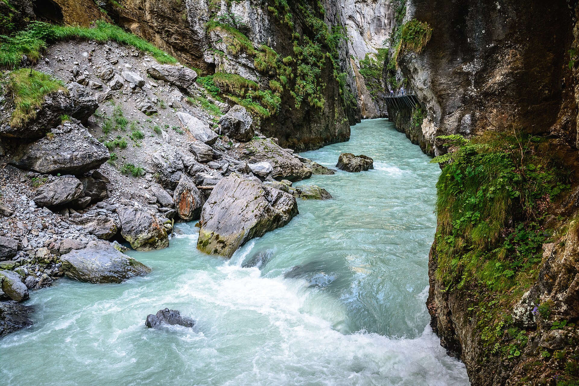
Aare Gorge and Meiringen
A narrow limestone gorge with a walkway cut into the cliff.
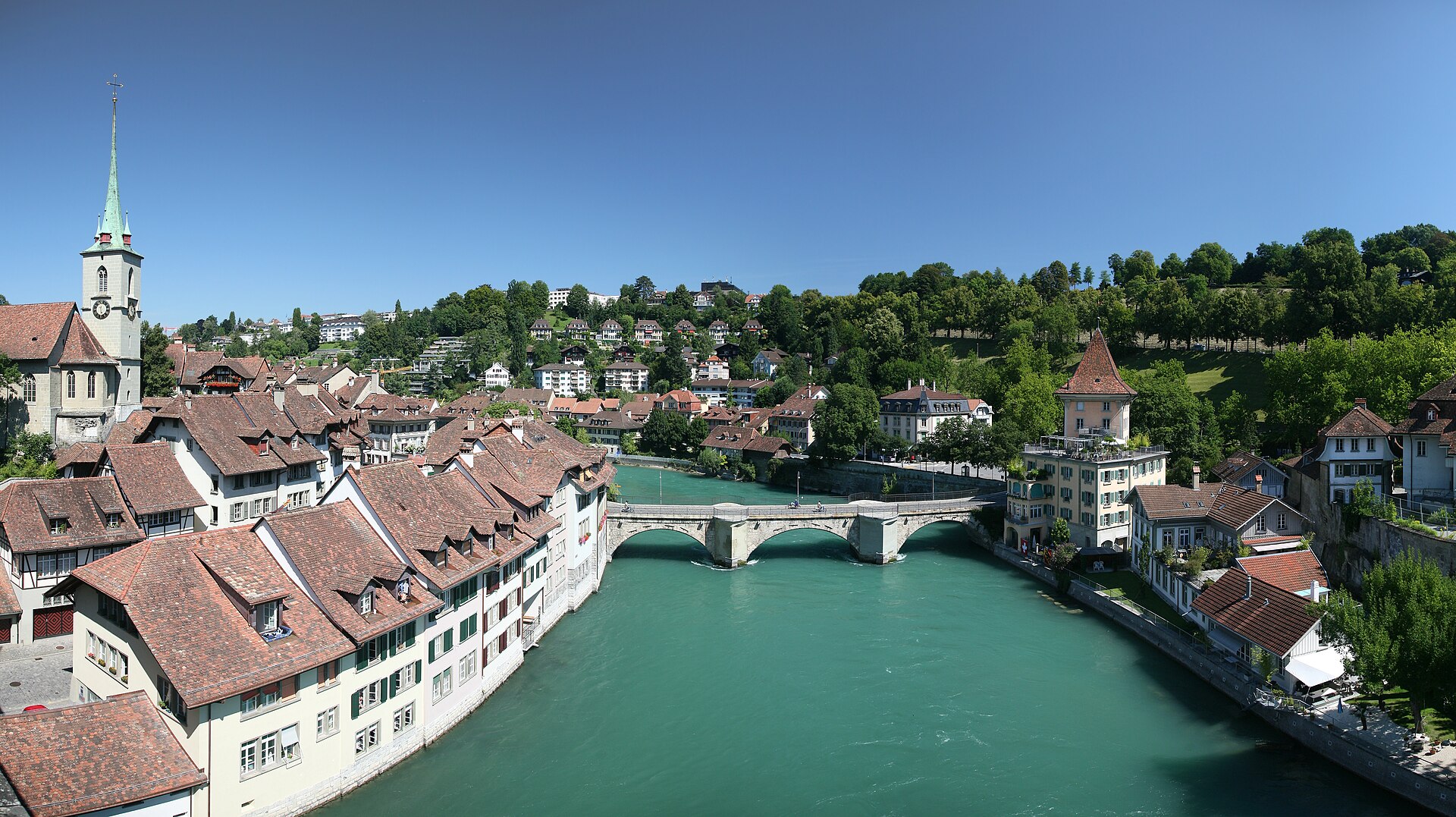
Aare River Walk in Bern, Marzili to Eichholz
A river walk through the capital, with a swim stop if you dare.