
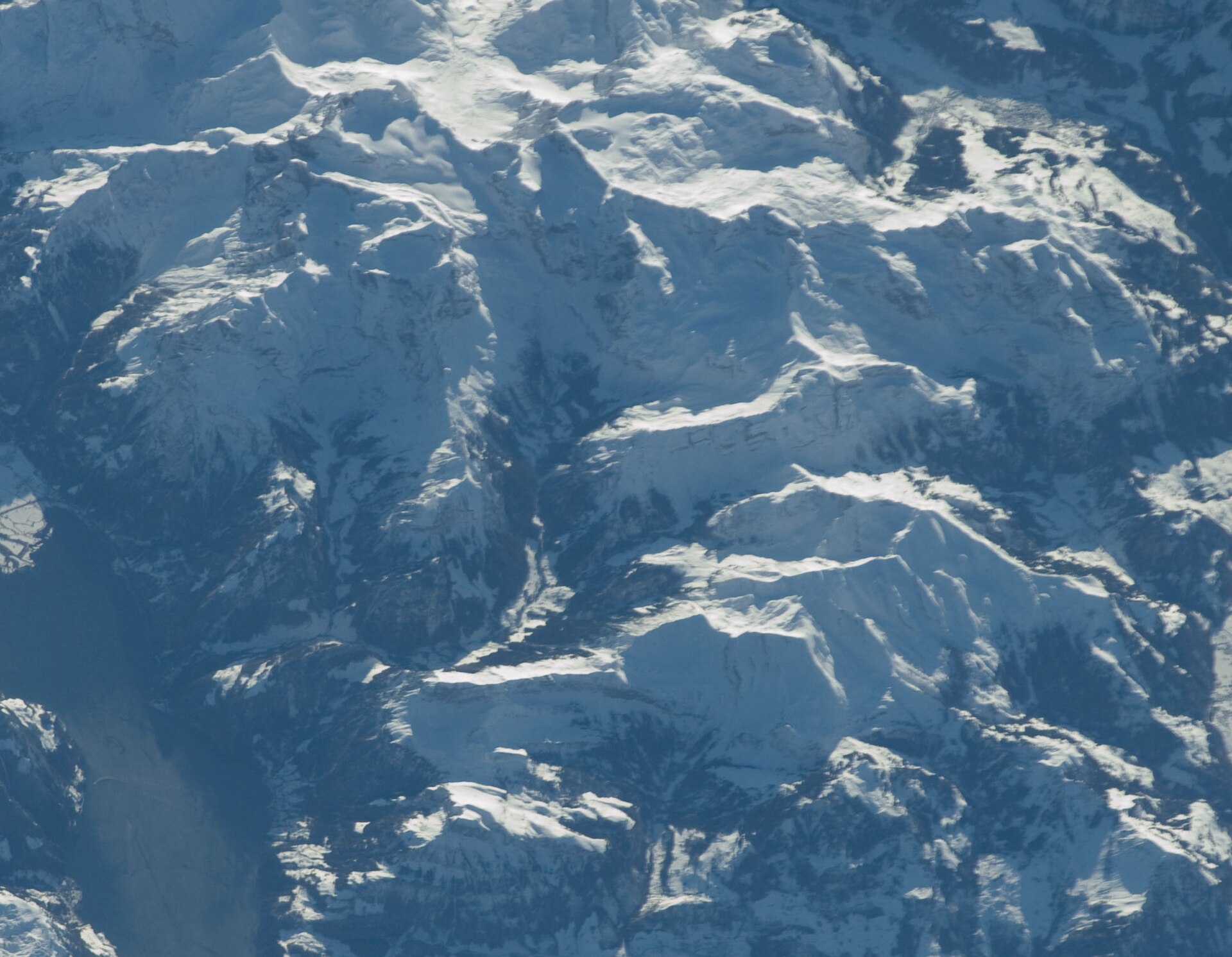
Brisen above Niederrickenbach
The Brisen is a limestone summit above Beckenried and Engelberg, with a view over Lake Lucerne and the Alps. The approach begins in the pilgrimage village of Niederrickenbach, reached by a cable car, and climbs through pasture and rock to the ridge. The path is steep and rocky in the upper part, and the final section needs sure feet. It is a good test for fit walkers and a good alternative to the busier Pilatus and Rigi. SAC T2: T2 Mountain hiking: steep in places, sure feet needed
- Distance
- 8 km
- Duration
- 5 h
- Ascent
- 1'100 m
- Difficulty
- Moderate
At a glance
4/5
4/5
3/5
Jul – Oct
Route
The route, step by step
- 1
Cable car to Niederrickenbach
Ride up from Dallenwil.
- 2
Pasture climb
A steady path climbs through alpine pasture.
- 3
Rocky ridge
The path steepens on rocky terrain.
- 4
Summit
Reach the cross and return by the same route.
Elevation profile
Choose your version
Short
Walk to the Brisenhaus and return, about 3 hours.
Classic
Walk to the summit and back, about 5 hours.
Extended
Stay overnight at the inn and add a morning walk.
Plan your day
Getting there & logistics
- Start
- Take the train to Dallenwil from Lucerne (about 30 minutes), then the cable car to Niederrickenbach. Check the timetable and the last descent.
- Finish
- Drive from Lucerne to Dallenwil, about 25 minutes.
- Parking
- A paid car park at the Dallenwil cable car station.
Before you leave, check
- Is the lift, boat or railway running today, and when is the last one down?
- Forecast for morning and afternoon (MeteoSwiss), and any storm warnings.
- Trail status: snow, rockfall or closures (local tourist office or lift operator).
- Last public transport home, and your plan if you miss it.
- Hut or restaurant opening days, and whether you need a reservation.
What this day costs
- Mountain lift, cable car or cogwheel train: usually the biggest cost of the day. Ask for the return fare and check pass discounts.
- Train and PostBus fares to the start and home from the end. A Half Fare Card halves most of these.
- Parking, if you drive: day rates vary by place and season, and some car parks fill early.
- Food and drink: mountain restaurants cost noticeably more than the valley. A picnic cuts the day cost sharply.
- Entry fees where they apply, for example caves, gorges or lakeside facilities.
Plan B if the weather turns
Visit Stans or the Lucerne old town.
Good to know
- Rainy day
- Visit Stans or the Lucerne old town.
- With kids
- Suitable for older children with hiking experience.
- Dogs
- Allowed on lead. Cattle on the lower pastures.
Stay & rest
Rest options & mountain huts
Niederrickenbach inns
Simple inns in the pilgrimage village.
Brisenhaus
A mountain inn on the route.
Dallenwil cafes
A few places at the valley station.
Where to stay
Budget – Youth Hostel Luzern
A modern hostel with lake views.
Mid-range – Hotel Wilden Mann
A characterful hotel.
Upscale – Hotel Schweizerhof Luzern
A five-star hotel on the lakefront.
We may earn a commission from bookings made through this link.
Gear
Essential trail gear
For this hike
- Sturdy boots
- Warm layers
- Sun cream
- Poles
- Water and snacks
Always
- Sturdy hiking shoes with real tread (trainers only on the flattest routes)
- Water, at least 1 to 1.5 litres per person, more in summer
- Rain shell and one warm layer, even on a sunny morning
- Sun cream, hat and sunglasses (UV rises about 10% per 1,000 m)
- Snacks or a picnic and some cash in coins and small notes
- Phone with offline map (SwissTopo or Komoot), power bank, ID
- Small first-aid kit: plasters, blister tape, painkillers
Background
The story
Niederrickenbach has been a pilgrimage place since the 17th century, and its chapel is dedicated to Our Lady.
Taste it
A Nidwalden cheese platter and a coffee at the Brisenhaus.
Route notes
The Brisen is a limestone summit above Beckenried and Engelberg, with a view over Lake Lucerne and the Alps. The approach begins in the pilgrimage village of Niederrickenbach, reached by a cable car, and climbs through pasture and rock to the ridge. The path is steep and rocky in the upper part, and the final section needs sure feet. It is a good test for fit walkers and a good alternative to the busier Pilatus and Rigi. SAC T2: T2 Mountain hiking: steep in places, sure feet needed
Nearby hikes
- Grosser Mythen via the Zigzag Path – Schwyz, NW
- Klewenalp Panorama above Lake Lucerne – Beckenried, NW
- Brienzer Rothorn Ridge Walk – Brienz, BE
More things to do nearby
We may earn a commission from bookings made through this link.
Browse experiences on GetYourGuideDid you know?
You might also like
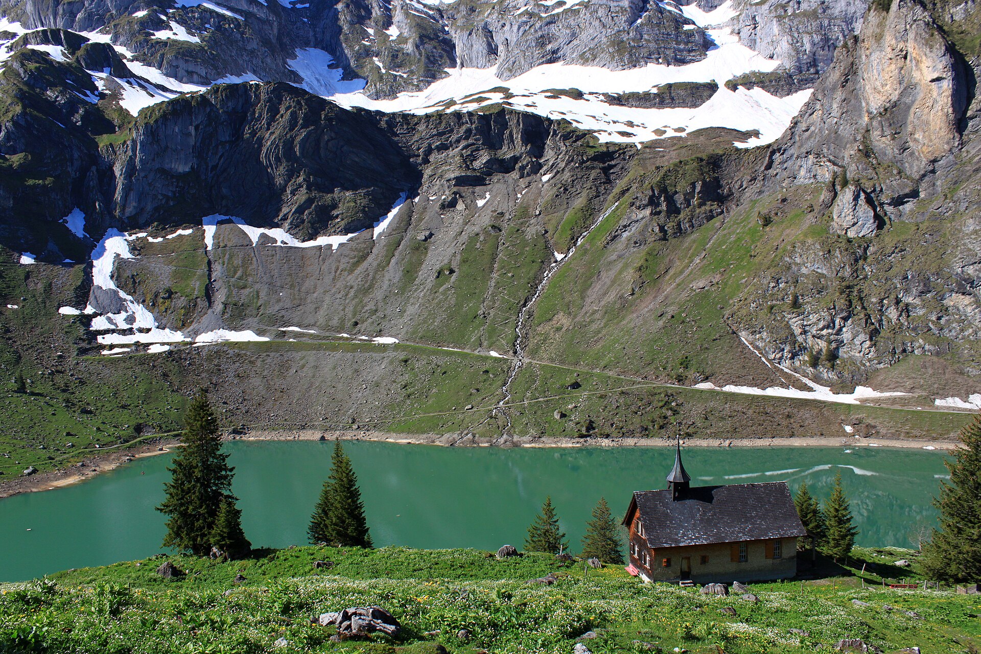
Bannalp Lake High Alpine Circuit
A breathtaking high-alpine reservoir circuit perched on a sun-drenched plateau high above the Wolfenschiessen valley in Nidwalden. Reached via a charming small aerial cable car from Oberrickenbach, Lake Bannalp (Bannalpsee) is surrounded by towering limestone peaks such as Chli Titlis and Ruchstock. The trail loops around the emerald-blue reservoir before climbing past traditional alpine cheese dairies and dramatic cliff balconies, offering pristine silence and spectacular Central Swiss panoramas.
Bannalpsee above Engelberg
A mountain lake reached by a cable car, with a loop path and a view of the Surenen peaks.
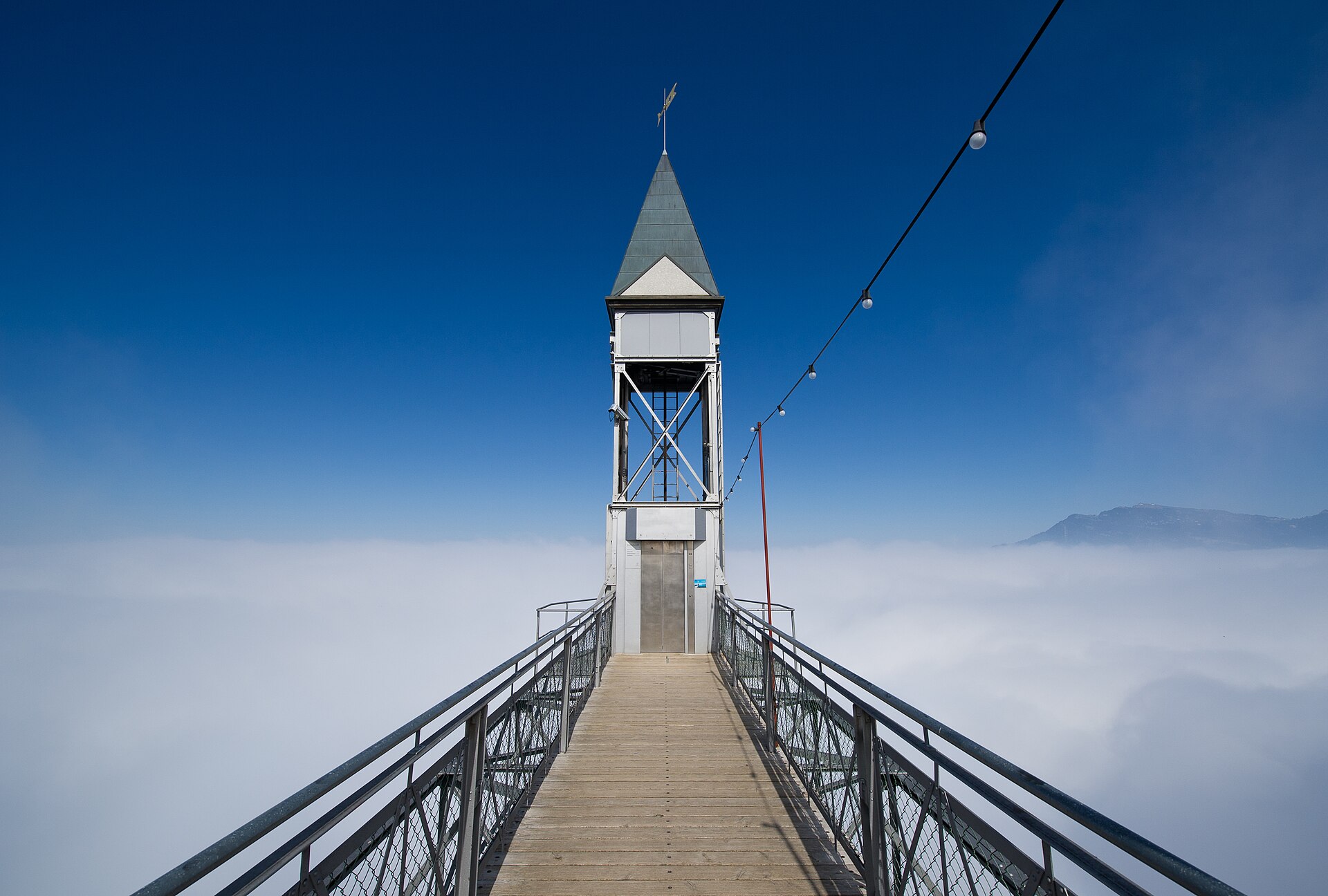
Bürgenstock Felsenweg and Hammetschwand Lift
A path blasted into the cliff, a lift that climbs 150 metres and the best viewpoint over Lake Lucerne.
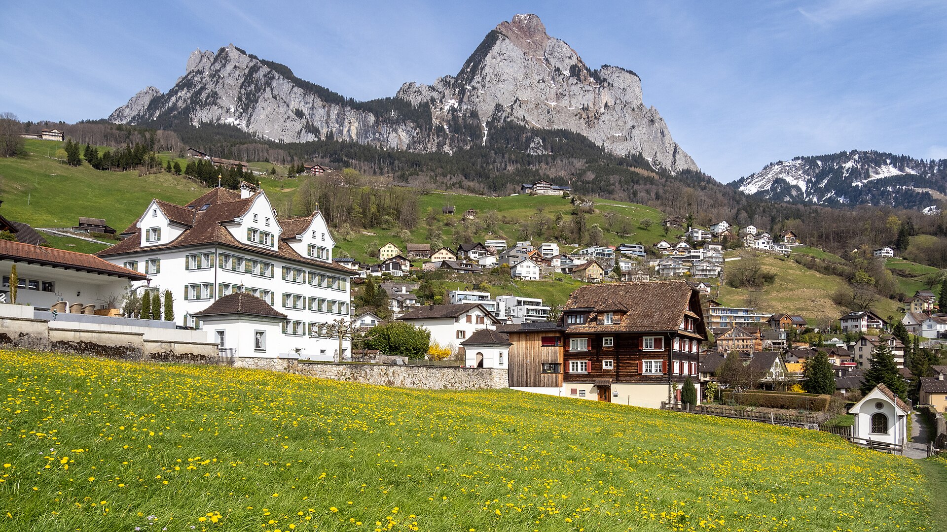
Grosser Mythen via the Zigzag Path
A steep zigzag path to a limestone summit with a lake view in every direction.
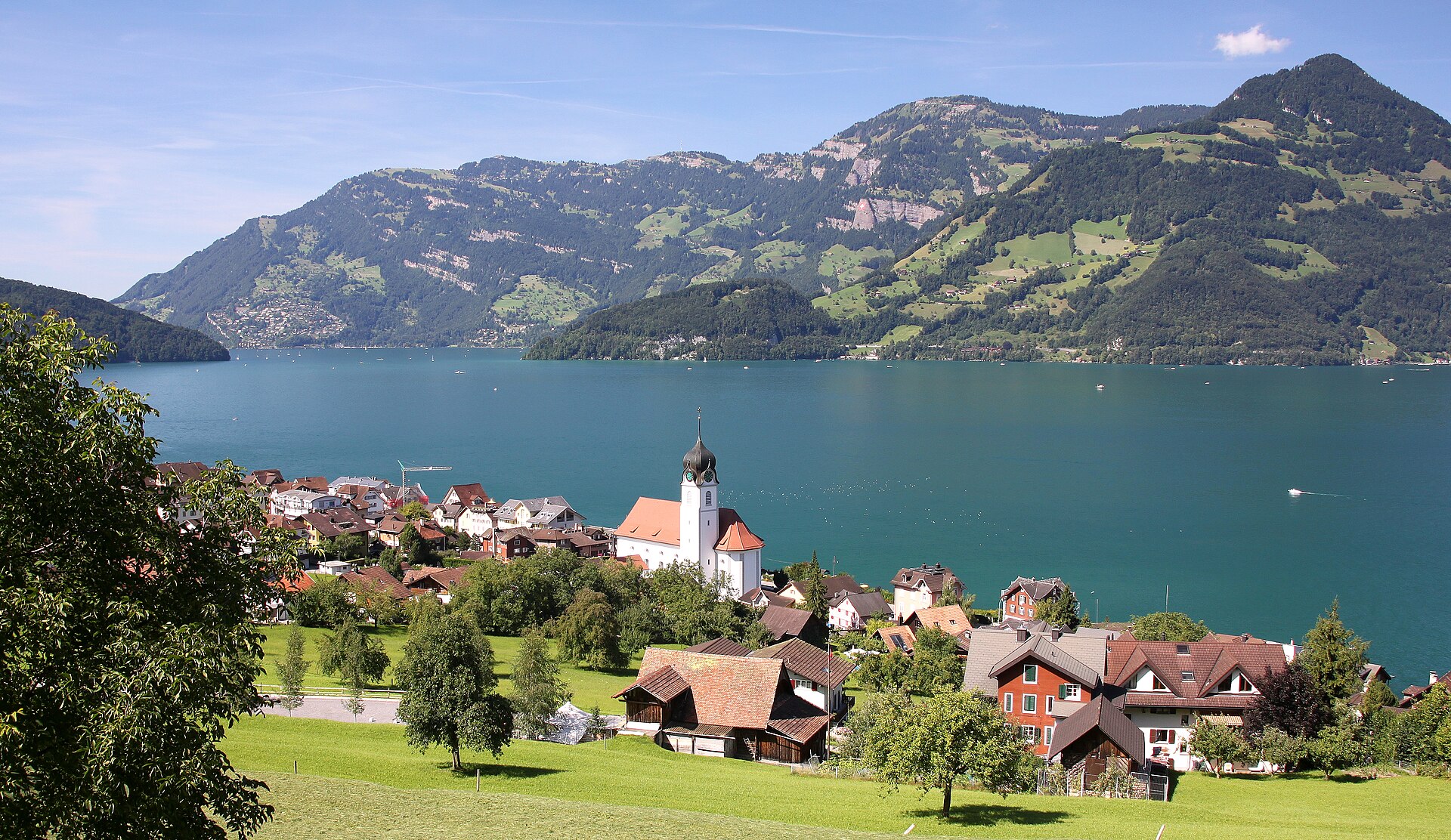
Klewenalp Panorama above Lake Lucerne
A cable car above the lake and a ridge with views over Lake Lucerne and the Rigi.
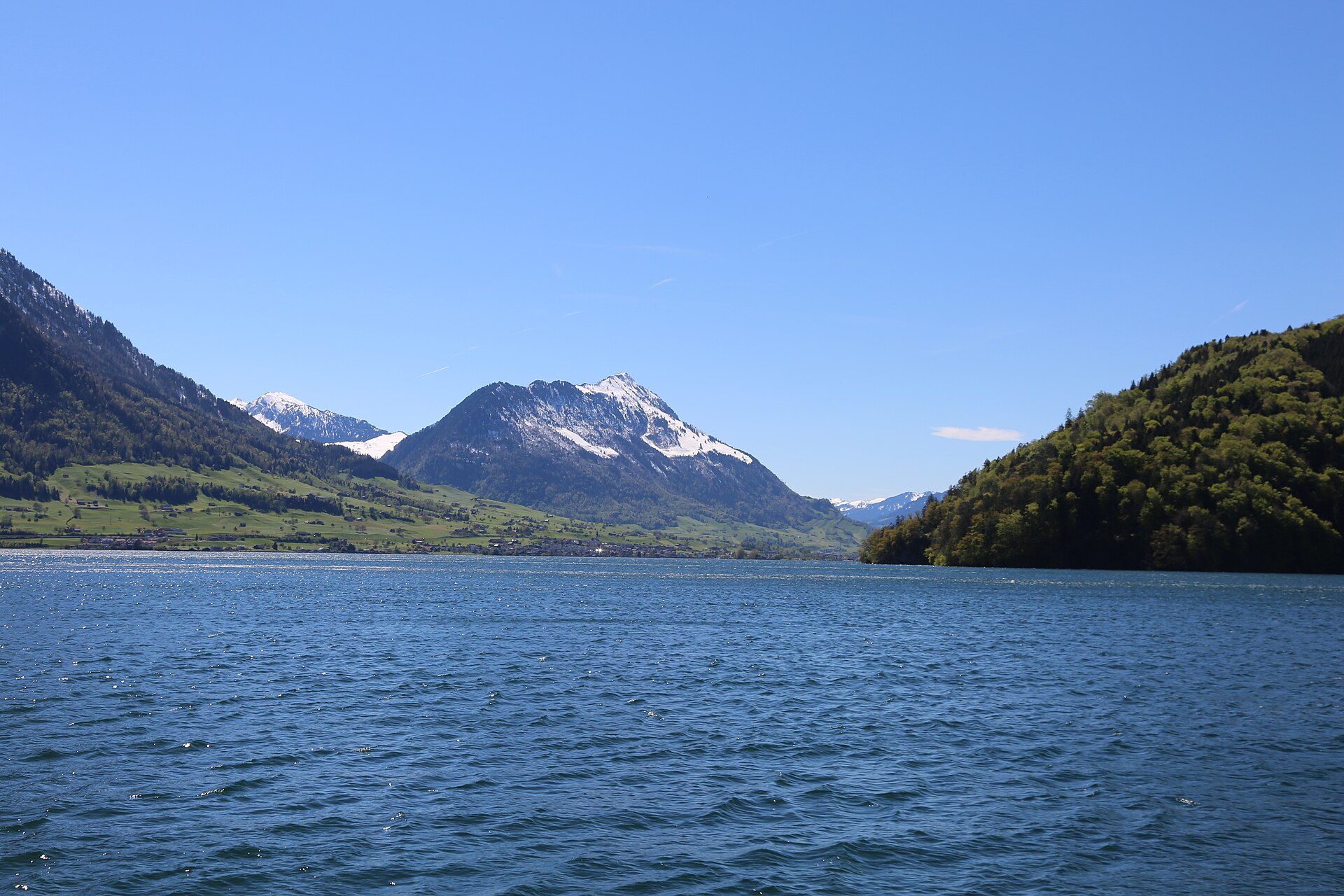
Stanserhorn Summit Walk
A short summit stroll on the Stanserhorn, reached by the open-top CabriO cable car, with Lake Lucerne and the Bernese Alps in view.