
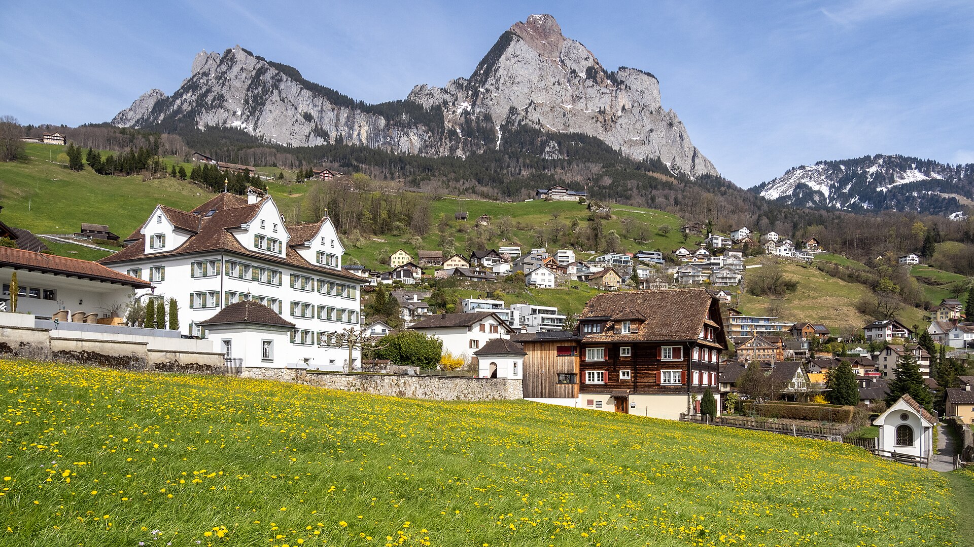
Grosser Mythen via the Zigzag Path
The Mythen are two limestone peaks above Schwyz that look like a pair of teeth. The Grosser Mythen can be climbed on a narrow, paved zigzag path that was built for the pilgrimage and for tourists, with a mountain restaurant on the top. The path is steep and exposed in places, with handrails on the narrowest sections. It is not technical, but it needs a calm head and good shoes. The view takes in Lake Lucerne, Lake Zurich and a huge arc of the Alps. SAC T2: T2 Mountain hiking: steep in places, sure feet needed
- Distance
- 7 km
- Duration
- 3.5 h
- Ascent
- 500 m
- Difficulty
- Moderate
At a glance
3/5
5/5
4/5
May – Oct
Route
The route, step by step
- 1
Holzegg
Start at the Holzegg stop, reached by bus from Schwyz.
- 2
Zigzag path
A well-built path climbs in tight bends to the ridge.
- 3
Summit
A mountain restaurant and a viewing platform.
- 4
Descent
Return by the same path or via the Zwüschet Mythen route.
Elevation profile
Plan your day
Getting there & logistics
- Start
- From Schwyz station take the PostBus to Holzegg (about 25 minutes, seasonal). Check the timetable and the last bus down.
- Finish
- Drive to Schwyz via the A4, about 45 minutes from Zurich, then up to Holzegg.
- Parking
- A small paid car park at Holzegg.
Before you leave, check
- Is the lift, boat or railway running today, and when is the last one down?
- Forecast for morning and afternoon (MeteoSwiss), and any storm warnings.
- Trail status: snow, rockfall or closures (local tourist office or lift operator).
- Last public transport home, and your plan if you miss it.
- Hut or restaurant opening days, and whether you need a reservation.
What this day costs
- Train and PostBus fares to the start and home from the end. A Half Fare Card halves most of these.
- Parking, if you drive: day rates vary by place and season, and some car parks fill early.
- Food and drink: mountain restaurants cost noticeably more than the valley. A picnic cuts the day cost sharply.
- Entry fees where they apply, for example caves, gorges or lakeside facilities.
Plan B if the weather turns
Visit the Forum of Swiss History in Schwyz.
Good to know
- Rainy day
- Visit the Forum of Swiss History in Schwyz.
- With kids
- Suitable for older children who are good with heights.
- Dogs
- Dogs should be on a short lead near drops.
Stay & rest
Rest options & mountain huts
Berggasthaus Mythen
A mountain inn at the summit.
Holzegg restaurant
A simple stop at the start.
Schwyz restaurants
A choice of places in the village.
Where to stay
Budget – Youth Hostel Luzern
A modern hostel, about 40 minutes away.
Mid-range – Hotel Wysses Rössli
A historic hotel in the old village.
Upscale – Hotel Schweizerhof Luzern
A five-star hotel on the lakefront.
We may earn a commission from bookings made through this link.
Gear
Essential trail gear
For this hike
- Sturdy shoes with grip
- Wind jacket
- Sun cream
- Poles
- Water and snacks
Always
- Sturdy hiking shoes with real tread (trainers only on the flattest routes)
- Water, at least 1 to 1.5 litres per person, more in summer
- Rain shell and one warm layer, even on a sunny morning
- Sun cream, hat and sunglasses (UV rises about 10% per 1,000 m)
- Snacks or a picnic and some cash in coins and small notes
- Phone with offline map (SwissTopo or Komoot), power bank, ID
- Small first-aid kit: plasters, blister tape, painkillers
Background
Route notes
The Mythen are two limestone peaks above Schwyz that look like a pair of teeth. The Grosser Mythen can be climbed on a narrow, paved zigzag path that was built for the pilgrimage and for tourists, with a mountain restaurant on the top. The path is steep and exposed in places, with handrails on the narrowest sections. It is not technical, but it needs a calm head and good shoes. The view takes in Lake Lucerne, Lake Zurich and a huge arc of the Alps. SAC T2: T2 Mountain hiking: steep in places, sure feet needed
Nearby hikes
- Grosser Mythen Direct Route – Schwyz, SZ
- Brisen above Niederrickenbach – Niederrickenbach, NW
- Alpthal to Mythen Region Circuit – Schwyz Alps, SZ
More things to do nearby
We may earn a commission from bookings made through this link.
Browse experiences on GetYourGuideDid you know?
You might also like
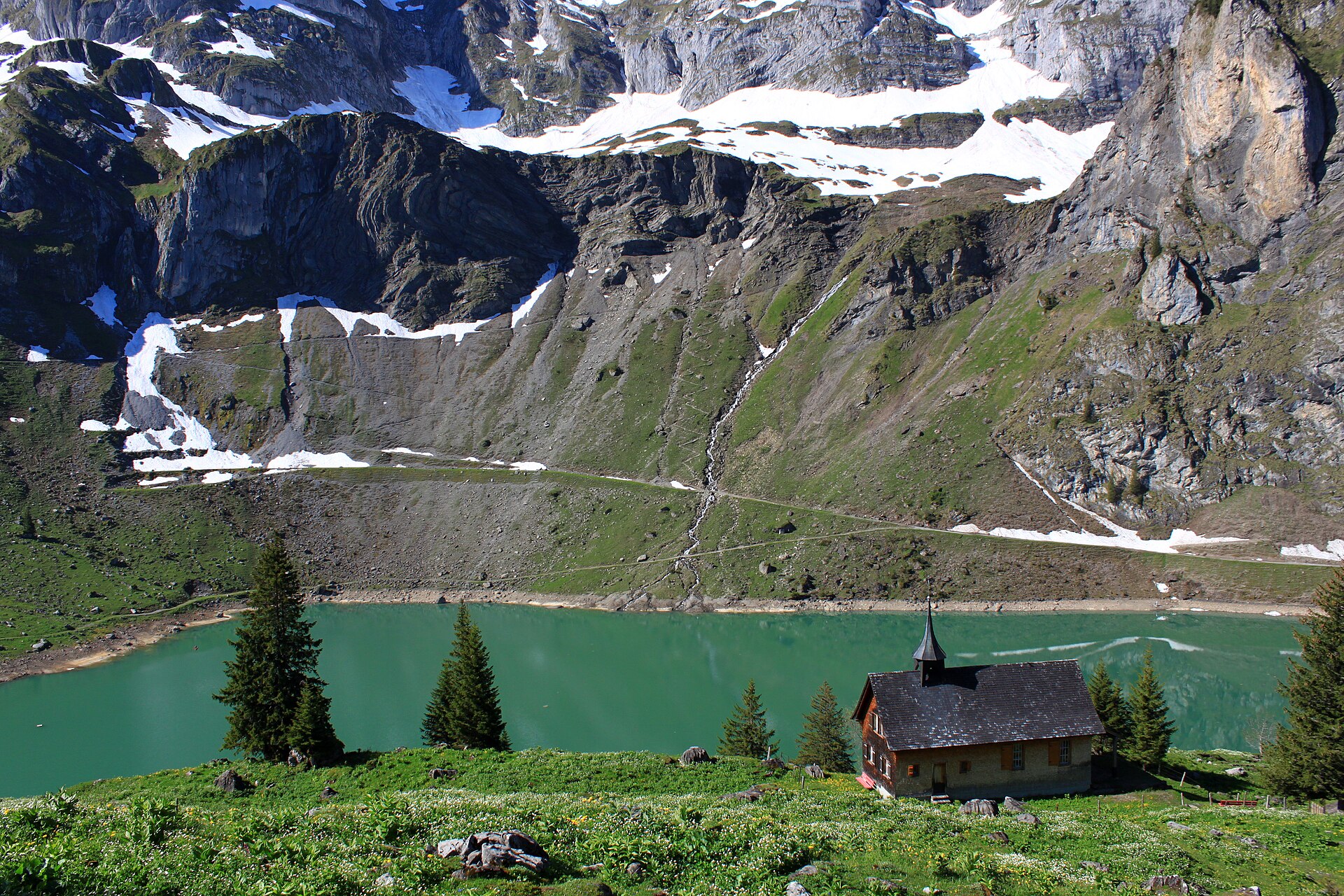
Bannalp Lake High Alpine Circuit
A breathtaking high-alpine reservoir circuit perched on a sun-drenched plateau high above the Wolfenschiessen valley in Nidwalden. Reached via a charming small aerial cable car from Oberrickenbach, Lake Bannalp (Bannalpsee) is surrounded by towering limestone peaks such as Chli Titlis and Ruchstock. The trail loops around the emerald-blue reservoir before climbing past traditional alpine cheese dairies and dramatic cliff balconies, offering pristine silence and spectacular Central Swiss panoramas.
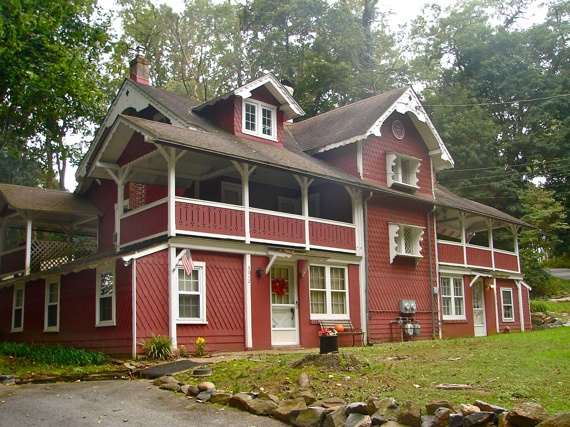
Bannalpsee above Engelberg
A mountain lake reached by a cable car, with a loop path and a view of the Surenen peaks.
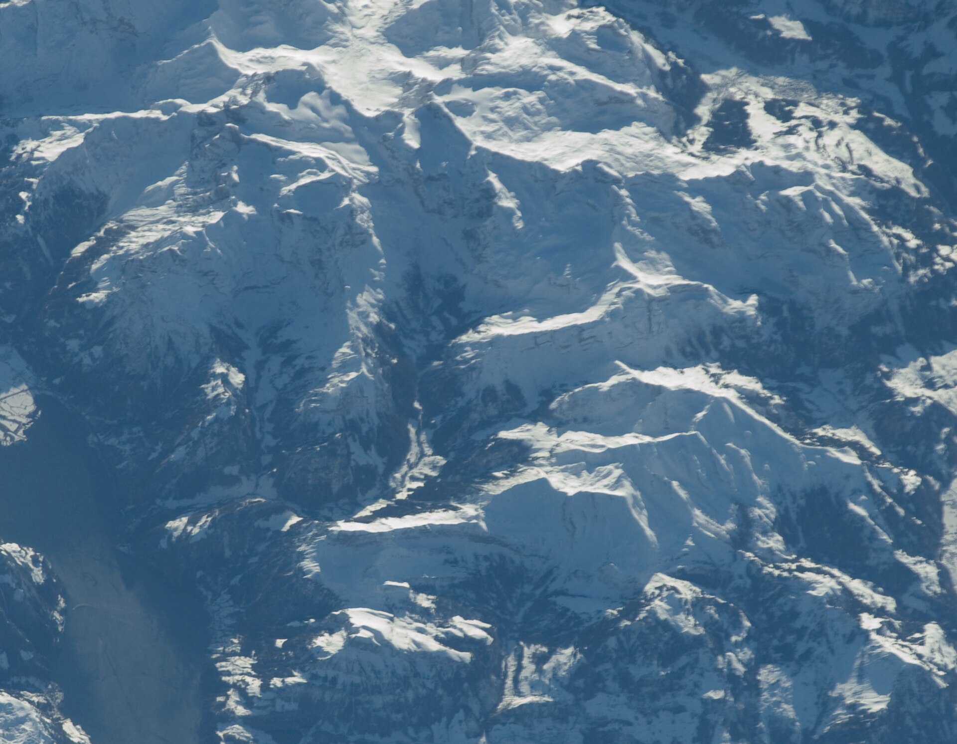
Brisen above Niederrickenbach
A rocky summit above Lake Lucerne, reached through a pilgrimage village.
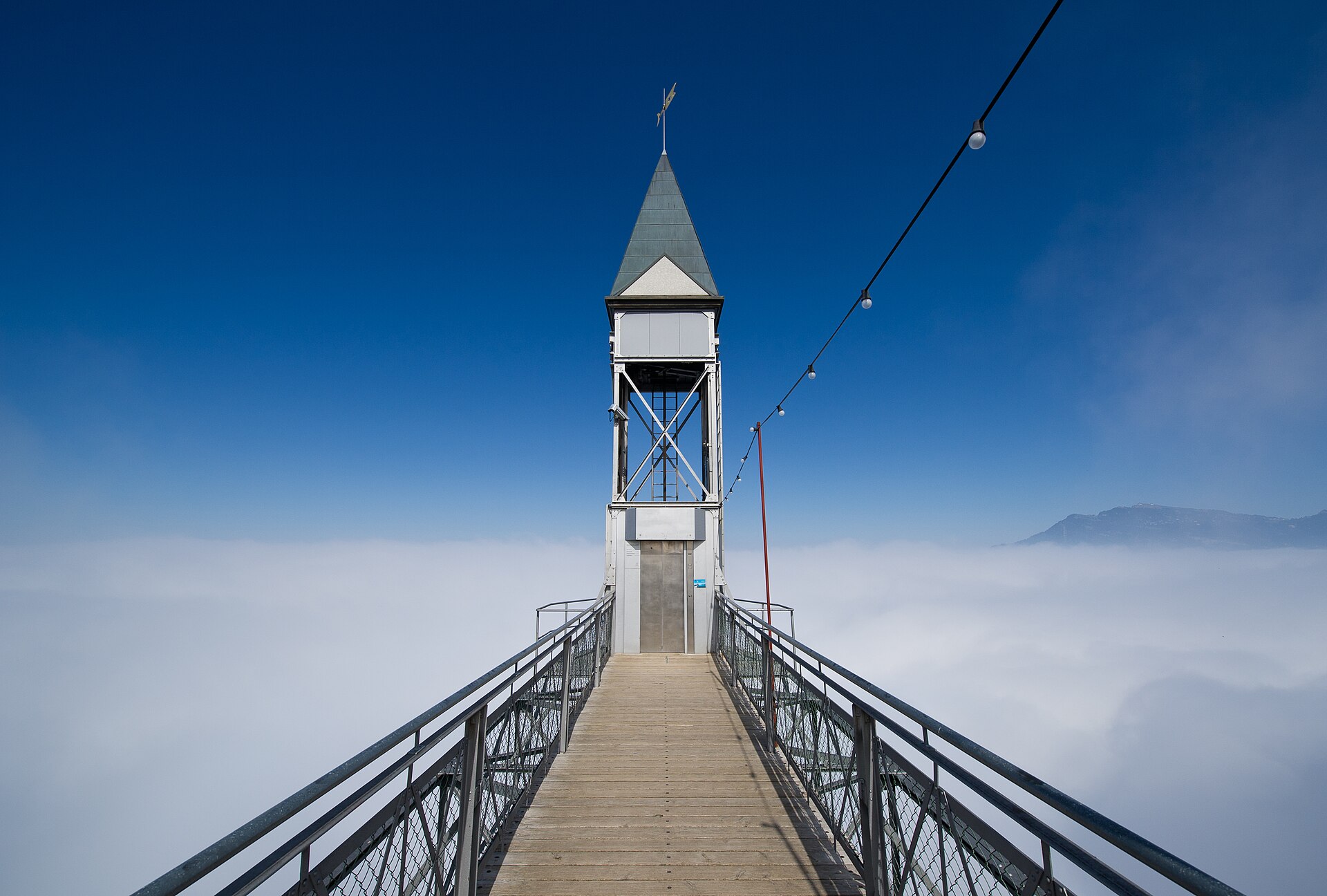
Bürgenstock Felsenweg and Hammetschwand Lift
A path blasted into the cliff, a lift that climbs 150 metres and the best viewpoint over Lake Lucerne.
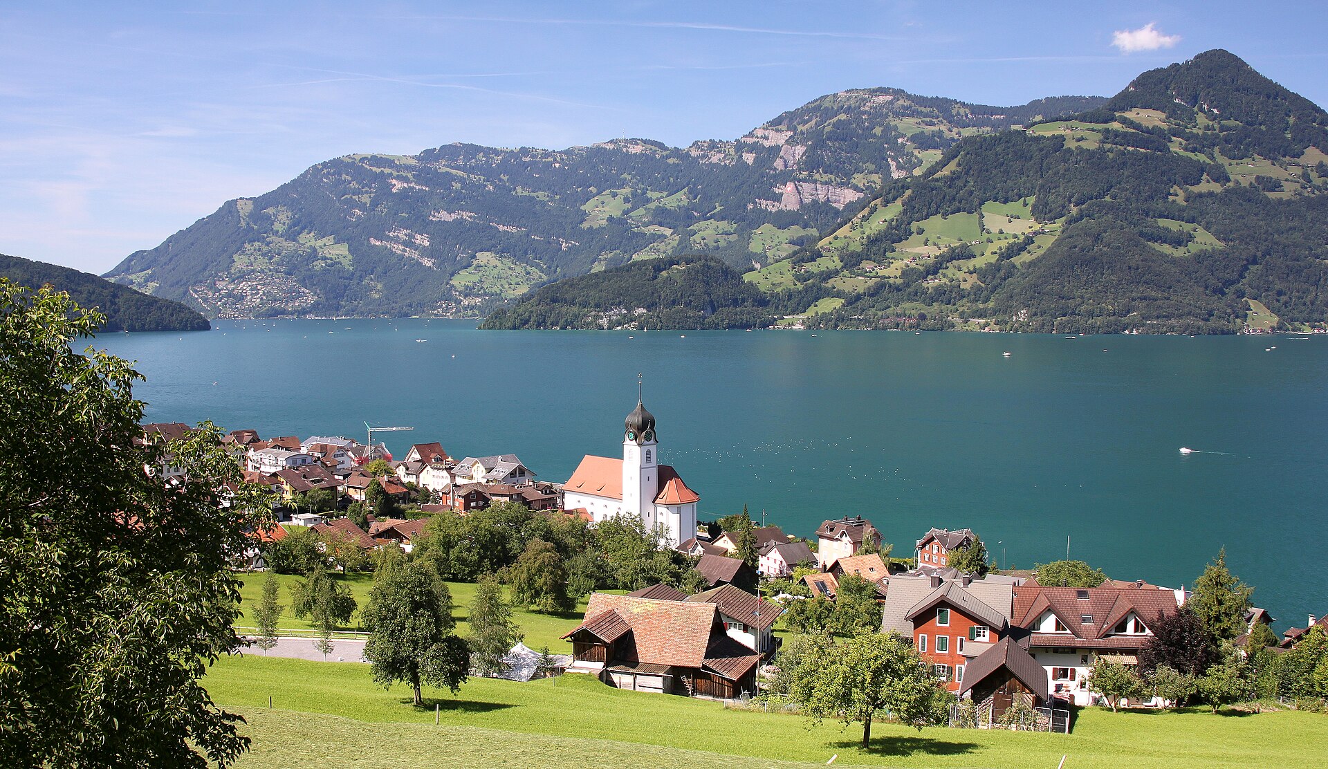
Klewenalp Panorama above Lake Lucerne
A cable car above the lake and a ridge with views over Lake Lucerne and the Rigi.
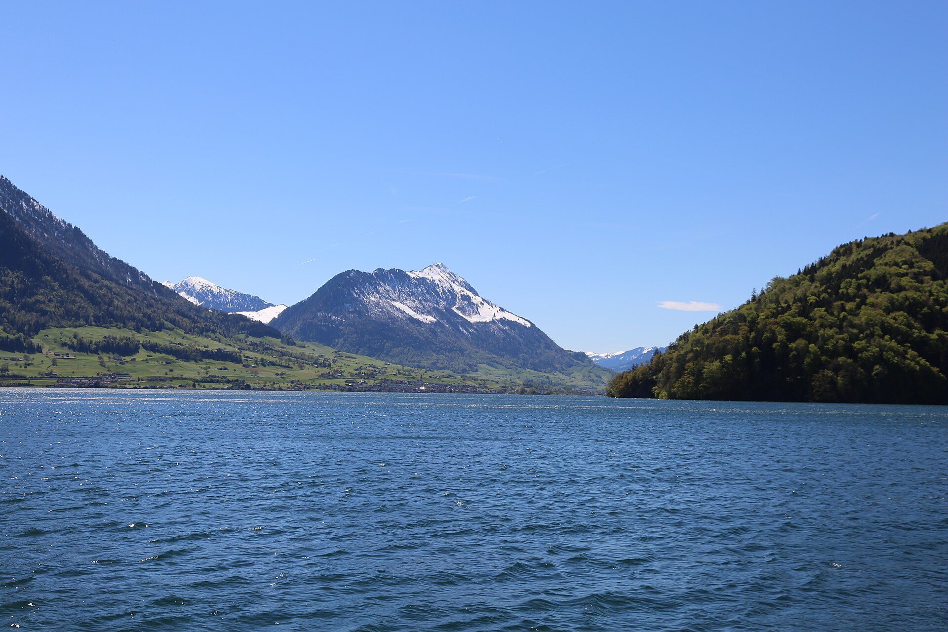
Stanserhorn Summit Walk
A short summit stroll on the Stanserhorn, reached by the open-top CabriO cable car, with Lake Lucerne and the Bernese Alps in view.