
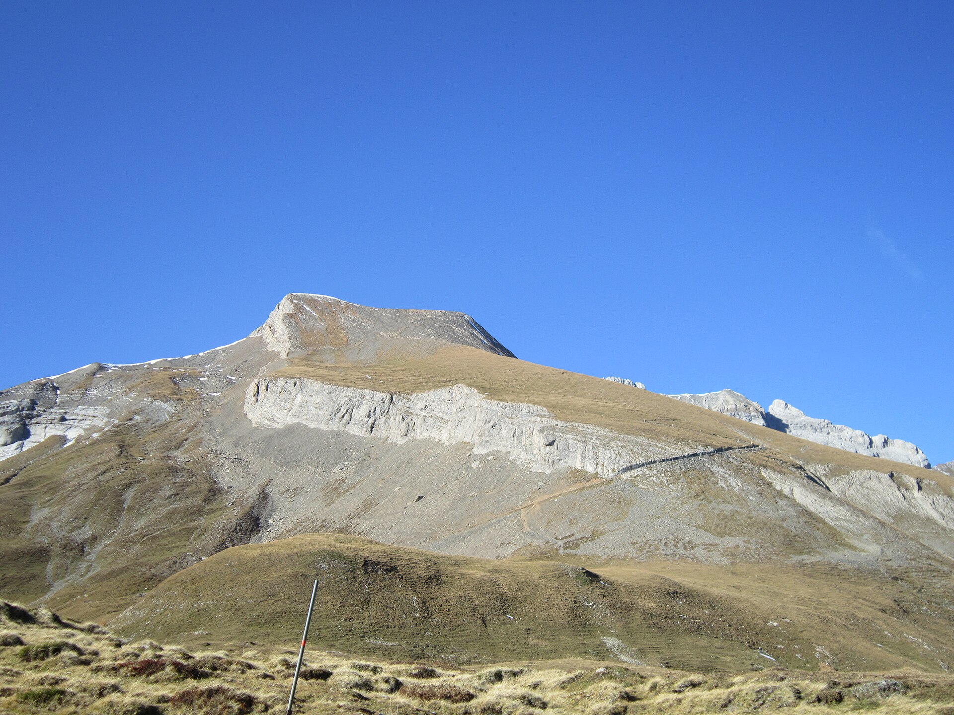
Calanda Ridge Ascent (Vättis to Haldenstein)
A legendary high-alpine ridge ascent traversing the iconic Calanda massif (Haldensteiner Calanda, 2,805 m) towering above the Rhine Valley and the historic city of Chur. Starting from Vättis in the Tamina Valley, the trail climbs steeply through pine forests, alpine scree, and limestone karst terraces to the Calandahütte SAC before reaching the summit cross. Hikers are rewarded with sweeping 360-degree vistas stretching across the Grisons Alps, Glarus Alps, and the Liechtenstein border mountains. ---
- Distance
- 15.2 km
- Difficulty
- Hard
Route
The route, step by step
- 1
Stage 1: Vättis Village to Calandahütte SAC
From Vättis village, follow the steep, signposted mountain trail climbing steadily through pine forest switchbacks and alpine pastures up to Calandahütte (2,073 m). (6.2 km, +1,110 m / -40 m)
- 2
Stage 2: Calandahütte to Calanda Summit
Ascend along the marked limestone scree trail and karst ridge leading directly to the summit cross at 2,805 meters. (2.5 km, +730 m / -10 m)
- 3
Stage 3: Ridge Descent to Haldenstein / Chur
Descend via the long southeast ridge path past Batänjer Alp down into Haldenstein and the Chur Rhine Valley floor. (6.5 km, +20 m / -1,800 m)
Plan your day
Getting there & logistics
- Start
- SBB train to Bad Ragaz or Chur, then take PostBus line 451 to "Vättis, Post". Return from Haldenstein via local city bus to Chur station.
- Finish
- Return via same route or loop connection
- Parking
- Drive via Bad Ragaz into the Tamina Valley to Vättis. Park at the municipal parking lot in Vättis (CHF 5.00/day).
Good to know
- Rainy day
- Check local weather forecasts and mountain railway operational schedules before departure.
Stay & rest
Rest options & mountain huts
Panoramic Picnic Spot
Calanda Summit Ridge Cairn — High-altitude limestone plateau with infinite panoramic vistas over the Rhine Valley.
Supermarket Prep
Coop or Migros Bad Ragaz before taking the PostBus into Vättis.
On-Trail Mountain Inn
**Calandahütte SAC Dining Room** — Serves traditional Grisons barley soup, alpine cheese plates, and warm fruit cakes.
Where to stay
Budget – Calandahütte SAC
High-altitude stone refuge perched at 2,073 m offering rustic dormitories and hearty half-board dining.
Mid-Range – Hotel ABC Chur
Modern 4-star hotel in central Chur near the railway station.
Upscale – Grand Resort Bad Ragaz
5-star luxury thermal resort located 20 minutes away at the valley entrance.
We may earn a commission from bookings made through this link.
Gear
Essential trail gear
For this hike
- Sturdy hiking boots
- Windproof shell jacket
- Water bottle (1.5L)
Always
- First aid kit
- Alpine emergency blanket
- Swiss topographic map / Komoot
Background
Route notes
A legendary high-alpine ridge ascent traversing the iconic Calanda massif (Haldensteiner Calanda, 2,805 m) towering above the Rhine Valley and the historic city of Chur. Starting from Vättis in the Tamina Valley, the trail climbs steeply through pine forests, alpine scree, and limestone karst terraces to the Calandahütte SAC before reaching the summit cross. Hikers are rewarded with sweeping 360-degree vistas stretching across the Grisons Alps, Glarus Alps, and the Liechtenstein border mountains. ---
Nearby hikes
- Amden Higher Elevation Panorama Trail – Lake Walen Region, SG
- Bad Ragaz to Tamina Gorge Thermal Trail – Heidiland, SG
- Santis Massif Summit & Geological Ridge Trail – Alpstein / Appenzell Alps, AR
Experiences near this hike
We may earn a commission from bookings made through this link.
 Sponsoredfrom CHF 45Sponsoredfrom CHF 79
More things to do nearby
We may earn a commission from bookings made through this link.
Browse experiences on GetYourGuideDid you know?
You might also like
 Featured
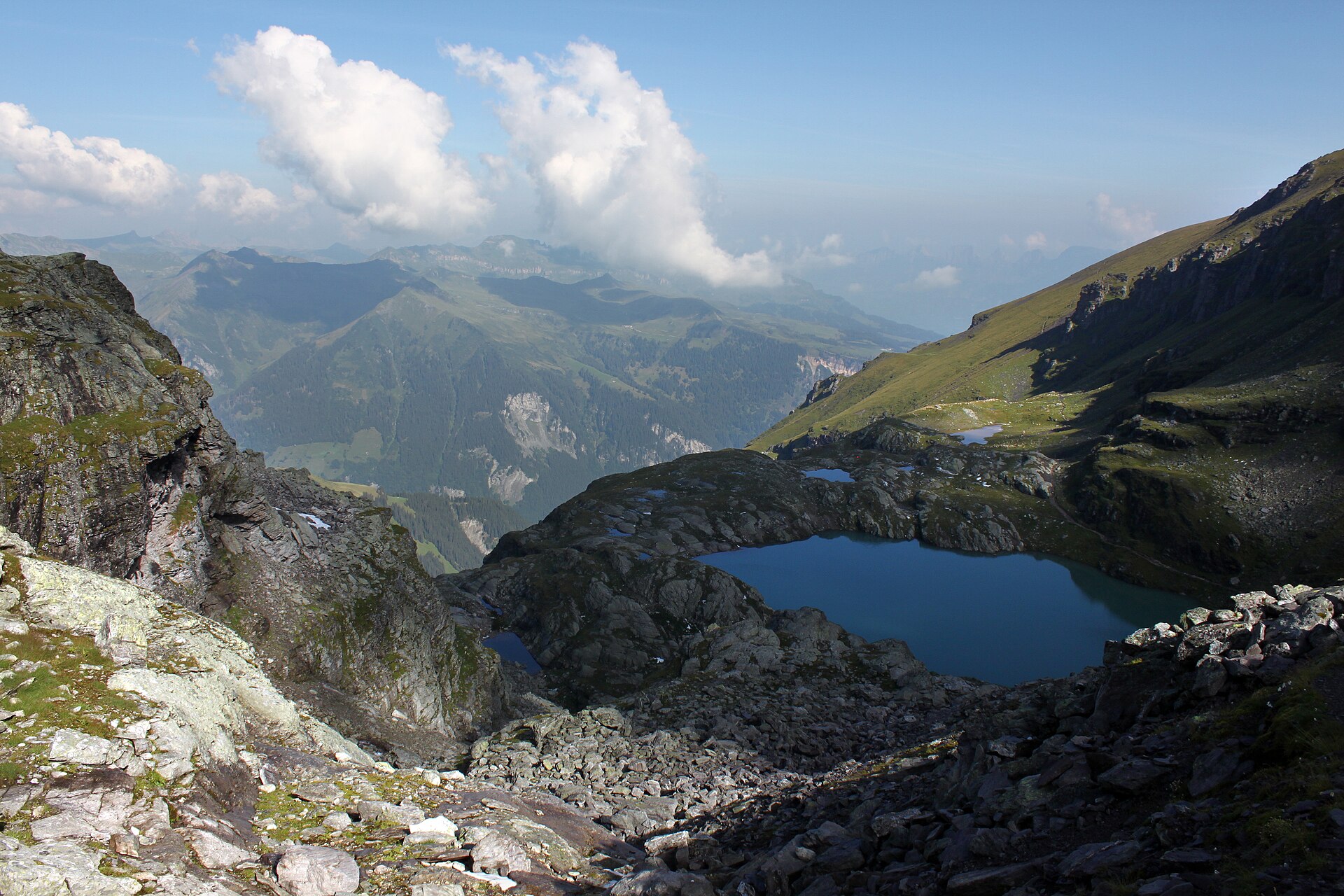
Pizol Five Lakes Tour
A classic 9.5 km high loop past five mountain lakes and the vanished Pizol glacier above Wangs.
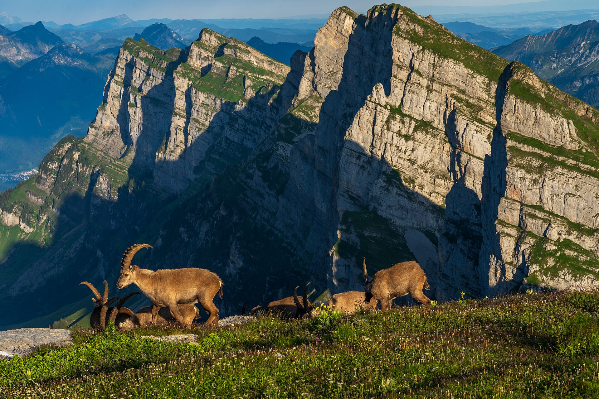
Alp Sellamatt Sound Trail (Toggenburg)
An enchanting, family-oriented musical theme walk set against the dramatic limestone backdrop of the Churfirsten mountain range in Toggenburg. Starting from the Alp Sellamatt high plateau, the trail combines gentle walking with giant outdoor acoustic sound sculptures—including giant singing bowls, melodic metal chimes, and wind-hープ instruments—allowing hikers to interact directly with the natural acoustics of the mountains. The wide, gravel-paved pathways make this ideal for families and relaxed nature lovers.
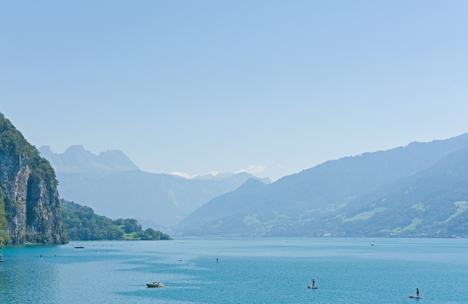
Amden Higher Elevation Panorama Trail
A magnificent balcony hike towering high above the deep blue waters of Lake Walen (Walensee) and facing the dramatic vertical rock walls of the Churfirsten range. Starting from the sun-drenched plateau of Amden, the trail ascends past rolling alpine pastures, fragrant pine groves, and rugged cliff edges toward Mattstock and Hinterrugg viewpoints. The route combines wide gravel paths with scenic mountain foottracks, delivering awe-inspiring vistas across eastern Switzerland.
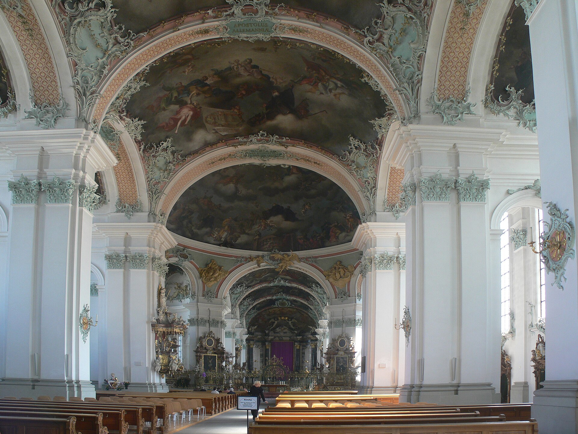
St. Gallen Bach Sacred Music Festival 2027
Sacred choral and organ concerts performing Johann Sebastian Bach's works in the cathedral of St. Gallen.
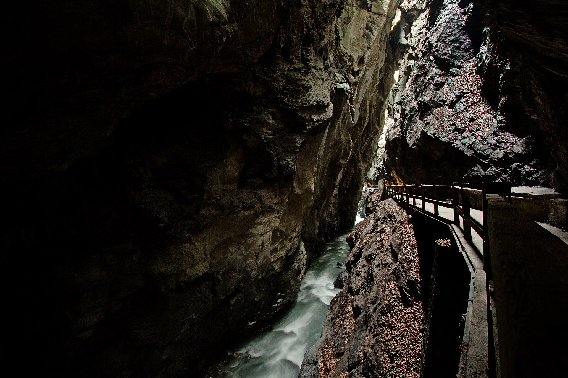
Bad Ragaz to Tamina Gorge Thermal Trail
An awe-inspiring and historic valley walk following the roaring Tamina River from the luxury spa town of Bad Ragaz deep into the dramatic, sheer-walled Tamina Gorge (Taminaschlucht). This is the legendary birthplace of Bad Ragaz's healing thermal waters (36.5°C), discovered in the Middle Ages. The trail winds past grand Belle Époque spa architecture, lush parklands, and enters a secured pedestrian tunnel cutting straight through the towering rock faces to the mystical thermal spring grotto.
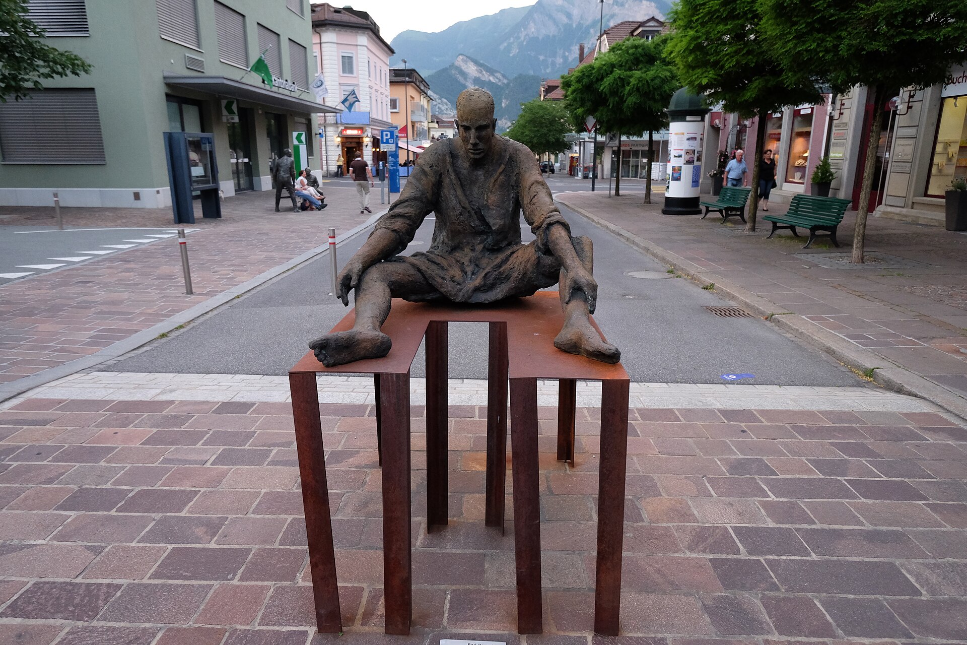
Bad Ragaz International Sculpture Triennial (BadRagARTz) 2027
Europe's largest open-air sculpture exhibition turning the thermal spa resort of Bad Ragaz into a giant art park.