
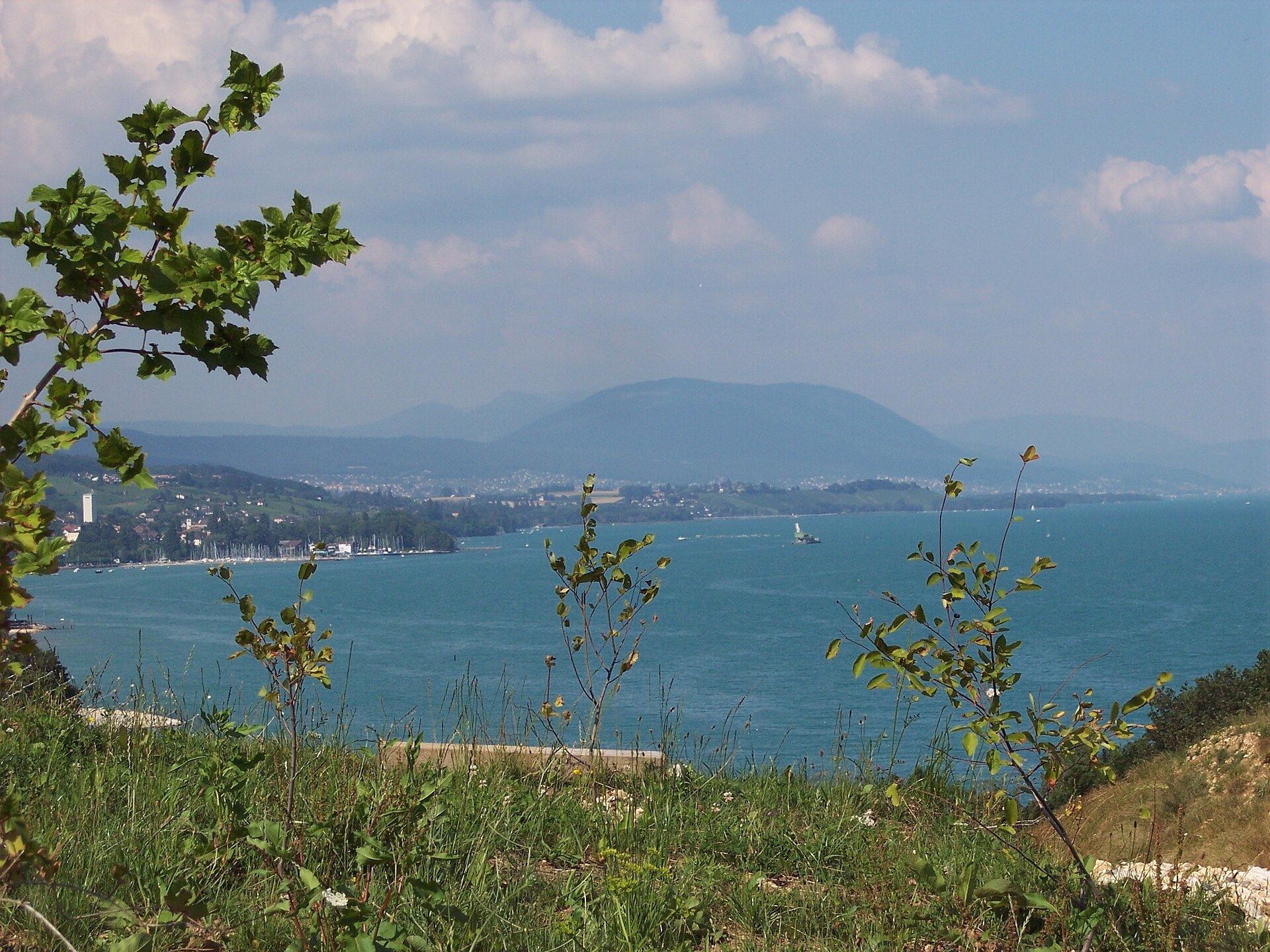
Chaumont and the Neuchâtel Forest Path
Chaumont is the wooded hill above Neuchâtel, reached by a funicular from La Coudre. At the top a tower gives a view over the three lakes and, on clear days, the Alps from the Säntis to Mont Blanc. A grand old hotel and a restaurant stand near the summit. The walk down follows forest paths and quiet roads back to the city, mostly gentle and shaded. It is a good half-day walk for people who like views but not climbs. SAC T1: T1 Hiking: marked yellow trail, no real exposure
- Distance
- 7 km
- Duration
- 2.3 h
- Ascent
- 0 m
- Difficulty
- Easy
At a glance
1/5
4/5
2/5
Apr – Nov
Route
The route, step by step
- 1
Funicular to Chaumont
Ride up from La Coudre in about 10 minutes.
- 2
The tower
Climb the tower for the view of the lakes and the Alps.
- 3
Forest descent
A signed path descends through beech and fir.
- 4
Neuchâtel
Arrive in the old town near the lake.
Elevation profile
Choose your version
Short
Ride up, climb the tower and ride down, about 1 hour.
Classic
Ride up and walk down, about 2.5 hours.
Extended
Walk up and down for a longer day.
Plan your day
Getting there & logistics
- Start
- From Neuchâtel station take bus 7 or the tram to La Coudre and the Chaumont funicular. Check the timetable.
- Finish
- Drive to Neuchâtel and park, or drive to Chaumont, about 20 minutes. Return by public transport.
- Parking
- Paid parking at La Coudre and in Neuchâtel.
Before you leave, check
- Is the lift, boat or railway running today, and when is the last one down?
- Forecast for morning and afternoon (MeteoSwiss), and any storm warnings.
- Trail status: snow, rockfall or closures (local tourist office or lift operator).
- Last public transport home, and your plan if you miss it.
- Hut or restaurant opening days, and whether you need a reservation.
What this day costs
- Mountain lift, cable car or cogwheel train: usually the biggest cost of the day. Ask for the return fare and check pass discounts.
- Train and PostBus fares to the start and home from the end. A Half Fare Card halves most of these.
- Parking, if you drive: day rates vary by place and season, and some car parks fill early.
- Food and drink: mountain restaurants cost noticeably more than the valley. A picnic cuts the day cost sharply.
- Entry fees where they apply, for example caves, gorges or lakeside facilities.
Plan B if the weather turns
Visit Neuchâtel castle and the old town.
Good to know
- Rainy day
- Visit Neuchâtel castle and the old town.
- With kids
- A good family walk, gentle and downhill.
- Dogs
- Allowed on lead.
Stay & rest
Rest options & mountain huts
Chaumont restaurants
Places near the funicular top station.
Forest picnic spots
Benches along the path.
Neuchâtel lakefront cafes
Many choices after the walk.
Where to stay
Mid-range – Hôtel DuPeyrou
A four-star hotel in a historic building.
Upscale – Beau-Rivage Hotel Neuchâtel
A five-star hotel on the lake.
We may earn a commission from bookings made through this link.
Gear
Essential trail gear
For this hike
- Comfortable shoes
- Light jacket
- Water
- Snacks
- Camera
Always
- Sturdy hiking shoes with real tread (trainers only on the flattest routes)
- Water, at least 1 to 1.5 litres per person, more in summer
- Rain shell and one warm layer, even on a sunny morning
- Sun cream, hat and sunglasses (UV rises about 10% per 1,000 m)
- Snacks or a picnic and some cash in coins and small notes
- Phone with offline map (SwissTopo or Komoot), power bank, ID
- Small first-aid kit: plasters, blister tape, painkillers
Background
The story
Neuchâtel is a lake and wine city, and the hills behind it have been a favourite walking ground for locals for generations.
Taste it
A Neuchâtel white wine and a plate of local cheese, or a croûte au fromage.
Route notes
Chaumont is the wooded hill above Neuchâtel, reached by a funicular from La Coudre. At the top a tower gives a view over the three lakes and, on clear days, the Alps from the Säntis to Mont Blanc. A grand old hotel and a restaurant stand near the summit. The walk down follows forest paths and quiet roads back to the city, mostly gentle and shaded. It is a good half-day walk for people who like views but not climbs. SAC T1: T1 Hiking: marked yellow trail, no real exposure
Nearby hikes
- Peat Bog Trail at Les Ponts-de-Martel – Les Ponts-de-Martel, NE
- Tête de Ran and the Vue des Alpes – Vue des Alpes, NE
- Seyon Gorges from Valangin – Valangin, NE
More things to do nearby
We may earn a commission from bookings made through this link.
Browse experiences on GetYourGuideDid you know?
You might also like
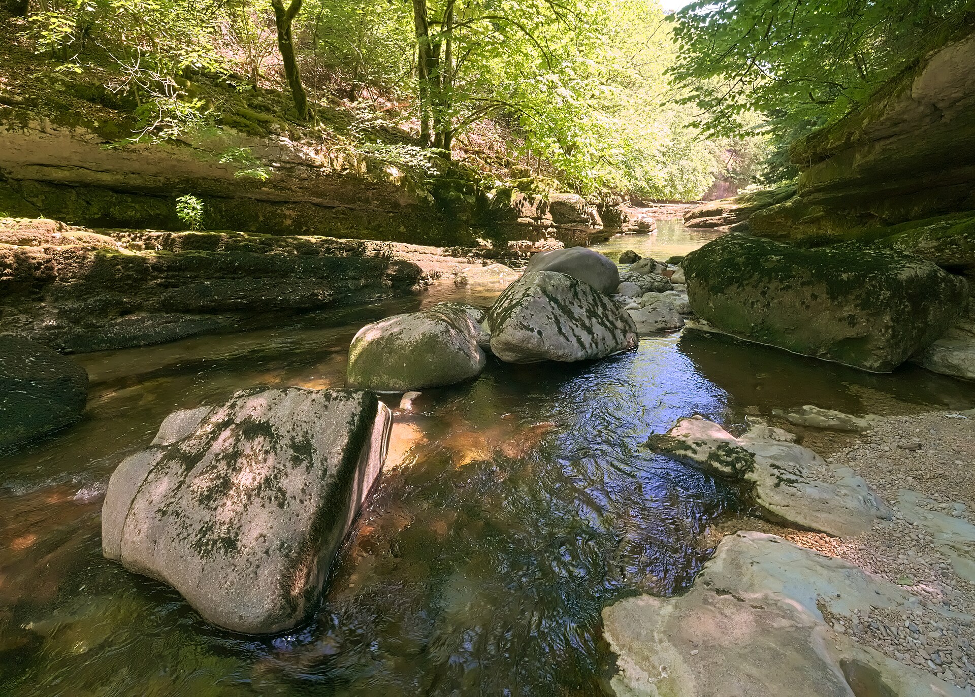
Areuse Gorges, Boudry to Noiraigue
A river path through forest and rock, mostly on the level.
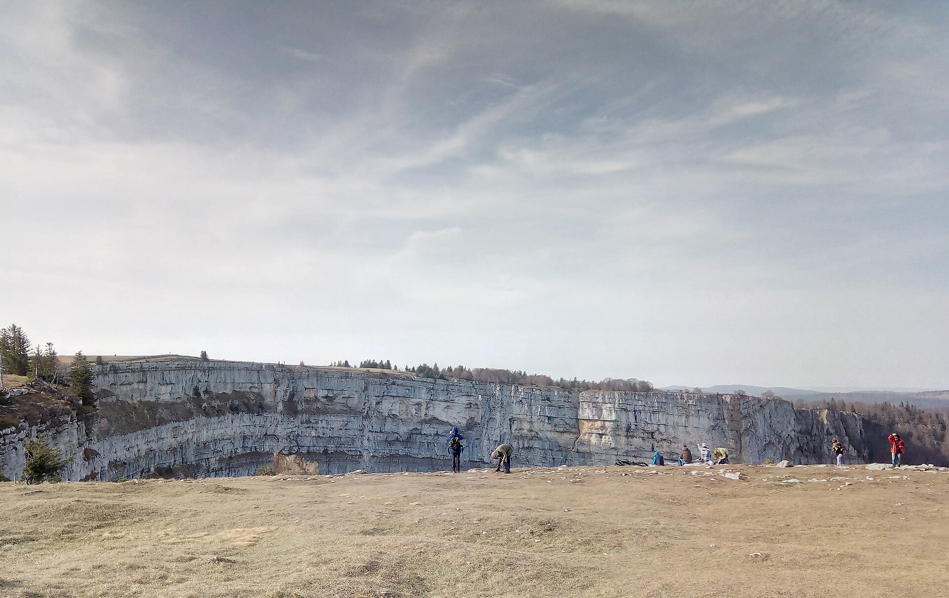
Creux du Van Rim, Neuchatel
A rim circuit around a 500 m rock amphitheatre in the Jura, with ibex and chamois on the cliff edge and the Alps beyond.
Creux du Van Amphitheater Circuit
A world-class geological wonder often called the "Grand Canyon of Switzerland." The Creux du Van is a staggering natural rock amphitheater formed by erosion, featuring sheer vertical limestone cliffs dropping 160 meters into a vast bowl. Starting from Noiraigue or Le Soliat, the trail climbs through shaded beech forests and pastoral Jura pastures before tracing the exposed, fence-less rim of the giant horseshoe cliff, offering breathtaking views across Lake Neuchâtel toward the Alps.
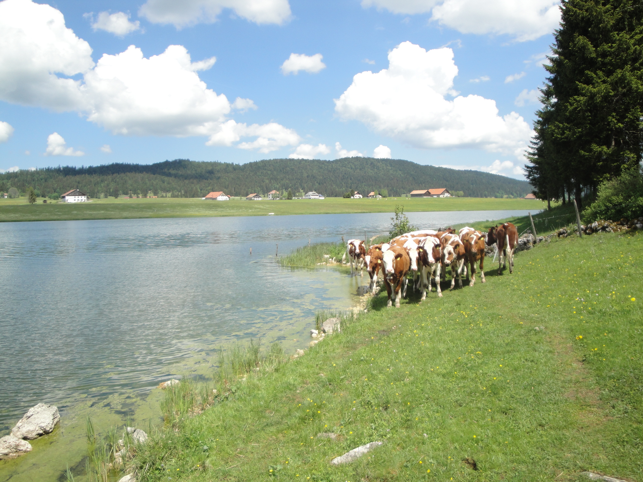
Lac des Taillères
A flat, family-friendly loop around a calm lake in the Vallée de La Brévine, one of the coldest valleys in Switzerland.
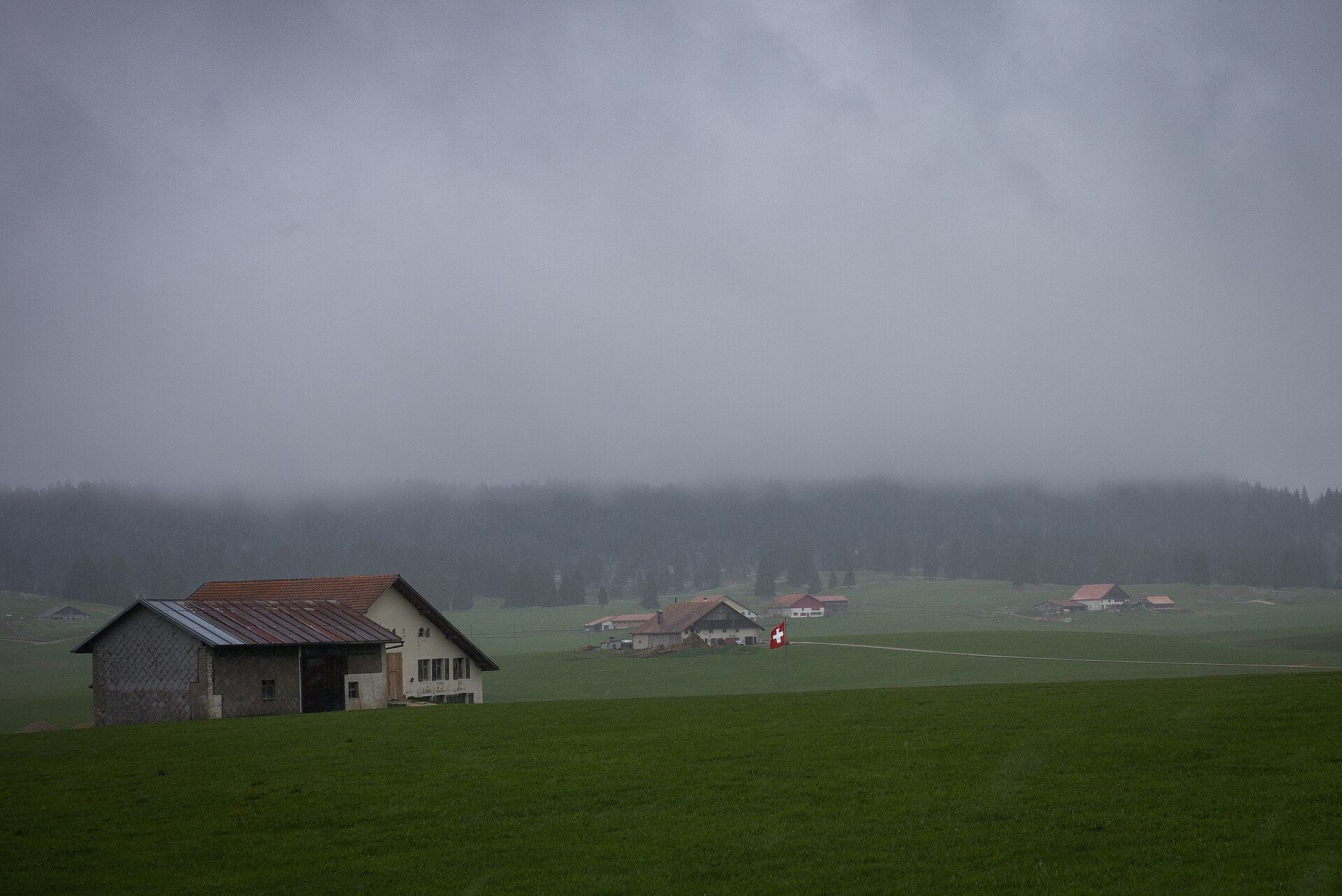
Peat Bog Trail at Les Ponts-de-Martel
A boardwalk through one of the largest peat bogs in Switzerland.
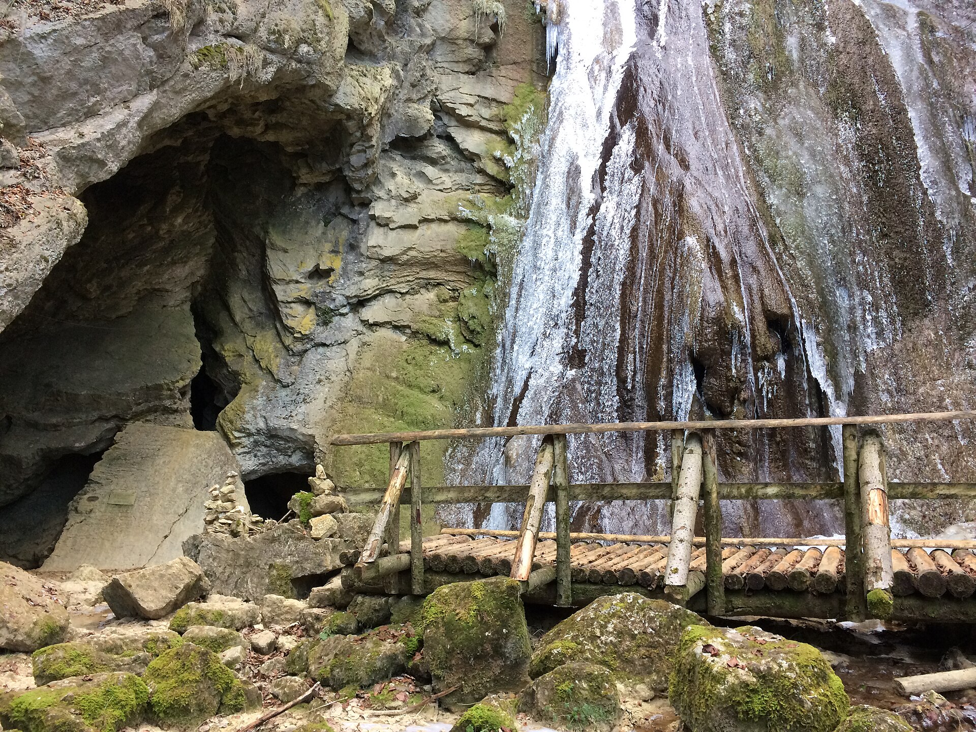
Poëta Raisse Gorge, Val-de-Travers
A waterfall gorge in the valley of absinthe, with a mill and a source.