
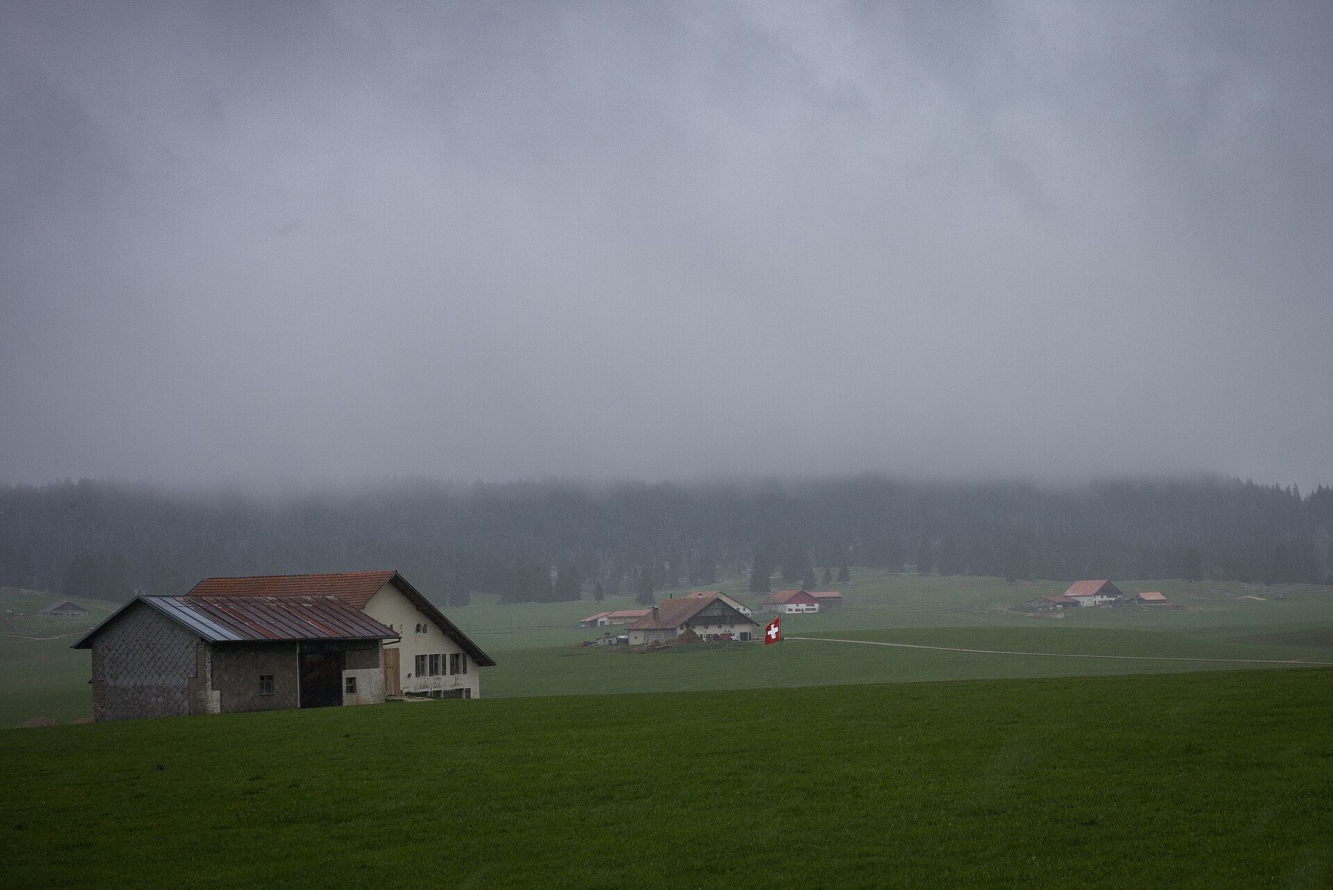
Peat Bog Trail at Les Ponts-de-Martel
The Vallée des Ponts-de-Martel is a high Jura valley with one of the largest peat bogs in Switzerland. The bog is a protected landscape of mosses, cotton grass and rare plants, and boardwalks lead through it. In autumn the bog is a rust-red. The walk follows boardwalks and paths across the bog, with information panels on how peat forms and why it matters for climate. It is flat and easy and a good family outing, with a strong sense of quiet. SAC T1: T1 Hiking: marked yellow trail, no real exposure
- Distance
- 5 km
- Duration
- 1.5 h
- Ascent
- 0 m
- Difficulty
- Easy
At a glance
1/5
4/5
3/5
May – Oct
Route
The route, step by step
- 1
Start at the trailhead
Start near the village and follow the boardwalk.
- 2
Bog boardwalk
A boardwalk crosses the bog.
- 3
Information panels
Panels explain the bog's plants and history.
- 4
Return
Complete the loop back to the start.
Elevation profile
Choose your version
Short
Walk half the boardwalk and return, about 45 minutes.
Classic
Walk the full loop, about 1.5 hours.
Extended
Add a walk through the surrounding valley.
Plan your day
Getting there & logistics
- Start
- Take the train to Les Ponts-de-Martel from La Chaux-de-Fonds or Le Locle (about 20 minutes). Check the timetable.
- Finish
- Drive from Neuchâtel to Les Ponts-de-Martel, about 30 minutes.
- Parking
- A small free or paid car park near the trailhead.
Before you leave, check
- Is the lift, boat or railway running today, and when is the last one down?
- Forecast for morning and afternoon (MeteoSwiss), and any storm warnings.
- Trail status: snow, rockfall or closures (local tourist office or lift operator).
- Last public transport home, and your plan if you miss it.
- Hut or restaurant opening days, and whether you need a reservation.
What this day costs
- Train and PostBus fares to the start and home from the end. A Half Fare Card halves most of these.
- Parking, if you drive: day rates vary by place and season, and some car parks fill early.
- Food and drink: mountain restaurants cost noticeably more than the valley. A picnic cuts the day cost sharply.
- Entry fees where they apply, for example caves, gorges or lakeside facilities.
Plan B if the weather turns
Visit the watchmaking museums of La Chaux-de-Fonds.
Good to know
- Rainy day
- Visit the watchmaking museums of La Chaux-de-Fonds.
- With kids
- A very good family walk, flat and easy.
- Dogs
- Dogs may be restricted in the bog, check signs.
Stay & rest
Rest options & mountain huts
Village cafes
A few places in Les Ponts-de-Martel.
Bog picnic spots
Benches near the trail.
La Chaux-de-Fonds restaurants
A choice of places nearby.
Where to stay
Mid-range – Hôtel DuPeyrou
A four-star hotel in a historic building.
Upscale – Beau-Rivage Hotel Neuchâtel
A five-star hotel on the lake.
We may earn a commission from bookings made through this link.
Gear
Essential trail gear
For this hike
- Light shoes
- Warm layer
- Rain layer
- Binoculars
- Water and snacks
Always
- Sturdy hiking shoes with real tread (trainers only on the flattest routes)
- Water, at least 1 to 1.5 litres per person, more in summer
- Rain shell and one warm layer, even on a sunny morning
- Sun cream, hat and sunglasses (UV rises about 10% per 1,000 m)
- Snacks or a picnic and some cash in coins and small notes
- Phone with offline map (SwissTopo or Komoot), power bank, ID
- Small first-aid kit: plasters, blister tape, painkillers
Background
The story
The Jura peat bogs formed over thousands of years, and they store large amounts of carbon.
Taste it
A local Tête de Moine cheese or a Neuchâtel sausage in the village.
Route notes
The Vallée des Ponts-de-Martel is a high Jura valley with one of the largest peat bogs in Switzerland. The bog is a protected landscape of mosses, cotton grass and rare plants, and boardwalks lead through it. In autumn the bog is a rust-red. The walk follows boardwalks and paths across the bog, with information panels on how peat forms and why it matters for climate. It is flat and easy and a good family outing, with a strong sense of quiet. SAC T1: T1 Hiking: marked yellow trail, no real exposure
Nearby hikes
- Chaumont and the Neuchâtel Forest Path – Neuchâtel, NE
- Poëta Raisse Gorge, Val-de-Travers – Saint-Sulpice, NE
- Rothenthurm Moor Trail & Alpine Fen Crossing – Schwyz Pre-Alps / Rothenthurm, SZ
More things to do nearby
We may earn a commission from bookings made through this link.
Browse experiences on GetYourGuideDid you know?
You might also like
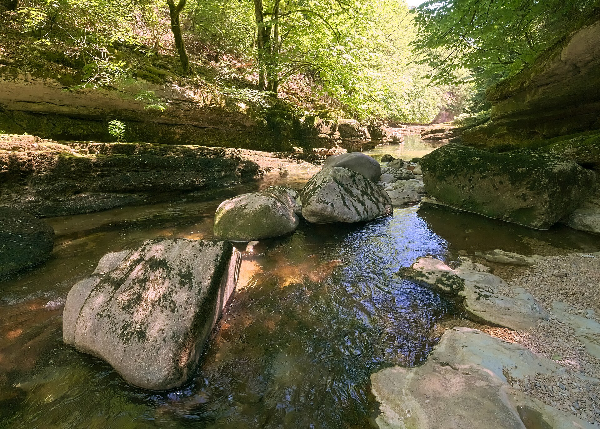
Areuse Gorges, Boudry to Noiraigue
A river path through forest and rock, mostly on the level.
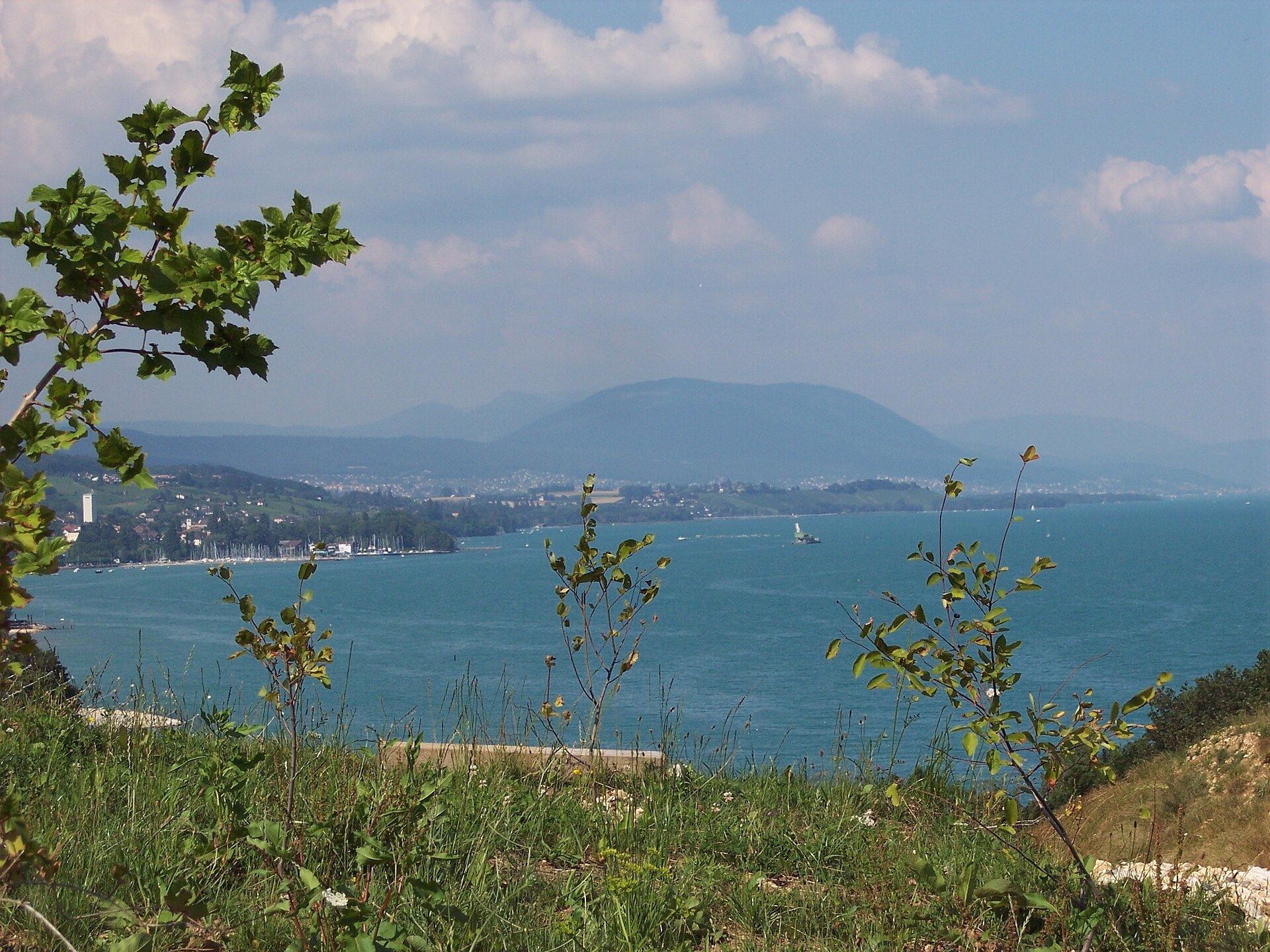
Chaumont and the Neuchâtel Forest Path
A funicular above the lake and a long gentle walk home through the forest.
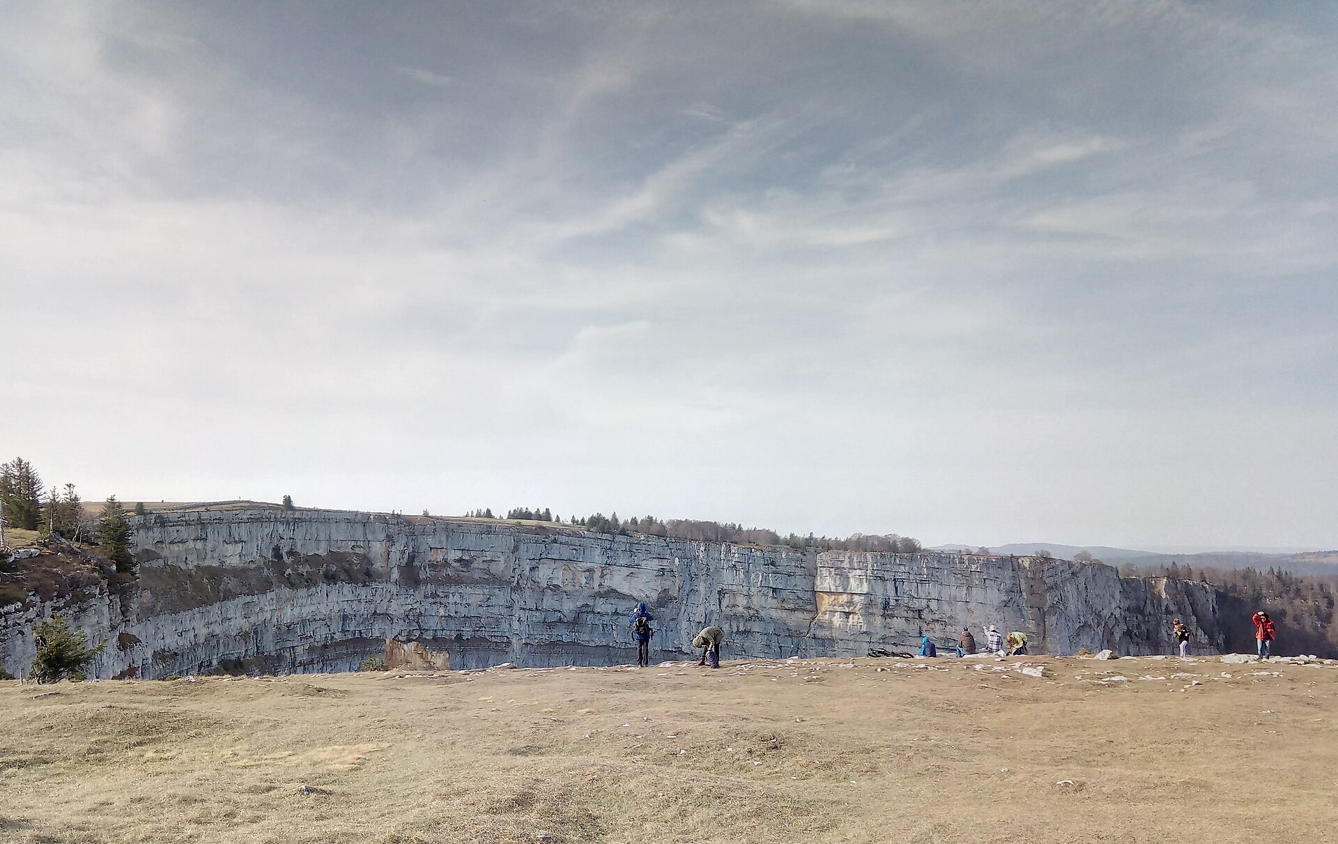
Creux du Van Rim, Neuchatel
A rim circuit around a 500 m rock amphitheatre in the Jura, with ibex and chamois on the cliff edge and the Alps beyond.

Creux du Van Amphitheater Circuit
A world-class geological wonder often called the "Grand Canyon of Switzerland." The Creux du Van is a staggering natural rock amphitheater formed by erosion, featuring sheer vertical limestone cliffs dropping 160 meters into a vast bowl. Starting from Noiraigue or Le Soliat, the trail climbs through shaded beech forests and pastoral Jura pastures before tracing the exposed, fence-less rim of the giant horseshoe cliff, offering breathtaking views across Lake Neuchâtel toward the Alps.
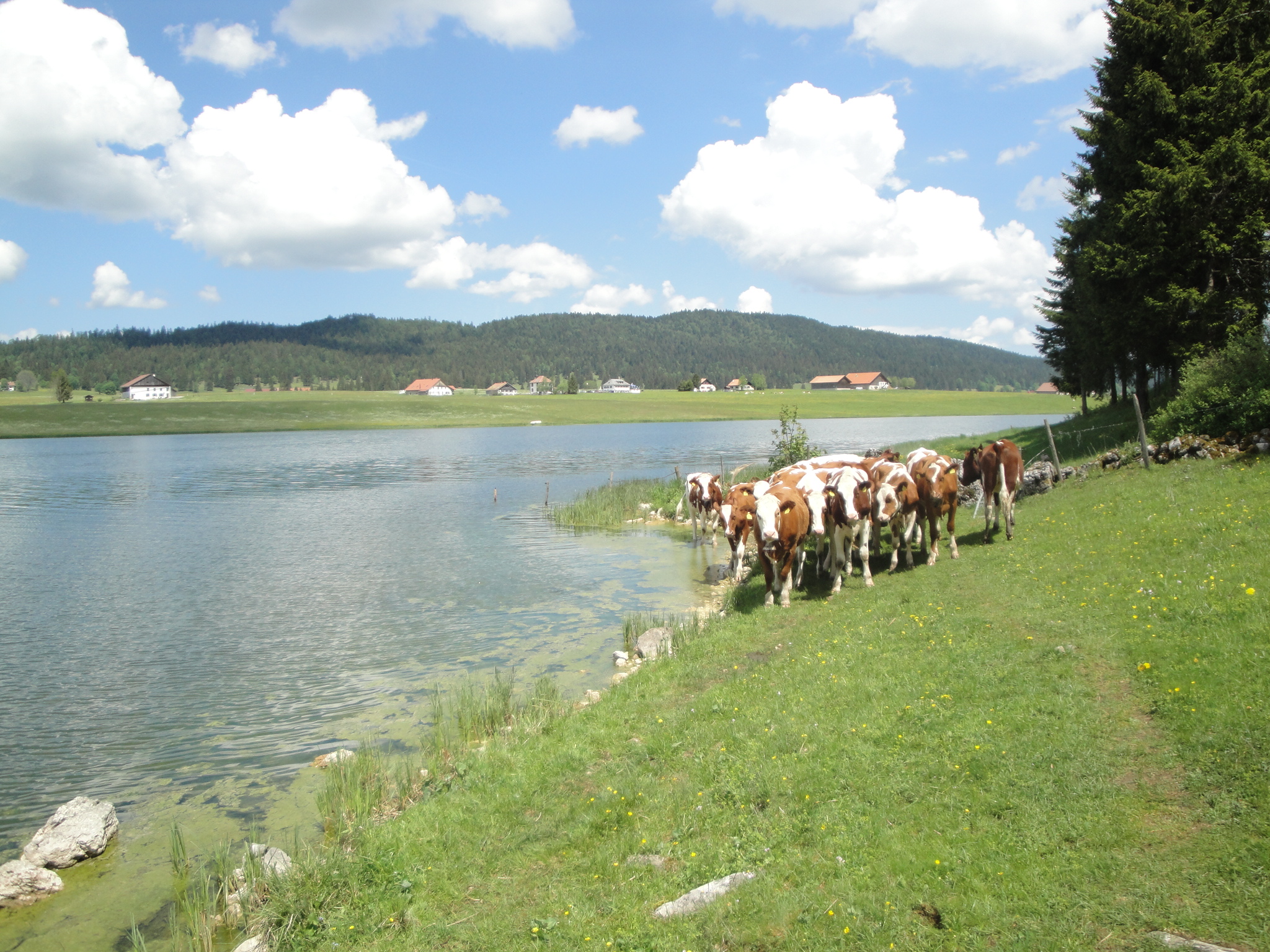
Lac des Taillères
A flat, family-friendly loop around a calm lake in the Vallée de La Brévine, one of the coldest valleys in Switzerland.
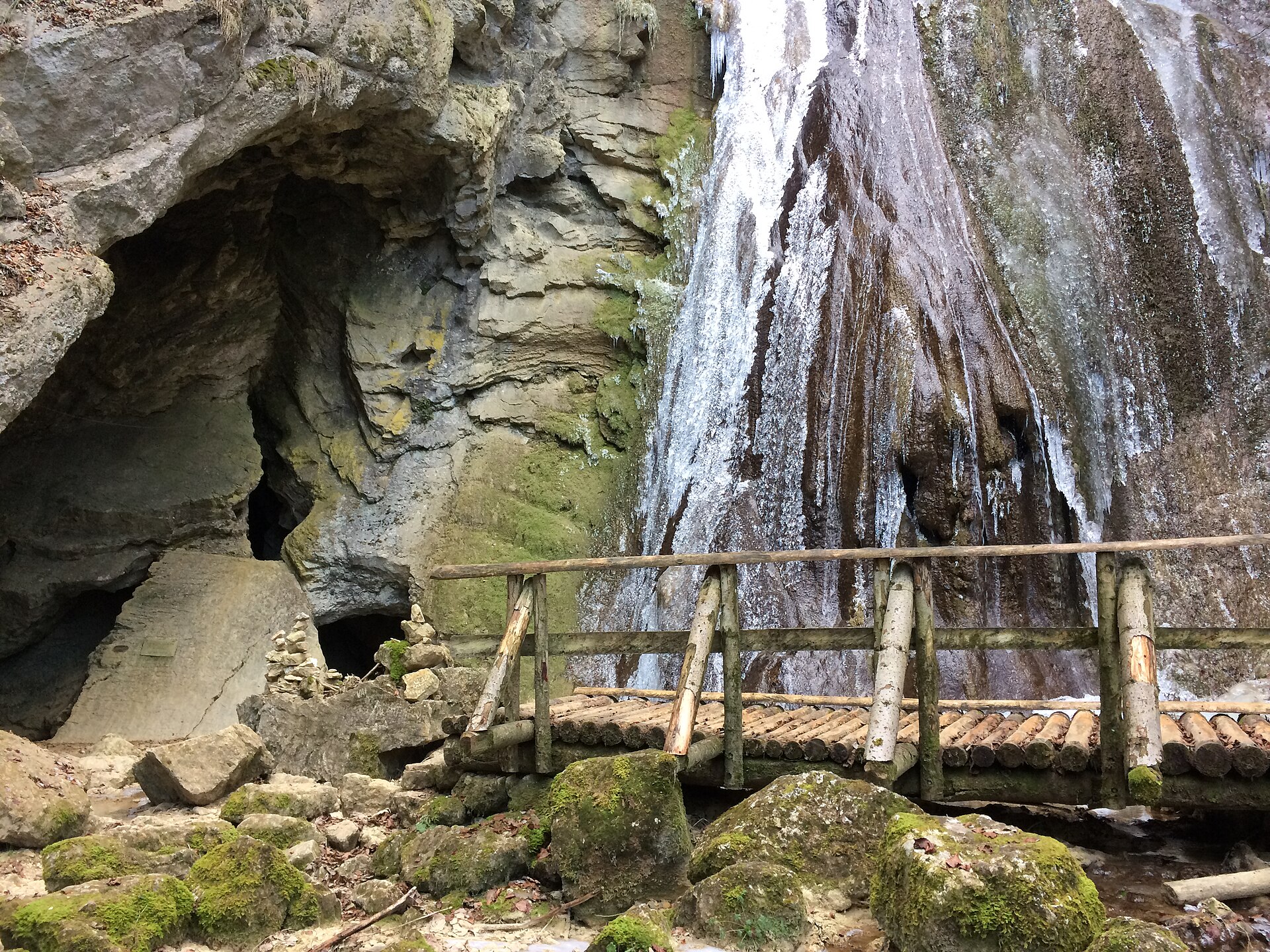
Poëta Raisse Gorge, Val-de-Travers
A waterfall gorge in the valley of absinthe, with a mill and a source.