
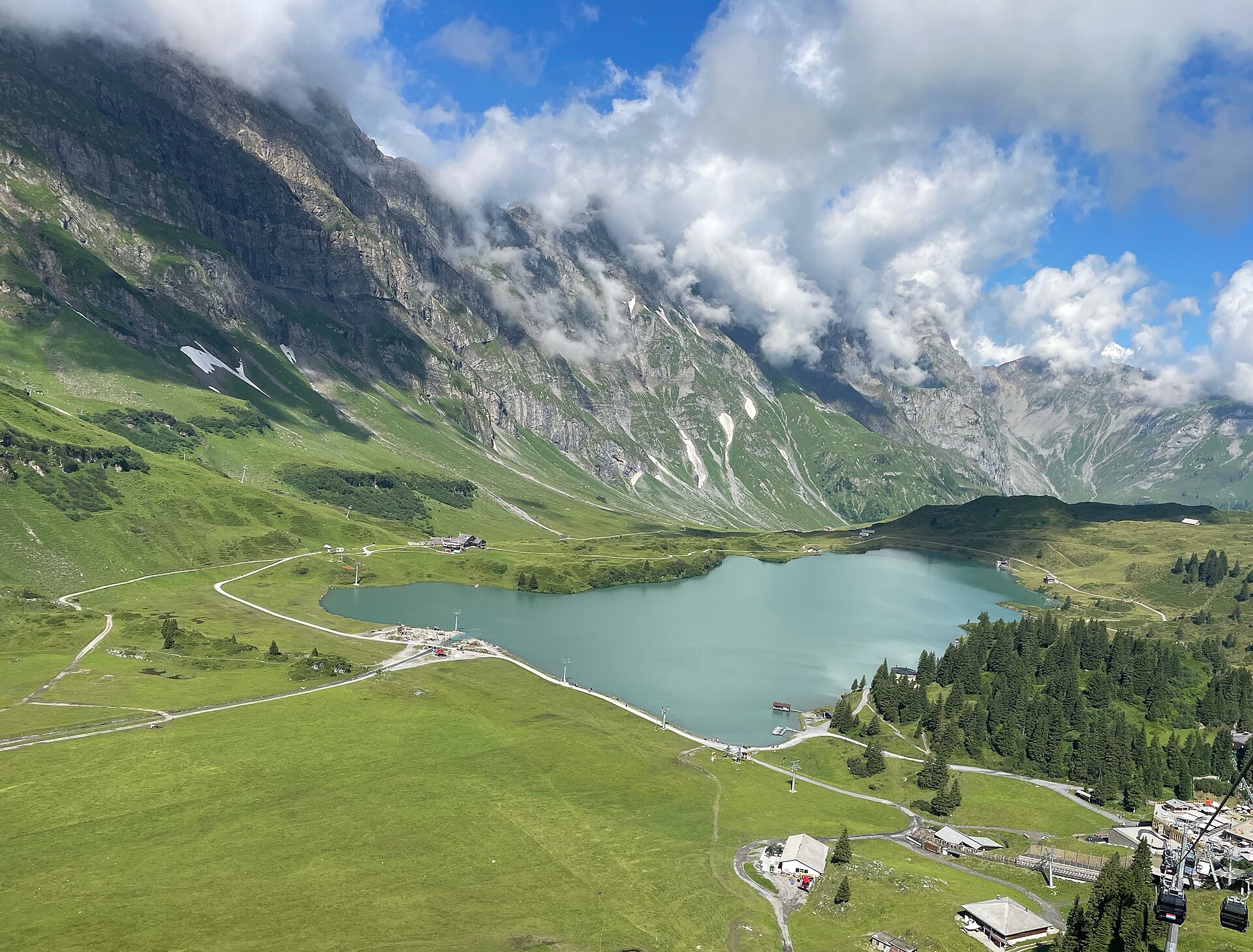
Engelberg to Trübsee Alpine Trail
A classic and highly rewarding alpine ascent following rushing glacial streams and blooming dairy pastures from the mountain resort of Engelberg up to the shimmering alpine reservoir of Lake Trübsee. Flanked by the towering limestone walls of the Titlis massif and surrounding Uri Alps, the trail offers a magnificent blend of shaded forest tracks and open sun-drenched plateau paths. ---
- Distance
- 7.5 km
- Difficulty
- Moderate
Route
The route, step by step
- 1
Stage 1: Engelberg Village to Gerschnialp Forest Ascent
From Engelberg station, follow the signposted mountain path climbing steeply through the shaded Gerschnialp pine woods. (2.5 km, +350 m / -20 m)
- 2
Stage 2: Gerschnialp to Untertrübsee Alpine Pastures
Traverse open dairy pastures and pastoral farming tracks leading upward toward Untertrübsee. (2.8 km, +240 m / -40 m)
- 3
Stage 3: Untertrübsee to Lake Trübsee Reservoir
Complete the final alpine ascent along engineered switchbacks directly to Lake Trübsee station and hotel. (2.2 km, +200 m / -10 m)
Plan your day
Getting there & logistics
- Start
- SBB train via Lucerne to Engelberg station. Return from Trübsee via Titlis Express cable car or hiking trail.
- Finish
- Return via same route or loop connection
- Parking
- Drive via A2 motorway to Stans and Engelberg valley road. Park at Titlis cable car parking garage (CHF 5.00/day).
Good to know
- Rainy day
- Check local weather forecasts and mountain railway operational schedules before departure.
Stay & rest
Rest options & mountain huts
Panoramic Picnic Spot
Lake Trübsee Eastern Shore Benches — Wooden picnic tables and public stone barbecue fire pits right on the water.
Supermarket Prep
Coop or Migros Engelberg village center before starting your ascent.
On-Trail Mountain Inn
**Berghthaus Untertrübsee** — Famous for homemade alpine cheese tarts, fresh milk, and regional Swiss rösti.
Where to stay
Budget – Berghhotel Trübsee
High-altitude alpine hotel perched right at the lake shore offering comfortable rooms and dormitory beds.
Mid-Range – Hotel Terrace Engelberg
3-star classic resort hotel overlooking the Engelberg valley.
Upscale – Kempinski Palace Engelberg
5-star luxury alpine spa hotel in Engelberg village.
We may earn a commission from bookings made through this link.
Gear
Essential trail gear
For this hike
- Sturdy hiking boots
- Windproof shell jacket
- Water bottle (1.5L)
Always
- First aid kit
- Alpine emergency blanket
- Swiss topographic map / Komoot
Background
Route notes
A classic and highly rewarding alpine ascent following rushing glacial streams and blooming dairy pastures from the mountain resort of Engelberg up to the shimmering alpine reservoir of Lake Trübsee. Flanked by the towering limestone walls of the Titlis massif and surrounding Uri Alps, the trail offers a magnificent blend of shaded forest tracks and open sun-drenched plateau paths. ---
Nearby hikes
- Trübsee Lake and Jochpass – Engelberg, OW
- Brunni to Ristis Panorama Trail – Engelberg Valley, OW
- Titlis Cliff Walk & Trübsee Lake Panorama Loop – Engelberg / Titlis Massif, OW
Experiences near this hike
We may earn a commission from bookings made through this link.
 Sponsoredfrom CHF 129
More things to do nearby
We may earn a commission from bookings made through this link.
Browse experiences on GetYourGuideDid you know?
You might also like
Brunni to Ristis Panorama Trail
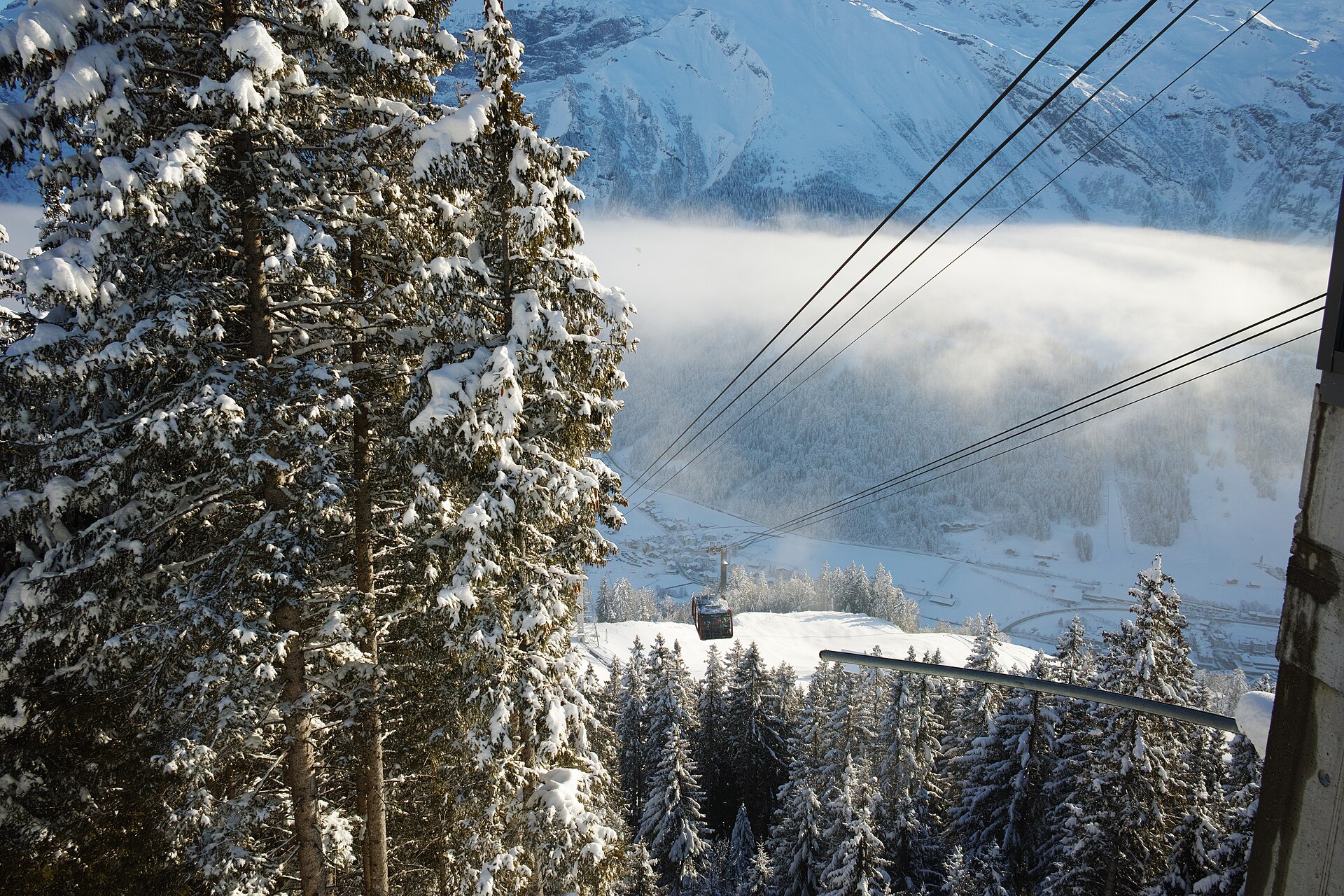
A sun-drenched, family-friendly panoramic trail perched on the south-facing sunny terrace of Engelberg (Brunni). Known as Engelberg's sunny side, the route connects the Brunni alpine station with Ristis, winding past fragrant pine forests, sparkling mountain tarns (Henniboden), and open dairy pastures with monumental, uninterrupted views of Titlis and the towering limestone rock faces of the Uri Alps.
Älggi Alp Geographical Center Hike
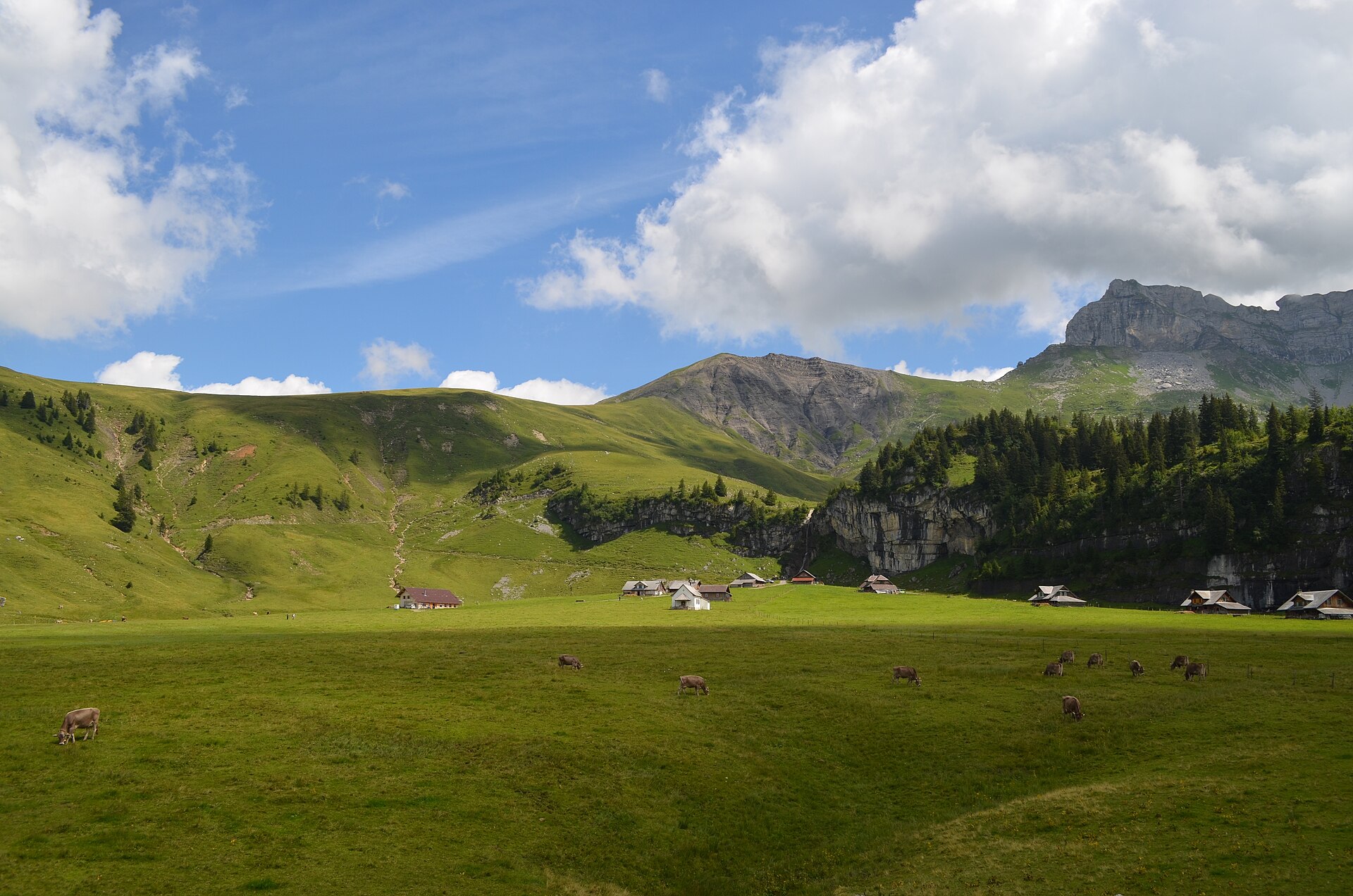
A fascinating pilgrimage hike leading to the official geographical center of Switzerland (Älggi Alp), marked by a monumental stone triangulation pillar. Starting from Chlisterli near Sachseln or Flüeli-Ranft, the trail climbs gently through shaded pine forests, flowering alpine meadows, and limestone karst terraces. Alongside the geographic marker, hikers are rewarded with sweeping 360-degree panoramas spanning from Lake Lucerne to the towering peaks of Titlis and the Bernese Alps.
Brünig Pass to Lungern Panorama Trail
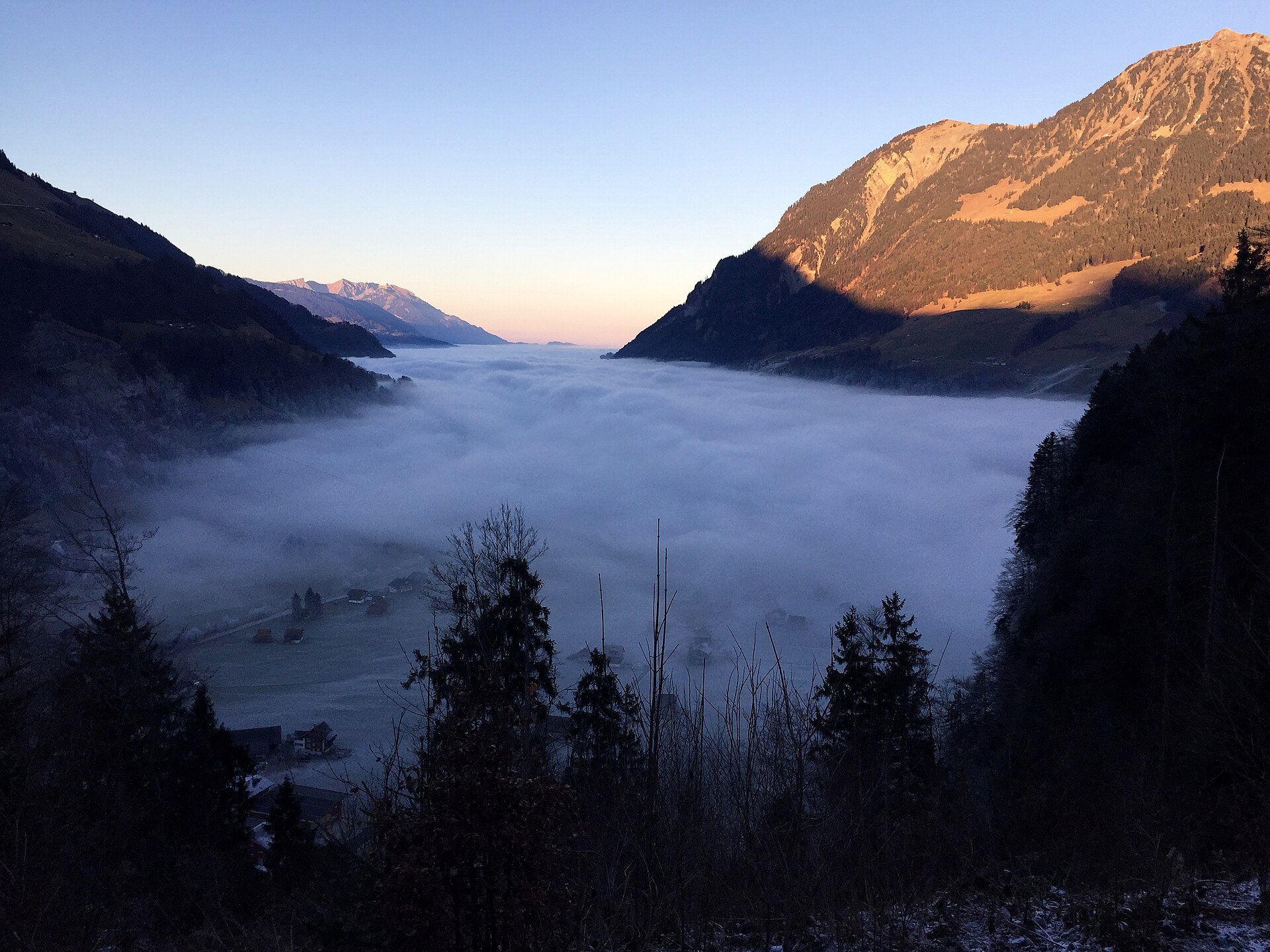
A delightful and scenic downhill hiking trail linking the historic Brünig Pass with the turquoise-blue shores of Lake Lungern (Lungerersee). Winding through fragrant pine forests, historic alpine hamlets, and sun-drenched dairy meadows, the route offers gorgeous downward vistas across the Lungern valley basin and the surrounding Central Swiss pre-Alps.
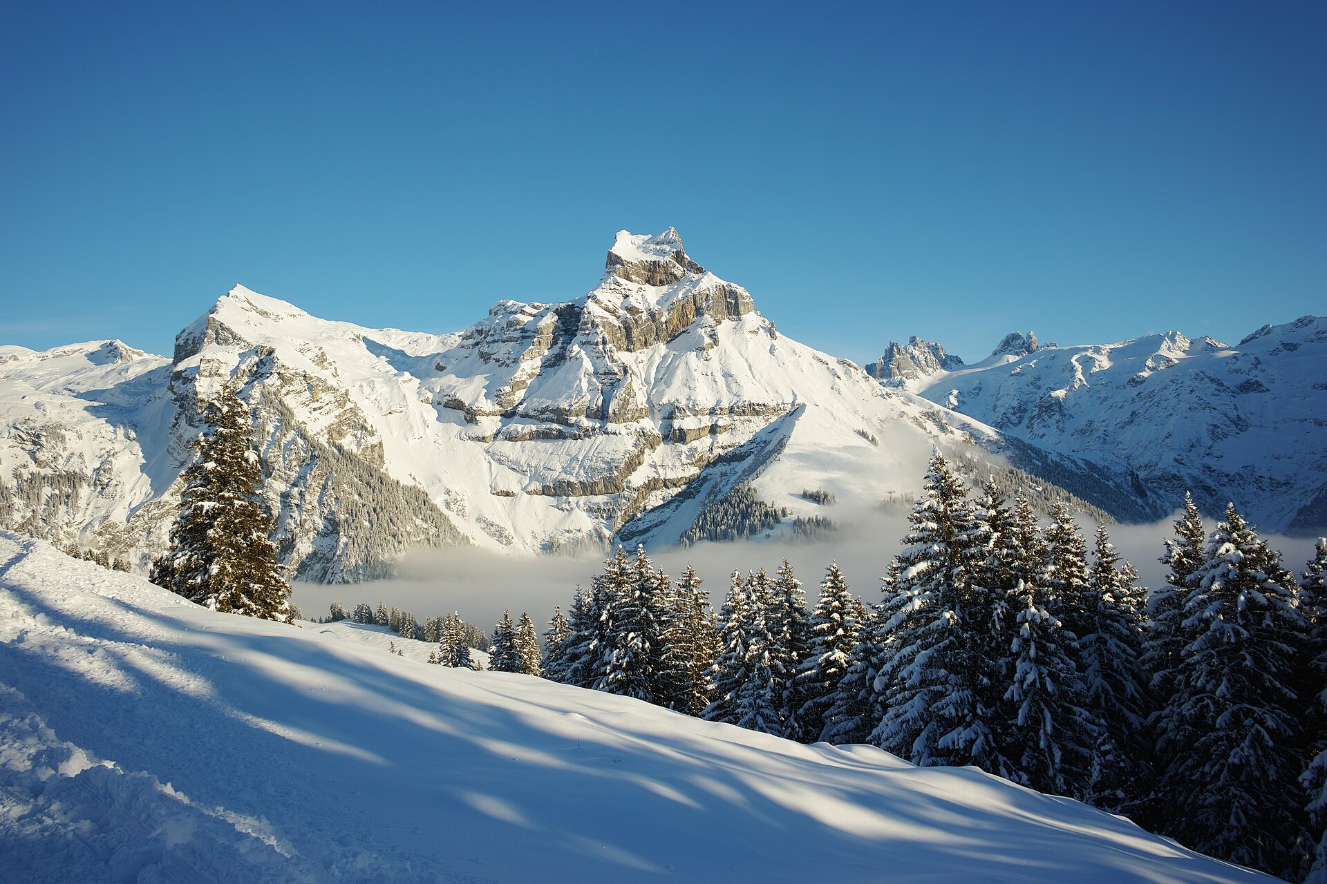
Fürenalp and the Waterfall above Engelberg
A high alp reached by a small cable car, with a waterfall and a view of the Titlis.
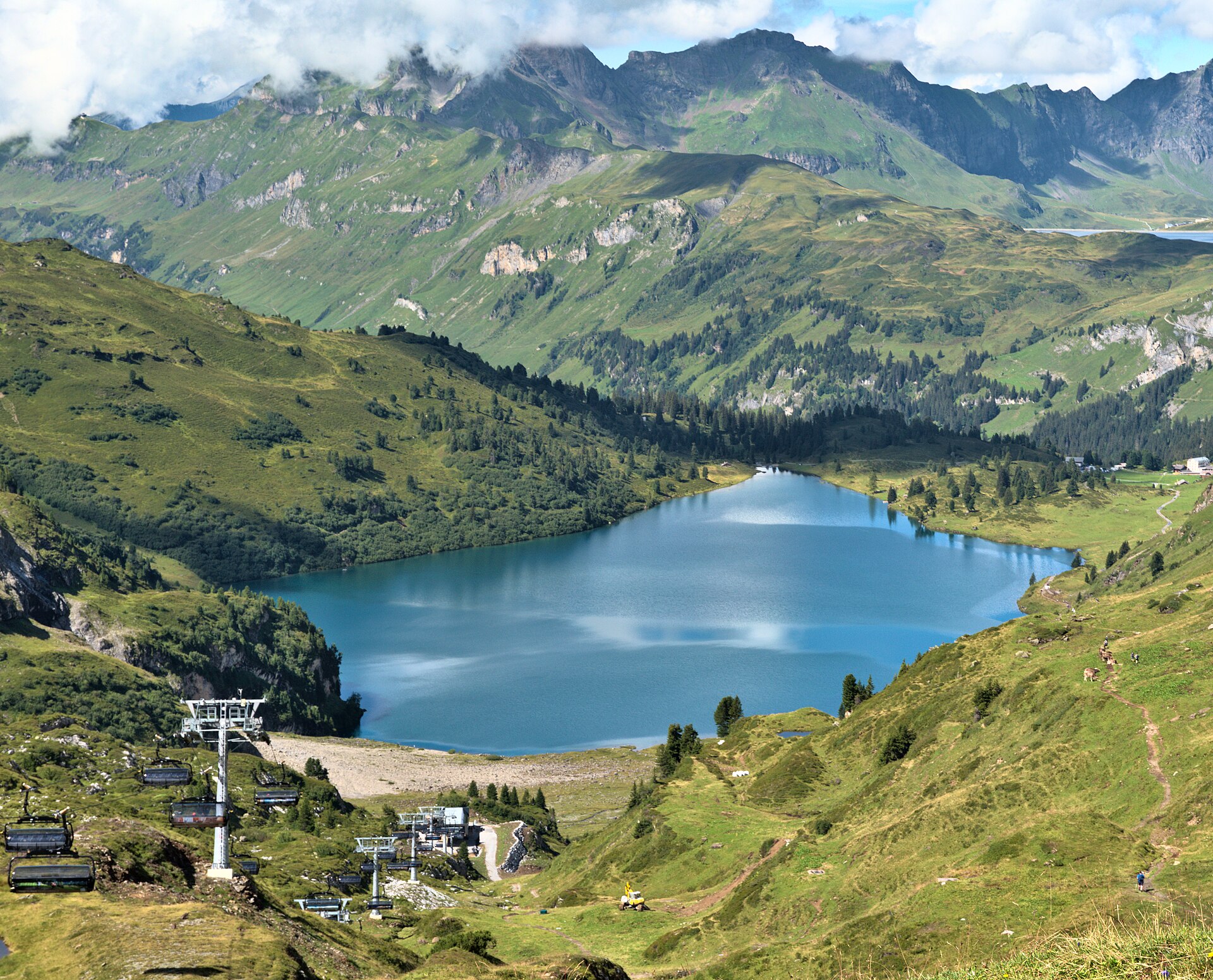
Jochpass to Engstlensee and Engstlenalp
A pass walk from Engelberg to a lake on the Bernese side, with a historic hotel at the end.
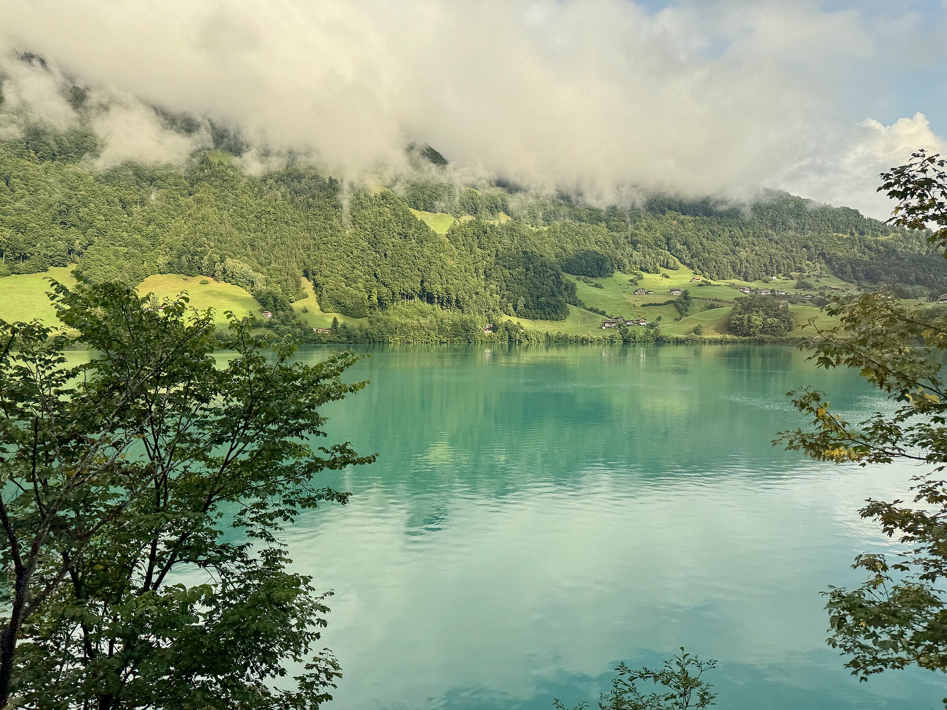
Lungerersee Lake Loop
A green mountain lake below the Brünig pass, with a flat path around it.