
Lungerersee Lake Loop
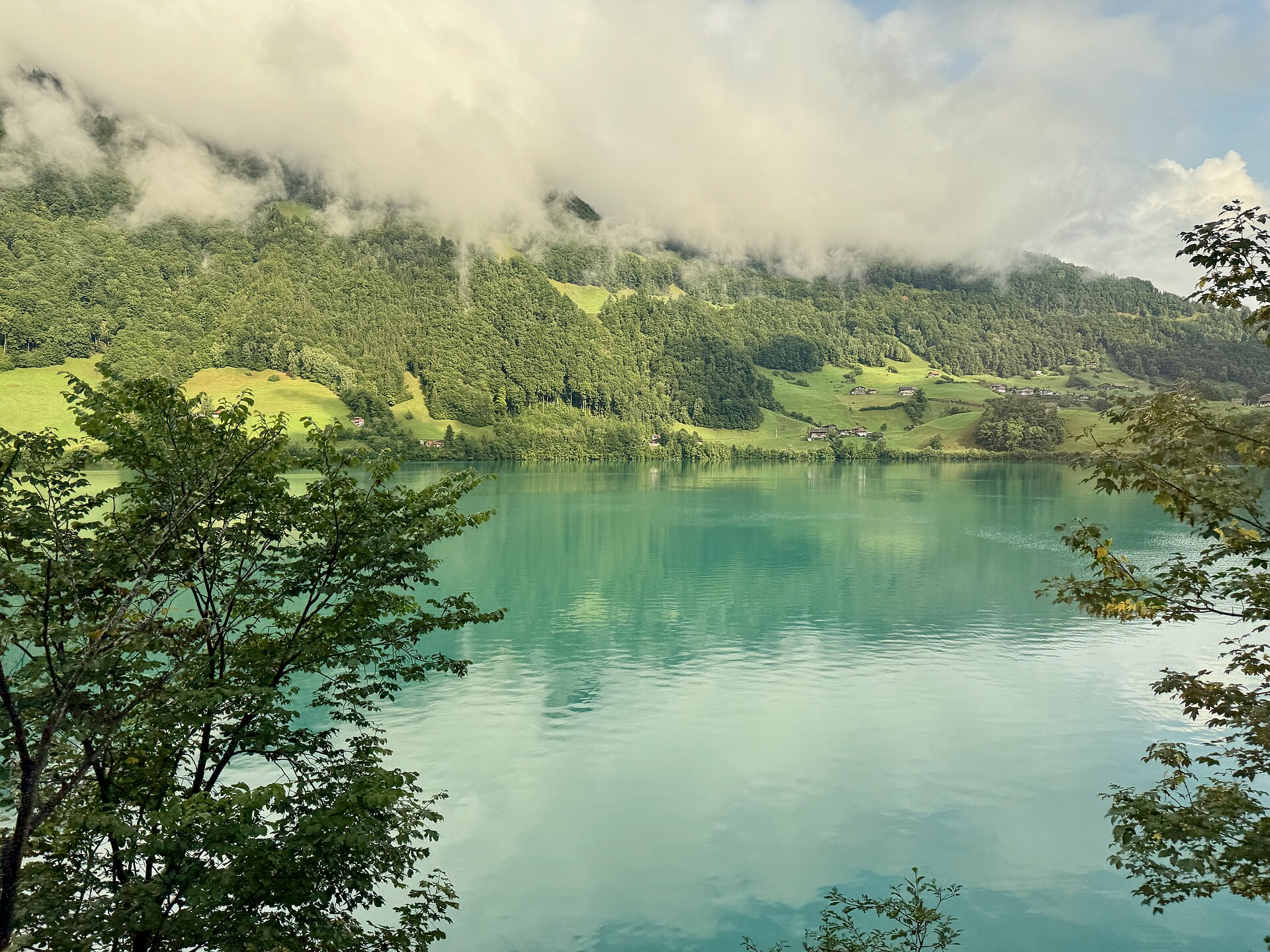
Lake Lungern lies in a valley in Obwalden, between the Brünig pass and the Sarnen plain, with forested slopes rising on either side. The water is deep green, and in summer it is warm enough to swim in. A path circles the lake along the shore and through meadows. It is almost flat and suitable for families. The railway between Lucerne and Interlaken passes along the shore, so you can ride in and walk out. SAC T1: T1 Hiking: marked yellow trail, no real exposure
- Distance
- 8 km
- Duration
- 2.5 h
- Ascent
- 100 m
- Difficulty
- Easy
At a glance
1/5
3/5
2/5
Apr – Oct
Route
The route, step by step
- 1
Lungern village
Start at the station and follow the lake path.
- 2
North shore
A flat path follows the shore through meadow and forest.
- 3
Head of the lake
Cross near the inflow and turn back.
- 4
South shore
Return along the opposite shore to the village.
Elevation profile
Choose your version
Short
Walk half the lake and return by train, about 1.5 hours.
Classic
Walk the full loop, about 2.5 hours.
Extended
Add a climb to a nearby alp for a longer day.
Plan your day
Getting there & logistics
- Start
- Take the Zentralbahn train from Lucerne to Lungern (about 50 minutes). The lake path starts near the station. Check the timetable.
- Finish
- Drive from Lucerne to Lungern via the A8, about 45 minutes.
- Parking
- Paid parking at Lungern near the lake.
Before you leave, check
- Is the lift, boat or railway running today, and when is the last one down?
- Forecast for morning and afternoon (MeteoSwiss), and any storm warnings.
- Trail status: snow, rockfall or closures (local tourist office or lift operator).
- Last public transport home, and your plan if you miss it.
- Hut or restaurant opening days, and whether you need a reservation.
What this day costs
- Train and PostBus fares to the start and home from the end. A Half Fare Card halves most of these.
- Parking, if you drive: day rates vary by place and season, and some car parks fill early.
- Food and drink: mountain restaurants cost noticeably more than the valley. A picnic cuts the day cost sharply.
- Entry fees where they apply, for example caves, gorges or lakeside facilities.
Plan B if the weather turns
Visit the Lucerne old town or the Brienz woodcarving museums.
Good to know
- Rainy day
- Visit the Lucerne old town or the Brienz woodcarving museums.
- With kids
- A very good family walk.
- Dogs
- Allowed on lead.
Stay & rest
Rest options & mountain huts
Lakeside restaurants
A few places near the shore.
Lungern village cafes
A choice of places near the station.
Picnic spots
Benches and grass by the lake.
Where to stay
Budget – Youth Hostel Luzern
A modern hostel, about 50 minutes away.
Upscale – Hotel Schweizerhof Luzern
A five-star hotel on the lakefront.
We may earn a commission from bookings made through this link.
Gear
Essential trail gear
For this hike
- Light hiking shoes
- Swimsuit
- Sun cream
- Rain layer
- Water and a picnic
Always
- Sturdy hiking shoes with real tread (trainers only on the flattest routes)
- Water, at least 1 to 1.5 litres per person, more in summer
- Rain shell and one warm layer, even on a sunny morning
- Sun cream, hat and sunglasses (UV rises about 10% per 1,000 m)
- Snacks or a picnic and some cash in coins and small notes
- Phone with offline map (SwissTopo or Komoot), power bank, ID
- Small first-aid kit: plasters, blister tape, painkillers
Background
The story
The Brünig railway between Lucerne and Interlaken is a scenic narrow-gauge line that follows the shore of Lake Lungern.
Taste it
A lake fish dish or an Obwalden cheese platter by the water.
Route notes
Lake Lungern lies in a valley in Obwalden, between the Brünig pass and the Sarnen plain, with forested slopes rising on either side. The water is deep green, and in summer it is warm enough to swim in. A path circles the lake along the shore and through meadows. It is almost flat and suitable for families. The railway between Lucerne and Interlaken passes along the shore, so you can ride in and walk out. SAC T1: T1 Hiking: marked yellow trail, no real exposure
Nearby hikes
- Brünig Pass to Lungern Panorama Trail – Lungern Valley, OW
- Klöntalersee Lake Loop – Glarus, GL
- Lauenensee Loop near Gstaad – Lauenen, BE
Experiences near this hike
We may earn a commission from bookings made through this link.
 Sponsoredfrom CHF 129
More things to do nearby
We may earn a commission from bookings made through this link.
Browse experiences on GetYourGuideDid you know?
You might also like
Älggi Alp Geographical Center Hike
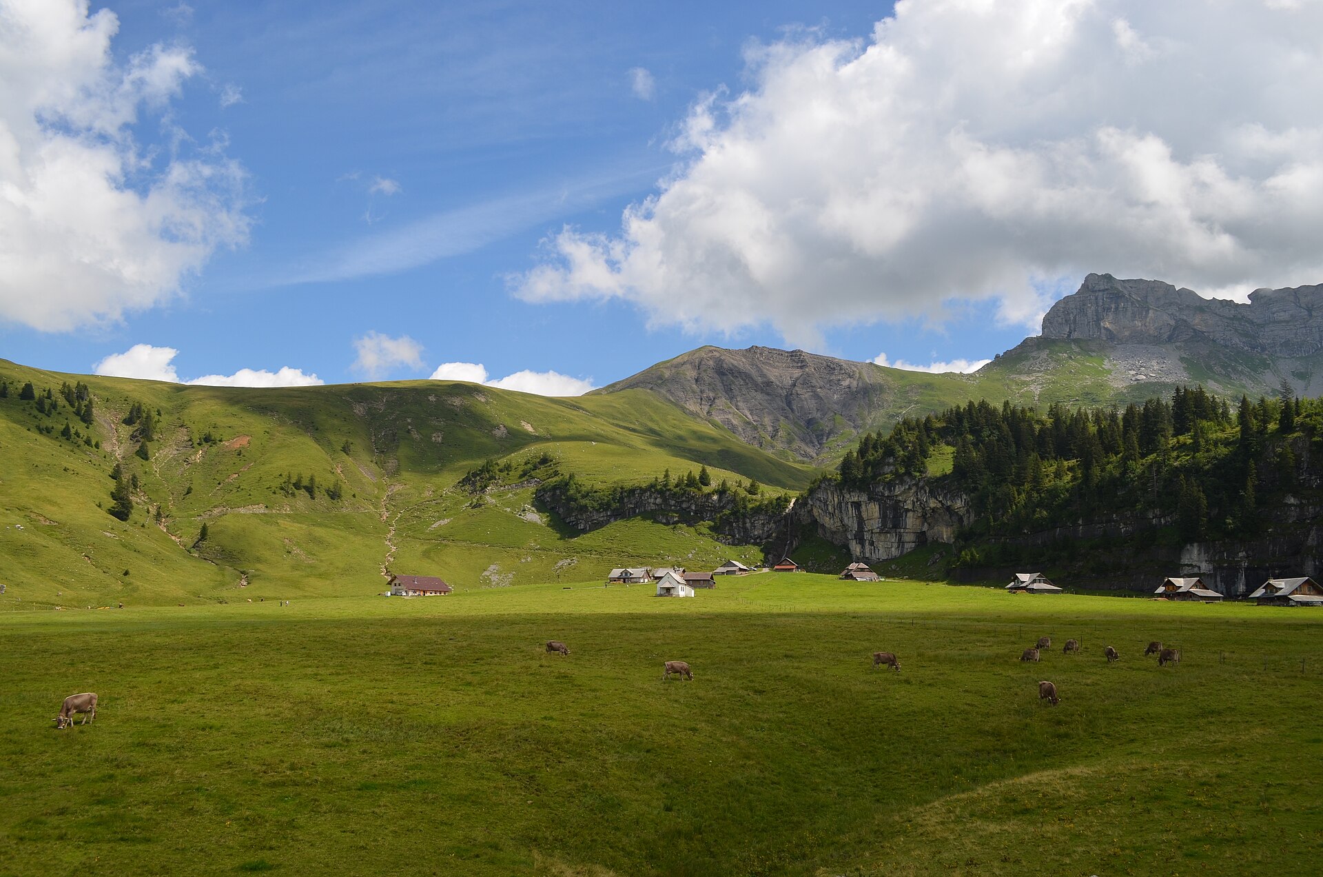
A fascinating pilgrimage hike leading to the official geographical center of Switzerland (Älggi Alp), marked by a monumental stone triangulation pillar. Starting from Chlisterli near Sachseln or Flüeli-Ranft, the trail climbs gently through shaded pine forests, flowering alpine meadows, and limestone karst terraces. Alongside the geographic marker, hikers are rewarded with sweeping 360-degree panoramas spanning from Lake Lucerne to the towering peaks of Titlis and the Bernese Alps.
Brünig Pass to Lungern Panorama Trail
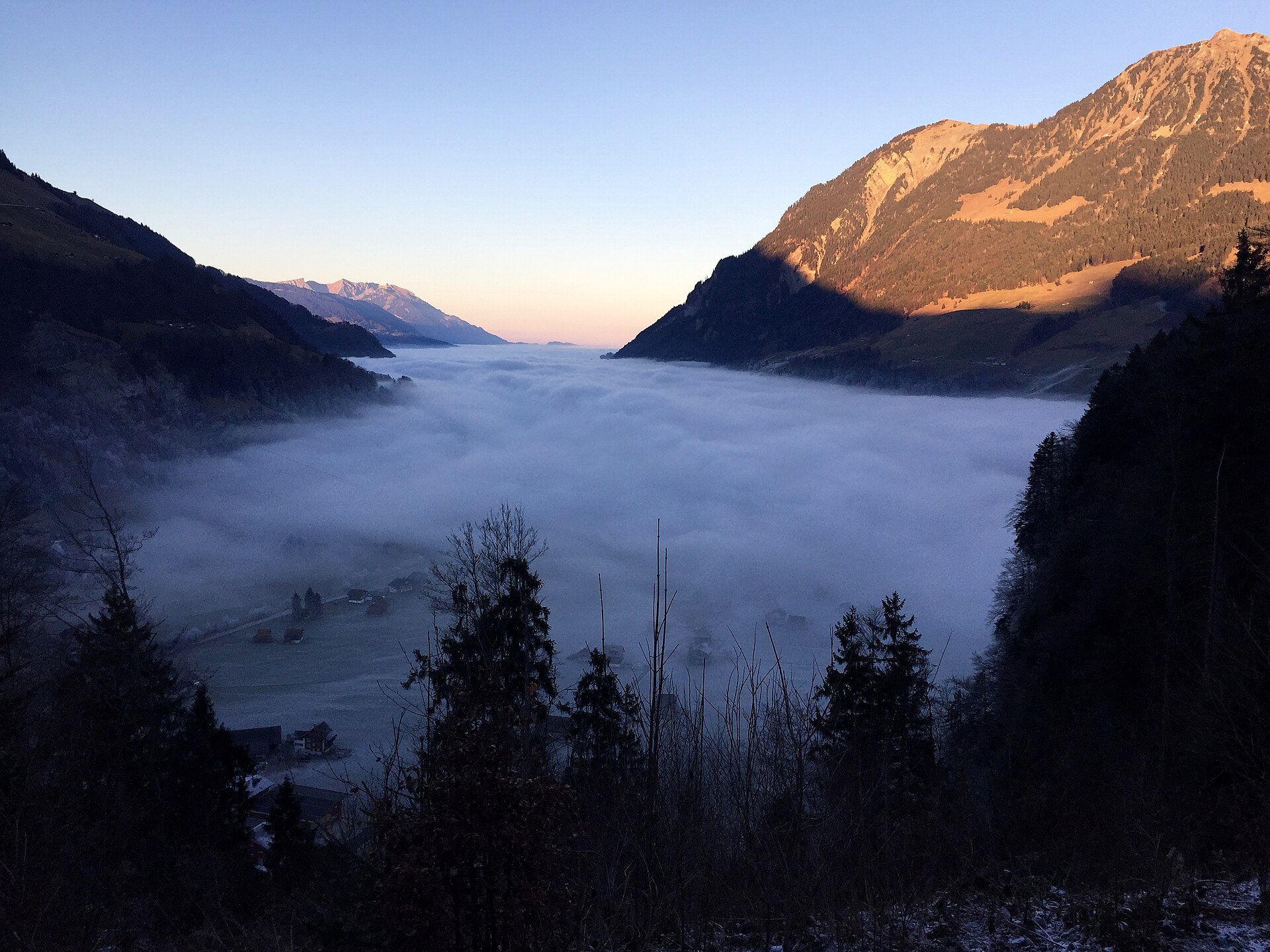
A delightful and scenic downhill hiking trail linking the historic Brünig Pass with the turquoise-blue shores of Lake Lungern (Lungerersee). Winding through fragrant pine forests, historic alpine hamlets, and sun-drenched dairy meadows, the route offers gorgeous downward vistas across the Lungern valley basin and the surrounding Central Swiss pre-Alps.
Brunni to Ristis Panorama Trail
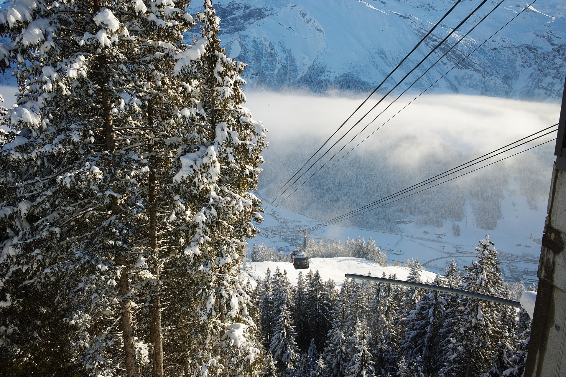
A sun-drenched, family-friendly panoramic trail perched on the south-facing sunny terrace of Engelberg (Brunni). Known as Engelberg's sunny side, the route connects the Brunni alpine station with Ristis, winding past fragrant pine forests, sparkling mountain tarns (Henniboden), and open dairy pastures with monumental, uninterrupted views of Titlis and the towering limestone rock faces of the Uri Alps.
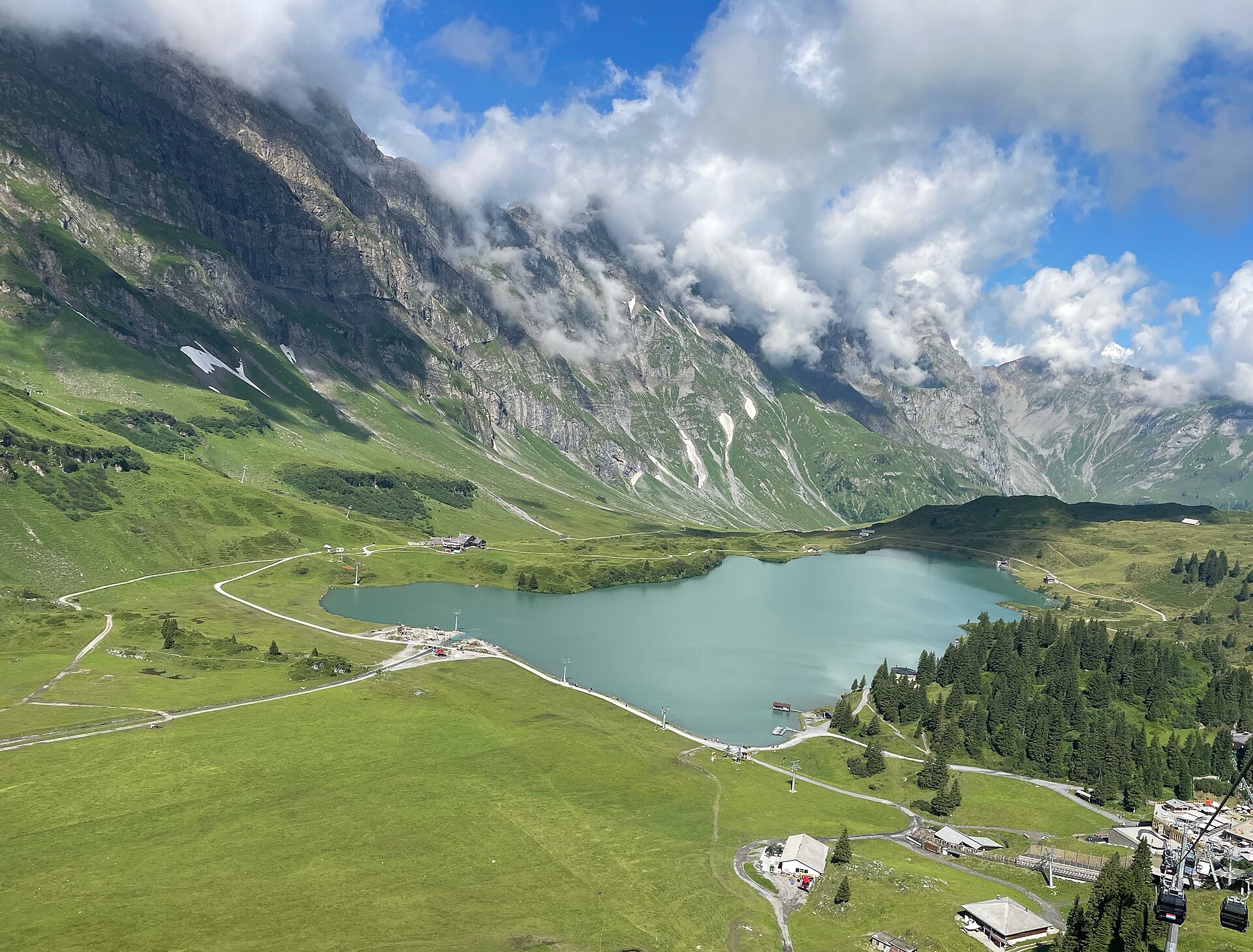
Engelberg to Trübsee Alpine Trail
A classic and highly rewarding alpine ascent following rushing glacial streams and blooming dairy pastures from the mountain resort of Engelberg up to the shimmering alpine reservoir of Lake Trübsee. Flanked by the towering limestone walls of the Titlis massif and surrounding Uri Alps, the trail offers a magnificent blend of shaded forest tracks and open sun-drenched plateau paths.
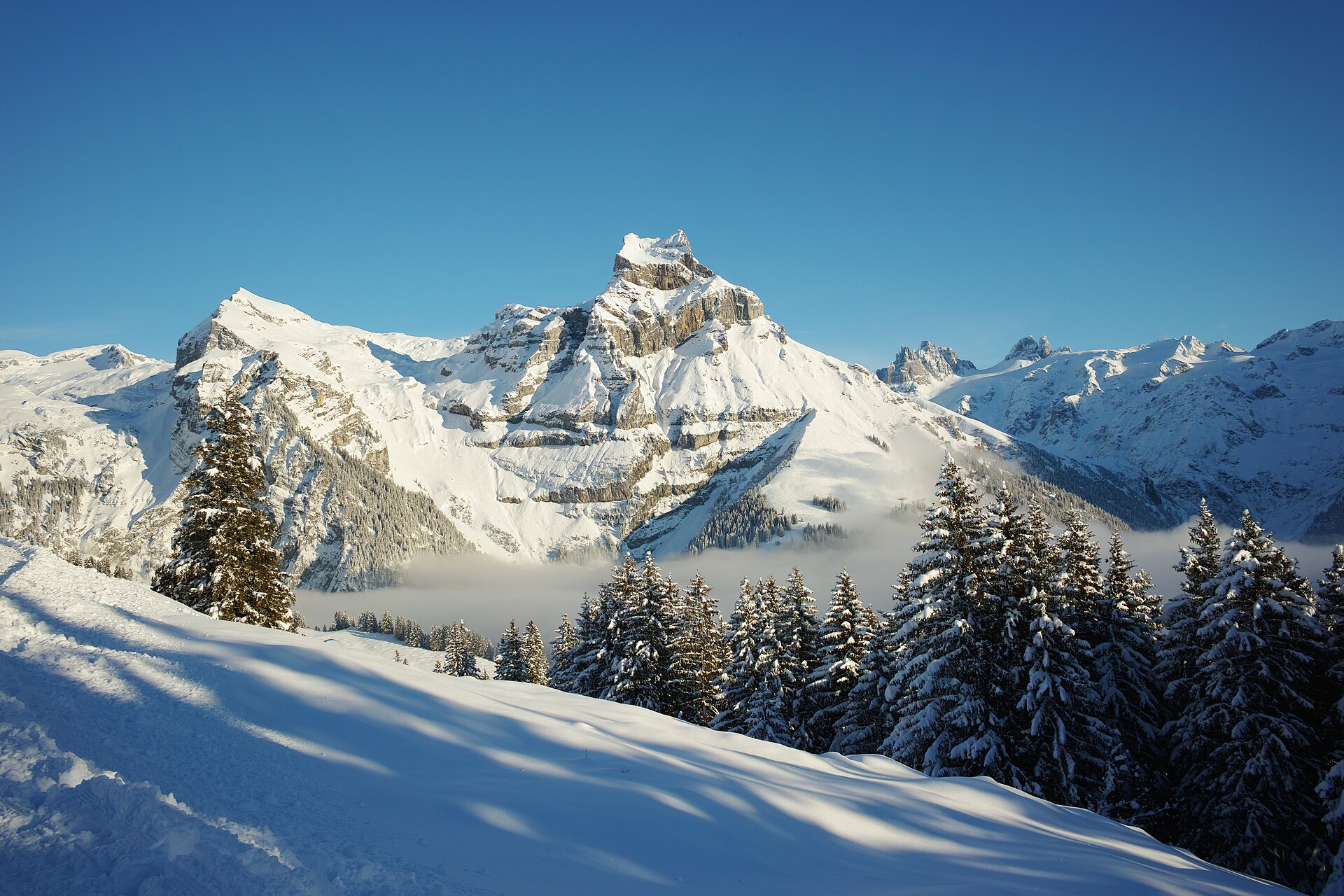
Fürenalp and the Waterfall above Engelberg
A high alp reached by a small cable car, with a waterfall and a view of the Titlis.
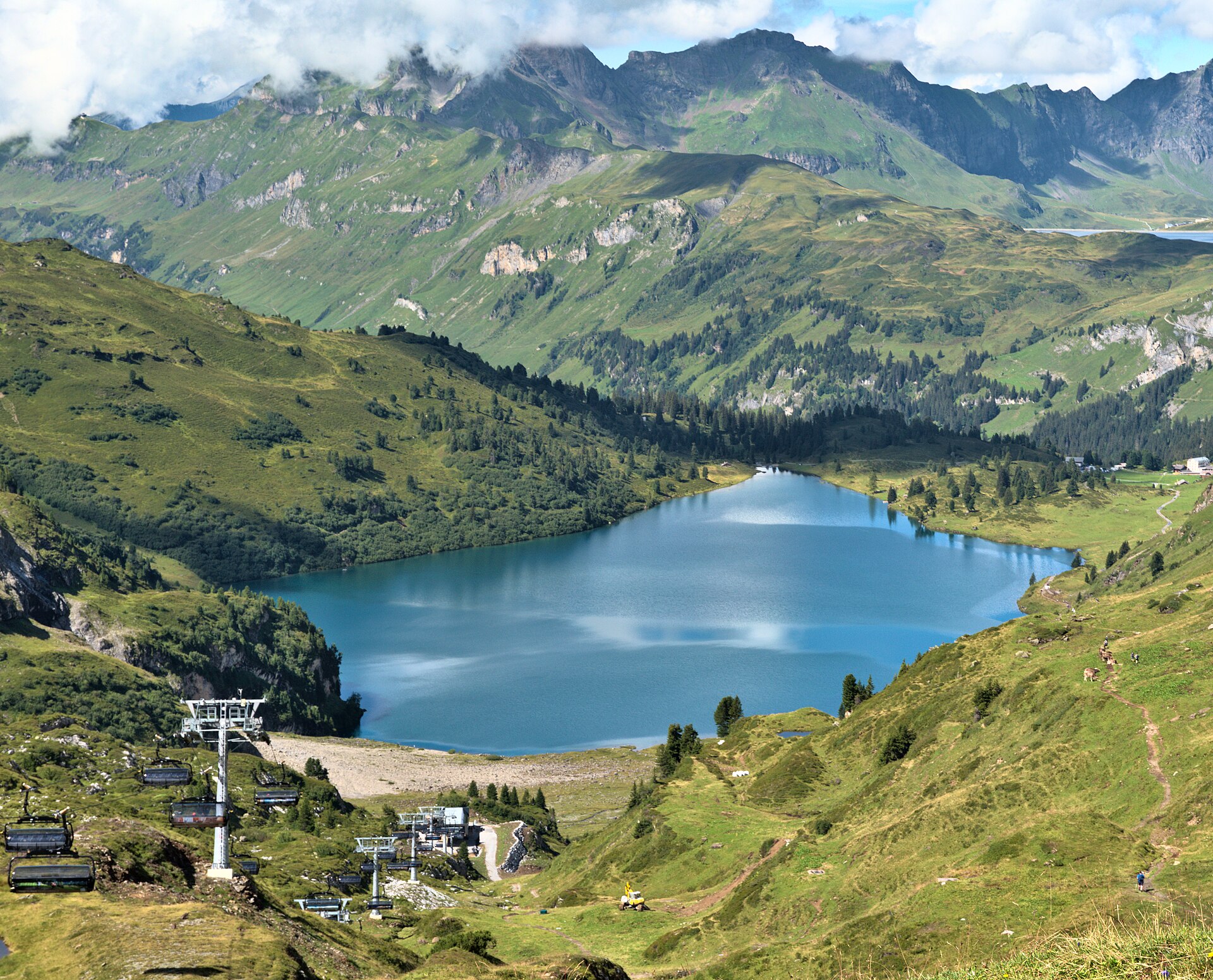
Jochpass to Engstlensee and Engstlenalp
A pass walk from Engelberg to a lake on the Bernese side, with a historic hotel at the end.