
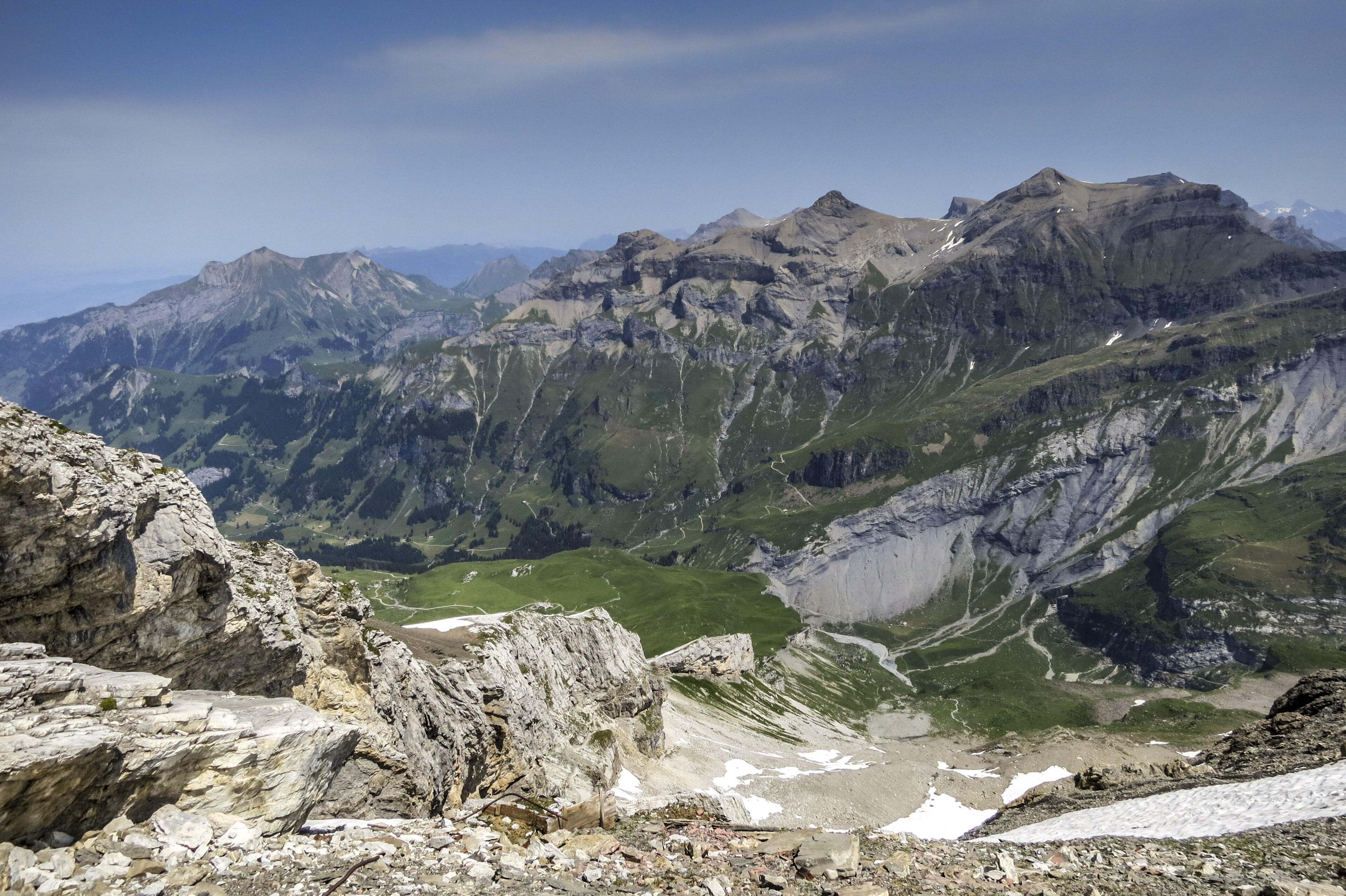
Hohtürli Pass & Blüemlisalp High Trail
One of the most dramatic and legendary high-alpine pass crossings in the Swiss Alps. Linking Kandersteg (via Oeschinensee) with the Kiental valley across the formidable Hohtürli Pass (2,778 m), the trail winds directly beneath the hanging glaciers and sheer ice cliffs of the Blüemlisalp massif, passing the renowned Blüemlisalp Hut (SAC) before descending toward the dazzling turquoise waters of Lake Oeschinen. ---
- Distance
- 15 km
- Duration
- 8.5 h
- Ascent
- 1'400 m
- Difficulty
- Hard
At a glance
5/5
5/5
2/5
Jun – Oct
Route
The route, step by step
- 1
Stage 1: Kandersteg to Oeschinensee Lake Shore
From Kandersteg cable car station, follow the signposted mountain trail descending slightly past pine forests to the shores of Oeschinensee. (2.5 km, +180 m / -20 m)
- 2
Stage 2: Ascent to Blüemlisalp Hut SAC
Climb the steep, engineered high-alpine switchback trail ascending past rock moraines directly to the Blüemlisalp Hut at 2,834 m. (4.0 km, +1,050 m / -40 m)
- 3
Stage 3: Pass Crossing & Descent via Hohtürli to Kiental
Traverse the Hohtürli Pass saddle and descend via steep scree paths down toward the Kiental valley (or return via Oeschinensee). (5.0 km, +40 m / -1,350 m)
Elevation profile
Plan your day
Getting there & logistics
- Start
- SBB train to Kandersteg station, then take the local bus or walk to Oeschinensee cable car station.
- Finish
- Return via same route or loop connection
- Parking
- Drive via Spiez and Kander Valley to Kandersteg. Park at the large multi-story parking garage at Oeschinensee cable car station (CHF 8.00/day).
Before you leave, check
- Is the lift, boat or railway running today, and when is the last one down?
- Forecast for morning and afternoon (MeteoSwiss), and any storm warnings.
- Trail status: snow, rockfall or closures (local tourist office or lift operator).
- Last public transport home, and your plan if you miss it.
- Hut or restaurant opening days, and whether you need a reservation.
What this day costs
- Mountain lift, cable car or cogwheel train: usually the biggest cost of the day. Ask for the return fare and check pass discounts.
- Train and PostBus fares to the start and home from the end. A Half Fare Card halves most of these.
- Parking, if you drive: day rates vary by place and season, and some car parks fill early.
- Food and drink: mountain restaurants cost noticeably more than the valley. A picnic cuts the day cost sharply.
- Entry fees where they apply, for example caves, gorges or lakeside facilities.
Plan B if the weather turns
Visit the Kandersteg village and the Blausee nature park.
Good to know
- Rainy day
- Check local weather forecasts and mountain railway operational schedules before departure.
- With kids
- Not recommended for children or beginners.
- Dogs
- Not suitable for most dogs because of ladders and ropes.
Stay & rest
Rest options & mountain huts
Panoramic Picnic Spot
Blüemlisalp Hut Outdoor Terrace — Stone picnic tables perched directly beneath hanging glacier walls.
Supermarket Prep
Coop or Volg Kandersteg village center before starting the ascent.
On-Trail Mountain Inn
**Blüemlisalphütte SAC** — Famous for hearty mountaineer soups, hot tea, and freshly baked cakes.
Where to stay
Budget – Blüemlisalp Hut SAC
Iconic high-alpine mountain refuge perched at 2,834 m offering dormitory lodging and unmatched glacier sunrise views.
Mid-Range – Hotel Oeschinensee
Charming alpine lodge located right by the lake shore.
We may earn a commission from bookings made through this link.
Gear
Essential trail gear
For this hike
- Sturdy hiking boots
- Windproof shell jacket
- Water bottle (1.5L)
Always
- First aid kit
- Alpine emergency blanket
- Swiss topographic map / Komoot
Background
Route notes
One of the most dramatic and legendary high-alpine pass crossings in the Swiss Alps. Linking Kandersteg (via Oeschinensee) with the Kiental valley across the formidable Hohtürli Pass (2,778 m), the trail winds directly beneath the hanging glaciers and sheer ice cliffs of the Blüemlisalp massif, passing the renowned Blüemlisalp Hut (SAC) before descending toward the dazzling turquoise waters of Lake Oeschinen. ---
Nearby hikes
- Aebi to Oeschinensee High Panorama Trail – Bernese Oberland, BE
- Oeschinensee Lake Loop – Kandersteg, BE
- Fründenhütte above the Oeschinensee – Kandersteg, BE
Where to stay nearby
- Altstadt Boutique, Bern – Bern, BE
Experiences near this hike
We may earn a commission from bookings made through this link.
 Sponsoredfrom CHF 199Sponsoredfrom CHF 89Sponsoredfrom CHF 99
More things to do nearby
We may earn a commission from bookings made through this link.
Browse experiences on GetYourGuideDid you know?
You might also like
 Featured
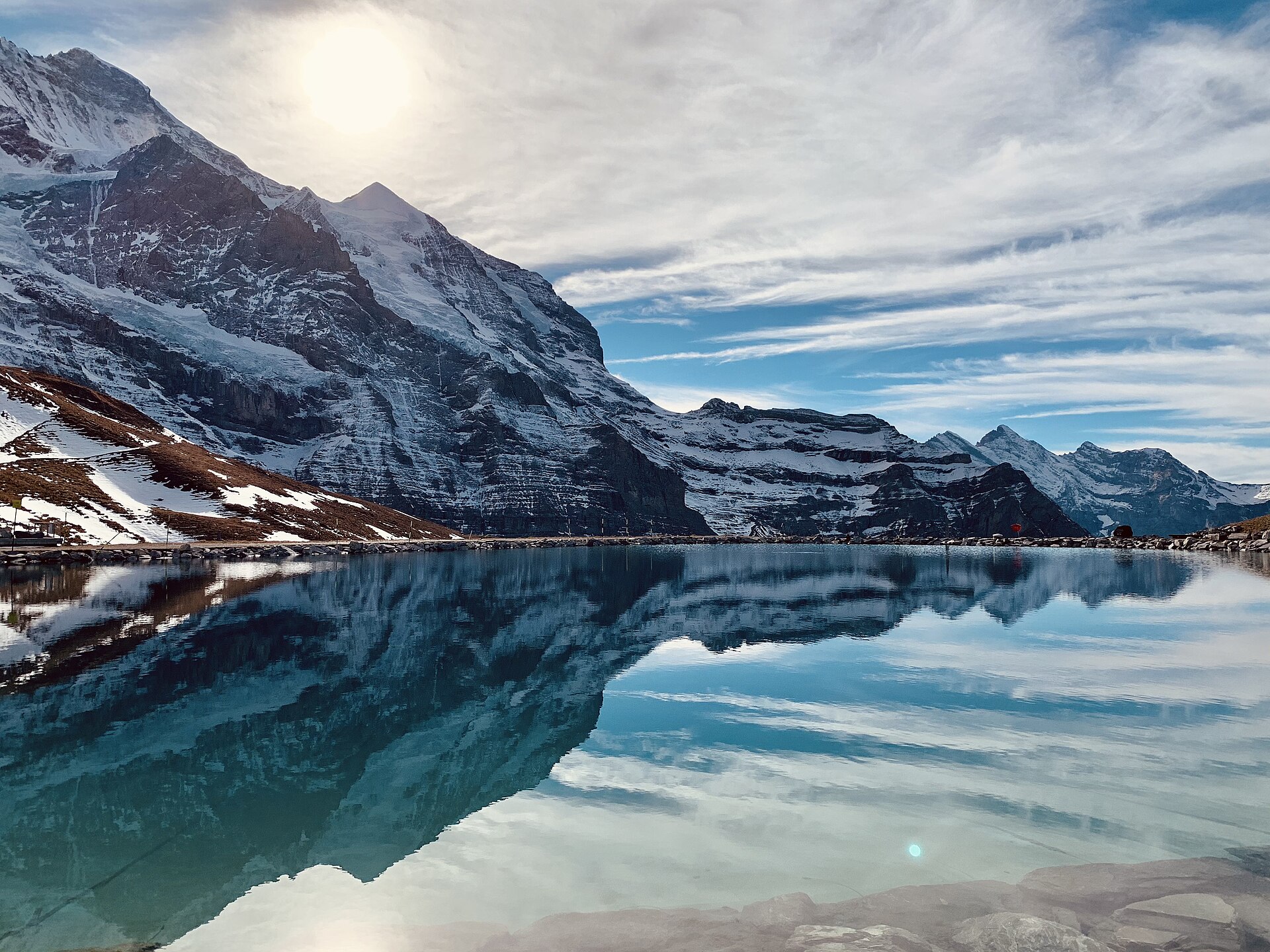
Eiger Trail: Eigergletscher to Alpiglen
A world-famous alpine traverse running directly along the base of the iconic Eiger North Face (Nordwand). Starting at the Eigergletscher station (2,320 m), the downhill trail tracks beneath the staggering 1,800-meter sheer limestone wall where legendary mountaineering history was written. The route offers unobstructed views over the Grindelwald valley, the Grosse Scheidegg pass, and the jagged Wetterhorn and Schreckhorn peaks.
 Featured
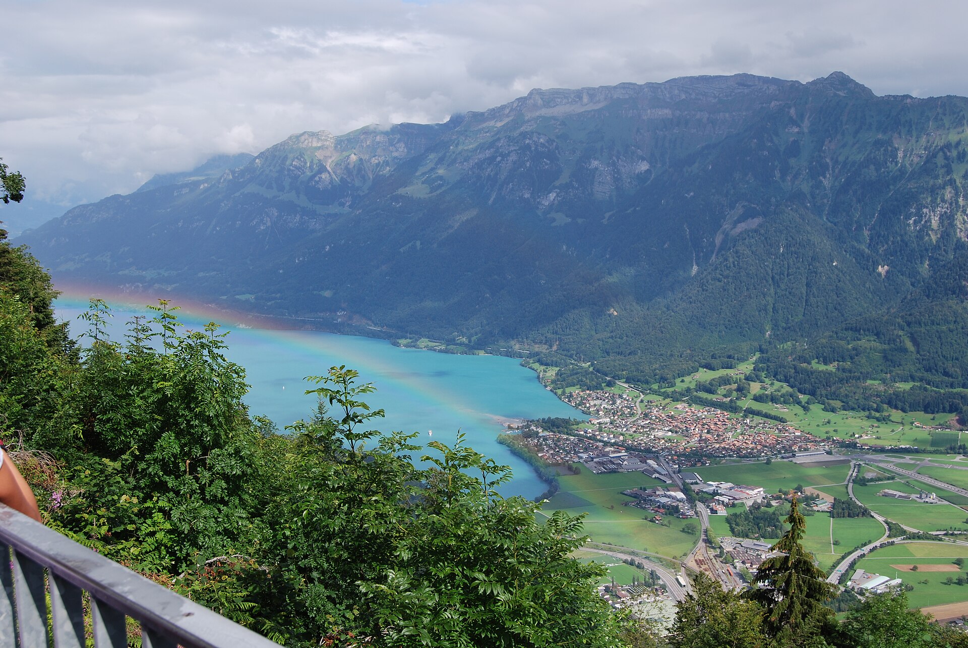
Hardergrat Ridge Traverse
Switzerland's most famous and thrilling knife-edge alpine ridge traverse.
 Featured
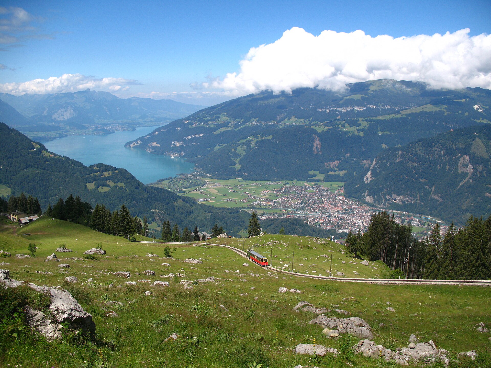
Schynige Platte Panorama Trail
A short, easy 5 km ridge loop reached by a wooden cogwheel train, facing the Eiger, Mönch and Jungfrau.
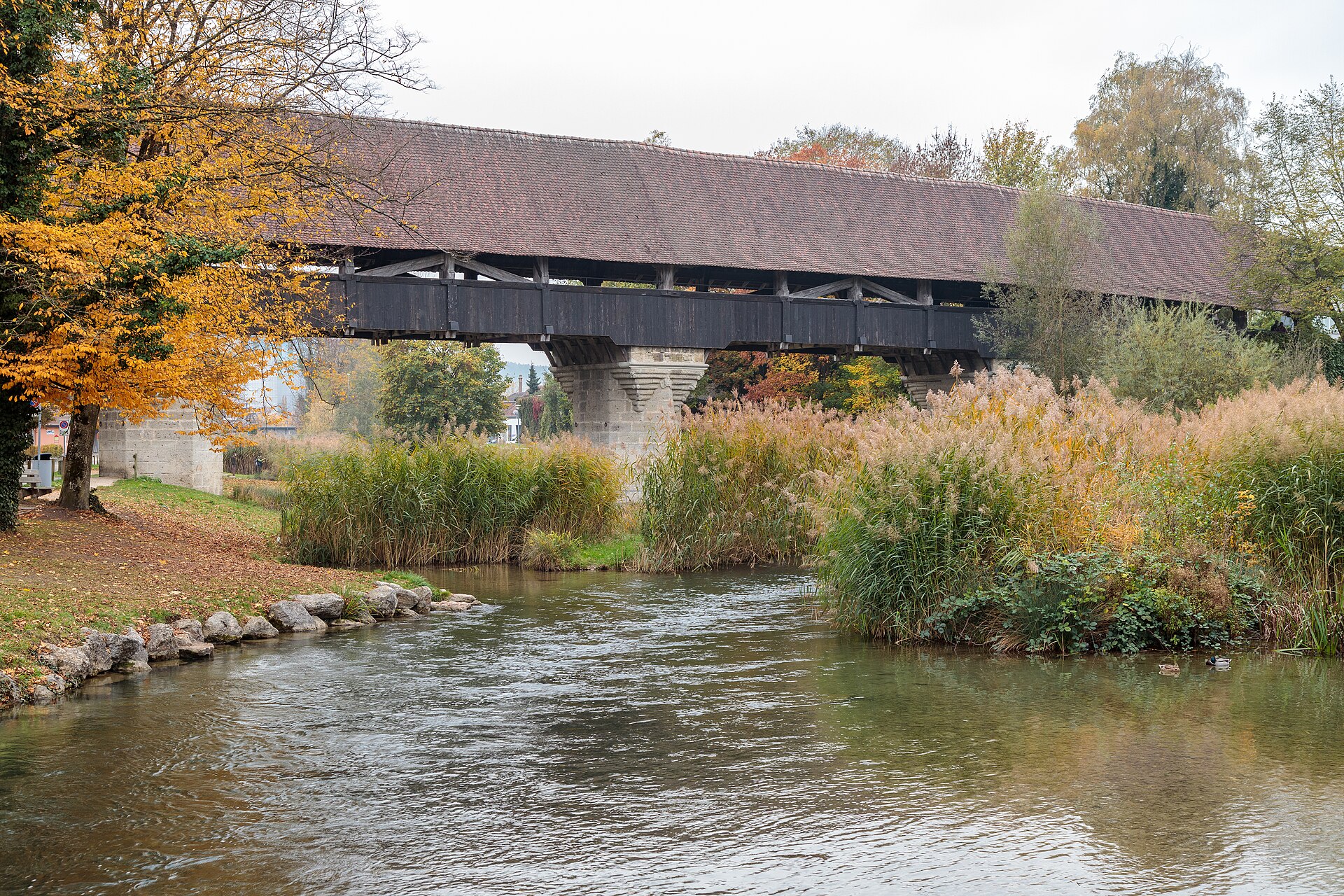
Aarberg and the Aare Canal
A town on an island with a covered wooden bridge, and a canal path through farmland.
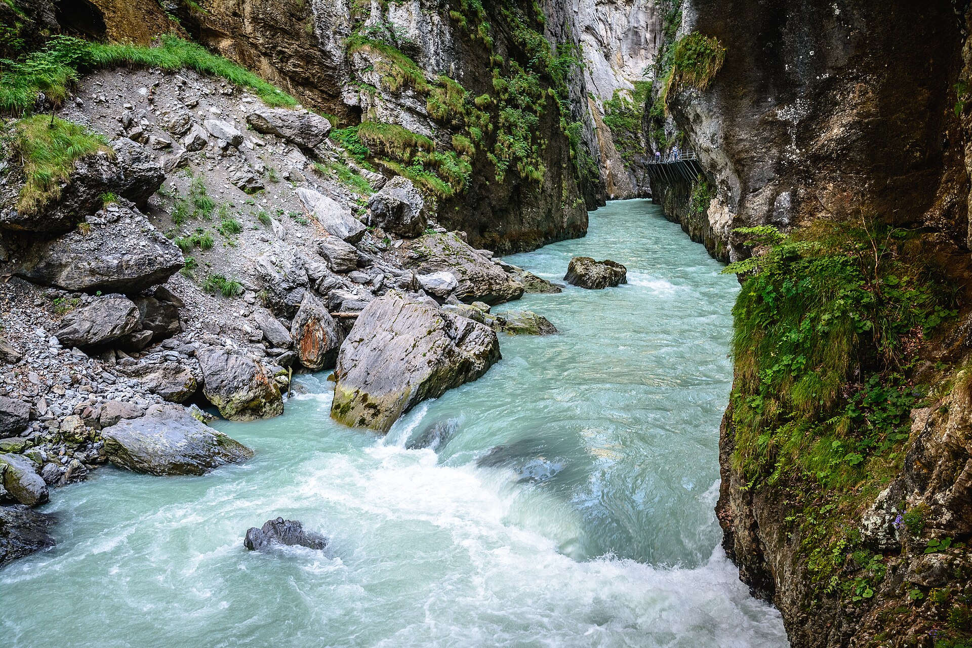
Aare Gorge and Meiringen
A narrow limestone gorge with a walkway cut into the cliff.
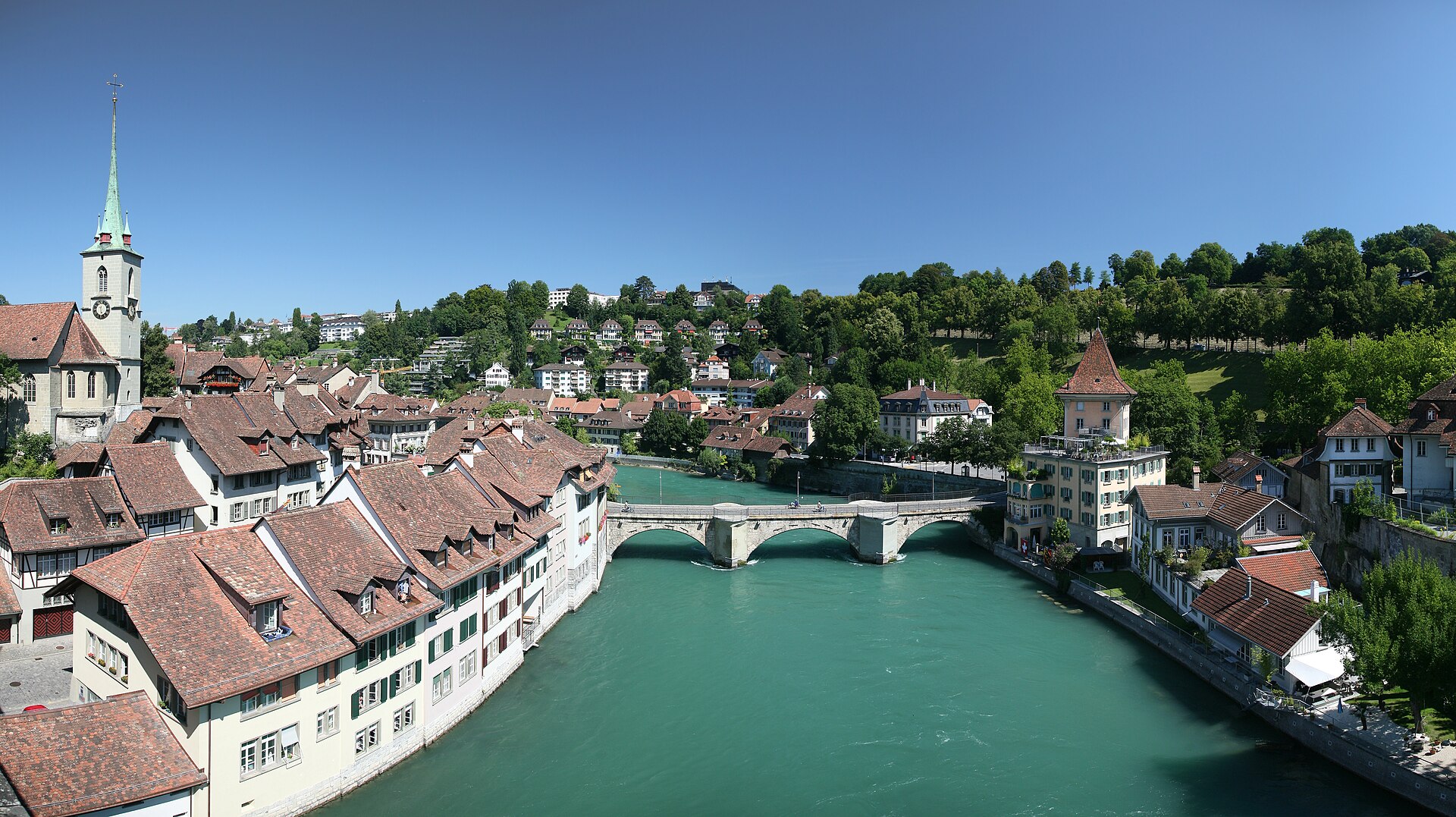
Aare River Walk in Bern, Marzili to Eichholz
A river walk through the capital, with a swim stop if you dare.