
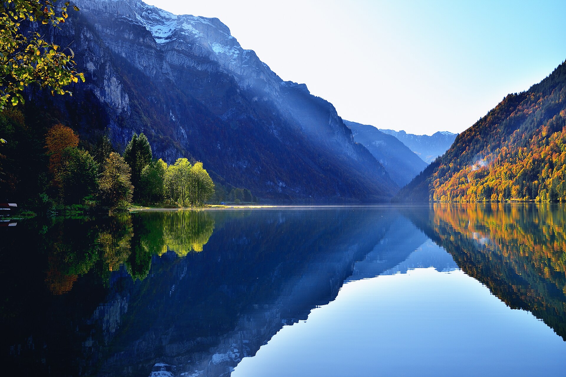
Klöntalersee Lake Loop
The Klöntalersee is a reservoir in a side valley of the Glarnerland, with the Glärnisch massif rising straight from its southern shore. The water is deep green, and in calm weather the mountain walls reflect in it. Most visitors come for a short stop, but the loop path circles the whole lake. The path is wide and mostly level, with a few small climbs and many benches. It is a quiet walk on weekdays and a family favourite at weekends. In summer the water is cold but swimmable in places. SAC T1: T1 Hiking: marked yellow trail, no real exposure
- Distance
- 10 km
- Duration
- 2.8 h
- Ascent
- 150 m
- Difficulty
- Easy
At a glance
2/5
4/5
3/5
May – Oct
Route
The route, step by step
- 1
Start at the lake
Start at the car park by the dam end and follow the lake path.
- 2
North shore
A wide path follows the shore with views of the Glärnisch.
- 3
Head of the lake
Cross the inflow area at the western end.
- 4
South shore
Return along the opposite shore to the start.
Elevation profile
Choose your version
Short
Walk the north shore to the head of the lake and return, about 1.5 hours.
Classic
Walk the full loop, about 3 hours.
Extended
Add the Richisau valley for a quieter extension.
Plan your day
Getting there & logistics
- Start
- From Glarus take the PostBus to Klöntal (seasonal). Check the timetable.
- Finish
- Drive from Glarus to the Klöntalersee, about 15 minutes.
- Parking
- Several paid car parks around the lake.
Before you leave, check
- Is the lift, boat or railway running today, and when is the last one down?
- Forecast for morning and afternoon (MeteoSwiss), and any storm warnings.
- Trail status: snow, rockfall or closures (local tourist office or lift operator).
- Last public transport home, and your plan if you miss it.
- Hut or restaurant opening days, and whether you need a reservation.
What this day costs
- Train and PostBus fares to the start and home from the end. A Half Fare Card halves most of these.
- Parking, if you drive: day rates vary by place and season, and some car parks fill early.
- Food and drink: mountain restaurants cost noticeably more than the valley. A picnic cuts the day cost sharply.
- Entry fees where they apply, for example caves, gorges or lakeside facilities.
Plan B if the weather turns
Visit the Glarus old town or the Landesplattenberg slate mine.
Good to know
- Rainy day
- Visit the Glarus old town or the Landesplattenberg slate mine.
- With kids
- A very easy family walk with space to play.
- Dogs
- Allowed on lead.
Stay & rest
Rest options & mountain huts
Lakeside restaurants
A couple of simple places, check opening days.
Glarus cafes
A choice of places in the town.
Picnic spots on the shore
Benches and flat grass.
Where to stay
Upscale – Grand Resort Bad Ragaz
A spa resort, about 1 hour away.
We may earn a commission from bookings made through this link.
Gear
Essential trail gear
For this hike
- Light hiking shoes
- Swimsuit
- Sun cream
- Rain layer
- Water and a picnic
Always
- Sturdy hiking shoes with real tread (trainers only on the flattest routes)
- Water, at least 1 to 1.5 litres per person, more in summer
- Rain shell and one warm layer, even on a sunny morning
- Sun cream, hat and sunglasses (UV rises about 10% per 1,000 m)
- Snacks or a picnic and some cash in coins and small notes
- Phone with offline map (SwissTopo or Komoot), power bank, ID
- Small first-aid kit: plasters, blister tape, painkillers
Background
The story
The lake was formed by a prehistoric landslide and later enlarged into a reservoir for hydropower.
Taste it
Glarner Pastete, a local pastry, or Schabziger herb cheese.
Route notes
The Klöntalersee is a reservoir in a side valley of the Glarnerland, with the Glärnisch massif rising straight from its southern shore. The water is deep green, and in calm weather the mountain walls reflect in it. Most visitors come for a short stop, but the loop path circles the whole lake. The path is wide and mostly level, with a few small climbs and many benches. It is a quiet walk on weekdays and a family favourite at weekends. In summer the water is cold but swimmable in places. SAC T1: T1 Hiking: marked yellow trail, no real exposure
Nearby hikes
- Lungerersee Lake Loop – Lungern, OW
- Blausee and the Kander Valley Path – Kandersteg, BE
- Lauenensee Loop near Gstaad – Lauenen, BE
More things to do nearby
We may earn a commission from bookings made through this link.
Browse experiences on GetYourGuideDid you know?
You might also like
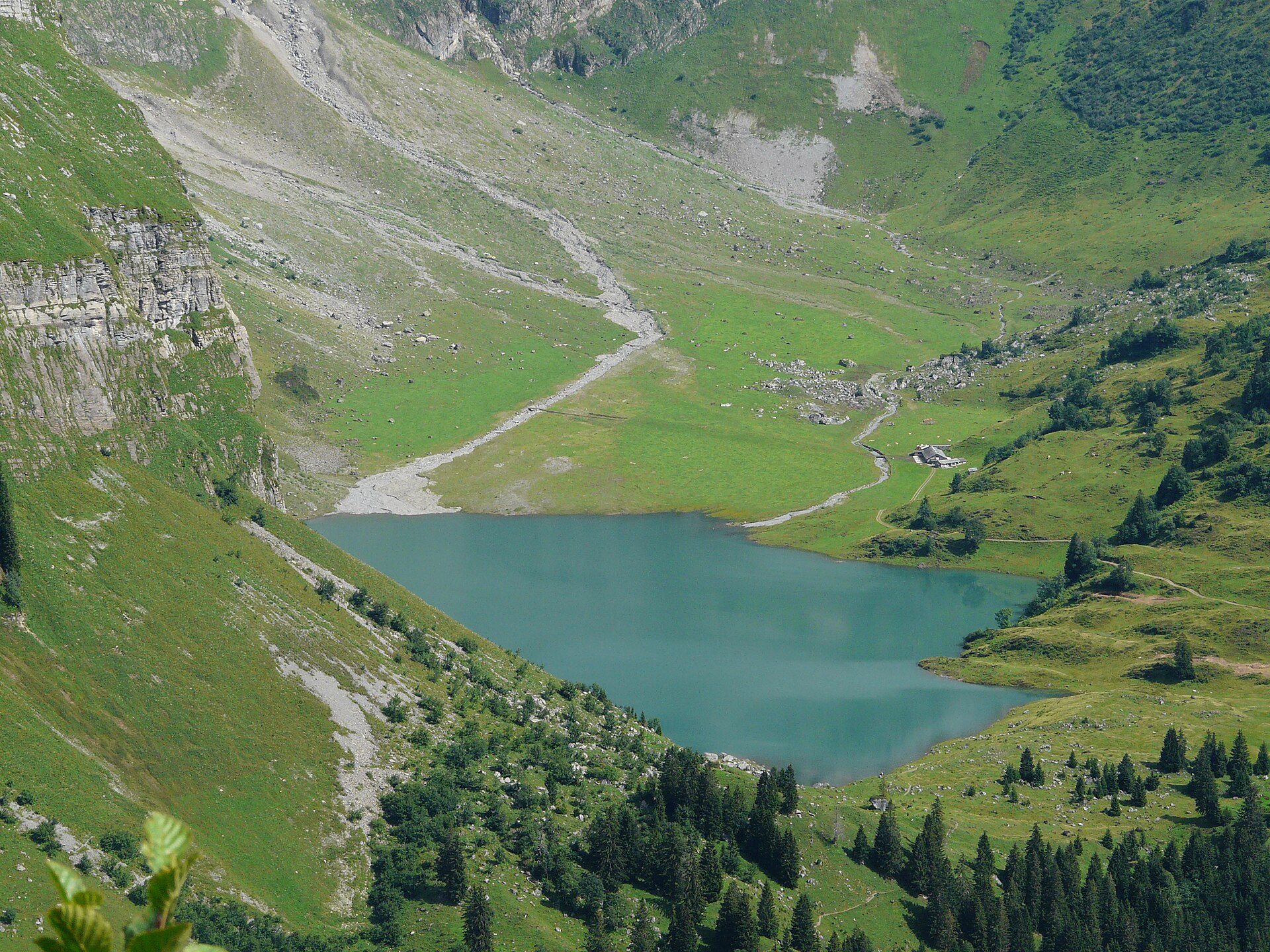
Braunwald and the Oberblegisee
A car-free mountain terrace village and a high lake under limestone walls.
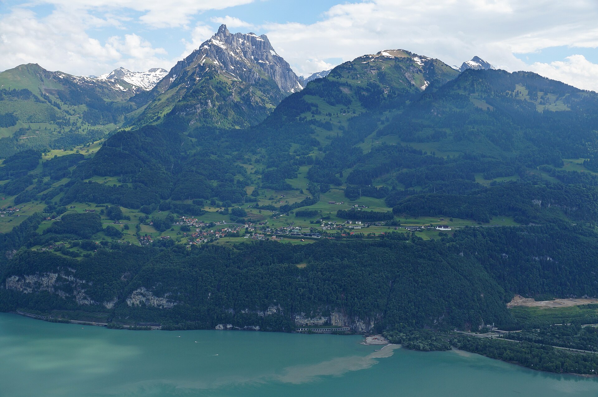
Kerenzerberg Panorama Walk above the Walensee
A terrace walk above the Walensee, with the Churfirsten wall across the water.
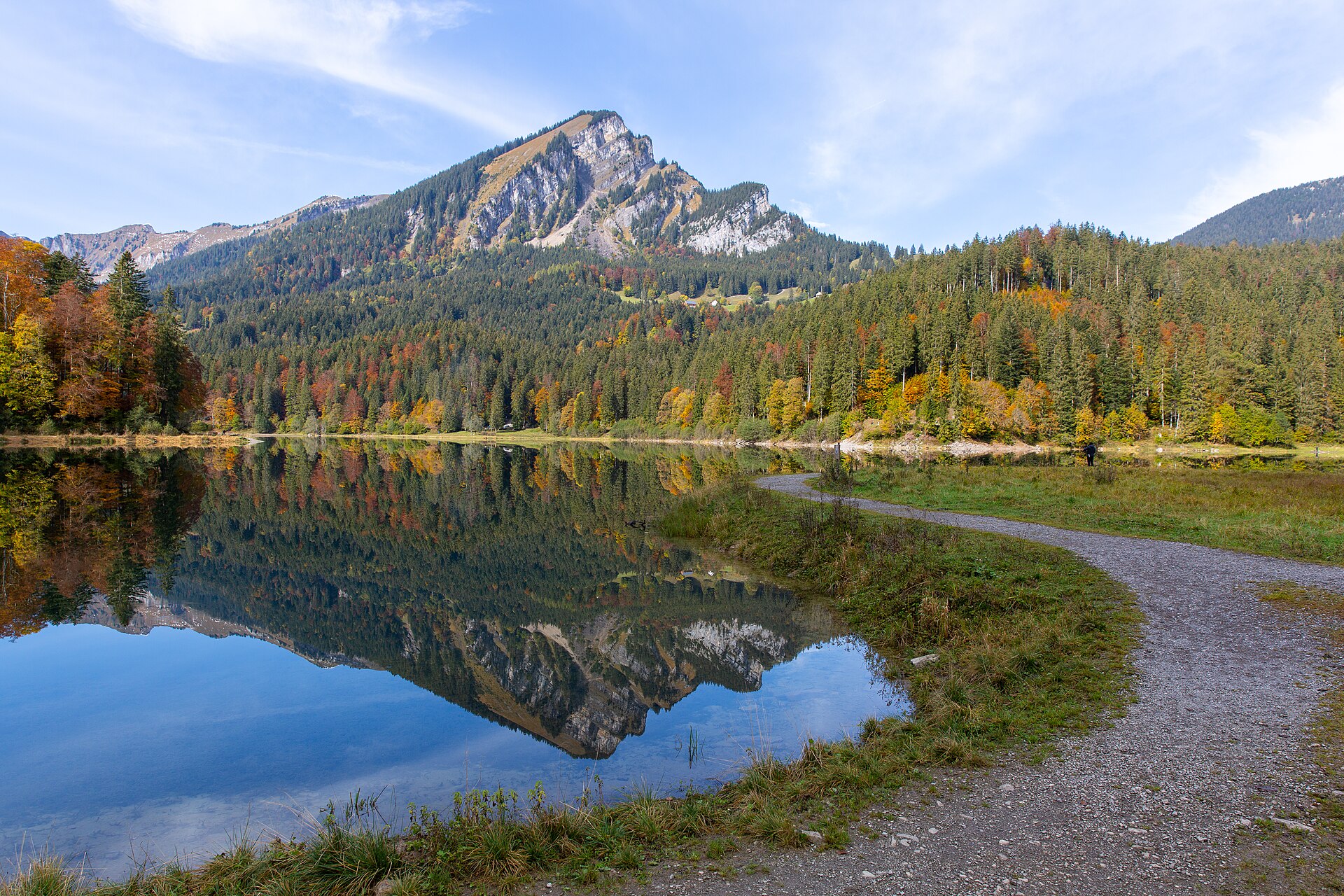
Obersee near Näfels
A small lake under the Mürtschen peaks, with a flat loop and a Baroque palace nearby.
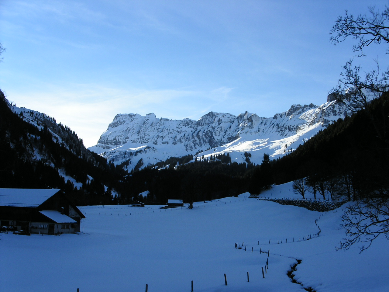
Pragelpass from Richisau
A wild high pass between two cantons, through a protected landscape.