
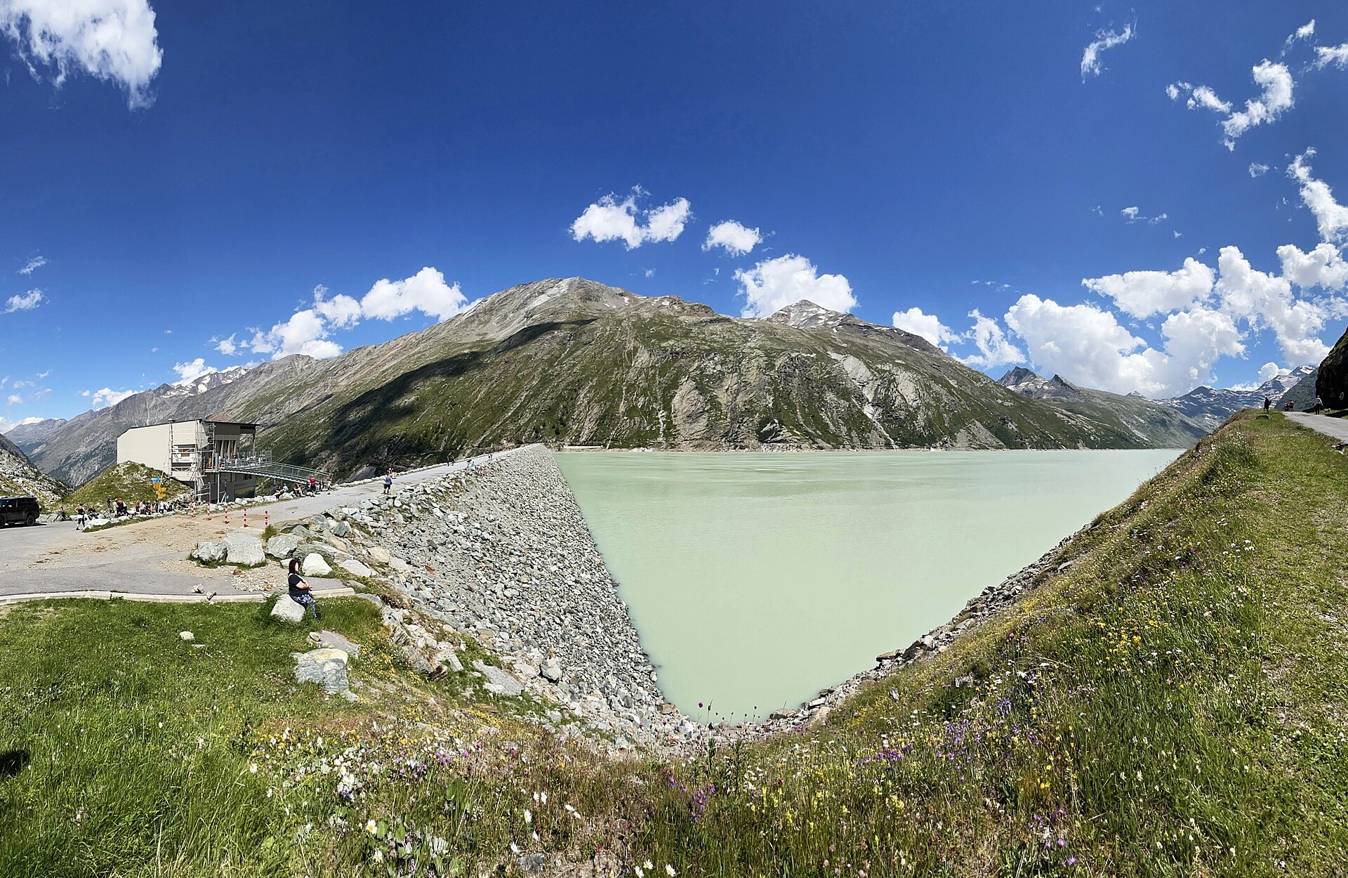
Lake Mattmark Circuit
Lake Mattmark sits at 2,197 m behind one of the largest earth-fill dams in Europe, the valley lined with high peaks that the water reflects on still mornings. Most visitors to the Saas valley head for Saas-Fee, so Mattmark stays calm. The dam also has a quieter history: in 1965 a huge piece of the Allalin glacier fell on the construction site and killed 88 workers, and a memorial near the dam remembers them. The loop around the lake is easy and mostly flat, with wide tracks and a few short climbs.
- Distance
- 8 km
- Duration
- 2.5 h
- Ascent
- 150 m
- Difficulty
- Easy
Route
The route, step by step
- 1
Mattmark dam
Start on the dam crest. The views up the valley open straight away.
- 2
West shore
A wide track follows the western side. Pasture, rocks and the odd marmot.
- 3
Head of the lake
Cross a bridge at the southern end and turn back on the other side.
- 4
East shore and memorial
Return along the east bank. Pause at the memorial near the dam.
Elevation profile
Plan your day
Getting there & logistics
- Start
- From Visp take the PostBus to Saas-Almagell, about 50 minutes, then the local bus up to Mattmark in summer; the bus up to the dam is seasonal, so check the schedule. Start on the dam crest, where the views up the valley open straight away.
- Finish
- The route is a loop: follow the west shore, cross a bridge at the southern head of the lake, return along the east bank and pause at the memorial near the dam.
- Parking
- There is a large paid car park at the dam that fills on warm weekends. By car, drive from Visp up the Saas valley to Saas-Almagell and continue to Mattmark, about 1 h.
Good to know
- Rainy day
- Visit the Saas Museum in Saas-Fee or the spa in the village.
- With kids
- Easy and safe, with open space for picnics.
- Dogs
- Allowed on lead.
Stay & rest
Rest options & mountain huts
Restaurant at the dam
Seasonal; check opening days before you go.
Saas-Almagell village
Several restaurants and cafés in the valley.
Picnic on the east shore
Benches and flat rocks facing the water.
Where to stay
Budget – Youth Hostel Saas-Fee
A good value, clean hostel with views of the glaciers.
Mid-range – Hotel Beau-Site
A friendly four-star hotel in the car-free village of Saas-Fee.
Upper tier – Ferienart Resort & Spa
A large spa hotel in the centre of Saas-Fee.
We may earn a commission from bookings made through this link.
Gear
Essential trail gear
- Light hiking shoes are enough on these wide, flat tracks.
- A warm layer, as the valley stays cool.
- Sun cream and binoculars for marmots and ibex.
- Snacks and water for the loop.
For this hike
- Light hiking shoes.
- Warm layer, the valley is cool.
- Sun cream.
- Binoculars for marmots and ibex.
- Snacks and water.
Always
- Sturdy hiking shoes with real tread (trainers only on the flattest routes).
- Water, at least 1 to 1.5 litres per person, more in summer.
- Rain shell and one warm layer, even on a sunny morning.
- Sun cream, hat and sunglasses (UV rises about 10% per 1,000 m).
- Snacks or a picnic and some cash in coins and small notes.
- Phone with offline map (SwissTopo or Komoot), power bank, ID.
- Small first-aid kit: plasters, blister tape, painkillers.
Background
Route notes
Start on the Mattmark dam crest, where the views up the valley open straight away, then follow the wide track along the western side past pasture, rocks and the odd marmot. Cross a bridge at the southern head of the lake and turn back on the other side, returning along the east bank and pausing at the memorial near the dam. Visit the memorial quietly, as it is a place of remembrance as well as a viewpoint, and come early for the best reflections. Take a few minutes on the dam crest at the start, since the view up the valley is the best of the day, and combine the walk with Saas-Fee for a second day on the glacier lifts. The circuit is easy and safe, with open space for picnics and children; dogs are allowed on a lead. On a rainy day visit the Saas Museum in Saas-Fee or the spa in the village.
Nearby hikes
- Five Lakes Walk, Zermatt – Zermatt, VS
- Mauvoisin Dam and Lake – Val de Bagnes, VS
- Vieux Emosson Dinosaur Tracks – Emosson, VS
Where to stay nearby
- Alpine Retreat, Zermatt – Zermatt, VS
Experiences near this hike
We may earn a commission from bookings made through this link.
 Sponsoredfrom CHF 99Sponsoredfrom CHF 120Sponsoredfrom CHF 95
More things to do nearby
We may earn a commission from bookings made through this link.
Browse experiences on GetYourGuideDid you know?
Jungfraujoch is Europe's highest railway station (3,454 m).
Politics & HistoryJ.R.R. Tolkien's 1911 walking tour of Switzerland heavily influenced the landscapes of The Lord of the Rings.
Geography & NatureGrande Dixence is the world's tallest gravity dam (285 m) and holds 400 million m³.
You might also like
 Featured
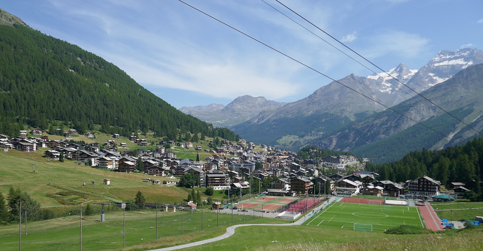
Mischabel Huts Approach
An extreme SAC T6 scramble above Saas-Fee up vertical ladders and iron rungs to the Mischabelhütte at 3,340 m.
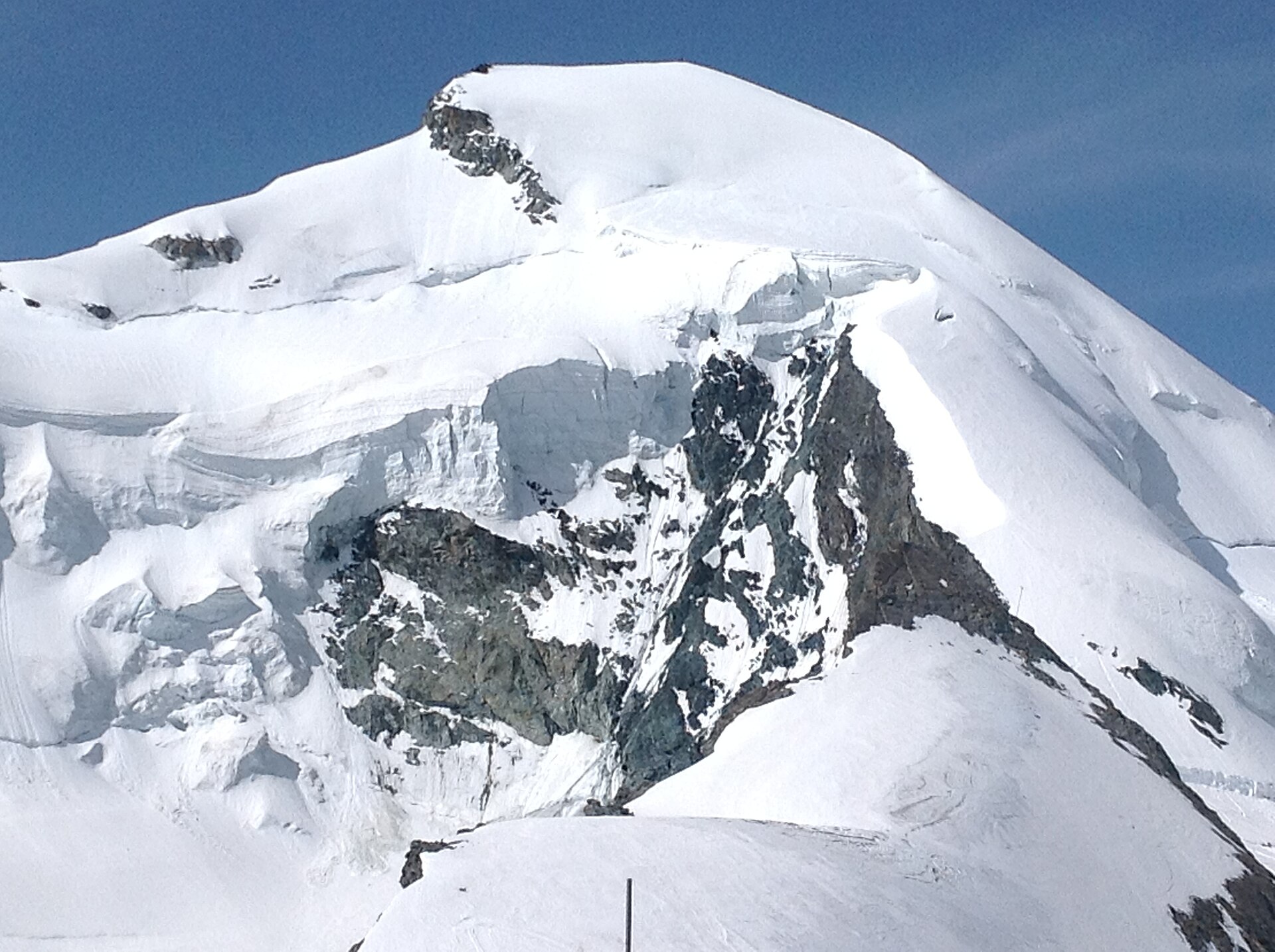
Allalinhorn Summit Trail (Saas-Fee)
One of the most accessible 4,000-meter peaks in the Swiss Alps, the Allalinhorn offers an unforgettable introduction to high-altitude glacier mountaineering without requiring technical rock-climbing skills. Starting from the Mittelallalin underground metro station at 3,456 m, the route traverses the Fee Glacier across crevasses and snowfields before a final straightforward snow ridge leads to the summit cross at 4,027 m, surrounded by an endless sea of Valais giants.
 Sponsored
Alpine Retreat, Zermatt
A design mountain lodge with Matterhorn views.
We may earn a commission from bookings made through this link.
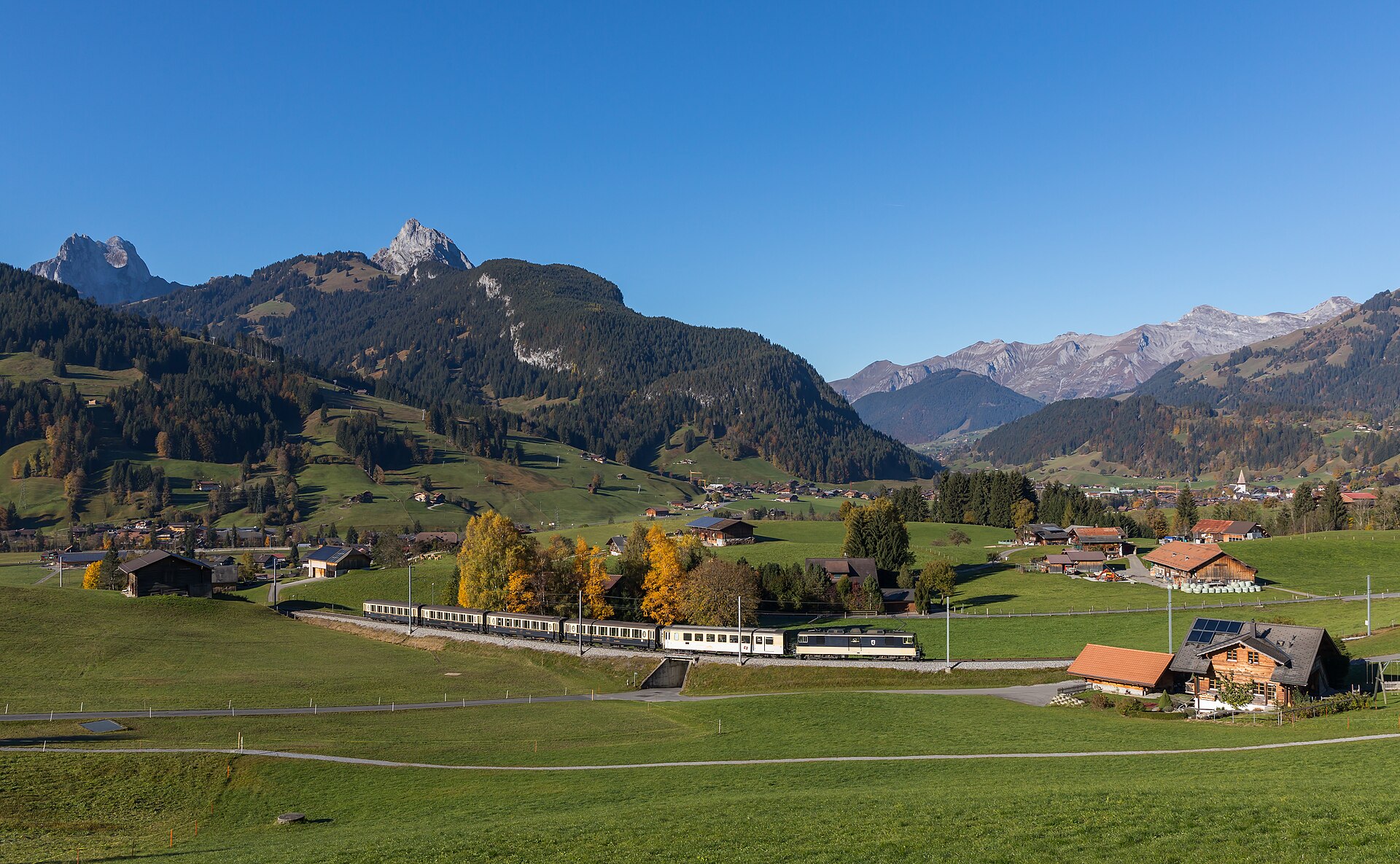 Featured
Barrhorn Alpine Ascent
Conquer Europe's highest officially marked hiking summit without ropes or glaciers.
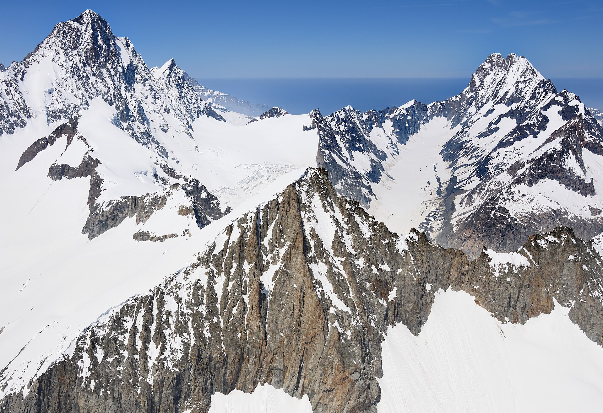
Äugststafel to Gemmipass High Trail
A dramatic high-alpine mountain traverse high above the Leukerbad thermal resort basin, linking Äugststafel with the historic Gemmipass hotel and cable car station. The trail tracks along high limestone cliffs and grassy slopes offering jaw-dropping panoramic views across the Valais Alps, including the towering peaks of the Weisshorn and Mischabel group. This classic route bridges Bernese and Valaisian alpine landscapes with secure, well-maintained paths.
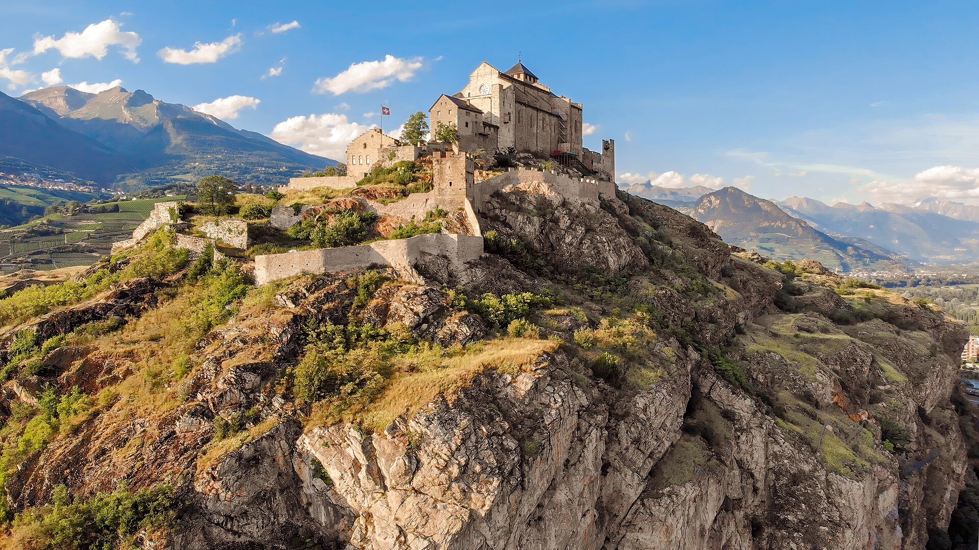
Agettes to Veysonnaz Historic Bisse Walk
A flat, gentle walking route following the contour lines of the historic Bisse de Vex along the sunny slopes of the Rhône Valley. Constructed in the 15th century to carry mountain meltwater to agricultural vineyards, the bisse canal path leads through fragrant larch and pine forests, across wooden footbridges, and past open clearings offering panoramic vistas toward Sion's historic castles and the Bernese Alps. The trail features practically zero incline, making it suitable for all ages and fitness levels.