
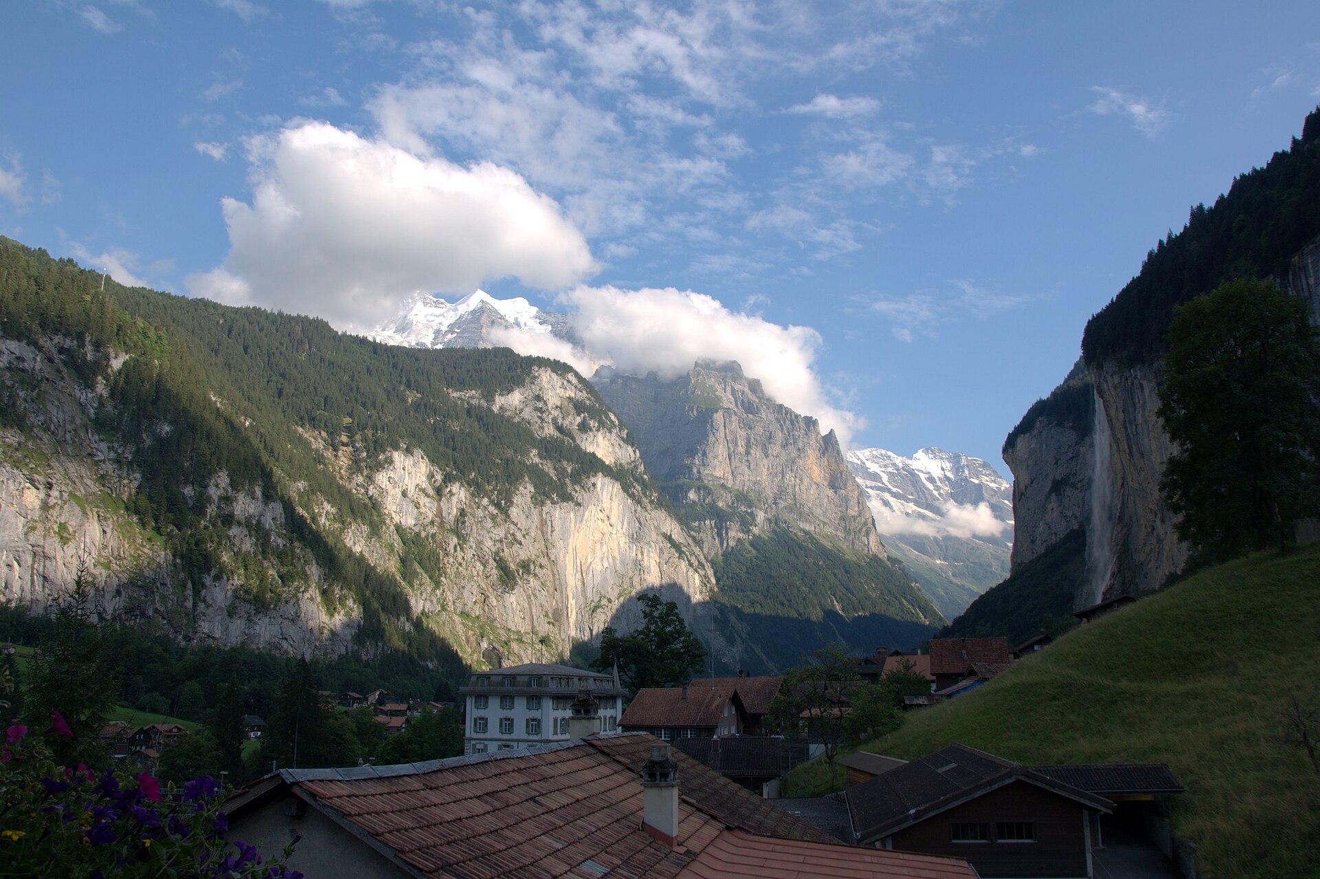
Lauterbrunnen Valley Waterfall Trail
A legendary and immensely accessible valley walk through the "Valley of 72 Waterfalls." Starting from Lauterbrunnen railway station, the flat, paved and gravel path winds alongside the rushing White Lütschine river beneath towering vertical limestone cliff walls, passing world-famous cascades including the roaring Staubbach Falls and the subterranean glacial clefts of Trümmelbach Falls. ---
- Distance
- 6.4 km
- Duration
- 3.5 h
- Ascent
- 820 m
- Difficulty
- Easy
At a glance
2/5
4/5
5/5
Apr – Nov
Route
The route, step by step
- 1
Stage 1: Lauterbrunnen Station to Staubbach Falls
From Lauterbrunnen railway station, follow signposted walking paths heading south past the village church toward the plummeting Staubbach Falls. (0.8 km, flat)
- 2
Stage 2: Lütschine River Path to Trümmelbach Falls
Wander along the peaceful pastoral valley path running beside the rushing river, passing alpine meadows and dramatic cliff overhangs to Trümmelbach Falls. (2.5 km, flat)
- 3
Stage 3: Valley Floor Walk to Stechelberg
Continue along the flat valley trail past cascading side streams and towering rock walls directly to the Stechelberg cable car terminus. (3.1 km, +40 m / -10 m)
Elevation profile
Plan your day
Getting there & logistics
- Start
- SBB train to Interlaken Ost, BOB regional train directly to "Lauterbrunnen" station. Return from Stechelberg via frequent local postbus lines.
- Finish
- Return via same route or loop connection
- Parking
- Drive via Interlaken up the Lauterbrunnen valley road. Park at the large multi-story parking garage at Lauterbrunnen station (CHF 15.00/day).
Before you leave, check
- Is the lift, boat or railway running today, and when is the last one down?
- Forecast for morning and afternoon (MeteoSwiss), and any storm warnings.
- Trail status: snow, rockfall or closures (local tourist office or lift operator).
- Last public transport home, and your plan if you miss it.
- Hut or restaurant opening days, and whether you need a reservation.
What this day costs
- Mountain lift, cable car or cogwheel train: usually the biggest cost of the day. Ask for the return fare and check pass discounts.
- Train and PostBus fares to the start and home from the end. A Half Fare Card halves most of these.
- Food and drink: mountain restaurants cost noticeably more than the valley. A picnic cuts the day cost sharply.
- Entry fees where they apply, for example caves, gorges or lakeside facilities.
Plan B if the weather turns
Trümmelbach is fully covered and best when it rains, since more water means bigger falls.
Good to know
- Rainy day
- Check local weather forecasts and mountain railway operational schedules before departure.
- With kids
- Flat path, good for pushchairs on most of the valley floor.
- Dogs
- Allowed on lead. Dogs are not allowed inside the Trümmelbach galleries.
Stay & rest
Rest options & mountain huts
Panoramic Picnic Spot
Weid Riverbank Picnic Area — Wooden rest tables situated beside the crystal-clear Lütschine river with direct views of the valley waterfalls.
Supermarket Prep
Coop or Volg Lauterbrunnen village center near the railway station.
On-Trail Mountain Inn
**Restaurant Trümmelbach-Fälle** — Famous for traditional Swiss rösti, homemade soups, and regional trout dishes.
Where to stay
Budget – Valley Hostel Lauterbrunnen
Popular with backpackers, with a lively common room, clean dorms and an easy walk from the station.
Mid-range – Hotel Staubbach
Family-run hotel near the falls, with simple but comfortable rooms.
Upscale – Hotel Eiger Mürren
Four-star hotel on a car-free ledge, with a view across to the Jungfrau.
We may earn a commission from bookings made through this link.
Gear
Essential trail gear
For this hike
- Sturdy hiking boots
- Windproof shell jacket
- Water bottle (1.5L)
Always
- First aid kit
- Alpine emergency blanket
- Swiss topographic map / Komoot
Background
Route notes
A legendary and immensely accessible valley walk through the "Valley of 72 Waterfalls." Starting from Lauterbrunnen railway station, the flat, paved and gravel path winds alongside the rushing White Lütschine river beneath towering vertical limestone cliff walls, passing world-famous cascades including the roaring Staubbach Falls and the subterranean glacial clefts of Trümmelbach Falls. ---
Nearby hikes
- Gimmelwald to Mürren Cliff Trail – Lauterbrunnen Valley / Jungfrau Region, BE
- Geltenschuss Waterfall and the Gelten Hut – Lauenen, BE
- Obersteinberg, the Mountain Inn Without a Road – Stechelberg, BE
Where to stay nearby
- Altstadt Boutique, Bern – Bern, BE
Experiences near this hike
We may earn a commission from bookings made through this link.
 Sponsoredfrom CHF 199Sponsoredfrom CHF 89Sponsoredfrom CHF 99
More things to do nearby
We may earn a commission from bookings made through this link.
Browse experiences on GetYourGuideDid you know?
You might also like
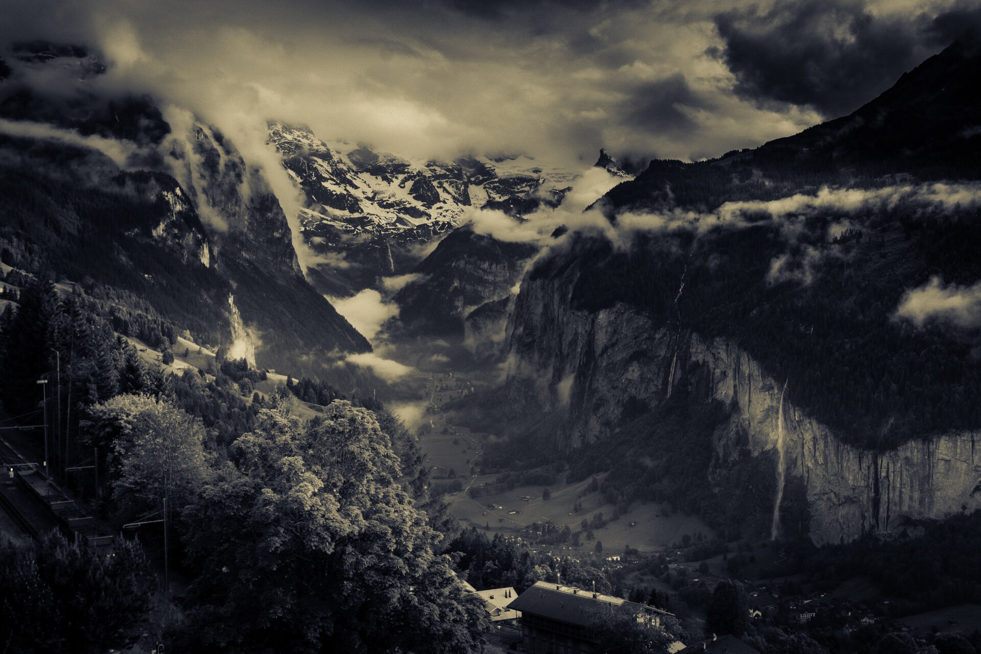
Gimmelwald to Mürren Cliff Trail
A quintessential and gentle alpine walking route linking two of the most picturesque car-free villages in the Swiss Alps: Gimmelwald and Mürren. Perched high on the cliff terraces above the deep Lauterbrunnen Valley, the trail meanders past traditional wooden chalets, blooming flower meadows, and grazing cows, offering uninterrupted, monumental front-row views of the Eiger, Mönch, and Jungfrau.
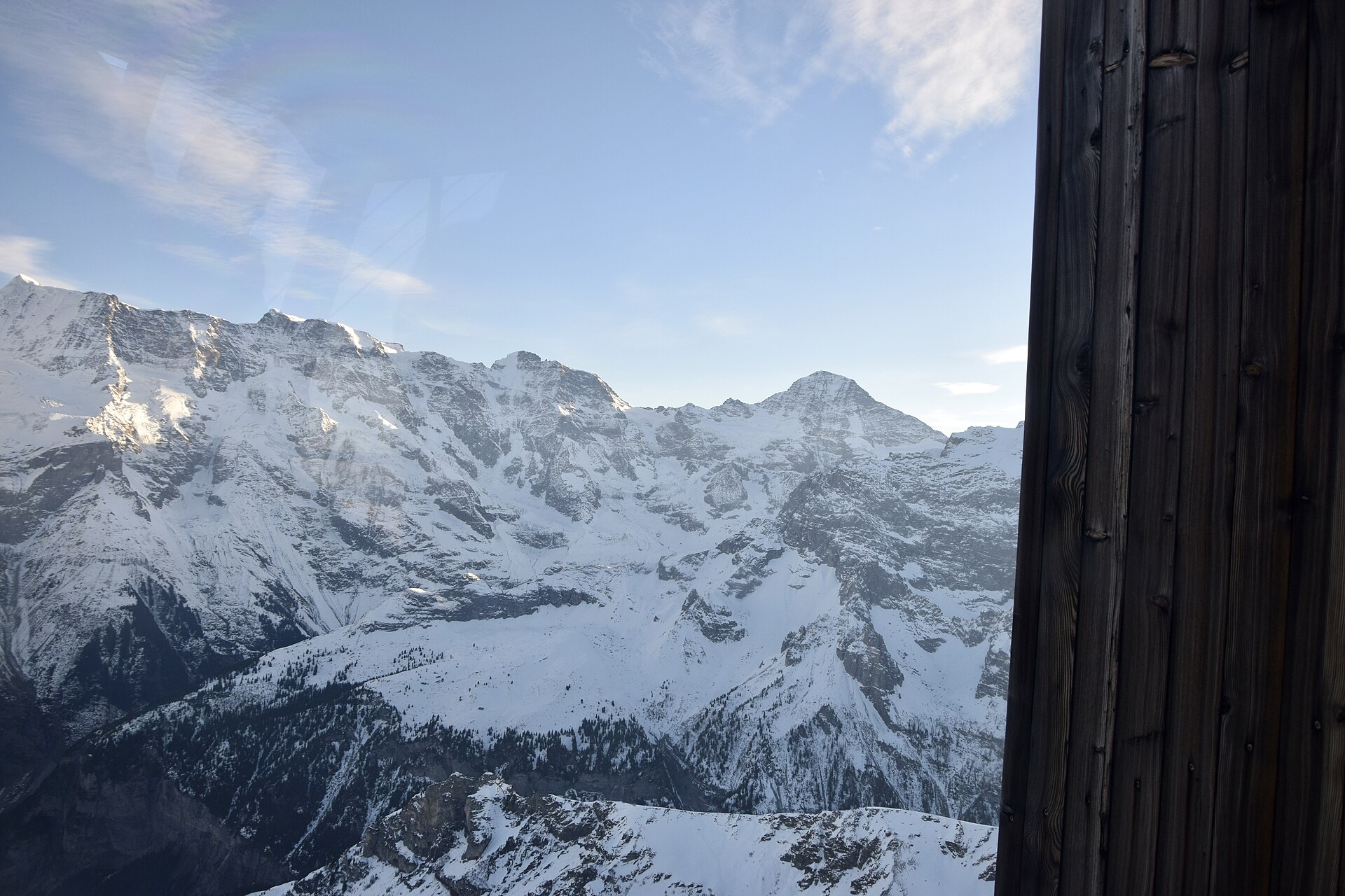
Mürren to Schilthorn Ridge Trail
A legendary and dramatic high-alpine ridge hike leading from the car-free village of Mürren up to the iconic Piz Gloria summit of Schilthorn (2,970 m)—world-famous as a James Bond filming location (*On Her Majesty's Secret Service*). The trail winds past alpine pastures, rocky moraines, and exposed ridge crests, offering staggering panoramic views of the Eiger, Mönch, Jungfrau, and over 200 surrounding peaks.
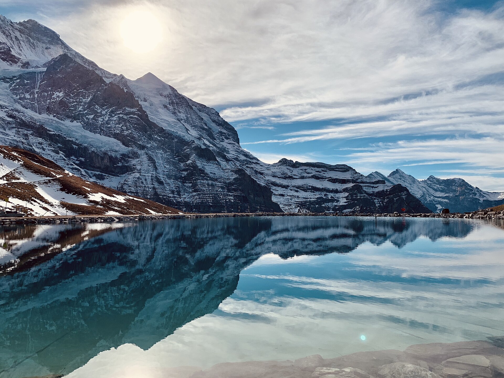 Featured
Eiger Trail: Eigergletscher to Alpiglen
A world-famous alpine traverse running directly along the base of the iconic Eiger North Face (Nordwand). Starting at the Eigergletscher station (2,320 m), the downhill trail tracks beneath the staggering 1,800-meter sheer limestone wall where legendary mountaineering history was written. The route offers unobstructed views over the Grindelwald valley, the Grosse Scheidegg pass, and the jagged Wetterhorn and Schreckhorn peaks.
 Featured
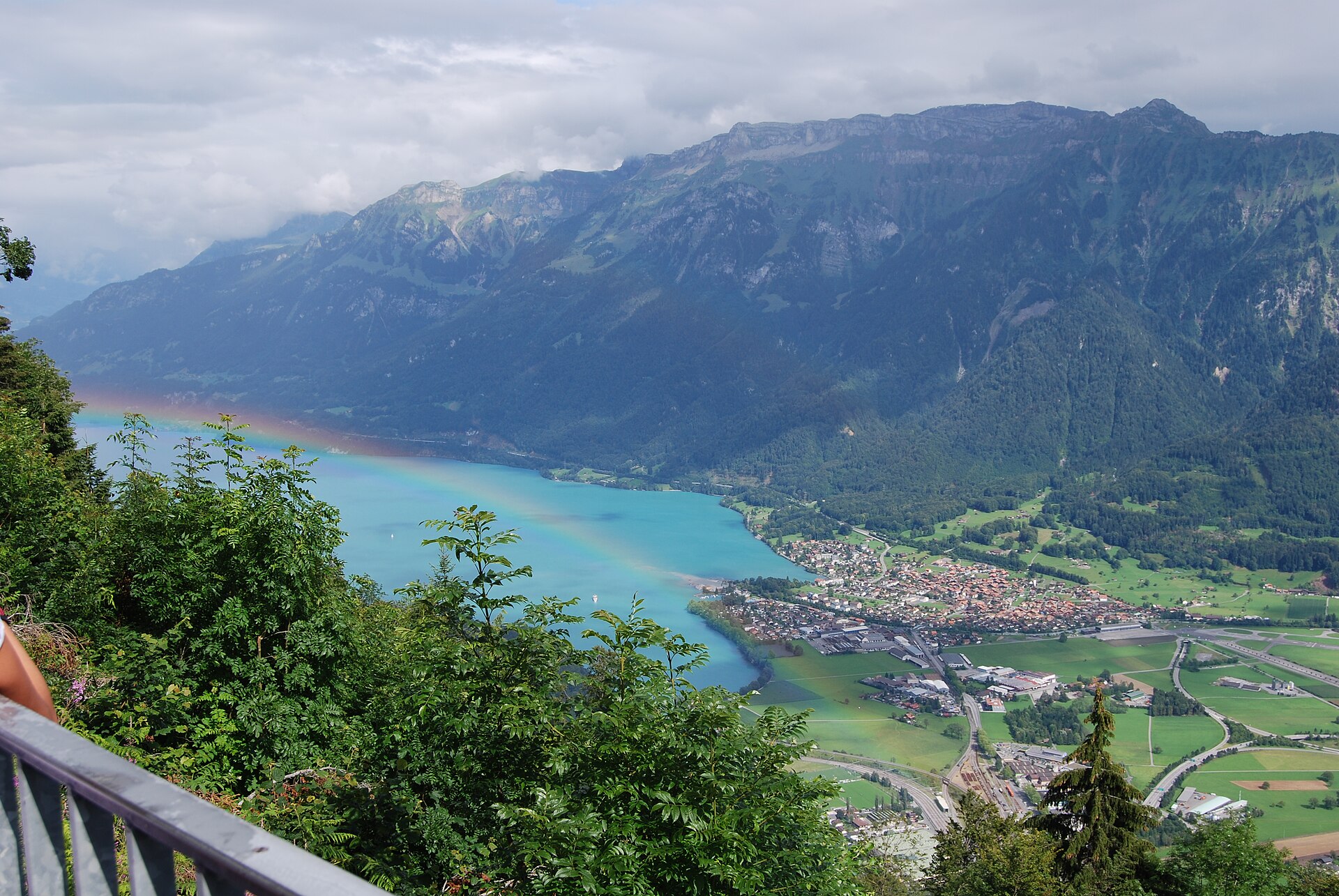
Hardergrat Ridge Traverse
Switzerland's most famous and thrilling knife-edge alpine ridge traverse.
 Featured
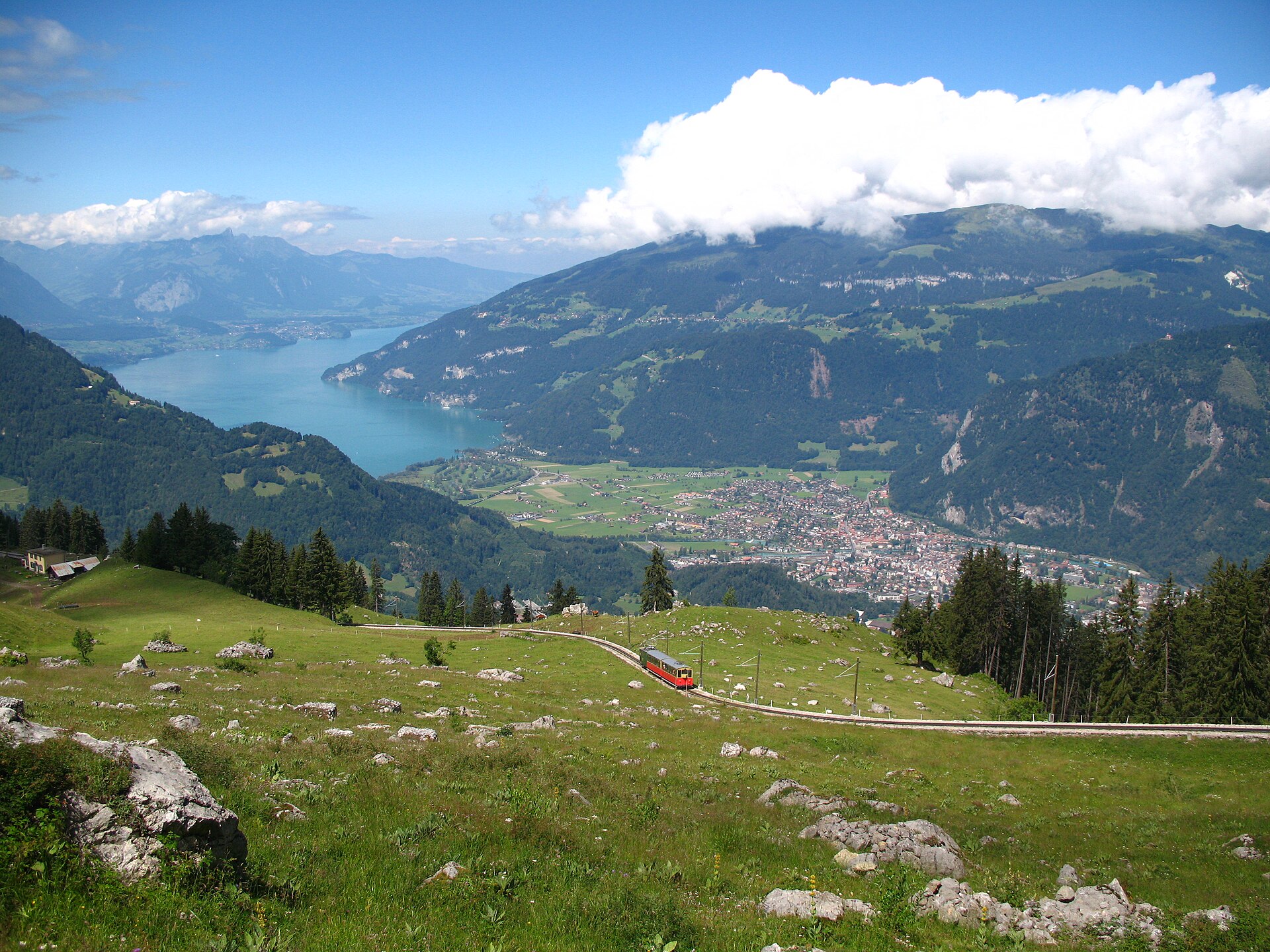
Schynige Platte Panorama Trail
A short, easy 5 km ridge loop reached by a wooden cogwheel train, facing the Eiger, Mönch and Jungfrau.
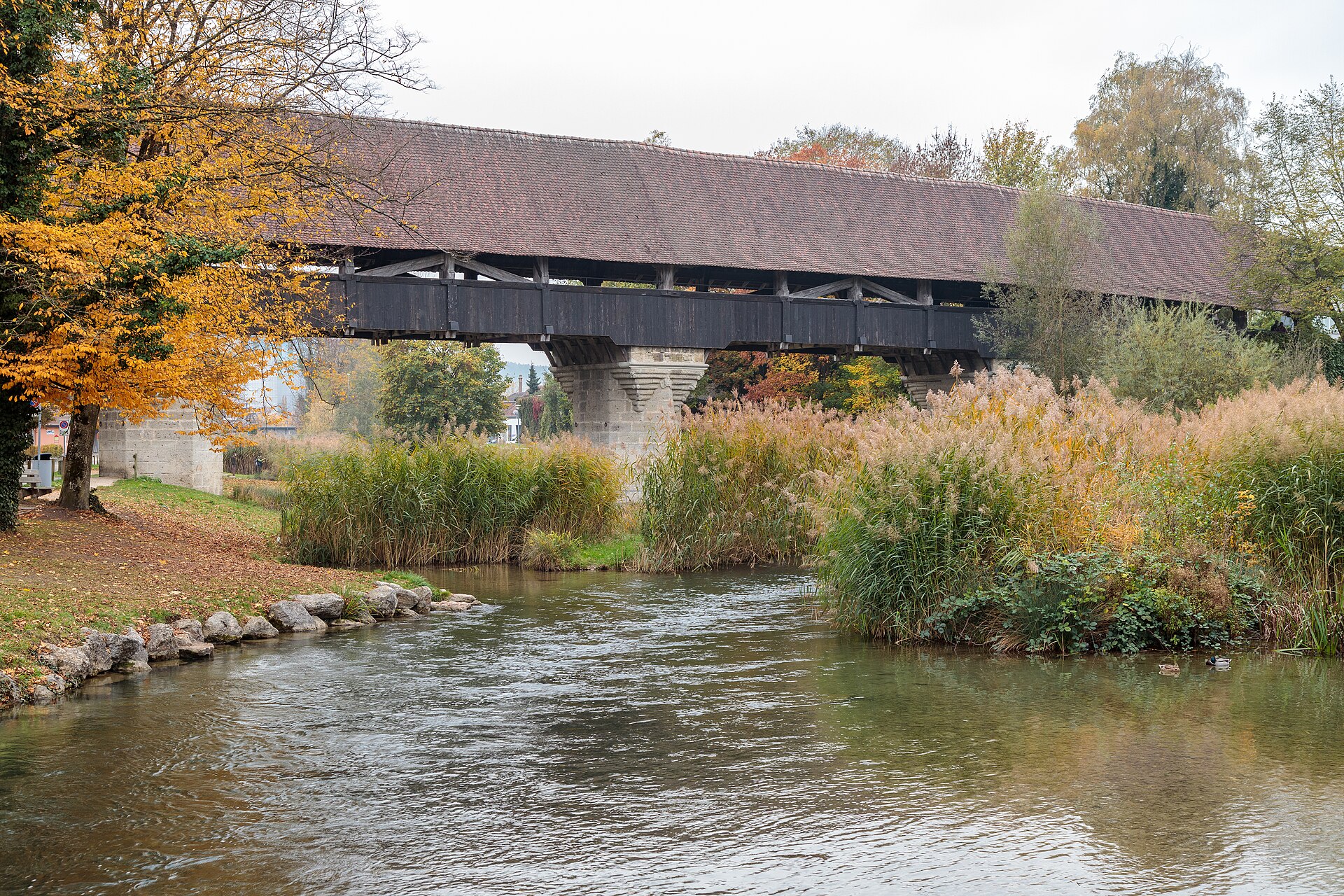
Aarberg and the Aare Canal
A town on an island with a covered wooden bridge, and a canal path through farmland.