
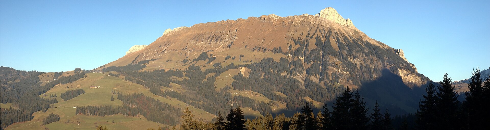
Marbachegg and the Entlebuch Biosphere
The Entlebuch is a rural area of moors, forested ridges and farms between Lucerne and Bern, and since 2001 it has been a UNESCO biosphere reserve. The area is known for its protected moorlands, and for a rural way of life that has changed little. From Marbachegg, a hill reached by a short cable car, a ridge path leads through pasture and moor with views of the Alps and the Entlebuch hills. It is easy, and a good option for a rural day with fewer visitors. SAC T1: T1 Hiking: marked yellow trail, no real exposure
- Distance
- 7 km
- Duration
- 2.5 h
- Ascent
- 200 m
- Difficulty
- Easy
At a glance
1/5
4/5
3/5
May – Oct
Route
The route, step by step
- 1
Cable car to Marbachegg
Ride from Marbach to the top station.
- 2
Ridge path
A wide path follows the ridge with views.
- 3
Moor section
Boardwalks cross a protected moor.
- 4
Back to the cable car
Return along the ridge.
Elevation profile
Choose your version
Short
Walk to the first viewpoint and return, about 1 hour.
Classic
Walk the ridge and the moor section, about 2.5 hours.
Extended
Add a longer loop through the pastures.
Plan your day
Getting there & logistics
- Start
- Take the train to Escholzmatt from Bern or Lucerne (about 45 minutes), then the bus to Marbach and the cable car. Check the timetable.
- Finish
- Drive from Lucerne to Marbach via Entlebuch, about 45 minutes.
- Parking
- A paid car park at the Marbach cable car station.
Before you leave, check
- Is the lift, boat or railway running today, and when is the last one down?
- Forecast for morning and afternoon (MeteoSwiss), and any storm warnings.
- Trail status: snow, rockfall or closures (local tourist office or lift operator).
- Last public transport home, and your plan if you miss it.
- Hut or restaurant opening days, and whether you need a reservation.
What this day costs
- Mountain lift, cable car or cogwheel train: usually the biggest cost of the day. Ask for the return fare and check pass discounts.
- Train and PostBus fares to the start and home from the end. A Half Fare Card halves most of these.
- Parking, if you drive: day rates vary by place and season, and some car parks fill early.
- Food and drink: mountain restaurants cost noticeably more than the valley. A picnic cuts the day cost sharply.
- Entry fees where they apply, for example caves, gorges or lakeside facilities.
Plan B if the weather turns
Visit the Entlebuch biosphere centre in Schüpfheim.
Good to know
- Rainy day
- Visit the Entlebuch biosphere centre in Schüpfheim.
- With kids
- A good family walk, easy and open.
- Dogs
- Allowed on lead.
Stay & rest
Rest options & mountain huts
Marbachegg restaurant
A mountain restaurant at the top station.
Marbach village cafes
A few places near the cable car.
Farm shops
Local cheese and milk in season.
Where to stay
Budget – Youth Hostel Luzern
A modern hostel with lake views.
Mid-range – Hotel Wilden Mann
A characterful hotel.
Upscale – Hotel Schweizerhof Luzern
A five-star hotel on the lakefront.
We may earn a commission from bookings made through this link.
Gear
Essential trail gear
For this hike
- Light hiking shoes
- Warm layer
- Sun cream
- Rain layer
- Water and a picnic
Always
- Sturdy hiking shoes with real tread (trainers only on the flattest routes)
- Water, at least 1 to 1.5 litres per person, more in summer
- Rain shell and one warm layer, even on a sunny morning
- Sun cream, hat and sunglasses (UV rises about 10% per 1,000 m)
- Snacks or a picnic and some cash in coins and small notes
- Phone with offline map (SwissTopo or Komoot), power bank, ID
- Small first-aid kit: plasters, blister tape, painkillers
Background
The story
The Entlebuch was the first Swiss UNESCO biosphere reserve, recognised in 2001 for its moors and traditional farming.
Taste it
Entlebucher Bergkäse and a glass of fresh milk at a local farm.
Route notes
The Entlebuch is a rural area of moors, forested ridges and farms between Lucerne and Bern, and since 2001 it has been a UNESCO biosphere reserve. The area is known for its protected moorlands, and for a rural way of life that has changed little. From Marbachegg, a hill reached by a short cable car, a ridge path leads through pasture and moor with views of the Alps and the Entlebuch hills. It is easy, and a good option for a rural day with fewer visitors. SAC T1: T1 Hiking: marked yellow trail, no real exposure
Nearby hikes
- Trübsee Lake and Jochpass – Engelberg, OW
- Engelberg to Trübsee Alpine Trail – Engelberg Valley, OW
- Albishorn and the Albis Ridge – Albispass, ZH
Where to stay nearby
- Lakeside Grand, Lucerne – Lucerne, LU
Experiences near this hike
We may earn a commission from bookings made through this link.
 Sponsoredfrom CHF 119Sponsoredfrom CHF 45
More things to do nearby
We may earn a commission from bookings made through this link.
Browse experiences on GetYourGuideDid you know?
You might also like
 Featured
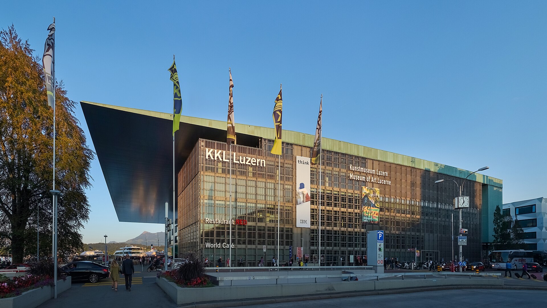
Lucerne Festival
World-class classical music at the KKL Lucerne.
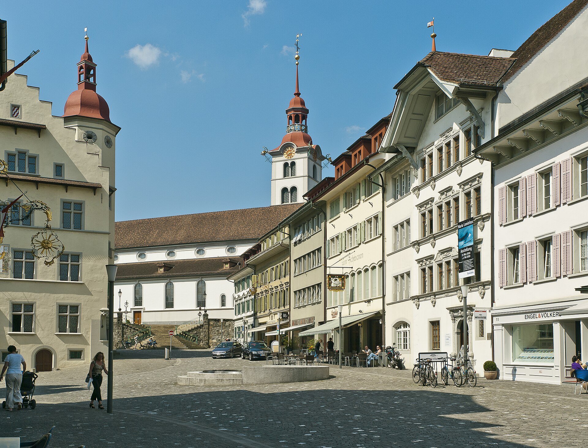
Gansabhauet Sursee Martinmas Tradition 2027
Unique centuries-old Martinmas custom in Sursee featuring blindfolded competitors in sun masks attempting a single saber cut.
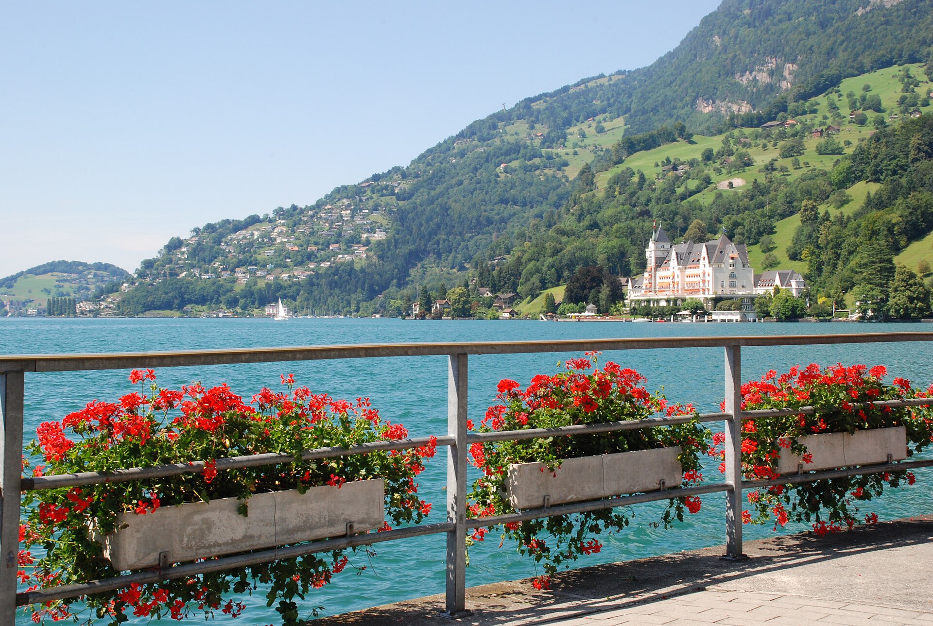
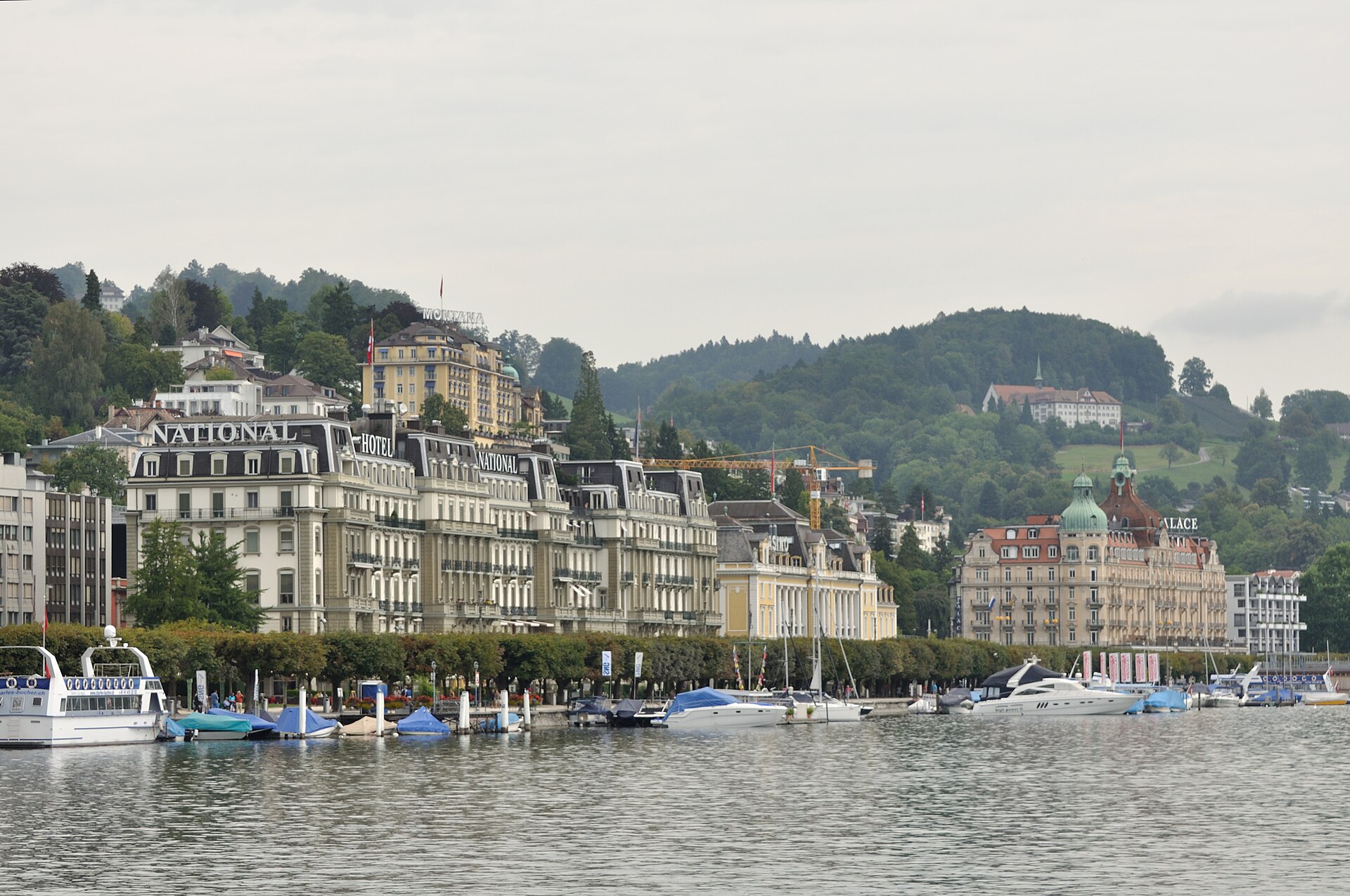
Lucerne Blues Festival 2027
Acclaimed international blues festival bringing legendary blues artists to the shores of Lake Lucerne.
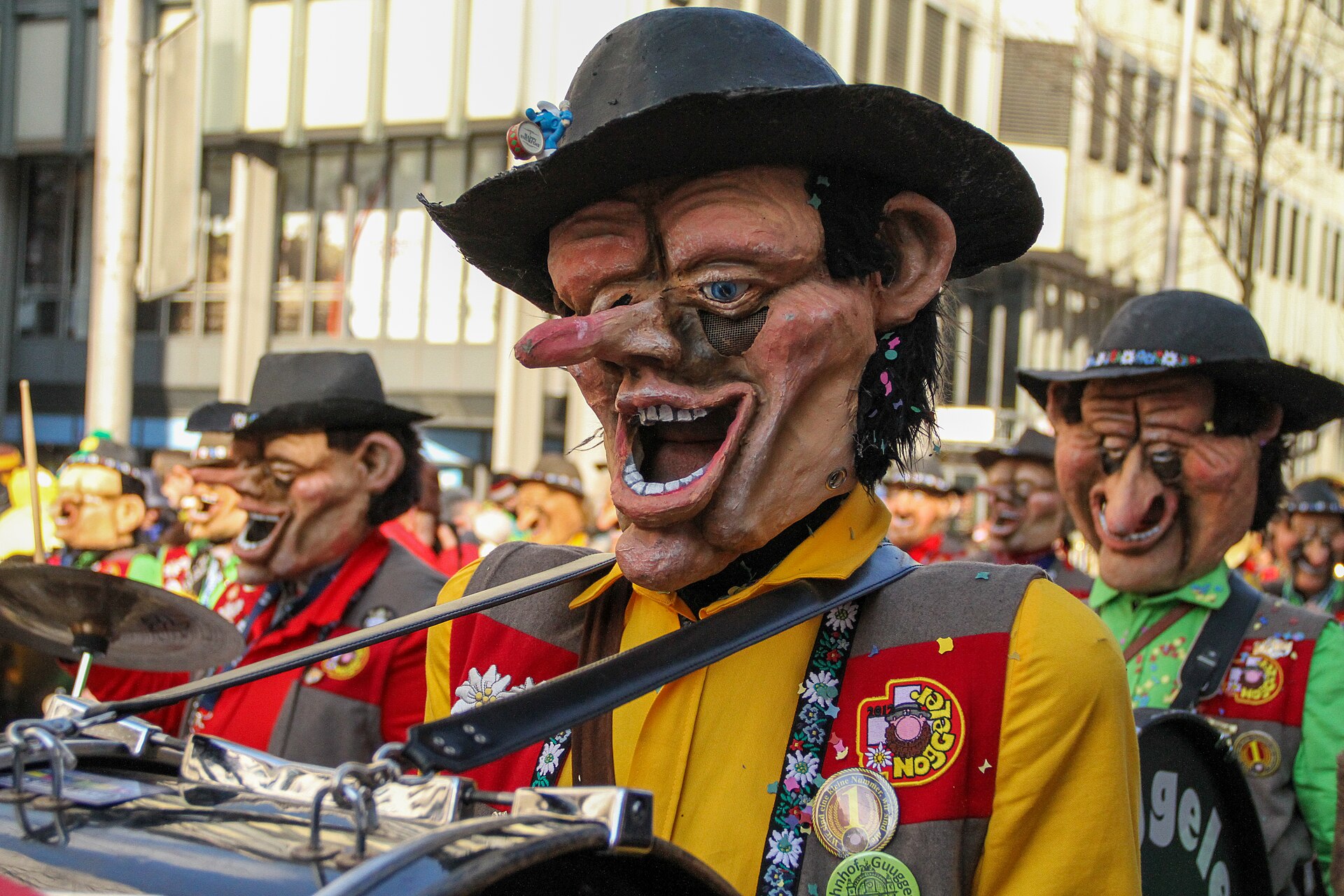
Lucerne Carnival (Fasnacht) 2027
A wild, atmospheric carnival explosion featuring masked monster guilds and energetic Guggemusik bands.
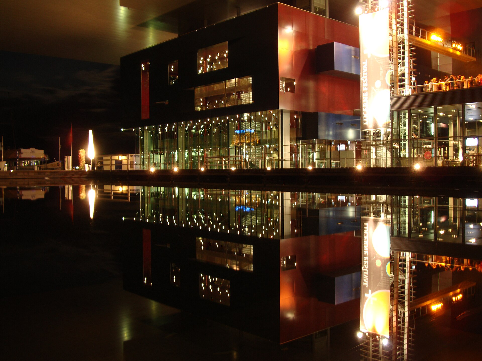
Lucerne Festival Piano Series 2027
Autumn festival dedicated entirely to keyboard mastery, solo recitals, and piano concertos at KKL Lucerne.