
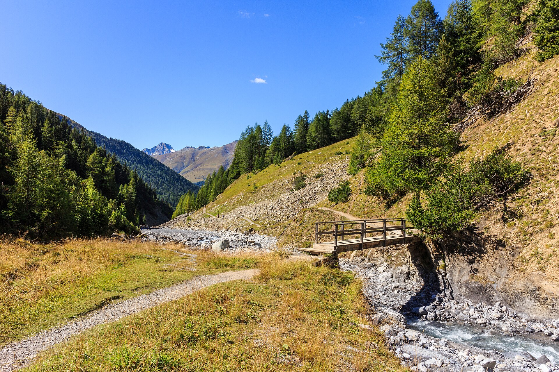
Il Fuorn to Margunet in the Swiss National Park
The Margunet loop in the Swiss National Park is a moderate (SAC T2) 9.1 km hike taking around 3 hours. Starting from the Ofen Pass (Fuorn / Champlönch), it crosses the sweeping alpine limestone plateau of Margunet where red deer and chamois roam freely. Note: dogs and leaving marked paths are strictly prohibited. Founded in 1914, the Swiss National Park in the Engadine is Switzerland's only national park and a strictly protected biosphere where nature is left entirely to its own devices. The Margunet trail crosses an expansive, rolling alpine high plateau above the treeline, offering exceptional opportunities to observe red deer, chamois, ibex, and golden eagles in absolute wilderness.
- Distance
- 9.1 km
- Duration
- 3 h
- Ascent
- 440 m
- Difficulty
- Moderate
At a glance
3/5
4/5
2/5
Jun – Oct
Route
The route, step by step
- 1
Ofen Pass (Süsom Givè)
Start at the Ofen Pass summit bus stop or parking area (2,214m) and head east into the national park gate.
- 2
Margunet Plateau Climb
Ascend gently through open alpine pasture and dwarf pine scrub onto the rolling limestone plateau of Margunet.
- 3
Plateau Traverse
Walk across the wide, treeless expanse scanning the slopes for grazing herds of red deer and chamois.
- 4
Loop Return via Il Fuorn
Descend along the forest fringe back toward the Ofen Pass road and Parkplatz P6 / Il Fuorn.
Elevation profile
Choose your version
Short
Champlönch lower nature trail variant (5.0 km, ~1h 45m).
Classic
Full Margunet high-plateau loop starting from Ofen Pass (9.1 km, ~3h).
Extended
Combine with the Val dal Botsch descent trail toward Süsom Givè (13.0 km, ~4h 30m).
Plan your day
Getting there & logistics
- Start
- Take the Rhaetian Railway (RhB) to Zernez, then board the PostBus operating over the Ofen Pass toward Val Müstair, exiting at Süsom Givè or Il Fuorn.
- Finish
- Drive from Zernez to Il Fuorn, about 15 minutes.
- Parking
- Drive through the Engadine valley to Zernez, then climb the winding Ofen Pass road (Route 28). Designated park parking areas are located along the pass. Free or low-cost designated park parking lots (P1 through P8) situated directly off the Ofen Pass road.
Before you leave, check
- IMPORTANT: Bring binoculars or a telephoto camera lens—wildlife is protected and stays at a natural distance.
- Verify PostBus timetables across Ofen Pass as services run less frequently than in major valleys.
- Pack all food and rubbish; there are zero restaurants or waste bins on the trail once you leave the pass.
- Remember park rules: leaving marked trails is illegal and subject to heavy park ranger fines.
What this day costs
- PostBus ticket across Ofen Pass (Zernez to Süsom Givè): ~CHF 12.00–18.00 (half-price with Swiss Travel Pass).
- Park Parking: Free at designated park lots along Ofen Pass.
- Food/Lunch: Picnic recommended, or dine at Hotel Il Fuorn.
Plan B if the weather turns
If rain or mountain fog obscures the plateau, explore the indoor National Park Visitor Centre in Zernez or walk the lower valley trail along the Spöl river.
Good to know
- Rainy day
- Visit the Swiss National Park Centre (Visitor Center) in Zernez, featuring interactive exhibitions on alpine ecology.
- With kids
- Great for older children interested in wildlife, but strict rules apply (no straying from paths, no dogs).
- Dogs
- STRICTLY PROHIBITED. Dogs are banned entirely from the Swiss National Park to protect native wildlife from scent disturbance.
Stay & rest
Rest options & mountain huts
Hotel Parc Il Fuorn
A mountain hotel and restaurant at the start.
Zernez cafes
A choice of places near the National Park centre.
Picnic spots
Marked rest areas only, as park rules require.
Where to stay
Budget – Berninahaus
A traditional lodge with simple rooms.
Mid-range – Hotel Rosatsch
A four-star hotel in a quiet street.
Upscale – Hotel Saratz
A historic five-star hotel.
We may earn a commission from bookings made through this link.
Gear
Essential trail gear
For this hike
- Sturdy boots
- Warm layers
- Binoculars
- Sun cream
- Water and a picnic
Always
- Sturdy hiking shoes with real tread (trainers only on the flattest routes)
- Water, at least 1 to 1.5 litres per person, more in summer
- Rain shell and one warm layer, even on a sunny morning
- Sun cream, hat and sunglasses (UV rises about 10% per 1,000 m)
- Snacks or a picnic and some cash in coins and small notes
- Phone with offline map (SwissTopo or Komoot), power bank, ID
- Small first-aid kit: plasters, blister tape, painkillers
Background
The story
Because the Swiss National Park enforces strict conservation laws—you must remain on marked paths, camping and lighting fires are banned, and even picking flowers or bringing dogs is forbidden—the landscape has returned to primeval wilderness. Margunet serves as a vital summer grazing and rutting ground for hundreds of red deer.
Taste it
Stop at the historic Hotel Parc Naziunal Il Fuorn near the park entrance for a traditional Grisons barley soup (Bündner Gerstensuppe) or local venison stew.
Route notes
The Swiss National Park, founded in 1914, is the oldest protected area in the Alps. Its rules are strict: stay on marked paths, no dogs, no fires, no picking plants. The wildlife has settled in over a century of protection, and visitors have a good chance of seeing ibex, chamois, red deer and marmots. The route to Margunet climbs from Il Fuorn on the Ofen pass road through pine forest and then into open alpine ground. It is steady, with a long view at the top. Binoculars are essential. SAC T2: T2 Mountain hiking: steep in places, sure feet needed
Nearby hikes
- Val Trupchun Wildlife Valley – S-chanf, GR
- Furggelenfirst Panorama Ridge Trail – Mythen / Schwyz Pre-Alps, SZ
- Gimmelwald to Mürren Cliff Trail – Lauterbrunnen Valley / Jungfrau Region, BE
Experiences near this hike
We may earn a commission from bookings made through this link.
 Sponsoredfrom CHF 159Sponsoredfrom CHF 179Sponsoredfrom CHF 129
More things to do nearby
We may earn a commission from bookings made through this link.
Browse experiences on GetYourGuideDid you know?
You might also like
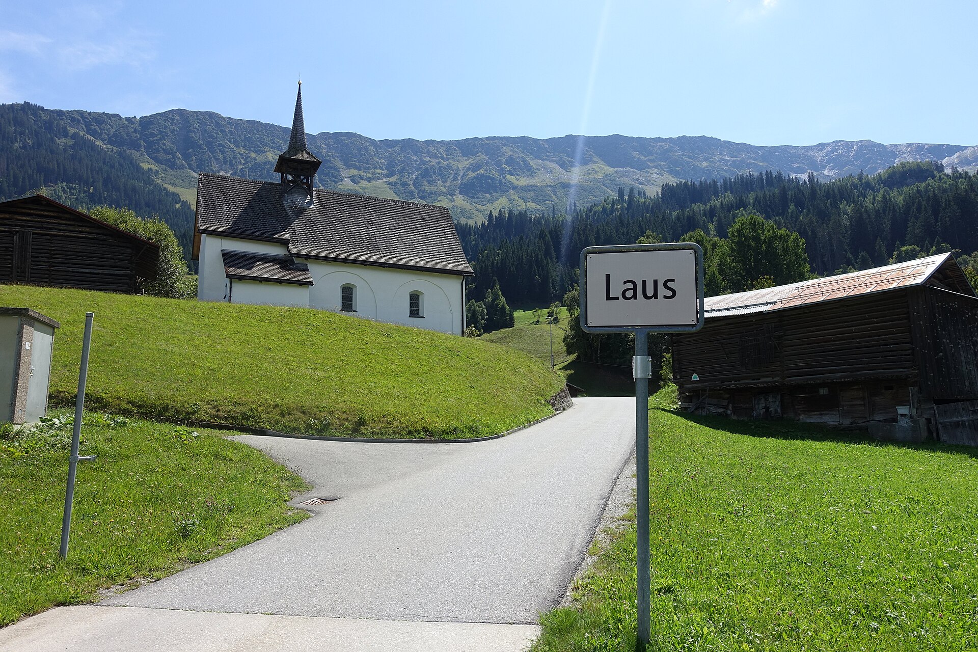
Acla to Medel Valley Alpine Route
A serene and unspoiled mountain valley walk following the rushing waters of the Rein da Medel river through Val Medel. Starting near the quiet hamlet of Acla, the path leads past traditional Walser-style wooden barns, wild pine forests, and alpine pastures under the gaze of the Medel Glacier massif. The route combines historic mule-track sections with smooth gravel paths, providing an authentic Graubünden alpine experience far from big tourism crowds.
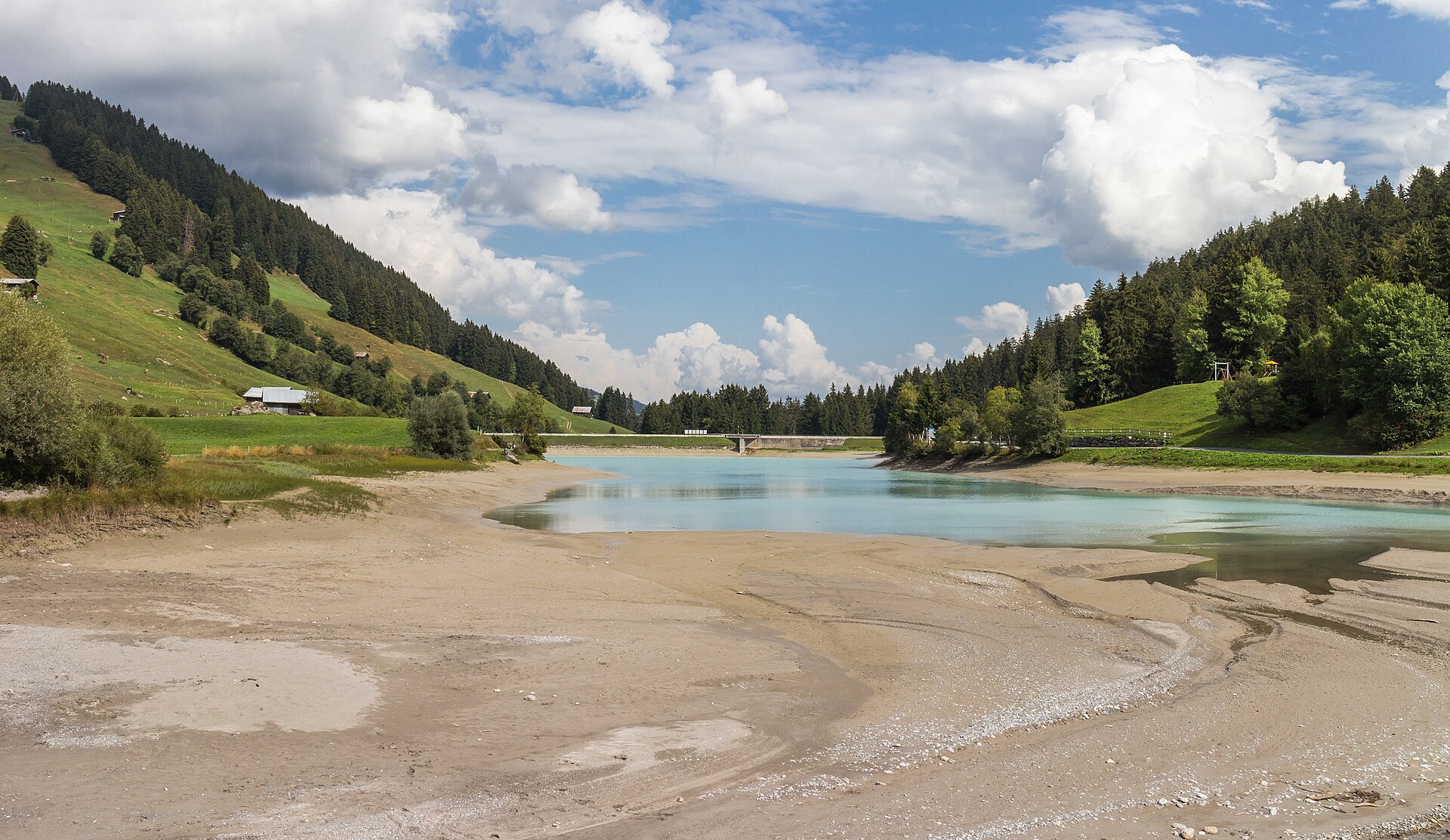
Albula Railway Trail, Bergun to Preda
A 6 km valley walk beside the UNESCO Albula railway's loops and viaducts, with a 20-minute train ride home.
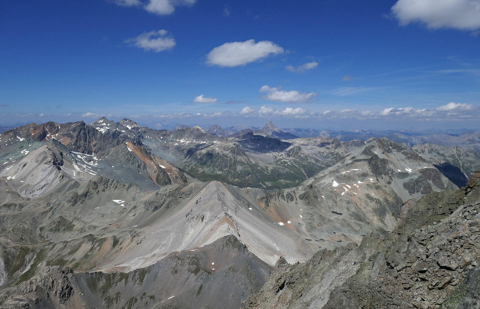
Albulapass to Chamanna Jenatsch High Alpine Route
A majestic high-alpine trek bridging the historic Albulapass road with the remote Jenatsch Hut (SAC), nestled deep in the heart of the Albula Alps. The trail navigates rugged moraines, sparkling alpine tarns, and open stone-strewn plateaus surrounded by jagged 3,000-meter peaks like Piz Calderas and Piz d'Err. This route delivers a true wilderness experience in Graubünden, far from mechanized lifts and crowds.
Alp Flix Plateau Walk
A high sunny terrace of moors and larch, protected as a landscape of national importance.
Alp Grüm and Lago Palü
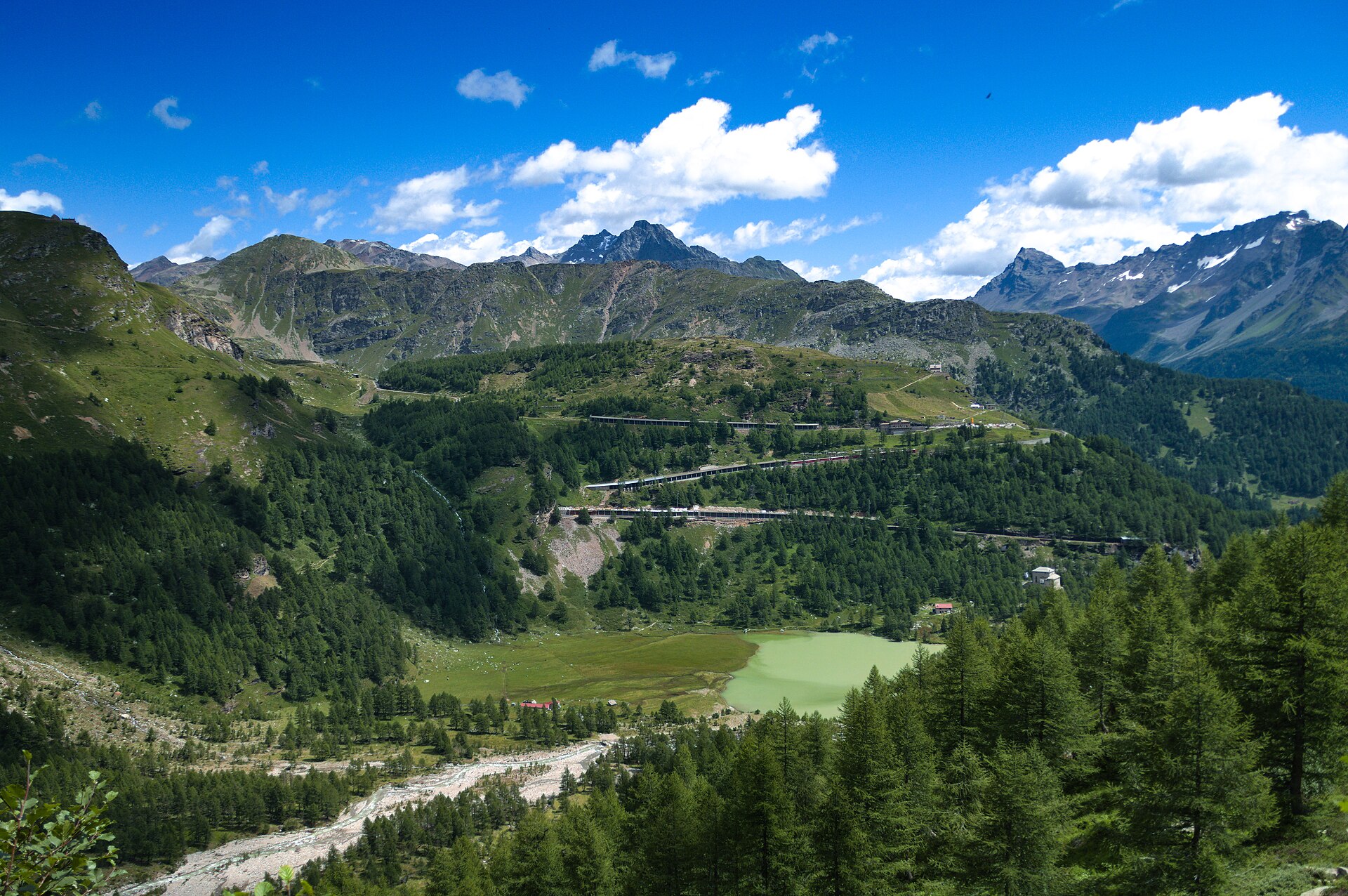
A railway halt above the clouds, a glacier lake and a train to ride home.
Arosa Obersee and Untersee Loop
Two small lakes in a high resort, linked by an easy path through larch forest.