
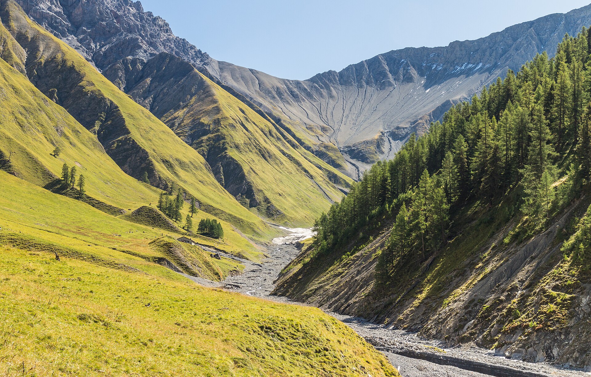
Val Trupchun Wildlife Valley
Val Trupchun is part of the Swiss National Park, Switzerland's oldest protected area, founded in 1914. The valley is known for wildlife, and in September and October the red deer rut can be heard across the slopes. Ibex and chamois graze on the hillsides throughout summer. The path is wide and gentle, running beside a stream through larch and pine forest. Binoculars matter more here than boots. The park has strict rules: stay on marked paths, take no dogs, leave nothing behind and pick nothing. SAC T1: T1 Hiking: marked yellow trail, no real exposure
- Distance
- 12 km
- Duration
- 3.8 h
- Ascent
- 300 m
- Difficulty
- Easy
At a glance
2/5
4/5
2/5
Jun – Oct
Route
The route, step by step
- 1
S-chanf to the valley
Start at the Trupchun car park and follow the track along the stream.
- 2
Forest and meadow
The path alternates between forest and open pasture where animals graze.
- 3
Alp Trupchun
A good turn-around point with views of the head of the valley.
- 4
Return
Walk back by the same path at a slow pace, watching the slopes.
Elevation profile
Plan your day
Getting there & logistics
- Start
- Take the Rhaetian Railway to S-chanf, then walk about 40 minutes to the valley mouth, or use a seasonal bus if available. Check the timetable.
- Finish
- Drive from St. Moritz via the Engadin road to S-chanf, about 25 minutes. Follow signs to the Val Trupchun car park.
- Parking
- A paid car park at the valley entrance. It fills early in autumn.
Before you leave, check
- Is the lift, boat or railway running today, and when is the last one down?
- Forecast for morning and afternoon (MeteoSwiss), and any storm warnings.
- Trail status: snow, rockfall or closures (local tourist office or lift operator).
- Last public transport home, and your plan if you miss it.
- Hut or restaurant opening days, and whether you need a reservation.
What this day costs
- Train and PostBus fares to the start and home from the end. A Half Fare Card halves most of these.
- Parking, if you drive: day rates vary by place and season, and some car parks fill early.
- Food and drink: mountain restaurants cost noticeably more than the valley. A picnic cuts the day cost sharply.
- Entry fees where they apply, for example caves, gorges or lakeside facilities.
Plan B if the weather turns
Visit the Swiss National Park centre in Zernez.
Good to know
- Rainy day
- Visit the Swiss National Park centre in Zernez.
- With kids
- A good first wildlife outing for children, if they can stay quiet.
- Dogs
- Not allowed in the National Park.
Stay & rest
Rest options & mountain huts
Picnic spots
Benches by the stream, take food with you.
Zernez cafés
A few places near the National Park centre.
S-chanf village
A few simple restaurants near the station.
Where to stay
Budget – Youth Hostel Pontresina
A simple hostel, about 30 minutes by car.
Upscale – Hotel Castell
A four-star design hotel in a historic village.
We may earn a commission from bookings made through this link.
Gear
Essential trail gear
For this hike
- Binoculars
- Light hiking shoes
- Warm layer
- Rain jacket
- Water and a picnic
Always
- Sturdy hiking shoes with real tread (trainers only on the flattest routes)
- Water, at least 1 to 1.5 litres per person, more in summer
- Rain shell and one warm layer, even on a sunny morning
- Sun cream, hat and sunglasses (UV rises about 10% per 1,000 m)
- Snacks or a picnic and some cash in coins and small notes
- Phone with offline map (SwissTopo or Komoot), power bank, ID
- Small first-aid kit: plasters, blister tape, painkillers
Background
Route notes
Val Trupchun is part of the Swiss National Park, Switzerland's oldest protected area, founded in 1914. The valley is known for wildlife, and in September and October the red deer rut can be heard across the slopes. Ibex and chamois graze on the hillsides throughout summer. The path is wide and gentle, running beside a stream through larch and pine forest. Binoculars matter more here than boots. The park has strict rules: stay on marked paths, take no dogs, leave nothing behind and pick nothing. SAC T1: T1 Hiking: marked yellow trail, no real exposure
Nearby hikes
- Il Fuorn to Margunet in the Swiss National Park – Zernez, GR
- Chur to Reichenau Rhine Path – Chur, GR
- Eschenberg Forest and Tower, Winterthur – Winterthur, ZH
Experiences near this hike
We may earn a commission from bookings made through this link.
 Sponsoredfrom CHF 159Sponsoredfrom CHF 179Sponsoredfrom CHF 129
More things to do nearby
We may earn a commission from bookings made through this link.
Browse experiences on GetYourGuideDid you know?
You might also like
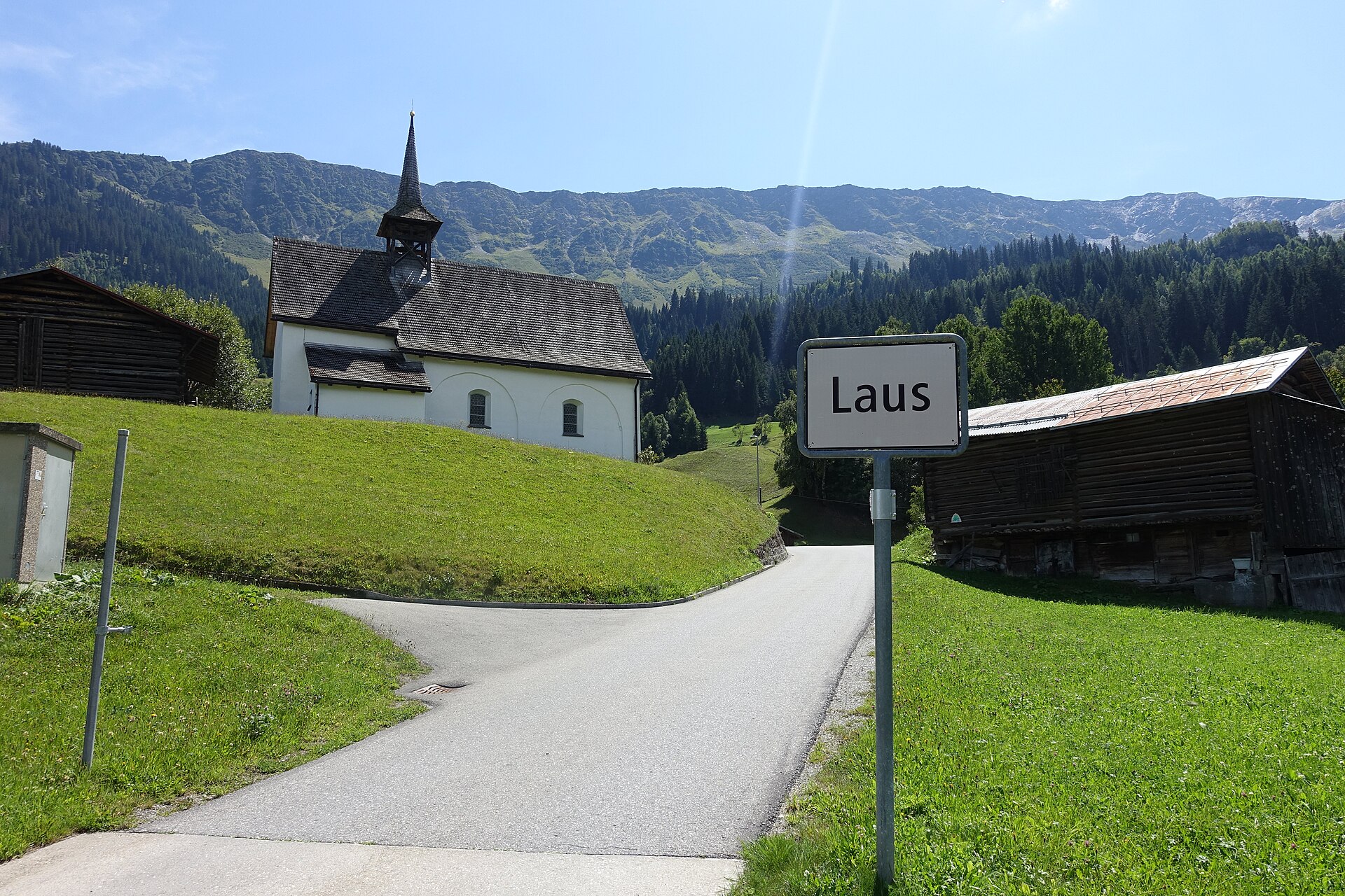
Acla to Medel Valley Alpine Route
A serene and unspoiled mountain valley walk following the rushing waters of the Rein da Medel river through Val Medel. Starting near the quiet hamlet of Acla, the path leads past traditional Walser-style wooden barns, wild pine forests, and alpine pastures under the gaze of the Medel Glacier massif. The route combines historic mule-track sections with smooth gravel paths, providing an authentic Graubünden alpine experience far from big tourism crowds.
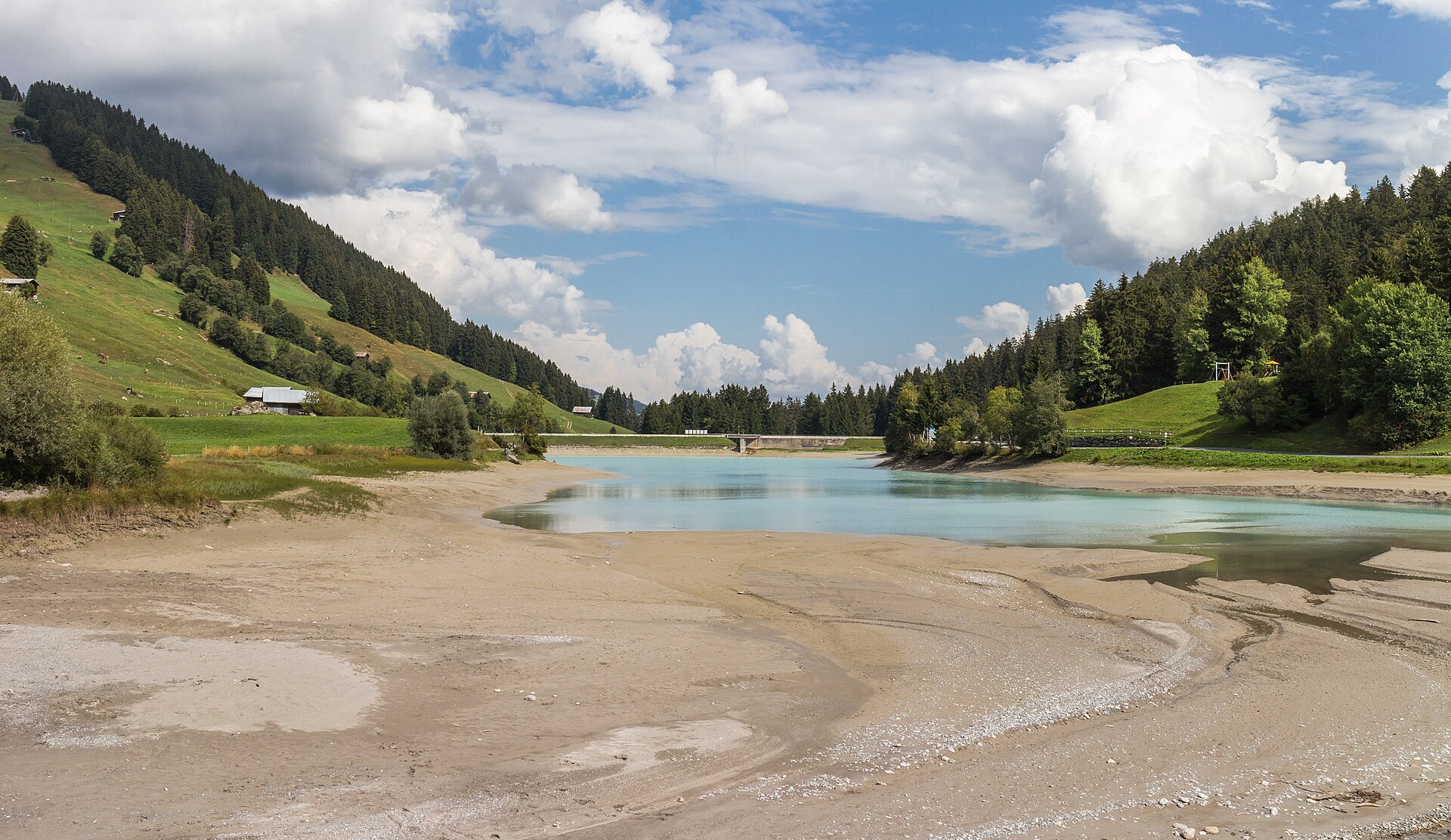
Albula Railway Trail, Bergun to Preda
A 6 km valley walk beside the UNESCO Albula railway's loops and viaducts, with a 20-minute train ride home.
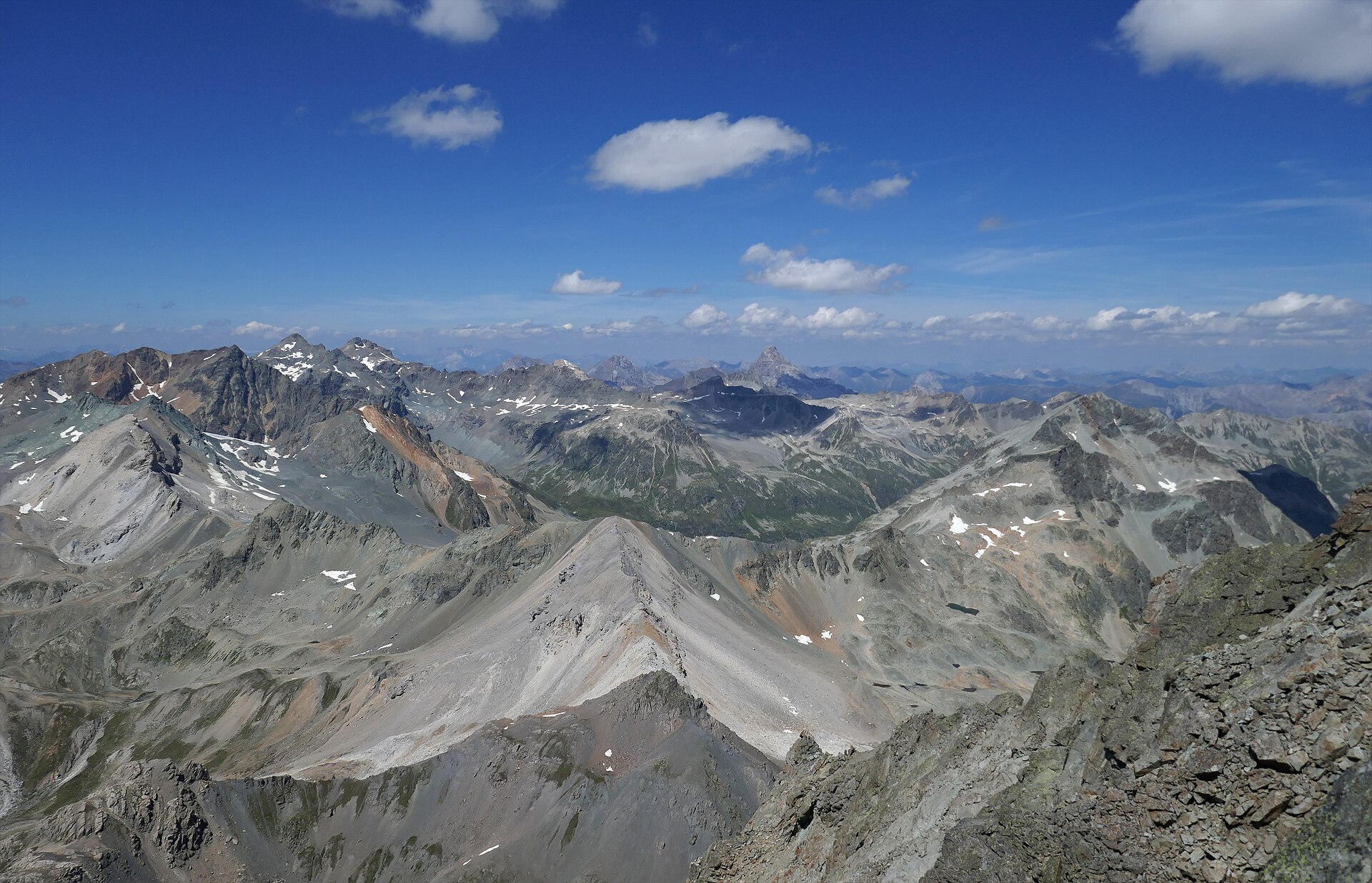
Albulapass to Chamanna Jenatsch High Alpine Route
A majestic high-alpine trek bridging the historic Albulapass road with the remote Jenatsch Hut (SAC), nestled deep in the heart of the Albula Alps. The trail navigates rugged moraines, sparkling alpine tarns, and open stone-strewn plateaus surrounded by jagged 3,000-meter peaks like Piz Calderas and Piz d'Err. This route delivers a true wilderness experience in Graubünden, far from mechanized lifts and crowds.
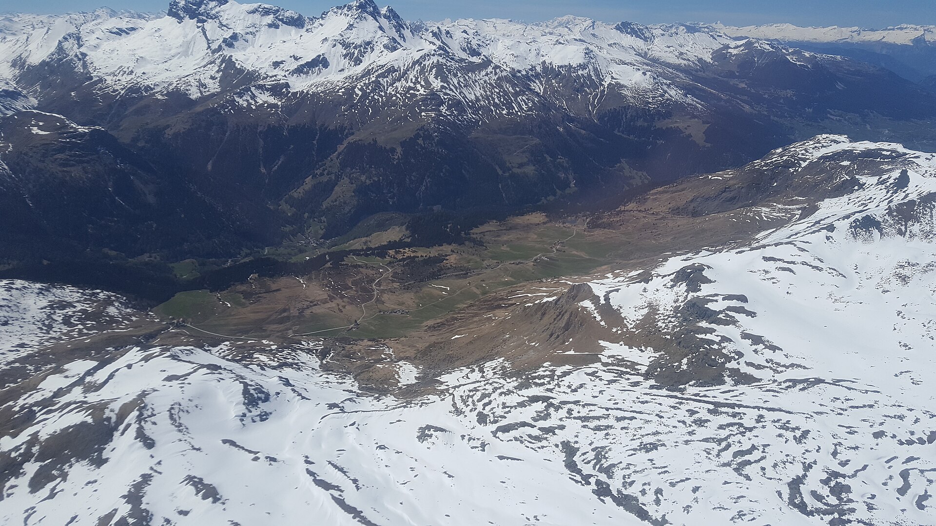
Alp Flix Plateau Walk
A high sunny terrace of moors and larch, protected as a landscape of national importance.
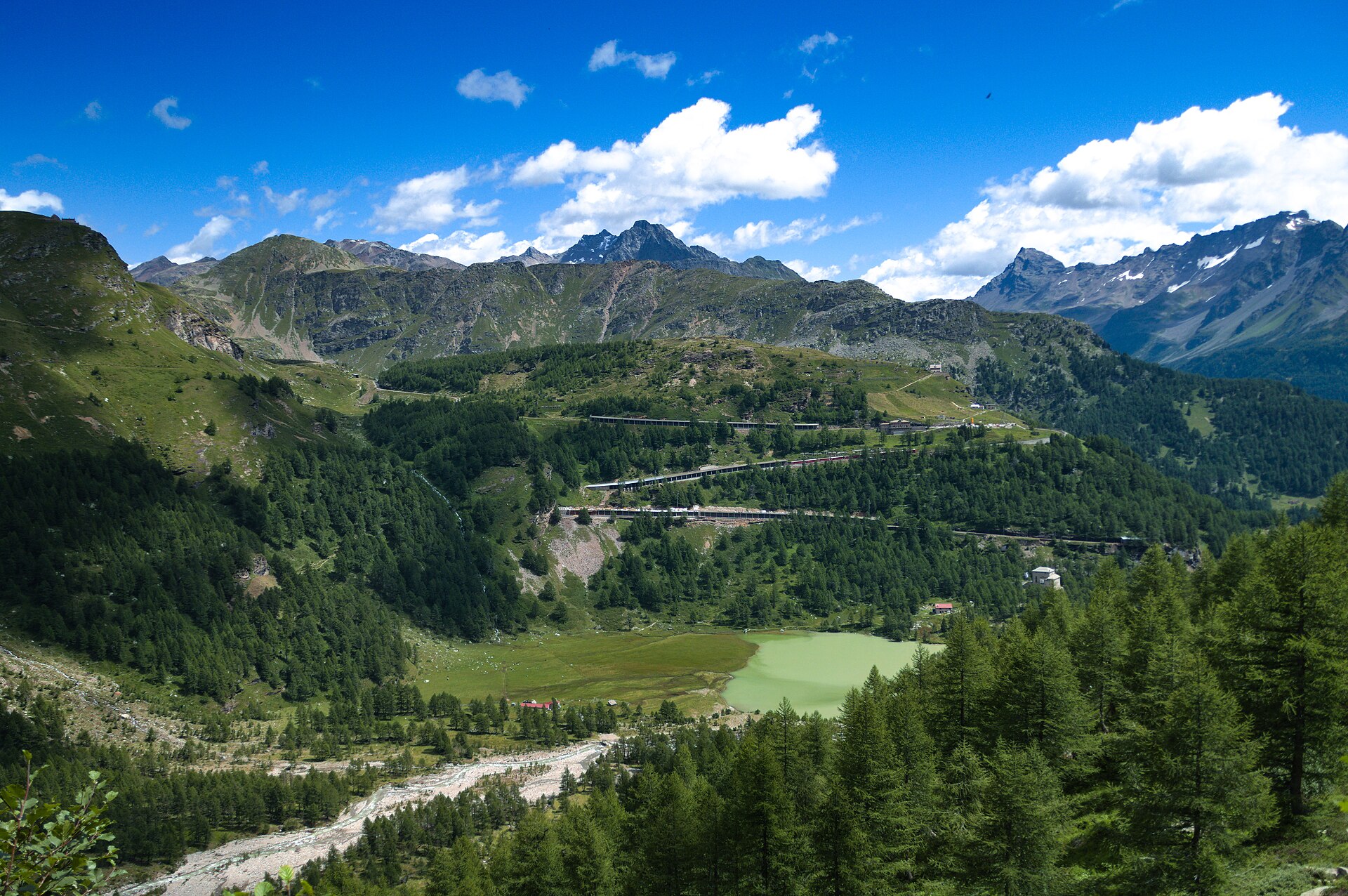
Alp Grüm and Lago Palü
A railway halt above the clouds, a glacier lake and a train to ride home.
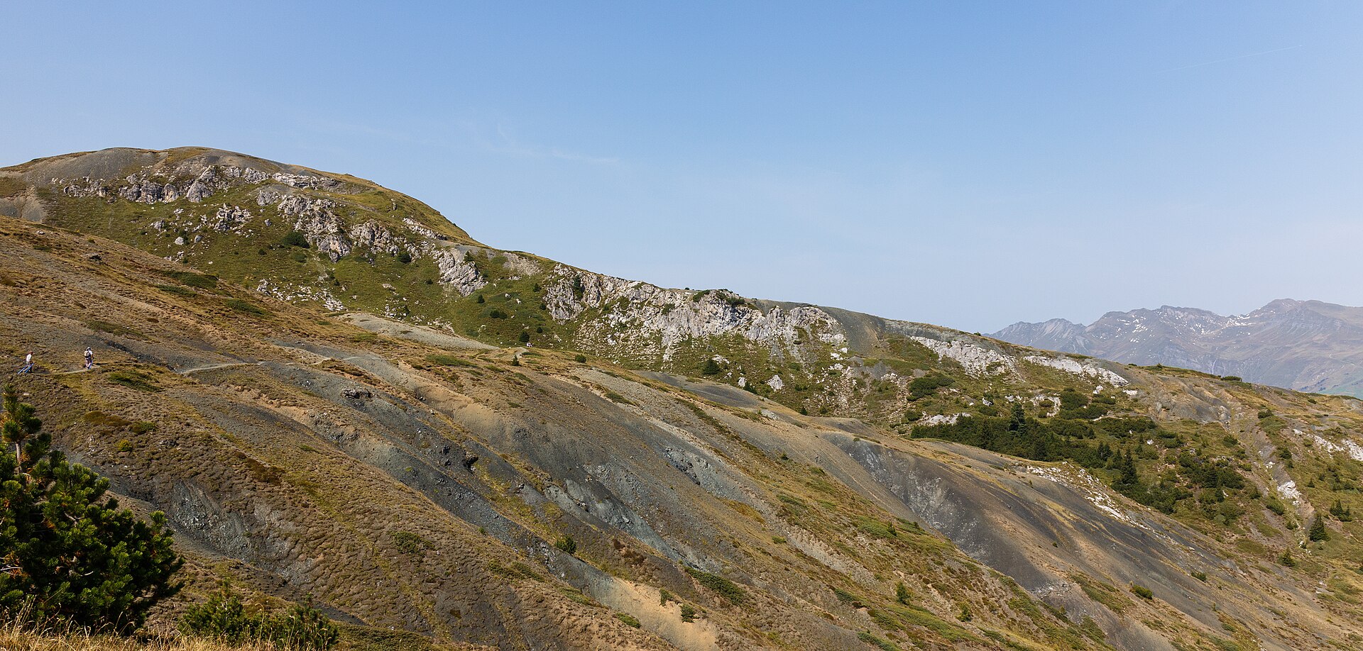
Arosa Obersee and Untersee Loop
Two small lakes in a high resort, linked by an easy path through larch forest.