
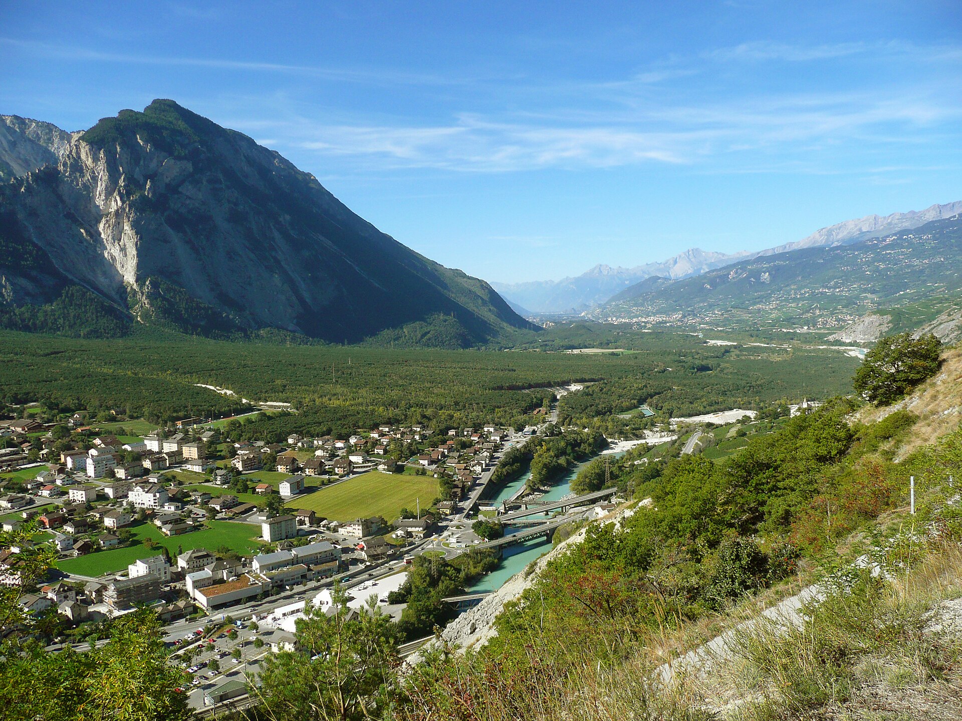
Pfynwald Forest and the Suspension Bridge
The Pfynwald Forest & Suspension Bridge Walk is an easy to moderate (SAC T1/T2) 8.4 km circular loop taking around 2.5 hours. It winds through the protected Scots pine reserve of the Pfyn-Finges Nature Park and crosses the Serac suspension bridge spanning the wild Rhone river. The Pfynwald (Forêt de Finges) is one of the most important protected natural reserves in Switzerland, spanning the broad Rhone valley floor between Sierre and Leuk. Characterized by sparse Scots pine trees growing over massive prehistoric rockslide debris, this flat nature trail features crystal-clear irrigation channels, protected wetlands, and the dramatic Serac suspension bridge crossing the roaring Rhone.
- Distance
- 8.4 km
- Duration
- 2.5 h
- Ascent
- 165 m
- Difficulty
- Easy
At a glance
2/5
4/5
2/5
Mar – Nov
Route
The route, step by step
- 1
Pfyn-Finges Nature Centre
Start at the Salgesch nature center (Im Schoren 23) and follow waymarked nature trails into the pine forest.
- 2
Rhone River & Wetlands
Meander through protected wetlands, oxbow lakes, and tranquil water channels fed by alpine runoff.
- 3
Serac Suspension Bridge
Cross the 80-meter-long Serac suspension bridge hanging gracefully over the rushing turquoise waters of the Rhone.
- 4
Forest Loop Return
Loop back through the fragrant pine woodland past limestone boulder fields to complete the circuit.
Elevation profile
Choose your version
Short
Direct loop from Pfyn-Finges Nature Park center to the Serac suspension bridge and back (4.5 km, ~1h 15m).
Classic
Full Pfynwald forest and river loop crossing the suspension bridge (8.4 km, ~2h 30m).
Extended
Extend the walk eastward connecting into the historic wine village of Salgesch (11.0 km, ~3h 30m).
Plan your day
Getting there & logistics
- Start
- Take the SBB train to Salgesch or Leuk station, then walk 10 minutes to the Pfyn-Finges Nature Park Centre (Naturparkzentrum).
- Finish
- Drive from Sierre to Leuk, about 10 minutes.
- Parking
- Drive along the A9 motorway into the Rhone valley, exiting at Sierre-Ouest or Leuk/Salgesch, and park at the designated nature center lots. Free or low-cost parking available directly at the Pfyn-Finges Nature Centre in Salgesch.
Before you leave, check
- Pfynwald is a protected reserve—stay strictly on marked paths and do not disturb wildlife or pick protected plants.
- Check seasonal weather; because the walk is at lower valley elevation (approx. 600m), it is accessible nearly year-round from March through November.
- Bring mosquito repellent if walking near wetlands during warm summer evenings.
- Combine your walk with a wine-tasting visit in nearby Salgesch.
What this day costs
- Nature Park Centre Exhibition Entry: ~CHF 8.00–12.00 (optional).
- Parking: Free at Nature Centre lots.
- Food/Wine Tasting: CHF 15–30 depending on winery visits.
Plan B if the weather turns
If unexpected rain hits, explore the indoor interactive exhibitions at the Pfyn-Finges Nature Centre or visit historic Sierre.
Good to know
- Rainy day
- Visit the Pfyn-Finges Nature Park Visitor Centre in Salgesch or explore the subterranean water museum in Leuk.
- With kids
- Highly family-friendly and accessible; flat paths with plenty of educational nature boards along the way.
- Dogs
- Allowed on leash; please keep dogs close to protect ground-nesting birds in the reserve.
Stay & rest
Rest options & mountain huts
Leuk village cafes
A few places in the village.
Sierre restaurants
A choice of places in the town.
Picnic spots in the forest
Benches along the paths.
Where to stay
Upscale – Grand Hôtel du Golf & Spa
A five-star hotel, about 30 minutes away.
We may earn a commission from bookings made through this link.
Gear
Essential trail gear
For this hike
- Light hiking shoes
- Sun hat
- Plenty of water
- Binoculars
- Snacks
Always
- Sturdy hiking shoes with real tread (trainers only on the flattest routes)
- Water, at least 1 to 1.5 litres per person, more in summer
- Rain shell and one warm layer, even on a sunny morning
- Sun cream, hat and sunglasses (UV rises about 10% per 1,000 m)
- Snacks or a picnic and some cash in coins and small notes
- Phone with offline map (SwissTopo or Komoot), power bank, ID
- Small first-aid kit: plasters, blister tape, painkillers
Background
The story
Pfynwald sits atop millions of tons of rock that crashed down from the Tschingelhorn during prehistoric landslides. Because the soil is dry and nutrient-poor, the Scots pines remain stunted and bonsai-like, creating a unique Mediterranean-alpine microclimate that serves as a vital sanctuary for rare orchids, butterflies, and nesting birds.
Taste it
Visit a local winery in nearby Salgesch—the wine-making capital of upper Valais—to taste authentic local Cornalin or Humagne Rouge wines paired with artisan cheese.
Route notes
The Pfynwald is one of the largest pine forests in the Alps, growing on a dry, stony plain between Leuk and Sierre in the Valais. The soil is gravelly and the climate dry, so the trees grow slowly and the forest has a steppe-like feel, with a rich insect life. It is a protected area. A path crosses the forest and a suspension bridge over the Rhône, with views of the valley walls. The walk is flat and easy, and a good half-day in the Valais, especially in spring and autumn when the heat is not too strong. SAC T1: T1 Hiking: marked yellow trail, no real exposure
Nearby hikes
- Aletsch Forest Nature Trail – Riederalp, VS
- Charles Kuonen Suspension Bridge above Randa – Randa, VS
- Derborence Lake & Primeval Forest Loop – Valais Alps / Derborence, VS
Where to stay nearby
- Alpine Retreat, Zermatt – Zermatt, VS
Experiences near this hike
We may earn a commission from bookings made through this link.
 Sponsoredfrom CHF 99Sponsoredfrom CHF 120Sponsoredfrom CHF 95
More things to do nearby
We may earn a commission from bookings made through this link.
Browse experiences on GetYourGuideDid you know?
Jungfraujoch is Europe's highest railway station (3,454 m).
Politics & HistoryJ.R.R. Tolkien's 1911 walking tour of Switzerland heavily influenced the landscapes of The Lord of the Rings.
Geography & NatureGrande Dixence is the world's tallest gravity dam (285 m) and holds 400 million m³.
You might also like
 Sponsored
Alpine Retreat, Zermatt
A design mountain lodge with Matterhorn views.
We may earn a commission from bookings made through this link.
 Featured
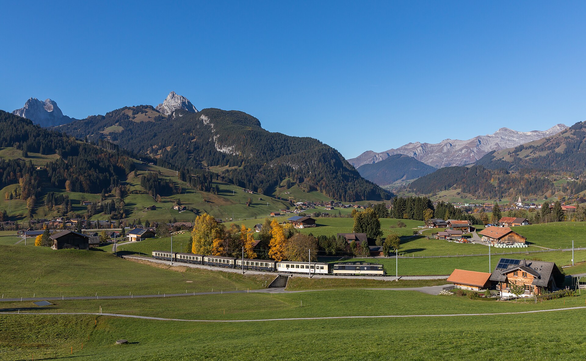
Barrhorn Alpine Ascent
Conquer Europe's highest officially marked hiking summit without ropes or glaciers.
 Featured
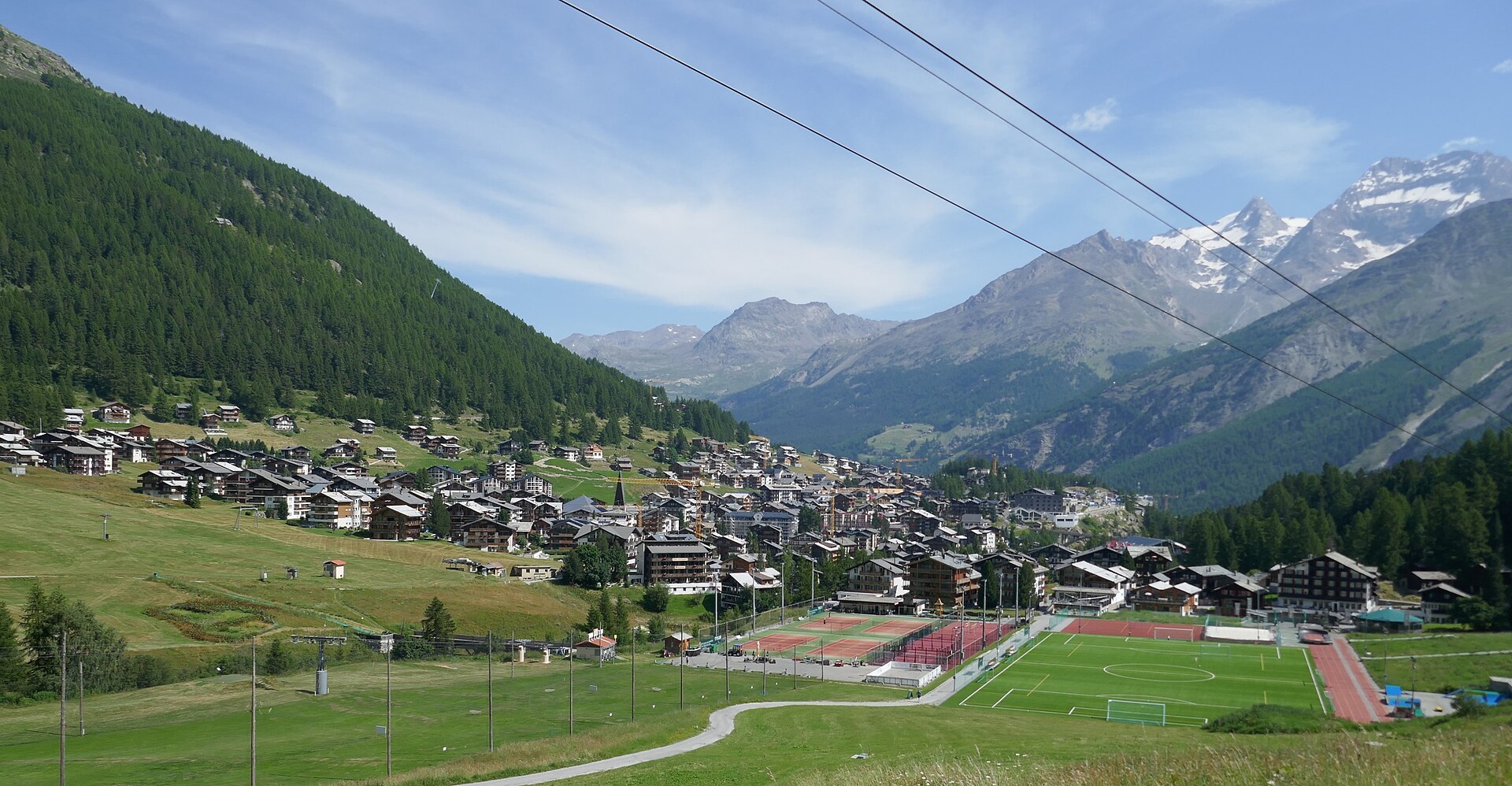
Mischabel Huts Approach
An extreme SAC T6 scramble above Saas-Fee up vertical ladders and iron rungs to the Mischabelhütte at 3,340 m.
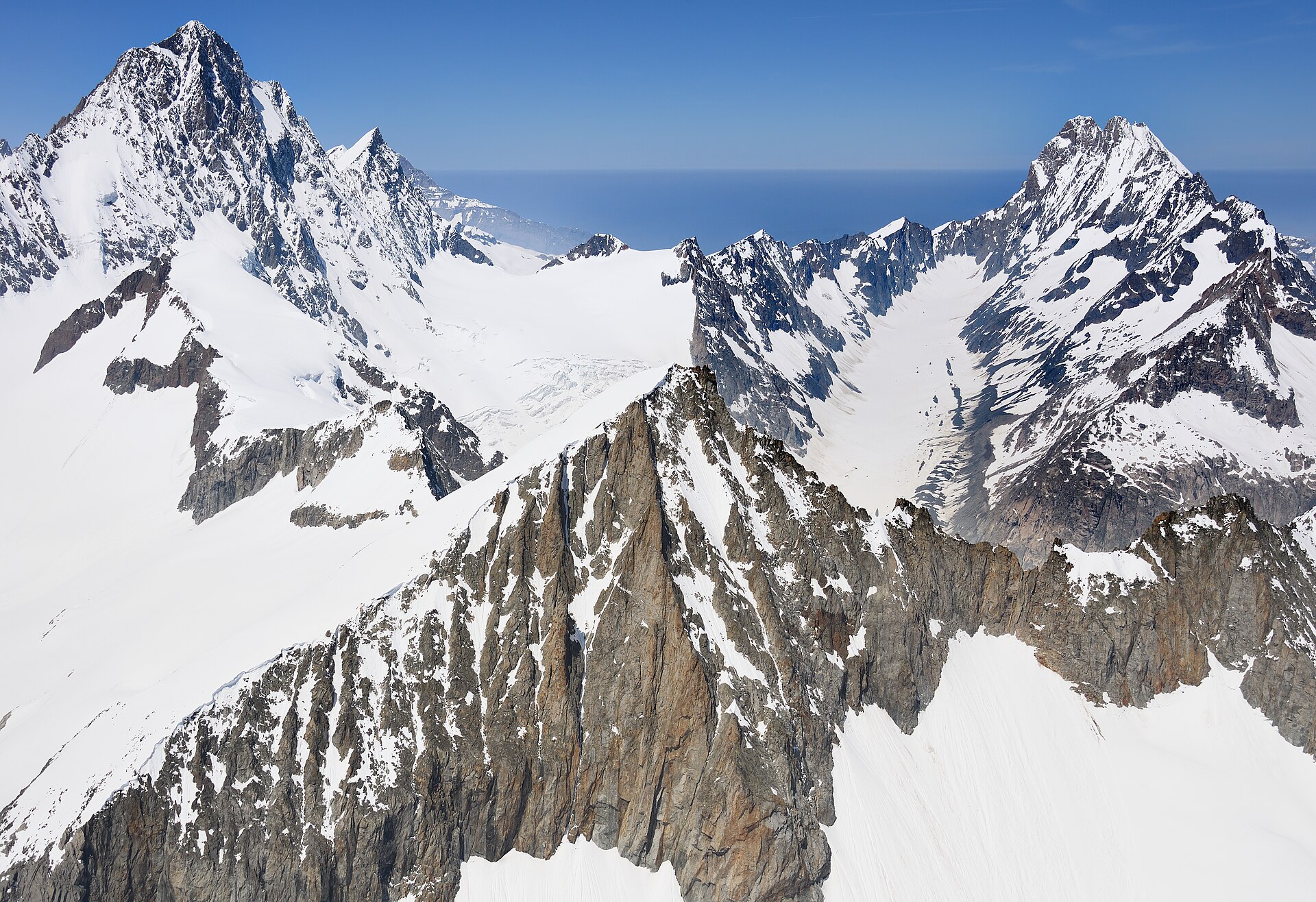
Äugststafel to Gemmipass High Trail
A dramatic high-alpine mountain traverse high above the Leukerbad thermal resort basin, linking Äugststafel with the historic Gemmipass hotel and cable car station. The trail tracks along high limestone cliffs and grassy slopes offering jaw-dropping panoramic views across the Valais Alps, including the towering peaks of the Weisshorn and Mischabel group. This classic route bridges Bernese and Valaisian alpine landscapes with secure, well-maintained paths.
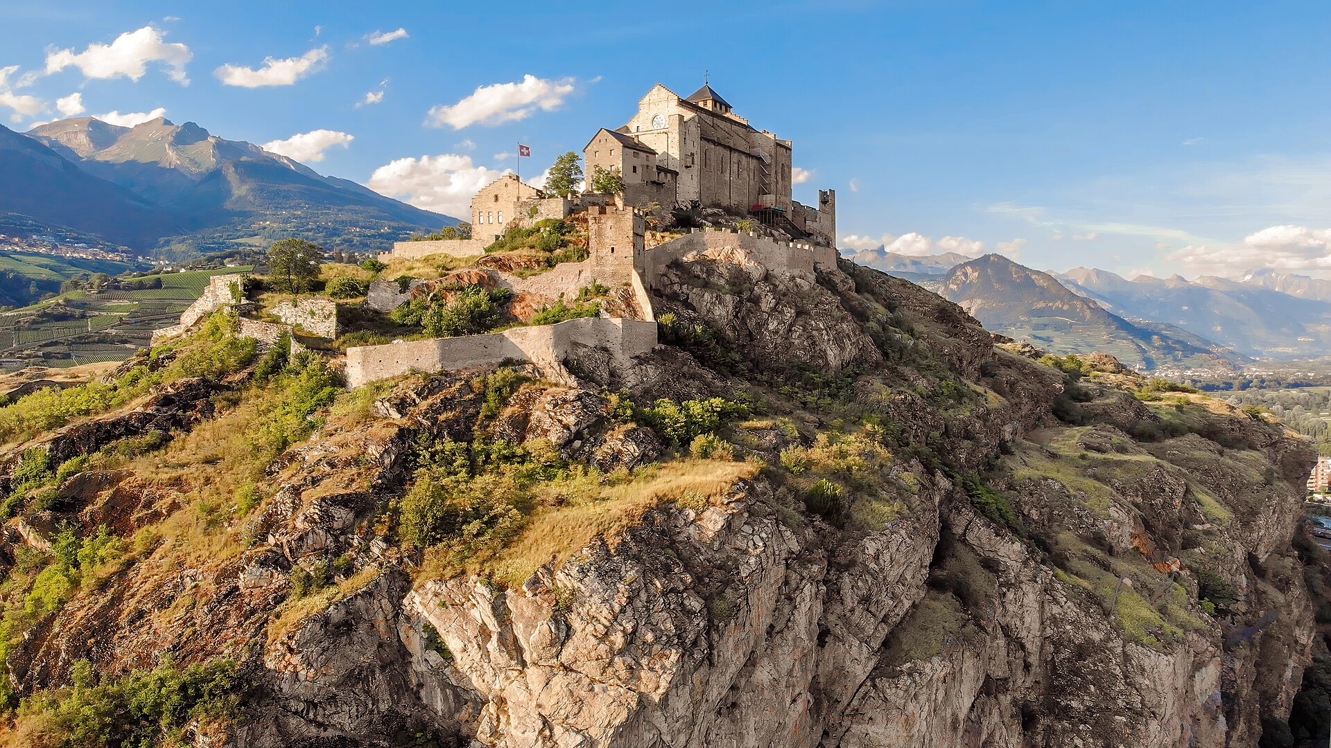
Agettes to Veysonnaz Historic Bisse Walk
A flat, gentle walking route following the contour lines of the historic Bisse de Vex along the sunny slopes of the Rhône Valley. Constructed in the 15th century to carry mountain meltwater to agricultural vineyards, the bisse canal path leads through fragrant larch and pine forests, across wooden footbridges, and past open clearings offering panoramic vistas toward Sion's historic castles and the Bernese Alps. The trail features practically zero incline, making it suitable for all ages and fitness levels.
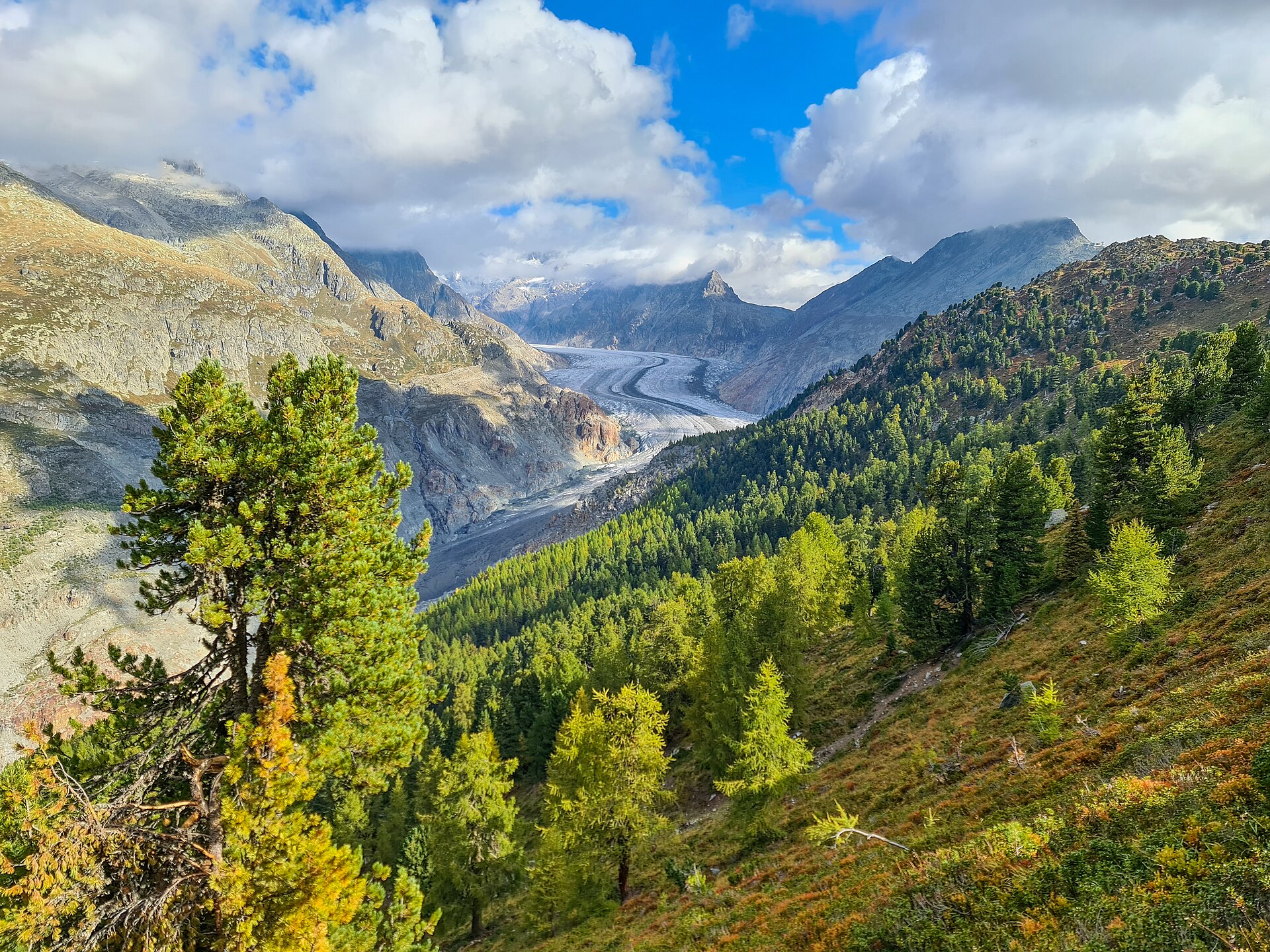
Aletsch Forest Nature Trail
Ancient Swiss pines on a ridge beside the Aletsch glacier.