
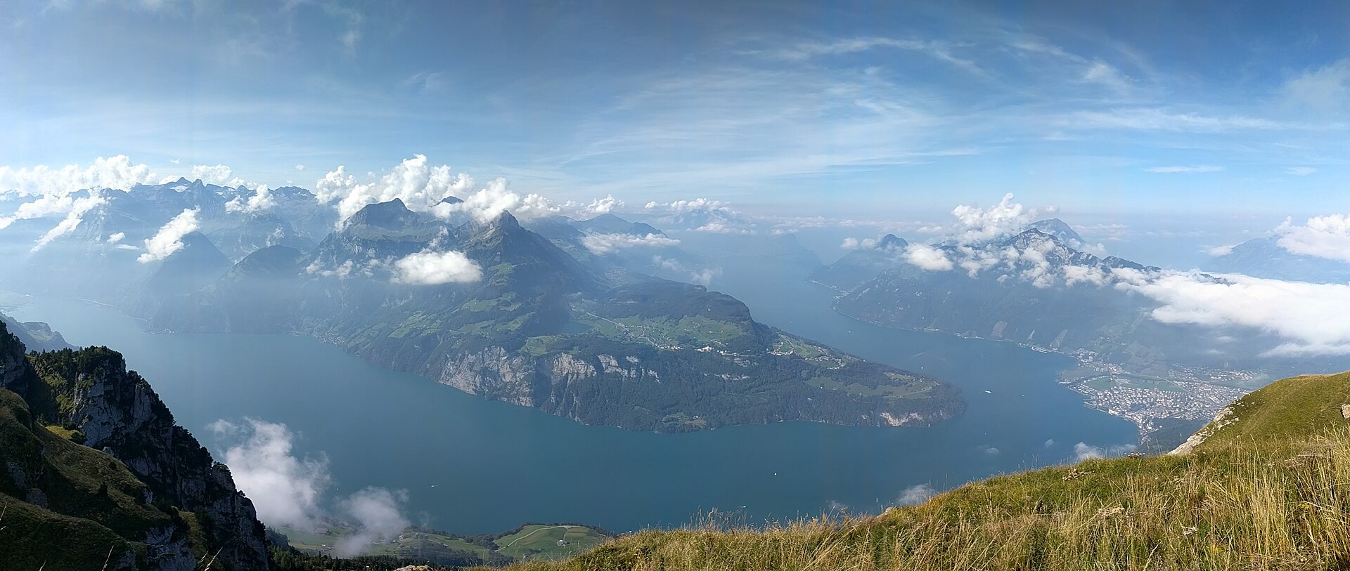
Rutli Meadow, Seelisberg Path
The Rütli is a meadow on the shore of Lake Uri, and according to Swiss tradition it is where representatives of three valleys swore an oath of alliance in 1291. Whether or not the story is precise, the place has a quiet weight, and the Swiss still gather here on 1 August. The walk from Seelisberg down to the meadow takes about an hour on forest paths with steps. The Swiss Path, or Weg der Schweiz, opened in 1991 for the 700th anniversary and runs along the lake, with each canton given its own section; the cliffs and the water of Lake Uri are a spectacle on their own.
- Distance
- 4 km
- Duration
- 1.5 h
- Ascent
- 50 m
- Difficulty
- Easy
At a glance
1/5
3/5
3/5
Apr – Oct
Route
The route, step by step
- 1
Boat to Treib
Take a lake boat from Brunnen or Lucerne to Treib, then the small funicular up to Seelisberg.
- 2
Seelisberg to the Rütli
A signed path descends through woodland with stairs and short steep sections. Allow about 1 h.
- 3
Rütli meadow
Walk across the meadow and sit by the shore. A small restaurant operates in season.
- 4
Boat home
Board a lake boat from the Rütli landing stage. Boats run seasonally, so check the timetable.
Elevation profile
Plan your day
Getting there & logistics
- Start
- Take a lake boat from Brunnen or Lucerne to Treib, then the small Treib-Seelisberg funicular up to Seelisberg, and start on the signed path.
- Finish
- Board a lake boat from the Rütli landing stage, which serves Brunnen, Flüelen and Lucerne from spring to autumn; boats run seasonally, so check the timetable twice, as missing the last one leaves you stranded.
- Parking
- Park at Brunnen or Treib and use the boat and funicular, as Seelisberg has limited parking. By car, drive to Brunnen via the A4, then follow signs to Seelisberg, about 25 minutes, with a narrow road leading up from Treib.
Before you leave, check
- Is the lift, boat or railway running today, and when is the last one down?
- Forecast for morning and afternoon (MeteoSwiss), and any storm warnings.
- Trail status: snow, rockfall or closures (local tourist office or lift operator).
- Last public transport home, and your plan if you miss it.
- Hut or restaurant opening days, and whether you need a reservation.
What this day costs
- Mountain lift, cable car or cogwheel train: usually the biggest cost of the day. Ask for the return fare and check pass discounts.
- Lake boat tickets: covered by a Swiss Travel Pass, partly by a Half Fare Card.
- Parking, if you drive: day rates vary by place and season, and some car parks fill early.
- Food and drink: mountain restaurants cost noticeably more than the valley. A picnic cuts the day cost sharply.
- Entry fees where they apply, for example caves, gorges or lakeside facilities.
Plan B if the weather turns
Visit the Forum of Swiss History in Schwyz.
Good to know
- Rainy day
- Visit the Forum of Swiss History in Schwyz.
- With kids
- A fun route with a boat and a funicular.
- Dogs
- Allowed on lead.
Stay & rest
Rest options & mountain huts
Rütli restaurant
Seasonal, in a farmhouse by the meadow; check opening days.
Seelisberg village restaurants
A few options before the descent.
Brunnen lakeside cafés
For a coffee while waiting for the boat.
Where to stay
Budget – Youth Hostel Luzern
A big, modern hostel with lake views in Lucerne.
Mid-range – Hotel Waldstätterhof
A lakeside hotel in Brunnen close to the boat landing.
Upper tier – Hotel Schweizerhof Luzern
A historic five-star hotel on the Lucerne lakefront.
We may earn a commission from bookings made through this link.
Gear
Essential trail gear
- Shoes with grip for the woodland steps and short steep sections.
- A rain layer, as the lake weather can turn quickly.
- Cash for the boat and funicular.
- A camera, plus a picnic if you plan to stay at the meadow.
For this hike
- Shoes with grip for the steps.
- Rain layer.
- Cash for the boat and funicular.
- Camera.
- Picnic if you plan to stay at the meadow.
Always
- Sturdy hiking shoes with real tread (trainers only on the flattest routes).
- Water, at least 1 to 1.5 litres per person, more in summer.
- Rain shell and one warm layer, even on a sunny morning.
- Sun cream, hat and sunglasses (UV rises about 10% per 1,000 m).
- Snacks or a picnic and some cash in coins and small notes.
- Phone with offline map (SwissTopo or Komoot), power bank, ID.
- Small first-aid kit: plasters, blister tape, painkillers.
Background
Route notes
Take a lake boat from Brunnen or Lucerne to Treib, then the small funicular up to Seelisberg, from where a signed path descends through woodland with stairs and short steep sections in about an hour. Walk across the Rütli meadow and sit by the shore, where a small restaurant operates in season, before boarding a lake boat from the Rütli landing stage. On 1 August the meadow hosts an official celebration, so come on another day for quiet, and check the boat timetable twice because if you miss the last one you are stuck. The Swiss Path continues along the lake to Brunnen if you want a longer day, and fog on the lake can be dramatic, though you should check visibility on the path. It is a fun route for children with a boat and a funicular; dogs are allowed on a lead. On a rainy day the Forum of Swiss History in Schwyz makes a good alternative.
Nearby hikes
- Brüggli to Sisikon Lake Uri Trail – Lake Uri (Urnersee), UR
- Rigi Kulm Panorama & Queen of the Mountains Trail – Lake Lucerne / Rigi Massif, SZ
- Einsiedeln Abbey and the Sihlsee – Einsiedeln, SZ
More things to do nearby
We may earn a commission from bookings made through this link.
Browse experiences on GetYourGuideDid you know?
You might also like
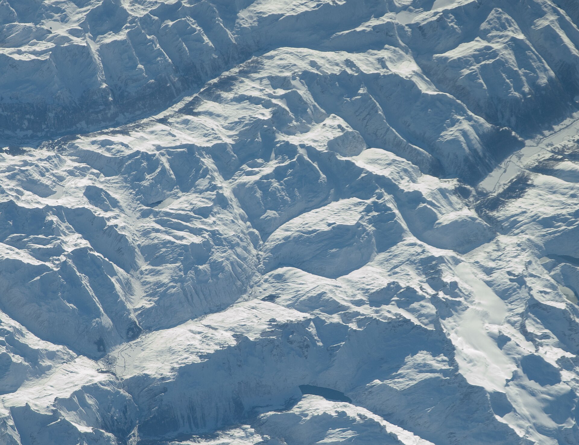
Andermatt to Oberalppass Historic Route
A historic alpine pass hike following ancient mule tracks along the infant Rhine river from the mountain crossroads of Andermatt up to the scenic summit of Oberalppass. The trail weaves past traditional Walser wooden barns, rushing torrents, and peat bogs under the shadow of towering Uri and Grisons peaks. Hikers can pause at the iconic red lighthouse marking the Rhine's source at Lake Toma (Lai da Tuma) just above the pass.
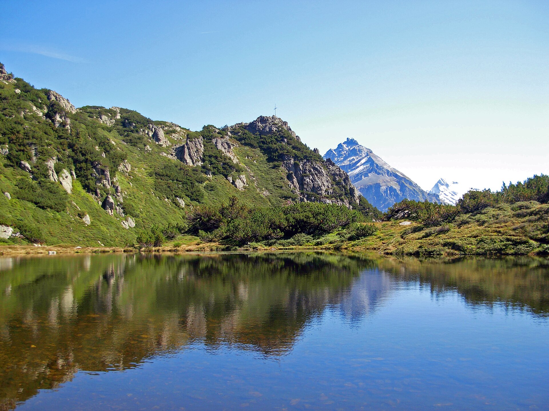
Arnisee Circuit & Lake Loop
A peaceful and picturesque high-altitude lake loop centered around idyllic Lake Arnisee (Arnisee), perched on a sunny terrace high above the Reuss Valley. Accessible via charming small aerial cable cars from Intschi or Amsteg, the trail circles the sparkling, forest-fringed mountain lake before winding through mossy pine woods and grassy clearings. It is a favorite family-friendly destination offering stunning reflections of the Uri Alps.
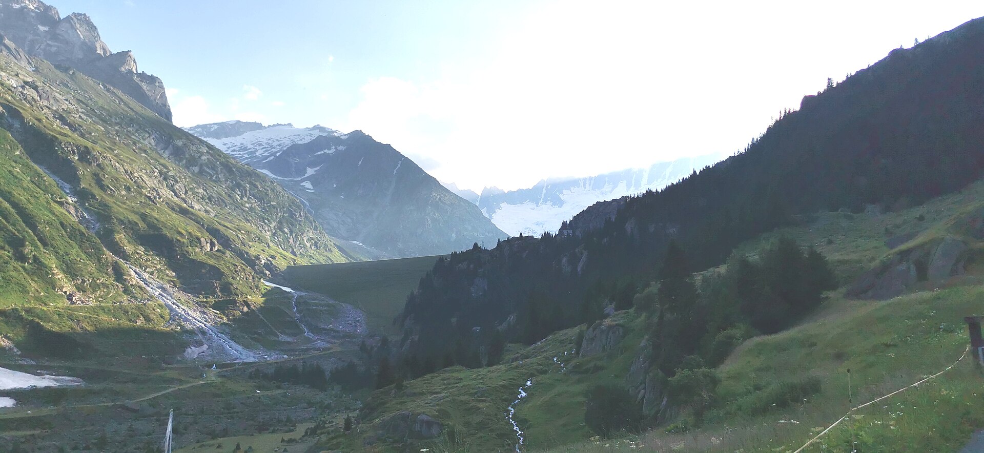
Bergseehütte from Göscheneralp
A steep rocky path up a granite gorge to a hut above a deep blue lake.
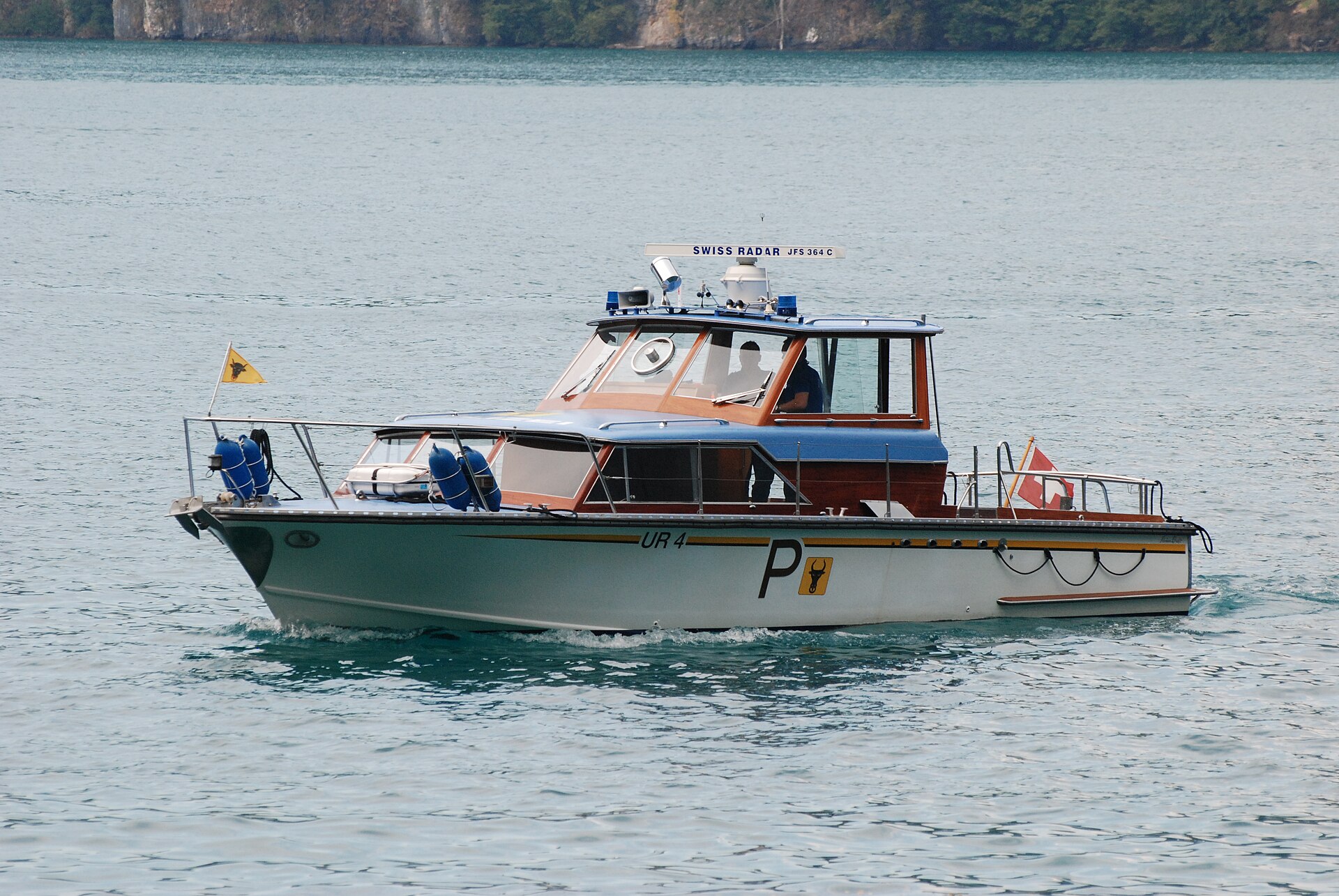
Brüggli to Sisikon Lake Uri Trail
A stunning and historic cliffside balcony trail running high above the deep blue waters of Lake Uri (Urnersee, the southern arm of Lake Lucerne) between Brüggli and Sisikon. Walking along parts of the historic Swiss Path (Weg der Schweiz), the route hugs sheer limestone cliff walls and ancient chestnut groves, offering magnificent fjord-like views across the lake toward the Rütli meadow and Schillerstein monument.
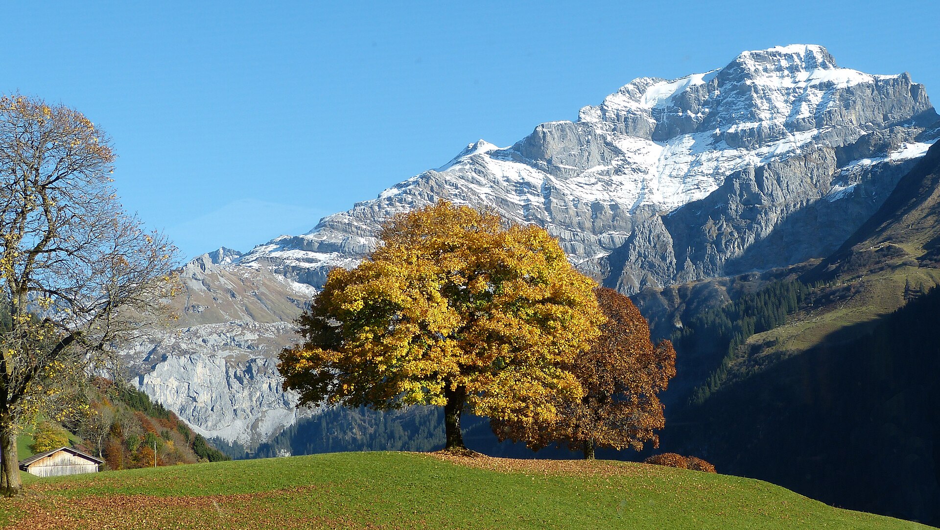
Klausen Pass & Fätschbach Waterfall Trail
A legendary high-alpine pass and valley hike exploring the historic Klausen Pass (1,948 m) connecting Canton Uri with Canton Schwyz. The trail meanders past roaring glacial streams, thunderous waterfalls (including the magnificent Fätschbach falls), historic stone mule-track bridges, and expansive pastoral alpine high plateaus grazed by Swiss cattle.
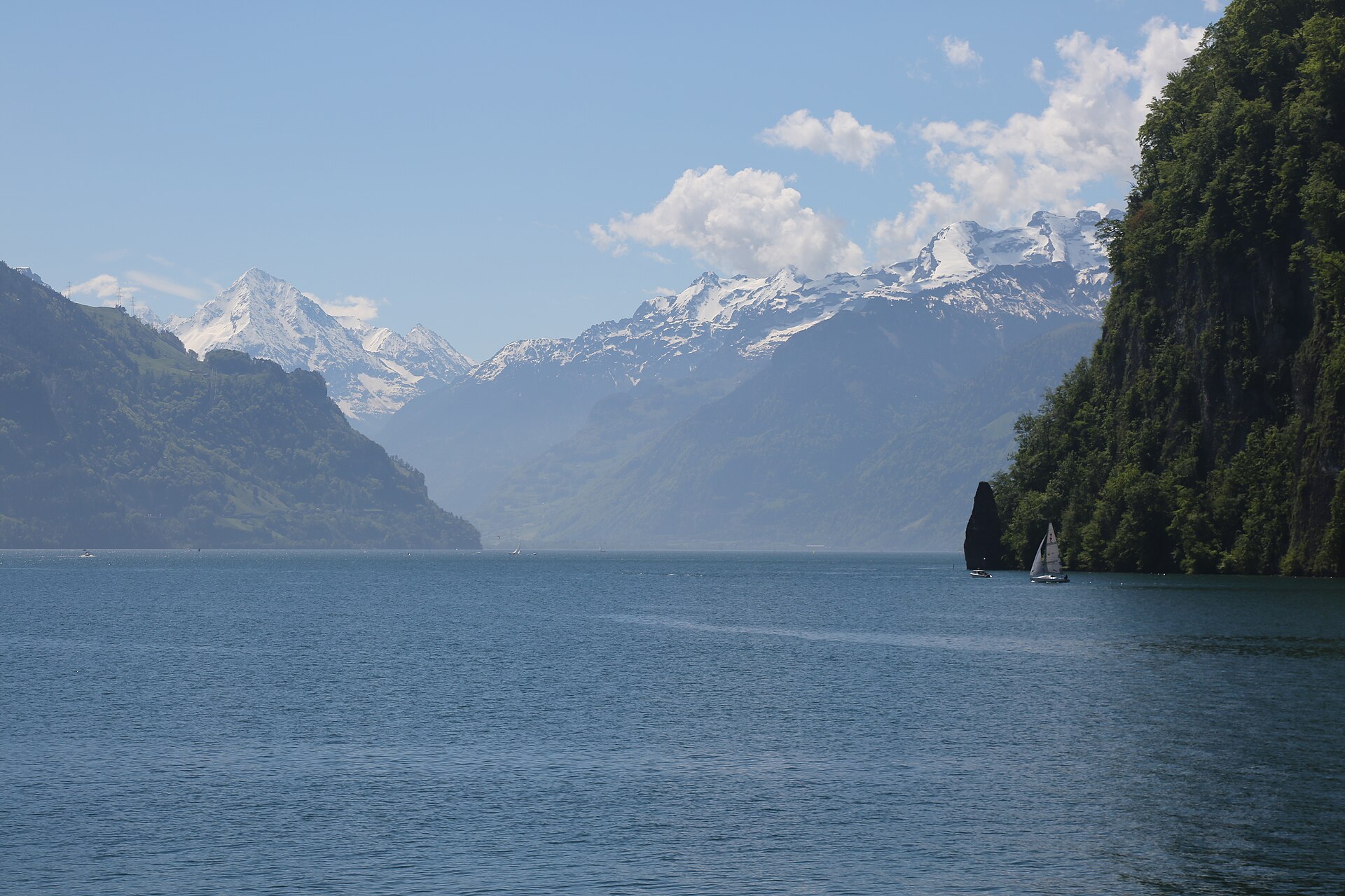
Maderanertal and the Hüfihütte
A hidden valley with waterfalls and a hut under the Hüfi glacier.