
Santis Summit via Tierwis
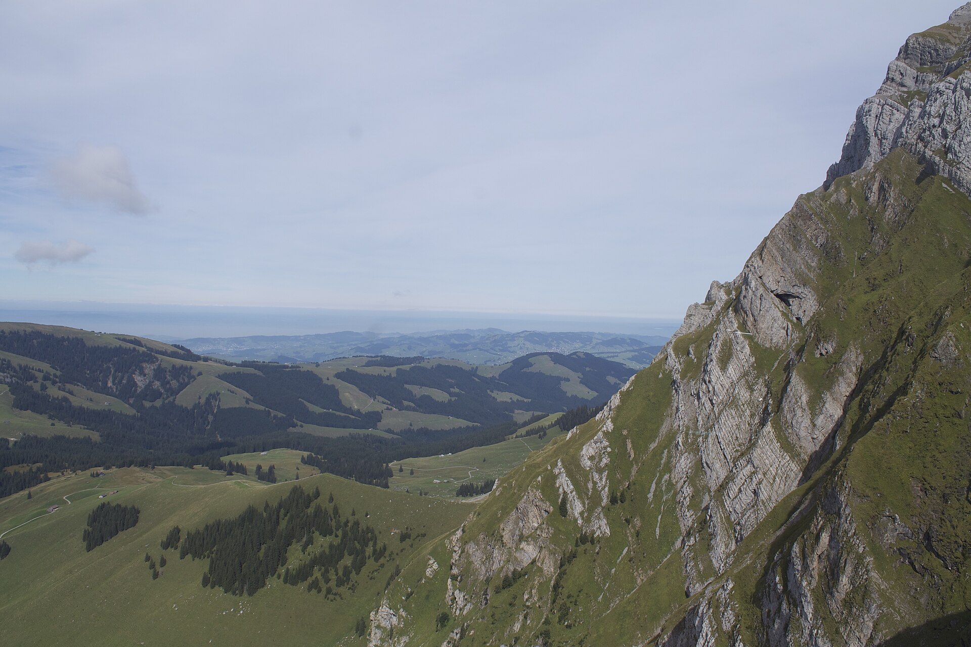
The Säntis is the high point of the Alpstein massif and a landmark across north-eastern Switzerland. On a clear day the summit at 2,502 metres reveals parts of Switzerland, Germany, Austria, Liechtenstein, France and Italy. A cable car runs from Schwägalp, but climbing on foot is a full mountain day: the route goes by the Tierwis mountain inn and a long, steady climb of about 1,150 metres to the summit ridge, where the last stretch uses short sections of fixed cable. The effort is big and the weather often changes fast, but the reward is a real summit above a calm landscape of lakes and pasture.
- Distance
- 12 km
- Duration
- 6.5 h
- Ascent
- 1'150 m
- Difficulty
- Hard
Safety warning
A demanding T3 mountain day with fast-changing weather. The summit ridge has exposed sections, scree and short fixed-cable stretches where care with loose rock is needed. Do not attempt the fixed-cable sections in fog or wet conditions, start early because afternoon storms are common, and take the cable car down if the weather turns.
Route
The route, step by step
- 1
Schwägalp to Tierwis
A broad path climbs through pasture and scree. Allow about 2 h.
- 2
Tierwis to the ridge
The path steepens and passes under rock walls. Some sections are rocky.
- 3
Summit ridge
The last stretch uses short fixed-cable sections. Take care with loose rock.
- 4
Summit
Rest at the summit restaurant. The weather station and cable car terminal are here.
- 5
Descent
Most people take the cable car down. Walking down is long and hard on the knees.
Elevation profile
Plan your day
Getting there & logistics
- Start
- From St. Gallen or Appenzell take the PostBus or train to Schwägalp via Urnäsch, about an hour. The marked route climbs from Schwägalp through pasture and scree towards Tierwis.
- Finish
- Most people take the Säntis cable car down from the summit to Schwägalp; check the timetable for the last descent, as walking down is long and hard on the knees.
- Parking
- There is a paid car park at Schwägalp near the cable car station. By car, reach Schwägalp from Urnäsch, about 30 minutes from St. Gallen.
Good to know
- Rainy day
- Visit the Appenzell cheese dairy for a tasting.
- With kids
- Not recommended for young children.
- Dogs
- Possible, but the fixed-cable sections are not suitable for most dogs.
Stay & rest
Rest options & mountain huts
Berggasthaus Tierwis
The main stop on the route, a mountain inn below the final climb to the ridge.
Säntis summit restaurant (2'502 m)
At the top, with large windows, the place to rest beside the weather station and cable car terminal.
Schwägalp restaurants
Several options at the start and end of the walk, good for a meal before or after the climb.
Where to stay
Budget – Berggasthaus Tierwis
A mountain inn on the route with dorm beds; book ahead for summer weekends and bring a sleeping liner.
Mid-range – Hotel Säntis
A hotel at Schwägalp next to the cable car station, handy for an early start.
Upper tier – Hof Weissbad Hotel & Spa
A large spa hotel set in a green valley at Weissbad, about 40 minutes away by car.
We may earn a commission from bookings made through this link.
Gear
Essential trail gear
- Sturdy mountain boots: the route crosses scree and short fixed-cable sections on sharp limestone.
- Warm layers, gloves and hat: the summit is exposed and the weather can change fast.
- Poles, sun cream and sunglasses: UV rises about 10% per 1,000 metres of altitude.
- Plenty of water, at least 2 litres, plus snacks and some coins for mountain inns.
For this hike
- Sturdy mountain boots.
- Warm layers, gloves and hat.
- Poles.
- Sun cream and sunglasses.
- Plenty of water, at least 2 litres.
Always
- Sturdy hiking shoes with real tread (trainers only on the flattest routes).
- Water, at least 1 to 1.5 litres per person, more in summer.
- Rain shell and one warm layer, even on a sunny morning.
- Sun cream, hat and sunglasses (UV rises about 10% per 1,000 m).
- Snacks or a picnic and some cash in coins and small notes.
- Phone with offline map (SwissTopo or Komoot), power bank, ID.
- Small first-aid kit: plasters, blister tape, painkillers.
Background
Route notes
Climbing the Säntis on foot from Schwägalp is a proper mountain day, not a cable-car outing. A broad path first climbs through pasture and scree to the Berggasthaus Tierwis, about two hours up, then steepens under rock walls over rockier ground before the summit ridge, where short fixed-cable sections ask for care with loose rock. At the top, rest in the summit restaurant beside the weather station and cable car terminal, and on a clear day pick out six countries from the terrace. Start early, because afternoon storms are common, check the summit webcam before you set out, and never tackle the fixed-cable sections in fog or wet. Most walkers ride the cable car back down, which also gives you an easy escape if the weather turns. It is not recommended for young children, and the cabled sections suit few dogs. For a rainy day, a tasting at the Appenzell cheese dairy is a fine fallback.
Nearby hikes
- Santis Massif Summit & Geological Ridge Trail – Alpstein / Appenzell Alps, AR
- Säntis via the Lisengrat Ridge – Wasserauen, AI
- Hundstein Summit Ridge Hike – Alpstein / Appenzell Alps, AI
More things to do nearby
We may earn a commission from bookings made through this link.
Browse experiences on GetYourGuideDid you know?
Women in Appenzell Innerrhoden only gained the cantonal vote in 1991.
Politics & HistoryThe Landsgemeinde, an open-air hand-vote assembly, is still held in Appenzell.
Politics & HistoryIn Glarus, and until recently Appenzell, citizens still vote by raising their hands in an open-air assembly called the Landsgemeinde.
You might also like
Alpstein Ridge Crossing (Wasserauen to Hoher Kasten)
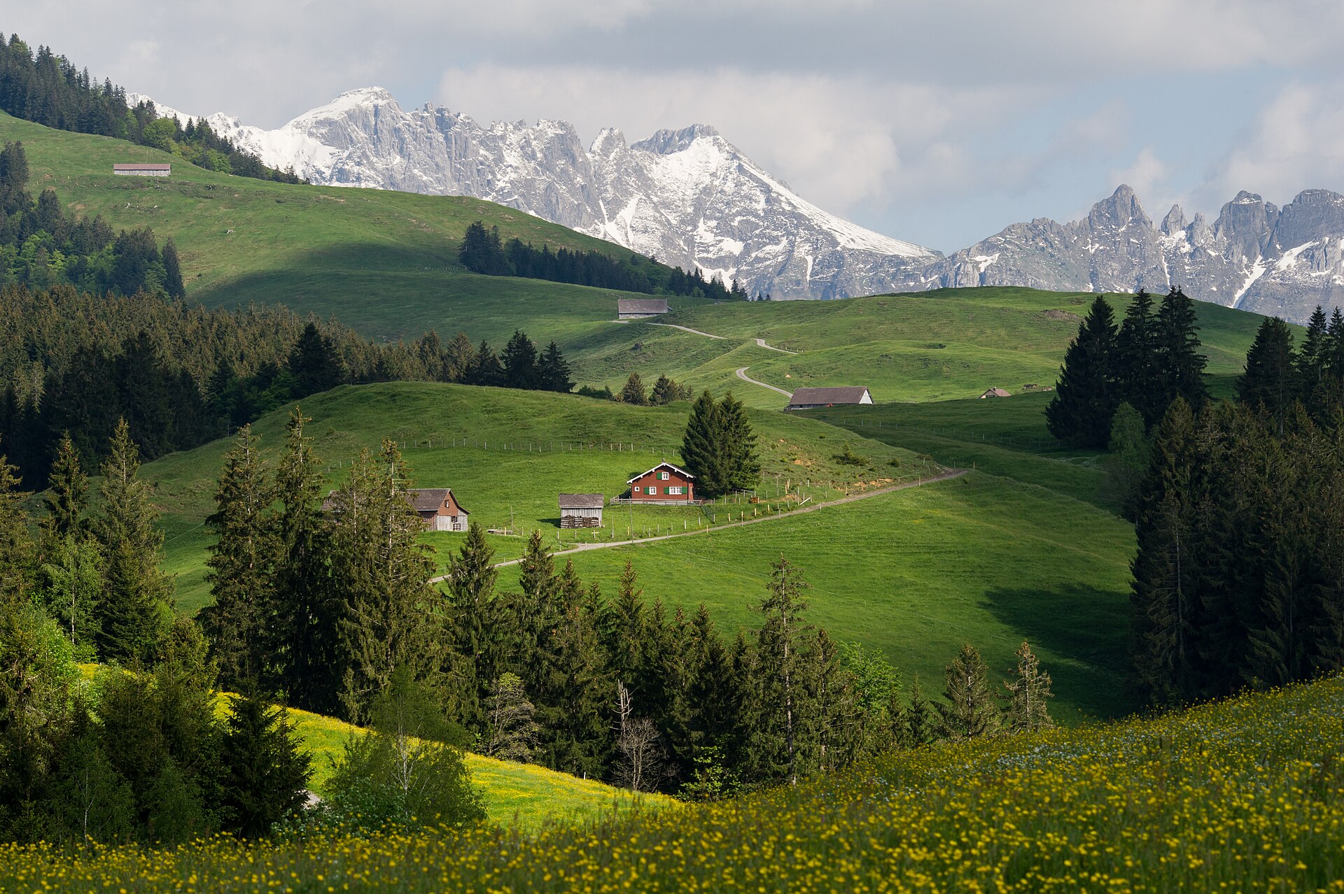
A legendary high-altitude traverse across the eastern backbone of the Alpstein massif. Starting from Wasserauen, the route climbs steeply past Meglisalp, traverses beneath the towering limestone walls of Altmann and Säntis, and crosses the breathtaking Ridge of Staubern before arriving at the revolving restaurant summit of Hoher Kasten. The trail demands sure-footedness and a head for heights, rewarding hikers with panoramic vistas stretching across Lake Constance into Germany and Austria.
Appenzell Cultural Meadow Trail
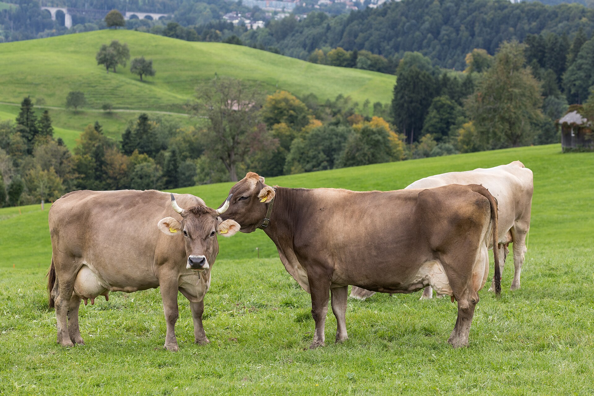
An idyllic and culturally rich valley walk weaving through the rolling green hills, traditional dairy farms, and painted timber hamlets surrounding the historic village of Appenzell. The trail follows quiet country lanes and farm tracks past open meadows famous for organic cheese production, historic pilgrimage chapels, and panoramic views of the dramatic Alpstein limestone mountains. This walk offers a deep immersion into authentic Swiss rural heritage.
Ebenalp to Äscher & Wildkirchli Cliff Trail
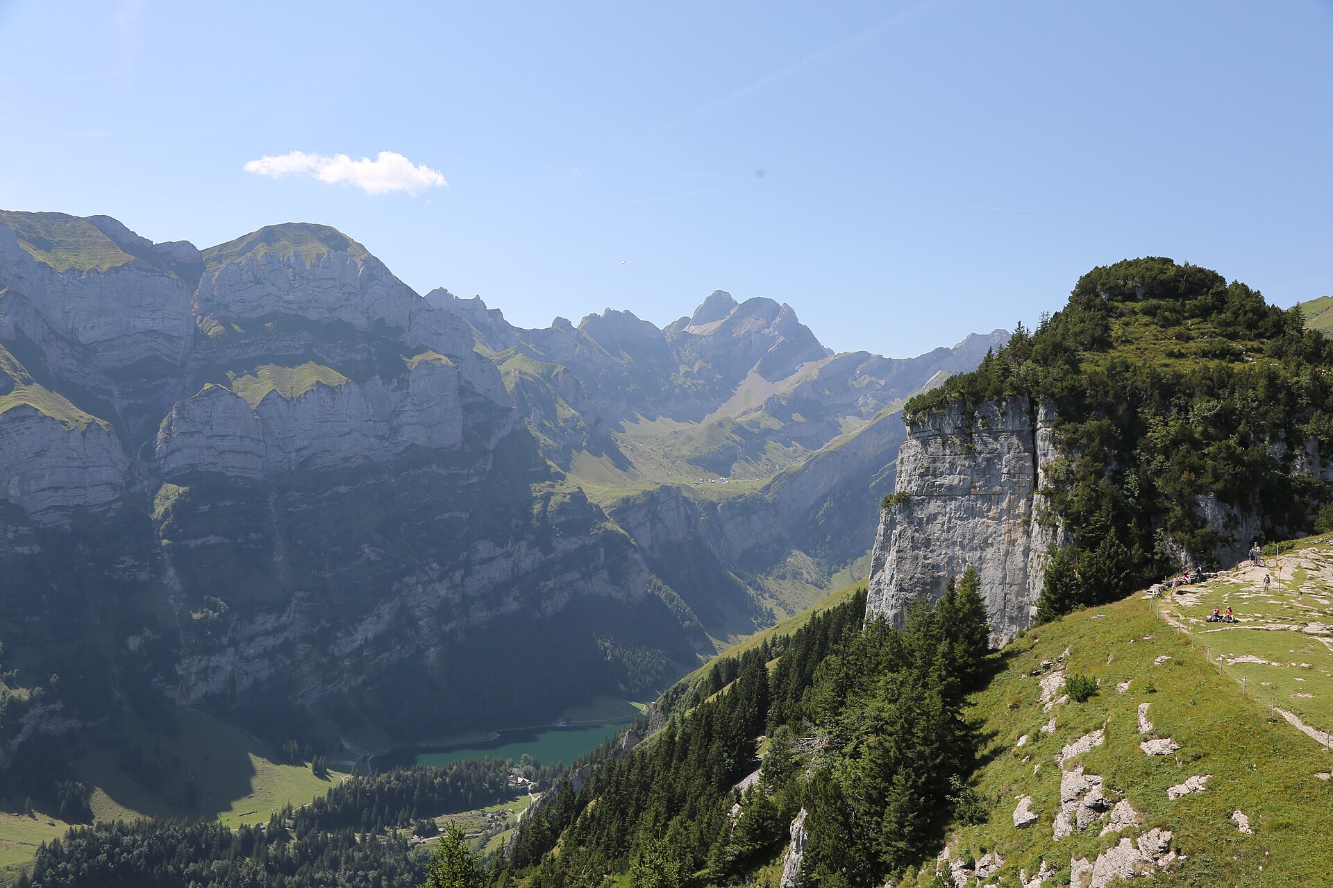
One of the most world-famous and iconic hiking routes in Switzerland. Starting from the Ebenalp high plateau (1,640 m), the trail descends through pre-historic limestone caves (Wildkirchli), past a 400-year-old wooden hermit chapel carved into the rock, and reaches the legendary Äscher Cliff Restaurant (Berggasthaus Äscher-Wildkirchli), clinging directly to a sheer 100-meter vertical limestone cliff. The route then continues down to the emerald waters of Lake Seealpsee.
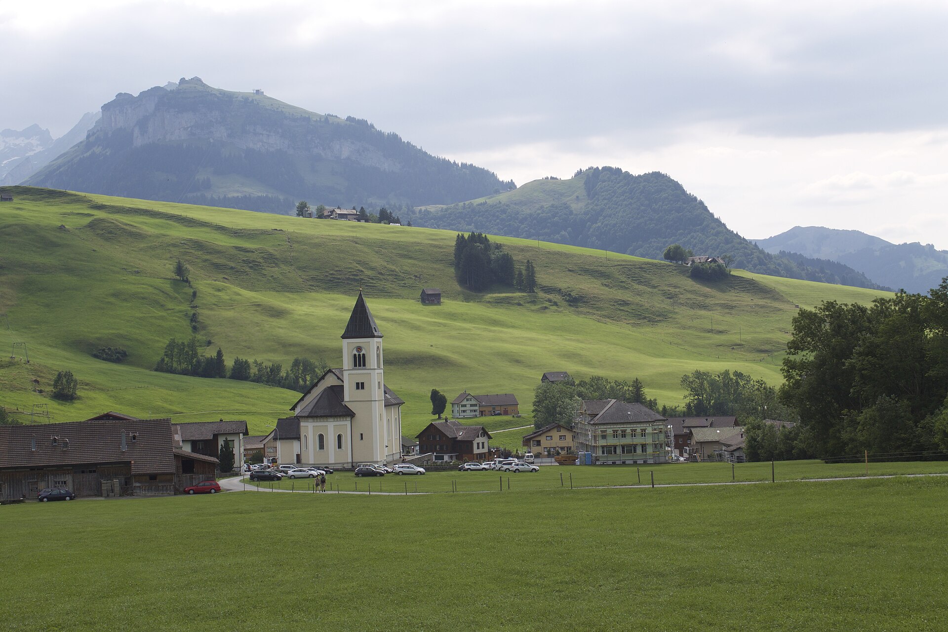
Fälensee and Bollenwees in the Alpstein
A deep green lake at the end of a quiet Alpstein valley, with a mountain inn on the shore.
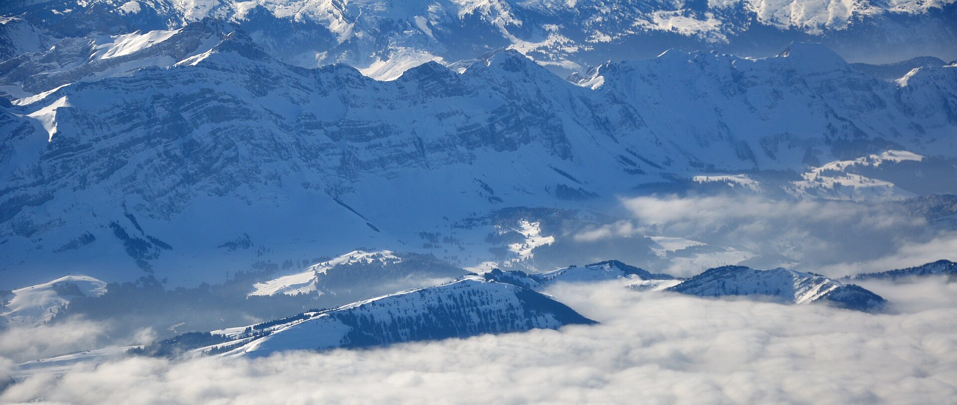
Fählensee & Widderalp High Valley Trail
A magnificent and iconic high-alpine valley hike in the Alpstein massif leading to Fählensee, widely considered one of the most picturesque mountain lakes in Switzerland. Surrounded by sheer vertical limestone cliffs rising nearly 1,000 meters above the water, the trail winds from Brülisau via Staubern or Sämtisersee into the pristine Fählensee basin, passing traditional alpine dairy huts and dramatic geological formations.
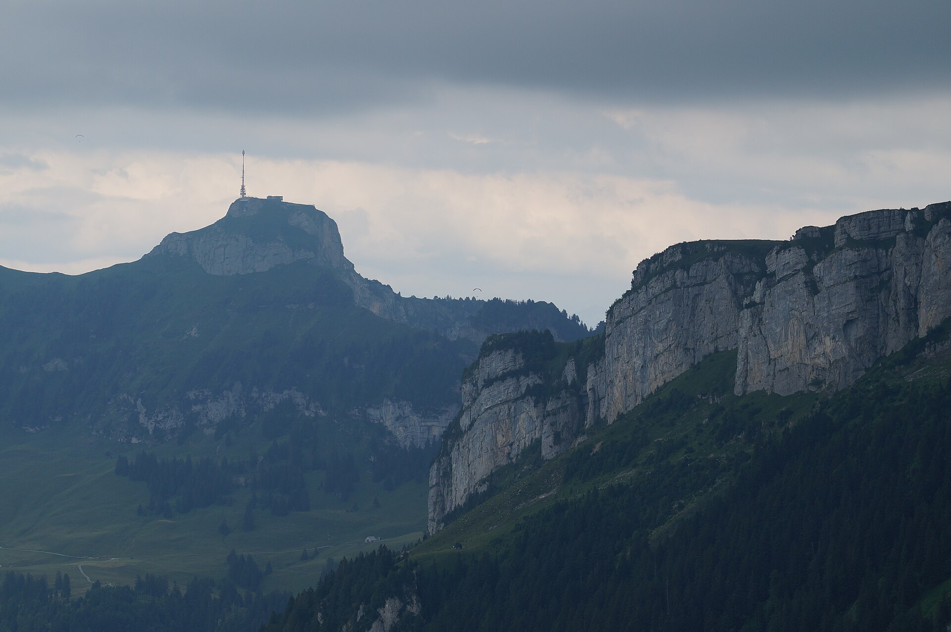
Hoher Kasten Ridge & Revolving Restaurant Trail
A breathtaking ridge-top hike exploring the eastern perimeter of the Alpstein massif in northeastern Switzerland. Starting from the summit of Hoher Kasten (1,795 m)—famous for its revolving mountaintop restaurant and 360-degree panorama encompassing six countries—the trail winds along engineered cliffside footpaths through geological wonderland rock formations and alpine meadows down toward Saxer Lücke and Staubern.