
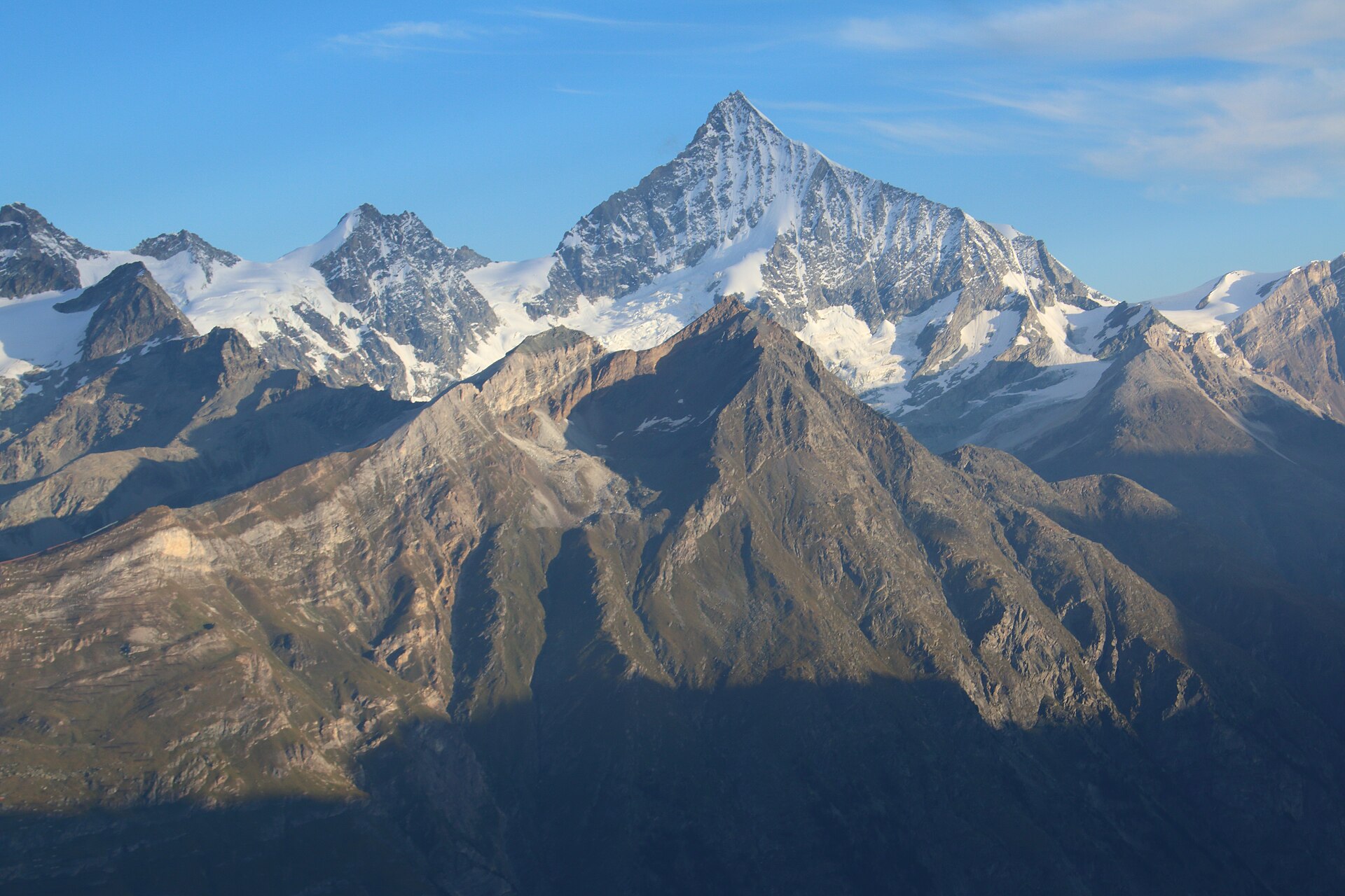
Unterrothorn to Stellisee & Zermatt Mirror Trail
A legendary high-alpine panorama hike in Zermatt descending from the majestic Unterrothorn summit at 3,103 meters. Featuring sweeping views of 38 four-thousand-meter peaks, the trail winds past crystal-clear alpine tarns—most notably **Stellisee**, world-famous for its iconic, mirror-like reflection of the Matterhorn—before leading down through alpine meadows to Blauherd and Sunnegga. ---
- Distance
- 5.5 km
- Difficulty
- Moderate
Route
The route, step by step
- 1
Stage 1: Unterrothorn Summit Station to Stellisee
From Unterrothorn summit station (3,103 m), follow signposted high-alpine walking paths descending past rocky scree slopes directly to the shores of Stellisee (2,537 m). (2.2 km, +20 m / -510 m)
- 2
Stage 2: Stellisee to Blauherd Station
Continue along the gentle, well-graded gravel trail winding through alpine meadows and dwarf rhododendron bushes down to Blauherd cable car station. (2.3 km, +40 m / -160 m)
- 3
Stage 3: Return via Sunnegga Express Funicular
Conclude the hike at Blauherd and take the cable car/funicular connection via Sunnegga down to Zermatt village. (1.0 km or via Funicular)
Plan your day
Getting there & logistics
- Start
- SBB train to Visp, Matterhorn Gotthard Bahn to Zermatt. Walk 10 minutes to the Sunnegga underground funicular valley station.
- Finish
- Return via same route or loop connection
- Parking
- Zermatt is strictly car-free. Park at Täsch terminal multi-story parking garage and take the 12-minute Matterhorn shuttle train into Zermatt.
Good to know
- Rainy day
- Check local weather forecasts and mountain railway operational schedules before departure.
Stay & rest
Rest options & mountain huts
Panoramic Picnic Spot
Stellisee Eastern Shore Benches — Flat stone seating areas situated directly beside the mirror tarn facing the Matterhorn.
Supermarket Prep
Coop or Migros Zermatt village center near the station before boarding the funicular.
On-Trail Mountain Inn
**Fluhalp Mountain Lodge** or **Bergrestaurant Blauherd** — Famous for Valais dried meat platters, cheese soup, and sunny terrace refreshments.
Where to stay
Budget – Zermatt Youth Hostel
Modern, high-standard alpine lodge offering wonderful value in Zermatt village.
Upscale – The Omnia Zermatt
5-star luxury alpine lodge perched on a rock cliff overlooking Zermatt and the Matterhorn.
We may earn a commission from bookings made through this link.
Gear
Essential trail gear
For this hike
- Sturdy hiking boots
- Windproof shell jacket
- Water bottle (1.5L)
Always
- First aid kit
- Alpine emergency blanket
- Swiss topographic map / Komoot
Background
Route notes
A legendary high-alpine panorama hike in Zermatt descending from the majestic Unterrothorn summit at 3,103 meters. Featuring sweeping views of 38 four-thousand-meter peaks, the trail winds past crystal-clear alpine tarns—most notably **Stellisee**, world-famous for its iconic, mirror-like reflection of the Matterhorn—before leading down through alpine meadows to Blauherd and Sunnegga. ---
Nearby hikes
- Riffelberg to Gornergrat Glacier View Trail – Zermatt / Gornergrat Region, VS
- Five Lakes Walk, Zermatt – Zermatt, VS
- Matterhorn Glacier Trail (Trockener Steg to Schwarzsee) – Zermatt / Matterhorn Region, VS
Where to stay nearby
- Alpine Retreat, Zermatt – Zermatt, VS
Experiences near this hike
We may earn a commission from bookings made through this link.
 Sponsoredfrom CHF 99Sponsoredfrom CHF 120Sponsoredfrom CHF 95
More things to do nearby
We may earn a commission from bookings made through this link.
Browse experiences on GetYourGuideDid you know?
Jungfraujoch is Europe's highest railway station (3,454 m).
Politics & HistoryJ.R.R. Tolkien's 1911 walking tour of Switzerland heavily influenced the landscapes of The Lord of the Rings.
Geography & NatureGrande Dixence is the world's tallest gravity dam (285 m) and holds 400 million m³.
You might also like
 Sponsored
Alpine Retreat, Zermatt
A design mountain lodge with Matterhorn views.
We may earn a commission from bookings made through this link.
 Featured
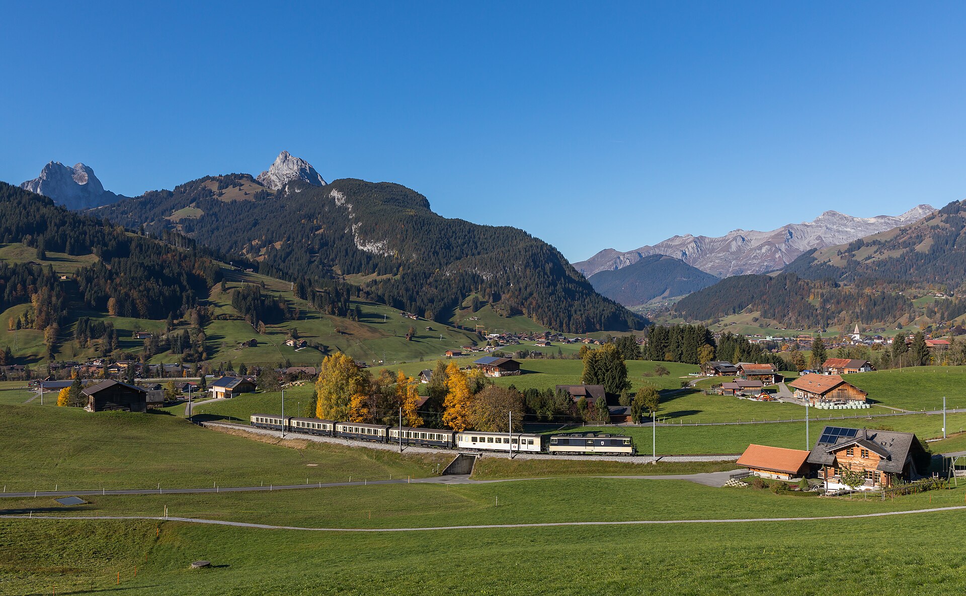
Barrhorn Alpine Ascent
Conquer Europe's highest officially marked hiking summit without ropes or glaciers.
 Featured
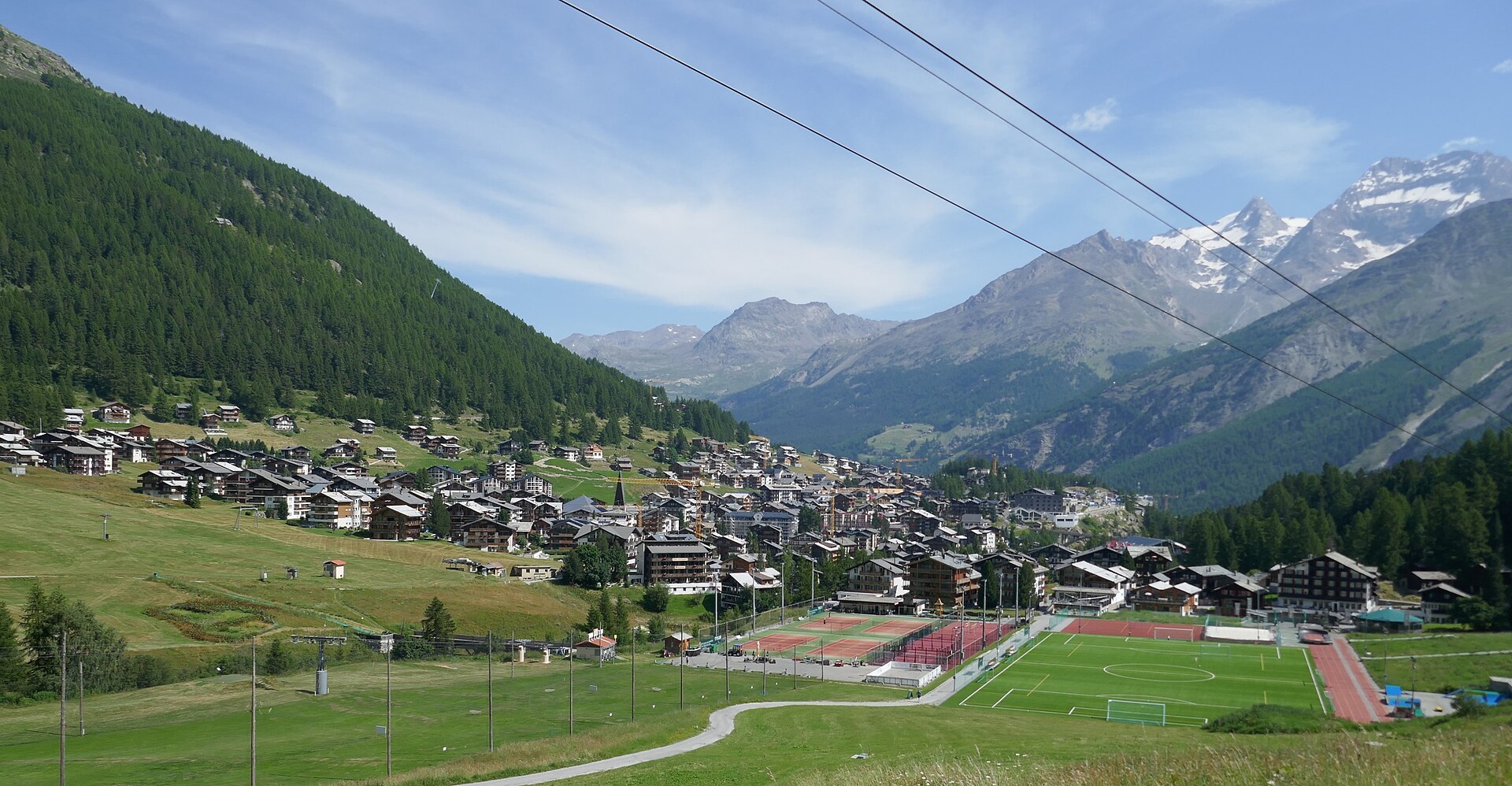
Mischabel Huts Approach
An extreme SAC T6 scramble above Saas-Fee up vertical ladders and iron rungs to the Mischabelhütte at 3,340 m.
Äugststafel to Gemmipass High Trail
A dramatic high-alpine mountain traverse high above the Leukerbad thermal resort basin, linking Äugststafel with the historic Gemmipass hotel and cable car station. The trail tracks along high limestone cliffs and grassy slopes offering jaw-dropping panoramic views across the Valais Alps, including the towering peaks of the Weisshorn and Mischabel group. This classic route bridges Bernese and Valaisian alpine landscapes with secure, well-maintained paths.
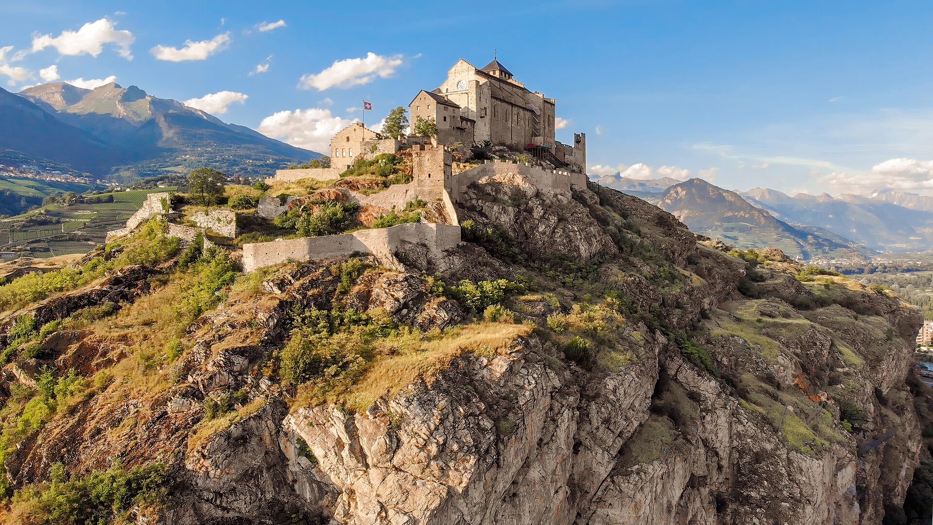
Agettes to Veysonnaz Historic Bisse Walk
A flat, gentle walking route following the contour lines of the historic Bisse de Vex along the sunny slopes of the Rhône Valley. Constructed in the 15th century to carry mountain meltwater to agricultural vineyards, the bisse canal path leads through fragrant larch and pine forests, across wooden footbridges, and past open clearings offering panoramic vistas toward Sion's historic castles and the Bernese Alps. The trail features practically zero incline, making it suitable for all ages and fitness levels.
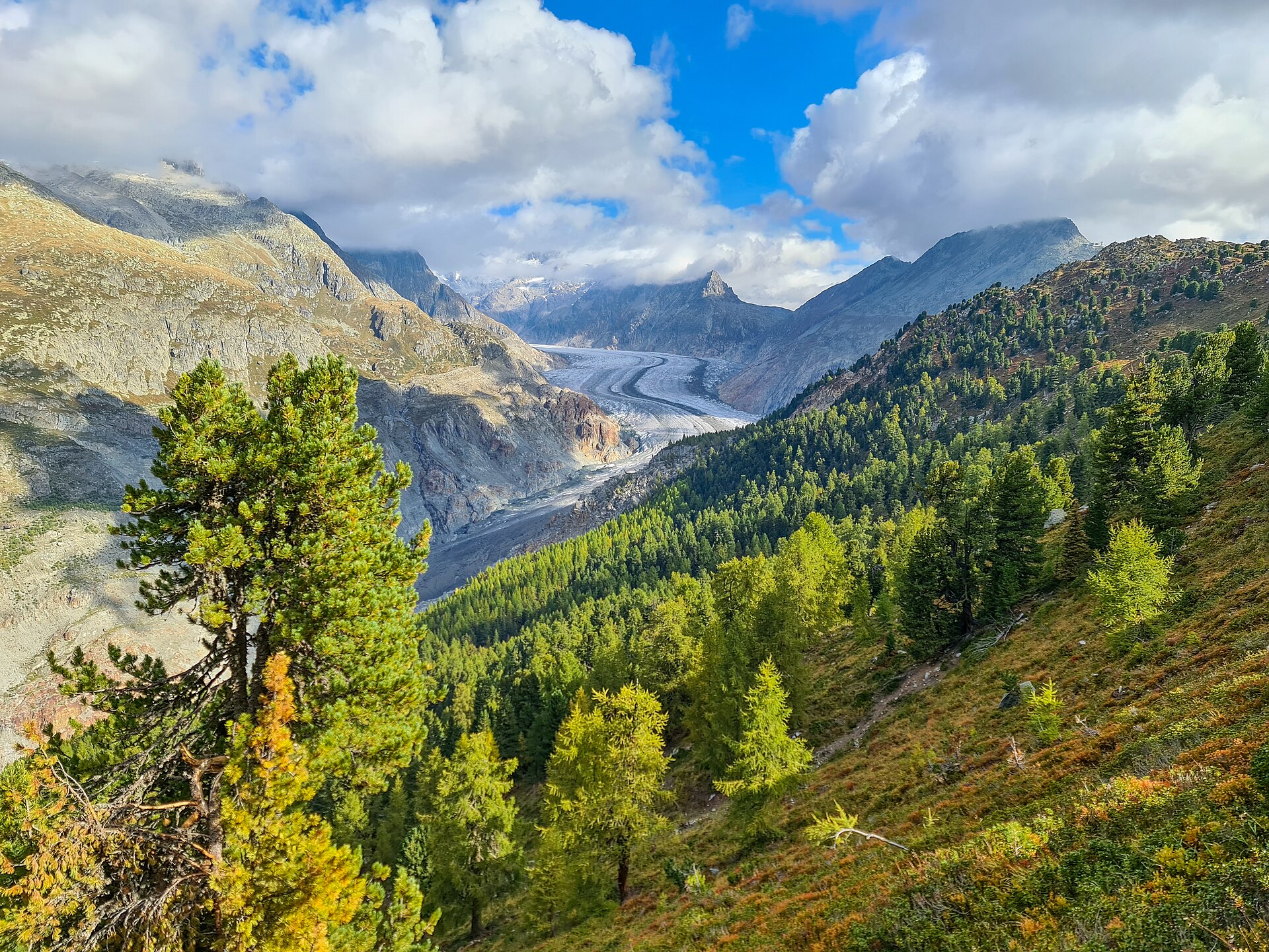
Aletsch Forest Nature Trail
Ancient Swiss pines on a ridge beside the Aletsch glacier.