
Crans-Montana Bisse du Ro Trail
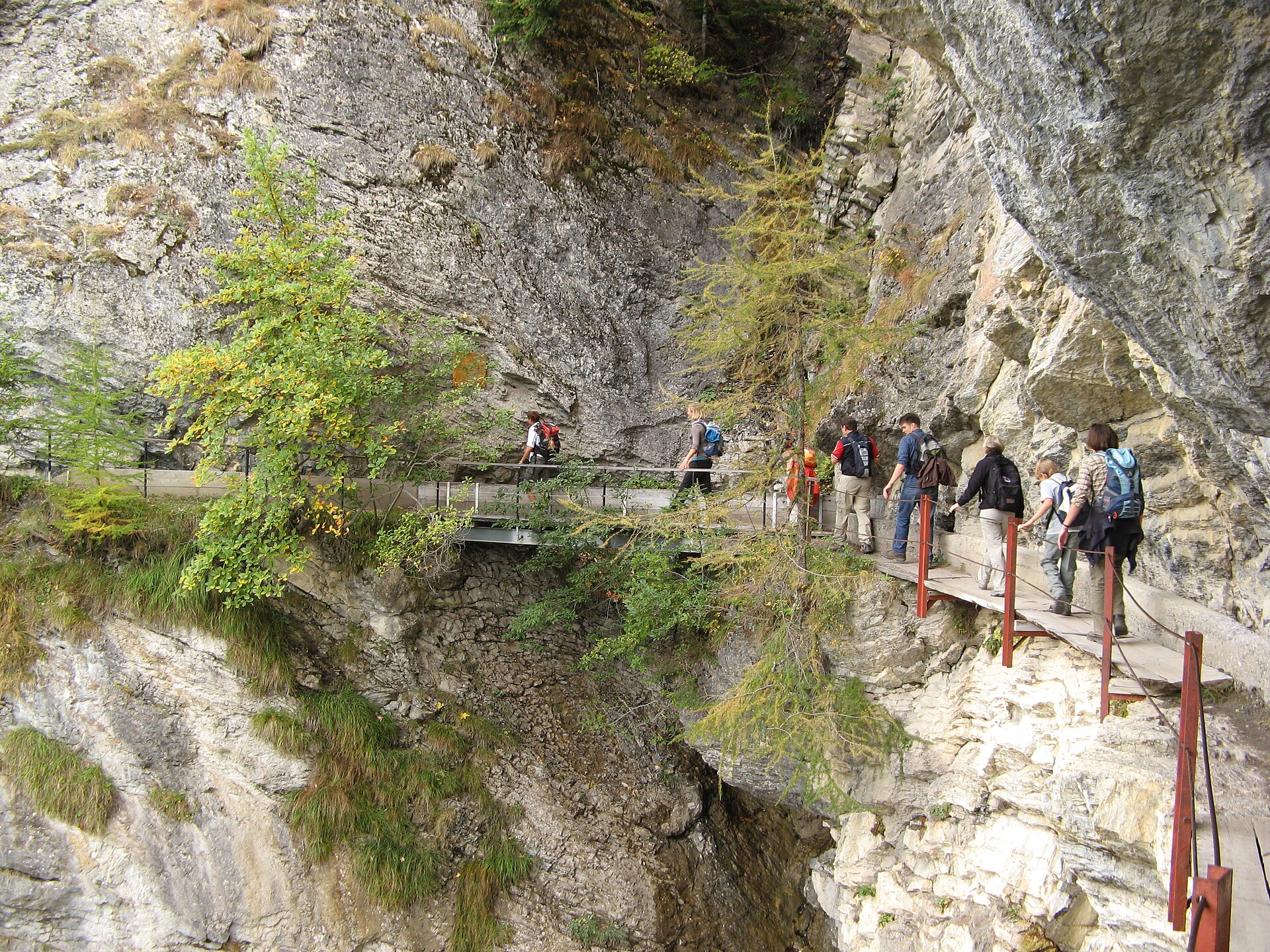
The Bisse du Ro Trail in Crans-Montana is a moderate (SAC T2) 7.2 km walk taking around 2.5 hours. It features a spectacular 120-meter-long suspension bridge hanging 70 meters above the ravine floor, tracing an ancient historic Valais water channel carved directly into sheer vertical cliffs. The Bisse du Ro is one of Valais' most daring historic irrigation channels (bisses), originally built in the 14th and 15th centuries to transport precious glacial water from the Lienne river across vertical rock faces to dry agricultural terraces. Today, a modern engineering masterpiece—a 120-meter suspension bridge—allows hikers to cross the dizzying Planeyse ravine safely while looking down at the old wooden water chutes hanging from sheer cliff walls.
- Distance
- 7.2 km
- Duration
- 2.5 h
- Ascent
- 310 m
- Difficulty
- Moderate
At a glance
2/5
5/5
4/5
May – Oct
Route
The route, step by step
- 1
Crans-Montana Trailhead
Start near the Etang Long lake in Crans-Montana and follow signs leading toward the Bisse du Ro path.
- 2
Historic Water Channel
Walk alongside the open stone-lined water channel as it contours gently along the forested mountainside.
- 3
The 120m Suspension Bridge
Step onto the steel suspension bridge spanning the Planeyse gorge 70 meters above the canyon floor.
- 4
Return Loop
Complete the circular route by climbing gently back up through pine forest toward Crans-Montana village.
Elevation profile
Choose your version
Short
Direct out-and-back from Cry d'Er parking area to the suspension bridge and back (4.0 km, ~1h 15m).
Classic
Full loop trail connecting Cry d'Er, the Bisse du Ro channel, and the suspension bridge (7.2 km, ~2h 30m).
Extended
Combine with the lower valley path leading down toward Lens or Sierre (12 km, ~4h).
Plan your day
Getting there & logistics
- Start
- Take the SBB train to Sierre/Siders, then ride the modern funicular (12 min) up to Crans-Montana station. Local buses connect to the trailhead.
- Finish
- Return via same route or loop connection
- Parking
- Drive up from Sierre or Sion to Crans-Montana. Multiple paid multi-story parking garages are available in the resort center. Paid parking at Congress Centre garage or Etang Long parking lots in Crans-Montana.
Before you leave, check
- Check weather forecasts; while lower than high alpine peaks, high winds can sway the suspension bridge.
- Wear footwear with sturdy rubber grip soles as metal bridge grating can be slick when wet.
- Arrive in the morning during peak summer weekends to secure parking near Etang Long.
- Carry a camera with wide-angle capabilities to capture the sheer cliff drops.
What this day costs
- Sierre to Crans-Montana Funicular Return: ~CHF 24.00 (50% off with Half Fare Card / Swiss Pass).
- Crans-Montana Parking: ~CHF 10.00–15.00 per day.
- Food/Café: CHF 20–35 per main course at village restaurants.
Plan B if the weather turns
If heavy rain or gale-force winds close the suspension bridge, enjoy the lower forest paths or explore the indoor amenities of Crans-Montana.
Good to know
- Rainy day
- The Alaïa Chalet (indoor action sports center) in Mraz / Sierre or shopping in Crans-Montana village.
- With kids
- Suitable for active children over 7 years old, but the suspension bridge has open wire mesh flooring that may induce vertigo.
- Dogs
- Allowed on leash; metal grid flooring on the suspension bridge can be uncomfortable for some dog paws.
Stay & rest
Rest options & mountain huts
Panoramic Picnic Spot
Lienne Gorge Rest Benches — Wooden picnic tables situated right after crossing the suspension bridge.
Supermarket Prep
Coop or Migros Crans-Montana village center before starting your walk.
On-Trail Mountain Inn
**Buvette du Ro** — Charming seasonal refreshment stop serving local Valais cheeses and dried meats.
Where to stay
Budget – Hotel Alpina Crans-Montana
Charming 3-star alpine chalet hotel offering comfortable rooms and great valley views.
Mid-Range – Crans Ambassador
4-star superior luxury lifestyle hotel featuring world-class spa facilities.
Upscale – LeCrans
5-star boutique luxury hotel perched high on the sunny plateau with Michelin-starred dining.
We may earn a commission from bookings made through this link.
Gear
Essential trail gear
For this hike
- Sturdy hiking boots
- Windproof shell jacket
- Water bottle (1.5L)
Always
- First aid kit
- Alpine emergency blanket
- Swiss topographic map / Komoot
Background
The story
Constructed under immense engineering constraints centuries ago, the original Bisse du Ro was considered one of the most perilous water channels in the Alps, with wooden planks pinned directly into vertical rock overhangs. The modern restoration project opened the suspended metal walkway, turning a once-dangerous path into a wildly popular cultural heritage hike.
Taste it
Relax at a sunny café in Crans-Montana village center after the hike with a refreshing glass of local Valais Fendant white wine and a plate of dried air-dried beef (Viande des Grisons / Valais platter).
Route notes
One of the most thrilling and historically fascinating irrigation channel (bisse) hikes in the Swiss Alps. Built originally in the 19th century to divert water from the Lienne gorge to the sunny terraces of Crans-Montana, the modern trail features a breathtaking 120-meter-long suspension bridge hanging 70 meters above the roaring gorge floor, carved cliffside paths, and stunning panoramic views across the Rhone Valley toward the Valais 4,000-meter peaks. ---
Nearby hikes
- Agettes to Veysonnaz Historic Bisse Walk – Valais, VS
- Pfynwald Forest and the Suspension Bridge – Leuk, VS
- Bisse de Clavau, Sion – Sion, VS
Where to stay nearby
- Alpine Retreat, Zermatt – Zermatt, VS
Experiences near this hike
We may earn a commission from bookings made through this link.
 Sponsoredfrom CHF 99Sponsoredfrom CHF 120Sponsoredfrom CHF 95
More things to do nearby
We may earn a commission from bookings made through this link.
Browse experiences on GetYourGuideDid you know?
Jungfraujoch is Europe's highest railway station (3,454 m).
Politics & HistoryJ.R.R. Tolkien's 1911 walking tour of Switzerland heavily influenced the landscapes of The Lord of the Rings.
Geography & NatureGrande Dixence is the world's tallest gravity dam (285 m) and holds 400 million m³.
You might also like
 Sponsored
Alpine Retreat, Zermatt
A design mountain lodge with Matterhorn views.
We may earn a commission from bookings made through this link.
 Featured
Barrhorn Alpine Ascent
Conquer Europe's highest officially marked hiking summit without ropes or glaciers.
 Featured
Mischabel Huts Approach
An extreme SAC T6 scramble above Saas-Fee up vertical ladders and iron rungs to the Mischabelhütte at 3,340 m.
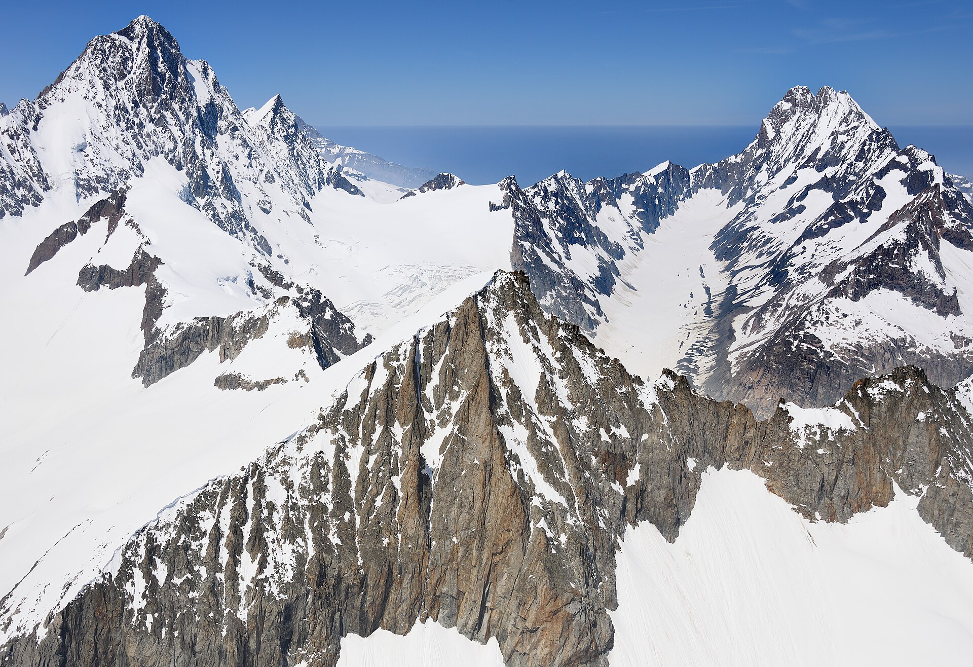
Äugststafel to Gemmipass High Trail
A dramatic high-alpine mountain traverse high above the Leukerbad thermal resort basin, linking Äugststafel with the historic Gemmipass hotel and cable car station. The trail tracks along high limestone cliffs and grassy slopes offering jaw-dropping panoramic views across the Valais Alps, including the towering peaks of the Weisshorn and Mischabel group. This classic route bridges Bernese and Valaisian alpine landscapes with secure, well-maintained paths.
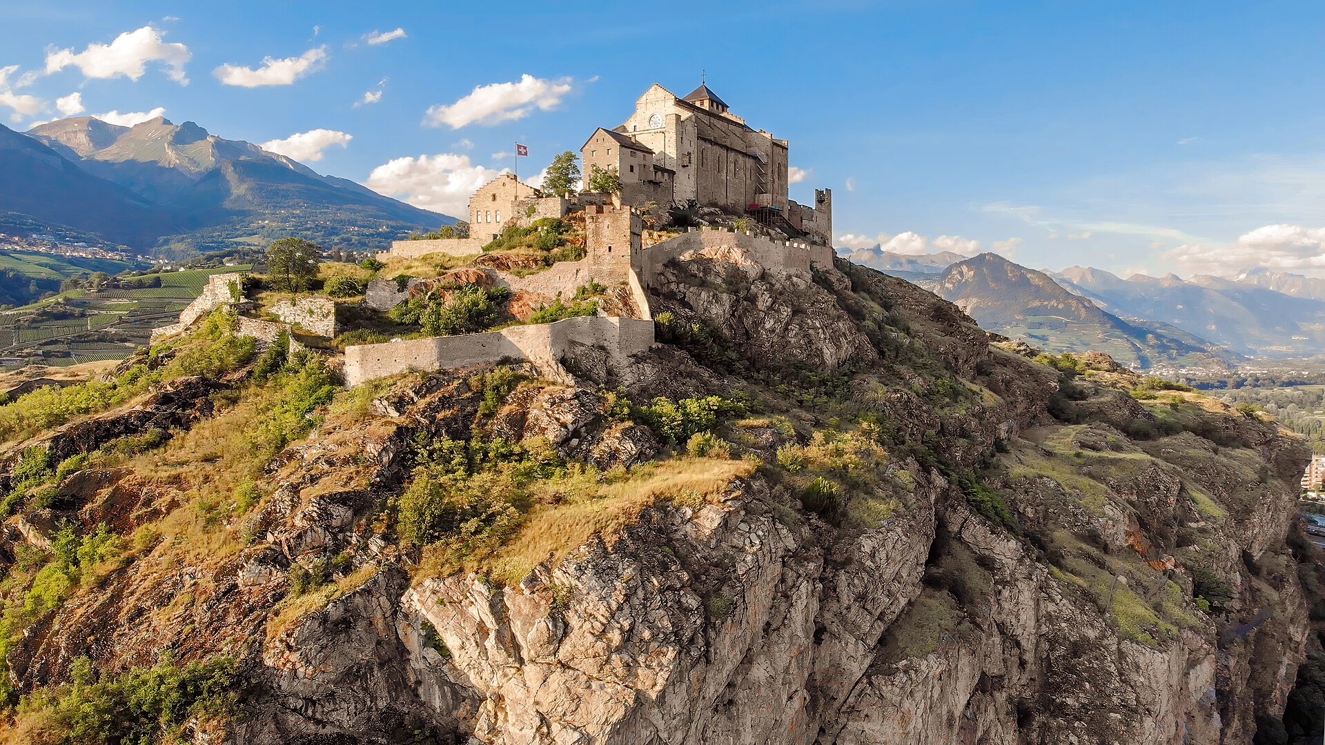
Agettes to Veysonnaz Historic Bisse Walk
A flat, gentle walking route following the contour lines of the historic Bisse de Vex along the sunny slopes of the Rhône Valley. Constructed in the 15th century to carry mountain meltwater to agricultural vineyards, the bisse canal path leads through fragrant larch and pine forests, across wooden footbridges, and past open clearings offering panoramic vistas toward Sion's historic castles and the Bernese Alps. The trail features practically zero incline, making it suitable for all ages and fitness levels.
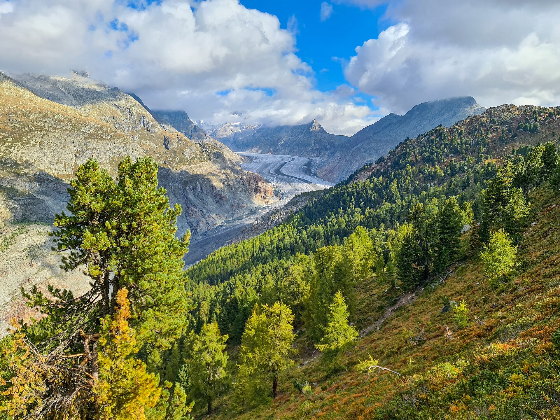
Aletsch Forest Nature Trail
Ancient Swiss pines on a ridge beside the Aletsch glacier.