
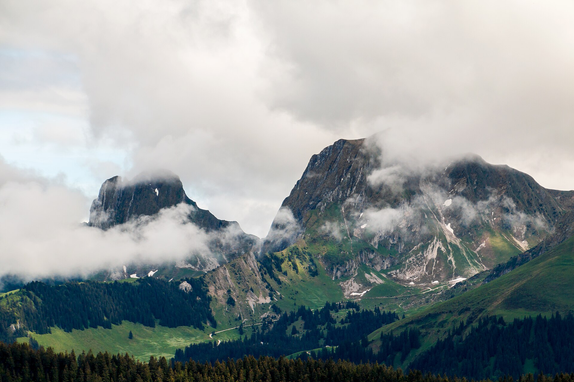
Gantrisch Summit
The Gantrisch is the namesake peak of the Gantrisch Nature Park, a limestone summit between Bern and Fribourg. From the top you see the Plateau, the Jura and a long line of Alps. The slopes are mostly pasture and scree. The path climbs from the Gurnigel pass through pasture and rocky ground to the ridge. It is steady with a few steeper sections near the top. A good half day on a clear day. SAC T2: T2 Mountain hiking: steep in places, sure feet needed
- Distance
- 10 km
- Duration
- 4.3 h
- Ascent
- 650 m
- Difficulty
- Moderate
At a glance
3/5
5/5
2/5
Jun – Oct
Route
The route, step by step
- 1
Gurnigel
Start at the pass and follow signs to the Gantrisch.
- 2
Pasture climb
A steady climb through alpine pasture.
- 3
Rocky slope
The path steepens on scree and rock.
- 4
Summit
Reach the cross and return by the same path.
Elevation profile
Choose your version
Short
Walk to the first viewpoint and return, about 2 hours.
Classic
Walk to the summit and back, about 4.5 hours.
Extended
Add the Gantrischseeli loop for a longer day.
Plan your day
Getting there & logistics
- Start
- Take the bus to Gurnigel from Bern or Thun (limited, seasonal). Check the timetable.
- Finish
- Drive from Bern to the Gurnigel pass, about 40 minutes.
- Parking
- A free or paid car park at the pass.
Before you leave, check
- Is the lift, boat or railway running today, and when is the last one down?
- Forecast for morning and afternoon (MeteoSwiss), and any storm warnings.
- Trail status: snow, rockfall or closures (local tourist office or lift operator).
- Last public transport home, and your plan if you miss it.
- Hut or restaurant opening days, and whether you need a reservation.
What this day costs
- Train and PostBus fares to the start and home from the end. A Half Fare Card halves most of these.
- Parking, if you drive: day rates vary by place and season, and some car parks fill early.
- Food and drink: mountain restaurants cost noticeably more than the valley. A picnic cuts the day cost sharply.
- Entry fees where they apply, for example caves, gorges or lakeside facilities.
Plan B if the weather turns
Visit Bern or the Gurten hill.
Good to know
- Rainy day
- Visit Bern or the Gurten hill.
- With kids
- Suitable for older children who like hiking.
- Dogs
- Allowed on lead. Cattle on the pastures.
Stay & rest
Rest options & mountain huts
Gurnigel pass restaurant
A restaurant at the pass.
Mountain farms
Seasonal cheese and drinks.
Picnic spots
Benches and grass.
Where to stay
Budget – Youth Hostel Bern
A clean hostel by the Aare.
Mid-range – Hotel Goldener Schlüssel
A friendly historic hotel.
Upscale – Bellevue Palace
The capital's grand hotel.
We may earn a commission from bookings made through this link.
Gear
Essential trail gear
For this hike
- Sturdy boots
- Warm layer
- Sun cream
- Poles
- Water and snacks
Always
- Sturdy hiking shoes with real tread (trainers only on the flattest routes)
- Water, at least 1 to 1.5 litres per person, more in summer
- Rain shell and one warm layer, even on a sunny morning
- Sun cream, hat and sunglasses (UV rises about 10% per 1,000 m)
- Snacks or a picnic and some cash in coins and small notes
- Phone with offline map (SwissTopo or Komoot), power bank, ID
- Small first-aid kit: plasters, blister tape, painkillers
Background
The story
The Gantrisch is the highest summit in the nature park of the same name.
Taste it
A Gantrisch Nature Park cheese platter and a coffee.
Route notes
The Gantrisch is the namesake peak of the Gantrisch Nature Park, a limestone summit between Bern and Fribourg. From the top you see the Plateau, the Jura and a long line of Alps. The slopes are mostly pasture and scree. The path climbs from the Gurnigel pass through pasture and rocky ground to the ridge. It is steady with a few steeper sections near the top. A good half day on a clear day. SAC T2: T2 Mountain hiking: steep in places, sure feet needed
Nearby hikes
- Gantrischseeli and the Gurnigel – Gurnigel, BE
- Santis Massif Summit & Geological Ridge Trail – Alpstein / Appenzell Alps, AR
- Santis Summit via Tierwis – Schwägalp, AI
Where to stay nearby
- Altstadt Boutique, Bern – Bern, BE
Experiences near this hike
We may earn a commission from bookings made through this link.
 Sponsoredfrom CHF 199Sponsoredfrom CHF 89Sponsoredfrom CHF 99
More things to do nearby
We may earn a commission from bookings made through this link.
Browse experiences on GetYourGuideDid you know?
You might also like
 Featured
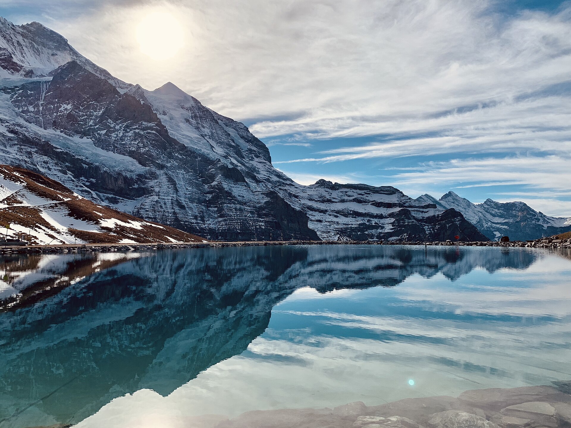
Eiger Trail: Eigergletscher to Alpiglen
A world-famous alpine traverse running directly along the base of the iconic Eiger North Face (Nordwand). Starting at the Eigergletscher station (2,320 m), the downhill trail tracks beneath the staggering 1,800-meter sheer limestone wall where legendary mountaineering history was written. The route offers unobstructed views over the Grindelwald valley, the Grosse Scheidegg pass, and the jagged Wetterhorn and Schreckhorn peaks.
 Featured
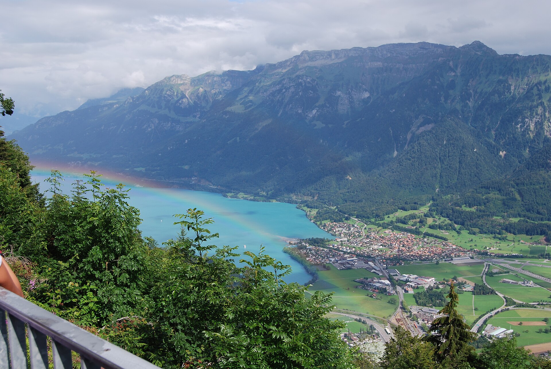
Hardergrat Ridge Traverse
Switzerland's most famous and thrilling knife-edge alpine ridge traverse.
 Featured
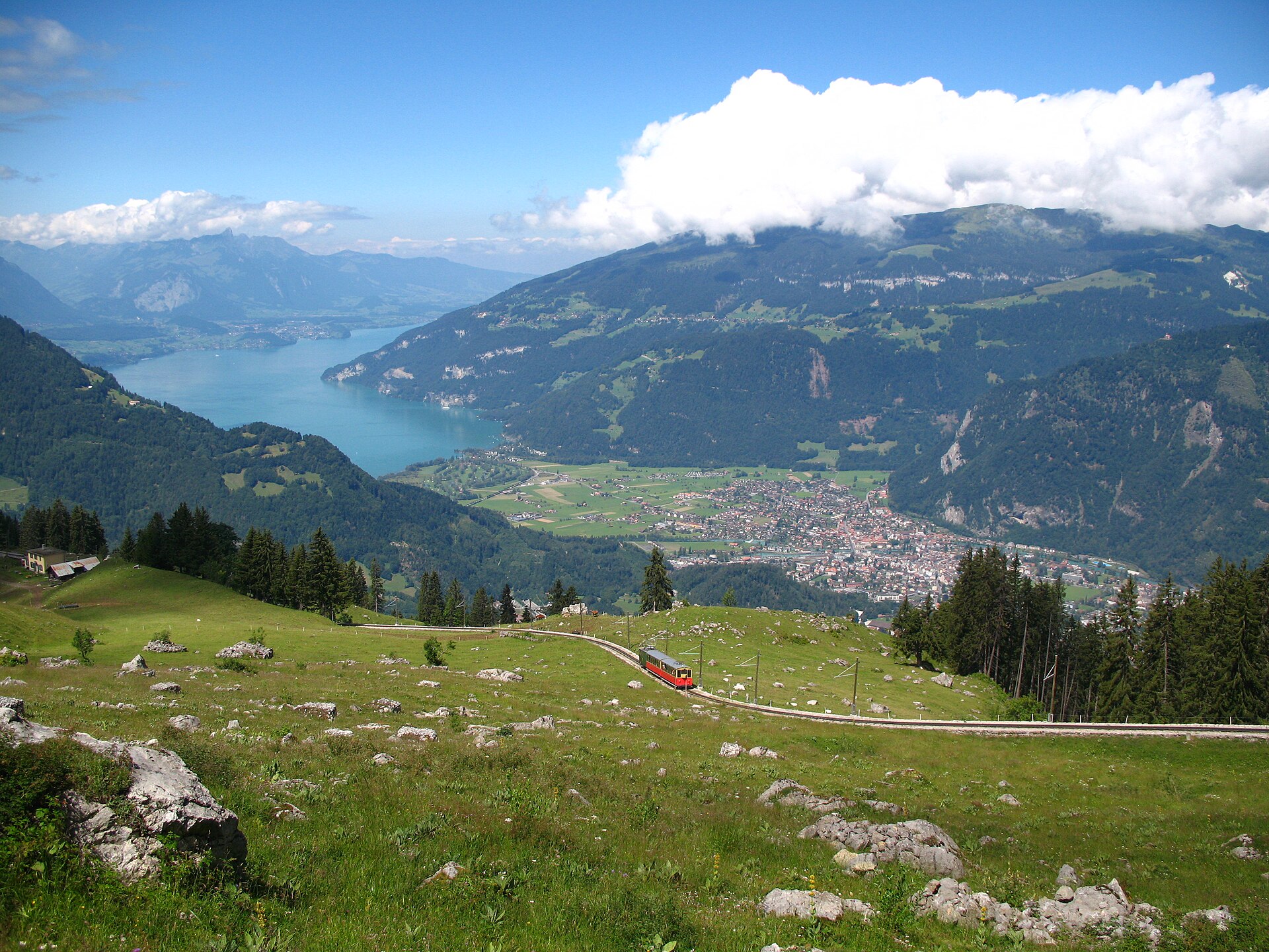
Schynige Platte Panorama Trail
A short, easy 5 km ridge loop reached by a wooden cogwheel train, facing the Eiger, Mönch and Jungfrau.
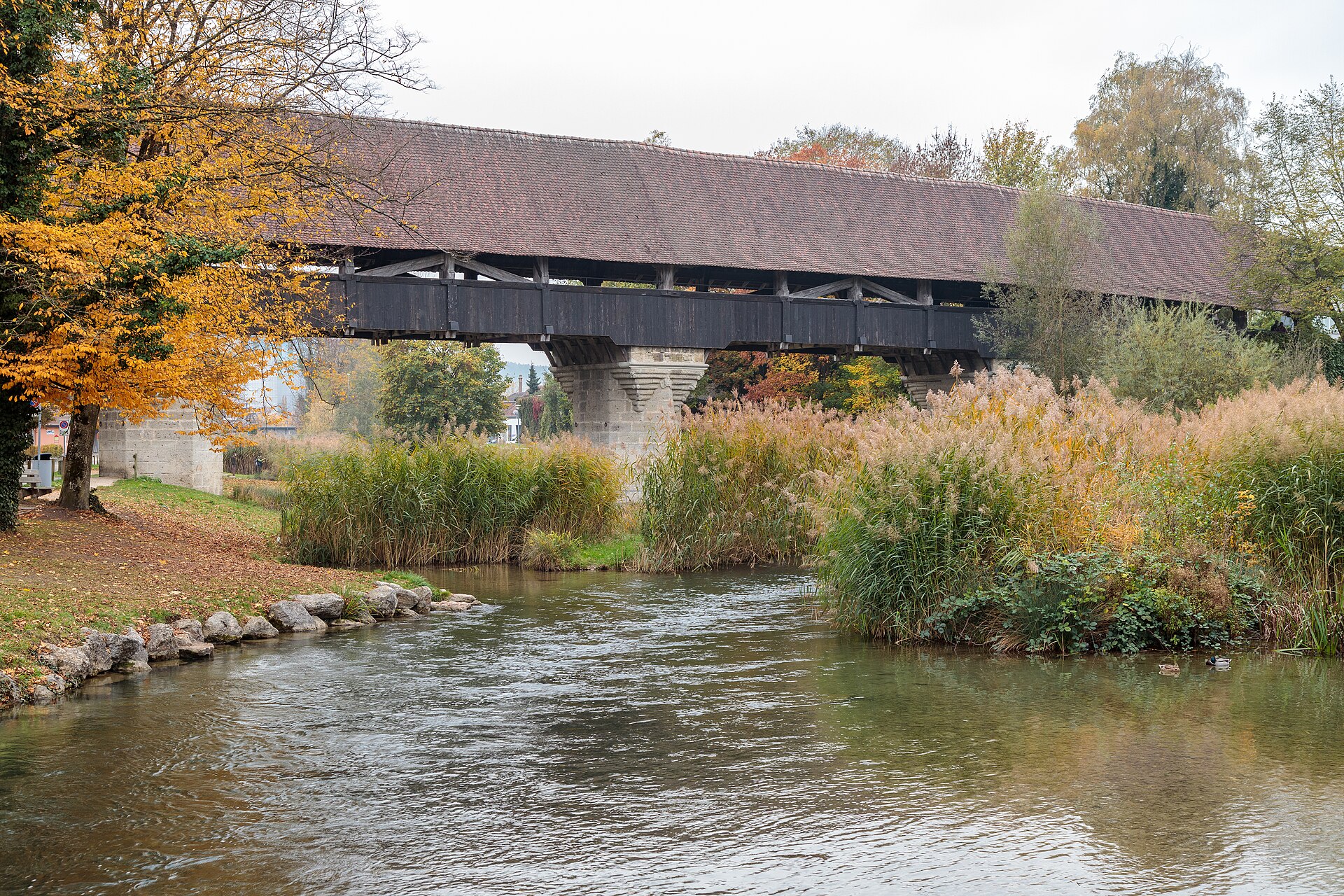
Aarberg and the Aare Canal
A town on an island with a covered wooden bridge, and a canal path through farmland.
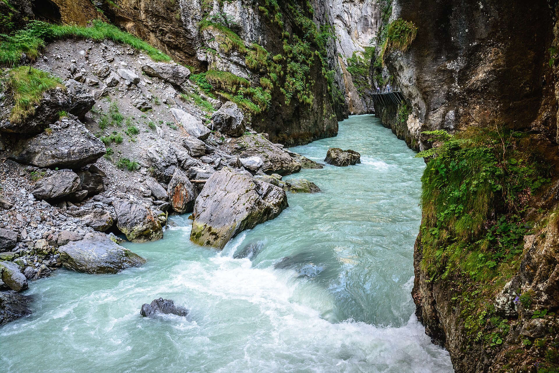
Aare Gorge and Meiringen
A narrow limestone gorge with a walkway cut into the cliff.
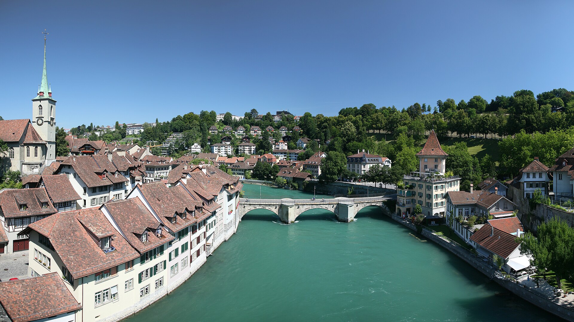
Aare River Walk in Bern, Marzili to Eichholz
A river walk through the capital, with a swim stop if you dare.